The best gravel rides around Schlins
4.5
(51)
472
riders
35
rides
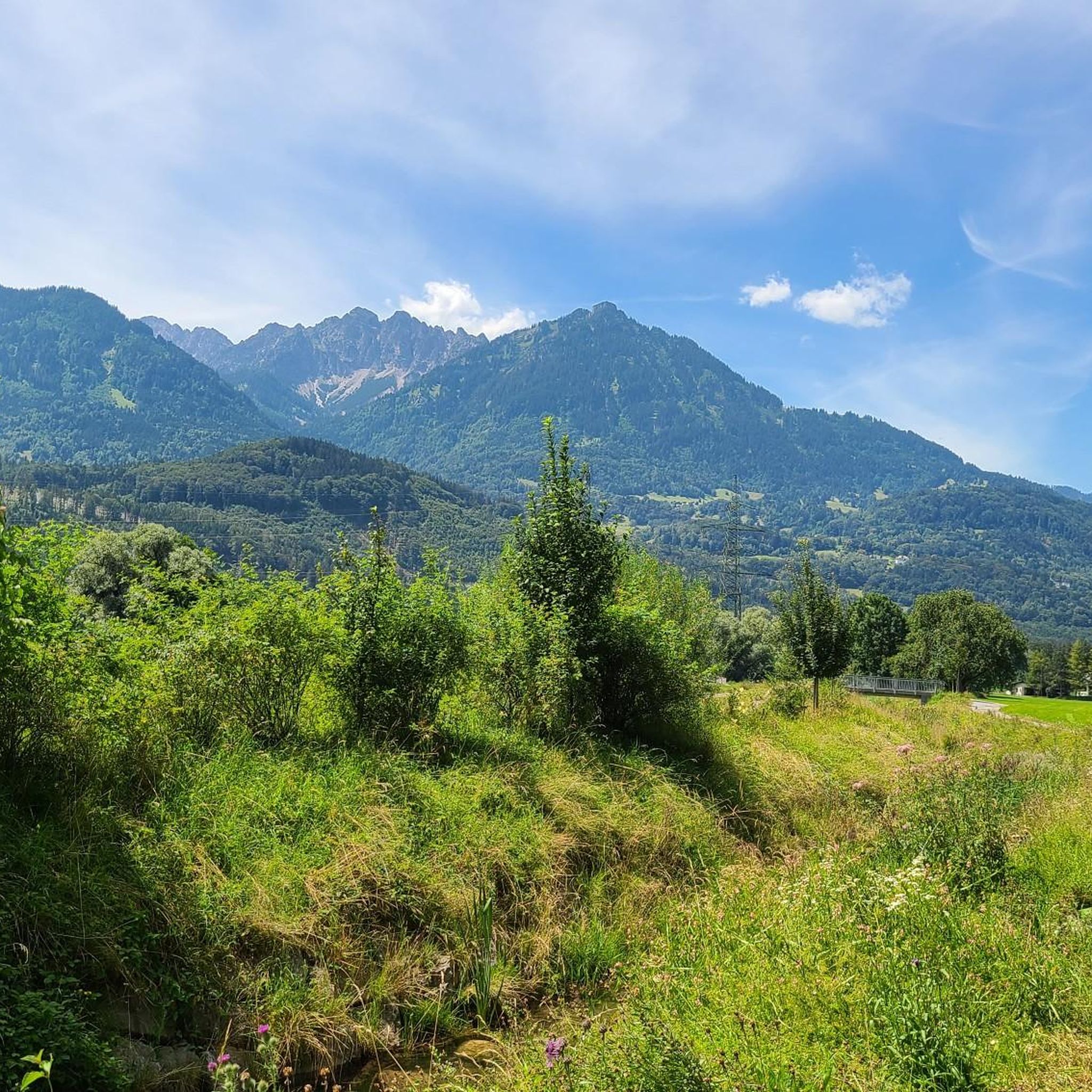
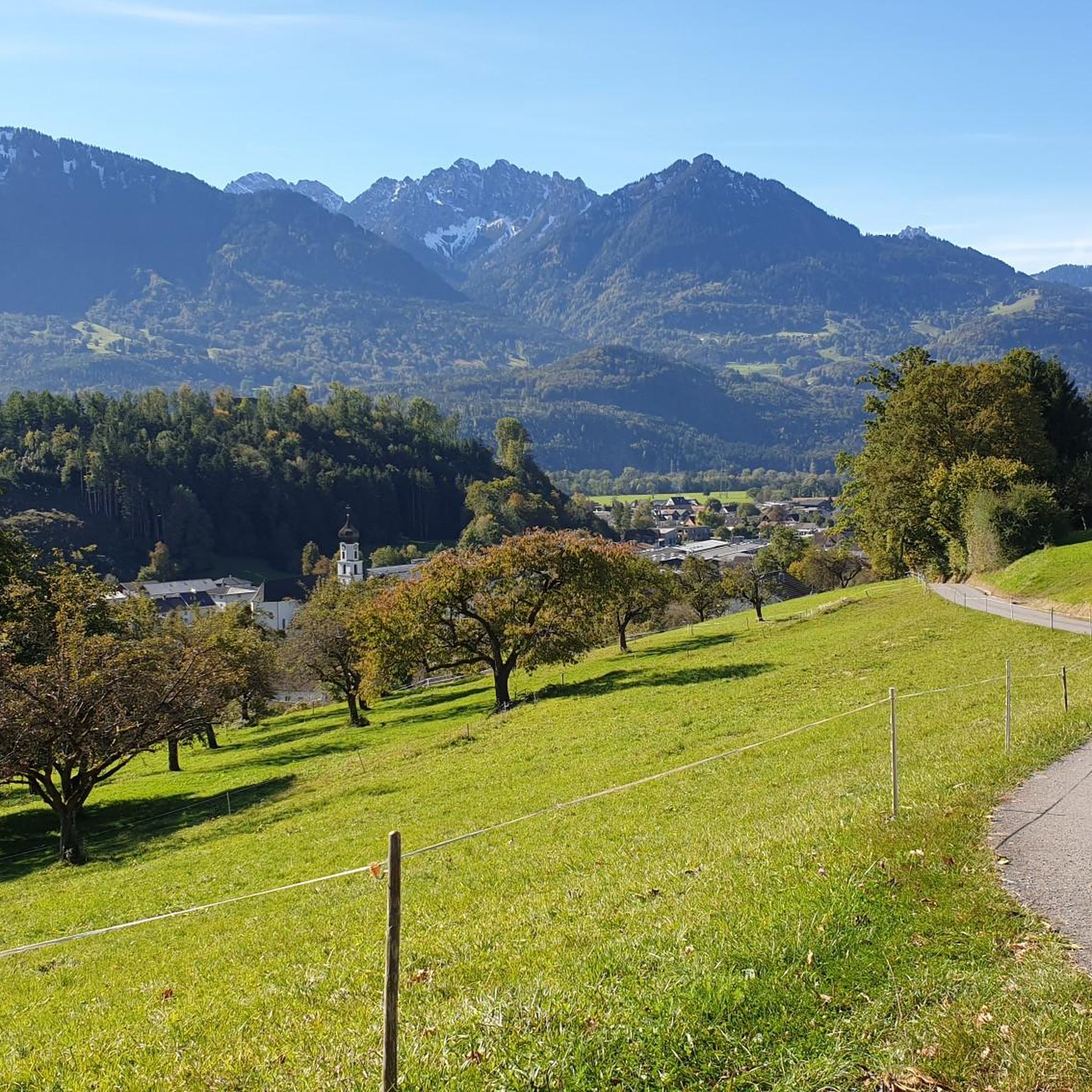
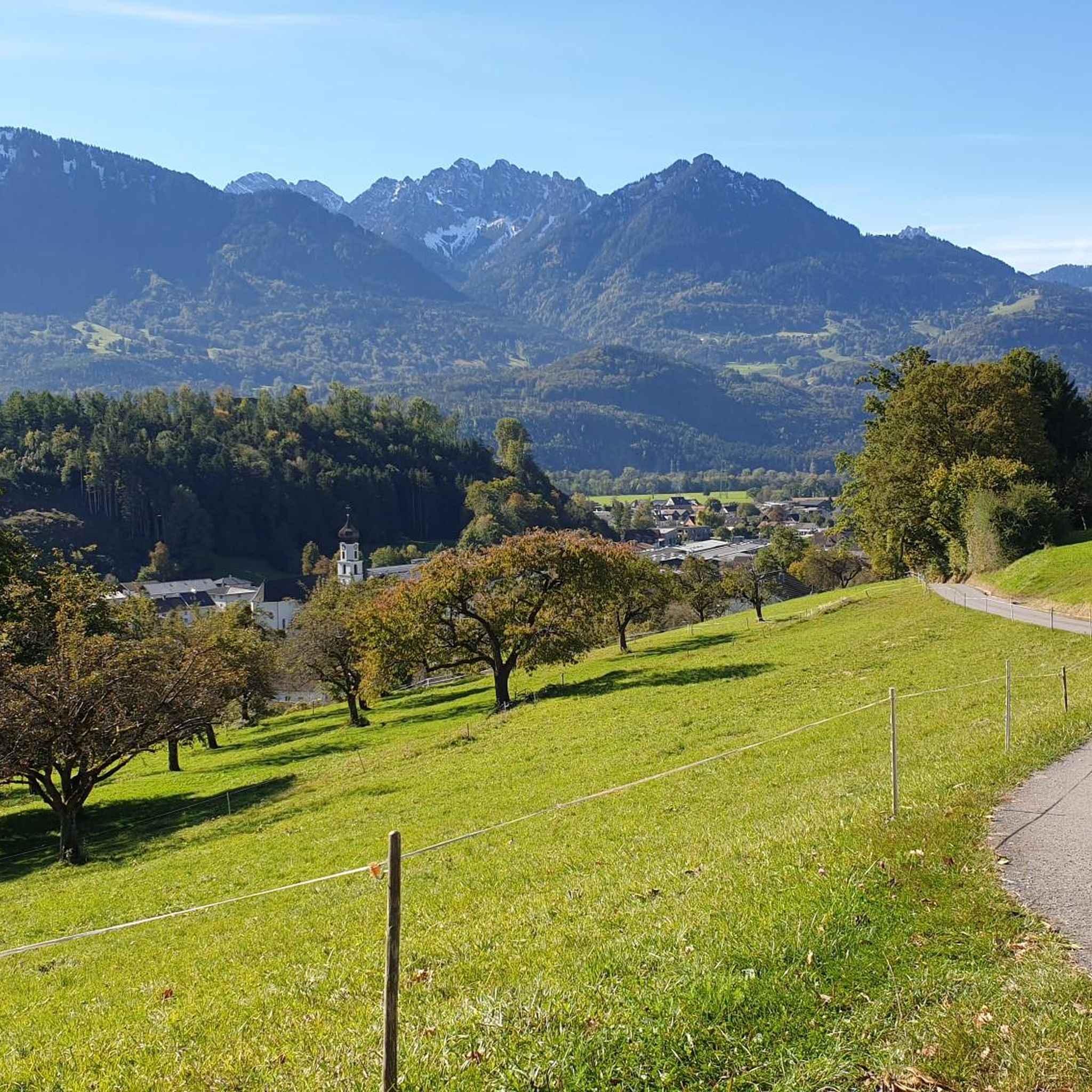
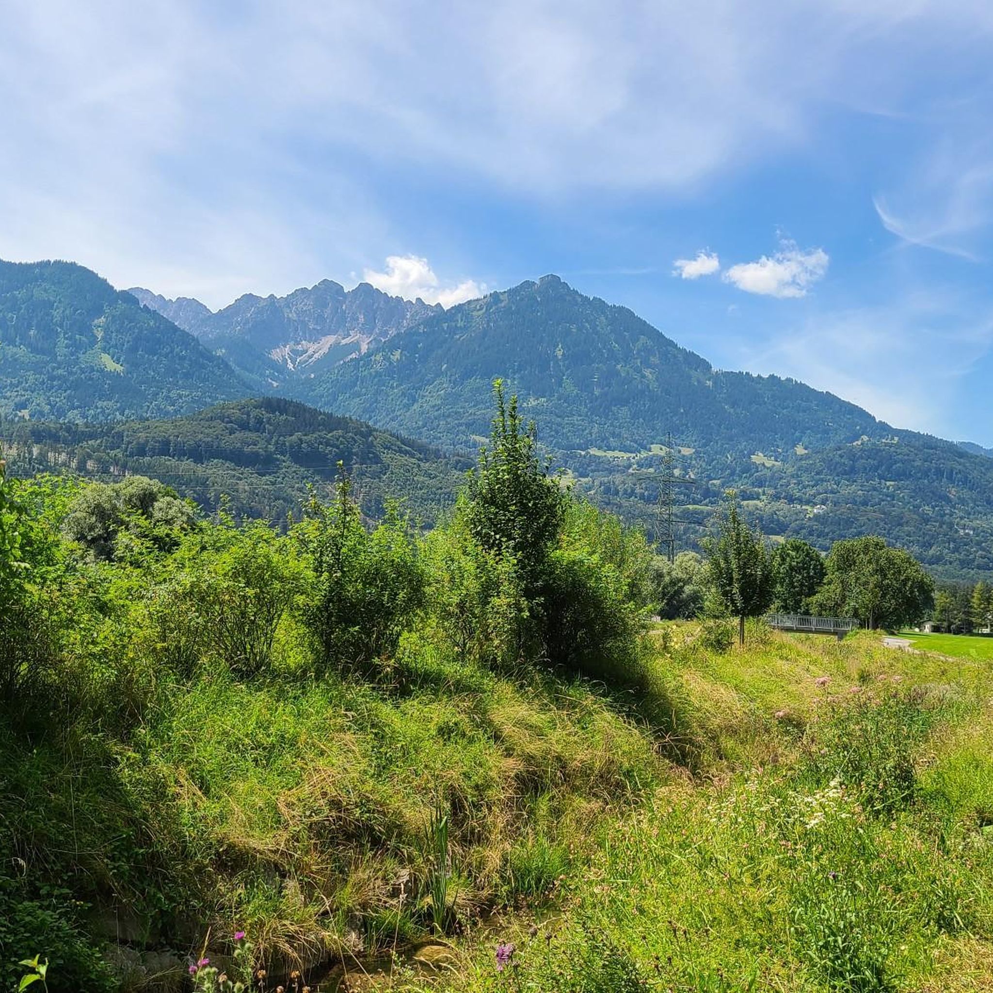
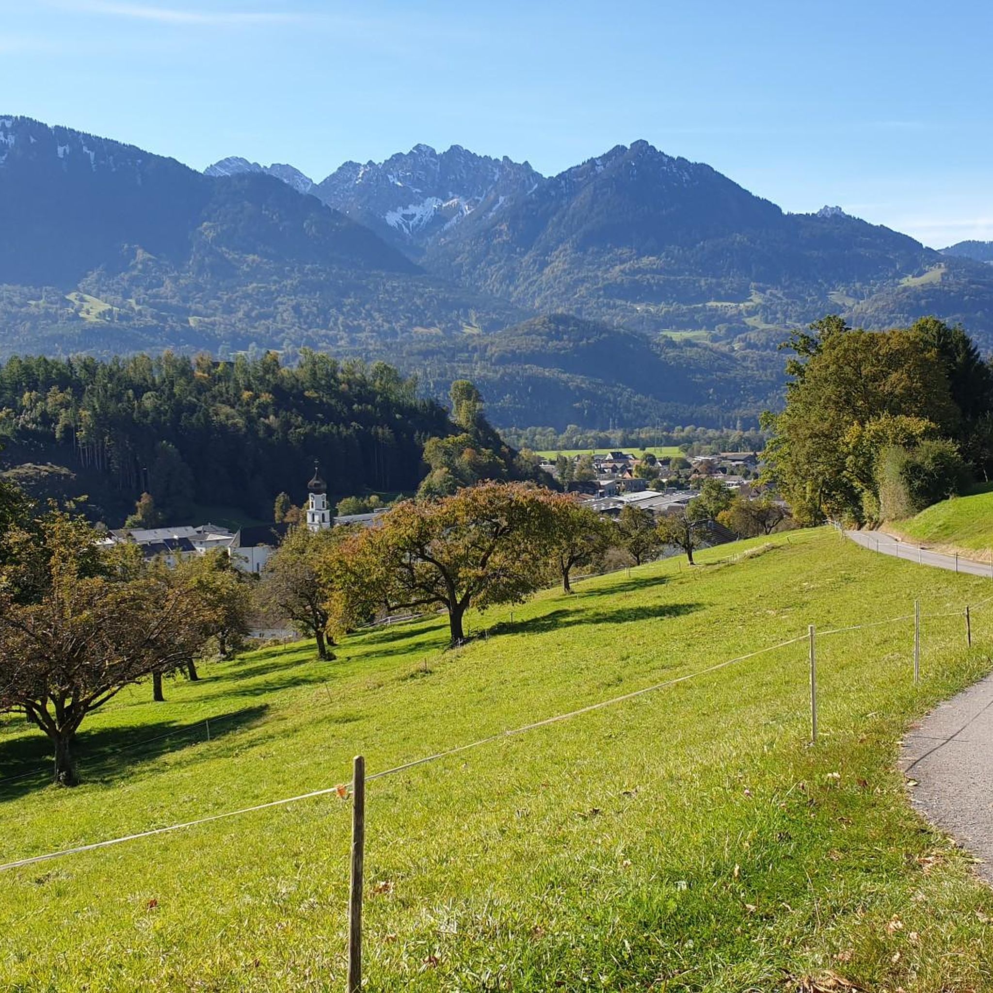
Gravel biking around Schlins offers diverse terrain within Austria's Vorarlberg state, characterized by significant elevation changes and varied landscapes. The region features prominent mountain scenery, alpine environments, and deep gorges carved by streams. Gravel bike trails often traverse forests, follow river paths like the Ill River, and climb over hills, providing both scenic beauty and technical challenges.
Best gravel bike trails around Schlins
- The most popular gravel bike trail is Großes Walsertal Gravel Tour, a 37.6 miles (60.5 km)…
Last updated: May 21, 2026
5.0
(1)
19
riders
60.5km
05:57
2,120m
2,120m
Hard gravel ride. Very good fitness required. Mostly paved surfaces. Suitable for all skill levels.
4.8
(4)
31
riders
32.0km
02:29
300m
300m
Moderate gravel ride. Good fitness required. Mostly paved surfaces. Suitable for all skill levels.

Sign up for free
2.0
(1)
15
riders
94.1km
07:01
2,080m
2,080m
Hard gravel ride. Very good fitness required. Mostly paved surfaces. Suitable for all skill levels.
3.3
(4)
45
riders
Moderate gravel ride. Good fitness required. Mostly paved surfaces. Suitable for all skill levels.
5.0
(1)
18
riders
50.6km
03:36
1,270m
1,270m
Hard gravel ride. Very good fitness required. Mostly paved surfaces. Suitable for all skill levels.
Get access to more routes and recommendations from other explorers.
Sign up for free
Already have an account?
Our route recommendations are based on thousands of hikes, rides, and runs completed by other people on komoot.
Start today with a free account
Your next adventure awaits.
Login or Signup

Tips from the Community

Many cycle paths, little traffic, interesting areas!
0
0

Montiola Weiher, Thüringen The Montjola ponds were created in 1837 for the utilization of water power for the textile industry in Thüringen. In addition, the Montjola ponds have since been a popular destination for excursions and a local recreation area. The Montjola ponds (also: Montjola-See or Montiola-Weiher, 686 m above sea level) are located on the Quadern high plateau in the municipality of Thüringen. The Montjola ponds were created in 1837 for the operation of the spinning and weaving mill founded by John Douglass and partner. In the 1980s, the ponds were dredged. In 2016, Montjola pond II was renovated and redesigned for approximately 250,000 Euros[2], and the infrastructure was slightly expanded.[3][4] At the same time, a "Historical Experience and Educational Trail" was established, illustrating the long history of water power utilization for industry in Thüringen. A significant portion of the costs was funded through the European Union's LEADER action program. In 2024, a roughly 700-meter-long tunnel was laid using the micromining method to relieve the ponds and provide flood protection, diverting excess water from the Schwarzbach via the Schlosstobel into the Lutz. In the spring of 2025, planting of the renatured pond took place with the participation of students from the Thüringen elementary school. Text / Source: Austria-Forum https://austria-forum.org/af/AustriaWiki/Montjola-Weiher
14
0

Beautiful old town with many gabled houses and half-timbered buildings.
2
0

Very beautiful old town with many restaurants.
3
0

Striking river mouth on the Rhine Cycle Route🥰
1
0

Beautiful gravel path above Schruns with great views of the valley and the mountains.
0
0
The Ill River flows directly into the Alpine Rhine at the so-called Illspitz – a popular meeting place for cyclists and walkers who enjoy cooling off in the water or having a picnic. Not far away is the modern Illspitz power plant, which has been generating electricity since 2014 and also incorporates ecological improvements such as fish ladders and renaturalized river sections.
3
0

Frequently Asked Questions
How many gravel bike trails are available around Schlins?
There are over 60 gravel bike routes around Schlins, offering a wide range of options for different skill levels. You'll find 8 easy, 26 moderate, and 31 difficult trails to explore.
What kind of terrain can I expect on gravel bike routes in Schlins?
Gravel biking around Schlins features diverse terrain, including significant elevation changes, mountain scenery, alpine environments, and deep gorges. Routes often traverse forests, follow river paths like the Ill River, and climb over hills, providing both scenic beauty and technical challenges with many unpaved segments.
Are there any easy gravel bike routes suitable for beginners in Schlins?
Yes, Schlins offers 8 easy gravel bike routes. While the region is known for its challenging terrain, there are options designed for those new to gravel biking or looking for a more relaxed ride. These routes typically have less elevation gain and smoother surfaces.
What are some notable natural features or landmarks I might see on a gravel bike tour?
The region is rich in natural beauty. You might encounter the spectacular Bürs Gorge Trail, known for its jungle-like landscape and impressive waterfall. Other prominent features include the Mondspitze Summit Cross and Schillerkopf summit, offering rewarding views from higher elevations.
Are there any circular gravel bike routes around Schlins?
Yes, many routes in the area are circular. For example, the Alpe Gamp – Alpe Gamp loop from Schlins-Beschling is a challenging 23.2 km loop that takes you to alpine pastures with rewarding views. Another option is the Lake Galina – Ill River Cycle Path loop from Nenzing, a moderate 35.3 km trail through river valleys.
What do other gravel bikers say about the trails in Schlins?
The gravel routes in Schlins are highly rated by the komoot community, with an average score of 4.4 stars from over 70 reviews. Many riders praise the diverse terrain, the stunning mountain scenery, and the rewarding challenges offered by the trails.
Are there any routes that follow river paths?
Yes, several routes incorporate river paths. The Lake Galina – Ill River Cycle Path loop from Nenzing, for instance, leads through river valleys and past Lake Galina. The Ill River itself is a prominent feature in the region, offering scenic stretches for cycling.
Can I find routes with significant elevation gain for a challenging ride?
Absolutely. Schlins is known for its demanding routes with substantial elevation changes. The Großes Walsertal Gravel Tour is a prime example, covering 60.5 km with over 2,100 meters of elevation gain, making it a difficult and rewarding experience.
Are there any routes that offer views of the Rätikon Mountains?
Yes, you can find routes that provide stunning vistas of the Rätikon Mountains. The View of the Rätikon Mountains – Alpe Rona (Noglitz) loop from Schlins-Beschling is a difficult 29.9 km loop specifically designed to showcase these impressive mountain ranges.
What is the best time of year for gravel biking in Schlins?
While specific seasonal conditions can vary, the spring, summer, and early autumn months generally offer the most favorable weather for gravel biking in Schlins. During these times, trails are typically clear of snow, and temperatures are pleasant for longer rides, allowing you to fully enjoy the mountain scenery.
Are there any routes that pass by alpine pastures?
Yes, several routes ascend to alpine pastures, offering both challenging climbs and beautiful views. The Alpe Gamp – Alpe Gamp loop from Schlins-Beschling is a difficult route that takes you up to Alpe Gamp, providing a classic alpine gravel biking experience.
Are there any routes that combine river valleys and lakes?
Indeed. The Ill River Cycle Path – Lake Galina loop from Schlins-Beschling is a challenging 57.8 km route that beautifully combines stretches along the Ill River with views of Lake Galina, offering a diverse landscape experience.
Most popular attractions around Schlins

Get inspired with the komoot mobile app


Explore more
Browse the best Gravel rides in other regions.
