The best gravel rides around Buchkirchen
4.5
(10)
108
riders
15
rides
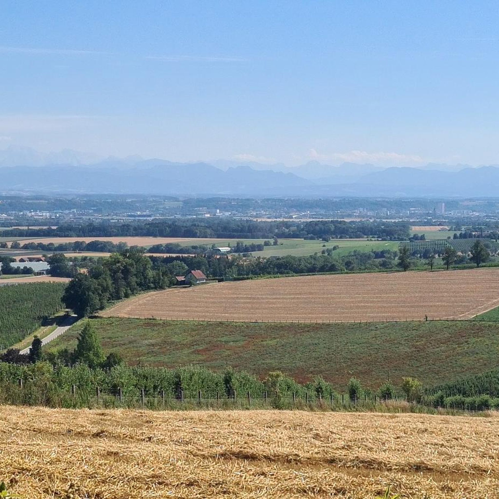
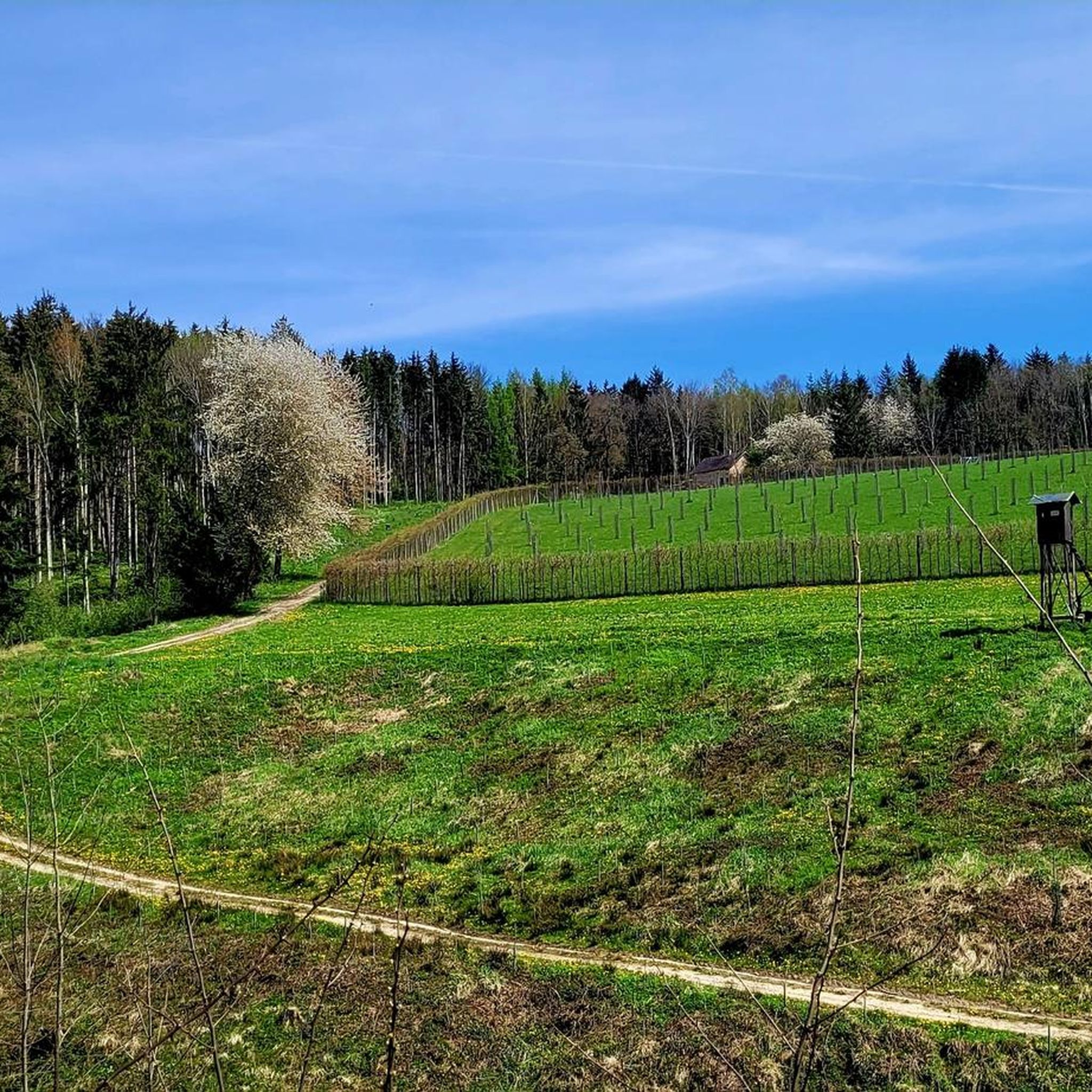
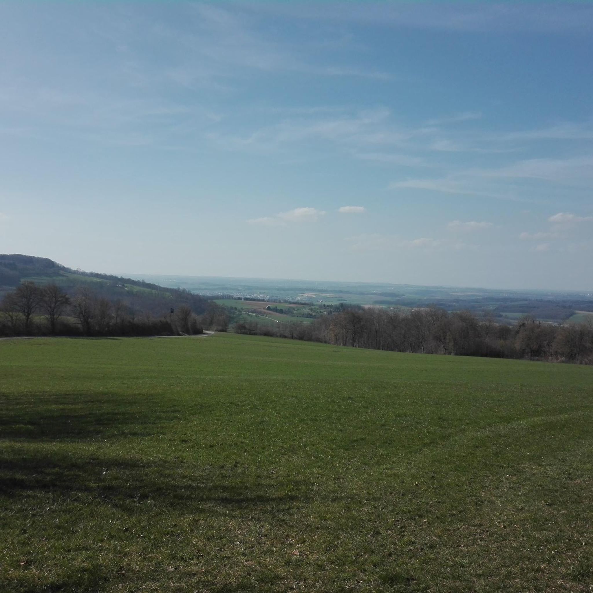
Gravel biking around Buchkirchen offers diverse terrain across rolling hills, green meadows, and forests. The region features a network of trails that combine asphalted roads with gravel and forest paths, suitable for gravel bikes. Cyclists can experience the picturesque meadows of the Alpine Foreland and gentle river valleys, particularly along the Traun and Ager rivers. Several viewpoints provide expansive vistas of the Wels Basin and the Alpine foothills.
Best gravel bike trails around Buchkirchen
- The most popular gravel bike trail…
Last updated: July 3, 2026
4.5
(8)
82
riders
43.1km
02:19
100m
100m
Hard gravel ride. Good fitness required. You may need to push your bike for some segments of this route.
6
riders
45.9km
03:08
530m
530m
Hard gravel ride. Very good fitness required. Mostly paved surfaces. Suitable for all skill levels.

Sign up for free
4.0
(1)
4
riders
Easy gravel ride. Great for any fitness level. Mostly paved surfaces. Suitable for all skill levels.
5.0
(1)
5
riders
40.1km
02:26
210m
210m
Moderate gravel ride. Good fitness required. Mostly paved surfaces. Suitable for all skill levels.
11
riders
28.7km
01:36
80m
80m
Easy gravel ride. Great for any fitness level. Mostly paved surfaces. Suitable for all skill levels.
Get access to more routes and recommendations from other explorers.
Sign up for free
Already have an account?
Our route recommendations are based on thousands of hikes, rides, and runs completed by other people on komoot.
Start today with a free account
Your next adventure awaits.
Login or Signup
Tips from the Community

A very sweet path as a shortcut to the airport
0
0

Pupping is a municipality with 1792 inhabitants in Upper Austria in the district of Eferding in the Hausruckviertel region.
0
0
Austria's highest fish ladder is currently being built in Traun-Pucking.
0
1

Ottensheim-Wilhering Power Plant and Lock! This impressive facility on the Danube plays an important role in energy generation and shipping. Here are some interesting aspects: ### General Information - **Location**: The power plant and lock are located in the municipality of **Wilhering** in **Upper Austria**. - **Year of Construction**: The power plant was built from **1970 to 1975** and is a run-of-river power plant. ### Technical Features 1. **Lock**: - The lock has **two lock chambers** measuring **230 × 24 m**. - It allows ships to pass through and overcomes the height difference in the river. 2. **Power Plant**: - The power plant has an **capacity** of approximately **30 MW** and uses the current of the Danube to generate electricity. - It is part of a project with **72 million euros** being invested to ensure the lifespan and efficiency of the power plant for another **50 years**. 3. **Water level**: - The river dam length is **16 km**, and the dam target is at an altitude of approximately **250 m**. ### Significance - **Energy generation**: The power plant contributes significantly to the region's electricity supply and is an important component of renewable energy sources in Austria. - **Shipping**: The lock is a central point for inland navigation on the Danube, enabling the transport of goods and passengers. ### Summary The **Ottensheim-Wilhering power plant and lock** are not only technical masterpieces, but also crucial elements for the energy supply and shipping in the region. A visit to this facility offers exciting insights into the world of hydropower and engineering! ✨
2
0

Fastest connection between Danube north of Ottensheim - Feldkirchen and Danube south of Wilhering - Alkoven
0
0

Great bike path and suitable for everyone
3
1


is an impressive building
0
0
Frequently Asked Questions
How many gravel bike trails are available around Buchkirchen?
There are over 35 gravel bike trails around Buchkirchen, catering to various skill levels. You'll find 4 easy routes, 18 moderate, and 13 difficult options, ensuring a suitable ride for everyone.
What kind of terrain can I expect on gravel bike trails in Buchkirchen?
The terrain around Buchkirchen is diverse, featuring rolling hills, green meadows, and picturesque forests. Trails often combine asphalted roads with gravel and forest paths, making it ideal for gravel bikes. You'll experience a varied landscape with gentle undulations and scenic backroads.
Are there any family-friendly gravel bike routes in Buchkirchen?
Yes, Buchkirchen offers routes suitable for families. While specific 'family-friendly' tags aren't always present, the region's extensive network includes many quiet backcountry cycleways and footpaths. Look for the 'easy' rated routes, which are generally shorter and have less elevation gain, providing a pleasant experience for all ages.
Can I find circular gravel bike routes in the Buchkirchen area?
Yes, the Buchkirchen area is known for its circular routes. Local options like the Hundsbergrunde, Südhangrunde, and Niederlaaber Runde offer varying distances and elevations. For example, the Traunuferstraße – Traun River loop from Oftering is a moderate 24-mile (38.6 km) trail that provides a great circular experience along the Traun River.
What are some scenic viewpoints or natural features I can see along the gravel bike trails?
Many routes offer expansive vistas. You can enjoy views of the Wels Basin and the majestic Alpine foothills from several points, such as along the Hundsbergrunde trail. The Schartner ridge also boasts sweeping views of the Alps and the Mühlviertel region. Additionally, routes like the View of Eferdinger Landl – Firlingerhof Cider Tavern loop from Marchtrenk provide beautiful panoramas.
Are there any historical sites or landmarks to explore near the gravel routes?
Yes, the region blends natural beauty with cultural heritage. You can find historic churches and chapels along many trails. The nearby city of Wels offers attractions like the Wels Town Square, and you might pass by castles such as Wels Castle or Starhemberg Castle, which are great for a brief stop.
What do other gravel bikers enjoy most about gravel biking in Buchkirchen?
The komoot community highly rates the gravel biking experience in Buchkirchen, with an average score of 4.2 stars from over 20 reviews. Riders often praise the diverse terrain, combining quiet backcountry roads with scenic forest paths, and the beautiful views of the Wels Basin and Alpine foothills.
Are there any routes that pass by lakes or offer opportunities for a refreshing stop?
Yes, several routes incorporate natural water features. For instance, the Feldkirchner Lakes – Pupping Franciscan Monastery loop from Eferding passes by the Feldkirchner Lakes, offering varied scenery and potential spots for a break. The Botanica Park, with its recreational oasis, is also near some routes and features diverse plant areas.
What is the best season for gravel biking in Buchkirchen?
Upper Austria, including Buchkirchen, is generally excellent for gravel biking from spring through autumn. The mild weather and lush landscapes make these seasons ideal. While winter riding is possible, conditions can vary, with potential for snow or ice on trails, so always check local forecasts.
Are there any longer, more challenging gravel bike routes for experienced riders?
Absolutely. For experienced riders seeking a challenge, Buchkirchen offers several difficult routes. The Traun River Cycle Path – Riverside Path Along the Traun loop from Wels Hauptbahnhof is a demanding 57.1-mile (91.9 km) path with significant elevation, providing extensive riverside views and a rewarding ride.
How can I access the gravel bike trails using public transport?
Many routes are accessible from towns with public transport connections. For example, the Traun River Cycle Path – Riverside Path Along the Traun loop from Wels Hauptbahnhof starts directly from Wels Hauptbahnhof (main train station), making it convenient for those arriving by train. Wels is a central hub with good public transport links.
Are there any specific routes that are good for beginners?
Beginners can look for the 'easy' rated routes in the area. These trails typically have less elevation gain and shorter distances, providing a gentle introduction to gravel biking. While specific beginner-only routes aren't highlighted, the overall network includes many quiet paths suitable for those starting out.
Most popular routes around Buchkirchen
Most popular attractions around Buchkirchen

Get inspired with the komoot mobile app


Explore more
Browse the best Gravel rides in other regions.
