The best gravel rides around Täsch
5.0
(10)
69
riders
7
rides
Gravel biking around Täsch offers routes through alpine valleys and along mountain flanks in the Swiss Alps. The region is characterized by significant elevation changes, with trails often leading past reservoirs and through varied terrain. Gravel bike trails near Täsch frequently involve climbs and descents, providing a challenging environment for riders. The landscape includes views of surrounding peaks and access to high-altitude features like dams.
Best gravel bike trails around Täsch
- The most popular gravel bike trail is Furi –…
Last updated: July 6, 2026
5.0
(3)
25
riders
42.1km
02:56
830m
830m
Hard gravel ride. Very good fitness required. Mostly paved surfaces. Suitable for all skill levels.
5.0
(3)
17
riders
19.0km
01:23
540m
540m
Hard gravel ride. Very good fitness required. Mostly paved surfaces. Suitable for all skill levels.

Sign up for free
9
riders
27.1km
01:51
390m
390m
Moderate gravel ride. Good fitness required. Mostly paved surfaces. Suitable for all skill levels.
5.0
(2)
8
riders
9.49km
00:55
370m
370m
Moderate gravel ride. Good fitness required. Mostly paved surfaces. Suitable for all skill levels.
5.0
(2)
10
riders
20.4km
01:27
440m
440m
Moderate gravel ride. Good fitness required. Mostly paved surfaces. Suitable for all skill levels.
Get access to more routes and recommendations from other explorers.
Sign up for free
Already have an account?
Our route recommendations are based on thousands of hikes, rides, and runs completed by other people on komoot.
Start today with a free account
Your next adventure awaits.
Login or Signup
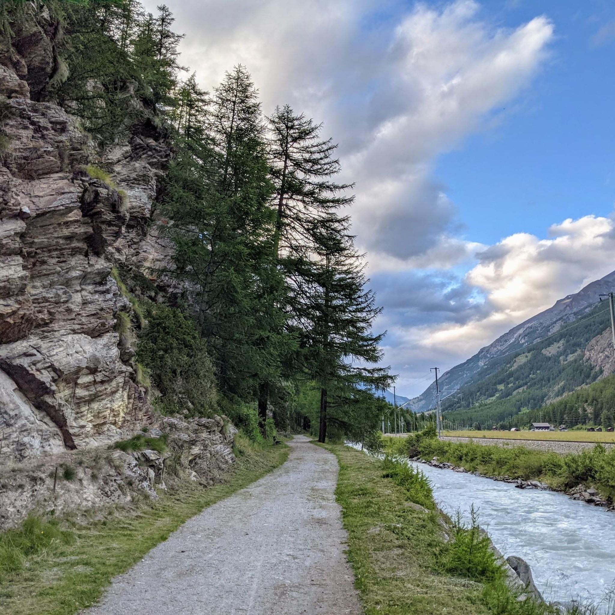
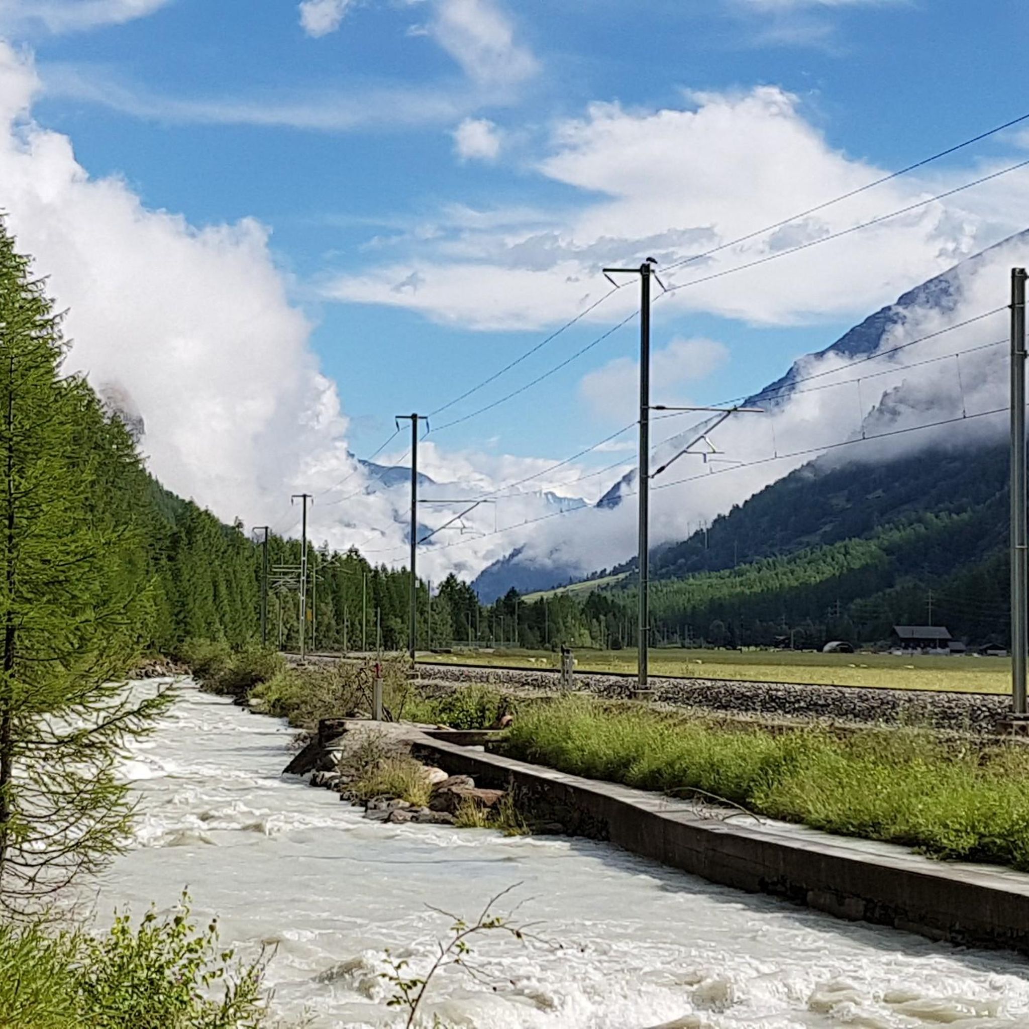
Other adventures around Täsch

Tips from the Community

It was carved into the rock. Benches invite you to rest.
0
0

The Mattsand compensation lake is located at an altitude of 1,230 meters. Water from the Mattern Vispa is collected in the lake and then transported north through the 12.5-kilometer-long pressure tunnel towards Törbel and Stalden.
0
0

Great village with great views and great food, you simply can't miss it!
0
0

The Zermeiggern Chapel also serves as a memorial site where those who died in the Mattmark disaster are commemorated.
9
0

Beautiful view of the Saaser Vispa River from the village of Saas-Almagell. The village also has a lovely little lake with a playground next door.
13
0

The view up there and the journey along the small road, some of which has switchbacks, is a real highlight. Whether you're traveling by bus, car, or bike. The condition of the road, which was repaired very quickly after the natural disaster in 2024, is also absolutely fantastic.
3
0
South of the Saas Valley lies Europe's largest earth dam, the Mattmark Dam. Used to generate electricity, this reservoir is a true powerhouse, fascinating not only for its technical details but also for its wildly romantic setting.
20
0
South of the Saas Valley lies Europe's largest earth dam, the Mattmark Dam. Used to generate electricity, this reservoir is a true powerhouse, fascinating not only for its technical details but also for its wildly romantic setting.
0
0
Frequently Asked Questions
What is the general difficulty level of gravel biking trails around Täsch?
Gravel biking around Täsch is characterized by significant elevation changes, making most routes moderately to very challenging. The region offers 3 moderate and 6 difficult routes, providing a challenging environment for riders.
Are there any family-friendly gravel biking options in Täsch?
While many routes involve substantial elevation, some sections or shorter loops might be suitable for families with older, experienced children. For a moderate option, consider Zmutt Dam – Furi loop from Zermatt, which is shorter and has less elevation gain compared to other difficult routes.
What is the best time of year for gravel biking in Täsch?
The best time for gravel biking in Täsch is typically from late spring to early autumn (May to October), when the alpine passes are clear of snow and weather conditions are more stable. Always check local weather forecasts before heading out, as mountain weather can change rapidly.
Can I go gravel biking in Täsch during winter?
Gravel biking in Täsch during winter is generally not recommended due to heavy snowfall, icy conditions, and potential avalanche risks at higher elevations. Many trails become impassable. It's best to stick to other winter sports or wait for the warmer months.
Are there any circular gravel bike routes around Täsch?
Yes, many of the gravel bike routes around Täsch are designed as loops. For example, the difficult Zmutt Dam – Furi loop from Herbriggen offers extensive riding through mountain valleys and past significant water features.
What kind of scenic viewpoints can I expect on Täsch gravel bike trails?
The gravel bike trails around Täsch offer stunning alpine scenery, including views of surrounding peaks, deep valleys, and large reservoirs. Routes often lead past high-altitude features like dams, providing panoramic vistas of the Swiss Alps.
Are there any cafes or places to stop for refreshments along the gravel bike trails?
While specific cafes directly on every trail are not listed, many routes pass through or near villages like Zermatt or Saas-Fee, where you'll find various options for refreshments. It's always a good idea to carry sufficient water and snacks, especially on longer routes.
What are some interesting landmarks or attractions near the gravel biking routes?
Around Täsch, you can explore several notable attractions. Consider visiting the Zermatt village center for its charm, or for a more challenging detour, the Hörnli Hut (Matterhorn Base Camp) offers incredible mountain views. There are also various mountain huts like Europa Hut and Britannia Hut that can be reached.
How long do gravel bike trails typically take to complete in Täsch?
The duration of gravel bike trails in Täsch varies significantly based on distance and elevation. For instance, the difficult Furi – Zmutt Dam loop from Zermatt GGB takes approximately 2 hours, while the moderate Saaser Vispa – Mattmark Reservoir loop from Saas-Grund can be completed in about 1 hour 45 minutes.
What do other gravel bikers enjoy most about gravel biking in Täsch?
The komoot community highly rates the gravel biking experience in Täsch, with an average score of 5.0 stars from over 10 reviews. Riders often praise the challenging alpine terrain, the stunning views of surrounding peaks, and the unique routes that lead past impressive reservoirs and through varied landscapes.
Are there any gravel bike trails that pass by large reservoirs?
Yes, several gravel bike routes in Täsch feature large reservoirs. The difficult Saas-Fee – Mattmark Reservoir loop from Saas-Fee is a prime example, leading through alpine valleys and directly towards a significant reservoir.
Most popular attractions around Täsch

Get inspired with the komoot mobile app


Explore more
Browse the best Gravel rides in other regions.
