The best gravel rides around Gsteig bei Gstaad
4.4
(10)
183
riders
15
rides
Gravel biking around Gsteig bei Gstaad offers routes through an alpine landscape characterized by high mountain passes, deep valleys, and forested slopes. The region features significant elevation changes, with trails often climbing over 1000 meters. Riders can expect a mix of gravel roads, unpaved tracks, and some paved sections connecting villages and scenic points. This area provides challenging gravel bike trails near Gsteig bei Gstaad, suitable for experienced riders.
Best gravel bike trails around Gsteig bei Gstaad
- The most popular…
Last updated: October 5, 2026
20
riders
51.9km
05:06
1,720m
1,720m
Hard gravel ride. Very good fitness required. Mostly paved surfaces. Suitable for all skill levels.
5.0
(1)
23
riders
38.7km
03:44
1,190m
1,190m
Hard gravel ride. Very good fitness required. Mostly paved surfaces. Suitable for all skill levels.

2.0
(1)
31
riders
59.9km
04:26
1,400m
1,400m
Hard gravel ride. Very good fitness required. Mostly paved surfaces. Suitable for all skill levels.
5.0
(1)
17
riders
17.2km
01:50
640m
640m
Hard gravel ride. Very good fitness required. Mostly paved surfaces. Suitable for all skill levels.
17
riders
37.1km
02:49
640m
640m
Hard gravel ride. Very good fitness required. You may need to push your bike for some segments of this route.
Get access to more routes and recommendations from other explorers.
Already have an account?
Our route recommendations are based on thousands of hikes, rides, and runs completed by other people on komoot.
Start today with a free account
Your next adventure awaits.
Popular around Gsteig bei Gstaad
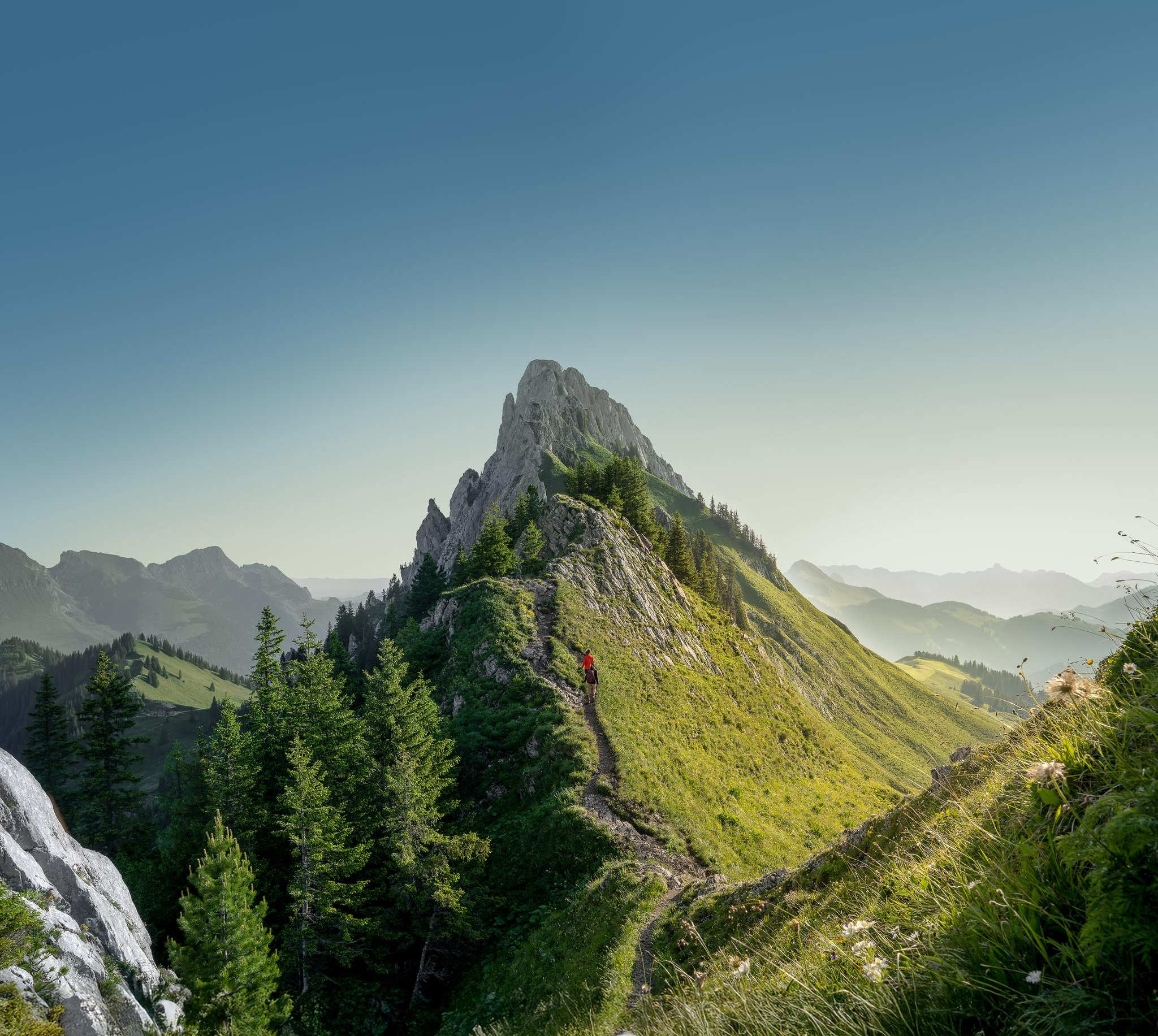
Zeit für mehr WANDERN – unsere 10 Highlights
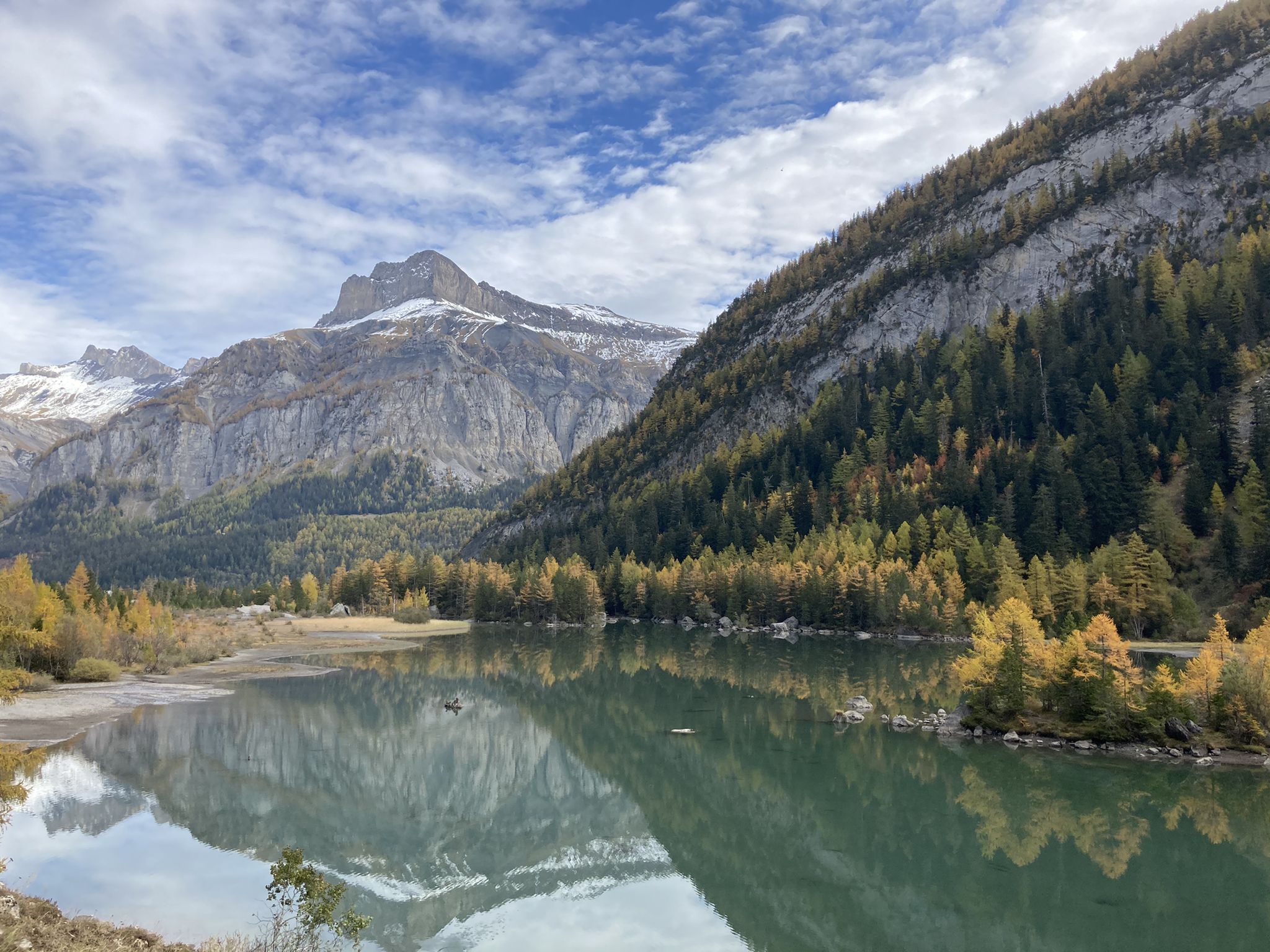
Mighty mountains and idyllic lakes – Sanetsch-Muveran-Weg hiking trail
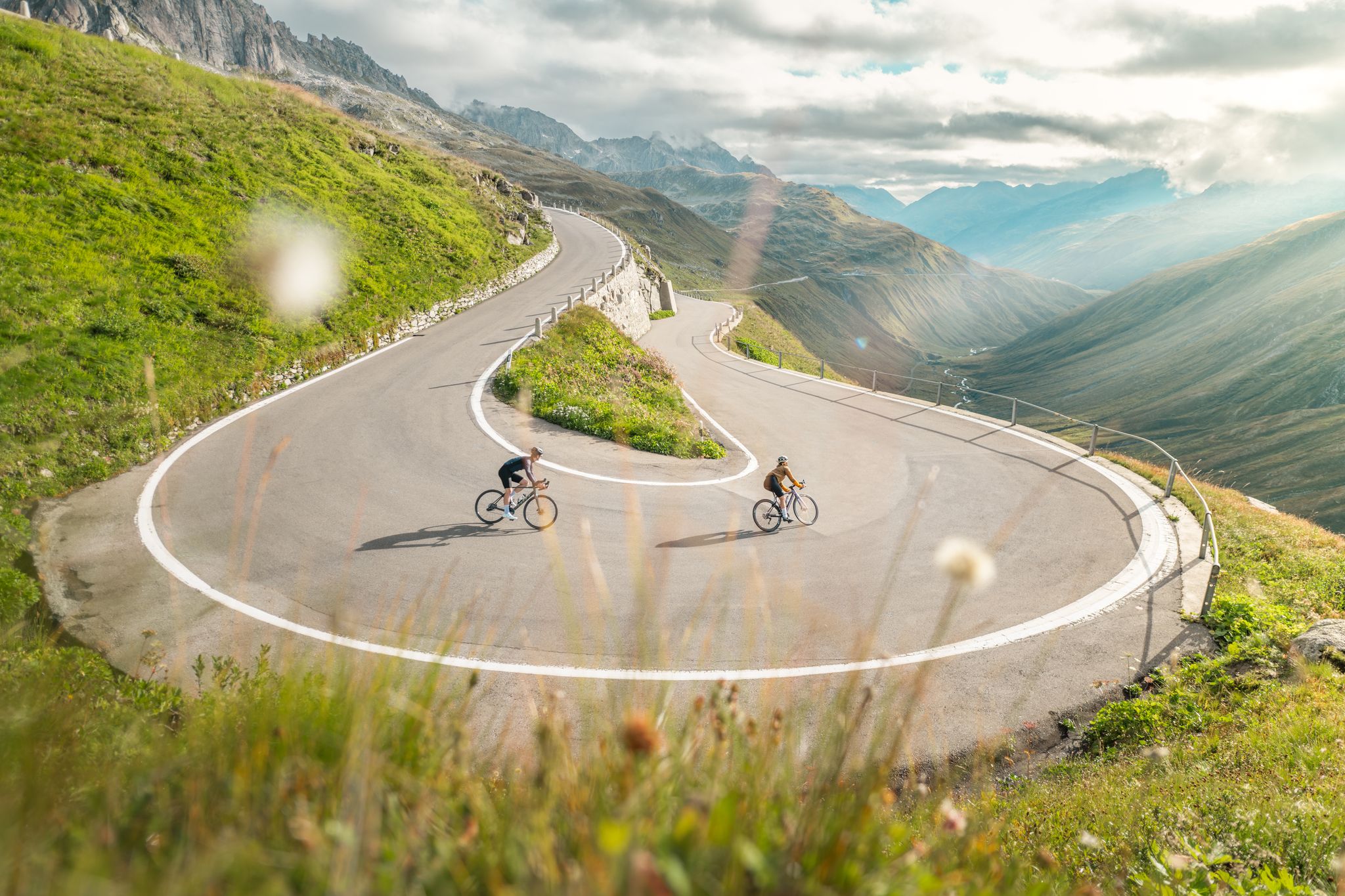
Asphaltglück und Gaumenfreude – Grand Gourmet Rides durch die Schweiz
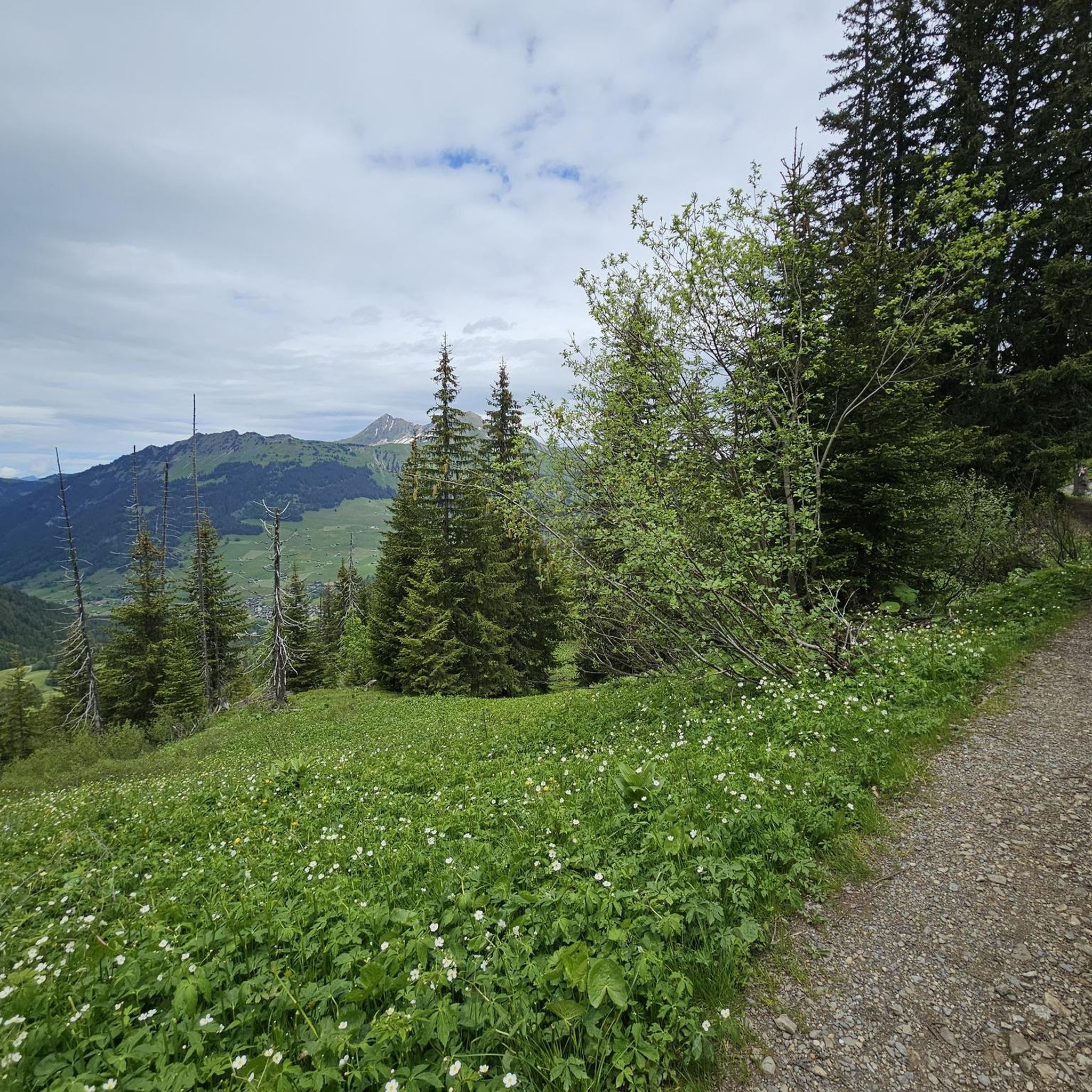
Hiking around Gsteig bei Gstaad
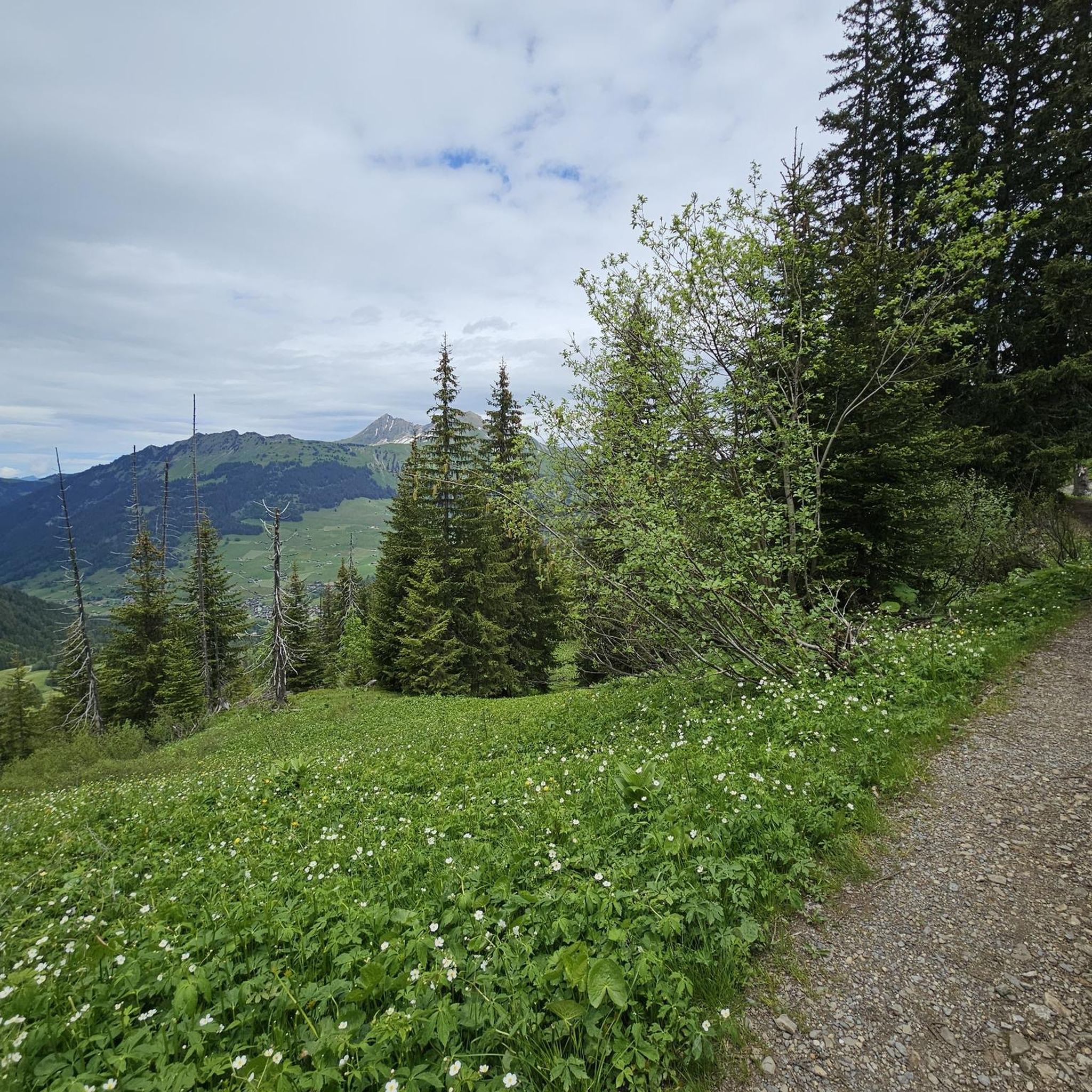
Road Cycling Routes around Gsteig bei Gstaad
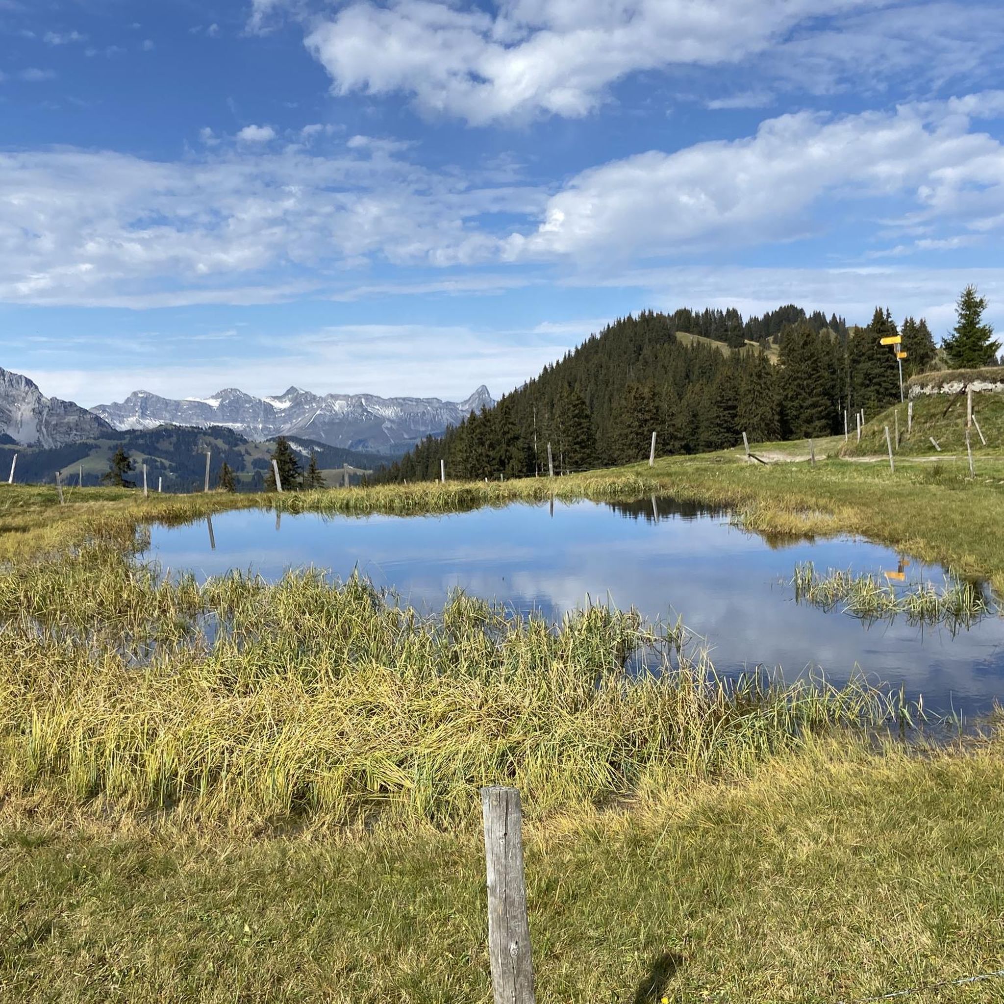
MTB Trails around Gsteig bei Gstaad
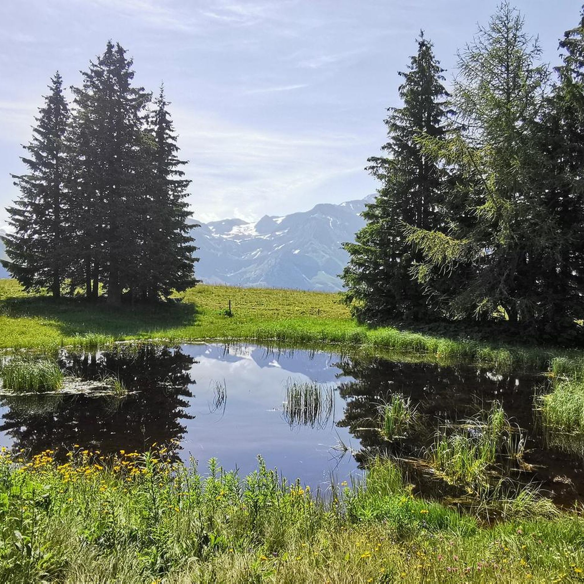
Cycling around Gsteig bei Gstaad
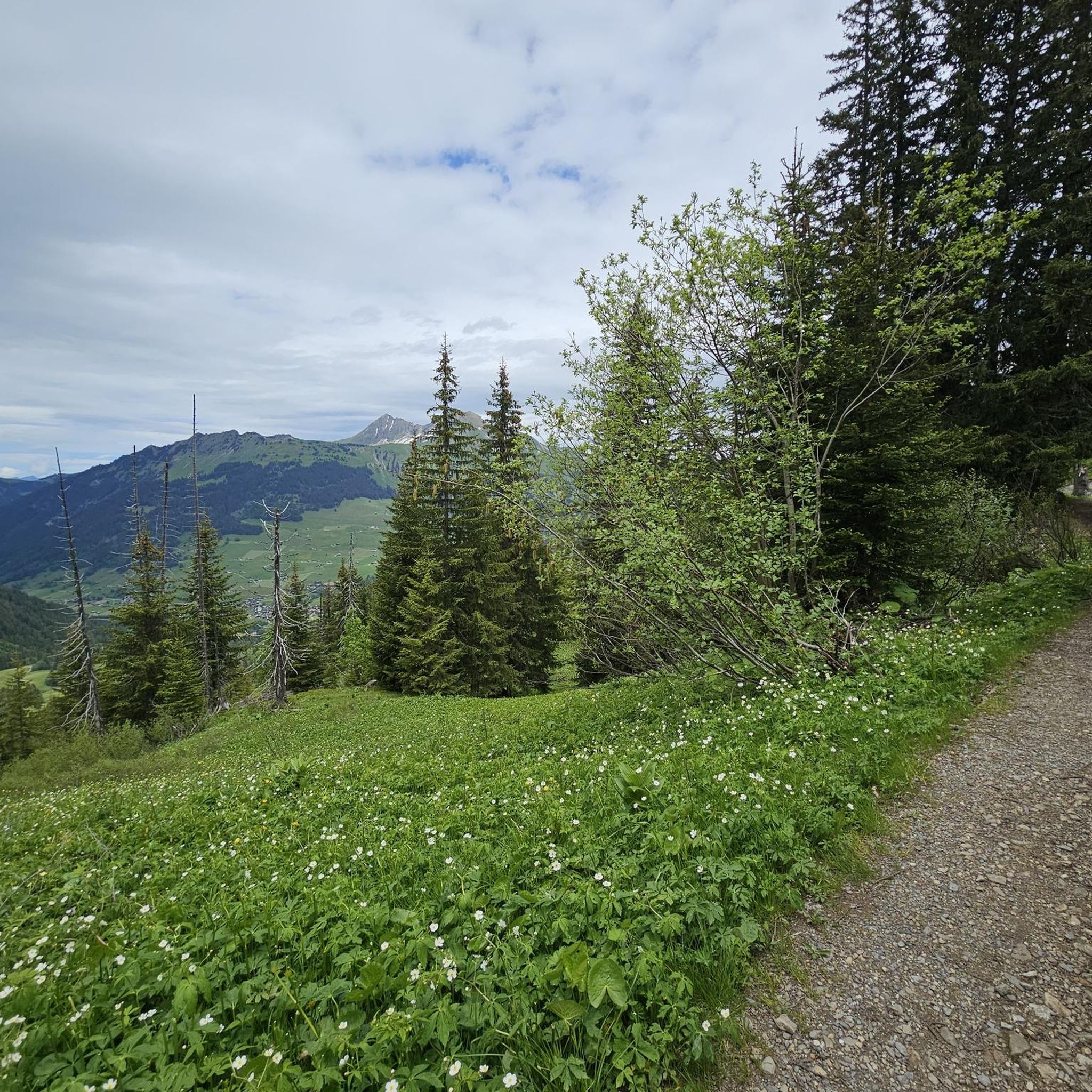
Running Trails around Gsteig bei Gstaad
Mountain Hikes around Gsteig bei Gstaad
Other adventures around Gsteig bei Gstaad


Tips from the Community

A pass through the forest, little car traffic, but steep. The descent requires caution here and there, with bad asphalt, cattle grids, and water gullies.
0
0
Beautiful climb from Gsteig. Mild gradients, hairpin bends, and little traffic (September). At the top is the cable car towards Glacier 3000.
0
0


super mega beautiful here
0
0

In the heart of Gsteig bei Gstaad, this beautiful old wooden house has stood since the 17th century. Today it houses the Hotel Restaurant Bären with nine rooms. Whether you stop here for a meal or an overnight stay, it is definitely worth trying the country cuisine: the food is cooked fresh and seasonally. More info about the Bären: https://www.gstaad.ch/planen-buchen/buchen/unterkuenfte/detail/hotel-restaurant-baeren-t6cperlg.
0
0

In the heart of the historic center of Rougemont, directly opposite the famous Romanesque church, lies the venerable Hôtel de Commune. It is the perfect place to unwind after a tour through the Pays-d’Enhaut. More information: https://hdcr.ch/
2
0

Always accessible, read the board
0
0

Superb pass but be careful when leaving Sannen, the end of the climb is full of slopes at 15-16%
0
1
Frequently Asked Questions
How many gravel bike trails are available around Gsteig bei Gstaad?
There are over 15 gravel bike trails available around Gsteig bei Gstaad, offering a variety of routes through the alpine landscape. The region is particularly known for its challenging options.
What kind of terrain can I expect on gravel bike trails near Gsteig bei Gstaad?
Gravel biking around Gsteig bei Gstaad features an alpine landscape with high mountain passes, deep valleys, and forested slopes. You can expect significant elevation changes, with trails often climbing over 1000 meters. The routes combine gravel roads, unpaved tracks, and some paved sections connecting villages and scenic points.
Are there challenging gravel bike routes for experienced riders in Gsteig bei Gstaad?
Yes, Gsteig bei Gstaad is characterized by challenging gravel bike routes, with 17 out of 18 listed tours rated as difficult. For example, the Lake Chavonnes – Col de Bretaye loop from Les Diablerets includes over 1700 meters of elevation gain, traversing mountain passes and offering expansive views.
Are there any circular gravel bike routes in the Gsteig bei Gstaad area?
Many of the gravel bike routes in the region are designed as loops. A popular option is the Lake Chavonnes – Col de Bretaye loop from Les Bovets, which is a 24.0-mile (38.7 km) trail with substantial climbing through alpine terrain.
When is the best time of year for gravel biking in Gsteig bei Gstaad?
The best time for gravel biking in Gsteig bei Gstaad is typically during the warmer months, from late spring to early autumn (June to September), when mountain passes are clear of snow and trails are dry. Always check local weather and trail conditions before heading out, especially for higher elevation routes.
Are there any waterfalls along the gravel bike trails near Gsteig bei Gstaad?
Yes, the region features several beautiful waterfalls. The Jaun Waterfall – Rougemont loop from Gstaad leads through varied landscapes including waterfalls and forests. You can also explore highlights like the Tungelschuss Waterfall or the Geltenbach Waterfall.
What other attractions can I explore while gravel biking in Gsteig bei Gstaad?
Beyond the trails, you can discover various natural attractions. Highlights include viewpoints like Rellerli Ridge, or natural features such as the Wallbach Gorge. Many routes also pass by scenic lakes, offering opportunities for breaks and stunning views.
What do other gravel bikers say about the trails in Gsteig bei Gstaad?
The gravel bike trails in Gsteig bei Gstaad are highly rated by the komoot community, with an average score of 4.7 stars from 10 reviews. Riders often praise the challenging alpine terrain, expansive views, and the variety of landscapes encountered, from mountain passes to dense forests.
Are there any routes that pass by lakes or other natural features?
Absolutely. Several routes incorporate stunning natural features. For instance, the Lake Retaud – Col du Pillon loop from Les Diablerets offers picturesque views of Lake Retaud, while the Lake Chavonnes – Col de Bretaye loop from Les Bovets passes by Lake Chavonnes.
Are there any easy gravel bike trails for beginners in Gsteig bei Gstaad?
The gravel biking routes around Gsteig bei Gstaad are predominantly challenging, with the majority rated as difficult. There are currently no routes specifically categorized as easy for beginners in this guide, making it more suitable for experienced riders seeking significant climbs and technical sections.
Can I access gravel bike trails in Gsteig bei Gstaad using public transport?
Gstaad and nearby villages like Les Diablerets, which serve as starting points for some routes, are generally well-connected by public transport, including trains and buses. It's advisable to check local timetables for specific connections to your chosen trailhead.
Are there options for parking near the gravel bike trails?
Yes, many trailheads and villages in the Gsteig bei Gstaad region offer designated parking areas. For routes starting from Gstaad or Les Diablerets, you will typically find public parking facilities available, though some may require a fee.
Most popular routes around Gsteig bei Gstaad
Most popular attractions around Gsteig bei Gstaad

Get inspired with the komoot mobile app


Explore more
Browse the best Gravel rides in other regions.
