The best gravel rides around Tiefenbach
4.8
(32)
87
riders
19
rides
Gravel biking around Tiefenbach offers a diverse landscape characterized by rolling hills, dense forests, and scenic river valleys. The region features a network of trails that traverse varied terrain, including open stretches and wooded paths. Riders can expect routes that often incorporate natural features and historical points of interest, providing a mix of physical challenge and visual appeal. The lightly hilly terrain, combined with well-signposted routes, makes it suitable for exploration.
Best gravel bike trails around Tiefenbach
- The most popular…
Last updated: July 2, 2026
4.8
(14)
17
riders
40.1km
02:28
470m
470m
Hard gravel ride. Very good fitness required. You may need to push your bike for some segments of this route.
5.0
(6)
13
riders
44.7km
02:50
480m
480m
Hard gravel ride. Very good fitness required. Mostly paved surfaces. Suitable for all skill levels.

Sign up for free
5.0
(3)
6
riders
Hard gravel ride. Very good fitness required. Mostly paved surfaces. Suitable for all skill levels.
6
riders
Hard gravel ride. Very good fitness required. Mostly paved surfaces. Suitable for all skill levels.
4.8
(6)
12
riders
Moderate gravel ride. Good fitness required. Mostly paved surfaces. Suitable for all skill levels.
Get access to more routes and recommendations from other explorers.
Sign up for free
Already have an account?
Our route recommendations are based on thousands of hikes, rides, and runs completed by other people on komoot.
Start today with a free account
Your next adventure awaits.
Login or Signup

Tips from the Community

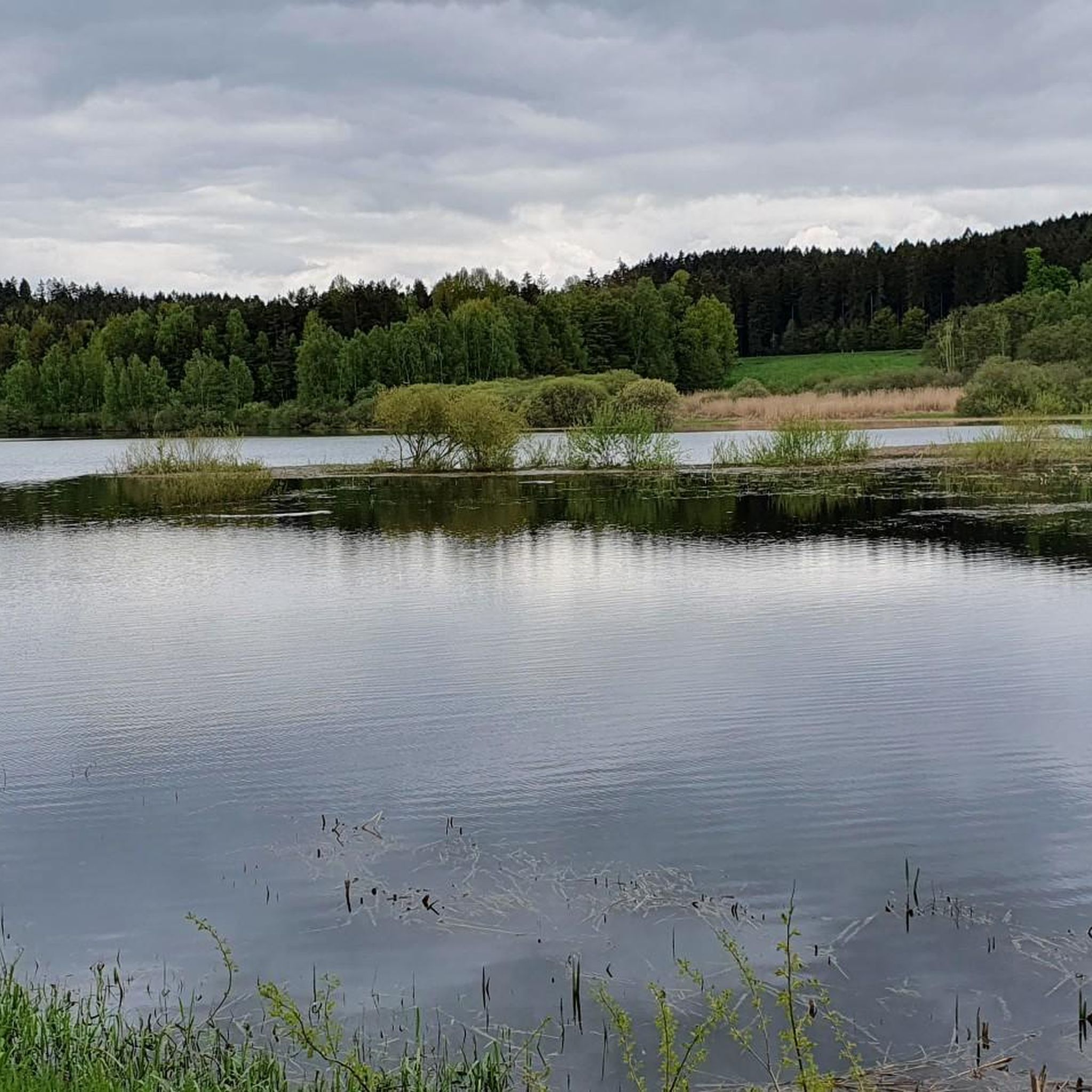
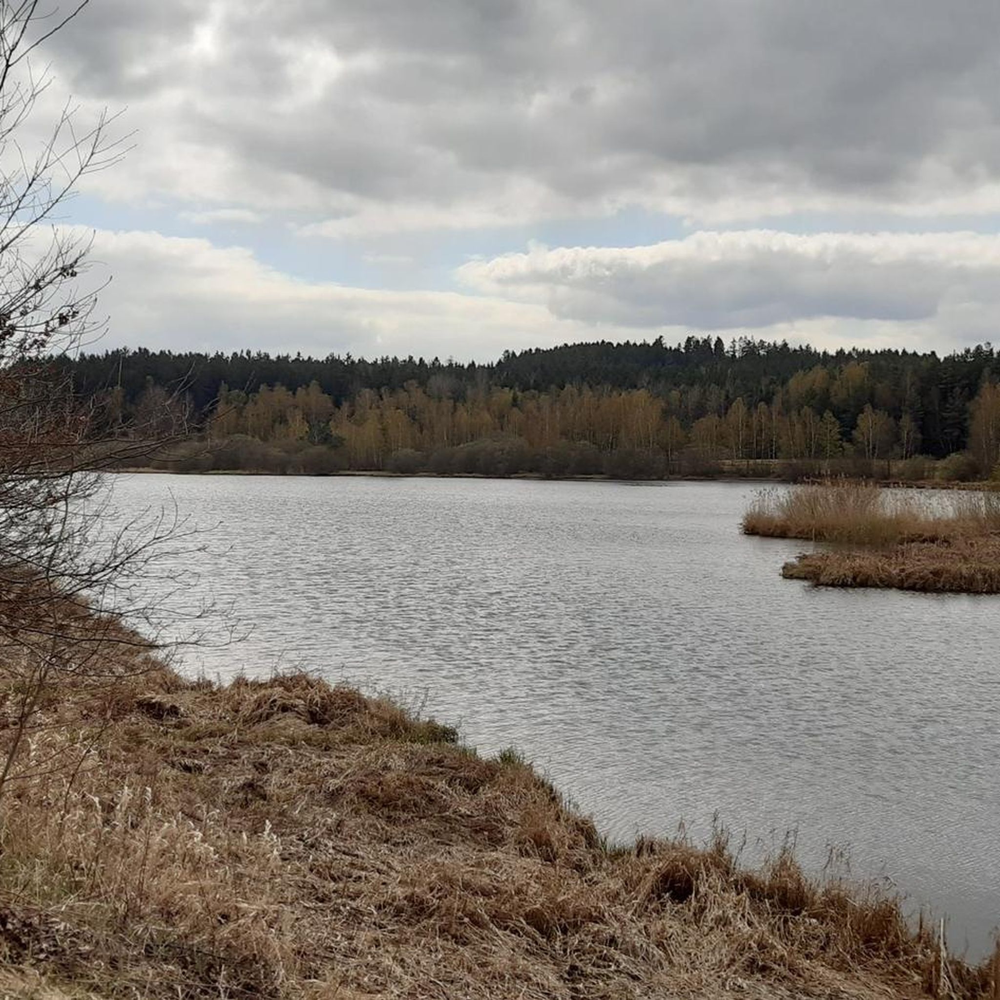
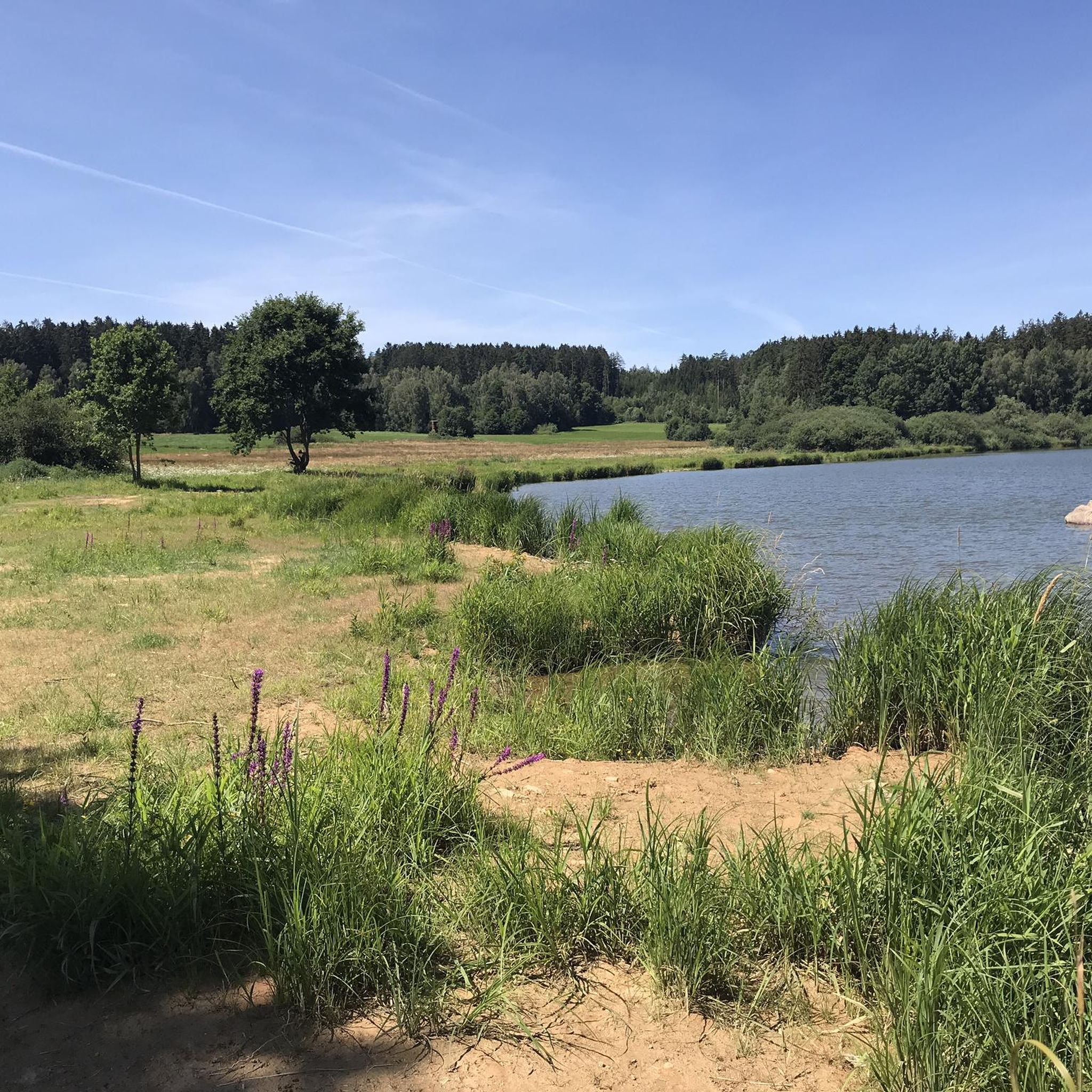
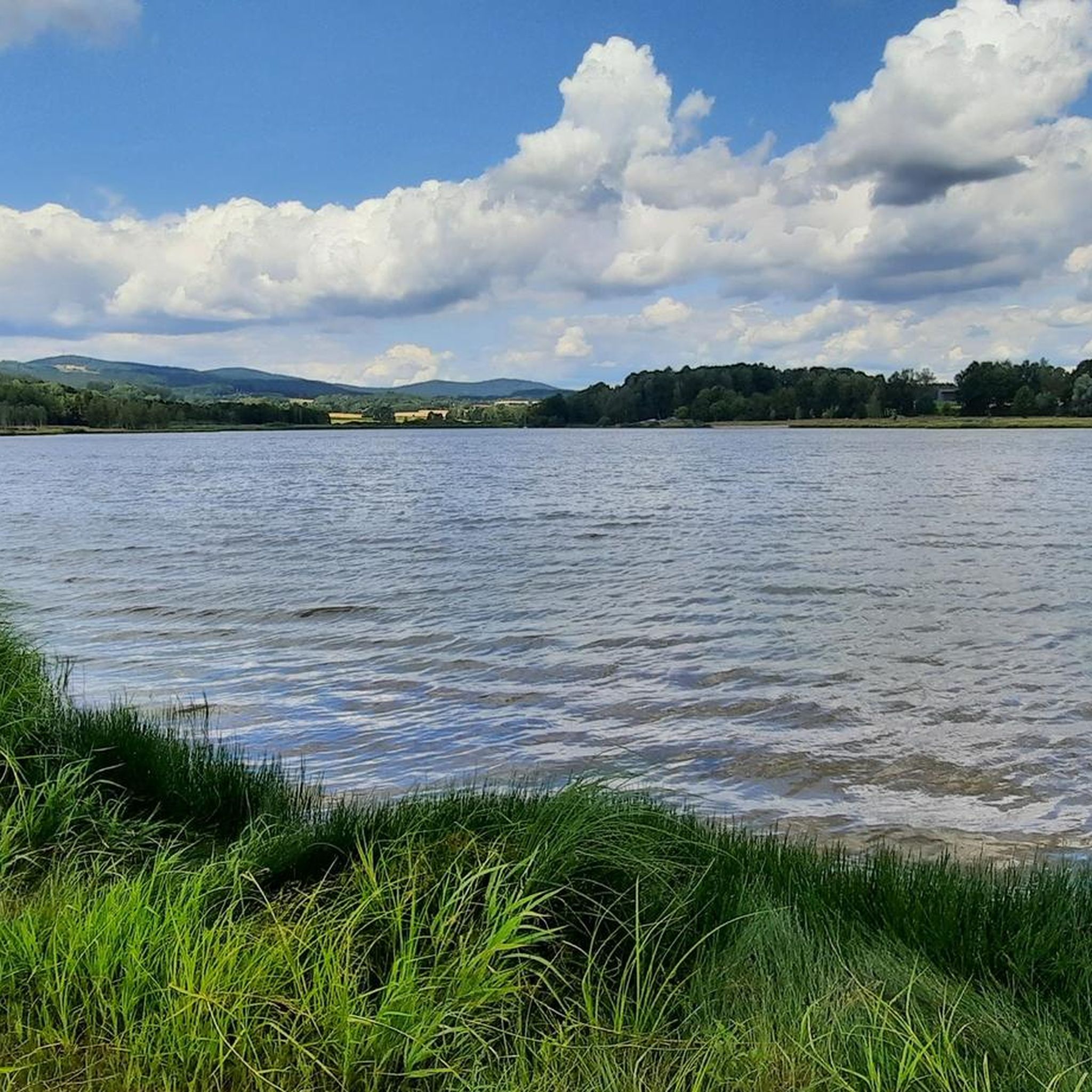
Wonderful area, a great experience again and again,
0
0

Give the little legs a break.,.....
1
0

The village of Anger, located near the Bavarian border, was evacuated and left to decay between 1950 and 1960 due to the establishment of the Iron Curtain. The settlement was strongly characterized by weaving, animal husbandry, and a local glassworks.
13
0
From the Untergrafenried border crossing, historic paths lead directly into the former, abandoned Czech village of Grafenried (Lučina). These are cross-border tours with the character of witnessing history.
13
0
Good things take time, it will be beautiful...........
0
0
Not yet fully restored, but already very presentable
1
0
Frequently Asked Questions
How many gravel bike trails are available around Tiefenbach?
There are over 20 gravel bike trails in the Tiefenbach region, offering a variety of experiences for different skill levels. The komoot community has mapped 24 routes in total.
Are there gravel bike trails suitable for beginners in Tiefenbach?
While many routes in Tiefenbach are rated as moderate to difficult, there are a few easier options available. For instance, the region offers 2 easy gravel bike trails, allowing less experienced riders to enjoy the scenic landscape.
What are some challenging gravel bike routes around Tiefenbach?
For experienced gravel bikers seeking a challenge, Tiefenbach offers 13 difficult routes. A notable option is the Schwarzach River bend near Thurau – Perlsee Dam loop from Niederpremeischl Abzw., which covers 33.3 miles (53.5 km) with significant elevation changes.
Can I find circular gravel bike routes in Tiefenbach?
Yes, many of the gravel bike routes in Tiefenbach are designed as loops, allowing you to start and finish at the same point. An example is the Lehmgrubenweg Border Crossing – Teufelsbrücke and waterwheel on the stream loop from Waldmünchen, a 15.3-mile (24.7 km) circular trail.
What kind of scenery can I expect on gravel bike trails in Tiefenbach?
The gravel bike trails around Tiefenbach traverse a diverse landscape featuring rolling hills, dense forests, and picturesque river valleys. You'll encounter open stretches, wooded paths, and often pass by natural features like lakes and historical points of interest, providing a mix of physical challenge and visual appeal.
Are there any interesting landmarks or viewpoints along the gravel bike routes?
Yes, the region offers several points of interest. You might encounter historical ruins, such as those on the Grafenried Ruins (Lučina) – View of Starý Herštejn loop from Spielberg. For panoramic views, consider visiting highlights like the Böhmerwald Observation Tower or the Stückberg Observation Tower.
What do other gravel bikers enjoy most about gravel biking in Tiefenbach?
The area is highly rated by the komoot community, with an average score of 4.4 stars from over 20 reviews. Reviewers often praise the extensive forests, varied terrain, and the opportunity to explore both natural beauty and historical sites.
Is Tiefenbach suitable for long-distance gravel biking?
Tiefenbach offers several longer routes for those interested in extended rides. The longest route available is the Schwarzach River bend near Thurau – Perlsee Dam loop from Niederpremeischl Abzw., which spans 33.3 miles (53.5 km).
When is the best time of year for gravel biking in Tiefenbach?
The best time for gravel biking in Tiefenbach is generally from spring through autumn, when the weather is mild and the trails are dry. During these seasons, you can fully appreciate the region's natural beauty without the challenges of winter conditions.
Are there options for parking near the gravel bike trails in Tiefenbach?
Many trailheads and starting points for gravel bike routes in Tiefenbach, especially those originating from towns like Waldmünchen or Oberviechtach, typically offer designated parking areas. It's advisable to check specific route details on komoot for precise parking information.
Can I access gravel bike trails in Tiefenbach using public transport?
While specific public transport options can vary, some towns and villages near popular gravel biking areas in Tiefenbach may have bus or train connections. For detailed information on reaching specific trailheads via public transport, it's best to consult local transport schedules.
Are there any bike parks or dedicated singletracks near Tiefenbach for gravel bikes?
While Tiefenbach is known for its gravel trails, there are also nearby areas with dedicated bike parks and singletracks. For example, you can explore highlights like the Schützensteig Trail or the Starý Herštejn Singletrack, which are popular among mountain bikers and can offer additional challenges.
Most popular routes around Tiefenbach
Most popular attractions around Tiefenbach

Get inspired with the komoot mobile app


Explore more
Browse the best Gravel rides in other regions.
