The best gravel rides around Geislingen
4.1
(21)
133
riders
36
rides
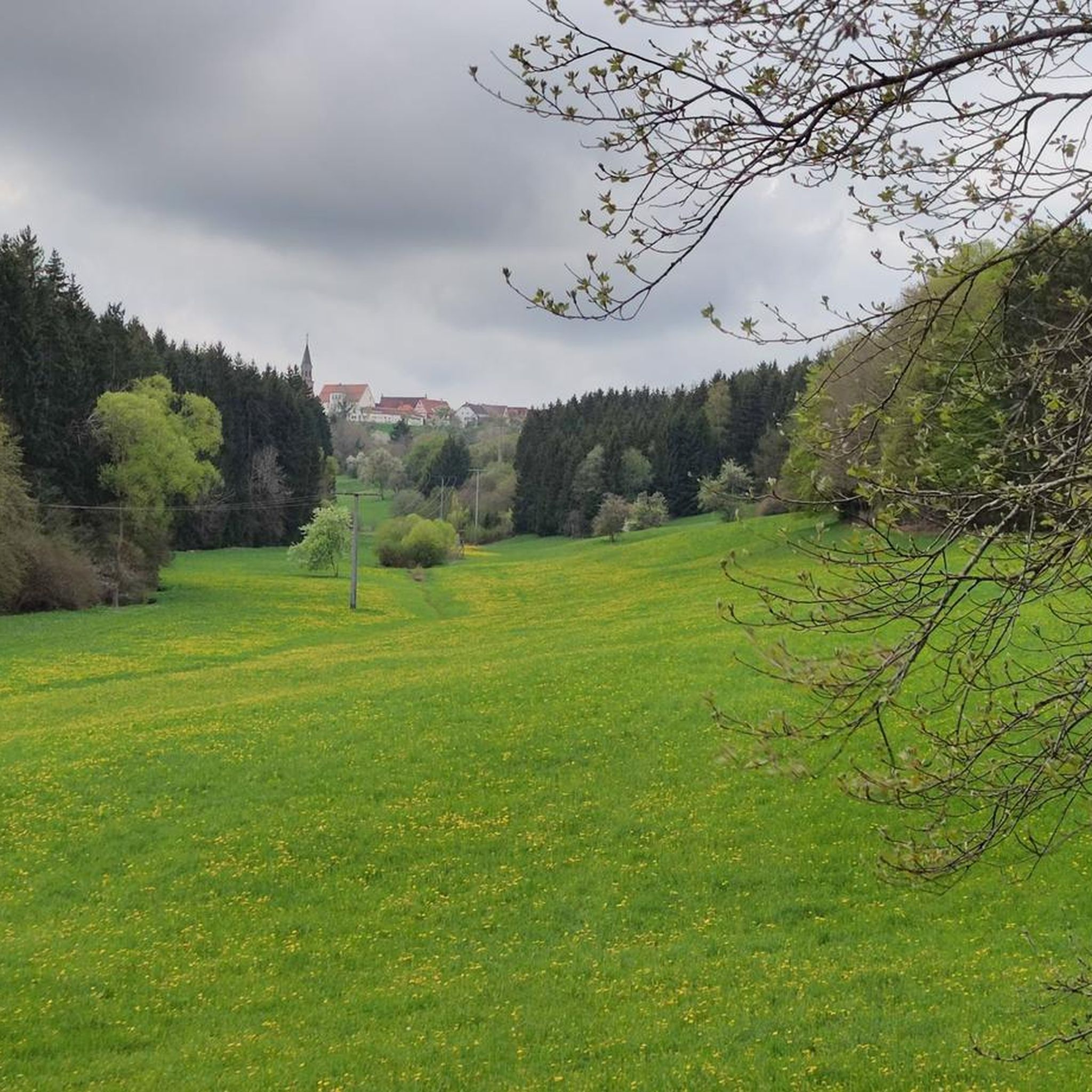
Gravel biking around Geislingen offers diverse terrain within the Swabian Alb, characterized by hilly landscapes, deep valleys, and prominent rock formations. The region features extensive beech forests and juniper heaths, providing varied surfaces for gravel routes. Its unique geographical location encompasses steep Alb slopes, wooded heights, and deeply carved valleys, creating an environment for varied cycling experiences. This topography includes a mix of paved and unpaved sections, forest paths, and mixed-surface cycle routes.
Best gravel bike trails around Geislingen
- The…
Last updated: July 3, 2026
4.5
(2)
8
riders
Hard gravel ride. Very good fitness required. Mostly paved surfaces. Suitable for all skill levels.
3.7
(3)
8
riders
38.4km
02:22
440m
440m
Moderate gravel ride. Good fitness required. Mostly paved surfaces. Suitable for all skill levels.

Sign up for free
3
riders
25.9km
01:52
500m
510m
Hard gravel ride. Very good fitness required. Mostly paved surfaces. Suitable for all skill levels.
7
riders
39.4km
02:26
570m
570m
Hard gravel ride. Very good fitness required. Mostly paved surfaces. Suitable for all skill levels.
4
riders
31.9km
02:07
580m
580m
Hard gravel ride. Very good fitness required. Mostly paved surfaces. Suitable for all skill levels.
Get access to more routes and recommendations from other explorers.
Sign up for free
Already have an account?
Our route recommendations are based on thousands of hikes, rides, and runs completed by other people on komoot.
Start today with a free account
Your next adventure awaits.
Login or Signup
Tips from the Community

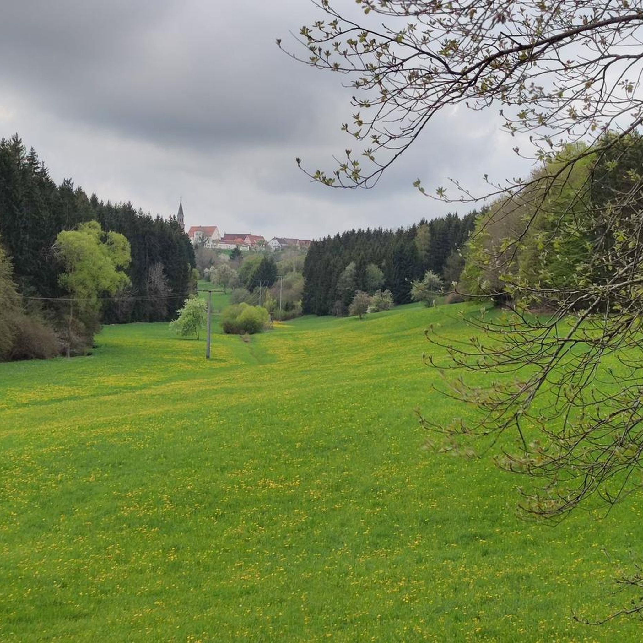
From Bietenhausen you walk through meadows (currently hay harvest), along the Starzel.
7
0
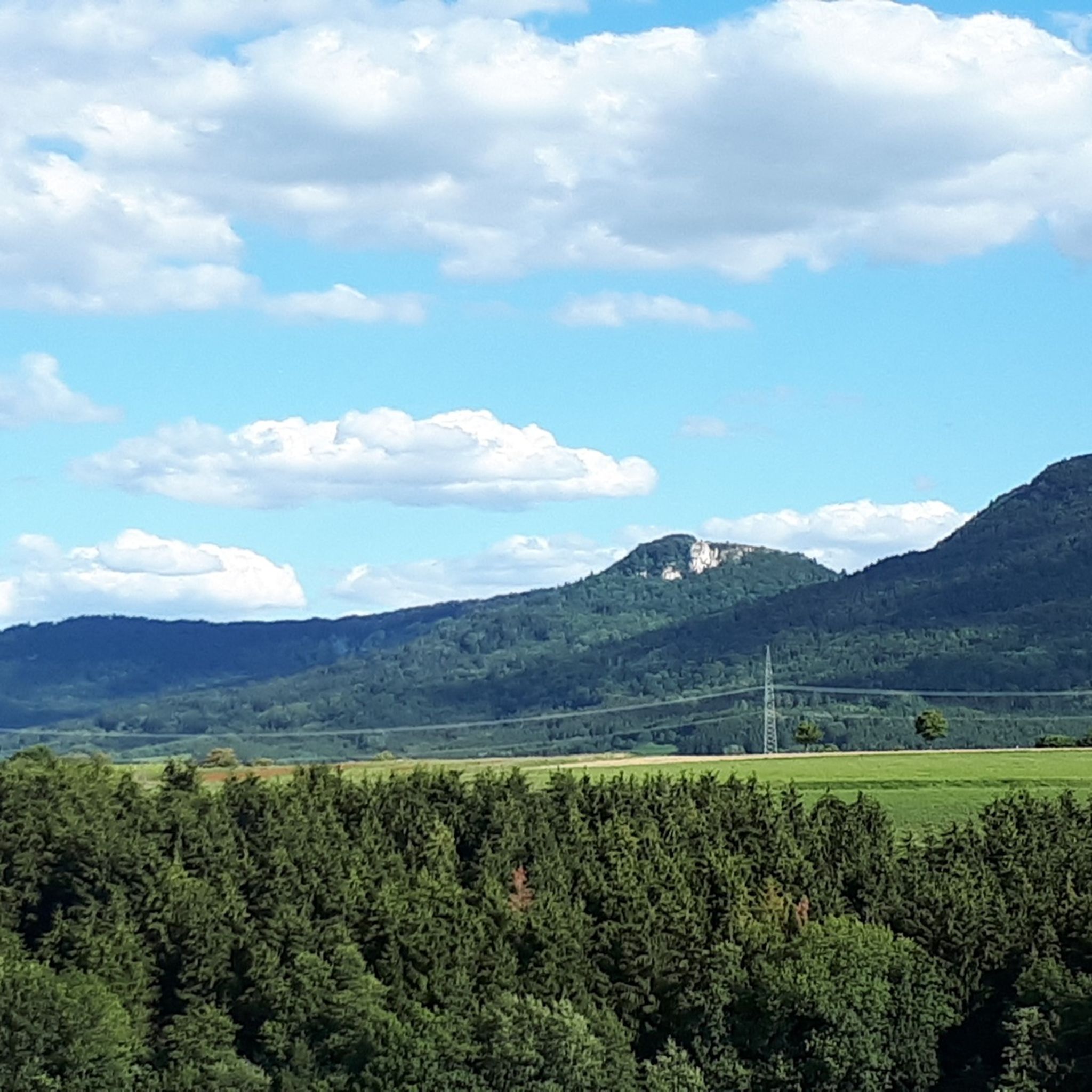
The Kapffelsen (also known as Tiefstein) is located on the steep slope of the Starzel valley between Bietenhausen, Hirrlingen and Frommenhausen in the district of Tübingen. It belongs to the Kapfhalde nature reserve and is one of the most striking geotopes in the valley.
6
0
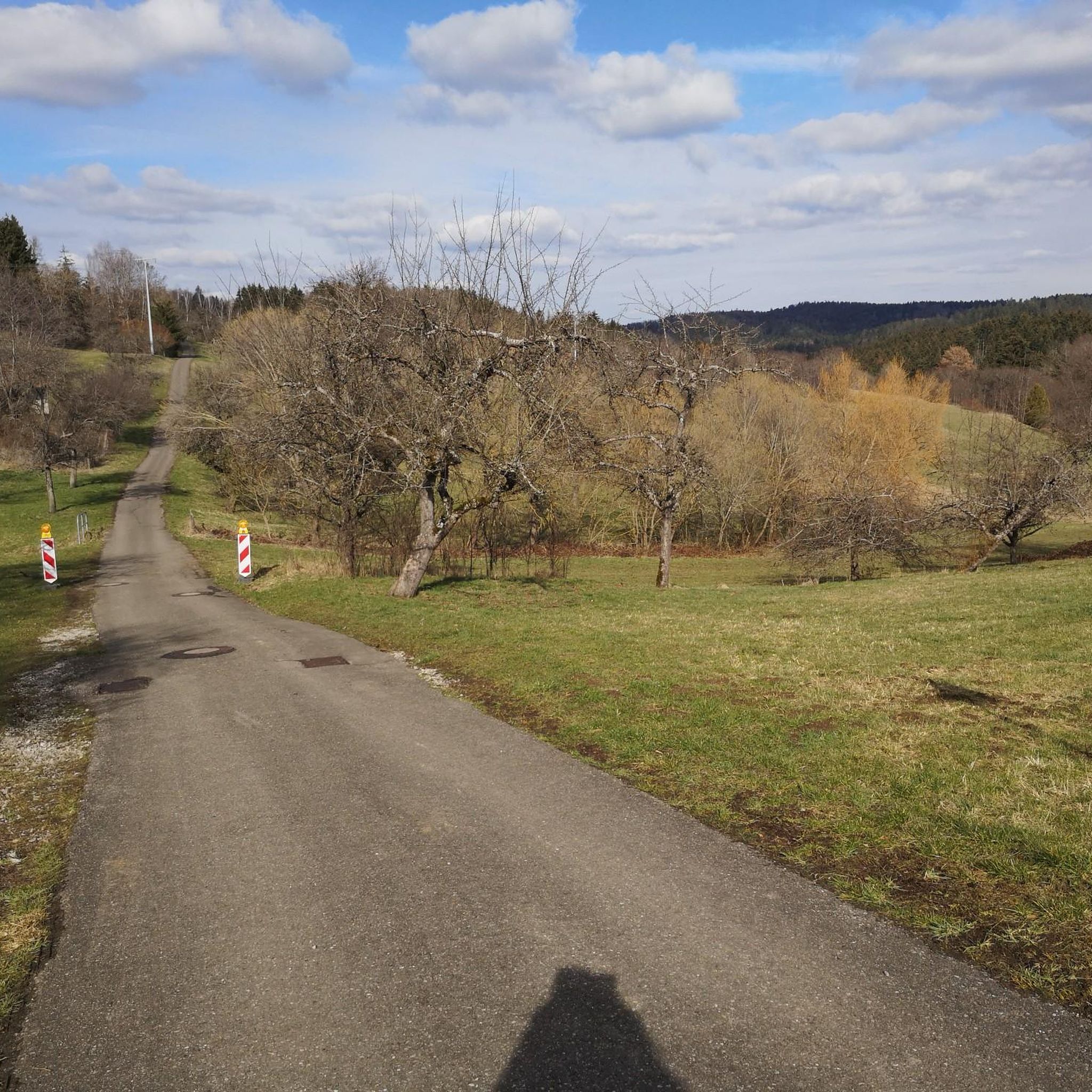
Quiet and relaxed along the Starzel. Apart from two cyclists, we met no one.
6
0

Beautiful area with a great view. Always worth a visit!
1
0

Beautiful view through the clearing into the valley from the panoramic double lounger - Zollernalbkreis
0
0
History of the Parish Church of St. Martin The church, built in the early Gothic style, was constructed in 1885/86 according to the plans of architect Joseph Cades. After completing his training, Cades joined the construction workshop of Ulm Minster, where he was primarily entrusted with the design of the two choir towers. His first church building as an independent architect was the Catholic Parish Church of St. Martin in Dotternhausen. The Dotternhausen St. Martinus Church is an early Gothic pillar basilica, meaning a three-nave, longitudinally oriented church. Its elevated central nave is illuminated by a window zone in the upper part (a so-called clerestory). A triumphal arch separates the slightly elevated choir area. The central nave is separated from the side naves by arcades on pillars. The ratio of the width of the central nave to the width of the side naves is 2:1, which is typical for the construction methods of that time. In 1986, the St. Martinus parish community in Dotternhausen celebrated the 100th anniversary of the consecration of their parish church. The entire population was invited to the festive service and the subsequent community celebration. Considerations for the interior renovation became concrete after the 100-year celebration. After a year of interior renovation, the reopening of our parish church St. Martinus could be celebrated on Sunday, April 10, 1994. The innovations: In the choir, the altar, ambo, baptismal font, stele, sedilia, and the color-coordinated windows. The two side altars, in the right side aisle the crucifixion group with tabernacle, in the left the veneration of the Mother of God. In the front choir area hangs the restored painting of St. Martin of Tours, which still dates from the old baroque church, i.e., from before 1885. It also shows the Resurrection of Christ and should have an effect on the entire church from its place. The modern art on the walls in a church built in the neo-Gothic style is an example of temporal change and development in our church, which constantly needs change and renewal. This gem should be preserved. Source: http://kirche-dotternhausen.de/foerderverein/pfarrkirche.html
1
0
Beautiful view of the Plettenberg with its tower
0
0
The Schlichemtalsperre (also Schömberger Stausee, usually just called Stausee locally) east of Schömberg in Baden-Württemberg dams the Schlichem, a tributary of the Neckar coming from the Swabian Jura. The 90.6-hectare Schömberger Stausee mit Palmbühl landscape protection area surrounds the Schlichemtalsperre. The approximately 1.35 km long and initially narrow reservoir, which widens to about 175 m towards the end, with an area of 10.4 hectares at 643.8 m above sea level, begins at the hamlet of Untere Säge and extends to the old town center of Schömberg. It has a catchment area of approximately 33.5 km², to which the Schlichem, which is already over 11 km long at the inflow, contributes almost 90%. The Hölzlegraben from the forest to the right of the lake and the Scheubühlgraben and Räßentälebach from the left flow into it. From the Vorsee forebay near the Untere Säge, a fish ladder leads to the reservoir. There is also the only bridge over the lake that can be walked and driven on. The Schlichem Viaduct can only be used by the railway. The Schlichemtalsperre was built between 1940 and 1944. The Portlandzementwerk Rudolf Rohrbach KG (today Holcim (Süddeutschland) GmbH) based in neighboring Dotternhausen, which was the client for the dam, initially used it for cooling water and electricity generation. An outdoor swimming pool built in 1935 was flooded. After the Second World War, the facility was taken over by the state of Württemberg-Hohenzollern in 1948. The reservoir was renovated from 1975 to 1983. The dam is an earth dam, and the hydropower plant within it has a capacity of 60 kW. There is a forebay, the Vorsee, which was built from 1975 to 1977. Source: https://de.wikipedia.org/wiki/Schlichemtalsperre
3
0
Frequently Asked Questions
What kind of terrain can I expect on gravel bike trails around Geislingen?
The Geislingen region, nestled in the Swabian Alb, offers a diverse mix of terrain ideal for gravel biking. You'll encounter hilly landscapes, deep valleys like the Fils and Eybach, and prominent rock formations. Routes often feature extensive beech forests, juniper heaths, and a combination of paved and unpaved sections, forest paths, and mixed-surface cycle routes. The Swabian Alb Escarpment provides challenging ascents and descents.
How many gravel bike routes are available in the Geislingen area, and what are their difficulty levels?
There are over 60 gravel bike routes around Geislingen. The network caters to various skill levels, with 3 easy routes, 36 moderate routes, and 30 difficult routes, ensuring options for every rider.
Are there any circular gravel bike routes around Geislingen?
Yes, many of the gravel bike routes in the area are circular. For example, you could try the Lochen Pass – Schlichem Dam loop from Geislingen, which is a challenging 42.4 km ride featuring varied terrain, a pass, and a dam. Another option is the Brittheim Water Tower – Loreto Hiking Car Park loop from Haigerloch, a difficult 38.6 km path offering expansive views.
What natural features or landmarks can I see along the gravel bike trails near Geislingen?
The region is rich in natural beauty and historical sites. You can explore impressive rock formations like Anwandfels and Himmelsfelsen, or enjoy the serene Fils River and Mühlbach spring. Historical sites such as the Helfenstein Castle Ruins offer scenic views. For specific highlights, consider visiting the Lochen Pass, the dramatic Schlichem Gorge, or the Lochenstein summit cross for panoramic vistas.
Are there any family-friendly gravel bike routes in Geislingen?
While many routes in the Swabian Alb can be challenging, there are easier options suitable for families. Look for routes categorized as 'easy' or 'moderate' within the guide. These often follow well-maintained paths in valleys like the Fils, which are generally less strenuous and more suitable for a family outing.
Can I bring my dog on the gravel bike trails around Geislingen?
Generally, dogs are welcome on most trails in the Geislingen area, especially on forest paths and unpaved sections. However, it's always advisable to keep your dog on a leash, particularly in nature reserves or areas with wildlife, and to be mindful of other trail users. Ensure your dog is fit enough for the distance and terrain.
What is the best time of year for gravel biking in Geislingen?
The best time for gravel biking in Geislingen is typically from spring to autumn. During these seasons, the weather is generally mild, and the trails are in good condition. Spring offers blooming landscapes, while autumn provides stunning fall foliage. Summer is also great, but be prepared for warmer temperatures and potential thunderstorms. Winter can be challenging due to snow and ice, especially on higher elevations and shaded forest paths.
Are there routes with good viewpoints in the Geislingen area?
Absolutely. The Swabian Alb Escarpment and various rock formations provide numerous opportunities for stunning views. Lookout towers like Himmelsgarten and Eybtalblick offer expansive vistas. You can also find routes like the View of the Swabian Jura – View of the Swabian Jura loop from Balingen, which specifically highlights scenic outlooks over the Jura landscape.
Where can I find parking for gravel biking routes in Geislingen?
Parking is generally available at trailheads and in the vicinity of popular starting points for routes. Many towns and villages in the region, including Geislingen itself, offer public parking facilities. It's often helpful to check the specific route details on komoot, as users frequently share information about convenient parking spots near the start of a tour.
Is it possible to access gravel bike trails in Geislingen using public transport?
Yes, Geislingen is connected by public transport, making it possible to reach some starting points without a car. The Fils valley, for instance, has well-maintained cycle paths that can often be accessed from train stations. While direct access to every trailhead might not be possible, you can often combine a short ride from a public transport stop to reach your desired gravel route.
What do other gravel bikers say about the routes in Geislingen?
The gravel biking routes around Geislingen are highly regarded by the komoot community, with an average rating of 4.4 stars from over 10 reviews. Riders often praise the varied terrain, the mix of challenging climbs and flowing descents, and the beautiful natural scenery of the Swabian Alb, including its forests and rock formations.
Are there any longer gravel bike routes for experienced riders?
For experienced riders seeking longer and more challenging routes, the Geislingen area offers several options. The region's difficult-rated tours, such as the View of the Swabian Jura – View of the Swabian Jura loop from Gnagen, which covers 34.8 km with significant elevation gain, provide ample opportunity for extended rides across varied and demanding terrain.
Most popular routes around Geislingen
Most popular attractions around Geislingen

Get inspired with the komoot mobile app


Explore more
Browse the best Gravel rides in other regions.
