The best gravel rides around Arrach
4.8
(16)
144
riders
21
rides
Gravel biking around Arrach features a landscape characterized by dense forests, rolling hills, and numerous lakes. The region, situated in the Bavarian Forest, offers varied terrain suitable for gravel cyclists, from lakeside paths to routes with significant elevation gain. Many routes traverse natural park areas, providing a mix of forest tracks and open sections. The network of gravel bike trails in Arrach often includes views of prominent local features like the Großer Arber mountain and various reservoirs.
Best gravel bike…
Last updated: July 2, 2026
5.0
(1)
21
riders
59.9km
04:15
1,390m
1,390m
Hard gravel ride. Very good fitness required. Mostly paved surfaces. Suitable for all skill levels.
4.5
(4)
30
riders
34.2km
02:00
300m
300m
Moderate gravel ride. Good fitness required. Mostly paved surfaces. Suitable for all skill levels.

Sign up for free
7
riders
57.1km
04:06
1,300m
1,300m
Hard gravel ride. Very good fitness required. Mostly paved surfaces. Suitable for all skill levels.
5
riders
Hard gravel ride. Very good fitness required. Mostly paved surfaces. Suitable for all skill levels.
5.0
(1)
15
riders
45.3km
03:21
1,130m
1,130m
Hard gravel ride. Very good fitness required. Mostly paved surfaces. Suitable for all skill levels.
Get access to more routes and recommendations from other explorers.
Sign up for free
Already have an account?
Our route recommendations are based on thousands of hikes, rides, and runs completed by other people on komoot.
Start today with a free account
Your next adventure awaits.
Login or Signup
Popular around Arrach

The Goldsteig – 38 stages between Upper Palatinate and Passau

Goldsteig — The best routes for long distance hiking in Eastern Bavaria
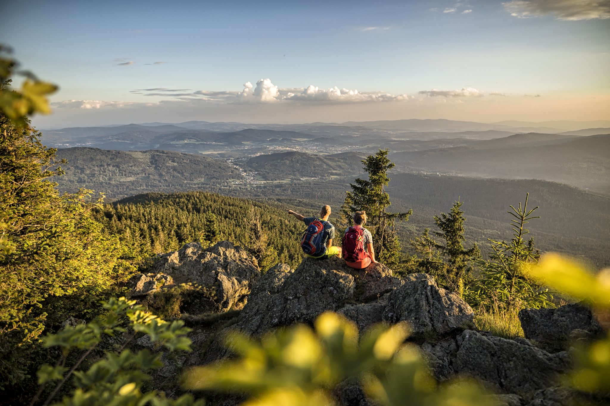
Hiking tips for the Bavarian Forest
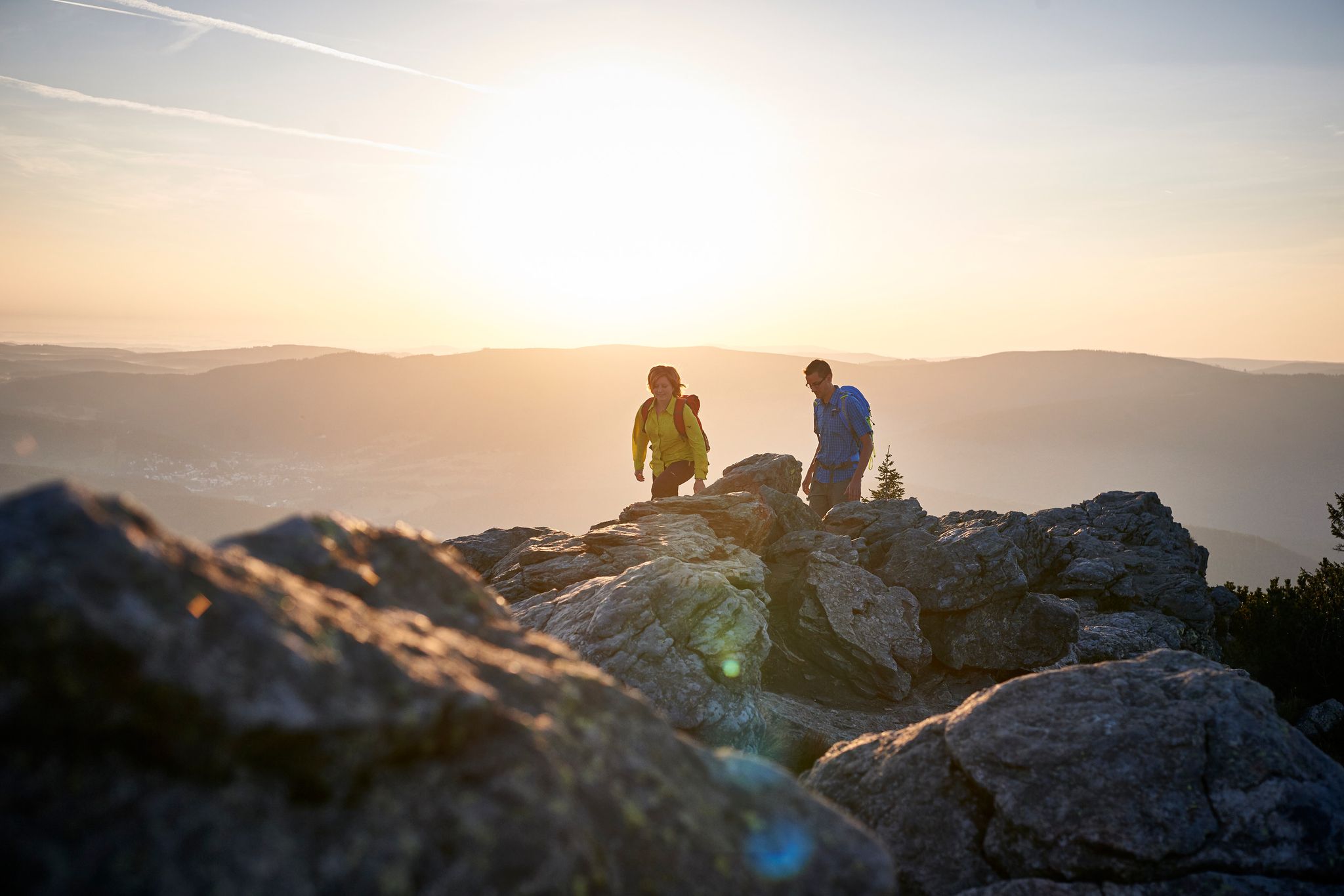
Varied day Tours on the Großer Arber
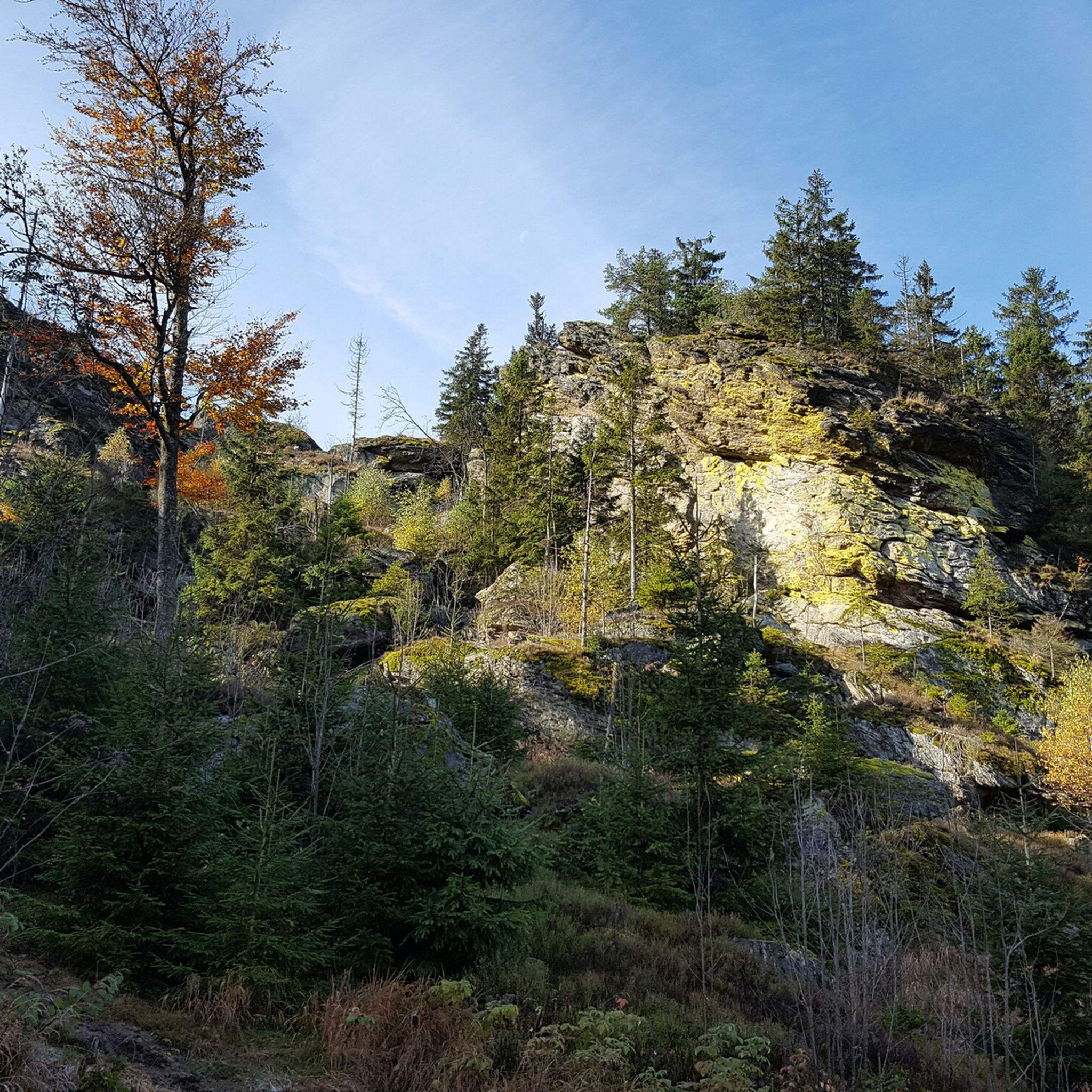
Hiking around Arrach
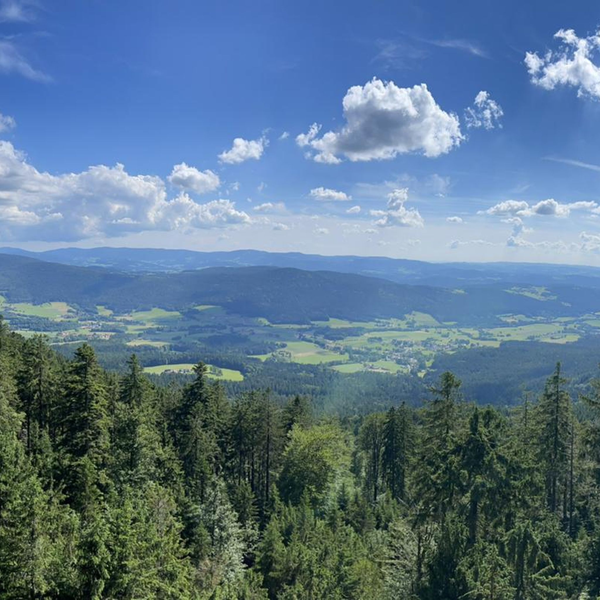
Cycling around Arrach
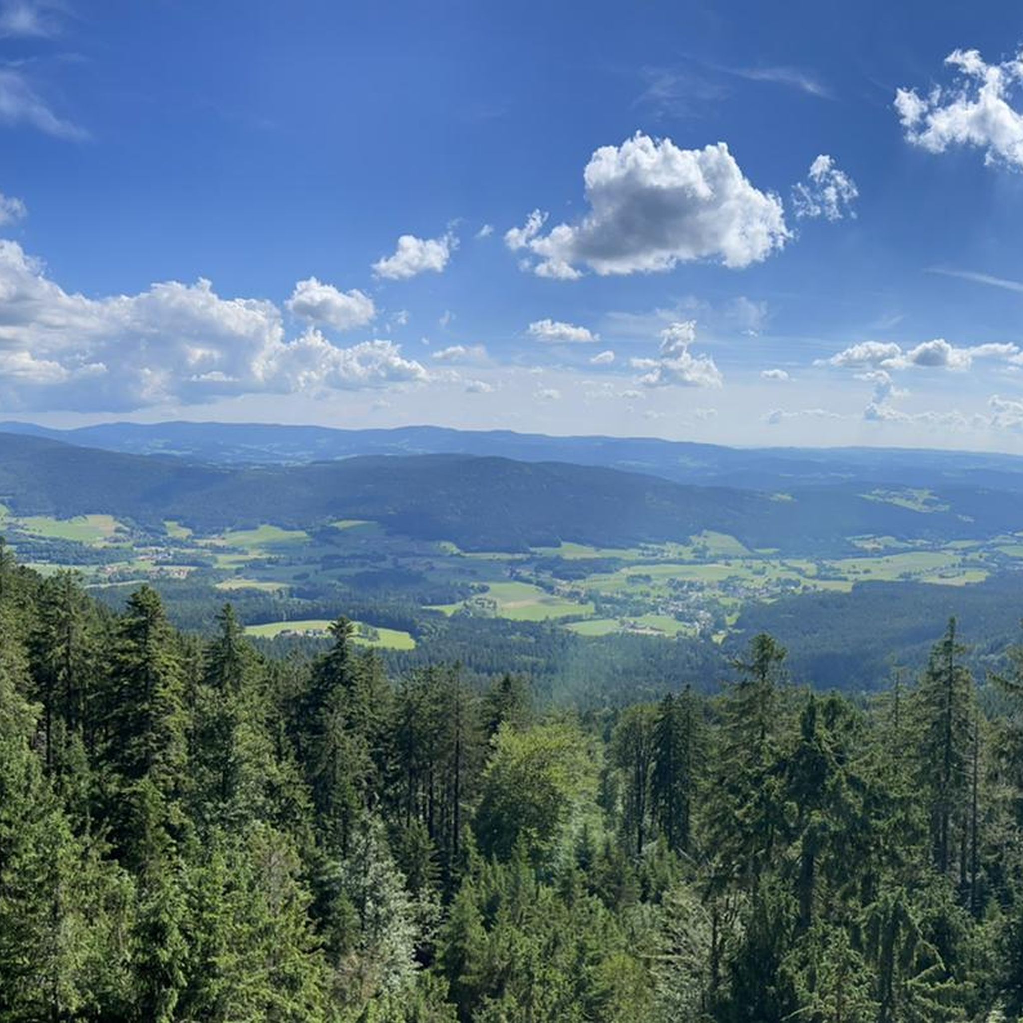
MTB Trails around Arrach
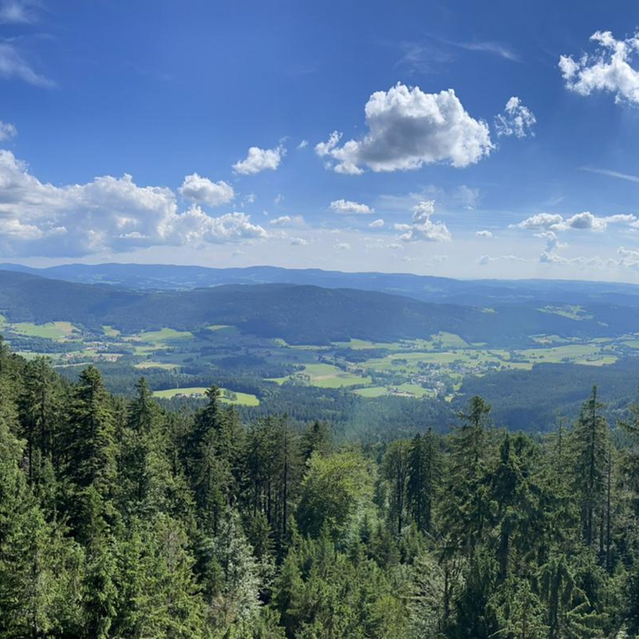
Road Cycling Routes around Arrach
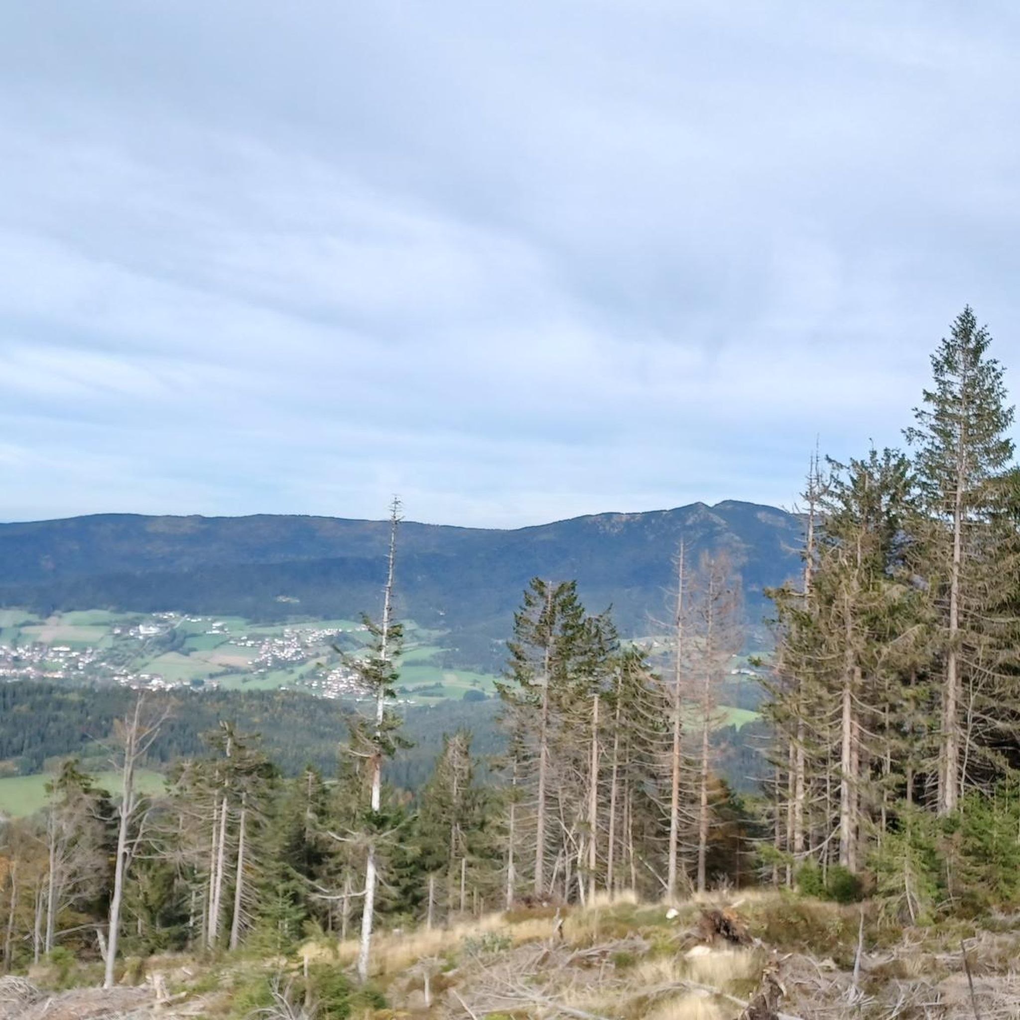
Running Trails around Arrach

Mountain Hikes around Arrach
Other adventures around Arrach


Tips from the Community

Definitely a must-see in this area.
0
0

Very nice place for a break, great view.
1
0

Quiet place with several running routes passing by.
3
0

Nice little skywalk with great views
1
0

Located on the Zellertal Valley Cycle Path. The beautifully landscaped park is a must-visit.
0
0

Frequently Asked Questions
How many gravel bike trails are available around Arrach?
There are over 25 gravel bike trails in the Arrach region, offering a diverse range of experiences. The majority, about 24 routes, are considered difficult, while 5 are moderate, catering to various skill levels.
Are there any challenging gravel bike trails in Arrach for experienced riders?
Yes, Arrach offers several challenging routes with significant elevation gain. For instance, the Geodetic Observatory Wettzell – Geodetic Observatory Wettzell loop from Hohenwarth is a difficult 44.2 km trail with nearly 1000 meters of ascent, providing a demanding ride through the region's hilly terrain.
Can I find any scenic gravel routes with good views in Arrach?
Absolutely. The region is known for its scenic beauty. Many routes offer views of prominent local features like the Großer Arber mountain and various reservoirs. The Černé Jezero (Black Lake) – View of Großer Arber loop from Lam is a prime example, providing extensive views throughout its 59.8 km length.
Are there any loop gravel bike trails around Arrach?
Yes, many of the gravel bike trails in Arrach are designed as loops, allowing you to start and end at the same point. A popular option is the Lake Blaibach – Lake Blaibach loop from Grafenwiesen, which offers a moderate 34.1 km ride around the lake.
What kind of natural attractions can I see along the gravel bike trails in Arrach?
The gravel bike trails in Arrach often pass by significant natural landmarks. You can encounter beautiful lakes such as Little Arber Lake and Lake Blaibach. Additionally, some routes offer views of mountain summits like Großer Arber Summit and Great Osser, and even the Hochfall Waterfall.
Are there any gravel bike trails that pass by lakes or water bodies?
Yes, the Arrach region is characterized by numerous lakes and reservoirs. The Lake Blaibach – Lake Blaibach loop from Grafenwiesen directly circles Lake Blaibach, offering scenic lakeside riding. Another option is the Mountain hut Schareben – Little Arber Lake loop from Hohenwarth Campingplatz, which takes you past Little Arber Lake.
What do other gravel bikers enjoy the most about gravel biking in Arrach?
The Arrach region is highly rated by the komoot community, with an average score of 4.4 stars from over 20 reviews. Riders often praise the varied terrain, which includes dense forests, rolling hills, and scenic lakeside paths, as well as the challenging climbs and rewarding views of the Bavarian Forest.
Are there any gravel routes that follow river paths or valleys?
Yes, some routes incorporate river paths. The Lake Blaibach – Regental Cycle Path loop from Arrach is a 50.7 km route that includes sections along the Regental Cycle Path, offering a different type of terrain and scenery compared to the higher elevation forest tracks.
What is the typical terrain like on gravel bike trails in Arrach?
The terrain in Arrach is varied, featuring a mix of dense forest tracks, open sections, and lakeside paths. You can expect rolling hills and routes with significant elevation gain, characteristic of the Bavarian Forest. The surfaces are generally suitable for gravel bikes, ranging from compacted gravel to forest roads.
Are there any specific natural monuments to look out for while gravel biking?
Beyond the summits and lakes, the region also features unique natural monuments. Keep an eye out for formations like the Rauchröhren rock formation, which can be found in the broader area and adds to the natural beauty of the landscape.
What is the best season for gravel biking in Arrach?
While specific conditions vary, the region's dense forests and varied terrain make it enjoyable across multiple seasons. Spring and autumn offer pleasant temperatures and vibrant scenery, while summer provides longer daylight hours. Winter conditions can be challenging due to snow and ice, especially on higher elevation routes.
Are there any routes that pass by mountain huts or places to stop for refreshments?
Yes, some routes are designed to pass by mountain huts, which can be great spots for a break. For example, the Mountain hut Schareben – Little Arber Lake loop from Hohenwarth Campingplatz is named after a mountain hut, suggesting opportunities for refreshments along the way.
Most popular attractions around Arrach

Get inspired with the komoot mobile app


Explore more
Browse the best Gravel rides in other regions.
