The best gravel rides in Friuli Venezia Giulia
4.4
(2044)
14,965
riders
1,191
rides
Gravel biking in Friuli Venezia Giulia offers diverse terrain, from the alpine passes of the Julian and Carnic Alps to rolling vineyard-covered hills and expansive riverbeds. The region features a varied landscape including the Karst Plateau, coastal paths along lagoons, and significant rivers like the Tagliamento. These physical features provide a range of experiences for gravel bikers, from challenging mountain routes to more gentle rides through plains and along waterways.
Best gravel bike trails in Friuli Venezia Giulia
- The most…
Last updated: August 26, 2026
4.9
(71)
516
riders
36.9km
03:46
760m
760m
Hard gravel ride. Very good fitness required. Mostly paved surfaces. Suitable for all skill levels.
4.8
(4)
36
riders
56.4km
05:55
1,830m
1,830m
Hard gravel ride. Very good fitness required. You may need to push your bike for some segments of this route.

Sign up for free
4.2
(40)
308
riders
Moderate gravel ride. Good fitness required. Mostly paved surfaces. Suitable for all skill levels.
4.6
(39)
307
riders
Moderate gravel ride. Good fitness required. Mostly paved surfaces. Suitable for all skill levels.
5.0
(7)
140
riders
88.9km
06:53
2,160m
2,160m
Hard gravel ride. Very good fitness required. Mostly paved surfaces. Suitable for all skill levels.
4.6
(53)
303
riders
Moderate gravel ride. Good fitness required. Mostly paved surfaces. Suitable for all skill levels.
4.8
(11)
77
riders
32.5km
02:20
670m
670m
Hard gravel ride. Very good fitness required. Mostly paved surfaces. Suitable for all skill levels.
5.0
(6)
124
riders
Hard gravel ride. Very good fitness required. Mostly paved surfaces. Suitable for all skill levels.
5.0
(3)
78
riders
Hard gravel ride. Very good fitness required. You may need to push your bike for some segments of this route.
4.7
(15)
152
riders
47.1km
03:53
1,690m
1,690m
Hard gravel ride. Very good fitness required. Mostly paved surfaces. Suitable for all skill levels.
Get access to more routes and recommendations from other explorers.
Sign up for free
Already have an account?
Our route recommendations are based on thousands of hikes, rides, and runs completed by other people on komoot.
Start today with a free account
Your next adventure awaits.
Login or Signup
Popular around Friuli Venezia Giulia

Gravel biking in Pordenone
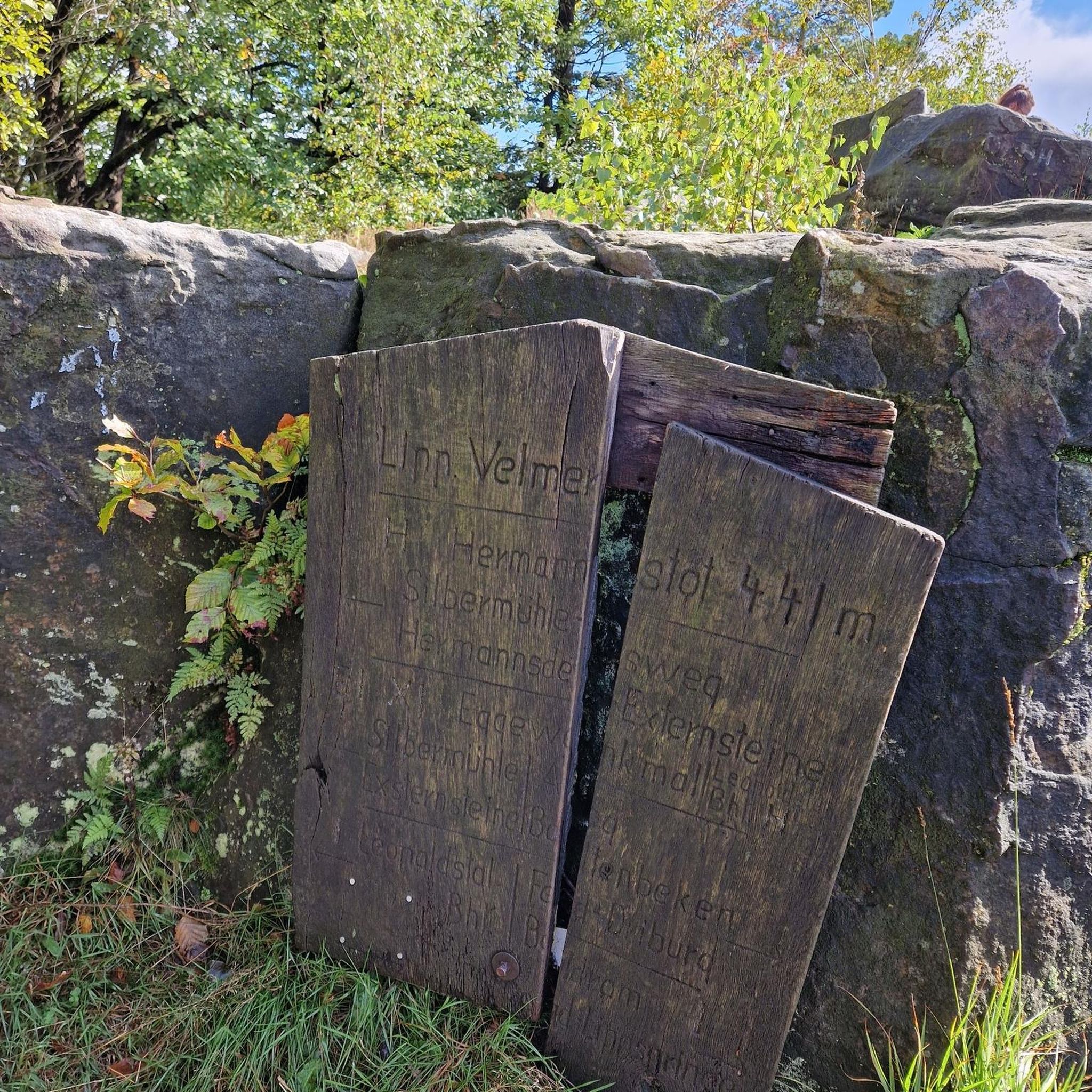
Gravel biking in Udine

Gravel biking in Trieste
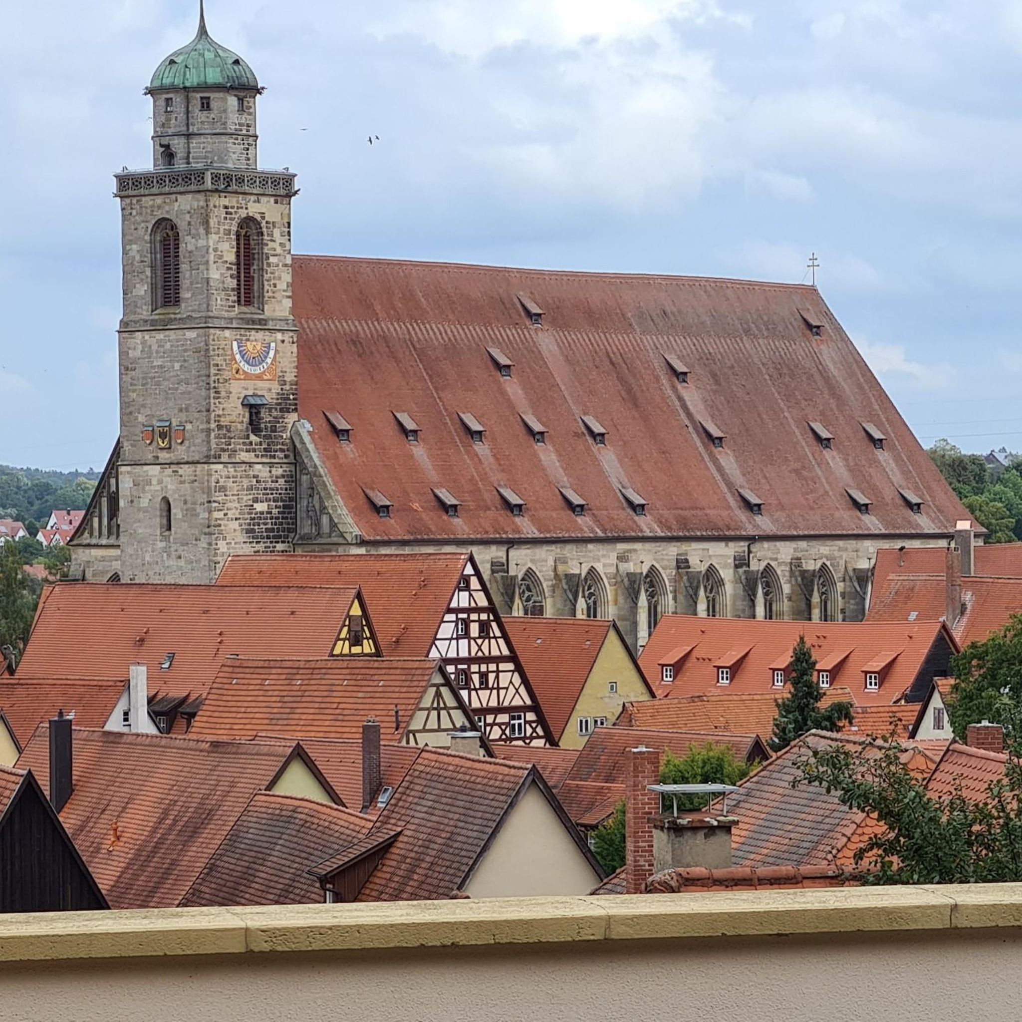
Gravel biking in Gorizia
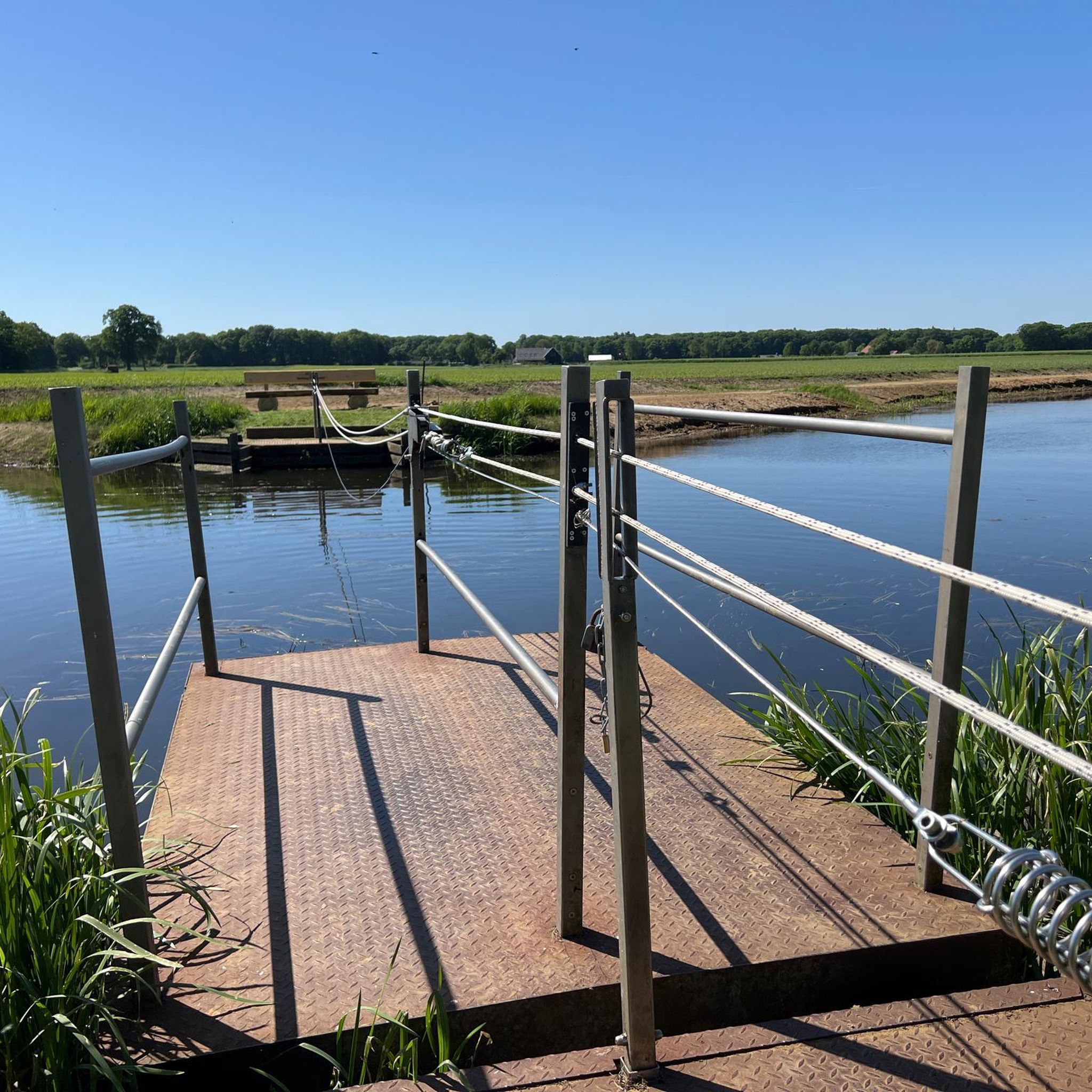
Gravel biking in Obalno-kraška
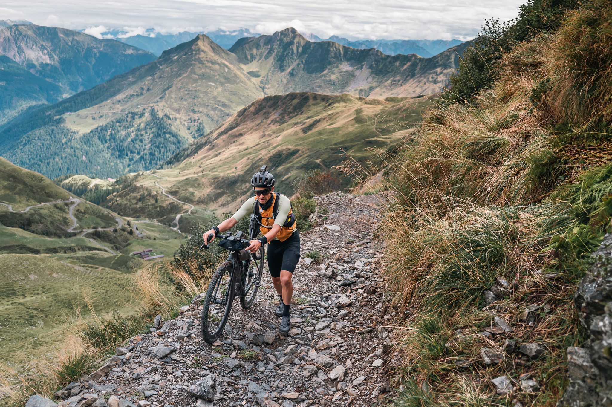
Sneak Peaks ADVENTURE 🥇
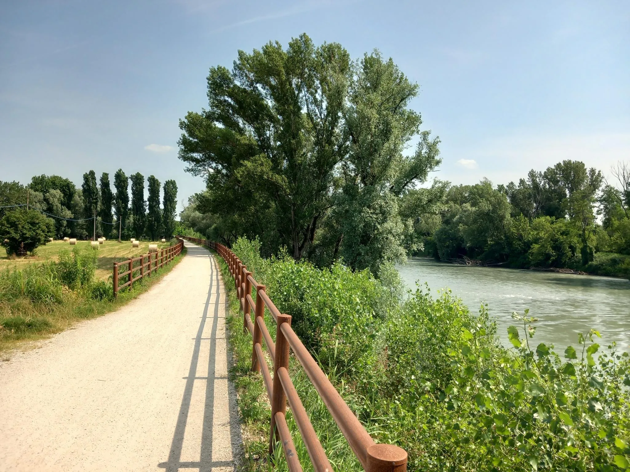
Via Postumia – Hike between the Tyrrhenian and Adriatic seas
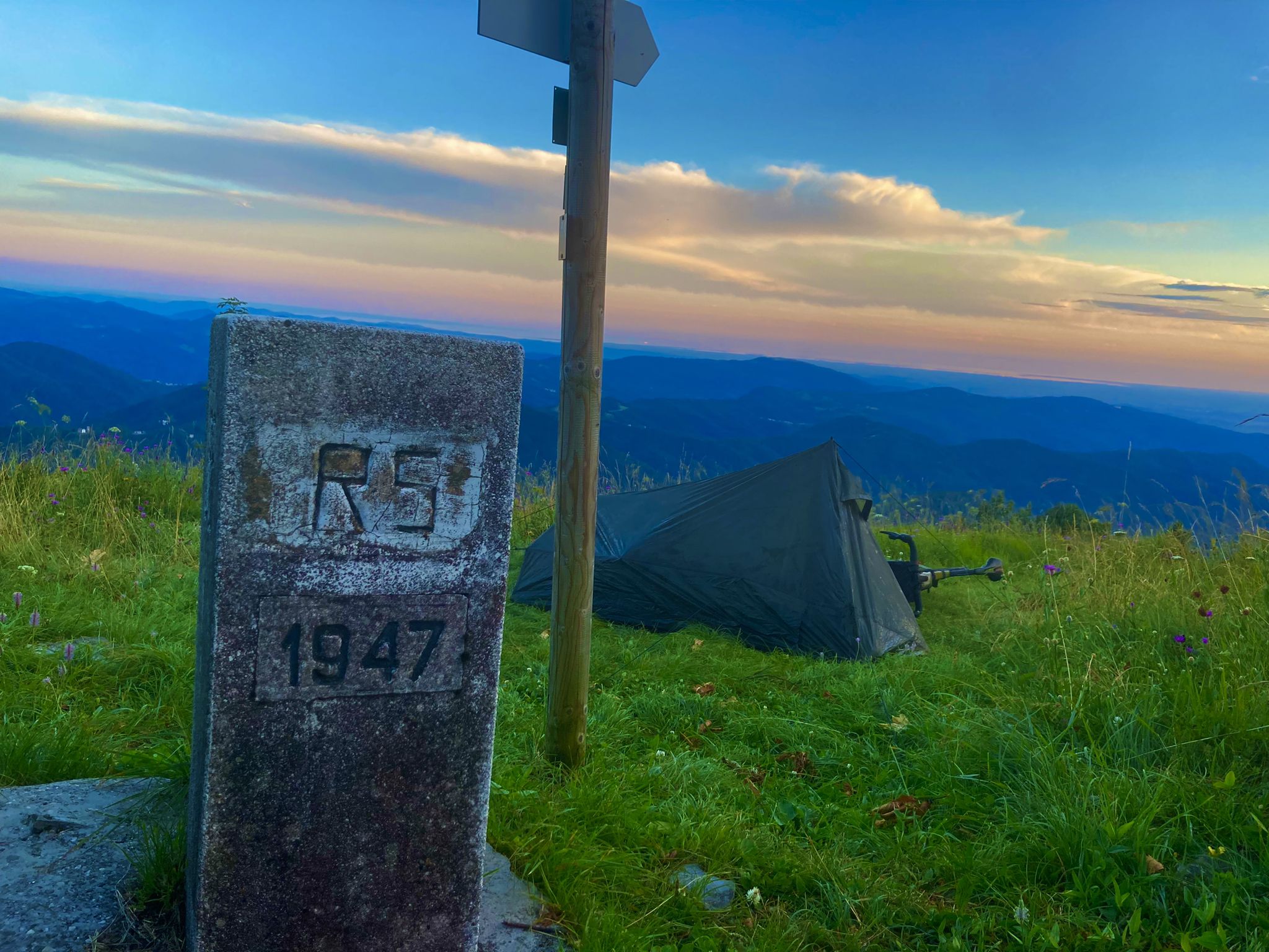
From Bavaria to the Adriatic - My Bikepacking Adventure to Croatia 2023
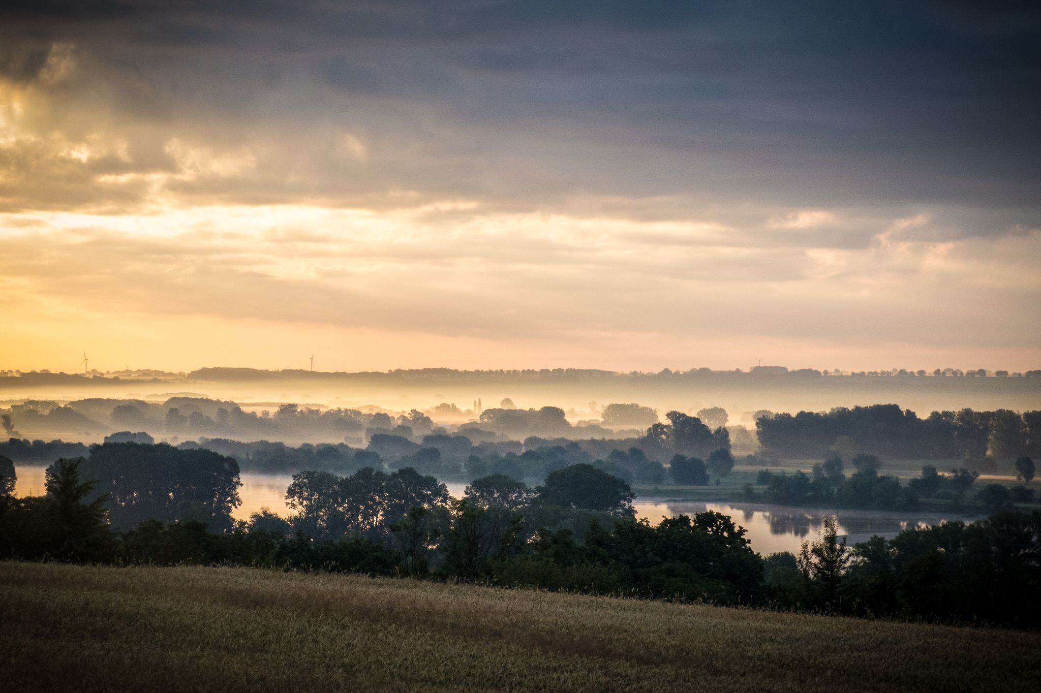
EuroVelo 9 – The Amber Route from the Baltic to Adriatic Sea
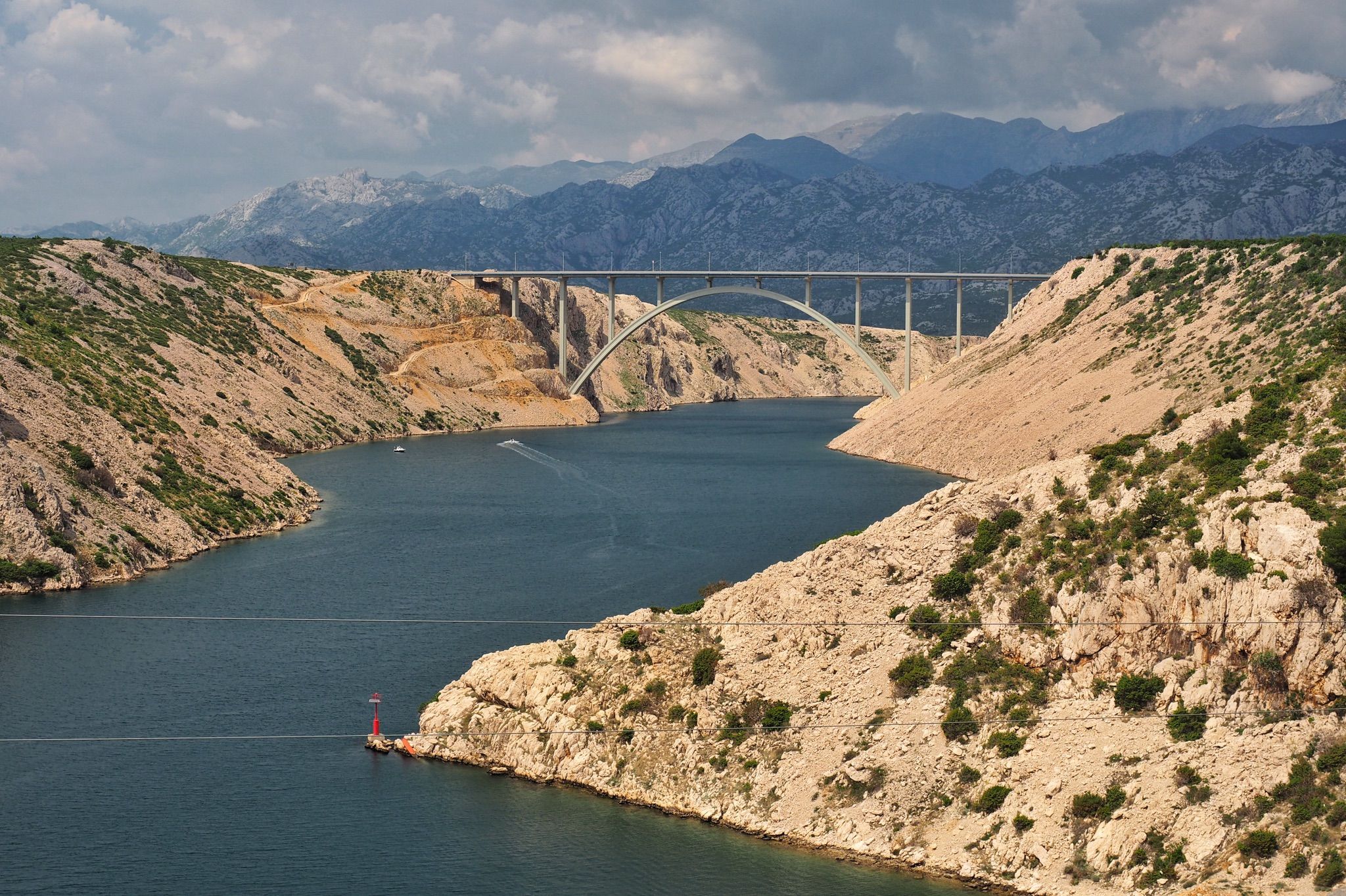
The Dinaric Alps – explore the Adriatic Sea in a different way
Other adventures in Friuli Venezia Giulia


Tips from the Community


Bosco delle Lame, a nature oasis close to the Caorle lagoon.
0
0

Passo della Crosetta, located at an altitude of 1,127 meters, is a strategic Alpine pass that connects the Treviso plain, in the municipality of Fregona, to the Cansiglio plateau and the province of Belluno. Nestled in a majestic setting of ancient woods, dominated by beech and fir trees, the pass represents a privileged gateway to one of the most fascinating natural areas in the Veneto region. A very popular destination in every season, it is a reference point for motorcyclists and cyclists who appreciate its scenic hairpin bends, but also an ideal starting point for hikers, ski mountaineers, and trekking enthusiasts heading towards Monte Pizzoc or the Cansiglio plain. At the pass, the presence of the historic refreshment area and rest stops allows for a regenerating break, combining the wild beauty of the mountains with the typical hospitality of the area.
0
0
Il Ristoro Crosetta, located at an altitude of 1,118 meters on the homonymous pass that connects the Treviso plain to the Cansiglio plateau, is a historic and unmissable stop for hikers, cyclists, and motorcyclists. This cozy stone and wood structure embodies the quintessence of mountain hospitality, offering a regenerating refuge in every season. The cuisine offers the authentic flavors of the Veneto-Belluno tradition, featuring game dishes, typical Cansiglio cheeses, warm polenta, and fresh mushrooms, all accompanied by homemade desserts and a good glass of local wine. Nestled in a centuries-old beech and fir forest, the establishment boasts a strategic position that makes it the ideal starting point or refreshment stop for exploring the numerous surrounding nature trails, offering an old-world atmosphere for relaxation and good food.
0
0

Pleasant, shady route through the forest and along the dam. Lots of pure nature while cycling is certain.
0
0
Romantic cycle path along the dam through the reed belt with a view of many "Casoni". The route is more single-track than cycle path. Caution in the summer months due to the blackberry bushes, which easily overgrow the path and lay thorns that are disliked by bike tires.
0
0
Romantic cycle path along the dam, past the reed belt with views of many "Casoni". The route is more single-track than cycle path. Beware in the summer months of the blackberry bushes, which easily overgrow the path and lay thorns unloved by bike tires.
0
0

Beautiful and stunning panoramas
0
0
Frequently Asked Questions
How many gravel bike trails are available in Friuli Venezia Giulia?
Friuli Venezia Giulia offers a vast network for gravel biking, with over 1,300 routes available. These range from easy rides to more challenging adventures, catering to various skill levels.
What kind of terrain can I expect on gravel bike trails in Friuli Venezia Giulia?
The region boasts incredibly diverse terrain. You can expect everything from challenging alpine passes in the Julian and Carnic Alps, rolling vineyard-covered hills in areas like Collio, expansive riverbeds along the Tagliamento River, and unique geological features on the Karst Plateau. Coastal paths along lagoons also offer a different riding experience.
What do other gravel bikers enjoy most about the trails in Friuli Venezia Giulia?
The gravel biking routes in Friuli Venezia Giulia are highly rated by the komoot community, with an average score of 4.5 stars from nearly 2,000 reviews. Riders frequently praise the varied landscapes, from mountains to coast, and the well-developed cycling infrastructure that makes exploring the region a pleasure.
Are there gravel routes suitable for beginners or families?
Yes, Friuli Venezia Giulia offers many accessible routes. For example, the Tagliamento Cycle Path – Pathway Along the River loop from Natura 2000 - Pineta di Lignano is a moderate path following the Tagliamento River, suitable for those looking for less strenuous rides. The region's plains and coastal areas also provide gentler options.
Are there any notable natural features or landmarks to see along the gravel routes?
Absolutely. Many routes pass by stunning natural features. You can explore deep gorges like the Slizza Gorge or the Rosandra Valley. The region also features beautiful mountain lakes such as Lago del Predil and the glacial Fusine Lakes, and the unique landscapes of the Karst Plateau with its caves and dolines.
Can I find gravel routes that follow rivers or coastlines?
Yes, the region is well-known for its river and coastal routes. The Tagliamento River, often called the 'King of Alpine rivers,' offers extensive gravel beds and cycle paths. You can also find routes along the Adriatic coast, such as the View of the Marano Lagoon – Pathway Along the River loop from Latisana - Lignano - Bibione, which explores the shallow, sandy lagoons.
Is public transport available to access gravel bike trails in Friuli Venezia Giulia?
Yes, Friuli Venezia Giulia supports cycling tourism with public transport services that accommodate bicycles. This includes regional trains year-round and special buses and boats during warmer months, making it easier to access various trailheads and connect different parts of your ride.
Are there challenging gravel routes for experienced riders?
For experienced riders seeking a challenge, the region's alpine terrain in the Carnic and Julian Alps offers demanding routes with significant elevation gain. For instance, the Ring tour on Cansiglio from La Crosetta is a difficult route through a forested mountain area with considerable climbing.
Are there any circular gravel bike routes in the region?
Many gravel routes in Friuli Venezia Giulia are designed as loops, allowing you to start and finish at the same point. Examples include the Tagliamento Cycle Path – View of the Marano Lagoon loop from Lignano Sabbiadoro / Lignan, which offers a scenic coastal and river experience.
Are dogs allowed on gravel bike trails in Friuli Venezia Giulia?
While specific regulations can vary by municipality or protected area, generally, dogs are welcome on many outdoor trails in Friuli Venezia Giulia, provided they are kept on a leash and owners clean up after them. It's always advisable to check local signage or park rules for specific routes, especially in nature reserves.
What is the best time of year for gravel biking in Friuli Venezia Giulia?
The best time for gravel biking typically spans from spring to autumn (April to October). Spring offers lush greenery and pleasant temperatures, while autumn provides vibrant foliage and cooler weather. Summer is ideal for higher alpine routes, though coastal and lowland areas can be quite warm. Winter can be suitable for some lower-elevation routes, but alpine areas will be snow-covered.
Are there gravel routes that pass through vineyards or historic villages?
Yes, Friuli Venezia Giulia is rich in cultural landscapes. You can find routes that wind through picturesque vineyards in areas like the DOC Colli Orientali and Collio, offering opportunities to combine cycling with wine tasting. Many trails also connect charming historic villages and UNESCO World Heritage sites such as Cividale del Friuli.
Where can I find parking for gravel biking routes?
Parking availability varies by trailhead. Many towns and villages that serve as starting points for popular routes, especially those along major cycle paths like the Alpe Adria Cycle Route or the Tagliamento Cycle Path, offer designated parking areas. It's recommended to check specific route details on komoot for parking suggestions near your chosen starting point.
Most popular routes in Friuli Venezia Giulia
Most popular attractions in Friuli Venezia Giulia

Get inspired with the komoot mobile app


Didn’t find what you were looking for?
Check out more Gravel rides throughout Friuli Venezia Giulia below and find the perfect route in your destination.
Explore more
Browse the best Gravel rides in other regions.
