The best gravel rides in the Murgtal
4.5
(32)
239
riders
35
rides
Gravel biking in the Murgtal offers a diverse landscape within the Northern Black Forest, characterized by the Murg River flowing through varied valleys, from wide meadows to secluded, forested gorges with granite crags. The region features steep slopes, picturesque waterfalls, and the Schwarzenbach Dam and Reservoir, providing a range of terrain for cyclists. Gravel paths constitute a significant portion of the routes, alongside asphalt and natural trails. This varied topography makes the Murgtal suitable for different gravel biking experiences.
Best…
Last updated: October 6, 2026
4.8
(6)
43
riders
55.2km
03:39
860m
860m
Hard gravel ride. Very good fitness required. Mostly paved surfaces. Suitable for all skill levels.
4.0
(2)
15
riders
55.2km
03:57
1,210m
1,210m
Hard gravel ride. Very good fitness required. Mostly paved surfaces. Suitable for all skill levels.

5.0
(2)
20
riders
71.8km
04:30
1,130m
1,130m
Hard gravel ride. Very good fitness required. Mostly paved surfaces. Suitable for all skill levels.
4.5
(4)
23
riders
72.7km
04:25
1,190m
1,190m
Hard gravel ride. Very good fitness required. Mostly paved surfaces. Suitable for all skill levels.
10
riders
17.9km
01:25
490m
490m
Hard gravel ride. Very good fitness required. Mostly paved surfaces. Suitable for all skill levels.
5.0
(1)
9
riders
29.4km
02:24
690m
690m
Hard gravel ride. Very good fitness required. Mostly paved surfaces. Suitable for all skill levels.
7
riders
24.0km
01:51
600m
600m
Hard gravel ride. Very good fitness required. You may need to push your bike for some segments of this route.
9
riders
Hard gravel ride. Very good fitness required. Mostly paved surfaces. Suitable for all skill levels.
5.0
(1)
7
riders
Hard gravel ride. Very good fitness required. Mostly paved surfaces. Suitable for all skill levels.
5
riders
35.9km
02:53
1,010m
1,010m
Hard gravel ride. Very good fitness required. Mostly paved surfaces. Suitable for all skill levels.
Get access to more routes and recommendations from other explorers.
Already have an account?
Our route recommendations are based on thousands of hikes, rides, and runs completed by other people on komoot.
Start today with a free account
Your next adventure awaits.
Popular around Murgtal
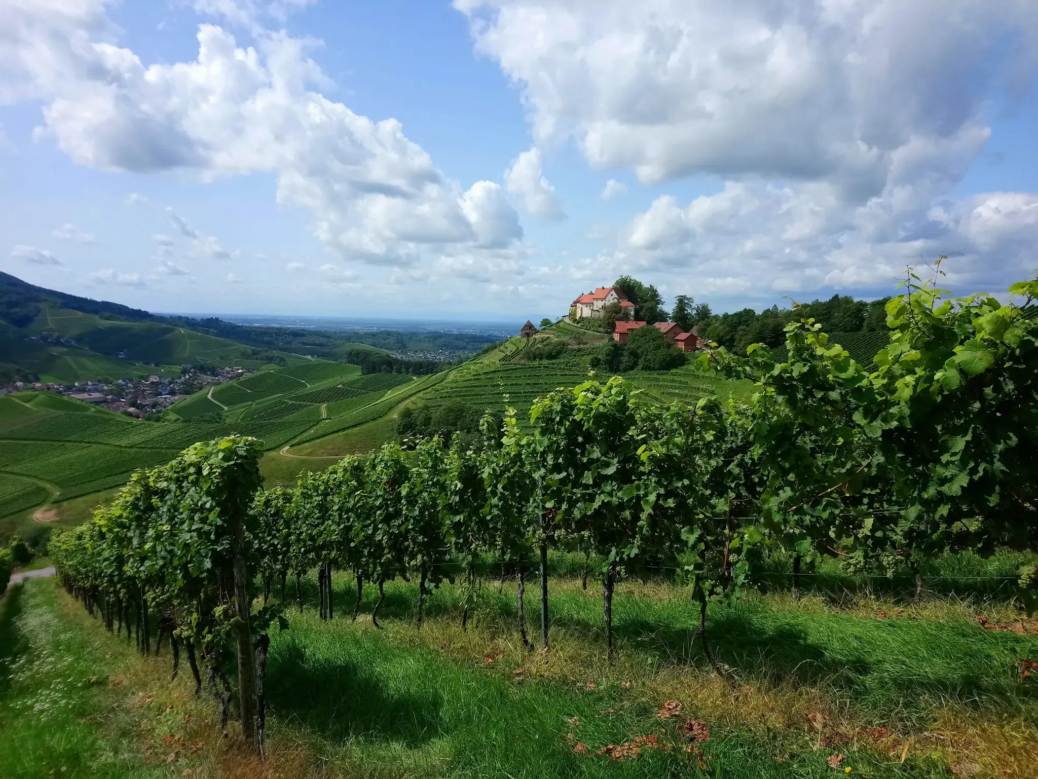
Ortenau Wine Trail – A glass of red and white, please
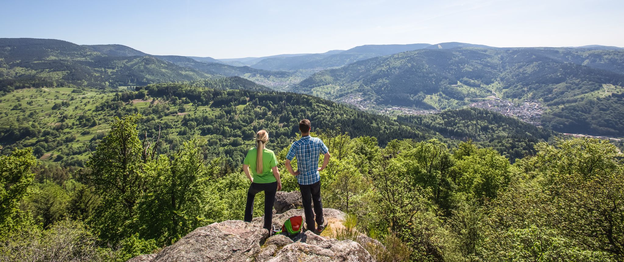
Murgleiter Trail – Experience the diverse Murg Valley in 5 stages
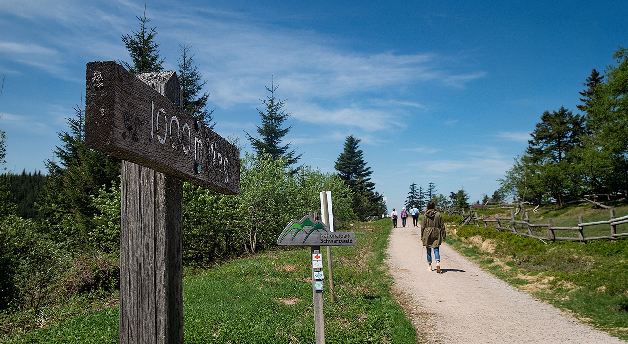
Barrier-free hikes in the Black Forest National Park
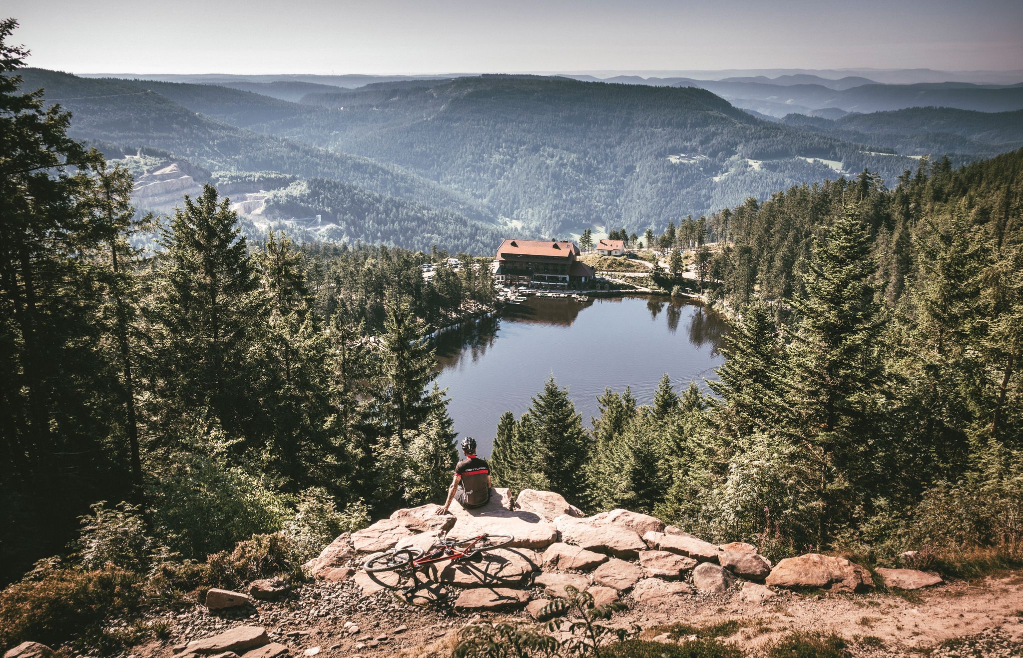
Your Gravel Summer – refreshing rides in the Black Forest
Hiking breaks in the South – two-day routes in Baden-Württemberg
Right into the adventure – experience nature in Baden-Württemberg
Far from the hustle and bustle – Hidden Trails in the Black Forest
Dreaming in the valley – low-lying spring trails in the Black Forest

Coolcation in the Black Forest – hiking and cooling off in summer
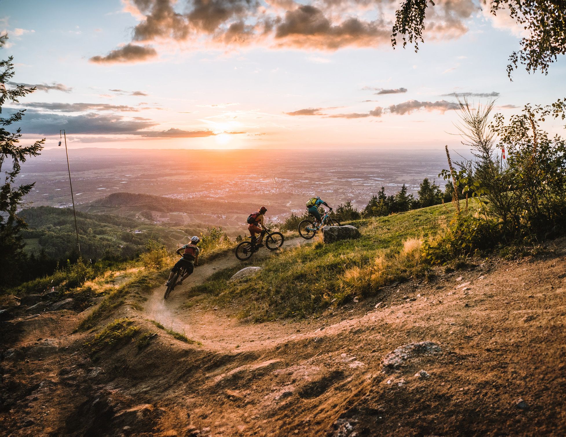
Discover the Black Forest on flowy trails
Other adventures in the Murgtal


Tips from the Community

The spectacular rock formations on the Murgtalradweg are mainly located on the particularly scenically attractive section between Raumünzach and Forbach
3
0

Idyllic passage through the rock. 😍
1
0

magnificent the view of Loffenau and the Murg Valley
0
0

At the spot where the mountain railway tunnels under the gravel road, you have beautiful views over Baden-Baden. A good place for a breather.
1
0
a breathtaking panorama 🤩
0
0

Beautiful view of Winkel, the small district of Bad Rotenfels, the many horse paddocks and the foothills of the Northern Black Forest in the background.
7
0
Beautiful view over the Murg to the old town and the surroundings.
4
0

The new, curved suspension bridge for pedestrians and cyclists has turned out beautifully! The northern connection to a separate cycle path is also finished (in June 2026, a railing was added towards the Murg).
5
2
Frequently Asked Questions
What kind of terrain can I expect on gravel bike trails in the Murgtal?
The Murgtal offers a diverse landscape for gravel biking. You'll encounter a significant percentage of gravel paths, often around 70%, alongside asphalt and natural trails. The terrain varies from wide meadows in the upper Murg River sections to secluded, forested gorges with striking granite crags and steep slopes. Some routes, particularly through the Murgtal Gorge, feature challenging sections with varying surfaces, including loose and rough gravel.
Are there any family-friendly gravel biking options in the Murgtal?
While many routes in the Murgtal are rated as difficult due to significant elevation gain, the region's diverse landscape means there are also gentler sections, especially along the Murg River. For families, consider routes that stick to the wider valley sections or explore the numerous side valleys fed by fresh spring water. Always check the route details on komoot for specific difficulty ratings and elevation profiles to ensure it suits your family's abilities.
What are some notable natural attractions or landmarks I can see along the gravel bike trails?
The Murgtal is rich in natural beauty. You can ride past the impressive Murgtal Gorge, experience the unique Rock tunnels on the Tour de Murg cycle route, or visit the picturesque Laufbach Waterfalls. The Schwarzenbach Dam and Reservoir, the largest dam in the northern Black Forest, is also a prominent feature that can be integrated into longer routes.
Are there any circular gravel bike routes available in the Murgtal?
Yes, many of the gravel bike routes in the Murgtal are designed as loops, allowing you to start and end at the same point. For instance, the challenging Wegscheid Hut – Schwarzenbach Dam loop from Gaggenau and the demanding Tour de Murg cycle path – Murgtal Gorge loop from Obertsrot are popular circular options that showcase the region's varied landscapes.
What is the best time of year for gravel biking in the Murgtal?
The Murgtal is enjoyable for gravel biking throughout much of the year. Spring and autumn offer pleasant temperatures and vibrant scenery, with spring bringing fresh greenery and autumn showcasing colorful foliage. Summer is also popular, though some sections, especially in the gorges, can be more challenging in warmer weather. Winter conditions can vary, with higher elevations potentially experiencing snow and ice, so always check local weather forecasts and trail conditions before heading out during colder months.
Can I bring my dog on gravel bike trails in the Murgtal?
Many trails in the Murgtal are suitable for cycling with dogs, especially those that follow wider paths or forest roads. However, some routes, particularly those with challenging technical sections, steep climbs, or rough surfaces, might not be ideal for all dogs. Always ensure your dog is fit enough for the chosen route and that local regulations permit dogs on the specific trails you plan to use. Keep your dog on a leash and be mindful of other trail users.
Are there options for parking near the gravel bike trails in the Murgtal?
Yes, you'll find various parking options throughout the Murgtal, especially in towns and villages that serve as starting points for routes. Many trailheads and popular cycling areas have designated parking lots. For example, routes starting from Gaggenau or Obertsrot typically have accessible parking. It's always a good idea to check the specific starting point of your chosen route on komoot for detailed parking information.
How can I access gravel bike trails in the Murgtal using public transport?
The Murgtal is well-served by public transport, particularly the Murgtalbahn (Murg Valley Railway), which runs along the Murg River. This makes it convenient to access many gravel bike trails, as several towns and villages along the route have train stations. Most trains allow bikes, though there might be restrictions during peak hours or for larger groups. Check the local transport provider's website for current schedules and bike carriage policies.
What do other gravel bikers enjoy most about gravel biking in the Murgtal?
The Murgtal is highly rated by the komoot community, with an average score of 4.2 stars from over 20 reviews. Reviewers often praise the region's varied terrain, from serene meadows to rugged gorges, and the scenic beauty of the Murg River. The challenging nature of many routes, such as the Murgtal Gorge – Tour de Murg cycle path loop from Gaggenau, is also frequently highlighted as a rewarding experience for those seeking adventure.
Are there any easier gravel bike routes for beginners in the Murgtal?
While many routes in the Murgtal are rated as difficult, there are sections and shorter loops that can be more suitable for beginners or those looking for a less strenuous ride. Look for routes that stick to the valley floor or have less significant elevation gain. For example, the Gernsbach Old Town – View from Merkur Mountain loop from Gernsbach offers a shorter distance with a manageable elevation profile, providing a taste of the Murgtal's beauty without extreme challenges.
Can I find cafes or pubs along the gravel bike trails in the Murgtal?
Yes, the Murgtal region has numerous towns and villages along the Murg River and within its side valleys, offering various opportunities for refreshments. You'll find cafes, pubs, and restaurants where you can take a break and refuel. Many routes pass through or near these settlements, making it easy to plan stops. For example, routes starting from Gaggenau, Gernsbach, or Obertsrot will have amenities readily available.
Are there any hidden gem gravel routes in the Murgtal that are less known?
Beyond the well-known Murgtal Gorge routes, exploring the numerous side valleys can reveal quieter, less-trafficked gravel paths. These valleys often feature unique 'hay hut valleys' and fresh spring water, offering a distinct cultural landscape and serene riding experience. Routes like the Tannschach Hut – View of Bernbach loop from Gaggenau might lead you through some of these charming, less-explored areas.
Most popular routes in the Murgtal
Most popular attractions in the Murgtal

Get inspired with the komoot mobile app


Explore more
Browse the best Gravel rides in other regions.
