The 5 Most Amazing Peaks around Tastungen
Best mountain peaks around Tastungen are found within the Ohmgebirge, a range situated at the northwestern foot of the mountains in Thuringia, Germany. The region features elevations suitable for hiking and enjoying natural landscapes. The Trogberg, at 502.9 meters, is a notable local ascent and forms the northwestern pillar of the Ohmgebirge. Tastungen itself is located at an elevation of approximately 255 to 256 meters above sea level.
Best mountain peaks around Tastungen
- The most popular mountain peaks is Kanstein…
Last updated: October 4, 2026
Sonnenstein (Ohm Mountains)
Highlight • Viewpoint
Translated by Google •
Tip by

Leinefelde station
Highlight • Rest Area
Translated by Google •
Tip by

Sign up now to discover places like this
Get recommendations on the best single tracks, peaks, & plenty of other exciting outdoor places.
Kanstein Viewpoint
Highlight • Viewpoint
Translated by Google •
Tip by

Birkenberg Summit
Highlight • Summit
Translated by Google •
Tip by

View of Sonnenstein
Highlight • Viewpoint
Translated by Google •
Tip by

Start today with a free account
Your next adventure awaits.
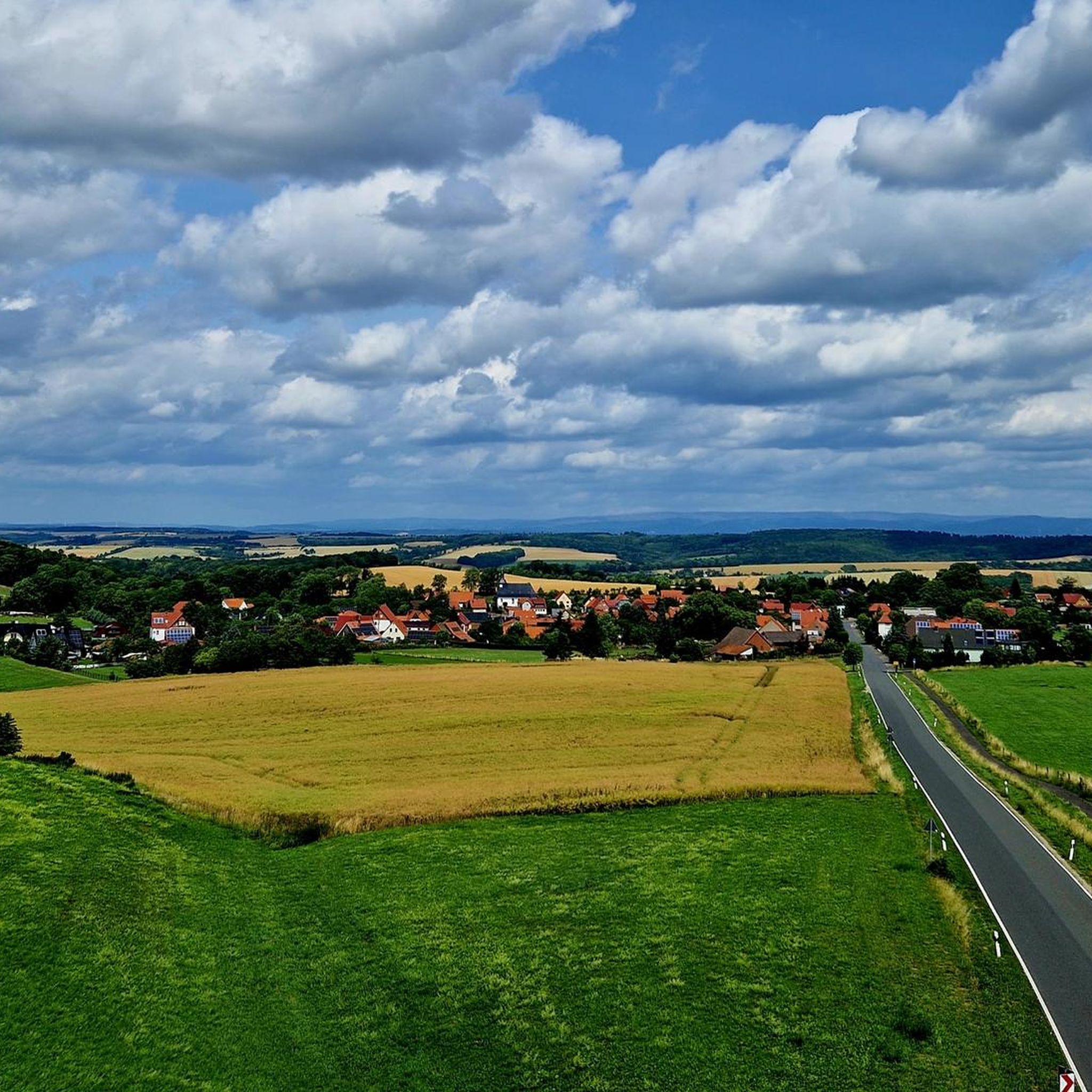
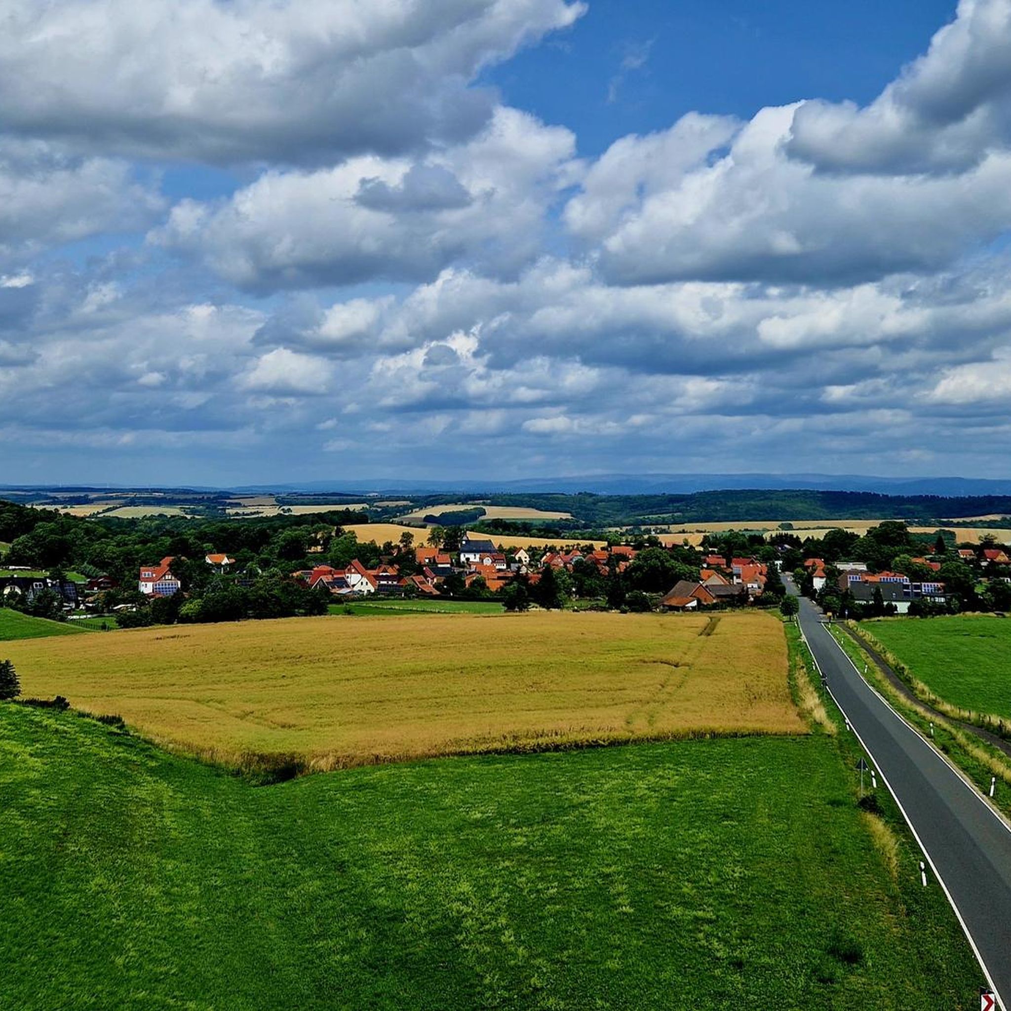
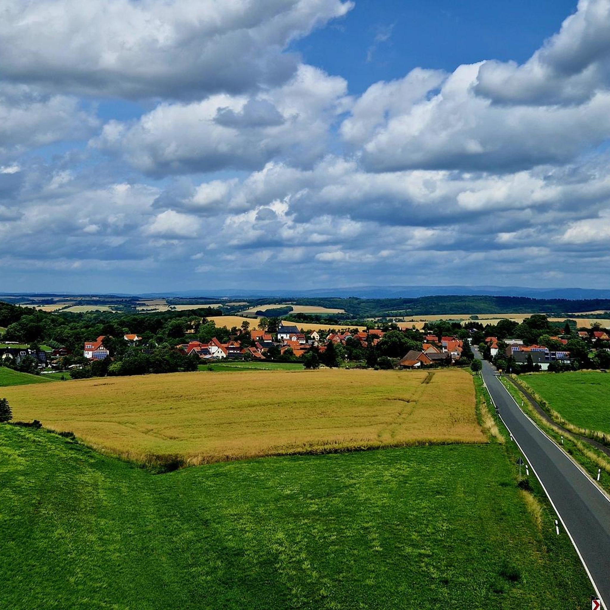
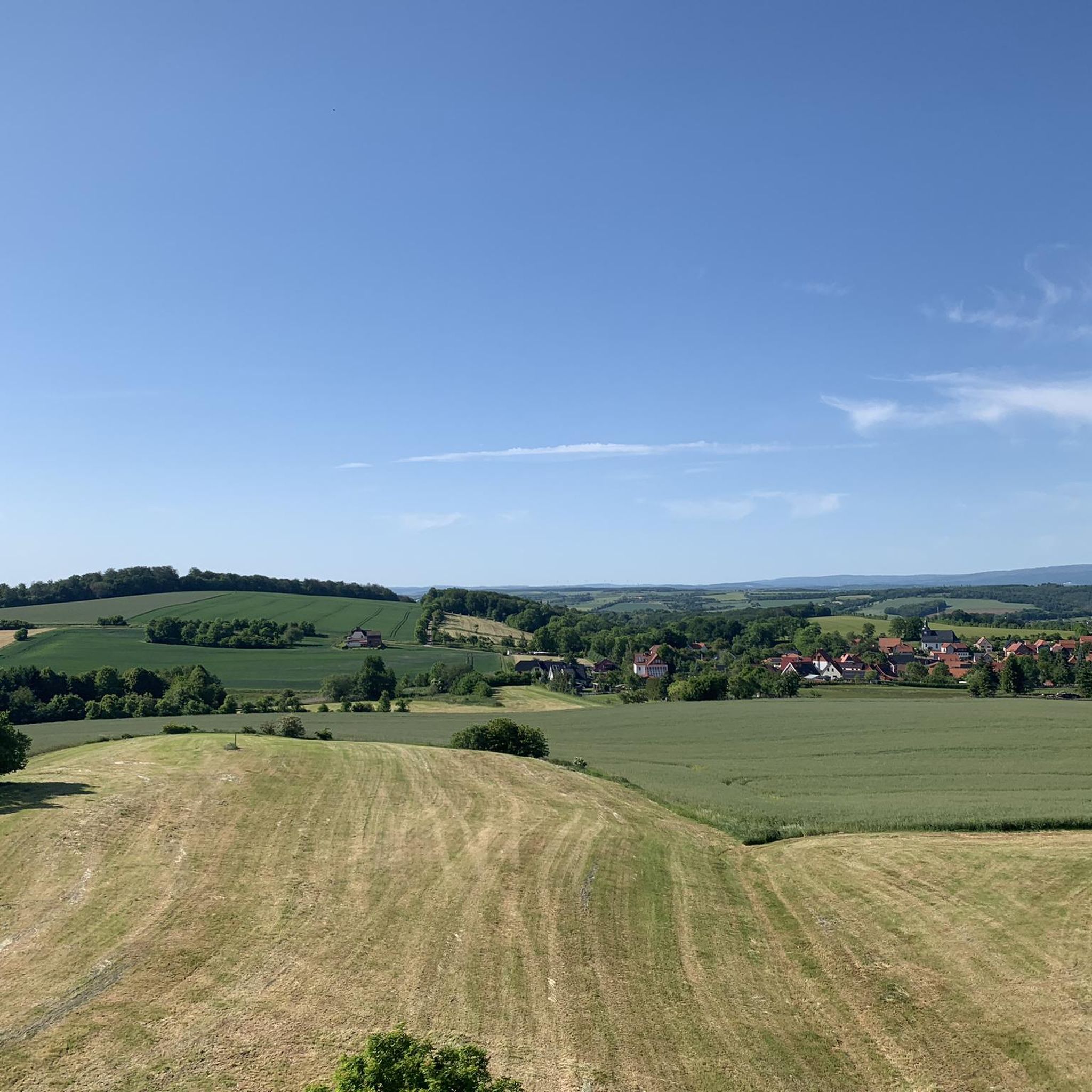
Tips from the Community

The first panel shows a map of the Eichsfeld, the second panel contains interesting facts about the Sonnenstein and the third panel provides information about the Eichsfeldlied and its author.
22
0
The Sonnenstein viewing platform was built in 2017 and is 14 meters long.
23
0

At 435.5 meters, the Kanstein is a highlight on the hiking trail from Worbis to Bodenstein. From here you have a beautiful view of the Zehnsberg and the Hahletal.
8
0
From the Kanstein you have a beautiful view of the Zehnsberg and the Hahletal.
6
0

Central meeting point for hikers, cyclists and walkers. The Muschelkalk cliff offers beautiful views and numerous places to sit.🫶🪨🤘
12
0

On a clear day, for example, from the Wehnder Warte you can see the Sonnenstein below Brehme and its summit cross.
4
0

During the time I was at the train station there was construction work going on and the German railway signposts were misleading. You have to pass the station building on the right and not on the left.
1
0

The elevators on the platforms are too small. An e-bike does not fit in. I had to unload the luggage and lift my front wheel so high that the doors closed.
1
0
Frequently Asked Questions
What are the most notable mountain peaks or elevations around Tastungen?
The most prominent elevation in the immediate vicinity of Tastungen is the Trogberg, reaching 502.9 meters, which forms the northwestern pillar of the Ohmgebirge. Other significant spots include the Kanstein Viewpoint at 435.5 meters, and the Birkenberg Summit, which is one of the highest vantage points in the district at 533 meters above sea level.
What kind of views can I expect from the peaks in the Ohmgebirge region?
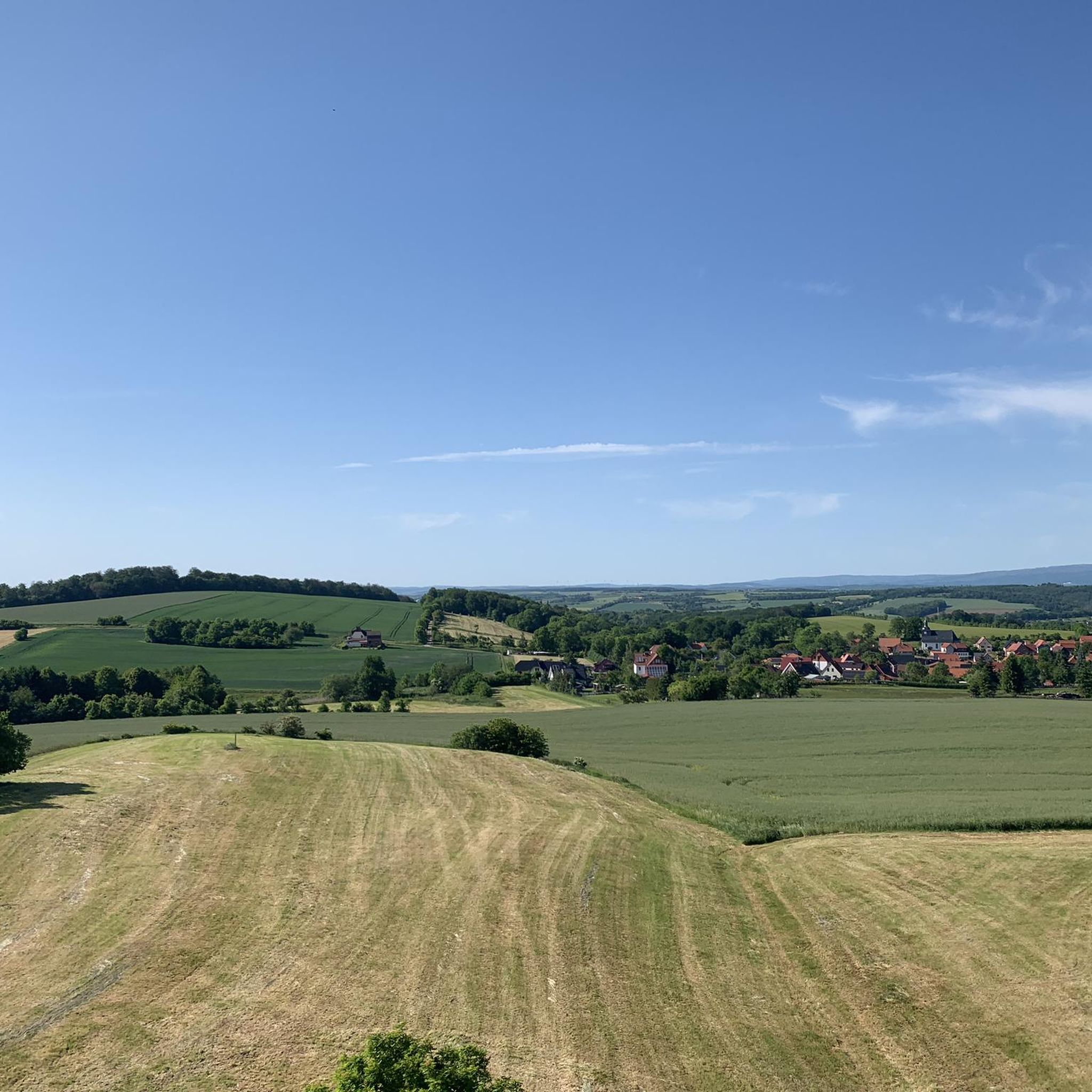
From the Kanstein Viewpoint, you can enjoy beautiful views of the Zehnsberg and the Hahletal. The Birkenberg Summit offers a wonderful panoramic view over the diverse landscapes of the Eichsfeld. Additionally, from the View of Sonnenstein, you can observe the Sonnenstein summit, with its cross visible on clear days from locations like the Wehnder Warte.
Are there hiking trails suitable for families or beginners in the Ohmgebirge near Tastungen?
Yes, the Ohmgebirge region offers elevations suitable for hiking, including options for various skill levels. For easier walks, consider routes like the "Reservoir – Teistungen Reservoir loop from Tastungen" (5.5 km) or the "Teistungen Reservoir – Wehnder Warte loop from Lindenberg/Eichsfeld" (6.6 km). You can find more hiking options in the Hiking around Tastungen guide.
What natural features can I see when exploring the mountain peaks around Tastungen?
The region is characterized by the natural landscapes of the Ohmgebirge. A notable feature is the striking shell limestone cliff at the Kanstein Viewpoint. The area generally offers scenic views and natural beauty typical of a modest mountain range in Thuringia.
What other outdoor activities can I do near the mountain peaks around Tastungen?
Besides hiking, the area around Tastungen is great for cycling. You can explore various routes for road cycling and touring bicycles. For example, the "Bärenpark Worbis – Hundeshagen Ascent loop from Hundeshagen" is an easy road cycling route. For more options, check out the Road Cycling Routes around Tastungen and Cycling around Tastungen guides.
What do visitors enjoy most about the mountain peaks and viewpoints in this region?
Visitors particularly appreciate the beautiful views and the natural tranquility. The Kanstein Viewpoint is highlighted as a central meeting point for hikers and cyclists, offering numerous seating options. The panoramic views from spots like the Birkenberg Summit over the Eichsfeld landscapes are also highly valued.
Are there any historical or cultural landmarks near the mountain peaks?
While the focus is on natural peaks, the broader Eichsfeld region, visible from viewpoints like the Birkenberg Summit, has historical significance. Hiking routes in the area, such as the "Wehnder Warte – Bodenstein Castle loop from Tastungen," can lead you past historical sites like Bodenstein Castle, offering a blend of nature and history.
How accessible are the mountain peaks around Tastungen by public transport?
The town of Tastungen itself is situated in a rural area. For broader regional access, Leinefelde station serves as a hub for nationally important railway lines, offering good connections to cities like Göttingen, Erfurt, and Kassel. From there, local bus routes would typically connect to smaller municipalities like Tastungen, though direct access to specific trailheads might require further planning.
Can I bring my dog on the hiking trails around the Ohmgebirge peaks?
Generally, hiking trails in natural areas like the Ohmgebirge are dog-friendly, provided dogs are kept on a leash and owners adhere to local regulations regarding waste disposal and wildlife protection. It's always recommended to check specific trail rules or local signage for any restrictions.
Are there any circular hiking routes that include the notable peaks near Tastungen?
Yes, there are circular routes that allow you to explore the area. For instance, the "Wehnder Warte – Bodenstein Castle loop from Tastungen" is a moderate 14.2 km hike that takes you through the scenic landscape. Many trails in the Hiking around Tastungen guide are designed as loops.
What is the elevation of Tastungen itself, and how does it compare to the surrounding peaks?
Tastungen is located at an elevation of approximately 255 to 256 meters above sea level. This means that local ascents like the Trogberg, which reaches 502.9 meters, represent a significant climb from the village, offering a good elevation gain for hikers.
Where can I find maps of the hiking trails in the Ohmgebirge near Tastungen?
Komoot provides detailed maps and route information for the area. You can explore various hiking trails and their maps within the Hiking around Tastungen guide, which includes routes like the "Reservoir – Teistungen Reservoir loop" and the "Wehnder Warte – Bodenstein Castle loop."
Most popular routes around Tastungen
Most popular attractions around Tastungen

Get inspired with the komoot mobile app


Explore more
See even more amazing summits around Tastungen with these guides:
