The 3 Most Amazing Peaks around Silberhausen
Best mountain peaks around Silberhausen are found within a generally undulating and hilly landscape, rather than prominent mountain peaks. The village itself is situated at an elevation of 320 meters above sea level. The surrounding region offers various elevations and opportunities for outdoor activities, with hiking and cycling routes featuring moderate elevation changes. These trails often connect natural springs and historical sites, providing engaging experiences in the local terrain.
Best mountain peaks around Silberhausen
- The most popular mountain peaks is Hockelrain Summit and Shelter, a summit that is the highest elevation in the Dün. It offers a beautiful view and features a former watchtower converted to a transmission tower.
- Another must-see spot is Warteberg rest area with views of Flinsberg, a viewpoint. This location provides a fantastic view of the entire area around Flinsberg, extending as far as the Großer Inselsberg on clear days.
- Visitors also love Ibenkuppe, a summit. This mountain spur can be challenging to reach by mountain bike, with paths that can be overgrown with tall grass in summer.
- Silberhausen is known for its summits and viewpoints. The area offers a variety of elevated natural features and scenic outlooks to explore.
- The mountain peaks around Silberhausen are appreciated by the komoot community, with over 170 upvotes and more than 100 photos shared by visitors.
Last updated: May 19, 2026
Hockelrain Summit and Shelter
Highlight • Summit
Translated by Google •
Tip by

Leinefelde station
Highlight • Rest Area
Translated by Google •
Tip by

Sign up now to discover places like this
Get recommendations on the best single tracks, peaks, & plenty of other exciting outdoor places.
Sign up for free
Old Reifenstein Castle
Highlight • Historical Site
A good resting place, the overhanging trees, the view and the ditch or cut into the shell limestone are interesting.
Translated by Google •
Tip by

Ibenkuppe
Highlight • Summit
Translated by Google •
Tip by

Warteberg Viewpoint
Highlight • Viewpoint
Translated by Google •
Tip by

Start today with a free account
Your next adventure awaits.
Login or Signup
Popular around Silberhausen
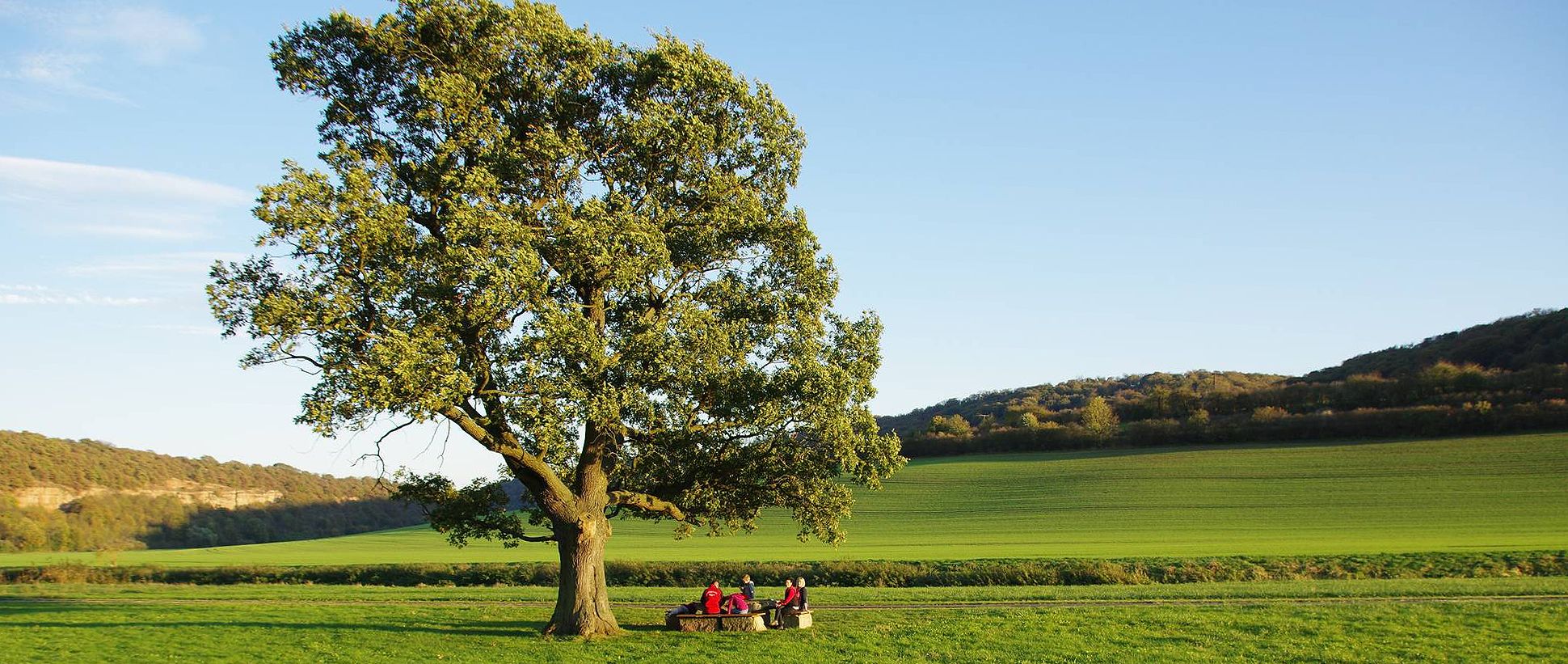
Unstrut cycle path — 4 days through Thuringia and Saxony-Anhalt
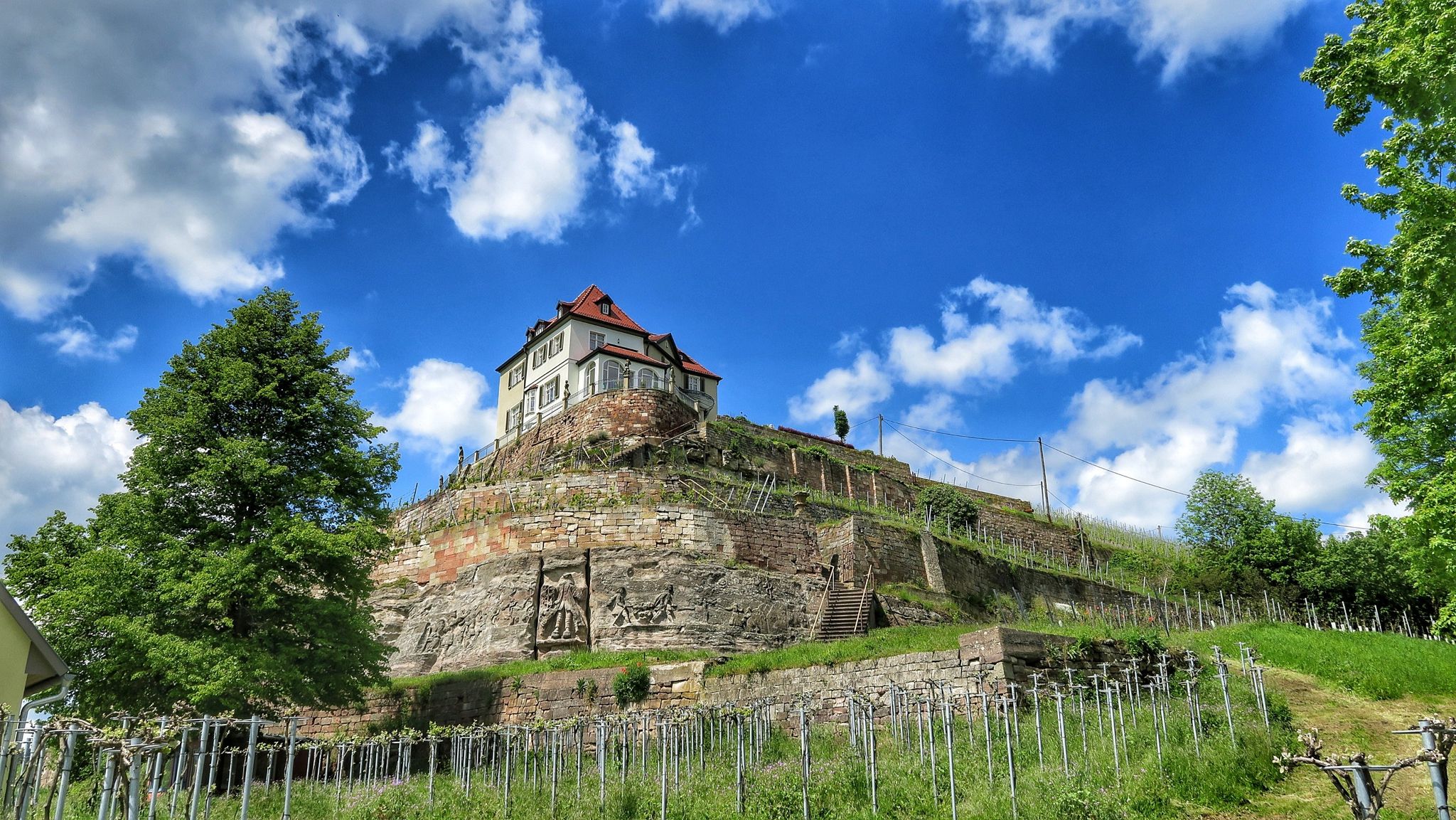
Ilmtal and Unstrut cycle paths – discover Thuringia in Germany by bike
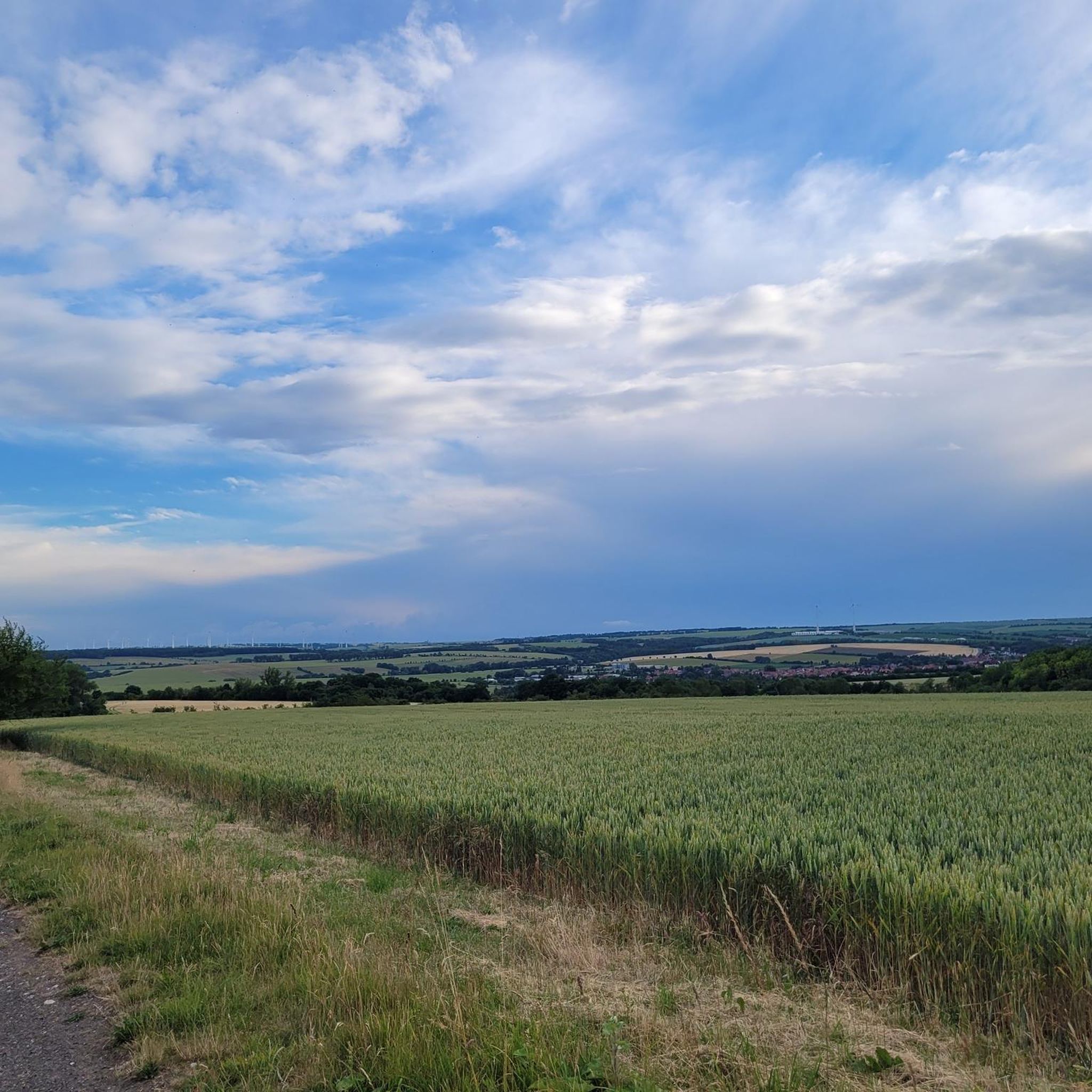
Cycling around Silberhausen
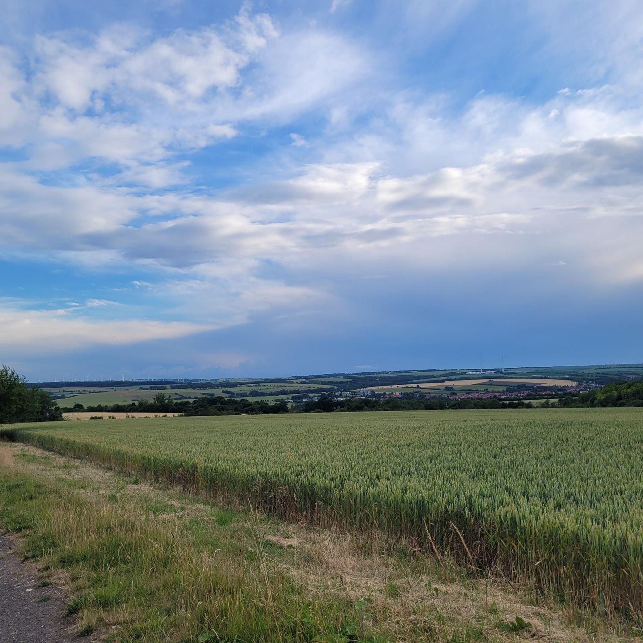
MTB Trails around Silberhausen
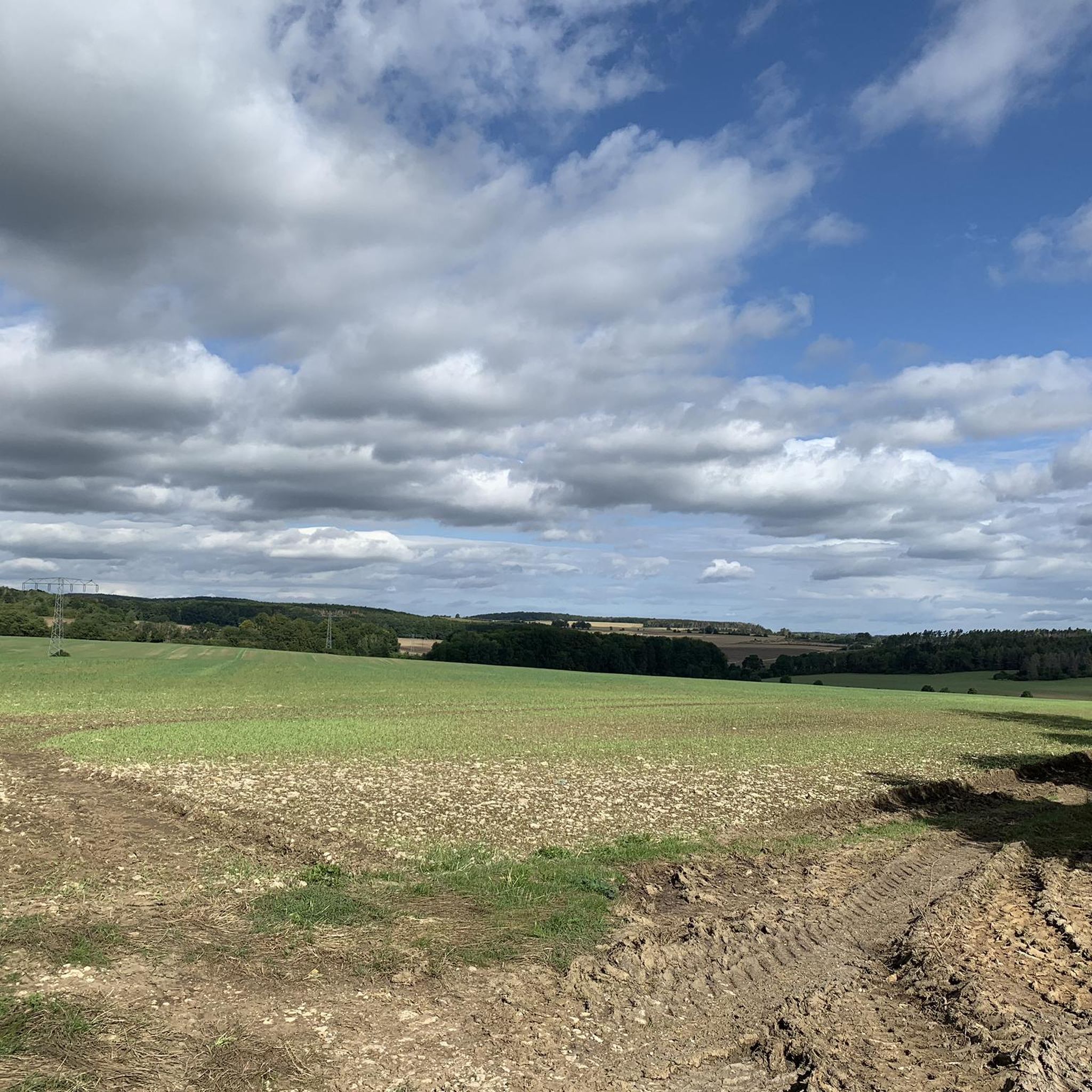
Road Cycling Routes around Silberhausen
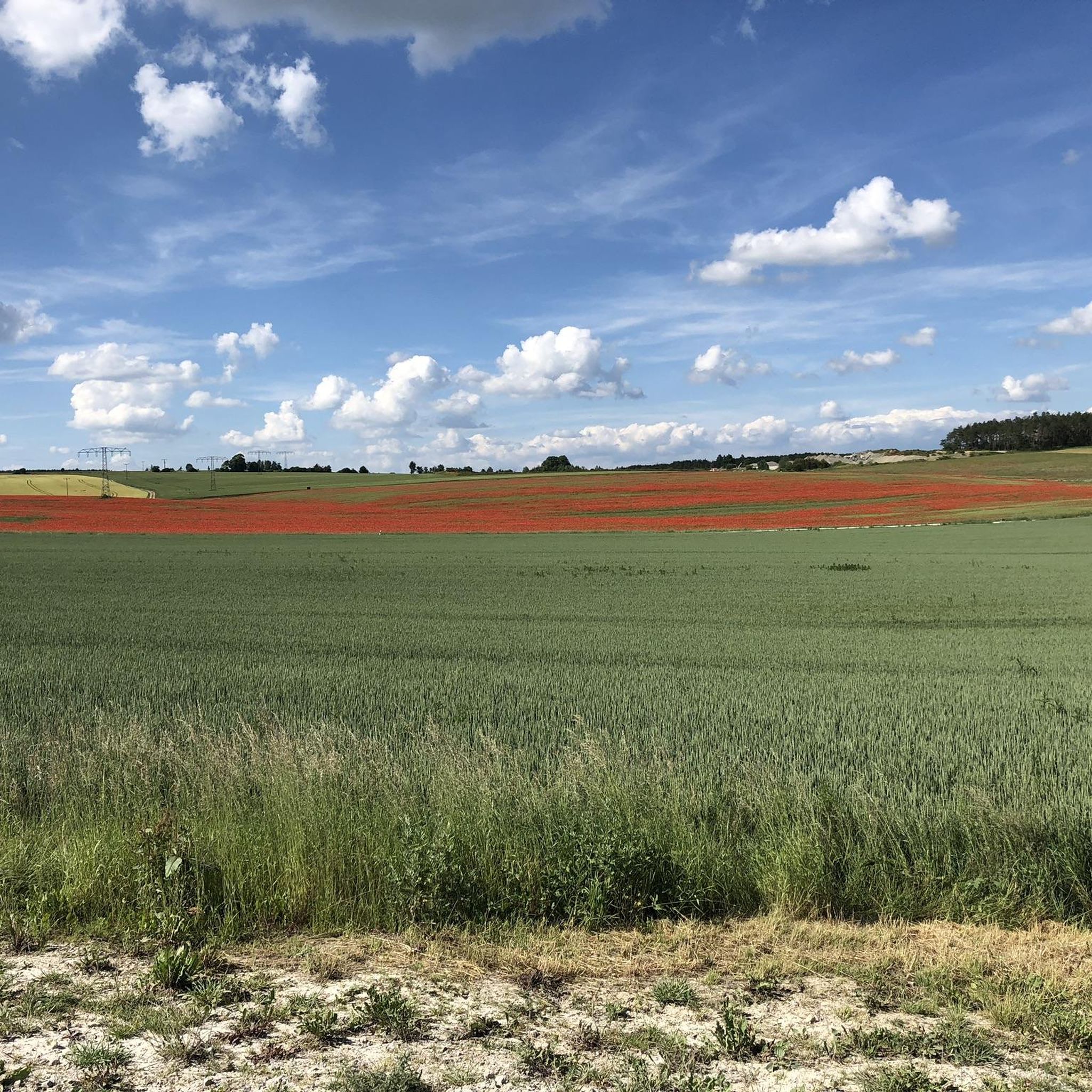
Running Trails around Silberhausen
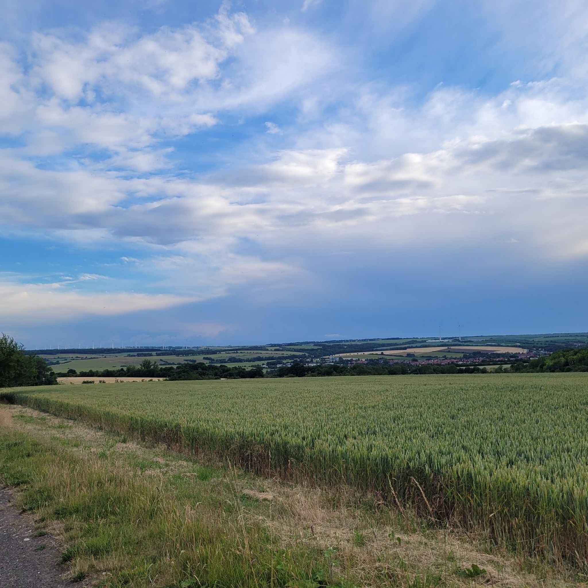
Hiking around Silberhausen

Gravel biking around Silberhausen


Tips from the Community

Unfortunately, nothing of the castle complex remains, but the moat is still clearly visible.
0
0

A worthwhile hiking destination, there is nothing left of the castle, but you can easily imagine how it stood here. A good resting place, the overhanging trees, the view and the ditch or cut into the shell limestone are interesting.
16
0

During the time I was at the train station there was construction work going on and the German railway signposts were misleading. You have to pass the station building on the right and not on the left.
0
0

The elevators on the platforms are too small. An e-bike does not fit in. I had to unload the luggage and lift my front wheel so high that the doors closed.
1
0


Deutsche Bahn station
0
1

Has a concourse where you can wait. With coffee machine.
0
0
Frequently Asked Questions
What are some notable viewpoints around Silberhausen?
The region offers several excellent viewpoints. The Hockelrain Summit and Shelter provides beautiful views and is the highest elevation in the Dün. Another fantastic spot is the Warteberg rest area with views of Flinsberg, which offers expansive vistas of the surrounding area, extending to the Großer Inselsberg on clear days. The Warteberg Viewpoint itself, at 515.9 m above sea level, provides great views of distant mountains like Brocken and Hohen Meißner.
Are there family-friendly mountain walks or viewpoints in the Silberhausen area?
Yes, the Warteberg rest area with views of Flinsberg and the Warteberg Viewpoint are both considered family-friendly. These locations offer rewarding views without requiring overly strenuous climbs, making them suitable for outings with children.
What kind of terrain and difficulty can I expect on trails around Silberhausen's elevated areas?
The Silberhausen region features a generally undulating or hilly landscape. Trails often have moderate elevation changes, making them suitable for various fitness levels. While some paths can be steep, like the drive to Hockelrain Summit and Shelter, many routes are accessible. For instance, the Ibenkuppe is noted as challenging, with paths that can be overgrown in summer, especially for mountain biking.
What outdoor activities can I do near these elevated areas?
The hilly landscape around Silberhausen is ideal for various outdoor activities. You can find numerous options for hiking, running, and mountain biking. For detailed routes and guides, explore the Hiking around Silberhausen, Running Trails around Silberhausen, and MTB Trails around Silberhausen guides.
Are there challenging climbs for experienced hikers or mountain bikers?
Yes, for those seeking a challenge, the Ibenkuppe is categorized as challenging, particularly for mountain biking due to potentially overgrown paths. Additionally, some running and MTB routes in the area are rated as 'difficult', such as the 'Kanonenbahn Cycle Path – Old Railway Bridge Pillars loop from Dingelstädt' for running, and the 'Ibergwarte – Dünkreuz Viewpoint loop from Silberhausen' for MTB, which covers over 48 km.
What historical or cultural landmarks can be found near the elevated areas?
The region around Silberhausen blends natural beauty with historical significance. The Hockelrain Summit and Shelter, for example, was formerly a watchtower. The broader area features historical landmarks like the Kanonenbahn Stone Arch Bridge, and many hiking routes connect natural springs and chapels, offering a glimpse into the local heritage.
What is the best time of year to visit Silberhausen for hiking and outdoor activities?
The moderate elevation changes and varied landscapes around Silberhausen make it suitable for outdoor activities throughout much of the year. Spring and autumn offer pleasant temperatures and vibrant scenery, while summer is excellent for longer days. Even winter can be appealing for those who enjoy crisp air and potentially snow-dusted trails, though specific conditions should always be checked.
Is public transport available to reach hiking areas around Silberhausen?
Yes, public transport can be utilized. Leinefelde station serves as a significant railway hub with good connections to surrounding areas like Göttingen, Nordhausen, and Erfurt. From Leinefelde, you can often find local bus services or connect to trailheads, making it a convenient starting point for exploring the region.
Are there any facilities or shelters available on the peaks or viewpoints?
Yes, the Hockelrain Summit and Shelter provides a shelter for visitors. Additionally, the Warteberg rest area with views of Flinsberg is equipped with facilities, offering a comfortable spot to take a break and enjoy the scenery.
What are some of the natural features to look out for while exploring the elevated areas?
Beyond the panoramic views from spots like Warteberg and Hockelrain, the region is characterized by its natural springs and varied forest landscapes. The Ibenkuppe is also designated as a natural monument, highlighting its ecological significance. Keep an eye out for the diverse flora and fauna typical of the Thuringian countryside.
Can I find circular hiking routes around Silberhausen's elevated points?
Yes, the area offers many circular hiking routes that incorporate the elevated terrain. For example, the 'Marienkapelle – Honey Stand loop from Dingelstädt' is a moderate circular route covering about 7.6 kilometers. You can find more options in the Hiking around Silberhausen guide, many of which are designed as loops.
Most popular routes around Silberhausen
Most popular attractions around Silberhausen

Get inspired with the komoot mobile app


Explore more
See even more amazing summits around Silberhausen with these guides:
