The best road cycling routes around Jaberg
4.5
(880)
22,442
riders
284
rides
Road cycling routes around Jaberg offer a diverse landscape characterized by significant elevation changes, scenic valleys, and proximity to large bodies of water like Lake Thun. The region features a mix of challenging mountain ascents and more undulating paths through agricultural areas and charming towns. Cyclists can expect varied terrain, from routes leading to panoramic viewpoints to those traversing the foothills of the Bernese Alps.
Best road cycling routes around Jaberg
- The most popular road cycling route is Gurnigel Ascent – View of the Bernese Alps loop from Uttigen, a 43.7 miles (70.3 km) difficult trail that takes 3 hours 50 minutes to complete. This route features a significant ascent towards Gurnigel Pass, offering expansive views of the Bernese Alps.
- Another top favourite among local road cyclists is Moosegg Viewpoint – Wyl Castle loop from Kiesen, a moderate 34.2 miles (55.1 km) path. This route combines scenic viewpoints with historical landmarks, traversing varied terrain through the local countryside.
- Local road cyclists also love the View of the Bernese Oberland – Längenberg Panorama Route loop from Wichtrach, a 37.9 miles (61.0 km) trail leading through panoramic sections, often completed in about 3 hours 5 minutes.
- Road cycling around Jaberg is defined by rolling hills, scenic valleys, and distant views of the Bernese Alps. The network offers options for different ability levels, from moderate loops to challenging climbs.
- The routes in Jaberg are highly rated by the komoot community with an average score of 4.5 stars from over 850 reviews. More than 22,000 road cyclists have used komoot to explore Jaberg's varied terrain.
Last updated: May 23, 2026
4.7
(11)
228
riders
70.3km
03:51
1,440m
1,440m
Hard road ride. Very good fitness required. Mostly well-paved surfaces and easy to ride.
4.5
(6)
128
riders
55.1km
02:49
720m
720m
Moderate road ride. Good fitness required. Mostly well-paved surfaces and easy to ride.

Sign up for free
98
riders
Hard road ride. Very good fitness required. Some segments of this route may be unpaved and difficult to ride.
36
riders
107km
05:17
1,200m
1,200m
Hard road ride. Very good fitness required. Mostly well-paved surfaces and easy to ride.
4.7
(6)
39
riders
22.6km
01:14
430m
430m
Moderate road ride. Good fitness required. Mostly well-paved surfaces and easy to ride.
Get access to more routes and recommendations from other explorers.
Sign up for free
Already have an account?
Our route recommendations are based on thousands of hikes, rides, and runs completed by other people on komoot.
Start today with a free account
Your next adventure awaits.
Login or Signup
Tips from the Community

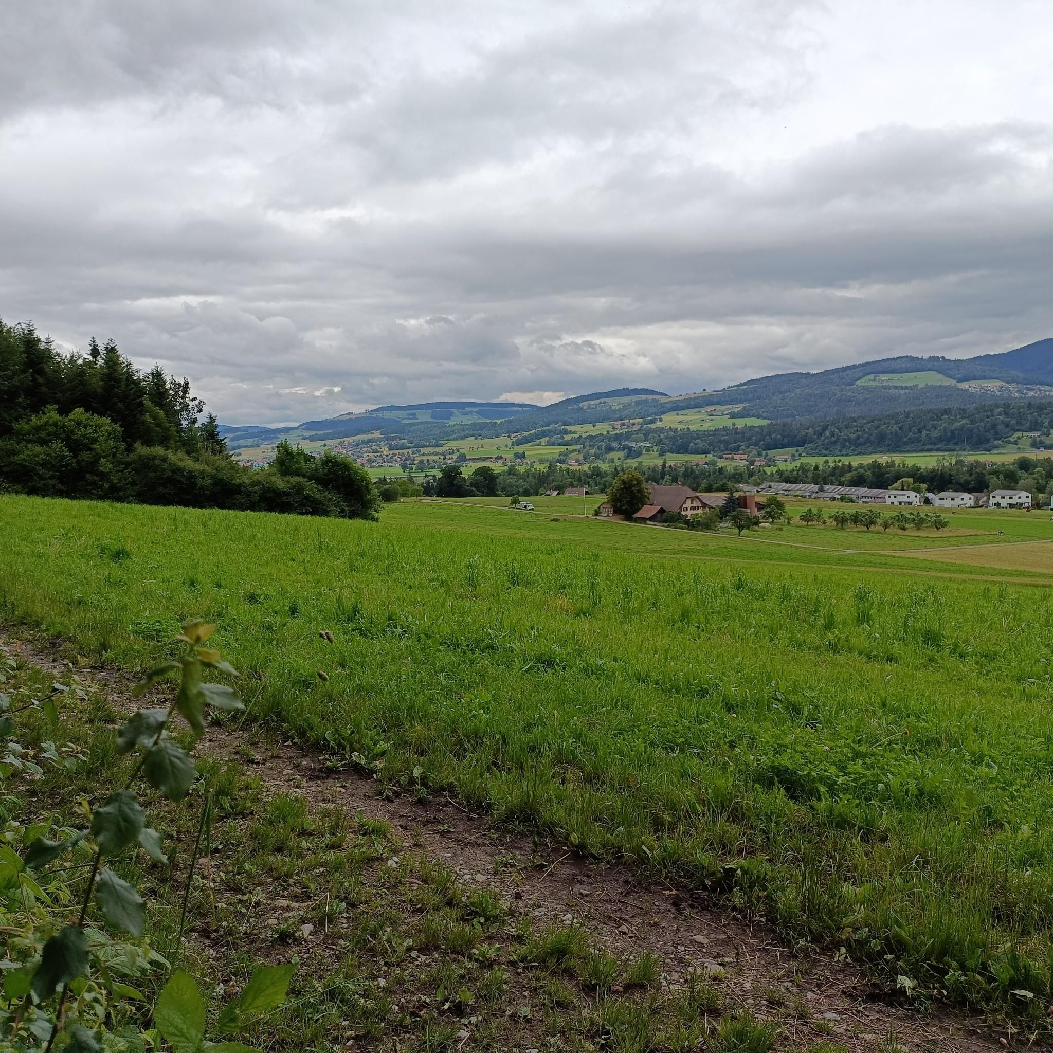
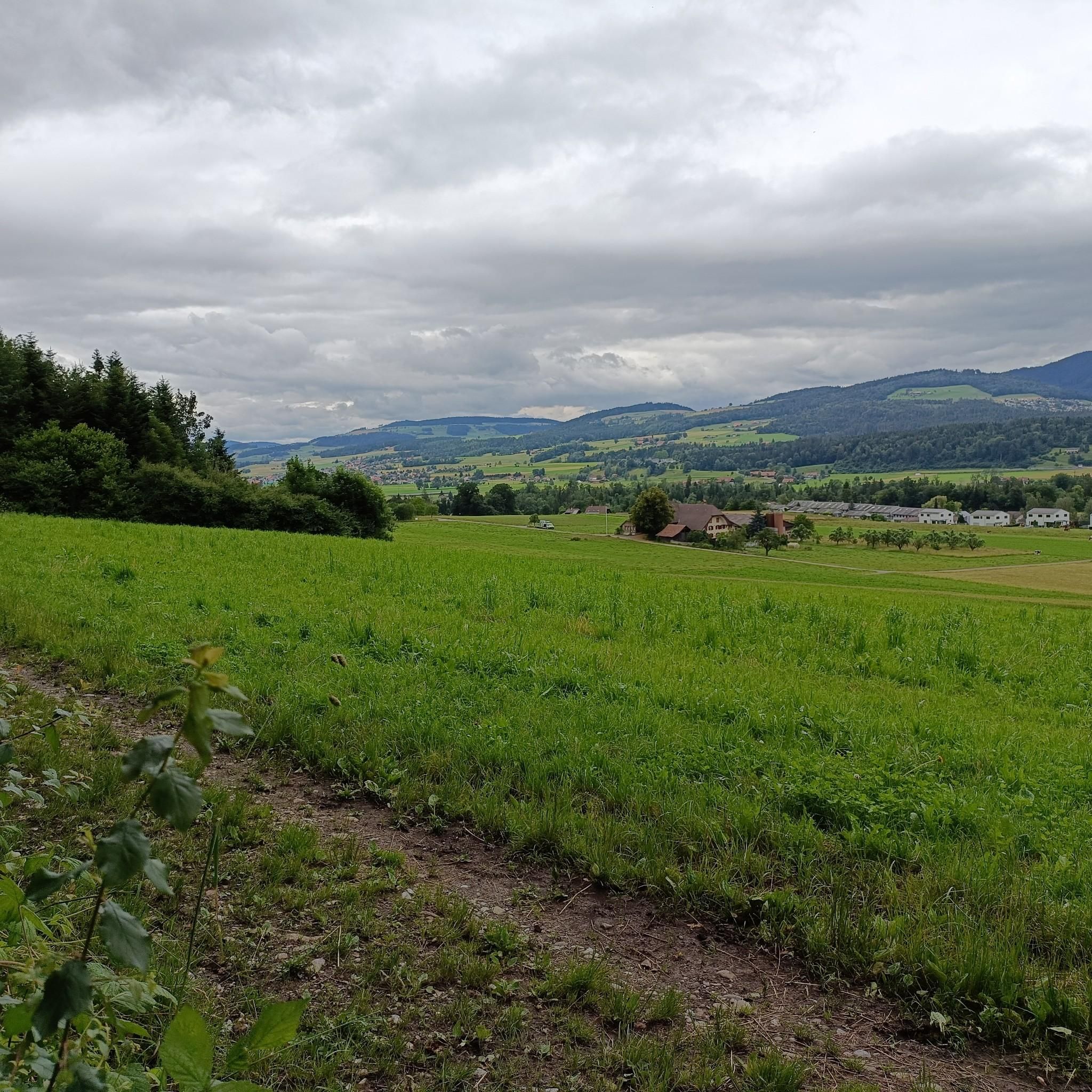
After the ascent from the Aare Valley to Grosshöchstetten, the "dessert" begins with a beautiful descent.
0
0
Relatively little car traffic on this road from Grosshöchstetten towards Münsingen.
0
0

Beautiful tour destination with a great restaurant.
0
0

Only during the week, otherwise there is too much traffic
1
0


A super flat route. However, if you approach from the gravel side, you'll mostly be riding against the wind.
0
0
Lake Gerzensee is privately owned. It's not possible to walk around it. From Kirchdorf, there's a dirt road that leads to a wonderful seating area.
0
0

Lake Gerzen is a lake located between the villages of Gerzensee, Mühledorf, and Kirchdorf in the canton of Bern, Switzerland. Its water level is at an average elevation of 603 meters above sea level. At normal water levels, the lake is approximately 8.5 meters deep on average and reaches a maximum of 11 meters deep, and has a surface area of 0.25 km², making it one of the medium-sized pre-Alpine lakes in Switzerland.
1
0
Frequently Asked Questions
How many road cycling routes are available around Jaberg?
There are over 280 road cycling routes around Jaberg, offering a wide variety of options for different skill levels and preferences. This includes routes ranging from easy to difficult, ensuring there's something for every cyclist.
What kind of terrain can I expect on road cycling routes near Jaberg?
The terrain around Jaberg is quite diverse, characterized by significant elevation changes, scenic valleys, and proximity to Lake Thun. You'll find challenging mountain ascents, undulating paths through agricultural areas, and charming towns. Routes can lead to panoramic viewpoints or traverse the foothills of the Bernese Alps.
Are there any easy road cycling routes suitable for beginners or casual rides?
Yes, Jaberg offers a good selection of routes suitable for beginners. There are over 50 easy road cycling routes available, perfect for those looking for a more relaxed ride through the scenic countryside without significant climbs.
What are some challenging road cycling routes for experienced cyclists?
For experienced cyclists seeking a challenge, Jaberg has over 70 difficult routes. A notable option is the Gurnigel Ascent – View of the Bernese Alps loop from Uttigen, which features a significant climb towards Gurnigel Pass and offers expansive alpine views. Another demanding route is the Schallenberg Pass (1167 m) – View of Hohgant from Schangnau loop from Kiesen, a long-distance ride with substantial elevation gain.
What do other road cyclists enjoy most about cycling in Jaberg?
The road cycling routes around Jaberg are highly rated by the komoot community, with an average score of 4.5 stars from over 850 reviews. Cyclists frequently praise the diverse terrain, the stunning views of the Bernese Alps, and the well-maintained paths that connect charming towns and natural landmarks.
Are there any scenic viewpoints or natural features along the road cycling routes?
Absolutely. Many routes offer breathtaking views. For instance, the Moosegg Viewpoint – Wyl Castle loop from Kiesen combines scenic vistas with historical landmarks. You can also find highlights like the Yellow Bench in Hürnbergwald, which provides a great spot to take in the scenery. The region's proximity to Lake Thun also means many routes offer picturesque lake views.
Can I find routes that pass by historical castles or cultural attractions?
Yes, several routes incorporate historical elements. The Moosegg Viewpoint – Wyl Castle loop from Kiesen passes by Wyl Castle. Other nearby castles you might encounter or plan a route towards include Münsingen Castle and Gerzensee Castle, adding a cultural dimension to your ride.
Are there any family-friendly road cycling options around Jaberg?
While road cycling often involves longer distances and varied terrain, the region does offer over 50 easy routes that could be suitable for families with older children or those looking for less strenuous rides. These routes typically feature gentler gradients and pass through pleasant countryside.
What is the best time of year to go road cycling in Jaberg?
The best time for road cycling in Jaberg is generally from spring through autumn, when the weather is milder and the roads are clear of snow. Summer offers the warmest temperatures, while spring and autumn provide beautiful scenery with fewer crowds. Winter cycling can be challenging due to snow and ice, especially on higher elevation routes.
Are there any long-distance road cycling loops available?
Yes, for those looking for longer rides, Jaberg offers several extensive loops. The Schallenberg Pass (1167 m) – View of Hohgant from Schangnau loop from Kiesen is a significant long-distance option, covering over 100 kilometers and providing a full day's adventure with stunning views.
Can I find routes with panoramic views of the Bernese Oberland?
Absolutely. The region is renowned for its panoramic vistas. The View of the Bernese Oberland – Längenberg Panorama Route loop from Wichtrach is specifically designed to showcase these expansive views, leading you through sections with stunning outlooks over the Bernese Oberland.
Are there any routes that offer views of the Gürbetal valley?
Yes, you can find routes that provide beautiful views of the Gürbetal valley. The Belpberg – View of Gürbetal loop from Wichtrach is a moderate route that specifically highlights the scenic Gürbetal, offering picturesque landscapes throughout your ride.
Most popular attractions around Jaberg

Get inspired with the komoot mobile app


Explore more
Browse the best Road cycling routes in other regions.
