The best cycling routes around Itzgrund
4.5
(5621)
26,717
riders
27
rides
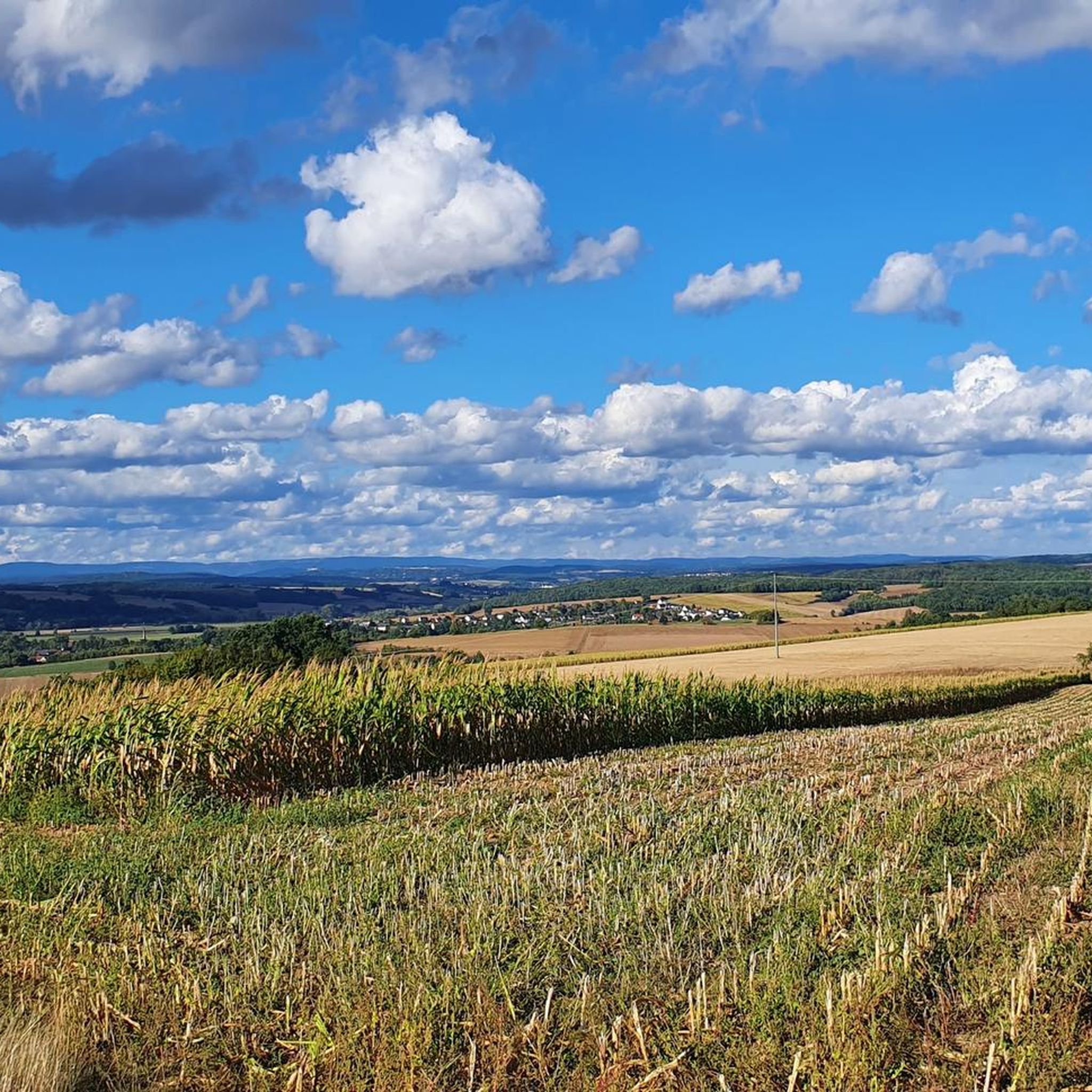
Touring cycling around Itzgrund is characterized by idyllic river landscapes, rolling hills, and green meadows, situated between Coburg and Bamberg. The region features a well-developed network of cycle paths, many of which follow the picturesque Itz River. The diverse topography provides scenic routes for cyclists, with surfaces often paved for comfortable riding. The area also borders the Naturpark Haßberge, offering additional natural environments to explore.
Best touring cycling routes around Itzgrund
- The most popular touring cycling route is Gleußen–Rossach Cycle…
Last updated: September 30, 2026
4.3
(42)
295
riders
61.7km
03:36
290m
290m
Moderate bike ride. Good fitness required. Mostly paved surfaces. Suitable for all skill levels.
4.4
(10)
81
riders
Easy bike ride. Great for any fitness level. Mostly paved surfaces. Suitable for all skill levels.

4.9
(9)
47
riders
Easy bike ride. Great for any fitness level. Mostly paved surfaces. Suitable for all skill levels.
4.0
(2)
13
riders
38.4km
02:24
280m
270m
Moderate bike ride. Good fitness required. Mostly paved surfaces. Suitable for all skill levels.
4.5
(2)
15
riders
24.5km
01:38
250m
250m
Moderate bike ride. Good fitness required. Mostly paved surfaces. Suitable for all skill levels.
Get access to more routes and recommendations from other explorers.
Already have an account?
Our route recommendations are based on thousands of hikes, rides, and runs completed by other people on komoot.
Start today with a free account
Your next adventure awaits.
Tips from the Community

Located directly on the cycle path, you can take a great break here and then continue your journey.
10
0
Schloss Heilgersdorf is located somewhat hidden on the edge of the Seßlach district of Heilgersdorf in the Upper Franconian district of Coburg in Bavaria. The former noble residence was repurposed in the 19th and 20th centuries as a forester's house, school, and refugee camp, but has managed to preserve its representative baroque architectural forms to this day.
11
0

The ensemble within the 14th and 15th century fortification ring developed from the earliest mention of the present settlement around 800. The town parish church of St. Kilian was founded centrally within it even before 1007. In 1130, the settlement received market rights, a good 250 years later full jurisdiction. From 1422, the town's fortifications were built. In 1473, the town burned down, including the parish church and the town hall. In the Thirty Years' War, in 1684, almost the entire place fell prey to the flames again. The symbol of the subsequent reconstruction is the town hall from 1686/87. Of particular importance is the cohesive appearance of the buildings, which is shaped by the reconstruction after the town fire of 1684. These typically include two-storey front houses, often with gables facing the street, featuring decorative half-timbering on the upper floor. In addition to wall remnants, the Bamberger Torturm gate tower, dating back to the 16th century in its core, has been preserved from the town's fortifications.
7
0
The thermal brine bath "Obermain Therme" was opened to bathers on January 1, 1986. At a depth of 1600 meters, Bavaria's warmest and strongest thermal brine had been discovered with an exit temperature of 52 degrees Celsius and a nine percent mineralization. A second drilling in 1993 tapped a 53-degree warm brine with a twelve percent mineralization at a depth of 1180 meters. The spa is divided into the areas of Thermal Bath, Sauna, Wellness, and Health Resort. Every year, almost 800,000 people visit the "Obermain Therme", which is an average of 2000 per day.
8
0

A nice spot here on the Main.
0
0

The Obermain Theme celebrates its 40th anniversary in 2026. For this reason, there is a prize draw. The winning numbers will be announced monthly. The slogan for it: May your luck bubble like Bavaria's warmest thermal brine!
11
0


The Obermaintherme in Bad Staffelstein is an absolute delight in any weather - every visit is like a day at the sea 🌊😉!!! And the Obermaintherme is wonderfully accessible by train 🚆 👍.
1
0
Frequently Asked Questions
What kind of terrain can I expect on touring cycling routes in Itzgrund?
Touring cycling in Itzgrund is characterized by idyllic river landscapes, rolling hills, and green meadows. Many routes follow the picturesque Itz River, offering tranquil rides and scenic views. The paths often feature mostly paved surfaces, making them comfortable for various cycling abilities. The region also borders the Naturpark Haßberge, providing opportunities to explore forests and natural environments.
Are there easy touring cycling routes suitable for beginners or families in Itzgrund?
Yes, Itzgrund offers a good selection of easy routes. Out of 32 touring cycling routes, 15 are graded as easy. For example, the Gleußen–Rossach Cycle Path – Coburg Town Hall loop from Itzgrund is an easy 21.5-mile (34.5 km) trail. Another easy option is the Itz River Cycle Path – Alley cycle path near Medlitz loop from Lahm, which is 10.7 miles (17.2 km) and follows the tranquil Itz River.
What are some notable natural features or viewpoints along the cycling routes?
The Itz River Valley is a central feature, with its meandering course creating attractive scenery. You'll encounter rolling hills and green meadows throughout the region. For expansive views, the nearby Staffelberg offers panoramic vistas over the Bad Staffelstein and Lichtenfels areas. The renatured Itz floodplains also contribute to the area's charm.
Are there any historical sites or cultural attractions to see while cycling in Itzgrund?
Absolutely. The charming medieval town of Seßlach Old Town, with its half-timbered houses, is a picturesque stop. Lahm features a notable Baroque castle (Schloss der Freiherren von Lichtenstein) and the St. Trinity castle church. You can also find the Adelgundis Chapel on the Staffelberg. Further afield, but accessible, are sites like Basilica of the Fourteen Holy Helpers (Basilika Vierzehnheiligen).
What is the best time of year to go touring cycling in Itzgrund?
The best seasons for touring cycling in Itzgrund are spring and summer. During these months, the weather is typically mild, and the landscape is in full bloom, offering the most pleasant conditions for exploring the region's cycle paths.
Are there any circular touring cycling routes in Itzgrund?
Yes, many of the routes in Itzgrund are designed as loops, allowing you to start and end at the same point. For instance, the Linden Square Pavilion – Itz River near Hilkersdorf loop from Itzgrund is a 15.8-mile (25.4 km) circular trail through the Itz River valley.
What do other touring cyclists say about the routes in Itzgrund?
The touring cycling routes in Itzgrund are highly rated by the komoot community, with an average score of 4.5 stars from over 100 reviews. Cyclists often praise the well-developed network of paths, the serene river landscapes, and the comfortable, mostly paved surfaces that make for enjoyable rides.
Are there any more challenging touring cycling routes in the Itzgrund area?
While Itzgrund is known for its gentle terrain, there are a few routes that offer a bit more challenge. Out of the 32 touring cycling routes available, 3 are classified as difficult. For those seeking more adventurous rides, the forest area 'Itzenplitzer Weiher' presents some challenging routes, particularly within the Naturpark Haßberge.
Can I find parking near the touring cycling routes in Itzgrund?
Yes, parking is generally available near the starting points of many touring cycling routes in Itzgrund. Given the region's focus on outdoor activities, local communities and trailheads often provide designated parking areas for cyclists.
Are there options for public transport to access the cycling routes in Itzgrund?
Itzgrund is situated between Coburg and Bamberg, and the region's cycle paths, such as the Rodach-Itzgrund Cycle Path, connect to broader networks like the Main Cycle Path and the Werra-Obermain Cycle Path. This connectivity suggests that public transport options, particularly regional trains or buses, could facilitate access to various starting points for your cycling tours.
Are there any specific long-distance cycle paths that pass through Itzgrund?
Yes, the Rodach-Itzgrund Cycle Path is a significant route that passes through the area. It connects the Main Valley near Rattelsdorf with the Coburg region, traversing the Itz Valley and the foothills of the Hassberge mountains. This path also links to the Main Cycle Path and the Werra-Obermain Cycle Path, offering connections for longer tours.
What is the average length of touring cycling routes in Itzgrund?
The touring cycling routes in Itzgrund vary in length to suit different preferences. For example, the Gleußen–Rossach Cycle Path – Rossach–Großheirath Cycle Path loop from Lahm is 21.5 miles (34.7 km), while the Rossach–Großheirath Cycle Path – Gleußen–Rossach Cycle Path loop from Untermerzbach covers 23.6 miles (38 km). There are shorter and longer options available to match your desired cycling distance.
Most popular attractions around Itzgrund

Get inspired with the komoot mobile app


Explore more
Browse the best Cycling routes in other regions.
