The best waterfall hikes and walks in Berkshire County
4.6
(150)
1,777
hikers
15
hikes
Waterfall hiking trails in Berkshire County, Massachusetts, traverse a landscape characterized by forested hills, scenic valleys, and a subrange of the Appalachian Mountains. The region's geology, shaped over a billion years, contributes to distinctive ridges, and numerous water features. Hikers can explore diverse terrain, from gentle paths alongside streams to more challenging ascents leading to impressive cascades.
Best waterfall hiking trails in Berkshire County
- The most popular waterfall hiking route is Tannery Falls Trail, a 0.6 miles (0.9 km) trail that takes about 17 minutes to complete. This easy path offers direct access to the falls.
- Another top favourite among local hikers is Tannery Falls Trail – Savoy Mount State Forest, a moderate 5.2 miles (8.4 km) path. This route winds through the state forest, offering a longer experience to the falls.
- Local hikers also love the Appalachian Trail: Jug End to Bear Mountain, a 10.3 miles (16.6 km) trail leading through varied mountain terrain, often completed in about 5 hours 34 minutes.
- Hiking in Berkshire County is defined by forested hills, mountain ridges, and numerous waterfalls, offering a wide range of experiences. The network offers options for different ability levels, from easy strolls to challenging mountain ascents.
- The routes in Berkshire County are highly rated by the komoot community with an average score of 4.7 stars from over 120 reviews. More than 1300 hikers have used komoot to explore Berkshire County's varied terrain.
Last updated: August 31, 2026
5.0
(1)
3
hikers
16.6km
05:34
960m
540m
Embark on a challenging journey along the Appalachian Trail: Jug End to Bear Mountain, a difficult 10.3-mile (16.6 km) hike that climbs 3140 feet (957 metres) over approximately 5 hours and 33 minutes. This rugged section winds through diverse landscapes, from the open meadows of Jug End with their sweeping valley views, to dense forests and the steep, rocky ascents of Mount Everett and Mount Race. You'll encounter varied terrain, including root-filled paths and exposed ledges, culminating in the rewarding summit of Bear Mountain, Connecticut's highest peak.
Planning your visit requires preparation for a demanding day; expect steep climbs and descents that can be particularly arduous, especially if wet. Sections near Jug End can be muddy after rain, so appropriate footwear is essential. This point-to-point trail is best tackled by experienced hikers with good fitness, and while specific parking isn't detailed, arranging transportation for both ends is crucial. Consider hiking in late spring for blooming mountain laurel or in the fall for vibrant foliage.
This segment of the Appalachian Trail is notable for its significant summits and the transition from open fields to rugged mountain terrain. It leads to Bear Mountain, which, at 2,323 feet, holds the distinction of being Connecticut's highest peak, offering panoramic views that can stretch to the Catskills. The trail also features unique microclimates supporting alpine vegetation in its summit areas, adding to its natural appeal.
2
hikers
21.4km
06:47
870m
880m
The Bear Mountain and Mount Race via Undermountain and Appalachian Trail is a challenging yet incredibly scenic adventure, taking you through diverse landscapes from open woodlands to exposed ridgelines. You'll encounter areas rich with mountain laurel and dwarf pitch pine, especially near the summits, and be treated to breathtaking panoramic views from Mount Race, including a dramatic sheer drop-off into the valley. Along the way, Sages Ravine offers picturesque waterfalls and a chance for a refreshing dip in warmer months, making it a truly memorable experience.
This difficult 13.3-mile (21.4 km) hike involves a substantial 2869 feet (875 metres) of elevation gain and typically takes around 6 hours and 47 minutes to complete. It's a strenuous route, not recommended for casual hikers, and requires good physical conditioning. Be prepared for varied terrain, including rocky sections and potential water crossings, and always check trail conditions before heading out, especially for ice or high water.
This route stands out for its significant portion along the Appalachian Trail, offering a taste of this celebrated long-distance path. It also includes Bear Mountain, Connecticut's highest peak, and showcases some of Massachusetts's most dramatic scenery around Mount Race. The series of cascades at Race Brook Falls further adds to the natural beauty, making this a prime choice for experienced hikers seeking a rewarding journey with exceptional natural features.

Sign up for free
892m
00:17
40m
40m
The Tannery Falls Trail offers a surprisingly lush, Pacific Northwest-like experience right in Massachusetts. This easy 0.6-mile (0.9 km) hike, with only 132 feet (40 metres) of elevation gain, takes about 17 minutes to complete, making it a perfect short adventure. You'll wander through a mossy, fern-filled forest, serenaded by the sounds of Ross Brook, leading to the impressive 75 to 80-foot Tannery Falls and the 60-foot Parker Brook Falls. The trail's unique atmosphere and concentrated waterfalls make it a rewarding, quick escape into nature.
Planning your visit requires a bit of timing, as the trailhead parking is typically only accessible from June 1st to December 31st due to winter road closures. Be prepared for potentially muddy conditions after rain, and if hiking in colder months, exercise caution on the stairs near the falls, as ice can be present. Dogs are permitted on the trail, provided they remain on a leash. Spring offers the strongest water flow for the falls, while autumn provides stunning foliage.
What makes this trail truly stand out is its
5.0
(5)
17
hikers
21.3km
07:02
1,000m
1,000m
The Greylock in the Round loop trail offers an immersive journey through the highest reaches of Massachusetts, providing an "alpine-style day hike" feel. You'll traverse varied landscapes, from dense spruce-fir forests to exposed, rocky ridges, with the terrain becoming notably uneven at higher elevations. Keep an eye out for potential wildlife like Black Bears and Bobcats, especially around the summit of Mount Williams, as you make your way past scenic spots like Money Brook Falls and Rockwell Pond.
This is a challenging route, so advanced hiking experience and a high level of fitness are essential for tackling the 13.2-mile (21.3 km) distance and significant 3286 feet (1002 metres) of elevation gain. Plan for a full day, as it typically takes around 7 hours and 2 minutes to complete. Start early from the Haley Farm Trailhead Parking and carry plenty of water, as sources can be scarce beyond the summit.
What makes this trail truly stand out is its comprehensive coverage of the region's peaks, including four of the highest points in Massachusetts: Greylock, Saddle Ball, Fitch, and Williams. Sections of the famous Appalachian Trail are incorporated into the route, adding to its allure and historical significance. The reward for your effort is a series of sweeping views from numerous notable landmarks and viewpoints, including the Veterans' War Memorial Tower at the summit of Mount Greylock.
5.0
(1)
13
hikers
8.41km
02:22
170m
170m
Moderate hike. Good fitness required. Easily-accessible paths. Suitable for all skill levels.
Get access to more routes and recommendations from other explorers.
Sign up for free
Already have an account?
Our route recommendations are based on thousands of hikes, rides, and runs completed by other people on komoot.
Start today with a free account
Your next adventure awaits.
Login or Signup
Popular around Berkshire County

Waterfall hikes in Savoy Mountain State Forest

Waterfall hikes in Taconic Trail State Forest

Waterfall hikes in Clarksburg State Forest

Waterfall hikes in Hopkins Memorial Forest

Waterfall hikes in Bash Bish Falls State Park

Waterfall hikes in Savoy Wildlife Management Area

The Appalachian Trail — America's most iconic long-distance hike
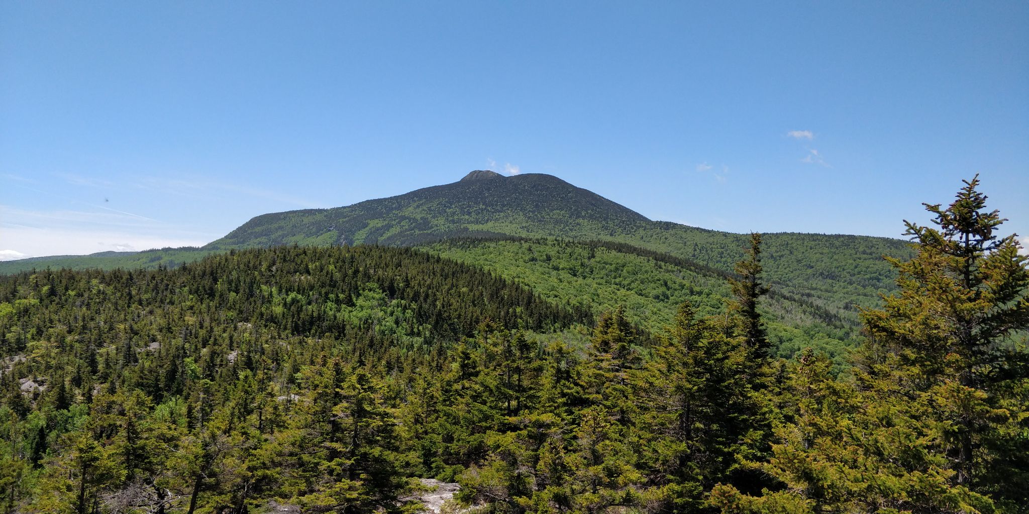
The Long Trail — America's oldest long-distance path

Tips from the Community

Mount Everett (2,602 ft) is one of Massachusetts’ highest peaks. While the Appalachian Trail crosses the summit, you can also reach it via several day-hike options. The shortest route starts from a seasonal dirt road near Guilder Pond, with a steep 0.5-mile trail to the top. For a longer, more scenic approach, the Race Brook Falls Trail climbs past waterfalls and joins the AT south of the summit. Other lesser-used access points include the Elbow Trail and Guilder Pond Trail, which allow for short loops. The rocky, open summit offers panoramic views of the Taconics and Berkshires—especially stunning at sunset or in fall.
0
0

Small shelter at Mount Greylock below the monument there
0
0
A great monument with a magnificent view once you have conquered the stairs. Tip: hike to the summit!
0
0

This is the highest point in Massachusetts. At the summit of Mount Greylock you will find the Veterans War Memorial Tower. The 92ft high tower stands as a beacon for peace, to honour those who died during World War I. You can even walk up the inside of the tower for even better views of the surrounding area.
1
0
Mount Williams is located along the famous Appalachian Trail north of Mount Greylock and is the fourth highest peak in the state at 2,951 feet. From the summit you can see the towns of Williamstown and North Adams as well as Pine Cobble Mountain to the north. At and around the summit you might see local animals like Black Bears, Bobcats, Fishers, Snowshoe Hares, and Red-backed Voles.
0
0
The Bascom Lodge was built in the 1930s at the summit of Mount Greylock. It was managed by the Appalachian Mountain Club for 16 years until 2000 when it came under private ownership. Today you can book a room at the summit of Massachusetts' highest mountain, or if you don't wish to spend the night, you can still enjoy this historic lodge at the cafe, where you can purchase drinks and snacks.
0
0
The Thunderbolt Shelter was built in 1940 as a warming hut for skiers using the Thunderbolt Trail. This historic stone building is currently only used as a winter/emergency shelter for those attempting Mount Greylock during the off-season.
0
0
The Rockwell, or Norman Rockwell, Pond is a small, serene pond located just below the summit of Mount Greylock. There is a historic shack on its banks, which only add to its charm, and is an amazing spot to capture some photographs and enjoy a some quiet away from the often-busy summit.
0
0
Frequently Asked Questions
How many waterfall hiking trails are available in Berkshire County?
There are over 15 dedicated waterfall hiking trails in Berkshire County, offering a diverse range of experiences from easy strolls to challenging mountain ascents. The komoot community has explored these routes over 1300 times, giving them an average rating of 4.7 stars.
Are there any easy waterfall hikes suitable for beginners or families?
Yes, Berkshire County offers several easy waterfall hikes perfect for beginners or families. A great option is the Tannery Falls Trail, which is a short 0.6-mile path providing direct access to the falls. For a slightly longer but still moderate experience, consider the Tannery Falls Trail – Savoy Mount State Forest, which is 5.2 miles and winds through the forest.
What are some of the most impressive waterfalls to visit in Berkshire County?
Berkshire County is home to several stunning waterfalls. Bash Bish Falls in Taconic State Park is Massachusetts' tallest waterfall, featuring a dramatic 59-foot cascade. Race Brook Falls offers a beautiful three-tiered display, often found along a challenging segment of the Appalachian Trail. You can also explore the dramatic cascades at Natural Bridge State Park Waterfalls, which are carved by glacial melt.
What is the best time of year to visit the waterfalls in Berkshire County?
The waterfalls in Berkshire County are beautiful year-round, but spring and fall offer particularly scenic experiences. In spring, snowmelt contributes to a powerful flow, while the fall foliage provides a stunning backdrop to the cascades. Summer offers lush greenery, and even winter can be magical with frozen falls, though trails may be more challenging due to ice and snow.
Are there any circular waterfall walks in the region?
While specific circular routes directly to waterfalls can vary, many trails offer loop options or can be combined to create circular walks. For example, the Tannery Falls Trail – Savoy Mount State Forest provides a longer, more immersive experience that can feel like a loop through the forest to the falls.
What other natural attractions can I explore near the waterfall trails?
Beyond the waterfalls, Berkshire County boasts a wealth of natural attractions. You can visit Cheshire Reservoir or Benedict Pond for serene lake views. For panoramic vistas, consider Olivia's Overlook. The region also features unique geological sites like Natural Bridge State Park with its white marble arch and a 60-foot gorge.
Are the waterfall trails in Berkshire County dog-friendly?
Many trails in Berkshire County, including those leading to waterfalls, are dog-friendly, but it's always best to check specific park or trail regulations before you go. Generally, dogs are welcome on leash in state forests and parks. Ensure your dog is comfortable with varied terrain, as some trails can be rocky or steep.
What should I wear or bring for a waterfall hike in Berkshire County?
For waterfall hikes in Berkshire County, it's advisable to wear sturdy, waterproof hiking boots, as trails can be wet and rocky, especially near the falls. Dress in layers, as weather can change quickly, and bring rain gear. Don't forget water, snacks, a map or GPS, and insect repellent, especially during warmer months.
Are there any challenging waterfall hikes for experienced hikers?
Yes, experienced hikers can find challenging routes that incorporate waterfalls or lead to areas with impressive cascades. The Bear Mountain and Mount Race via Undermountain and Appalachian Trail is a difficult 13.2-mile hike with significant elevation gain, offering rugged terrain and potential waterfall views along the way. Another challenging option is Greylock in the Round, a 13.2-mile difficult route that explores the highest peak in Massachusetts and its surrounding natural features.
Is public transport available to reach waterfall hiking trails?
Public transport options to specific trailheads in Berkshire County can be limited. While some towns have local bus services, reaching more remote waterfall trails often requires personal transportation. It's recommended to check local transit schedules and plan your route accordingly, as many trailheads are best accessed by car.
Where can I find parking for waterfall hikes?
Most state parks and popular trailheads in Berkshire County, including those for waterfall hikes, offer designated parking areas. These can range from small pull-offs to larger parking lots. It's always a good idea to arrive early, especially on weekends or during peak seasons, as parking can fill up quickly at popular spots like Bash Bish Falls or Natural Bridge State Park.
Most popular routes in Berkshire County
Most popular attractions in Berkshire County

Get inspired with the komoot mobile app


Didn’t find what you were looking for?
Check out more Hikes throughout Berkshire County below and find the perfect route in your destination.
Explore more
Browse the best Hikes in other regions.
