The best road cycling routes in Two Ponds National Wildlife Refuge
4.8
(37)
2,157
riders
84
rides
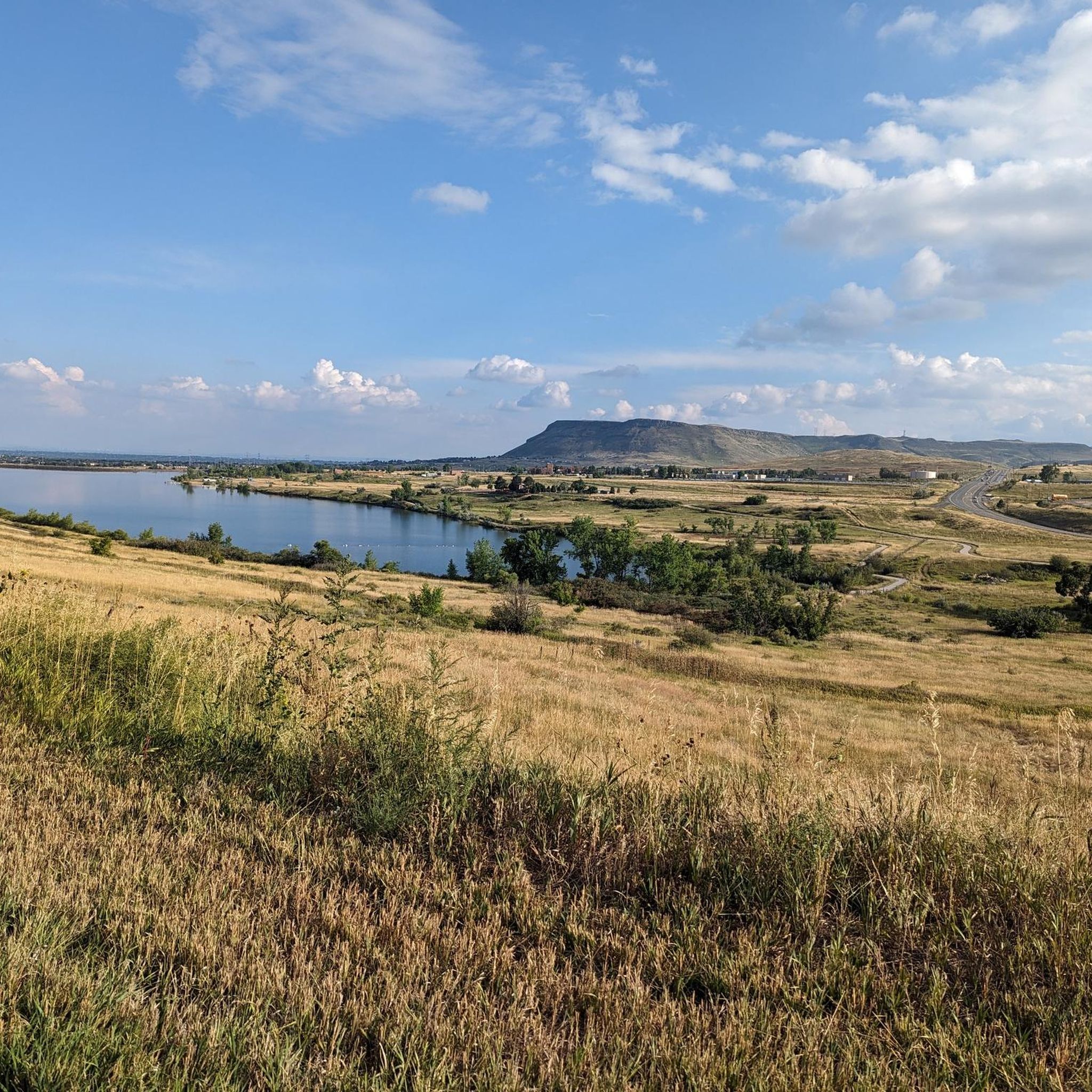
Road cycling routes in Two Ponds National Wildlife Refuge traverse a landscape characterized by open spaces, natural ponds, and gentle rolling terrain. The area offers a mix of paved paths and quiet roads suitable for road cyclists. While not featuring high mountain passes, the routes include gradual ascents and descents across the plains. This environment provides opportunities for wildlife viewing along the way.
Best road cycling routes in Two Ponds National Wildlife Refuge
- The most popular road cycling route is…
Last updated: November 8, 2026
8
riders
Easy road ride. Mostly well-paved surfaces and easy to ride.
6
riders
Easy road ride. Mostly well-paved surfaces and easy to ride.

5
riders
Moderate road ride. Good fitness required. Some segments of this route may be unpaved and difficult to ride.
3
riders
Moderate road ride. Good fitness required. Some segments of this route may be unpaved and difficult to ride.
5.0
(1)
40
riders
Moderate road ride. Some segments of this route may be unpaved and difficult to ride.
Get access to more routes and recommendations from other explorers.
Already have an account?
Our route recommendations are based on thousands of hikes, rides, and runs completed by other people on komoot.
Start today with a free account
Your next adventure awaits.




Tips from the Community

Nice and easy ride miss this trail a lot since relocating to Denver
0
0

The US36 Bikeway is a well-maintained route connecting Boulder and Denver. This is a wide section of the path going under Sheridan Boulevard Bridge.
0
0

Nice spot to view the lake and for birding. Great Blue Herons nest in the Cottonwoods in the spring and lots of migratory ducks in the spring and fall.
0
0
Great place for a rest stop, good selection of Colorado micro-brews and often a food truck.
0
0
There's a nice bench here to take in the view.
0
0
There's a nice bench here to take it all in.
0
0

The Big Dry Creek Trail is located in Westminster and spans 12 miles from Interstate 25 to Standley Lake. The multi-use trail features a mostly flat terrain with occasional moderate uphill, passing through open spaces, parks, and neighborhoods. It includes a short on-road section near 99th Street and connects to the US 36 Bikeway, which links Denver and Boulder. Due to the Big Dry Creek stream bank restoration project, there will be periodic closures through fall 2024, and a section will remain closed through summer 2025, with detours available.
1
0

Extending over 13 miles in one direction, the Big Dry Creek Trail is a popular option for locals in the Broomfield area. The path connects to a load of parks and other trails in the rural trail network, and it's open to a bunch of different trail users, so you'll likely see others on the path while out for your jog.
0
0
Frequently Asked Questions
What types of road cycling routes can I find in Two Ponds National Wildlife Refuge?
Two Ponds National Wildlife Refuge offers a variety of road cycling routes, characterized by open spaces, natural ponds, and gentle rolling terrain. You'll find a mix of paved paths and quiet roads suitable for different skill levels, from easy loops to moderate challenges.
How many road cycling routes are available in Two Ponds National Wildlife Refuge?
There are over 80 road cycling routes available in Two Ponds National Wildlife Refuge, catering to various preferences and skill levels.
Are there routes suitable for beginners or families in Two Ponds National Wildlife Refuge?
Yes, the refuge has many easy routes perfect for beginners and families. For example, the Colorado Tap House loop from Arvada High School is an easy 13.9 km ride with minimal elevation gain, offering a pleasant experience for all.
What is the typical length and duration of road cycling routes in the refuge?
Route lengths vary, but many popular options range from 19 to 35 kilometers. For instance, the Walnut Creek Open Space – Broomfield County High Point loop from Two Ponds National Wildlife Refuge is 30.7 km and typically takes about 1 hour 27 minutes, while the Parkview Pond – Lower Twin Lake loop from Pomona High School is 34.5 km and takes around 1 hour 48 minutes.
Are there any challenging routes for advanced road cyclists?
While the terrain is generally gentle, there are routes that offer more moderate challenges. Approximately 13 routes are classified as difficult, providing longer distances and more varied elevation changes for experienced riders.
What kind of scenery can I expect while road cycling in Two Ponds National Wildlife Refuge?
You can expect scenic stretches along water features, through open fields, and past natural ponds. The routes offer open views across the plains, providing opportunities for wildlife viewing in a tranquil setting.
Are there loop trails available for road cycling?
Yes, many of the road cycling routes in Two Ponds National Wildlife Refuge are designed as loops. Examples include the Broomfield County High Point – Walnut Creek Open Space loop from Arvada and the Westminster Station Pond – Clear Creek loop from Pomona High School, allowing you to start and end at the same point.
What is the best season for road biking in Two Ponds National Wildlife Refuge?
The refuge is generally accessible for road cycling throughout the warmer months, from spring through fall, when the weather is mild and the paths are clear. Always check local weather conditions before heading out, especially during shoulder seasons.
What do other road cyclists enjoy most about the routes here?
The routes in Two Ponds National Wildlife Refuge are highly rated by the komoot community, with an average score of 4.7 stars. Reviewers often praise the open views, the gentle terrain suitable for various skill levels, and the opportunities for wildlife viewing along the quiet paths.
Are there facilities like restrooms or cafes near the road cycling routes?
While the refuge itself focuses on natural preservation, routes often pass through or near suburban areas where amenities like restrooms and cafes can be found. It's advisable to plan your stops and carry sufficient water and snacks, especially on longer rides.
Is parking available for road cyclists visiting Two Ponds National Wildlife Refuge?
Parking is typically available at various access points and trailheads surrounding the refuge, often near the starting points of popular routes. Specific parking information can usually be found on individual route descriptions on komoot.
Most popular routes in Two Ponds National Wildlife Refuge

Get inspired with the komoot mobile app


Explore more
Browse the best Road cycling routes in other regions.
