The best MTB trails in North Pennines AONB
4.4
(76)
377
riders
52
rides
Mountain biking in North Pennines AONB offers diverse terrain across a designated Area of Outstanding Natural Beauty. The region is characterized by expansive open moorland, rolling fells, and deep, secluded valleys carved by rivers. Riders can expect varied elevations, from gentle riverside paths to challenging climbs over high ground. This landscape provides a range of mountain bike trails suitable for different skill levels.
Best mountain bike trails in North Pennines AONB
- The most popular mountain bike trail is Blanchard Moor & Edmundbyers Common loop, a 17.8 miles (28.7 km) trail that takes 2 hours 18 minutes to complete. This moderate route traverses open moorland and common land.
- Another top favourite among local mountain bikers is High Cup Nick and Great Dun Fell Loop, a difficult 35.5 miles (57.2 km) path. This route features significant climbs and expansive views across fells.
- Local mountain bikers also love the Tan Hill and Rogan's Seat loop — Yorkshire Dales, a 24.4 miles (39.3 km) trail leading through high moorland and remote landscapes, often completed in about 3 hours 48 minutes.
- Mountain biking in North Pennines AONB is defined by open moorland, river valleys, and challenging fells. The network offers options for different ability levels, from easy mountain bike trails to advanced routes.
- The routes in North Pennines AONB are highly rated by the komoot community with an average score of 4.4 stars from over 70 reviews. More than 400 mountain bikers have used komoot to explore North Pennines AONB's varied terrain.
Last updated: September 27, 2026
4.5
(13)
52
riders
28.7km
02:18
430m
440m
Embark on the Blanchard Moor & Edmundbyers Common loop, a moderate mountain biking adventure spanning 17.8 miles (28.7 km) with a total elevation gain of 1419 feet (432 metres). You will navigate diverse terrain, from open moorland tracks to old lead mining routes, enjoying expansive views across the North Pennines. Look out for the prominent Jeffries and Sikehead chimneys, historical markers that punctuate the wild beauty of Blanchland Moor, making for a rewarding ride that takes about 2 hours and 18 minutes to complete.
This challenging route demands good fitness and advanced riding skills, so be prepared for steep climbs and descents. You might encounter boggy ground, especially on moorland sections, and may even need to push your bike at times. While specific parking details are not provided, the area is generally accessible for outdoor activities, but always check local conditions before you head out.
The trail offers a deep dive into the historical landscape of the North Pennines, a region rich with lead mining heritage. As you ride, you will trace paths used by miners of old, experiencing the rugged environment that shaped their lives. This loop stands out for its blend of natural beauty and industrial history, providing a unique perspective on the area's past.
17
riders
57.2km
04:42
1,160m
1,160m
Tackle the High Cup Nick and Great Dun Fell Loop, a difficult mountain biking route that spans 35.5 miles (57.2 km) through the dramatic North Pennines. You will climb 3790 feet (1155 metres) over an estimated 4 hours and 42 minutes, experiencing wild, open moorland. The route brings you to High Cup Nick, a striking U-shaped glaciated valley with impressive dolerite crags. Further along, you will reach Great Dun Fell, marked by its distinctive radar station, offering wide views across the Eden Valley. This challenging ride provides a rewarding experience for experienced mountain bikers. Prepare for exposed conditions on this loop, as it crosses high moorland where weather can change quickly. Strong winds are common, especially around Great Dun Fell, so check the forecast before you go. Some sections of the trail can be boggy, and steep parts require extra caution, particularly if the ground is wet or foggy. Ensure you carry appropriate gear for a challenging mountain biking day. This route showcases the iconic North Pennines scenery, known for its unique geology and expansive vistas. The U-shaped valley of High Cup Nick is a prime example of glacial erosion, carved into the dolerite sill. The radar station on Great Dun Fell adds a distinctive man-made landmark to the natural beauty, providing a clear navigational point and panoramic views on clear days.

4.0
(1)
5
riders
39.3km
03:48
970m
970m
Get ready for a difficult mountain biking adventure on the Tan Hill and Rogan's Seat loop, a challenging 24.4-mile (39.3 km) ride through the rugged Yorkshire Dales. This route packs in 3188 feet (972 metres) of elevation gain, taking around 3 hours and 48 minutes to complete for experienced riders. You'll navigate a mix of unpaved and natural surfaces, including extensive singletrack, as you traverse rolling hills and vast open moorland. A highlight is reaching the historic Tan Hill Inn, Britain's highest pub, offering a rewarding stop amidst the dramatic scenery.
This loop demands advanced riding skills and very good physical fitness, so come prepared for a tough day in the saddle. Some sections are so challenging you might even need to push your bike. If you're looking for a formidable yet rewarding experience that tests your limits, this trail is for you. Ensure your bike is in top condition and you carry all necessary supplies, as parts of the route feel remote and wild.
The area is rich in history, with old lead mine workings and spoil heaps visible along the way, hinting at the region's industrial past. Beyond the challenging climbs and technical descents, you'll encounter picturesque water features like Wain Wath Force and East Gill Force. The trail offers a true sense of solitude and immersion in the wilderness of North Yorkshire, making it a standout mountain biking destination in the Northern Dales.
4
riders
Get ready for a challenging mountain biking adventure on the Allendale Common & Whitley Chapel loop. This moderate 18.5-mile (29.8 km) route demands good fitness and advanced riding skills, with an estimated duration of 2 hours and 21 minutes. You will climb 1703 feet (519 metres) through varied terrain, including open moorland and rutted bridleways, offering expansive views of the North Pennines and Northumberland countryside. Look for the Moorland Crossroads Signpost, a key navigational point, as you traverse this picturesque landscape.
Planning your ride, you should know the starting point in Allendale Town is conveniently located next to a parking lot. The trail features a mix of paved sections, unpaved paths, gravel, and some natural ground, with some steep, technical climbs up grassy hills. While a rigid bike is feasible, suspension can be beneficial for the varied surfaces. Be aware that the terrain's rideability can change, especially during winter months, so plan your visit accordingly.
This loop is a top favorite among local mountain bikers, celebrated for its exploration of moorland landscapes within the North Pennines Area of Outstanding Natural Beauty. As you ride, you will encounter traces of the region's rich industrial heritage, including old lead smelting mills and extensive flue systems dating from Roman times through the 19th century. These historical elements add a unique dimension to your ride through this popular and challenging route.
1.0
(1)
2
riders
44.7km
04:14
970m
970m
Hard mountain bike ride. Very good fitness required. Advanced riding skills necessary.
Get access to more routes and recommendations from other explorers.
Already have an account?
Our route recommendations are based on thousands of hikes, rides, and runs completed by other people on komoot.
Start today with a free account
Your next adventure awaits.
Popular around North Pennines AONB
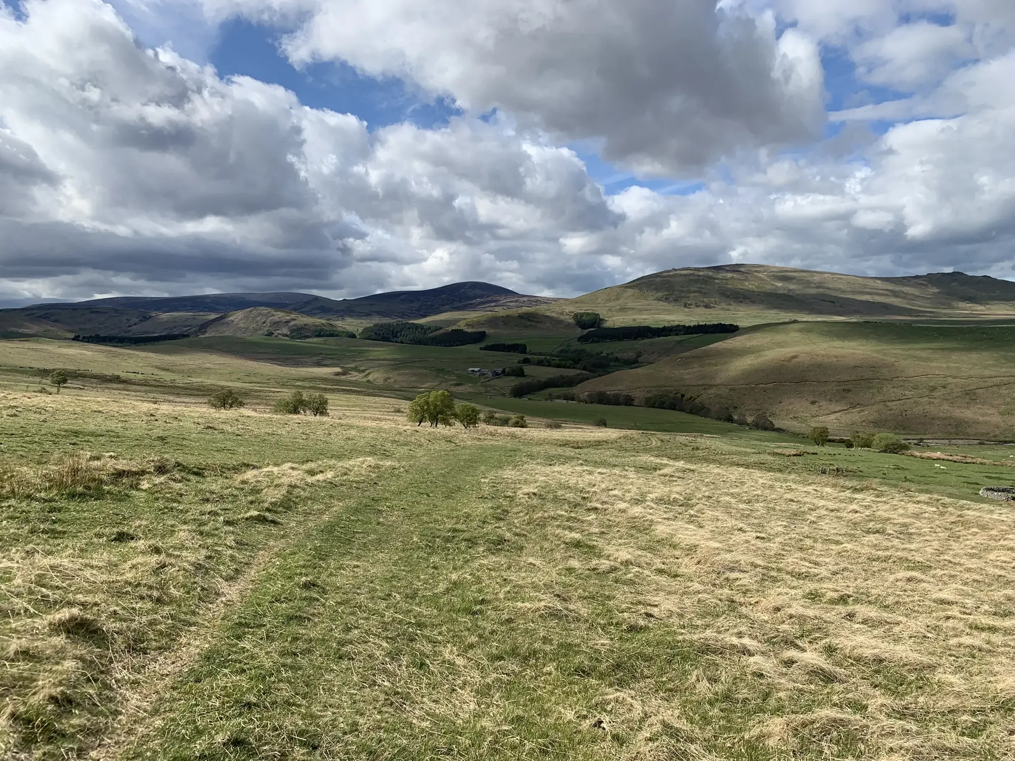
Mountain biking in the remote borderlands of Northumberland
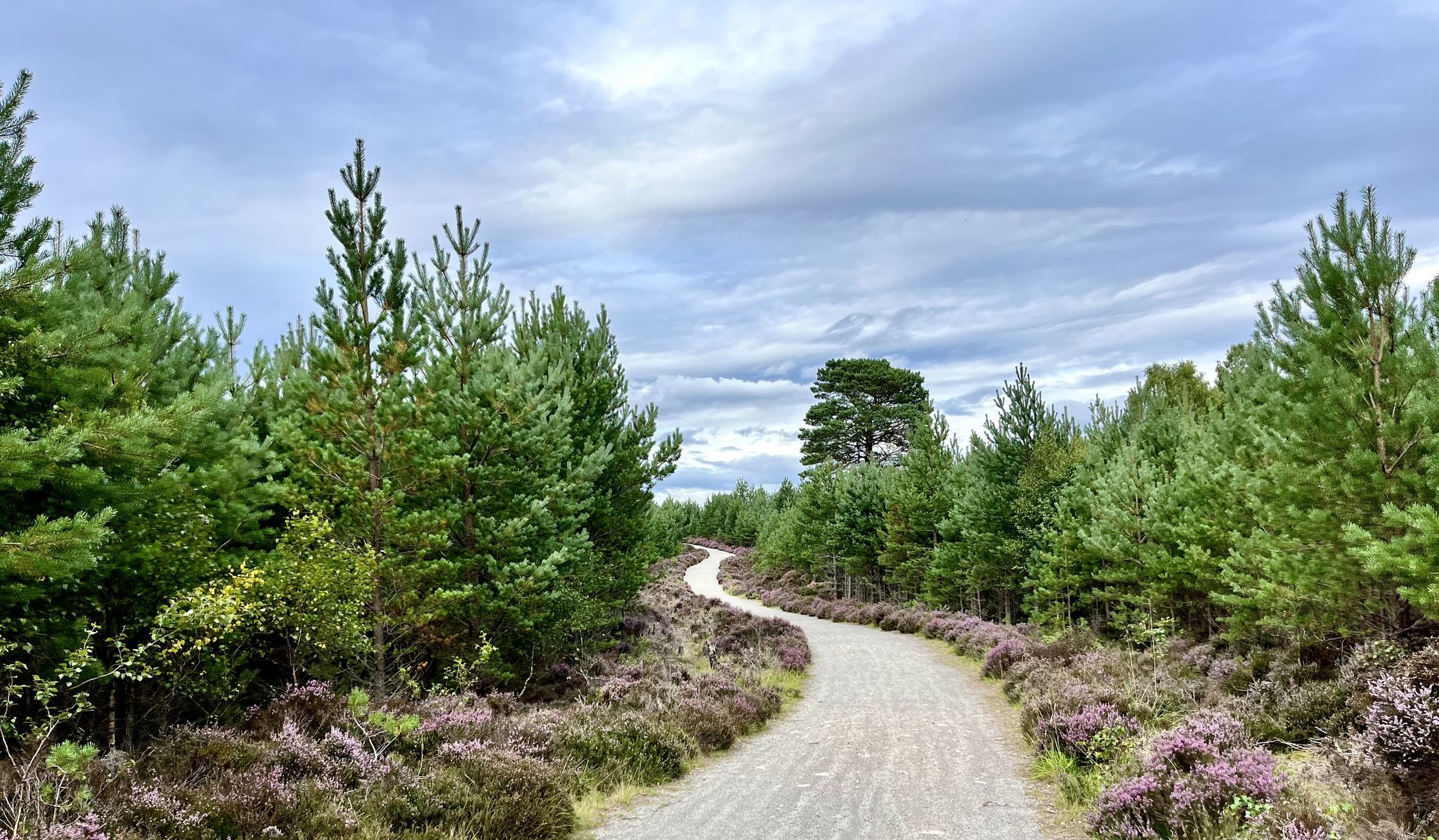
National Cycle Network Route 7 – Sunderland to Inverness
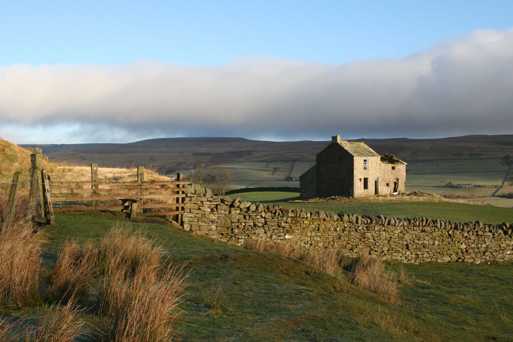
Weardale Way — Hike from the North Sea to the wild Pennines
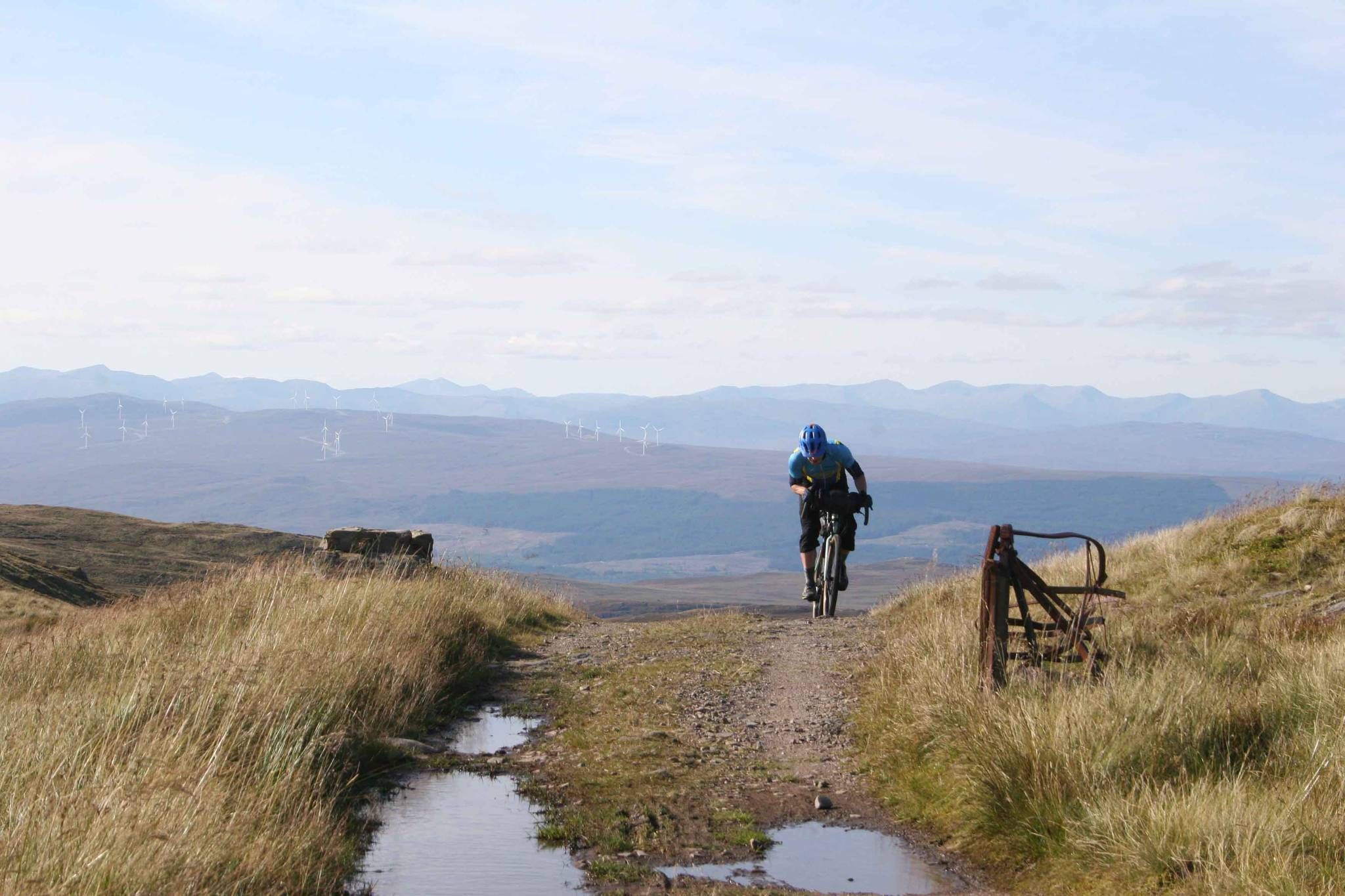
GB Divide — Great Britain end to end off-road on GBDURO
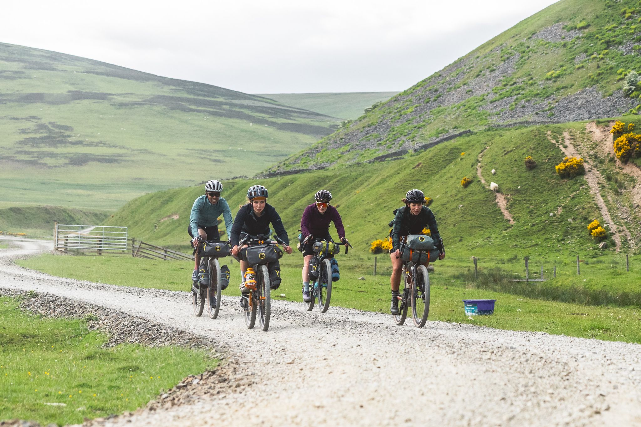
The Pennine Rally — Bikepacking Edinburgh to Manchester
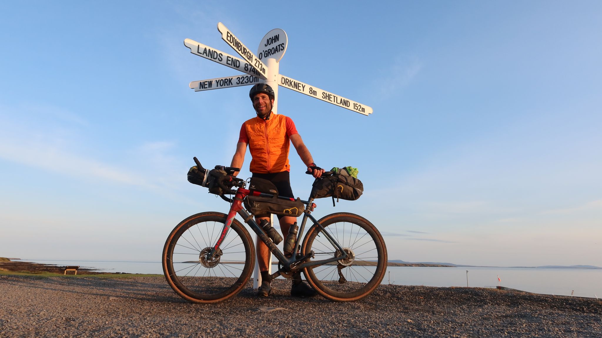
GBDURO 2021 — Gravel racing Land's End to John O'Groats
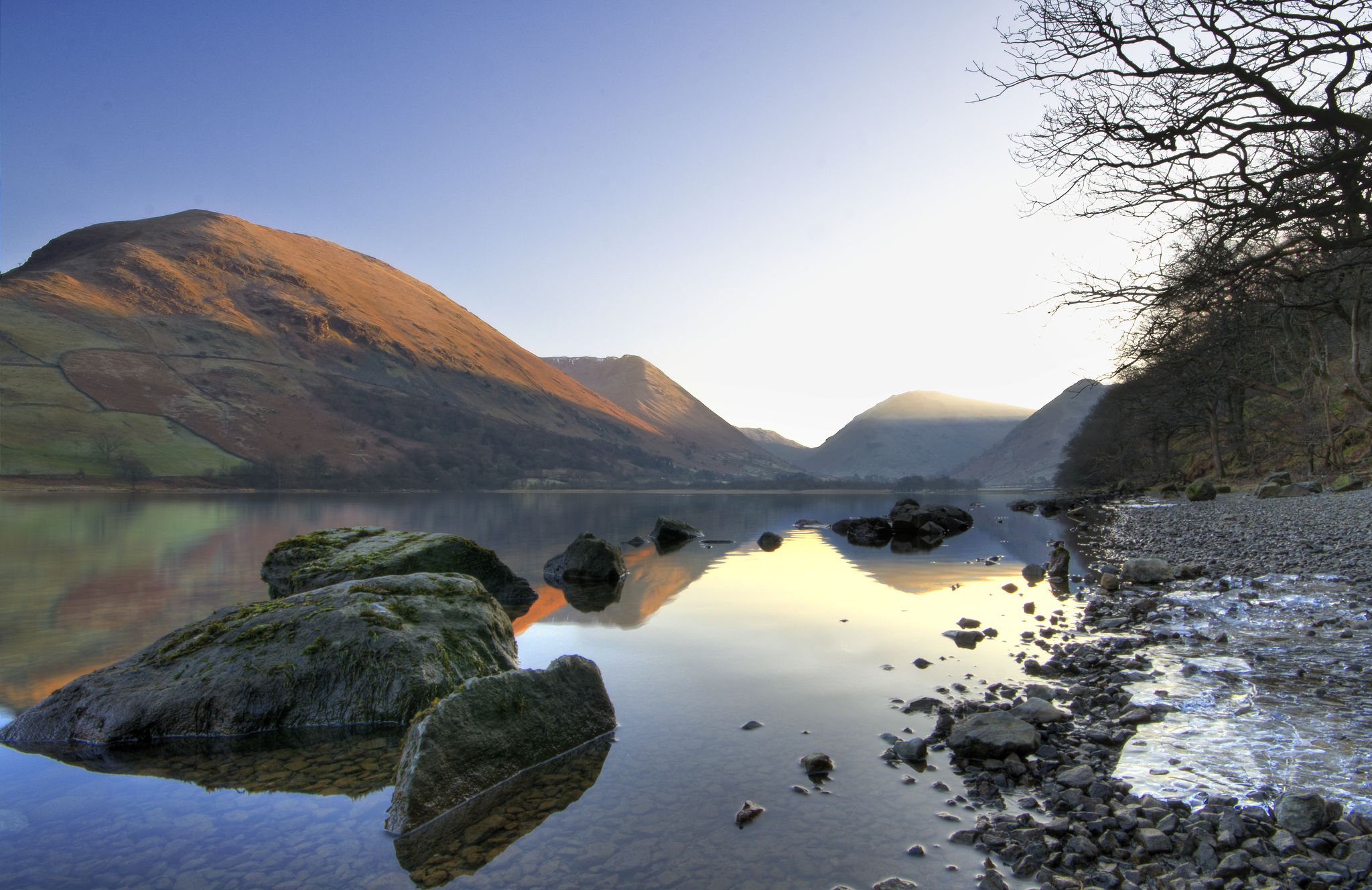
Lake to Lake Walk — Windermere to Kielder across the beautiful North
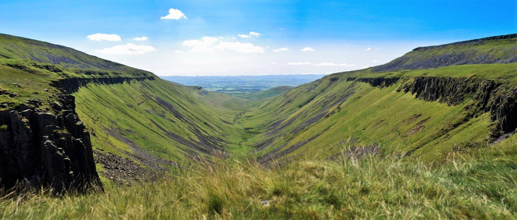
Teesdale Way — A riverside hike from wild Pennines to the North Sea
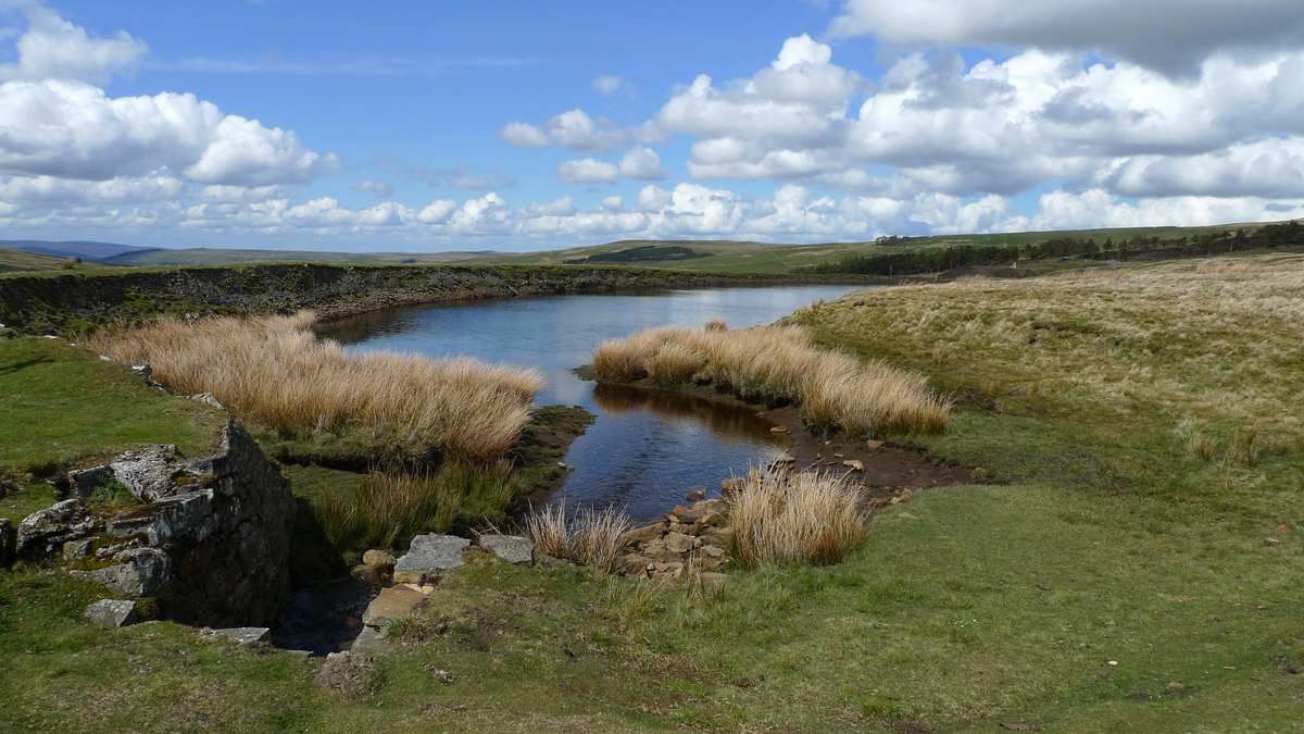
Isaac's Tea Trail — Walk the wild serenity of the North Pennines
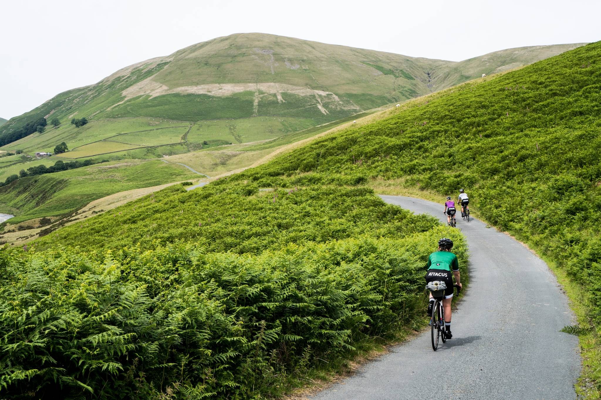
Pennine Cycleway – An epic adventure along the UK's toughest ride
Other adventures in North Pennines AONB


Tips from the Community

This area is set in a valley with very steep steps taking you down to the river and the underside of the viaduct. You have to carry the bike down the steps. There are some narrow rugged single tracks to make your way around, once through you get an excellent view looking up at Lambley Viaduct arches
0
0

If you have a full hour to hike down from the 4km from the top until the gravel road and don't mind getting wet feet a muddy bike then this is 100% worth it! Otherwise, you might be better off avoiding...
1
0

Fantastic if you love being out in the open fells, great views in every direction and you are most certainly going to have it all to yourself.
0
0
Crossing Blanchland Moor is a great experience if you enjoy wide open landscapes. The scenery is rugged and peaceful with big skies and miles of moorland. A brilliant place to hike and enjoy the quiet of the Northumberland countryside.
0
0

North west and South west directions are decent stony tracks, leading to roads down to the Allen valley. SouthEast gets you to the ridable bit of Long Drag and down to Riddlehamhope.
0
0
If starting at the north east end, it doesnt look too bad at the start. However, once past that, its very hard to ride. Path is either super narrow or indistinguishable. The heather will snag pedals and gears. There's a significant hike a bike element.
0
0

Went North to South, had a fair old headwind which was tricky. The stones are fairly big in places and some soft loamy sand sections. I rode on 2.1" tyres, could be interesting on narrower gravel bike widths
0
0
Frequently Asked Questions
How many mountain bike trails are available in North Pennines AONB?
There are over 50 mountain bike trails recorded in North Pennines AONB on komoot, offering a wide range of experiences across the region's diverse landscape.
Are there mountain bike trails suitable for beginners or families in North Pennines AONB?
Yes, North Pennines AONB offers 8 easy mountain bike trails that are generally suitable for beginners or families looking for a less strenuous ride. These routes often follow gentler terrain along river valleys or through more sheltered areas.
What kind of terrain can I expect on mountain bike trails in North Pennines AONB?
The terrain in North Pennines AONB is highly varied, characterized by expansive open moorland, rolling fells, and deep, secluded valleys. You'll encounter everything from gentle riverside paths to challenging climbs over high ground, with surfaces ranging from gravel tracks to rocky bridleways.
Are there any challenging mountain bike trails for advanced riders?
Absolutely. North Pennines AONB features 8 difficult mountain bike trails designed for experienced riders. Routes like the High Cup Nick and Great Dun Fell Loop, covering 35.5 miles with significant elevation, offer demanding climbs and technical descents across fells.
Can I find circular mountain bike routes in North Pennines AONB?
Yes, many of the mountain bike trails in North Pennines AONB are circular, allowing you to start and finish at the same point. An example is the Blanchard Moor & Edmundbyers Common loop, a moderate 17.8-mile route traversing open moorland.
What are some interesting natural attractions or landmarks to see while mountain biking?
The North Pennines AONB is rich in natural beauty. Along your rides, you might encounter impressive features like the dramatic High Cup Nick gorge, the powerful High Force Waterfall, or the majestic Cauldron Snout Waterfall. The region also boasts several prominent peaks, including Cross Fell Summit.
What is the best time of year for mountain biking in North Pennines AONB?
The best time for mountain biking in North Pennines AONB is generally from late spring to early autumn (May to October). During these months, the weather is usually milder, and the trails are drier. Winter riding can be challenging due to snow, ice, and rapidly changing weather conditions on the exposed fells.
Are there any mountain bike routes that pass by traditional pubs?
While specific routes aren't always designed around pub stops, many trails pass through or near villages where traditional pubs can be found. For example, the Tan Hill and Rogan's Seat loop passes by the highest pub in Britain, offering a unique refreshment stop.
What should I wear for mountain biking in North Pennines AONB?
Given the often exposed and changeable weather in the North Pennines, layering is key. Always bring waterproof and windproof outer layers, even on sunny days. Padded shorts, a wicking base layer, and sturdy mountain biking shoes are recommended. Don't forget a helmet, gloves, and eye protection.
What do other mountain bikers enjoy most about the trails in North Pennines AONB?
The trails in North Pennines AONB are highly rated by the komoot community, with an average score of 4.4 stars. Riders frequently praise the stunning, expansive views, the challenging and varied terrain, and the sense of remoteness and wildness found on many of the routes. The well-maintained bridleways and quiet paths are also often highlighted.
Are there any less-known or 'hidden gem' mountain bike trails in the area?
While many routes offer a sense of solitude, for a less-trafficked experience, consider exploring trails in the more remote eastern parts of the AONB. The Castle Carrock to Lambley Viaduct via Simmerson Hill route, for instance, offers a challenging ride through beautiful, less-frequented landscapes.
What kind of wildlife might I encounter while mountain biking in North Pennines AONB?
The North Pennines AONB is a haven for wildlife. You might spot various bird species, including curlews, lapwings, and red grouse on the moorlands. Keep an eye out for red squirrels in wooded areas and, if you're lucky, you might even see roe deer or stoats. Please remember to ride responsibly and respect the natural habitat.
Most popular routes in North Pennines AONB
Most popular attractions in North Pennines AONB

Get inspired with the komoot mobile app


Explore more
Browse the best MTB trails in other regions.
