The best MTB trails in Loch Lomond Recreation Area
4.9
(110)
778
riders
29
rides
Mountain biking in Loch Lomond Recreation Area offers diverse terrain across its varied landscape. The region features a mix of redwood forests, open ridge lines, and parkland, providing a range of natural environments for cyclists. Trails often traverse rolling hills and can include sections near reservoirs, characteristic of the Santa Cruz County area. The elevation changes provide both challenging climbs and rewarding descents.
Best mountain bike trails in Loch Lomond Recreation Area
- The most popular mountain bike trail is Bay…
Last updated: November 7, 2026
5.0
(17)
40
riders
34.8km
03:24
800m
800m
Moderate mountain bike ride. Good fitness required.
4.8
(38)
72
riders
25.8km
02:30
600m
600m
Moderate mountain bike ride. Good fitness required.

5.0
(6)
30
riders
Moderate mountain bike ride. Good fitness required.
5.0
(13)
148
riders
Moderate mountain bike ride. Good fitness required.
4.5
(10)
119
riders
42.0km
03:26
720m
720m
Moderate mountain bike ride. Good fitness required.
Get access to more routes and recommendations from other explorers.
Already have an account?
Our route recommendations are based on thousands of hikes, rides, and runs completed by other people on komoot.
Start today with a free account
Your next adventure awaits.

Tips from the Community

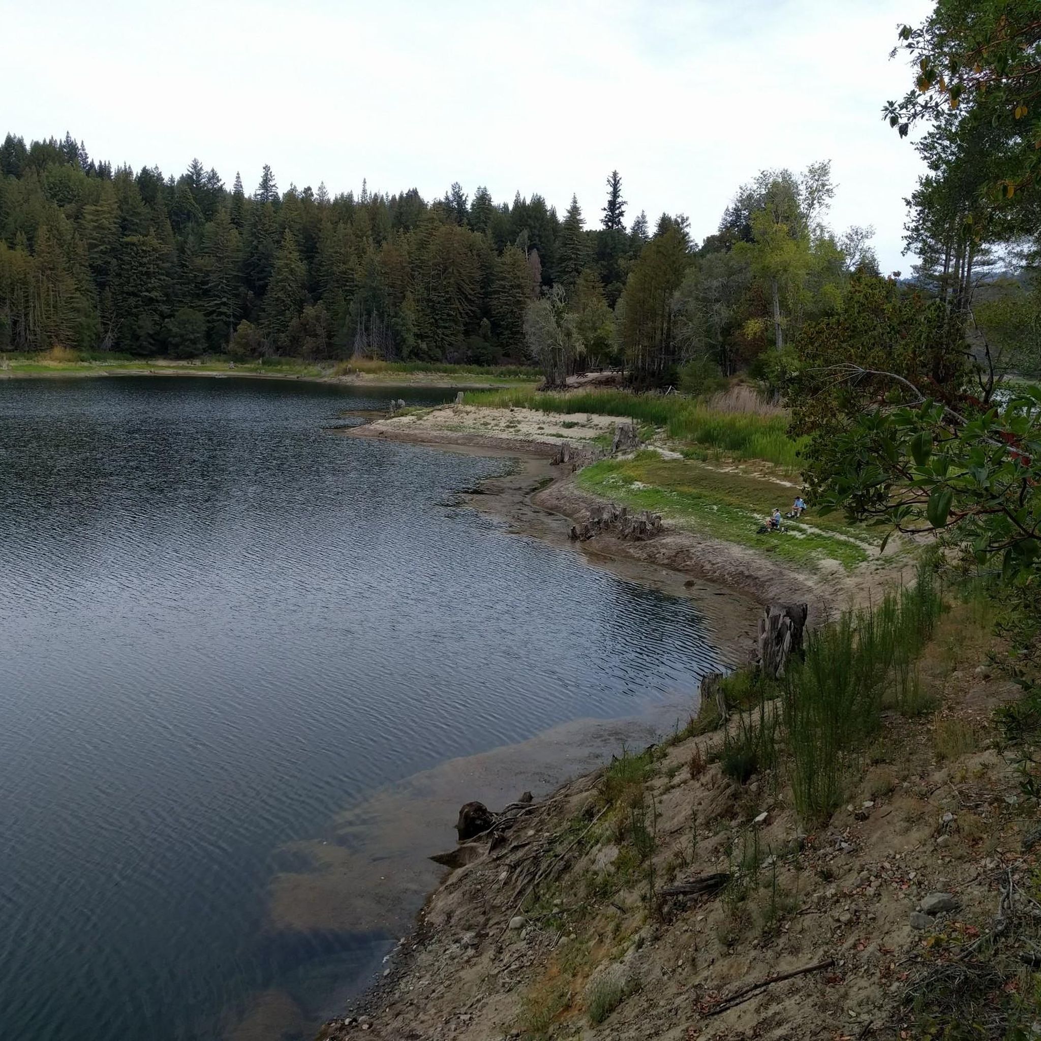
The Lake Ranch Reservoir is nice and peaceful to run, walk, hike, or bike along. There is a picnic table on the north side of the pond that you could rest at. Since the water is in a small valley, you may want to bring bug spray in the spring/summer months.
0
0

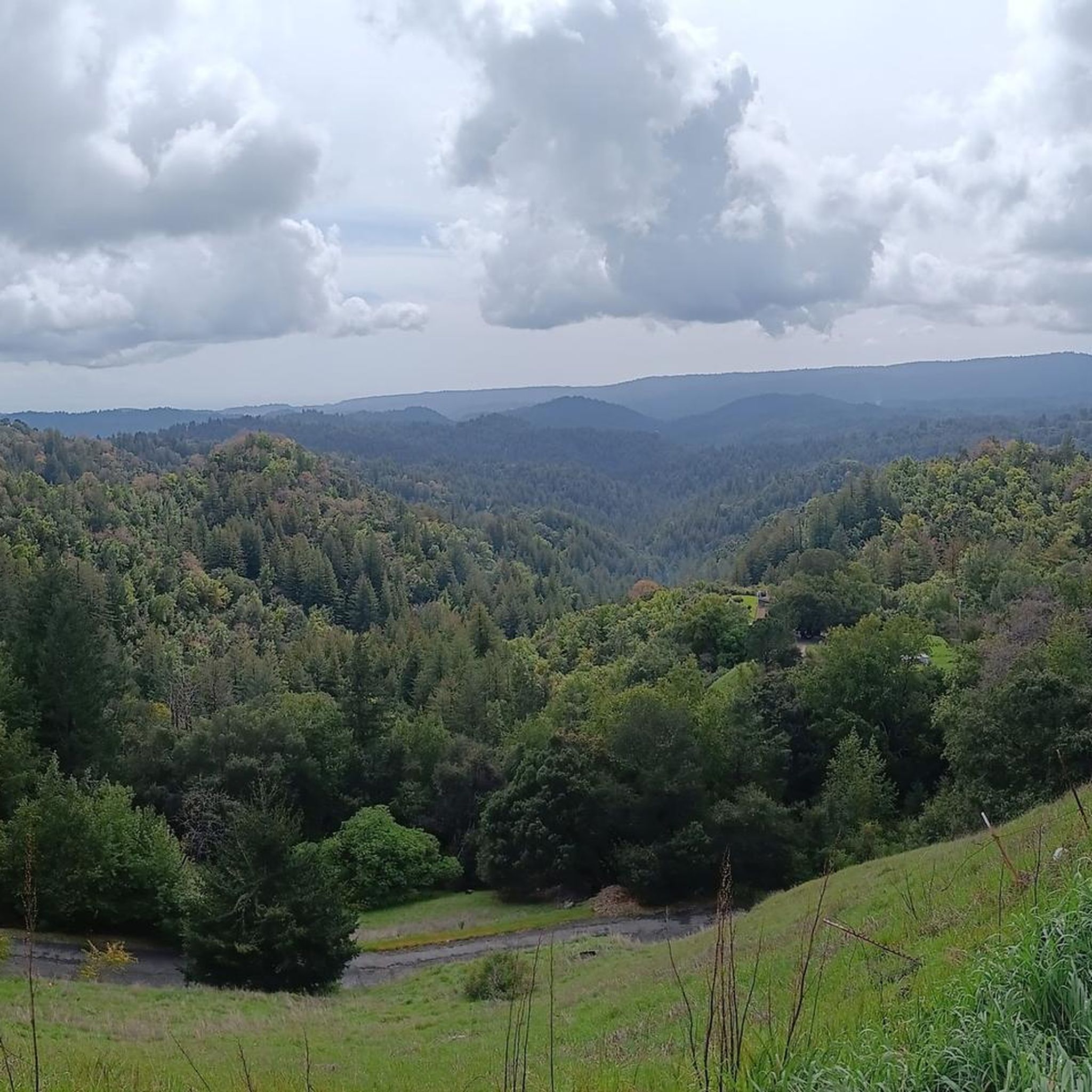
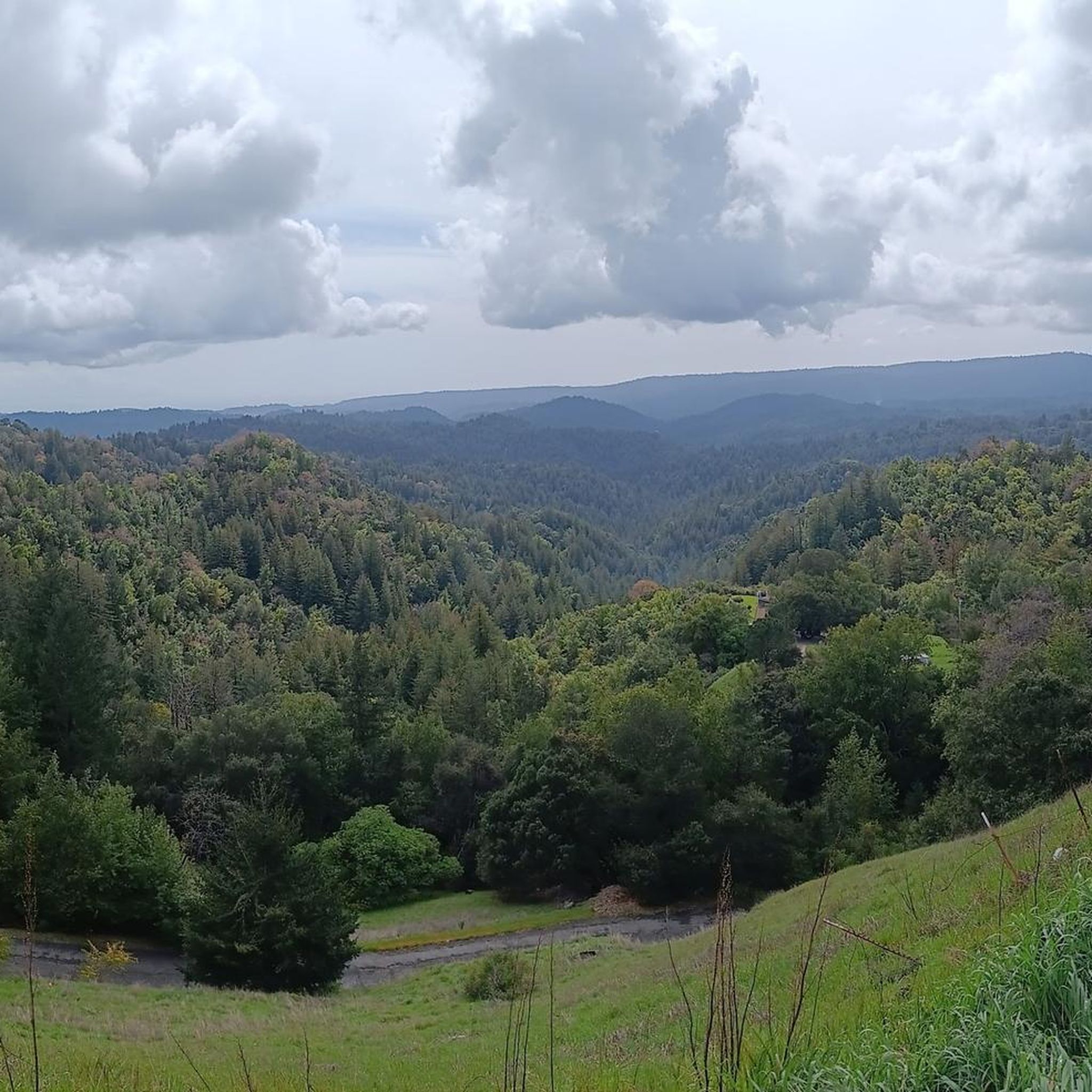
From here, you get a great view of the forest and valley, with the Santa Clara Mountains in the background. It’s a nice spot to stop for a picnic and take in the scenery. The trail continues upward, but this spot is perfect if you’re just looking for a good viewpoint.
0
0

The Peak is a 3,005-foot mountain in Santa Clara County. The high point is marked by a large mossy rock, a short distance away from the end of the trail. This is a great, challenging summit for any mountain biker.
1
0

The Wilder Ranch Bike Path is an entirely paved trail away from the nearby busy highway. The path helps connect Wilder Ranch State Park to Santa Cruz and is open to runners and walkers, too.
0
0

This area is a steep, gullied region containing numerous springs and seeps (areas where water oozes slowly out of the ground). A diverse range of wildlife, including bobcats, cows, eagles, and squirrels, can be found here.
0
0

Indian Rock, a natural climbing spot, is located at the entrance of the Sanborn-Skyline County Park. The rock consists of Sandstone, but don't have the red colors that are so commonly found in the American southwest.
0
0
The Lake Ranch Reservoir is nice and peaceful to run, walk, hike, or bike along. There is a picnic table on the north side of the pond that you could rest at. Since the water is in a small valley, you may want to bring bug spray in the spring/summer months.
0
0
There is a nice overlook and picnic spot here with plenty of shade. The trail up to this point is gradual in nature, and depending on fitness level, never really gets challenging. Great for an uphill run where you want to keep a steady pace.
0
0
Frequently Asked Questions
How many mountain bike trails are available in Loch Lomond Recreation Area?
There are over 25 mountain bike trails recorded in the Loch Lomond Recreation Area on komoot, offering a variety of experiences for different skill levels. These routes are highly rated by the komoot community, with an average score of 4.7 stars.
What types of mountain bike trails can I expect in Loch Lomond Recreation Area?
The trails in Loch Lomond Recreation Area feature diverse terrain, including redwood forests, open ridge lines, and parkland. You'll find a mix of rolling hills, challenging climbs, and rewarding descents, with some routes passing near reservoirs. The area offers 2 easy, 16 moderate, and 7 difficult routes.
Are there any beginner-friendly mountain bike trails in Loch Lomond Recreation Area?
Yes, there are a couple of easy mountain bike trails suitable for beginners. One option is the Mill Pond – Indian Creek Railroad Bridge loop from Felton, which is 7.2 miles (11.6 km) long and takes approximately 40 minutes to complete, offering a gentle introduction to the area's scenery.
What are some challenging mountain bike routes for experienced riders?
For experienced riders seeking a challenge, the Saratoga Gap – Summit of Sanborn County Park loop from Saratoga is a difficult route spanning 35.1 miles (56.5 km) with significant elevation changes, typically taking around 3 hours and 10 minutes to complete. This trail offers a demanding ride through varied terrain.
Are there any circular mountain bike routes in the area?
Yes, many of the mountain bike trails in Loch Lomond Recreation Area are designed as loops. For example, the Cathedral Redwoods – Chuck Beebe Scenic Bench loop from Felton Roaring Camp is a popular moderate 12.0-mile (19.3 km) loop that winds through impressive redwood groves. Another option is the Lake Ranch Reservoir – Summit of Sanborn County Park loop from El Sereno, a 15.9-mile (25.5 km) route through parkland and past a reservoir.
What is the best time of year for mountain biking in Loch Lomond Recreation Area?
The Loch Lomond Recreation Area generally offers pleasant mountain biking conditions for much of the year. Spring and fall often provide mild temperatures and vibrant scenery. While winter riding is possible, it's advisable to check local weather conditions, as some trails may become muddy or slippery after heavy rains.
What kind of views can I expect along the mountain bike trails?
Mountain bike trails in Loch Lomond Recreation Area offer a variety of scenic views. You can expect to ride through towering redwood forests, providing shaded and serene environments. Many routes also feature open ridge lines with expansive vistas, and some trails pass by picturesque reservoirs, characteristic of the Santa Cruz County area.
What do other mountain bikers enjoy most about the trails in Loch Lomond Recreation Area?
The area is highly rated by the komoot community, with an average score of 4.7 stars from over 80 reviews. Reviewers often praise the diverse terrain, from the majestic redwood groves to the scenic ridge lines, and the well-maintained trails that cater to various skill levels. The mix of challenging climbs and rewarding descents is also frequently highlighted.
Are there any specific regulations or permits required for mountain biking in Loch Lomond Recreation Area?
While general access to the trails is usually straightforward, it's always recommended to check the official website of the Loch Lomond Recreation Area or relevant park authorities for any specific regulations, permit requirements, or temporary trail closures before your ride. This ensures you have the most up-to-date information for your visit.
Is there parking available near the mountain bike trailheads?
Parking availability can vary depending on the specific trailhead you choose. Many popular trailheads and park entrances in the Loch Lomond Recreation Area offer designated parking areas. It's advisable to research the starting point of your chosen route on komoot or check local park information for details on parking facilities and any potential fees.
Can I find mountain bike trails that pass by cafes or refreshment stops?
While the trails themselves often traverse natural and undeveloped areas, some routes may start or end near towns or communities where cafes and refreshment stops are available. For example, routes originating near Felton or Saratoga might offer opportunities for pre- or post-ride refreshments. It's best to plan your route and check nearby amenities in advance.
What are the typical distances and elevation gains for mountain bike trails in this region?
The mountain bike trails in Loch Lomond Recreation Area vary significantly in length and elevation. Easy trails, like the Mill Pond – Indian Creek Railroad Bridge loop, are around 7.2 miles (11.6 km) with about 137 meters of elevation gain. Moderate routes can range from 12 to 25 miles (19 to 40 km) with 400-600 meters of climbing. Difficult trails, such as the Saratoga Gap – Summit of Sanborn County Park loop, can exceed 35 miles (56 km) with over 900 meters of elevation gain.
Most popular routes in Loch Lomond Recreation Area

Get inspired with the komoot mobile app


Explore more
Browse the best MTB trails in other regions.
