The best running trails in Glen Valley Regional Park
5.0
(4)
165
runners
12
runs
Jogging in Glen Valley Regional Park offers a tranquil setting along the Fraser River, characterized by its "pancake flat" terrain. The park features expansive river frontage with scenic views and majestic cottonwood trees that provide shade along the pathways. Oak woodlands and unpaved routes connect to hillsides, providing diverse running experiences. This area is known for its runner-friendly terrain, making it a popular training ground.
Best jogging routes in Glen Valley Regional Park
- The most popular jogging route is Running loop from Glen Valley Regional Park, Two-bit Bar, a 7.5 miles (12.1 km) trail that takes 1 hour 17 minutes to complete. This route offers consistent, flat terrain along the Fraser River.
- Another top favourite among local runners is Glen Valley Regional Park loop from Crescent Island, a moderate 7.5 miles (12.1 km) path. This route provides river views and passes through areas with large cottonwood trees.
- Local runners also love the Grant Hill loop from Thornhill, a 3.2 miles (5.1 km) trail leading through varied terrain with some elevation gain, often completed in about 39 minutes.
- Jogging in Glen Valley Regional Park is defined by its "pancake flat" terrain, Fraser River frontage, and majestic cottonwood trees. The network offers options for easy, moderate, and difficult running routes.
- The routes in Glen Valley Regional Park are highly rated by the komoot community with an average score of 5.0 stars from more than 4 reviews. More than 150 runners have used komoot to explore Glen Valley Regional Park's varied terrain.
Last updated: August 28, 2026
4
runners
Moderate run. Good fitness required. Mostly paved surfaces. Suitable for all skill levels.
3
runners
12.2km
01:17
50m
50m
Moderate run. Good fitness required. Mostly paved surfaces. Suitable for all skill levels.

Sign up for free
2
runners
5.11km
00:41
150m
150m
Moderate run. Good fitness required. Mostly accessible paths. Some sure footedness required.
25
runners
Moderate run. Good fitness required. Mostly paved surfaces. Suitable for all skill levels.
12
runners
Moderate run. Good fitness required. Mostly paved surfaces. Suitable for all skill levels.
Get access to more routes and recommendations from other explorers.
Sign up for free
Already have an account?
Our route recommendations are based on thousands of hikes, rides, and runs completed by other people on komoot.
Start today with a free account
Your next adventure awaits.
Login or Signup
Popular around Glen Valley Regional Park
Tips from the Community

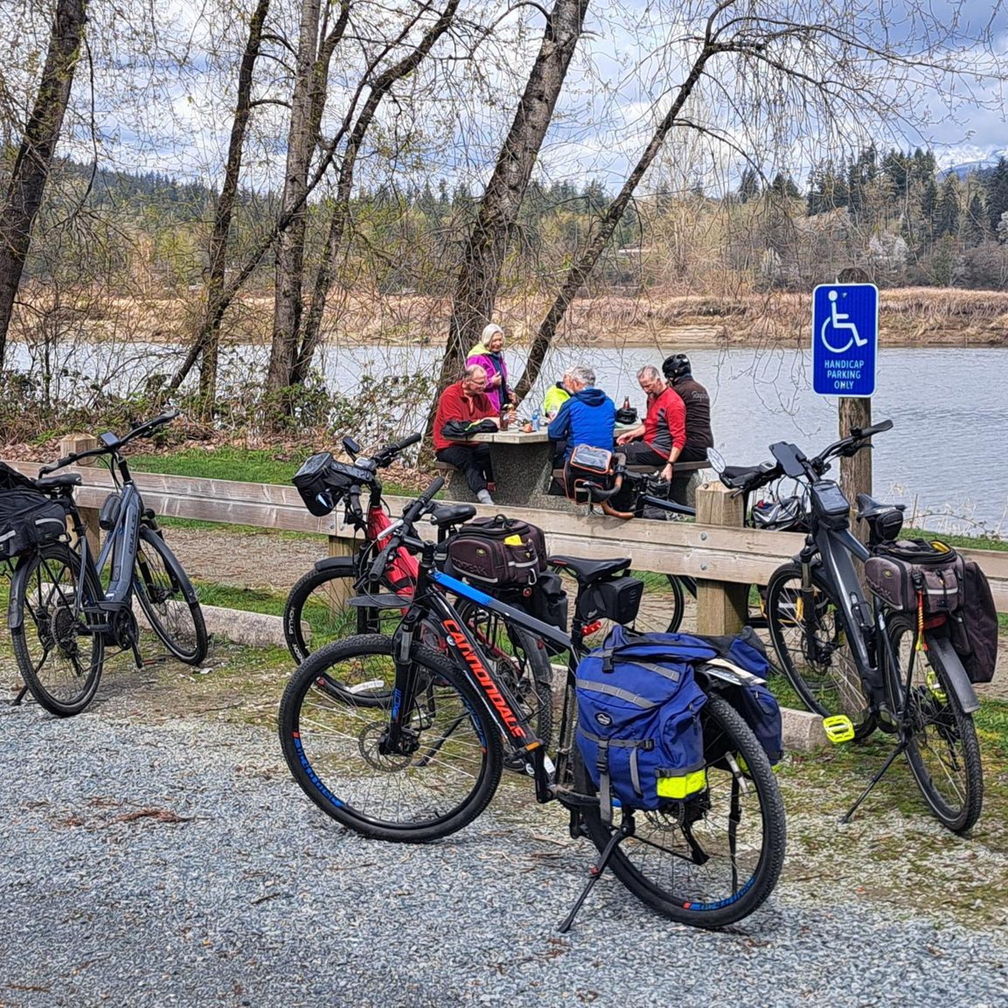
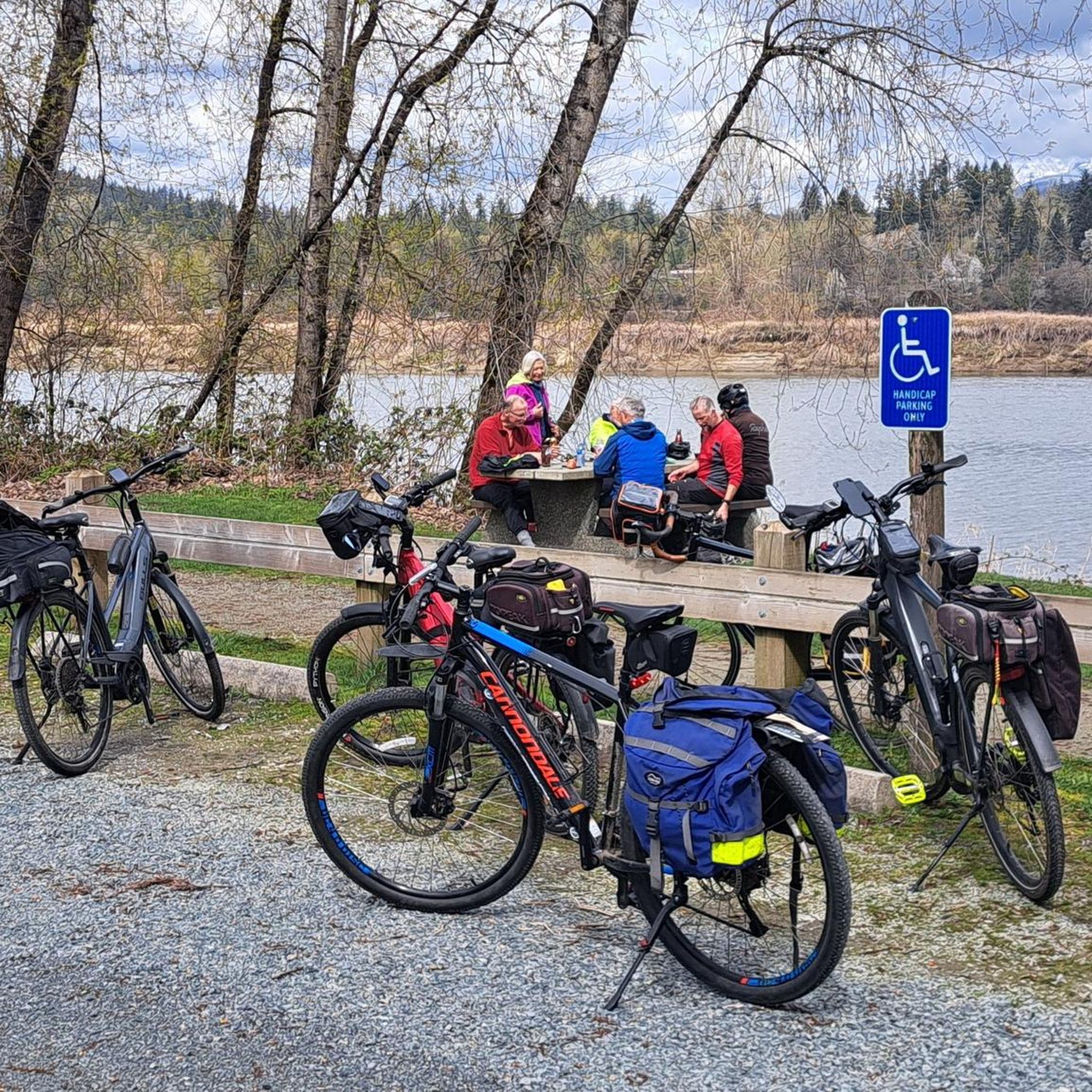
Derby Reach stretches along a calm bend of the Fraser River, where open fields, quiet forests, and wide riverside trails make for easy wandering. You'll find a mix of flat shoreline paths and the hillier Houston Trail loop with some multi-use trails open to hikers, joggers, cyclists, and even horseback riders. A large campground sits right at the water’s edge, with picnic shelters, washrooms, drinking water, and plenty of space to settle in for the night. Dogs are welcome on‑leash throughout most of the park, with a large off‑leash zone near Edgewater Bar. In short, you'll find that Derby Reach delivers a peaceful break with all the essentials close at hand.
0
0
Frequently Asked Questions
How many running routes are available in Glen Valley Regional Park?
Glen Valley Regional Park offers a variety of running experiences, with over 14 routes available on komoot. These routes cater to different preferences, including easy, moderate, and difficult options.
What kind of terrain can I expect on the running trails in Glen Valley Regional Park?
The park is renowned for its "pancake flat" terrain, making it ideal for uninterrupted runs. You'll find well-maintained pathways within the park, as well as roads like River Road that offer good footing and extend for several kilometers parallel to the Fraser River.
Are there any easy running routes suitable for beginners or families?
Yes, Glen Valley Regional Park has options for easier runs. For instance, the park features an easy 3.1 km pathway suitable for running. While not explicitly listed as easy, the routes are generally flat. One route that is rated easy is Kanaka Creek Regional Park loop from Kanaka Creek Regional Park, which is about 4.9 km long.
Can I bring my dog on the jogging trails in Glen Valley Regional Park?
Yes, dogs are welcome in Glen Valley Regional Park, provided they are kept on a leash. This makes it a great destination for runners who enjoy bringing their canine companions along.
What natural features or landmarks can I see while running in the park?
You'll enjoy expansive views of the Fraser River, which defines the park's prime location. Majestic cottonwood trees provide shade and enhance the natural beauty along the pathways. You might also spot seals in the river, which is known as the world's largest salmon-producing river.
Are there any circular running routes in Glen Valley Regional Park?
Yes, several routes offer a circular experience. A popular choice is the Running loop from Glen Valley Regional Park, Two-bit Bar, which is about 12.1 km. Another option is the Running loop from Glen Valley, also around 12.1 km, offering river views and passing through areas with large cottonwood trees.
Is parking available at Glen Valley Regional Park?
While specific parking facilities aren't detailed, regional parks typically offer designated parking areas for visitors. Given its popularity, especially among runners, it's reasonable to expect parking availability near trailheads or access points within the park.
What do other runners say about the routes in Glen Valley Regional Park?
The routes in Glen Valley Regional Park are highly rated by the komoot community, with an impressive average score of 5.0 stars from more than 4 reviews. Over 160 runners have used komoot to explore the park, often praising its flat terrain and scenic river views.
Are the running trails accessible year-round?
Yes, Glen Valley Regional Park is open year-round, allowing for jogging and other outdoor activities in all seasons. The "pancake flat" terrain generally makes it manageable even in varying weather conditions.
Are there options for longer runs beyond the immediate park trails?
Absolutely. Glen Valley Regional Park is integrated into the larger "Experience The Fraser" project, a vast network of over 550 km of trails along the lower Fraser River. This connection provides opportunities for extended adventures, such as cycling to Fort Langley, which is 10.5 km away, or simply continuing your run on connected pathways.
What makes Glen Valley Regional Park a good training ground for runners?
The park's "pancake flat" terrain and absence of stop signs or heavy traffic on nearby roads like River Road make it an excellent training ground. This allows for uninterrupted runs, which is particularly valued by professional runners for out-and-back training or 5km loops.
Are there any historical points of interest within the park?
Yes, the park holds historical significance. It is home to the historic Hassel House, built in 1917, which once served as Glen Valley's first store, post office, and wharf. Additionally, Duncan Bar within the park is recognized as a traditional Matsqui First Nation fishing ground.
Where can I find shade on sunny days while running?
The park's landscape is defined by majestic, huge cottonwood trees. These trees provide ample shade along many of the pathways, offering a cooler running experience on sunny days, especially along the Fraser River frontage.
Most popular routes in Glen Valley Regional Park

Get inspired with the komoot mobile app


Explore more
Browse the best Running Trails & Routes in other regions.
