The best road cycling routes in Inverclyde
4.5
(162)
5,722
riders
55
rides
Road cycling routes in Inverclyde traverse a diverse landscape along the southern shore of the Firth of Clyde. The region features a mix of coastal paths, rolling hills, and tranquil lochs, with elevations ranging from sea level to 355 meters. Its network of 627 km of cycling paths provides varied terrain for different skill levels.
Best road cycling routes in Inverclyde
- The most popular road cycling route is View of Loch Fyne – Tighnabruaich Viewpoint loop from Greenock West,…
Last updated: September 28, 2026
5.0
(1)
104
riders
134km
06:02
1,350m
1,350m
Hard road ride. Very good fitness required. Mostly well-paved surfaces and easy to ride.
4.0
(1)
83
riders
74.9km
03:26
640m
640m
Moderate road ride. Good fitness required. Some segments of this route may be unpaved and difficult to ride.

5.0
(3)
77
riders
34.6km
01:26
210m
210m
Easy road ride. Great for any fitness level. Mostly well-paved surfaces and easy to ride.
4.0
(1)
73
riders
44.4km
02:11
650m
650m
Moderate road ride. Good fitness required. Mostly well-paved surfaces and easy to ride.
42
riders
71.6km
03:18
520m
520m
Moderate road ride. Good fitness required. Mostly well-paved surfaces and easy to ride.
3.0
(2)
49
riders
42.3km
01:50
350m
350m
Moderate road ride. Good fitness required. Mostly well-paved surfaces and easy to ride.
3.0
(1)
31
riders
120km
05:31
1,110m
1,110m
Hard road ride. Very good fitness required. Mostly well-paved surfaces and easy to ride.
5.0
(1)
29
riders
56.5km
02:23
340m
340m
Moderate road ride. Good fitness required. Mostly well-paved surfaces and easy to ride.
3.0
(3)
40
riders
47.8km
02:13
290m
290m
Moderate road ride. Good fitness required. Mostly well-paved surfaces and easy to ride.
28
riders
115km
05:05
820m
820m
Hard road ride. Very good fitness required. Some segments of this route may be unpaved and difficult to ride.
Get access to more routes and recommendations from other explorers.
Already have an account?
Our route recommendations are based on thousands of hikes, rides, and runs completed by other people on komoot.
Start today with a free account
Your next adventure awaits.
Popular around Inverclyde
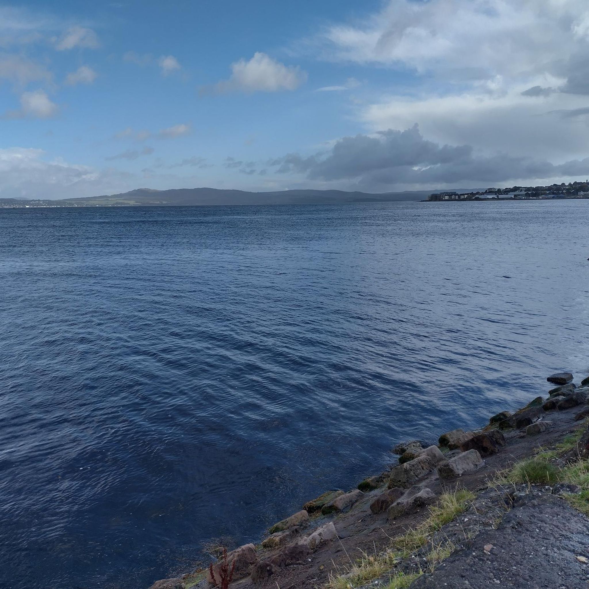
Road Cycling Routes around Gourock
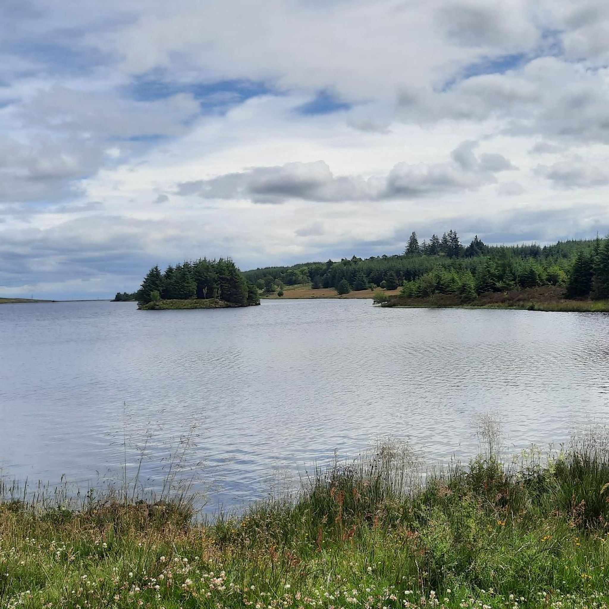
Road Cycling Routes around Inverkip And Wemyss Bay
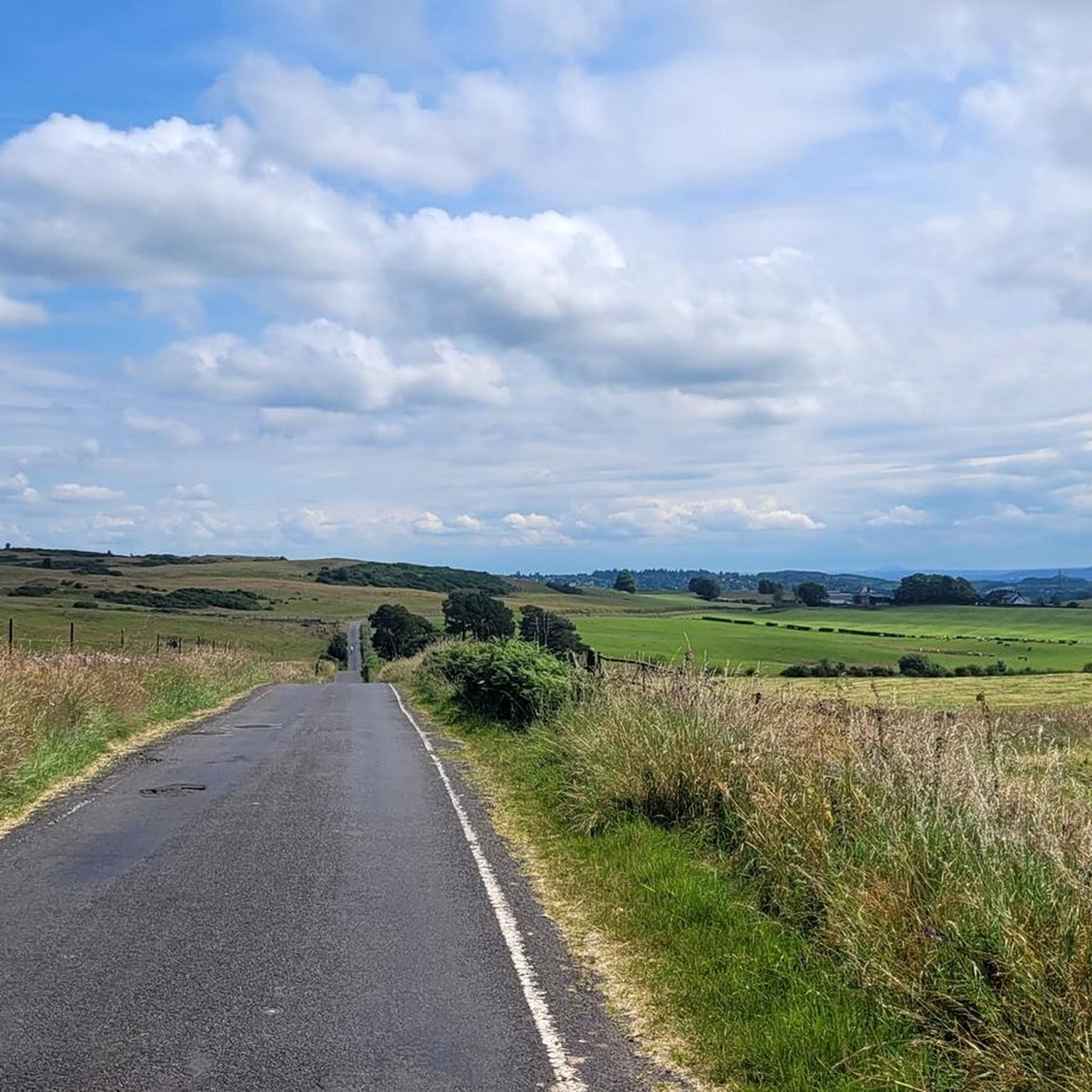
Road Cycling Routes around Port Glasgow West
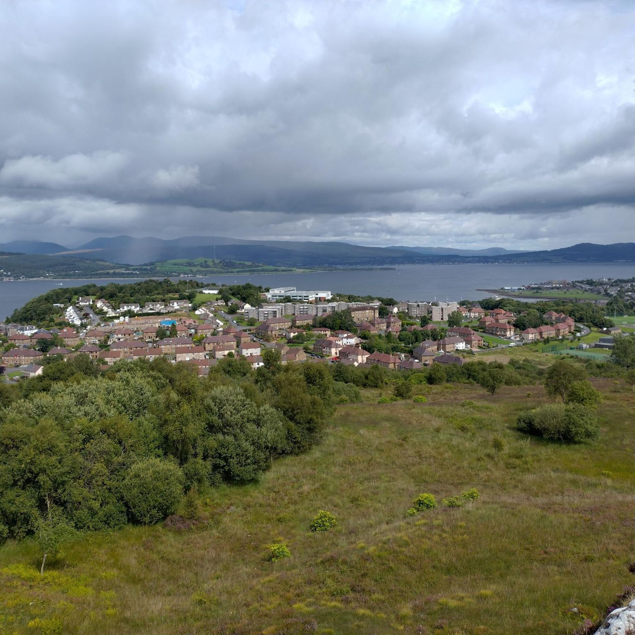
Road Cycling Routes around Larkfield, Braeside, And Branchton
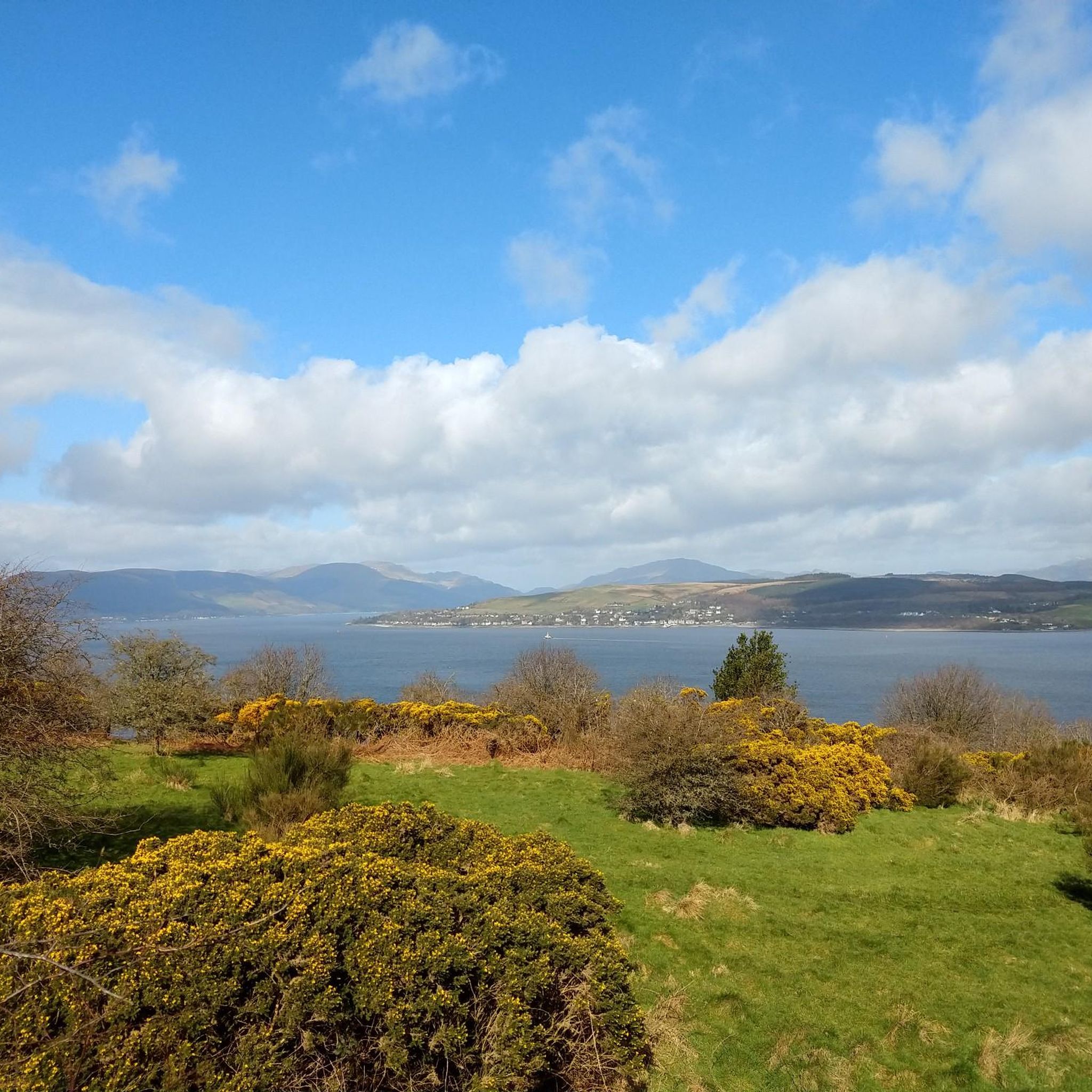
Road Cycling Routes around Greenock Southwest
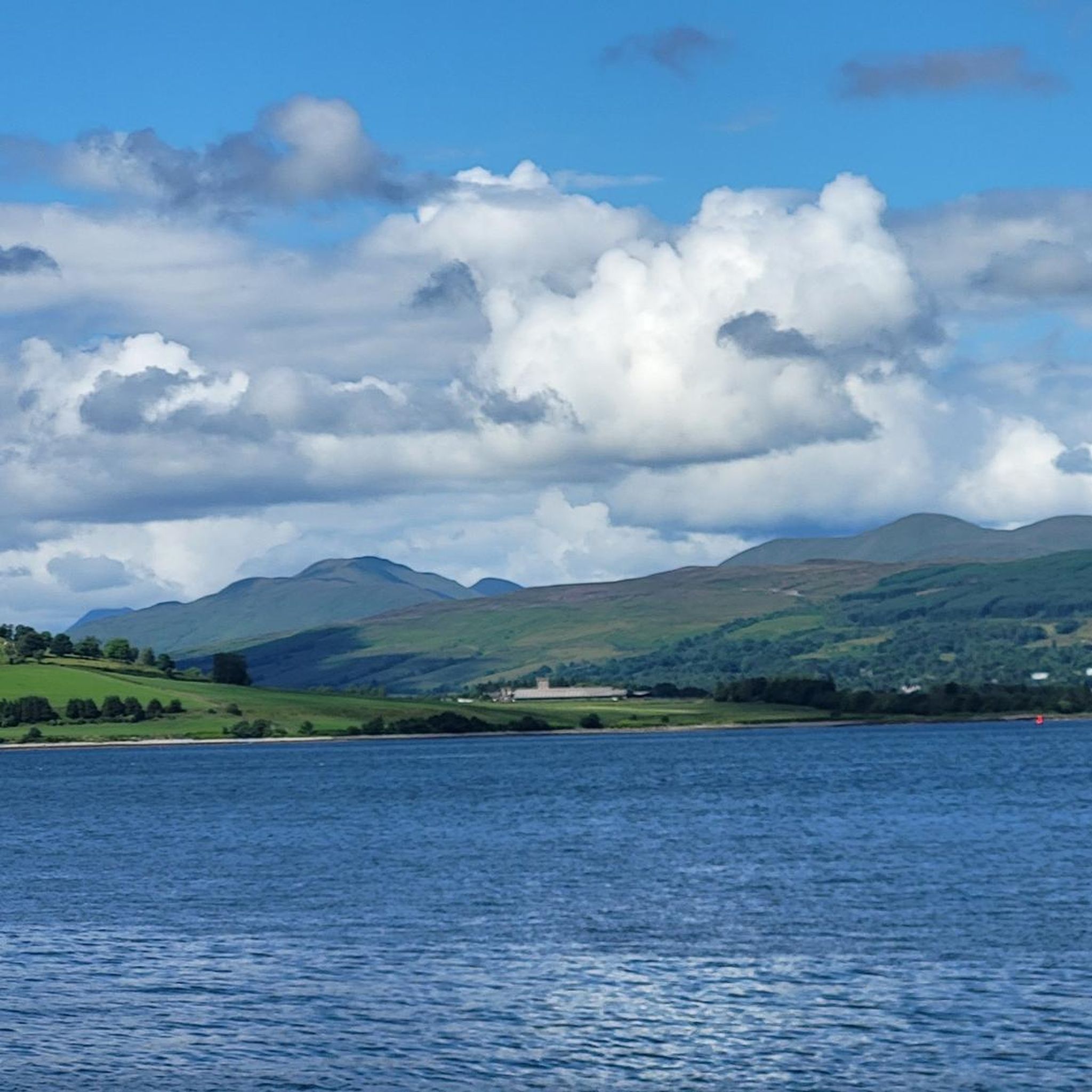
Road Cycling Routes around Greenock West And Cardwell Bay
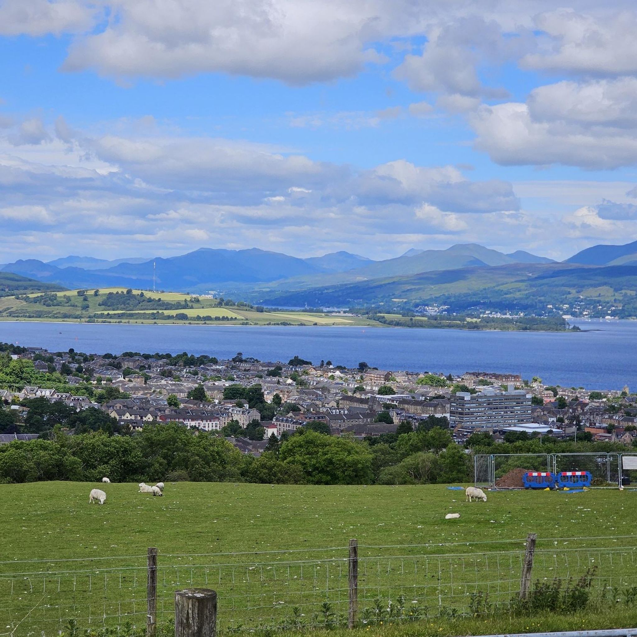
Road Cycling Routes around Greenock Central
Road Cycling Routes around Holefarm And Cowdenknowes
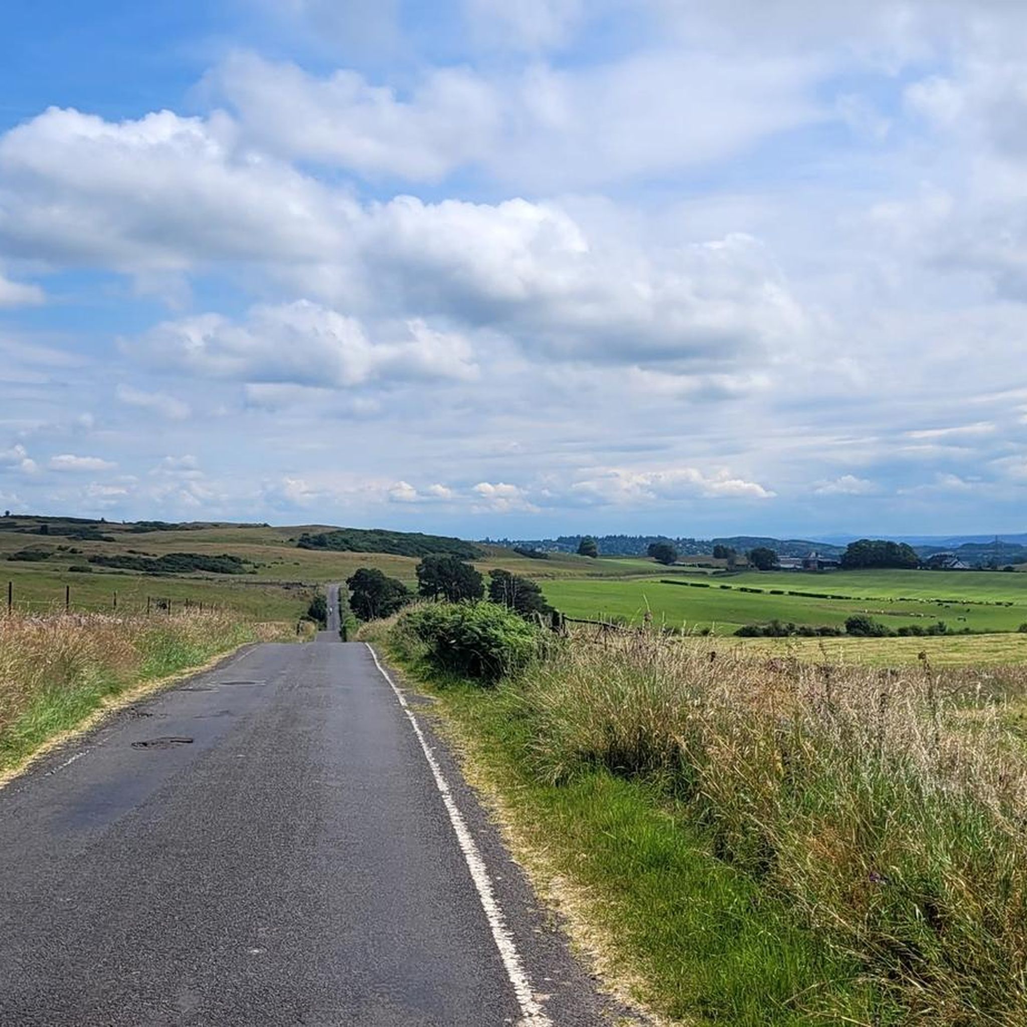
Road Cycling Routes around Port Glasgow East
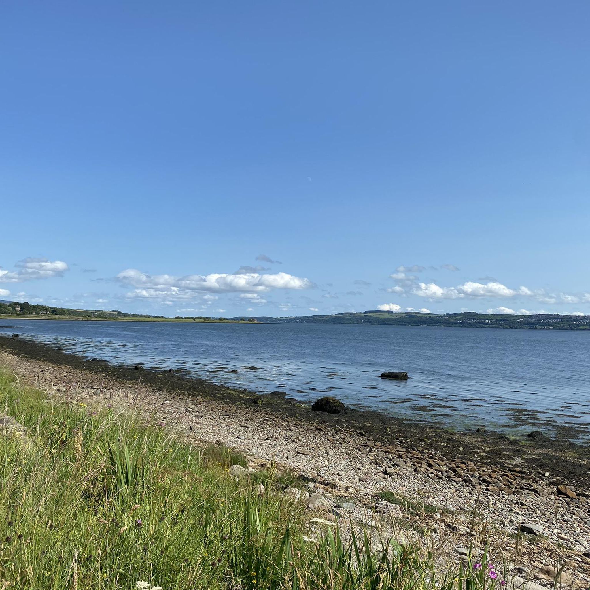
Road Cycling Routes around Greenock East
Tips from the Community


The CLOCH lighthouse was designed by Thomas Smith and his son-in-law Robert Stevenson, who is famous for the Bell Rock Lighthouse off Angus and was the grandfather of the author Robert Louis Stevenson. The oil lamp was first lit on 11 August 1797. The lighthouse is now unmanned and fully automated, with an optical light mounted on a mast. The former lighthouse keepers' houses have been converted into three private dwellings.
0
0
A ferry departs every 20-30 minutes. https://www.western-ferries.co.uk/ On some days, queues can form on the road. However, pedestrians can usually always get on board. Tickets can be purchased online in advance.
0
0
Beautiful for strolling along the promenade. Pedestrians and cyclists are often separated by a dividing line, but still keep your eyes open. Many benches invite you to linger and dream.
0
0

Gorgeous little lighthouse between Lunderston Bay and Greenock, along National Cycle Route. It's a shared pavement section here, which can be a bit narrow in places and often has cars parked on it, stay awake!
0
0


"Named for its rather distinctive shape, The Pencil was built in 1912 as a reminder of the Viking influence over Scotland. Overlooking the Firth of Clyde and standing at around 70 feet tall, the pencil remembers the Battle of Largs, where the Scottish defeated 160 ships belonging to the Norwegian King Haco. Take a leisurely walk along the prom in Largs towards the southern end at Bowen Craig and you can’t miss this monument standing 70 feet high in the shape of a pencil. The view from this spot of the Firth of Clyde and the Marina are lovely." Source: https://hiddenscotland.com/listings/largs-pencil-monument
0
0
Frequently Asked Questions
How many road cycling routes are available in Inverclyde?
Inverclyde offers a wide selection of road cycling routes, with over 60 routes available on komoot. These routes cater to various skill levels, ranging from easy coastal spins to more challenging inland ascents.
What kind of terrain can I expect on road cycling routes in Inverclyde?
Road cycling in Inverclyde features a diverse landscape. You'll find routes along the stunning Firth of Clyde coastline, through rolling hills, and around tranquil lochs. Elevations vary from sea level to 355 meters, providing options for both leisurely rides and more demanding climbs.
Are there road cycling routes suitable for beginners in Inverclyde?
Yes, Inverclyde has 18 easy road cycling routes perfect for beginners or those looking for a relaxed ride. These often include traffic-free sections along the coast, such as the paths leading to Lunderston Bay.
What are some challenging road cycling routes for experienced riders in Inverclyde?
For experienced riders seeking a challenge, Inverclyde offers 8 difficult routes. One such route is the View of Loch Fyne – Tighnabruaich Viewpoint loop from Greenock West, which covers 133.6 km and features significant elevation gain, offering expansive views towards Loch Fyne.
What natural features can I see while road cycling in Inverclyde?
You can enjoy stunning natural features like the Firth of Clyde, offering views of the Argyll hills and distant Highlands. Routes also pass through Loch Thom and sections of Clyde Muirshiel Regional Park, providing picturesque surroundings.
Are there any notable landmarks or viewpoints along Inverclyde's road cycling routes?
Absolutely. Many routes feature prominent landmarks and viewpoints. You can cycle past the historic Cloch Lighthouse, enjoy panoramic views from Lyle Hill, or explore the fascinating Greenock Cut aqueduct. The Cloch Lighthouse – Lunderston Bay loop from Inverkip is a great option for coastal views.
Are there family-friendly road cycling options in Inverclyde?
Yes, Inverclyde offers family-friendly road cycling options, particularly along its coastal paths. Routes like the 'Coastal Cruising' mentioned in regional research provide largely traffic-free experiences, ideal for families to enjoy the stunning Inverclyde coastline.
How can I access Inverclyde's road cycling routes using public transport?
Inverclyde is well-connected by public transport. Gourock train station is a key hub, and its strategic location also serves as an embarkation point for ferries, allowing cyclists to extend their adventures to areas like Argyll or the Isle of Arran.
Are there places to stop for refreshments or rest along the routes?
Yes, you'll find several spots for refreshments and rest. Lunderston Bay is a popular stopping point on coastal routes. The Greenock Cut Visitor Centre also provides refreshments. Additionally, the Inverclyde Bothy at Gourock train station offers support and information for cyclists.
What is the best time of year for road cycling in Inverclyde?
The best time for road cycling in Inverclyde is generally during the spring and summer months (April to September) when the weather is milder and daylight hours are longer. This allows for the most comfortable conditions to enjoy the coastal views and varied terrain.
What do other road cyclists enjoy the most about road cycling in Inverclyde?
The area is highly rated by the komoot community, with an average score of 4.4 stars from over 20 reviews. Reviewers often praise the diverse landscapes, from scenic coastal paths with views of the Firth of Clyde to challenging climbs offering panoramic vistas over the region and beyond.
Are there any circular road cycling routes in Inverclyde?
Many of Inverclyde's road cycling routes are designed as loops, offering varied scenery without retracing your path. Examples include the Cloch Lighthouse – Lunderston Bay loop from Inverkip and the 'Loch Thom loop from Gourock' mentioned in regional research, which provides diverse terrain and views across Clyde Muirshiel Regional Park.
Most popular routes in Inverclyde
Most popular attractions in Inverclyde

Get inspired with the komoot mobile app


Didn’t find what you were looking for?
Check out more Road cycling routes throughout Inverclyde below and find the perfect route in your destination.
Explore more
Browse the best Road cycling routes in other regions.
