The best walks and hikes in Tapo Canyon Regional Park
4.8
(9)
103
hikers
12
hikes
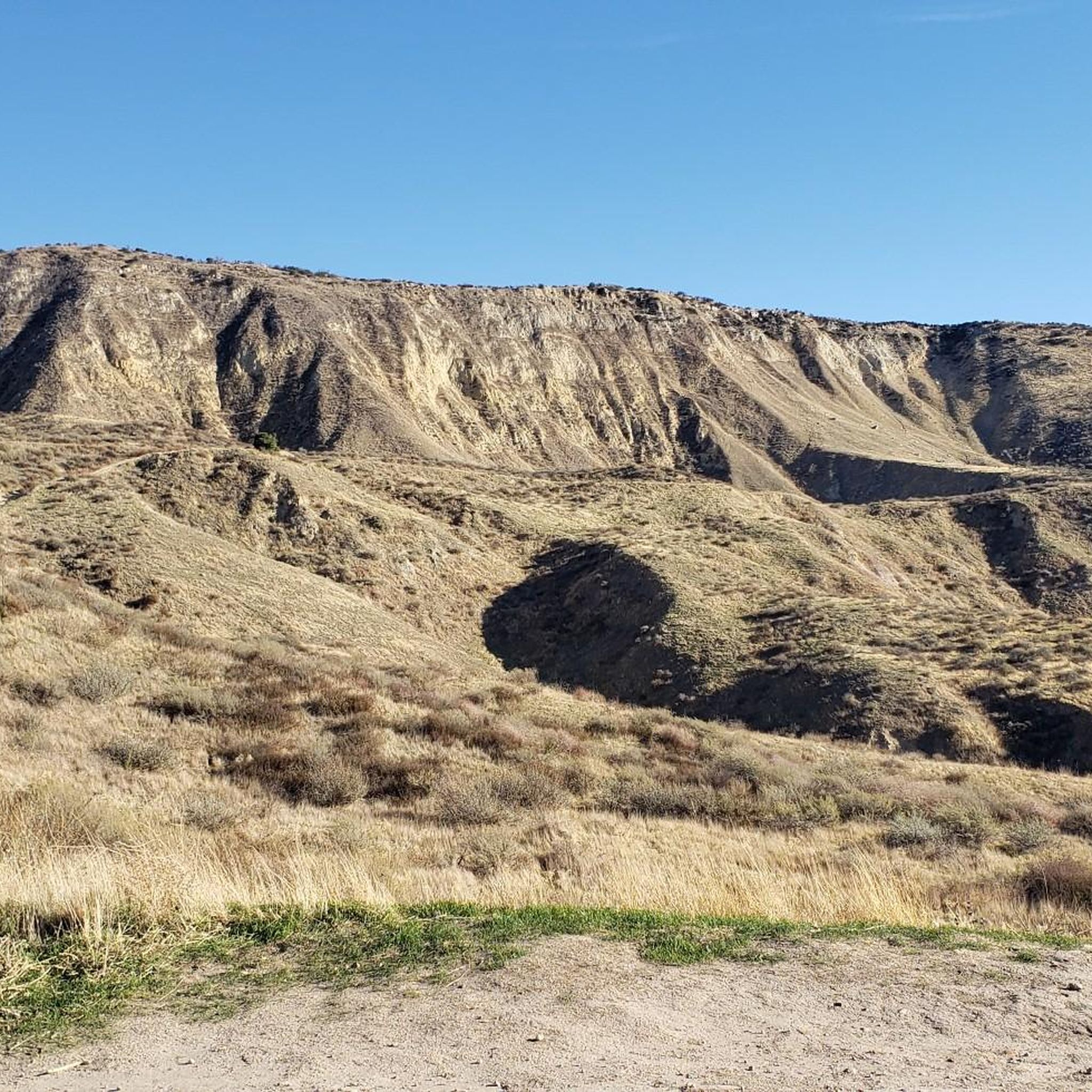
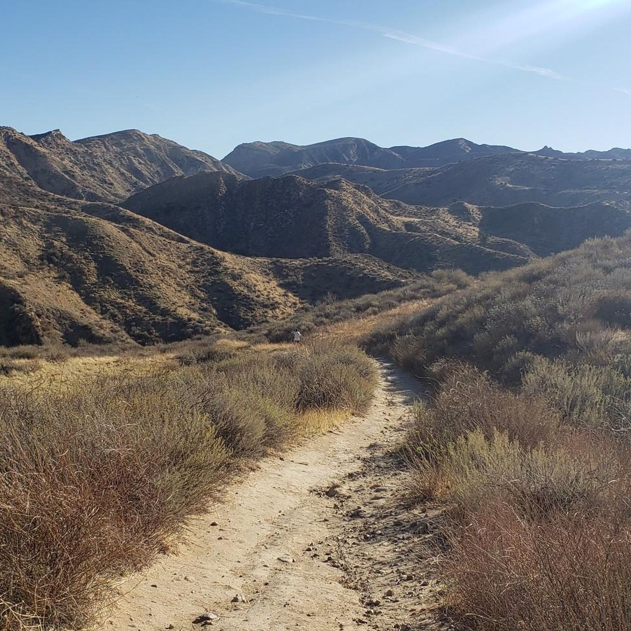
Hikes in Tapo Canyon Regional Park explore the rolling hills and canyons of the Santa Susana Mountains. The landscape is characterized by native oak woodlands and vegetated creek-beds, with trails following a network of fire roads and paths. The routes feature steady climbs to viewpoints overlooking the Simi Valley area.
Best hiking trails in Tapo Canyon Regional Park
- The most popular hiking route is Tapo Canyon Trail loop — Marr Ranch Open Space, a 7.1 mile (11.5 km) trail that takes around 3 hours 15 minutes to complete. This moderate hike follows wide fire roads through the canyon and up into the surrounding hills.
- Another top favourite among local hiking enthusiasts is Hummingbird Trail loop — Rocky Peak Park, a moderate 4.5 mile (7.2 km) path. The route involves a significant climb with some rocky sections, offering expansive views from the ridge.
- Local hiking enthusiasts also love the Chumash Trail loop from Simi Valley, a 5.6 mile (9.1 km) trail leading through open chaparral, often completed in about 2 hours 50 minutes.
- Hiking in Tapo Canyon Regional Park is defined by its rolling hills, open canyons, and oak woodlands. The trail network provides options for different ability levels, primarily on moderate to difficult routes.
- The routes in Tapo Canyon Regional Park are highly rated by the komoot community with an average score of 5.0 stars from a number of reviews. More than 90 hikers have used komoot to explore Tapo Canyon Regional Park's varied terrain.
Last updated: September 28, 2026
30.0km
09:05
1,050m
920m
Embark on a challenging journey through the Santa Susana Mountains on the Tapo Canyon Trail to Rocky Peak Trail. This difficult 18.6 miles (30.0 km) hike, with its 3437 feet (1048 metres) of elevation gain, immerses you in diverse landscapes, from wide fire roads to rugged, rocky paths. You'll experience the unique chaparral ecosystems and ancient rock formations, culminating in expansive views from Rocky Peak. Expect a full day out, around 9 hours and 4 minutes, requiring good physical preparation.
To tackle this demanding route, plan an early start, especially in warmer months, as shade is very limited. Parking is generally available at the Tapo Canyon Trailhead, making it accessible from Simi Valley. Remember to bring plenty of water to stay hydrated throughout your adventure.
This trail is a deep dive into the natural beauty of the Santa Susana Mountains, offering a chance to see vibrant wildflowers in spring and diverse wildlife. The geological features are a highlight, showcasing millennia of shifts in the landscape. It's a notable option for advanced hikers seeking a significant workout and rewarding vistas in Southern California.
6.20km
02:04
300m
300m
Embark on the Chivo Canyon and Marr Ranch Loop for a moderate hiking experience that spans 3.9 miles (6.2 km) with a total elevation gain of 991 feet (302 metres). You can expect to complete this scenic route in about 2 hours and 3 minutes. As you traverse the Marr Ranch Trail, you'll be treated to expansive views of Simi Valley and the distant Santa Susana Mountains from the ridgeline. Descending into Chivo Canyon, the landscape shifts to lush chaparral, often accompanied by a seasonal creek, offering a refreshing change of scenery.
This trail is generally accessible and welcomes dogs, making it a great choice if you want to bring your canine companion along for the adventure. Before heading out, always make sure to check local regulations to ensure a smooth and enjoyable visit. Consider starting your hike earlier in the day to make the most of the cooler temperatures and avoid potential crowds, especially on weekends.
Beyond the natural beauty, the Chivo Canyon and Marr Ranch Loop offers a glimpse into the area's past. Keep an eye out for unique historical remnants scattered along the route, including abandoned oil wells and an old rusted steam shovel. These intriguing artifacts add a distinct historical layer to your outdoor exploration, setting this trail apart from others in the region.

5
hikers
11.5km
03:14
250m
250m
Hike the moderate 7.1-mile Tapo Canyon Trail Loop in Marr Ranch Open Space, featuring rolling hills, oak trees, and scenic canyon views.
2.46km
00:41
60m
20m
Embark on an easy hike along the Las Llajas Canyon Trail, a straightforward 1.5-mile (2.5 km) route that offers a quick escape into nature. You will follow a wide, often sandy, dirt road as it winds through peaceful oak groves, gaining 213 feet (65 metres) in elevation. This pleasant journey takes approximately 41 minutes to complete, providing panoramic views of the Santa Susana Mountains and Simi Valley. On clear days, you can even spot the distant Santa Monica Mountains, making for a rewarding short outing.
Accessing the Las Llajas Canyon Trail is simple, with the trailhead conveniently located and parking readily available right near the starting point. You will appreciate that no permits are needed to hike here, making it an ideal choice for a spontaneous outdoor adventure. To ensure the most comfortable experience, plan your visit during the cooler months of the year. This avoids the heat and allows for a more enjoyable walk through the canyon.
As you explore the canyon, keep an eye out for the unique geological features that tell a story of the area's ancient past. You will encounter fascinating sandstone formations and even fossilized seashells embedded in the landscape. These natural wonders offer a glimpse into a time when this region was covered by an ocean, adding an intriguing layer to your hiking experience.
5.0
(1)
2
hikers
12.8km
03:59
480m
480m
Hike the moderate 7.9-mile Chumash and Rocky Peak Loop in Rocky Peak Park, gaining 1568 feet with panoramic views and unique rock formations
Get access to more routes and recommendations from other explorers.
Already have an account?
Our route recommendations are based on thousands of hikes, rides, and runs completed by other people on komoot.
Start today with a free account
Your next adventure awaits.
Tips from the Community

Marr Ranch Open Space has various trails, including the Chivo Canyon Trail and Tapo Canyon Trail. The trails reward you with beautiful views of the surrounding hills. The trails are double track and single track, with varying surfaces, so wider tyres are recommended. Parts of the trails can also be quite exposed, so make sure you are prepared for different weather conditions.
0
0

Chumash is also a popular downhill trail. It is a great option for less experienced riders who are looking to come down on the west side of Rocky Peak Trail without having to tackle the more technical Black Diamond trails (Undertow, The Grudge, and Hummingbird).
0
0

This trail is very well maintained and features a slight incline throughout its entire length. Numerous fantastic vantage points offer panoramic views of the area, and you can even catch sight of the river running through the canyon.
1
0
Marr Ranch Open Space has various trails, including the Chivo Canyon Trail and Tapo Canyon Trail. The trails reward you with beautiful views of the surrounding hills. The trails are double track and single track, with varying surfaces, so wider tyres are recommended. Parts of the trails can also be quite exposed, so make sure you are prepared for different weather conditions.
1
0

Rocky Peak Park is a 4,800-acre park in the Santa Susana Mountains. It is known for trails like the 3-mile Chumash Trail and the 5-mile Rocky Peak Trail. It is home to Rocky Peak, the fourth-highest point in the Santa Susana Mountains.
0
0
This trail offers wide-open views of the surrounding hills due to the lack of tree coverage, allowing for unobstructed vistas. However, it also means limited shade, so it's advisable to start early, especially on hot days.
0
0

This scenic dirt road connects Chumash Trail with Hummingbird Trail. It leads past Rocky Peak and all the way down to Highway 118.
0
0
A great climb that never gets boring: Loose rocks, boulders and some tight switchbacks will keep you on your toes.
0
0
Frequently Asked Questions
Are dogs allowed on the trails in Tapo Canyon Regional Park?
Yes, dogs are generally welcome in Tapo Canyon Regional Park, but they must be kept on a leash at all times. The trails are multi-use and shared with hikers, mountain bikers, and horseback riders, so it's important to maintain control of your dog for everyone's safety.
Where can I park to access the trails?
There is a small parking area right at the entrance to the Tapo Canyon Trail, with additional parking available along the street. The main Tapo Canyon Regional Park also offers parking facilities. As with many popular hiking spots, it's a good idea to arrive early, especially on weekends, to secure a spot.
Are there any easy, family-friendly hikes in the park?
Most of the established routes in the park are rated as moderate or difficult due to the rolling hills and elevation changes. For a family outing, you might consider a shorter walk along the initial, flatter sections of the main fire roads. The park also has picnic areas and a playground, making it a great destination for a family day out even without a long hike.
What is the best time of year to see wildflowers?
Spring is the most spectacular time to visit Tapo Canyon Regional Park for wildflowers. After the winter rains, typically from March to May, the hills and canyons come alive with a vibrant display of native flowers. The cooler temperatures also make for more pleasant hiking conditions.
Can I go trail running in Tapo Canyon?
Absolutely. The network of fire roads and trails in the park is well-suited for trail running. The rolling terrain provides a good challenge with significant elevation gain on some routes. A longer, more demanding run can be found on the Las Llajas Canyon & Ridge loop, which covers over 12 miles (19 km).
What kind of wildlife might I see in the park?
The park's diverse habitats of oak woodlands, canyons, and creek-beds support a variety of wildlife. If you're quiet and observant, you might spot red-tailed hawks soaring overhead, cottontail rabbits, or even a bobcat. The area is also known for its peacocks, particularly near the campground.
Are there any circular or loop trails available?
Yes, there are several excellent loop trails. These routes allow you to experience a variety of scenery without backtracking. For a long and scenic loop with great views, consider the View of Las Llajas Canyon – Chumash Trail loop, which is a rewarding hike of over 9 miles (14.8 km).
What is the historical significance of Tapo Canyon?
The area is rich in history. It was once a habitation site for the Chumash people and later part of the Mexican land grant era, with the rebuilt Tapo Adobe standing as a reminder of the 19th-century Rancho Period. More recently, parts of the park were used as a filming location for the television series 'Little House on the Prairie'.
How difficult are the hikes in Tapo Canyon compared to nearby Rocky Peak Park?
The trails in both parks explore the rugged Santa Susana Mountains, but they offer different experiences. Tapo Canyon's trails are primarily wide fire roads with steady, rolling climbs. Trails in Rocky Peak Park, such as the Hummingbird Trail, are often steeper, single-track paths with more technical and rocky sections. Both offer challenging hikes with rewarding views.
What do other hikers say about the trails in Tapo Canyon Regional Park?
The hiking routes in this area are very highly rated by the komoot community. Reviewers often praise the wide-open spaces, the panoramic views of Simi Valley from the ridges, and the sense of tranquility found within the canyons.
Are there any facilities like restrooms or water in the park?
The main Tapo Canyon Regional Park area has facilities, including restrooms and picnic areas. However, once you are out on the trail network, there are no water sources or restrooms. It is essential to carry all the water you will need for your hike, especially on warm days.
Most popular routes in Tapo Canyon Regional Park

Get inspired with the komoot mobile app


Explore more
Browse the best Hikes in other regions.
