The best road cycling routes in Stetson Ranch Park
5.0
(19)
738
riders
31
rides
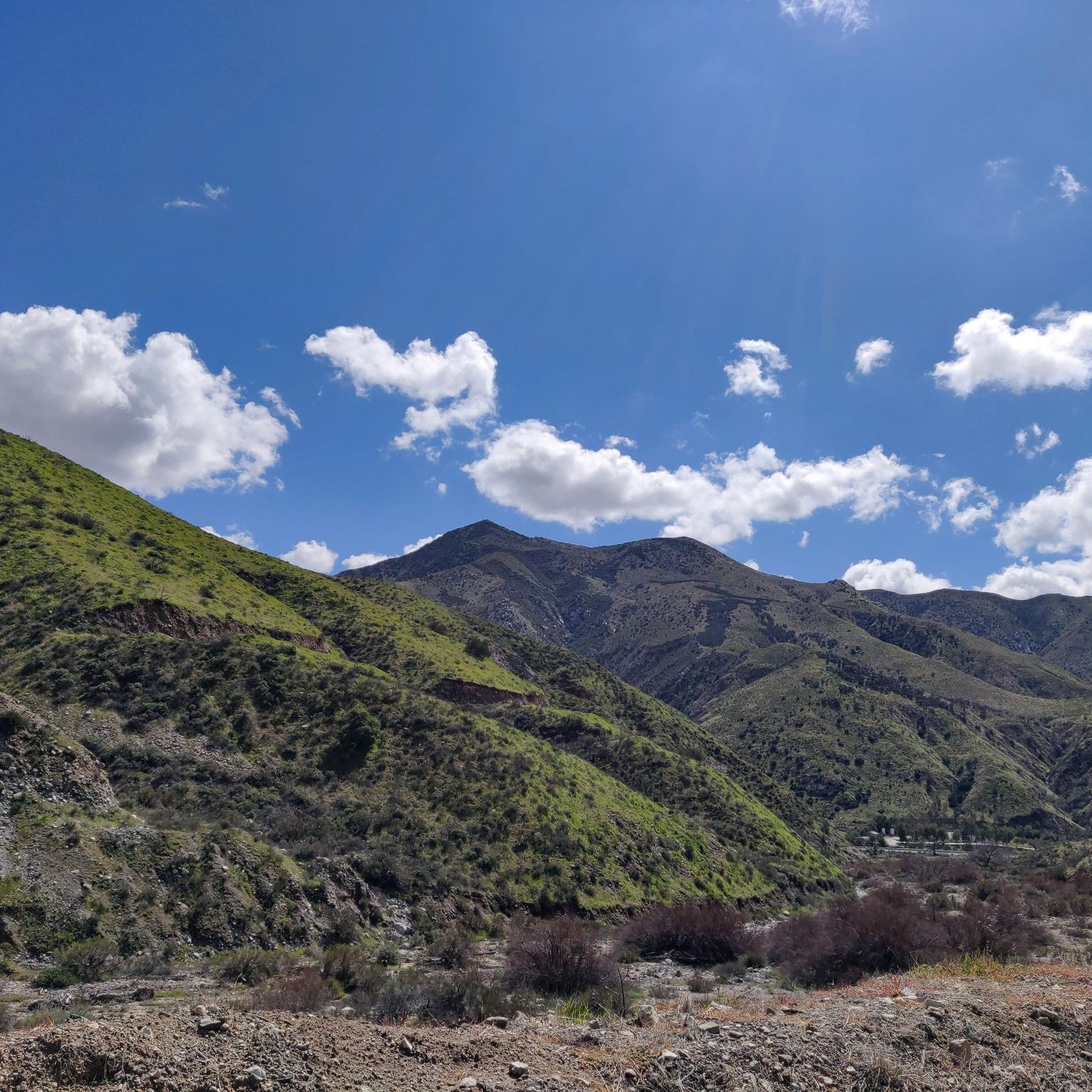
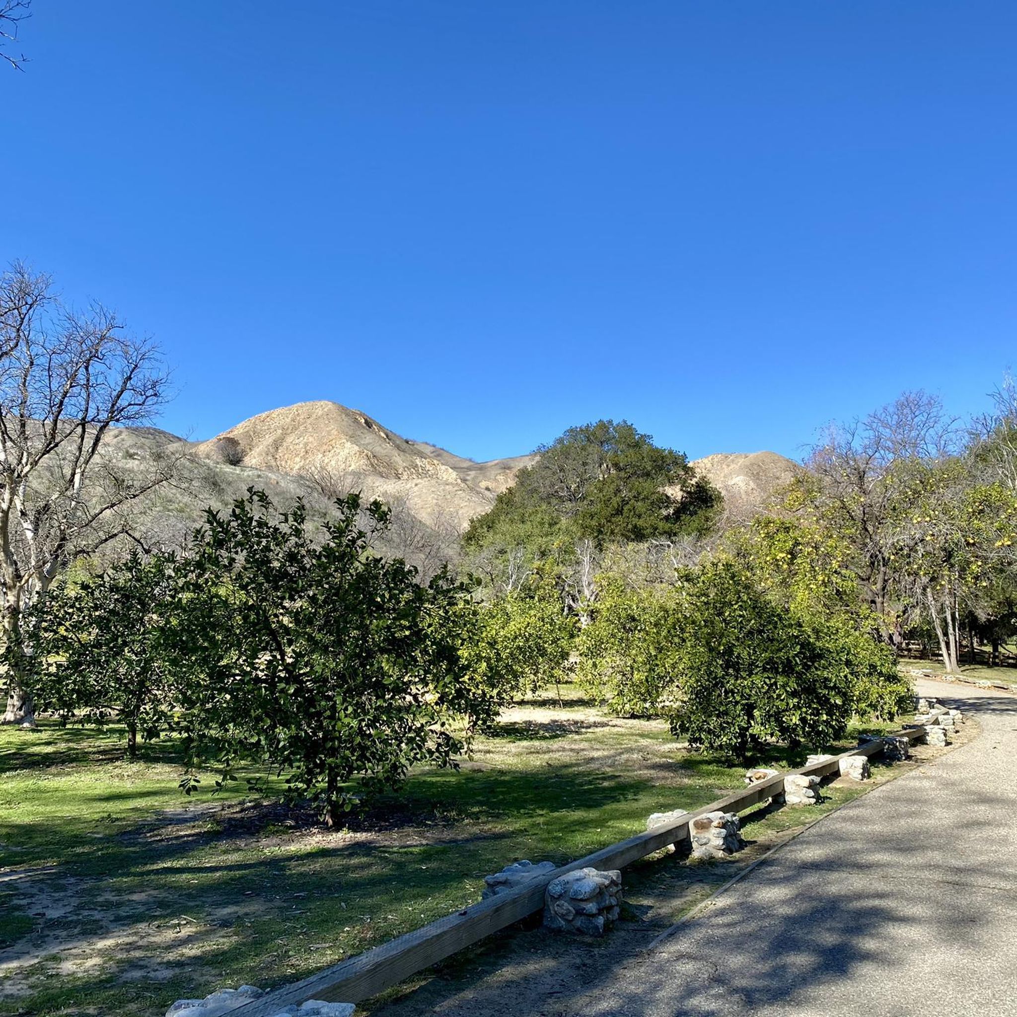
Road cycling routes in Stetson Ranch Park offer diverse terrain for cyclists, characterized by mountain views, rolling grasslands, and oak woodlands. The area features paved paths along river systems, including the Santa Clara River, alongside more challenging routes through canyons. Cyclists can experience varied elevation changes, from relatively flat paths to routes with significant climbs. The landscape provides a tranquil setting for outdoor activities.
Best road cycling routes in Stetson Ranch Park
- The most popular road cycling route is Dillon…
Last updated: October 3, 2026
25
riders
55.5km
03:06
1,020m
1,020m
Hard road ride. Very good fitness required. Mostly well-paved surfaces and easy to ride.
7
riders
48.4km
02:45
940m
940m
Hard road ride. Very good fitness required. Some segments of this route may be unpaved and difficult to ride.

30
riders
Hard road ride. Very good fitness required. Mostly well-paved surfaces and easy to ride.
9
riders
78.7km
04:24
1,370m
1,370m
Hard road ride. Very good fitness required. Some segments of this route may be unpaved and difficult to ride.
3
riders
67.5km
03:51
1,380m
1,380m
Hard road ride. Very good fitness required. Mostly well-paved surfaces and easy to ride.
Get access to more routes and recommendations from other explorers.
Already have an account?
Our route recommendations are based on thousands of hikes, rides, and runs completed by other people on komoot.
Start today with a free account
Your next adventure awaits.
Popular around Stetson Ranch Park


Tips from the Community


Placerita Canyon Road is a doubletrack dirt trail accessible for hiking or biking. A gate blocks vehicle access, and the road offers a scenic route trough the Placerita Canyon Natural Area.
1
0

Established by the California State Legislature in 1980, the Santa Monica Mountains Conservancy has preserved over 75,000 acres of parkland in both wilderness and urban areas—a truly beautiful achievement.
0
0

North of Los Angeles is a beautiful canyon. It runs from Newhall to Sand Canyon Road. This land was once occupied by Tataviam Native Americans. The canyon provides beautiful views of the western San Gabriel Mountains and it makes for a super good cycle section.
0
0
During spring migration, this spot transforms into a hotspot for birdwatchers, with thousands of birds (even 20,000!) soaring through a nearby mountain gap, offering a truly awe-inspiring spectacle. Keep an eye out for vibrant lupine flowers, adding splashes of color to the hillside.
0
0
Immerse yourself in the beauty of the Angeles National Forest, with towering trees and lush greenery providing a tranquil escape. Spot diverse wildlife, from majestic birds to playful squirrels, as you journey through this natural wonderland.
0
1

Chatsworth Nature Preserve is a 1,324-acre nature preserve within the city limits of Los Angeles. The park supports over 200 species of birds and a diverse population of other animals.
1
0
Within the trees around this roadside area is a large rock overhang that is known as the Manson Family Cave. It is the spot where the infamous and murderous Manson Family posed for a photograph while hunkered together under this large rock. The photograph was published in Time Magazine after their horrible crimes.
0
0
Frequently Asked Questions
How many road cycling routes are available in the Stetson Ranch Park area?
The region around Stetson Ranch Park offers nearly 30 road cycling routes, catering to various skill levels. You'll find a mix of easy, moderate, and difficult options to explore.
Is Stetson Ranch Park itself suitable for road cycling?
While Stetson Ranch Park is primarily known for equestrian and mountain biking trails, its location provides excellent access to a wealth of road cycling opportunities in the surrounding Santa Clarita area. The region features an extensive network of paved paths and scenic routes perfect for road cyclists.
What kind of terrain can I expect on road cycling routes near Stetson Ranch Park?
Road cycling in this region offers diverse terrain. You'll find relatively flat, paved paths along river systems like the Santa Clara River, as well as more challenging routes through canyons such as Little Tujunga Canyon and Placerita Canyon. Expect varied elevation changes and views of oak woodlands and the western San Gabriel Mountains.
Are there routes suitable for beginners or less experienced road cyclists?
Yes, there are several options for less experienced road cyclists. The area features 3 easy routes, often on paved paths like sections of the Santa Clara River Trail, which provide a more relaxed ride with picturesque river views.
What are some challenging road cycling routes in the area?
For those seeking a challenge, the region offers 12 difficult routes. A notable option is the Dillon Divide – Bear Divide loop from Sylmar/San Fernando, a 34.5-mile route with substantial elevation gain. Another demanding ride is the Placerita Canyon Road – Towers above Camp 9 loop from Sylmar/San Fernando, which covers 41.9 miles and features significant climbs.
Are there any loop road cycling routes available?
Yes, many of the road cycling routes in the area are designed as loops, offering varied scenery without retracing your path. For example, the Santa Susana Pass Road loop from Sylmar/San Fernando is a popular moderate loop covering 28.9 miles with varied terrain.
What do other road cyclists enjoy most about road cycling in the Stetson Ranch Park area?
The routes in this region are highly rated by the komoot community, with an average score of 5.0 stars. Cyclists often praise the diverse terrain, from river corridors to challenging canyon roads, and the scenic views of oak woodlands and mountain ranges.
Are there family-friendly road cycling paths in the area?
Yes, the Santa Clarita area, adjacent to Stetson Ranch Park, offers family-friendly options. The Santa Clara River Trail and San Francisquito Creek Trail are completely paved paths, providing accessible and safe environments for families to enjoy cycling together.
What is the best time of year to go road cycling in this region?
The Southern California climate generally allows for road cycling year-round. However, spring and fall offer particularly pleasant temperatures. While Whitney Canyon Park, nearby, features year-round springs, it's always wise to check local weather forecasts, especially for summer heat or potential winter rains.
What are some scenic viewpoints or natural features along the road cycling routes?
The region is rich in natural beauty. Routes often pass through oak woodlands and riparian corridors, especially near Whitney Canyon Park. You'll also encounter stunning views of the western San Gabriel Mountains and various canyons like Little Tujunga Canyon and San Francisquito Canyon, providing a diverse and engaging cycling experience.
Where can I find parking for road cycling near Stetson Ranch Park?
While specific parking for Stetson Ranch Park itself might be geared towards equestrian and mountain biking, many road cycling routes in the Santa Clarita area have designated parking areas at trailheads or nearby parks. It's advisable to check the starting point of your chosen route for specific parking information.
Are there any permits required for road cycling in the Stetson Ranch Park area?
Generally, no specific permits are required for road cycling on public roads and designated paved trails in the Stetson Ranch Park and Santa Clarita area. However, always respect local regulations and private property signs.
Can I find cafes or restaurants near the road cycling routes?
The Santa Clarita area, which encompasses many of the road cycling routes, is well-developed. You'll find various cafes, restaurants, and other amenities in the towns and communities along or near the trails, especially in Santa Clarita city itself.
Most popular routes in Stetson Ranch Park

Get inspired with the komoot mobile app


Explore more
Browse the best Road cycling routes in other regions.
