Tunitas Creek Open Space Preserve (Closed)
Tunitas Creek Open Space Preserve (Closed)
The best cycling routes in Tunitas Creek Open Space Preserve (Closed)
5.0
(20)
398
riders
19
rides
Touring cycling in Tunitas Creek Open Space Preserve (Closed) offers routes through a landscape characterized by coastal proximity, rolling hills, and creek valleys within the San Mateo Coastside. The area features a mix of paved roads and rural paths, often winding through forested sections and open terrain. Elevation changes are common, providing varied challenges for cyclists. This region is part of the larger Santa Cruz Mountains, known for its diverse natural environment.
Best touring cycling routes in Tunitas Creek Open Space Preserve (Closed)
- The most popular touring cycling route is Gazos Creek Beach – San Gregorio State Beach loop from San Gregorio, a 33.4 miles (53.8 km) trail that takes 3 hours 20 minutes to complete. This route offers coastal views and significant elevation changes.
- Another top favourite among local touring cyclists is Stage Road – San Gregorio State Beach loop from San Gregorio, a difficult 14.8 miles (23.8 km) path. This route navigates along coastal roads and through rural landscapes.
- Local touring cyclists also love the Tunitas Creek Road loop from Martins Beach Public Parking, a 19.7 miles (31.8 km) trail leading through the Tunitas Creek valley, often completed in about 2 hours 35 minutes.
- Touring cycling in Tunitas Creek Open Space Preserve (Closed) is defined by coastal roads, creek-side paths, and rolling hills. The network offers options for easy, moderate, and difficult routes, catering to various skill levels.
- The routes in Tunitas Creek Open Space Preserve (Closed) are highly rated by the komoot community with an average score of 5.0 stars from over 15 reviews. More than 350 touring cyclists have used komoot to explore Tunitas Creek Open Space Preserve (Closed)'s varied terrain.
Last updated: July 8, 2026
5.0
(1)
14
riders
Moderate bike ride. Good fitness required. Mostly paved surfaces. Suitable for all skill levels.
5.0
(1)
10
riders
23.7km
01:33
330m
330m
Moderate bike ride. Good fitness required. Mostly paved surfaces. Suitable for all skill levels.

Sign up for free
6
riders
Hard bike ride. Very good fitness required. Mostly paved surfaces. Suitable for all skill levels.
3
riders
Easy bike ride. Great for any fitness level. Mostly paved surfaces. Suitable for all skill levels.
22
riders
11.9km
01:24
420m
420m
Moderate bike ride. Good fitness required. Mostly paved surfaces. Suitable for all skill levels.
Get access to more routes and recommendations from other explorers.
Sign up for free
Already have an account?
Our route recommendations are based on thousands of hikes, rides, and runs completed by other people on komoot.
Start today with a free account
Your next adventure awaits.
Login or Signup
Popular around Tunitas Creek Open Space Preserve (Closed)

Classy road bike rides on the SF peninsula

Hiking in Tunitas Creek Open Space Preserve (Closed)

MTB Trails in Tunitas Creek Open Space Preserve (Closed)
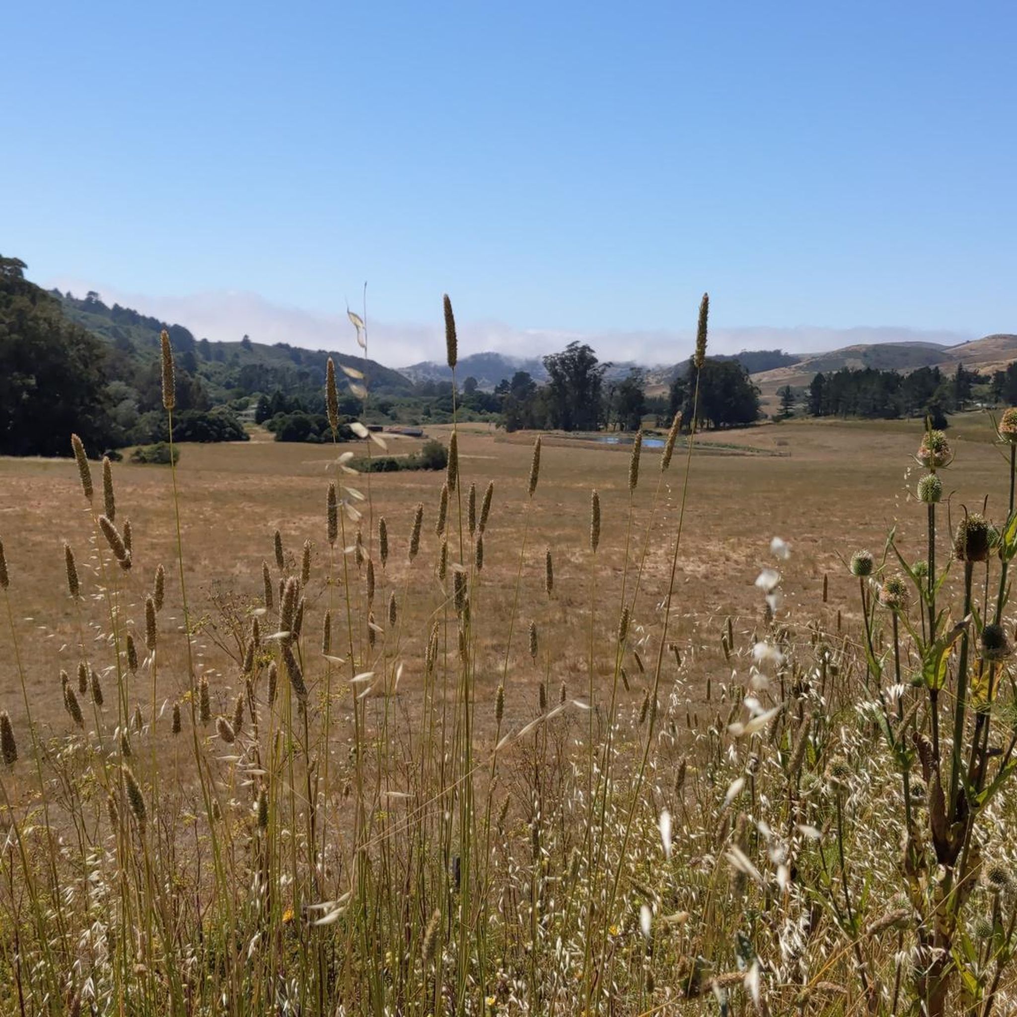
Road Cycling Routes in Tunitas Creek Open Space Preserve (Closed)
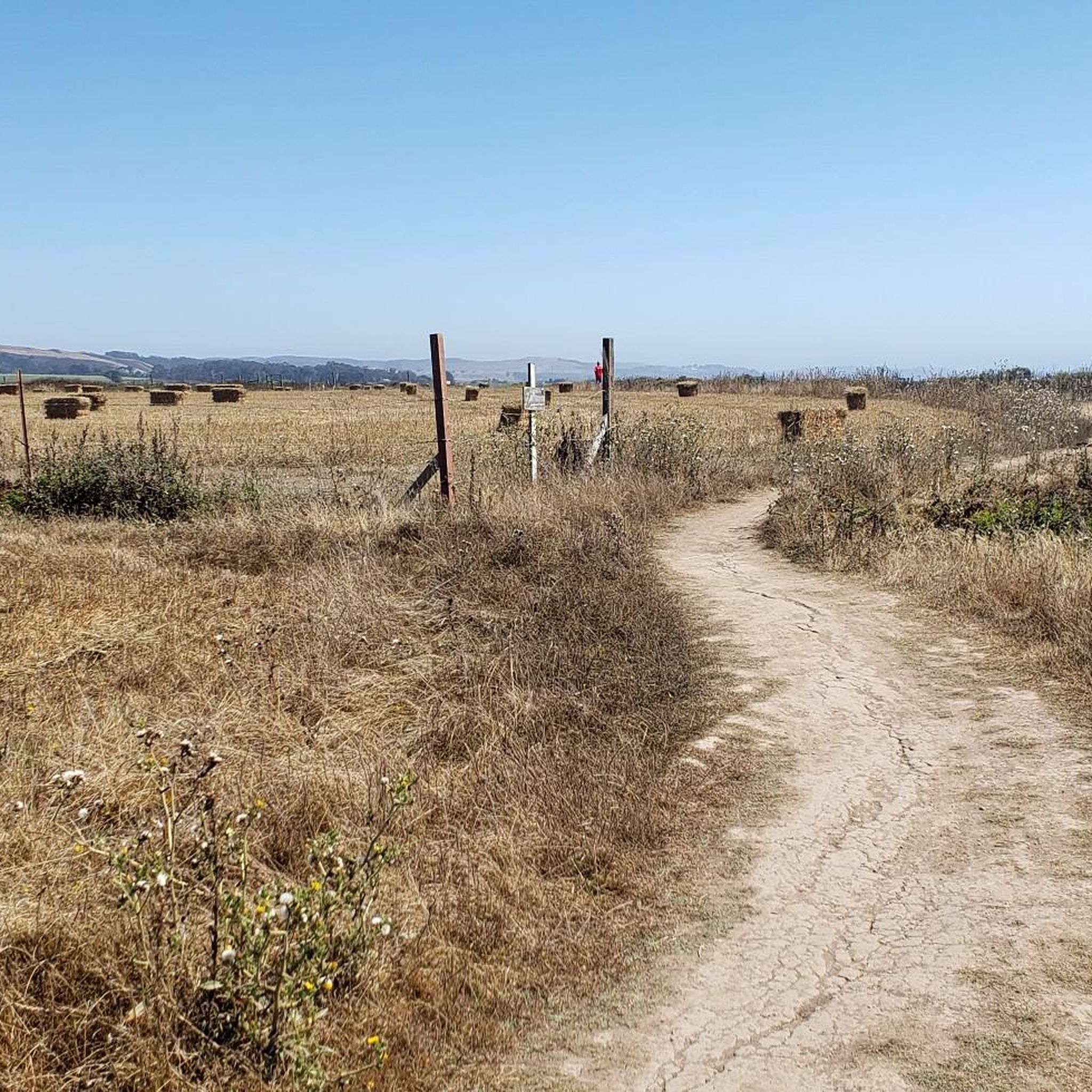
Running Trails in Tunitas Creek Open Space Preserve (Closed)

Gravel biking in Tunitas Creek Open Space Preserve (Closed)
Other adventures in Tunitas Creek Open Space Preserve (Closed)

Tips from the Community

Tunitas Creek Road is a popular road climb leading up to Kings Mountain. It is normally low traffic and takes you pass beautiful forest and farms.
0
0
Great view from Purisima Creek Road onto the farms leading up to Whale Bone Beach. On a clear day, you can see the Pacific from this spot.
0
0

Purisima Creek Trailhead features a fence separating the trail from the road and a small pit toilet at the base. Parking is available just 250 feet southeast along Skyline Boulevard. This trail offers everything, from stunning views to towering redwoods, fern-filled canyons, and creeks. Riding through the redwoods is a unique experience.
0
0
Skyline Boulevard, also known as State Route 35, offers a scenic drive through the majestic redwoods of the Santa Cruz Mountains and Bay Area. Winding through forests, open spaces, and mountains, this section passes by the Purisima Creek Redwoods. It's a breathtaking ride through where the redwoods meet the road.
0
0

Half Moon Bay State Beach Campground offers both tent and RV camping with options for electric hookups or dry camping. While there are no water or sewer hookups, a dump station and water filling station are available. Quarter-operated hot showers , picnic areas, restrooms, and access to the Coastside Trail, are all available here. Dogs are also allowed in designated areas on leashes. Fires, drones, and fireworks, however, are prohibited to protect the natural environment and wildlife. Reservations for this popular campsite must be made through ReserveCalifornia, either online or by phone. The beach itself features four miles of sandy shores perfect for sunbathing, fishing, and picnicking.
0
1

San Gregorio State Beach is the perfect spot for starting and finishing long road rides. There is free parking along with public restrooms and water fountains here. It's worth locking up the bike and walking out onto the beach before you leave after your ride.
1
0

Skegg's Point, right off of Skyline Boulevard, has panoramic views of the surrounding peaks.
0
0
Morena Sierra is a peak within the Santa Cruz Mountains with an elevation of 2,417 feet; not to be confused with the Morena Sierra range of Spain.
0
0
Frequently Asked Questions
How many touring cycling routes are available in the Tunitas Creek Open Space Preserve area?
The Tunitas Creek Open Space Preserve area offers over 10 touring cycling routes. These routes cater to various skill levels, including easy, moderate, and difficult options, allowing cyclists to explore the diverse coastal and hilly terrain.
Are there any easy touring cycling routes suitable for beginners or families?
Yes, there are easy touring cycling routes available. For a relatively flat and scenic ride, consider the Half Moon Bay Beach Campground – Miramontes Point loop from Johnston Ranch. This route is 12.6 miles (20.3 km) long with minimal elevation gain, making it a good choice for a relaxed outing.
What are the best times of year to go touring cycling in the San Mateo Peninsula?
The San Mateo Peninsula, including the Tunitas Creek area, generally offers pleasant cycling conditions year-round. Spring and fall provide mild temperatures and often clear skies, ideal for longer rides. Summer can be foggy along the coast, offering a cool escape from inland heat, while winter can bring rain, but many days remain suitable for cycling, especially on paved roads.
Are there any circular touring cycling routes in the area?
Yes, many of the touring cycling routes in this region are designed as loops. For example, the popular Gazos Creek Beach – San Gregorio State Beach loop from San Gregorio offers a challenging 33.4 miles (53.8 km) ride with coastal views. Another option is the Tunitas Creek Road loop from Martins Beach Public Parking, which is 19.7 miles (31.8 km) and explores the Tunitas Creek valley.
Where can I find parking for touring cycling routes near Tunitas Creek?
Parking is typically available at designated trailheads or public access points. For instance, the Tunitas Creek Road loop starts from Martins Beach Public Parking, providing a convenient starting point for that route. Always check specific route details for recommended parking locations.
What kind of wildlife might I spot while cycling in the Santa Cruz Mountains area?
The Santa Cruz Mountains, encompassing the Tunitas Creek area, are rich in biodiversity. Cyclists might spot various bird species, deer, and occasionally smaller mammals. The diverse habitats, from coastal scrub to redwood forests, support a wide array of local fauna.
Are there any cafes or breweries near the Coastside bike trails for a stop?
The San Mateo Coastside features several charming towns like Half Moon Bay and San Gregorio, which offer cafes, bakeries, and local breweries. These can be found a short distance from many of the cycling routes, providing excellent spots for a break or refreshment. It's advisable to check specific town amenities along your chosen route.
What do other touring cyclists enjoy most about cycling in this region?
The area is highly rated by the komoot community, with an average score of 5.0 stars from over 15 reviews. Reviewers often praise the stunning coastal views, the challenging climbs and descents, and the peaceful, scenic roads that wind through forested sections and open terrain.
How do the routes near Purisima Creek compare to other local options?
Routes like the Purisima Creek Trailhead – Top of the climb loop offer significant elevation changes, making them quite challenging. This particular route is 22.7 miles (36.6 km) long with over 890 meters of ascent. It provides a different experience compared to flatter coastal rides, focusing more on the inland hills and redwood forests.
Are there any less crowded touring cycling routes in San Mateo County?
While popular routes can see more traffic, exploring some of the more challenging or less-known loops can offer a quieter experience. Routes that venture further inland or away from major coastal attractions might provide more solitude. For example, the Stage Road – San Gregorio State Beach loop from San Gregorio, while popular, offers a good mix of coastal and rural landscapes that can feel less crowded than main thoroughfares.
What are the typical difficulty levels for touring cycling in the Tunitas Creek area?
The Tunitas Creek area offers a range of difficulty levels. You'll find easy routes with minimal elevation, moderate routes with some rolling hills, and difficult routes featuring significant climbs and descents. For instance, there are 3 easy, 2 moderate, and 8 difficult routes listed, ensuring options for various fitness levels and preferences.
Most popular routes in Tunitas Creek Open Space Preserve (Closed)

Get inspired with the komoot mobile app


Explore more
Browse the best Cycling routes in other regions.
