The best road cycling routes in Butano State Park
5.0
(11)
450
riders
14
rides
Road cycling routes in Butano State Park are situated within the Santa Cruz Mountains and along the California coast, offering diverse terrain. While the park itself primarily features fire roads more suitable for gravel or mountain bikes, its location serves as a gateway to numerous paved road cycling routes. The region is characterized by redwood groves, agricultural valleys, and ocean vistas, providing varied landscapes for cyclists.
Best road cycling routes in Butano State Park
- The most popular road cycling route…
Last updated: September 1, 2026
5.0
(3)
120
riders
74.2km
03:28
870m
870m
Moderate road ride. Good fitness required. Mostly well-paved surfaces and easy to ride.
14
riders
Easy road ride. Great for any fitness level. Mostly well-paved surfaces and easy to ride.

Sign up for free
12
riders
81.8km
04:09
1,250m
1,250m
Hard road ride. Very good fitness required. Mostly well-paved surfaces and easy to ride.
5.0
(5)
78
riders
44.6km
02:01
490m
490m
Moderate road ride. Good fitness required. Mostly well-paved surfaces and easy to ride.
41
riders
75.0km
03:55
1,270m
1,270m
Hard road ride. Very good fitness required. Mostly well-paved surfaces and easy to ride.
Get access to more routes and recommendations from other explorers.
Sign up for free
Already have an account?
Our route recommendations are based on thousands of hikes, rides, and runs completed by other people on komoot.
Start today with a free account
Your next adventure awaits.
Login or Signup
Popular around Butano State Park
Tips from the Community

The Bike Hut is a small hut with fresh water, organic teas and coffee and a variety of snacks for cyclist passing by. It is self-serve and open 24/7. There is also a small picnic area, a bathroom and a message board for posting road conditions or notes to fellow cyclists.
0
0

Old La Honda Road is considered one of the most challenging climbs in the Bay Area. The road winds through Redwood forests, offering stunning views of the surrounding mountains and valleys, as well as a peaceful and enjoyable ride.
1
0

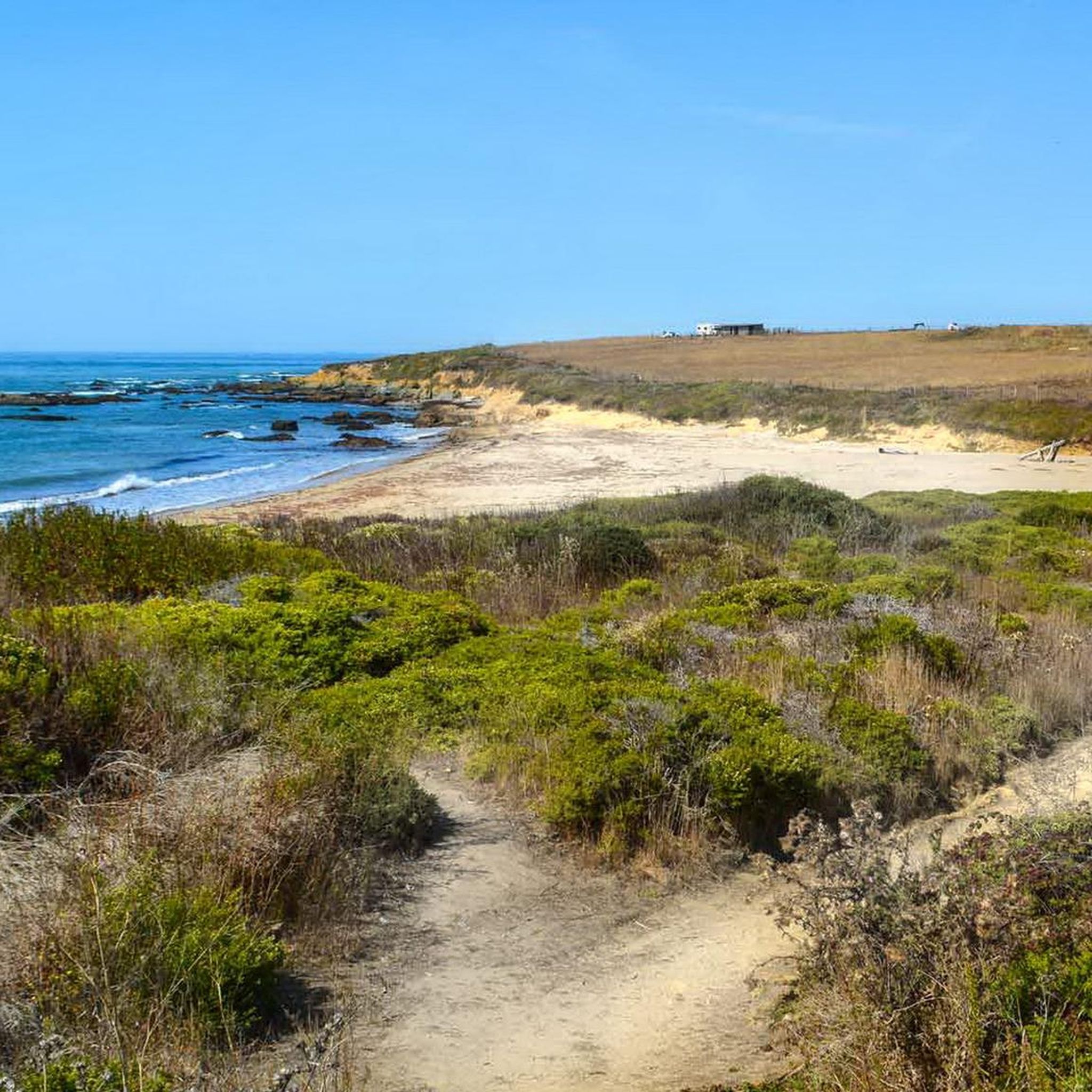
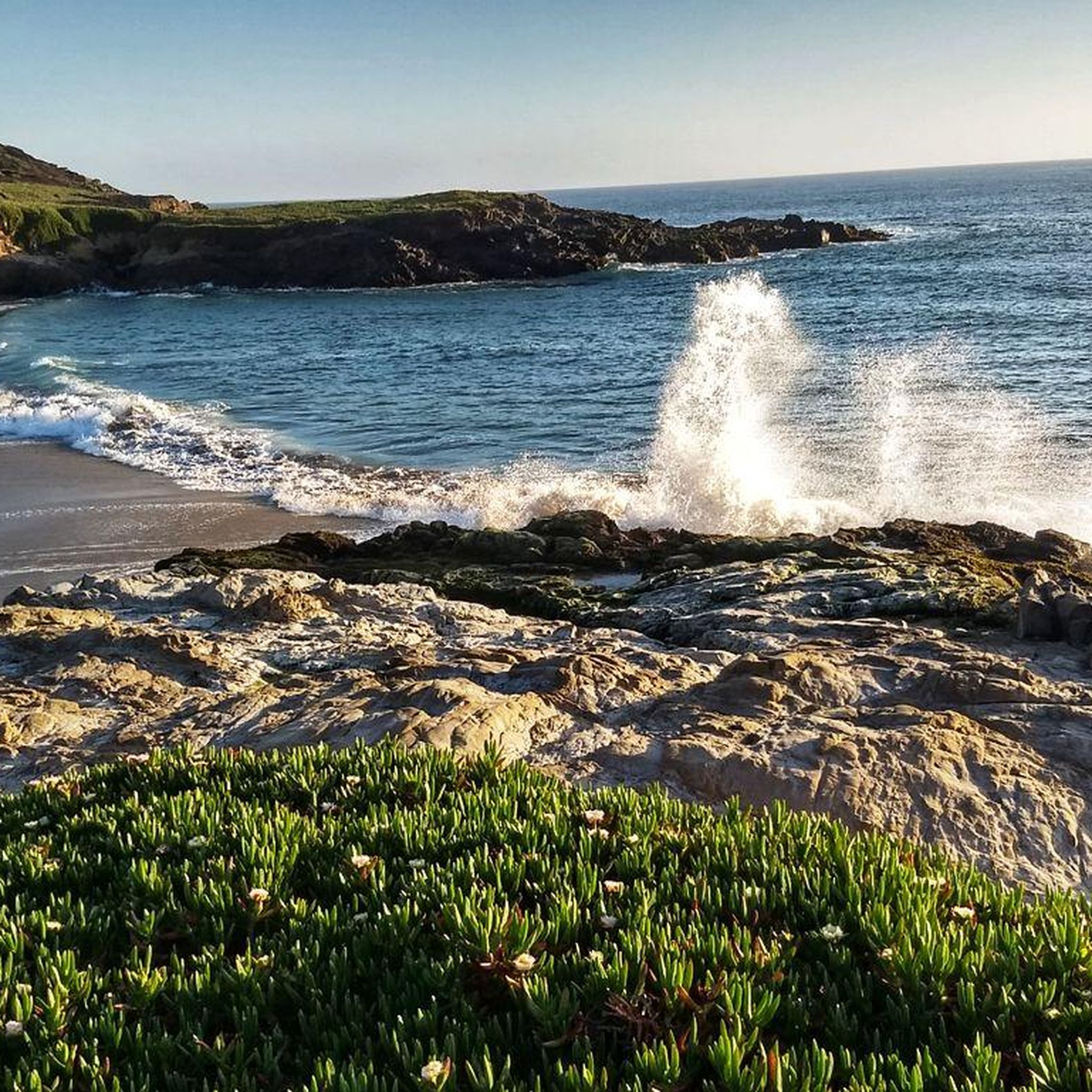
Walk across the short sandy beach to the rocky coast and enjoy the Pacific
0
0

San Gregorio State Beach is the perfect spot for starting and finishing long road rides. There is free parking along with public restrooms and water fountains here. It's worth locking up the bike and walking out onto the beach before you leave after your ride.
1
0


Rest and refuel at this little hut on the side of Tunitas Creek rd. provided by Potrero Nuevo Farm open 24/7-365 for cyclists.
0
0

This is a perfect segment to recharge your batteries before reaching Pescadero and climbing the mountain
0
0

A beautiful spot, with the incredible natural arch on the one side and the marsh scenery on the other.
0
0
Frequently Asked Questions
Are there paved road cycling routes directly within Butano State Park?
While Butano State Park is a beautiful area, traditional road cycling on paved routes is limited within the park itself. The park primarily features fire roads, which are generally dirt, steep, and have loose gravel, making them more suitable for mountain bikes or gravel bikes. However, the park's location serves as an excellent gateway to numerous acclaimed paved road cycling routes in the surrounding Santa Cruz Mountains and along the California coast.
What kind of landscapes can I expect on road cycling routes near Butano State Park?
The road cycling routes in the vicinity of Butano State Park offer a diverse range of landscapes. You'll experience everything from dense redwood groves that provide cool, shaded riding, to open coastal areas with refreshing ocean breezes and sweeping views of the Pacific. Many routes also wind through agricultural valleys and past charming farmlands, offering a rich blend of natural beauty.
How many road cycling routes are available in the Butano State Park area?
There are over 10 road cycling routes available in the Butano State Park area, catering to various skill levels. This includes 4 easy routes, 5 moderate routes, and 3 more challenging options, ensuring there's something for every road cyclist.
What is a popular moderate road cycling route in this region?
A popular moderate route is the Stage Road – Downtown Pescadero loop from Mayal's Beach. This 46.1-mile (74.2 km) route takes you along idyllic country roads, past farms and eucalyptus trees, featuring moderate climbs and scenic descents with ocean views.
Are there any routes that offer coastal views or pass by landmarks?
Yes, many routes in the area incorporate parts of Highway 1, providing stunning coastal views. For example, the Downtown Pescadero – Pigeon Point Lighthouse loop from Mayal's Beach is a 19.5-mile (31.4 km) trail that leads through coastal areas and offers opportunities to see landmarks like the Pigeon Point Lighthouse.
Where can I find amenities or refreshments during my ride?
The nearby charming town of Pescadero is a favored stop for cyclists. It offers places for refreshments, including a grocery store where you can get sandwiches, and a picnic area that even has a bike service station. It's a great spot to refuel and relax.
What is the difficulty level of road cycling routes near Butano State Park?
The routes near Butano State Park offer a range of difficulty levels. You can find easy loops, such as the Cloverdale Road – Downtown Pescadero loop from Quiroste Valley Cultural Preserve, as well as moderate and more challenging climbs, like sections of Cloverdale Road which can have grades averaging 7-8%.
What do other road cyclists say about the routes in this area?
The road cycling routes in the Butano State Park area are highly rated by the komoot community, with an average score of 5.0 stars from more than 10 reviews. Cyclists often praise the diverse terrain, from redwood forests to coastal paths, and the serene atmosphere of routes like Pescadero Creek Road & La Honda Road Loop.
Are there any routes that wind through redwood groves?
Absolutely. The region is known for its majestic redwood forests. A great example is the Pescadero Creek Road & La Honda Road Loop, a moderate 27.7-mile route that winds through redwood groves and farmlands, providing a serene and quintessential Bay Area riding experience.
Is there a particularly scenic road with minimal traffic for cycling?
Yes, Gazos Creek Road is described as a narrow, wooded country road with minimal traffic, offering a particularly scenic stretch for cycling. It's an excellent choice if you're looking for a quieter, more immersive experience in nature.
What is the best time of year for road cycling near Butano State Park?
The region generally offers pleasant cycling conditions throughout much of the year. The dense redwood forests provide cool, shaded riding, which can be particularly enjoyable during warmer months. Coastal areas offer refreshing breezes. It's always a good idea to check local weather forecasts before heading out, as conditions can vary.
Can I find longer, more challenging road cycling routes in the area?
Yes, for those seeking a longer and more challenging ride, the Pescadero Creek Road – Stage Road loop from Pescadero is a difficult 74.2 km (46.1 miles) route with significant elevation gain, offering a robust workout and extensive exploration of the diverse landscapes.
Most popular routes in Butano State Park

Get inspired with the komoot mobile app


Explore more
Browse the best Road cycling routes in other regions.
