Saratoga Gap Open Space Preserve (Closed Areas)
Saratoga Gap Open Space Preserve (Closed Areas)
The best running trails in Saratoga Gap Open Space Preserve (Closed Areas)
4.6
(20)
1,232
runners
86
runs
Jogging in Saratoga Gap Open Space Preserve (Closed Areas) offers diverse landscapes across approximately 1,600 acres in the Santa Cruz Mountains. The preserve features an extensive network of trails that traverse moist evergreen forests, oak-madrone woodlands, and high grasslands. Elevations reach up to 2,600 feet, providing varied terrain with both challenging inclines and more level sections suitable for running.
Best jogging routes in Saratoga Gap Open Space Preserve (Closed Areas)
- The most popular jogging route is Canyon Trail — Monte Bello Open Space Preserve, a 7.5 miles (12.0 km) trail that takes 1 hour 20 minutes to complete. This moderate route offers a mix of woodlands and open areas.
- Another top favourite among local runners is Achistaca Trail to Turtle Rock, a moderate 4.6 miles (7.4 km) path. This route leads through varied environments, including forested sections.
- Local runners also love the Summit Rock Loop Trail, a 3.3 miles (5.3 km) trail leading through woodlands and offering scenic viewpoints, often completed in about 43 minutes.
- Jogging in Saratoga Gap Open Space Preserve (Closed Areas) is defined by diverse forests, high grasslands, and unique geological formations like sculpted sandstone. The extensive trail network offers options for different ability levels, from easy paths to more difficult ascents.
- The routes in Saratoga Gap Open Space Preserve (Closed Areas) are highly rated by the komoot community with an average score of 4.8 stars from over 28 reviews. More than 1500 runners have used komoot to explore Saratoga Gap Open Space Preserve (Closed Areas)'s varied terrain.
Last updated: July 9, 2026
1
runners
12.0km
01:20
290m
290m
Moderate run. Good fitness required. Mostly paved surfaces. Suitable for all skill levels.
8
runners
7.35km
00:53
150m
150m
Moderate run. Good fitness required. Mostly paved surfaces. Suitable for all skill levels.

Sign up for free
3
runners
5.28km
00:43
210m
210m
Moderate run. Good fitness required. Mostly paved surfaces. Suitable for all skill levels.
6
runners
7.43km
00:59
180m
180m
Hard run. Good fitness required. Sure-footedness, sturdy shoes and alpine experience required.
7
runners
6.19km
00:50
190m
190m
Moderate run. Good fitness required. Mostly paved surfaces. Suitable for all skill levels.
Get access to more routes and recommendations from other explorers.
Sign up for free
Already have an account?
Our route recommendations are based on thousands of hikes, rides, and runs completed by other people on komoot.
Start today with a free account
Your next adventure awaits.
Login or Signup
Popular around Saratoga Gap Open Space Preserve (Closed Areas)
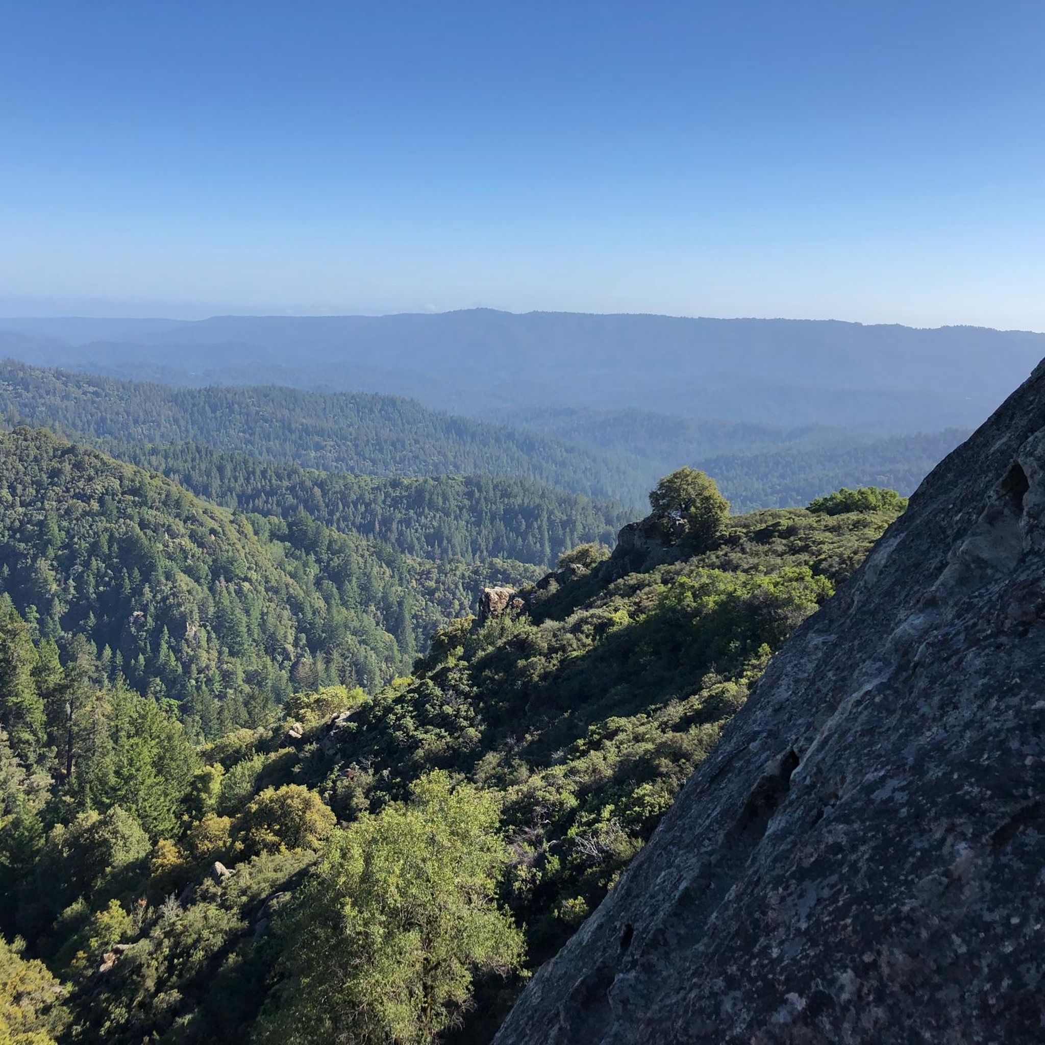
Hiking in Saratoga Gap Open Space Preserve (Closed Areas)
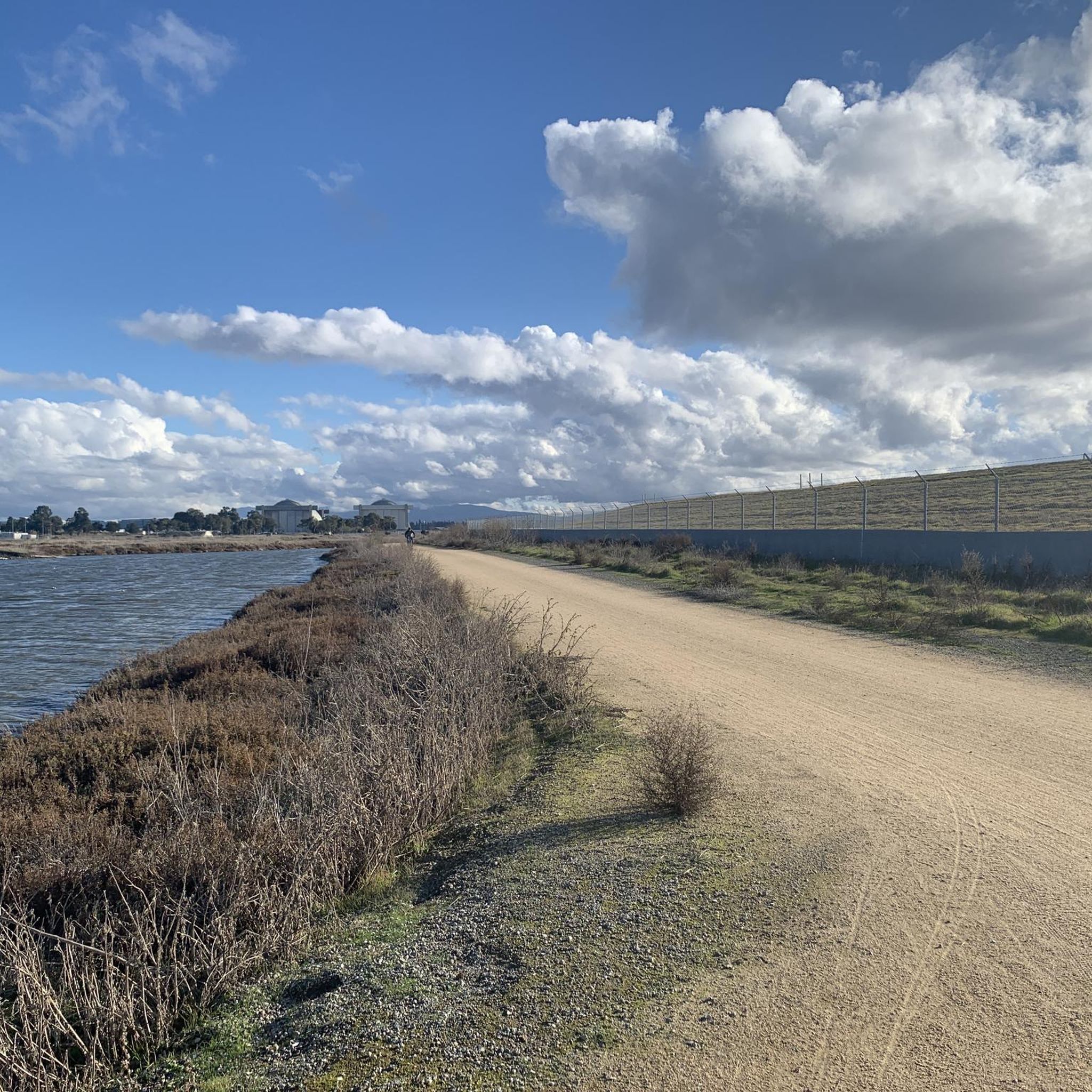
Road Cycling Routes in Saratoga Gap Open Space Preserve (Closed Areas)
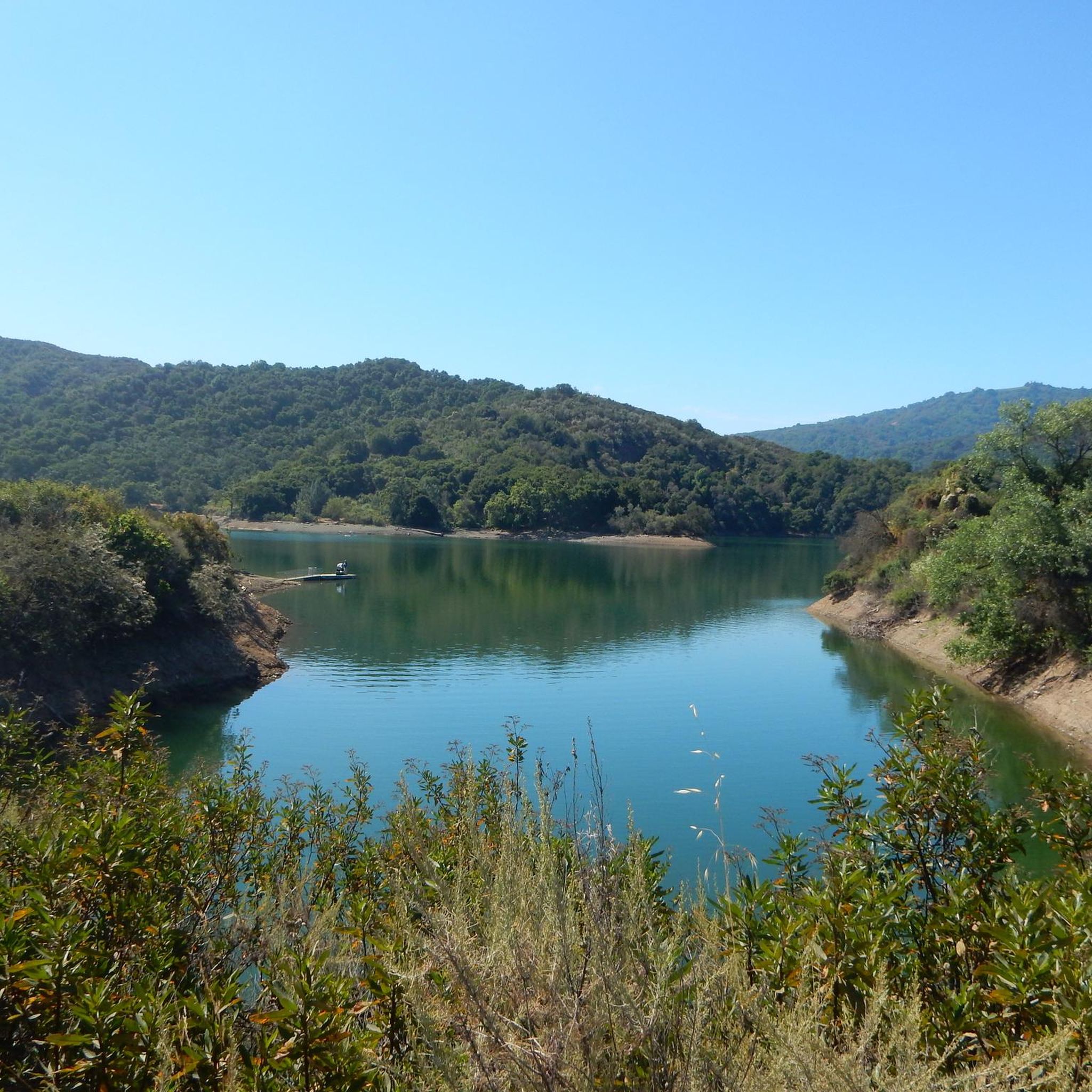
MTB Trails in Saratoga Gap Open Space Preserve (Closed Areas)
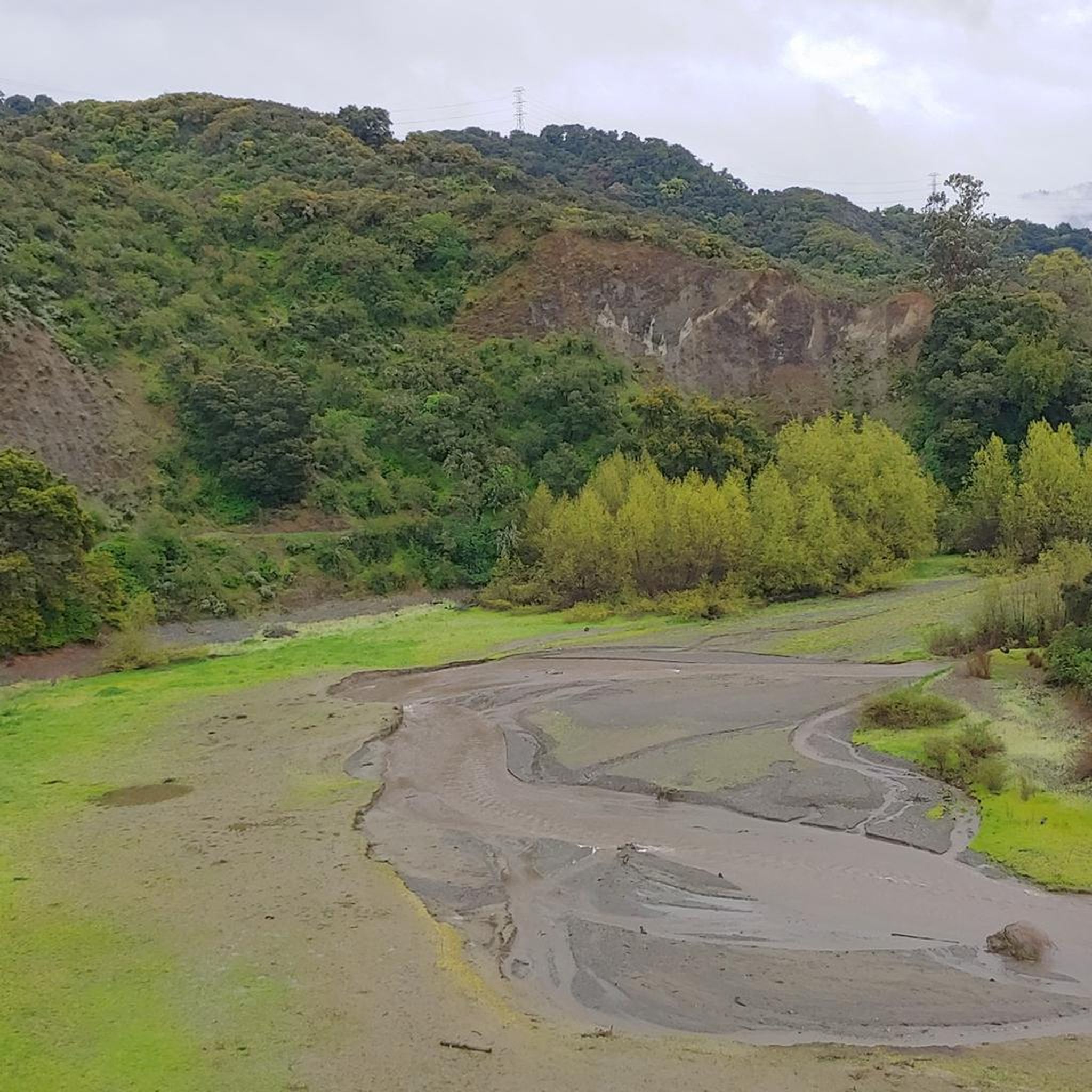
Cycling in Saratoga Gap Open Space Preserve (Closed Areas)

Gravel biking in Saratoga Gap Open Space Preserve (Closed Areas)
Tips from the Community

Turtle Rock is the highest and most prominent mountain in the area. From this viewpoint, you can enjoy a panoramic view of the surrounding mountains, especially stunning at sunset. Be cautious, as the trail is popular and often busy with hikers.
1
0

Zinfandel Trail is a nice trail with plenty of tree coverage. There are a few steep inclines, but for the most part the trail is easy going. Unfortunately, dogs are not allowed, so take that into consideration. There is tons of wildlife to spectate including deer, all sorts of birds and plants, and mountain lions.
0
0

This beautiful trail passes through madrone and oak woods before emerging into grasslands peppered with very large old oak trees. The wooded areas on the route are a welcome relief on a hot day. The trail runs along Steven Creek and its tributaries, offering a lush forest floor ladened with wild rose, ferns and gooseberry under the California bay and big-leaf maple trees.
0
0

Indian Rock, a natural climbing spot, is located at the entrance of the Sanborn-Skyline County Park. The rock consists of Sandstone, but don't have the red colors that are so commonly found in the American southwest.
0
0
Turtle Rock gets its name because it looks like a little turtle with its head sticking up. This is a stunning spot to take a break and enjoy the overlook of the rolling hills and clouds roaming through the valleys.
0
0
Indian Rock, natural climbing spot is located at the entrance of the Sanborn-Skyline County Park. The rock consists of Sandstone but don't have the red colors that are so commonly found in the American southwest.
1
0

Saratoga Gap Trail here meets Skyline Trail after crossing Canyon Springs Rd, just east of the big intersection. The road and trailhead parking are the only interruption in otherwise pure bliss single track trails.
0
1

Frequently Asked Questions
How many running routes are available in Saratoga Gap Open Space Preserve?
Saratoga Gap Open Space Preserve offers a wide selection of running routes, with over 80 different trails to explore. These routes cater to various fitness levels, ensuring there's something for everyone.
What are the difficulty levels of the jogging routes in Saratoga Gap Open Space Preserve?
The preserve features a diverse trail network with routes suitable for all abilities. You'll find approximately 9 easy routes, over 50 moderate routes, and more than 20 difficult routes, providing options for casual jogs to challenging runs.
Are there any family-friendly running trails in Saratoga Gap Open Space Preserve?
Yes, for families or those looking for a less strenuous run, there are several easy routes available. These paths often traverse through shaded woodlands, providing a pleasant experience for all ages. Consider exploring some of the shorter, less elevated trails for a family-friendly outing.
Can I bring my dog on the trails in Saratoga Gap Open Space Preserve?
No, dogs are not permitted on the trails within Saratoga Gap Open Space Preserve. This rule helps protect the preserve's natural environment and wildlife.
What kind of natural features or attractions can I expect to see while jogging?
Joggers can experience diverse landscapes including moist evergreen forests, oak-madrone woodlands, and high grasslands. Notable features include unique geological formations like tufa formations and intricately sculpted sandstone, such as at Goat Rock. After rains, Castle Rock Falls is a prominent attraction, adding visual and auditory interest to your run.
Are there any loop running routes in Saratoga Gap Open Space Preserve?
Yes, the preserve offers several loop options for runners. For example, the Summit Rock Loop Trail is a popular 3.3-mile route that takes you through woodlands and offers scenic viewpoints.
What do other runners say about the trails in Saratoga Gap Open Space Preserve?
The running routes in Saratoga Gap Open Space Preserve are highly rated by the komoot community, with an average score of 4.8 stars from over 28 reviews. Runners often praise the varied terrain, the refreshing shaded sections, and the beautiful panoramic views from higher elevations.
Is there parking available at the trailheads?
While the region research doesn't specify exact parking facilities, Saratoga Gap Open Space Preserve is a popular destination with designated trailheads. It is generally advisable to arrive early, especially on weekends, to secure parking. Always check local signage for specific parking regulations.
Are there any historical points of interest along the running routes?
Yes, the preserve has historical significance. The Saratoga Toll Road, for instance, was once an 1871 logging road and stagecoach line. Today, it serves as a scenic trail, blending natural beauty with a touch of history for runners to enjoy.
What is a good moderate running route to try in the preserve?
A great moderate option is the Achistaca Trail to Turtle Rock. This 4.6-mile path leads through varied environments, including beautiful forested sections, offering a balanced challenge.
What is the best time of year to go jogging in Saratoga Gap Open Space Preserve?
The preserve offers enjoyable running conditions year-round. However, after significant rains, features like Castle Rock Falls are at their most impressive. The diverse forests provide ample shade, making it pleasant even on warmer days. Always check current trail conditions before heading out.
Does Saratoga Gap Open Space Preserve connect to other trail networks?
Yes, the preserve is a crucial link within the Bay Area's extensive trail network. It connects to neighboring parks such as Castle Rock State Park, Sanborn-Skyline County Park, and Long Ridge Open Space Preserve, allowing for longer and more varied running adventures.
Most popular routes in Saratoga Gap Open Space Preserve (Closed Areas)

Get inspired with the komoot mobile app


Explore more
Browse the best Running Trails & Routes in other regions.
