The best walks and hikes in Sanborn County Park
4.6
(304)
4,582
hikers
25
hikes
Hikes in Sanborn County Park are set within the Santa Cruz Mountains above Saratoga. The park's terrain is characterized by mixed forests with groves of second-growth redwoods, steep ravines, and shaded creek-side paths. The trail network includes both wide, gradual multi-use routes and more challenging singletrack ascents to higher elevations.
Best hiking trails in Sanborn County Park
- The most popular hiking route is the John Nicholas Trail to The Peak — Sanborn County Park, a 9.4 mile (15.2 km) trail that takes around 4 hours 25 minutes to complete. This route follows a wide path with a steady incline toward the park's summit.
- Another top favourite among local hiking enthusiasts is the San Andreas to Sanborn Trail loop — Sanborn County Park, a moderate 3.7 mile (6.0 km) path. The trail combines sections of the San Andreas and Sanborn trails for a varied loop.
- Local hiking enthusiasts also love the Castle Rock Falls loop - Castle Rock State Park, a 5.3 mile (8.6 km) trail leading through adjacent parkland, often completed in about 2 hours 40 minutes.
- Hiking in Sanborn County Park is defined by redwood groves, shaded canyons, and connections to ridge-top trails. The network of over 20 routes provides options for different ability levels, from short walks to longer, more strenuous hikes.
- The routes in Sanborn County Park are highly rated by the komoot community with an average score of 4.7 stars from over 180 reviews. More than 2,500 hikers have used komoot to explore Sanborn County Park's varied terrain.
Last updated: August 31, 2026
4.3
(3)
52
hikers
19.2km
05:48
610m
580m
The Saratoga Gap and Ridge Trail Loop offers a rewarding and diverse hiking experience through the Santa Cruz Mountains. You'll traverse varied terrain, from dense forests of oak and redwood to open chaparral, with panoramic viewpoints like Skyline Boulevard Views showcasing the vast landscape. This difficult 11.9-mile (19.2 km) route involves 2014 feet (614 metres) of elevation gain and takes approximately 5 hours and 47 minutes, making it a substantial challenge for fit hikers.
Planning your visit to this Castle Rock State Park gem means preparing for a full day on the trail. While parking is available, arriving early is recommended, especially during peak times. Be aware that some sections are rocky and may require scrambling, so sturdy footwear is essential. Castle Rock Falls is a highlight, but its flow is dependent on recent rainfall, so consider a spring trip for the best chance to see it.
Beyond the physical challenge, the trail is notable for its unique geological features, including the impressive Vaqueros sandstone formations and the massive Goat Rock, which attracts rock climbers. You'll also experience diverse ecosystems, offering glimpses of various tree types and potential wildlife sightings. This loop provides a comprehensive exploration of the natural beauty and geological wonders of the Santa Cruz Mountains.
4.8
(6)
42
hikers
12.4km
04:23
890m
400m
Embark on the Sanborn Loop to Indian Rock for a moderate hiking adventure that takes you through diverse and often shaded forests. You will traverse 7.7 miles (12.4 km) with a significant elevation gain of 2935 feet (895 metres), a journey that typically takes around 4 hours and 22 minutes to complete. The trail winds past impressive sandstone outcrops and through moist sections where trees are covered in moss and ferns thrive. Your efforts will be rewarded at Indian Rock, a unique sandstone formation featuring small caves and offering some of the best views along the route.
To begin your hike, head to the Sanborn County Park Headquarters, where you will find convenient parking facilities. This trail is particularly enjoyable on warmer days, thanks to the extensive shade provided by Douglas fir, oak, and madrone trees. Be prepared for some challenging uphill sections, especially as you approach the Skyline Trail, which will test your endurance. Always check the local park information before your visit for any updates on trail conditions or potential access changes.
This route stands out for its varied terrain and the striking geological features you will encounter. The immense sandstone outcrops are a defining characteristic, providing a dramatic backdrop to your journey. The dense, moist sections of the forest, with their moss-covered trees and ferns, create a distinct atmosphere. This combination of challenging ascents and unique natural beauty makes the Sanborn Loop to Indian Rock a rewarding experience within Sanborn County Park.

Sign up for free
5.0
(4)
27
hikers
13.4km
04:12
510m
530m
The Saratoga Gap and Ridge Trail Loop offers a truly diverse hiking experience, guiding you through a captivating mix of shaded forests and open chaparral. You'll traverse paths under towering oaks and Douglas-firs, then emerge onto ridgelines with sweeping views of the Santa Cruz Mountains. Keep an eye out for the impressive sandstone formations like Goat Rock, a massive 110-foot tall feature, and the dramatic Castle Rock Falls, which plunges 70-80 feet and is particularly stunning in wetter seasons.
This difficult 8.3-mile (13.4 km) loop involves a substantial 1674 feet (510 metres) of elevation gain, typically requiring about 4 hours and 12 minutes to complete. The terrain includes rock scrambling, carved stairs, and even a narrow ledge with a cable, so good fitness and sure-footedness are essential. While there are no specific permit requirements mentioned, checking the Castle Rock State Park website for current conditions and arriving early for parking is always a smart move.
What makes this trail stand out is its blend of geological wonders and expansive vistas. Beyond the climbing opportunities at Castle Rock and Goat Rock, the route provides panoramic views stretching all the way to Monterey Bay on clear days. The diverse ecosystems, from high-elevation redwoods to open chaparral, showcase the rich natural beauty of the Santa Cruz Mountains, making it a rewarding adventure for those seeking a challenging and scenic hike.
5.0
(2)
16
hikers
2.65km
00:48
90m
50m
The Castle Rock Nature Trail offers a compact yet adventurous hiking experience through the diverse landscapes of Castle Rock State Park. You'll traverse a mix of forested areas with madrone and Douglas fir, transitioning to exposed chaparral, all while navigating dirt single tracks and impressive sandstone boulders. Keep an eye out for the unique "tafoni" patterns etched into the rock formations and enjoy panoramic views of the San Lorenzo Watershed and the Santa Cruz Mountains from various overlooks.
This difficult 1.6-mile (2.7 km) hike involves 303 feet (92 metres) of elevation gain and typically takes around 47 minutes. Be ready for steep sections and some scrambling over rocks, especially if you're looking for a good workout. Trekking poles are recommended for the more technical parts, and checking trail conditions, particularly after rain, is a good idea as some sections can be slippery.
What makes this trail truly special is its unique geology, featuring Vaqueros sandstone formed millions of years ago, and its connection to a broader network of trails like the Saratoga Gap Trail. The park's namesake, Castle Rock, is a significant landmark and a popular spot for bouldering, adding to the area's appeal for outdoor enthusiasts. It's a fantastic option for those seeking a challenging short hike with big scenic rewards.
5.0
(1)
6
hikers
18.1km
05:52
980m
410m
The Saratoga Gap and Ridge Trail Loop offers a dynamic hiking experience through diverse landscapes, from dense forests to open ridgelines. You'll navigate rocky sections and even some boulder scrambling, passing intriguing tufa formations and the prominent Goat Rock, all while enjoying sweeping views of the Santa Cruz Mountains and, on clear days, the distant Monterey Bay. The trail also features the beautiful Castle Rock Falls, a 70 to 80-foot cascade. This difficult 11.2-mile (18.1 km) route with 3211 feet (979 metres) of elevation gain is a substantial undertaking, typically requiring around 5 hours and 51 minutes to complete.
To plan your visit, remember that this trail is located in Castle Rock State Park. While specific parking information isn't detailed, arriving early is always a good strategy for popular trailheads. The Castle Rock Campground is a useful spot along the loop for a break and water access. Be sure to carry ample water, especially when hiking during warmer periods, as parts of the ridge are exposed.
This loop is celebrated for its consistently stunning views and unique geological features, making it one of the more popular routes in the Santa Cruz Mountains. The constant shift between shaded woodland and open chaparral provides a rich ecological experience, showcasing various plant life including oak, pine, madrone, and high-elevation redwoods. It's a fantastic choice for experienced hikers looking for a challenging day out with high scenic rewards.
Get access to more routes and recommendations from other explorers.
Sign up for free
Already have an account?
Our route recommendations are based on thousands of hikes, rides, and runs completed by other people on komoot.
Start today with a free account
Your next adventure awaits.
Login or Signup

Tips from the Community

Beautiful waterfall, but very touristy
0
0

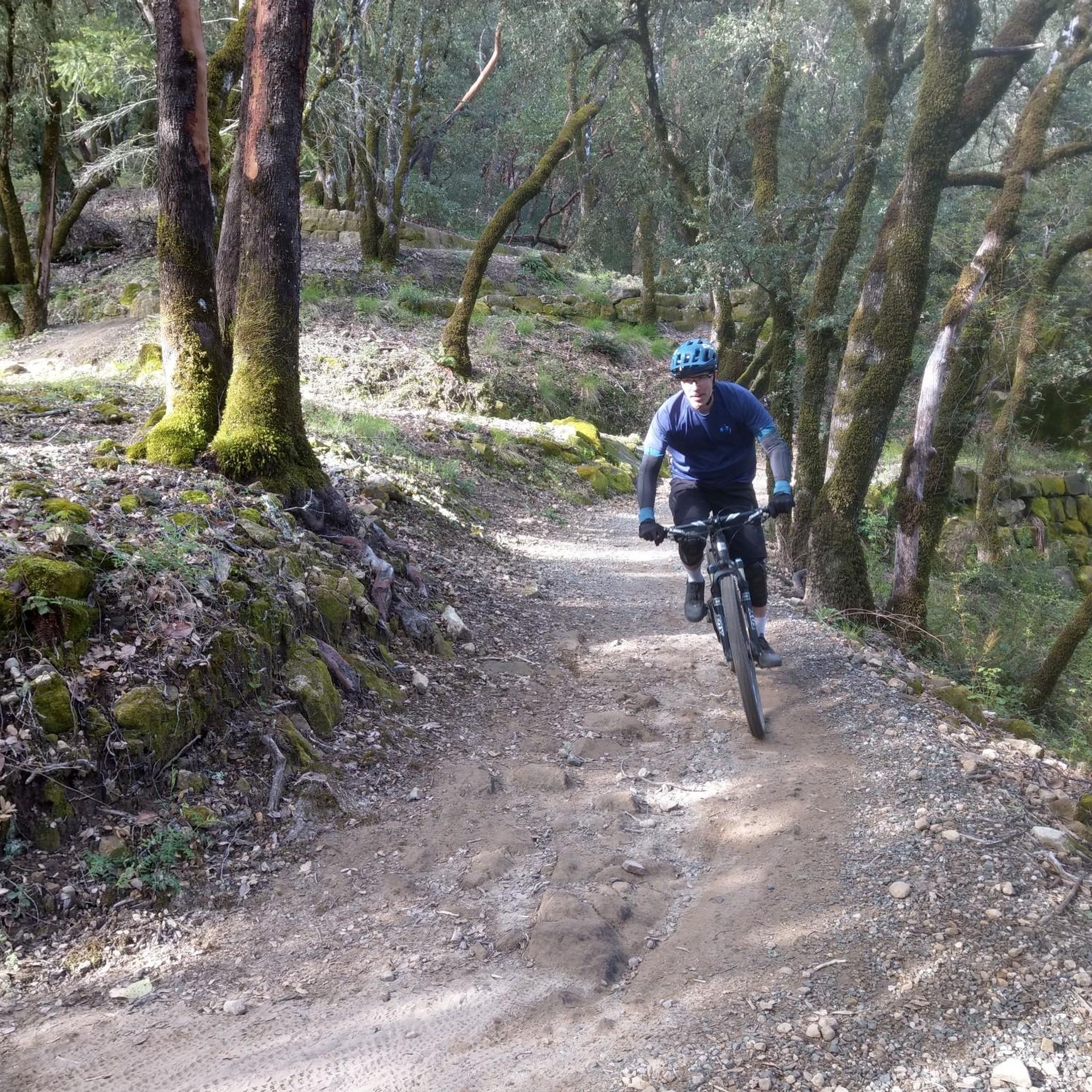
The Sanborn Trail takes you on a winding adventure through the rolling hills of the Santa Cruz mountains. The trail is well shaded and has switchbacks galore. Keep an eye out for redwoods near the top.
0
0

Indian Rock, a natural climbing spot, is located at the entrance of the Sanborn-Skyline County Park. The rock consists of Sandstone, but don't have the red colors that are so commonly found in the American southwest.
0
0
Castle Rock State Park presents this pretty 50-foot waterfalls but also had sandstone formations, a magnificent forest and great vistas.
0
0

A park with a shaded shelter, bathrooms and water fountains. A great spot to fill up water bottles before setting out one or a few of many trails in the area. Park quiet hours are from 10 p.m. to 8 a.m
1
0

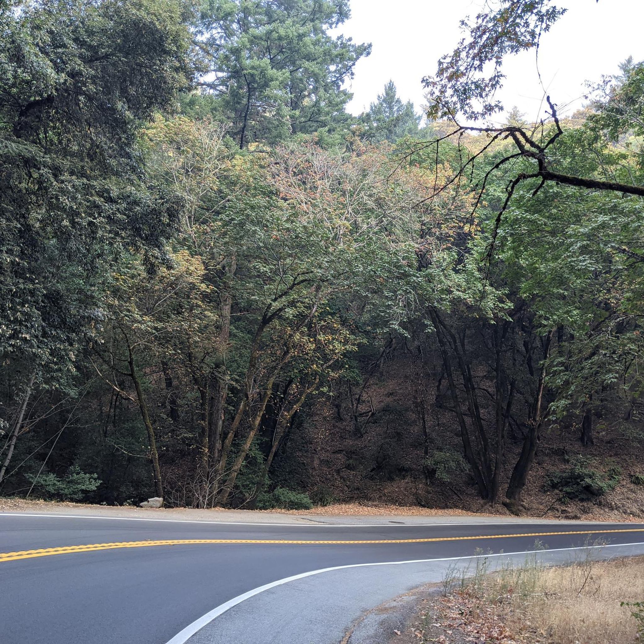
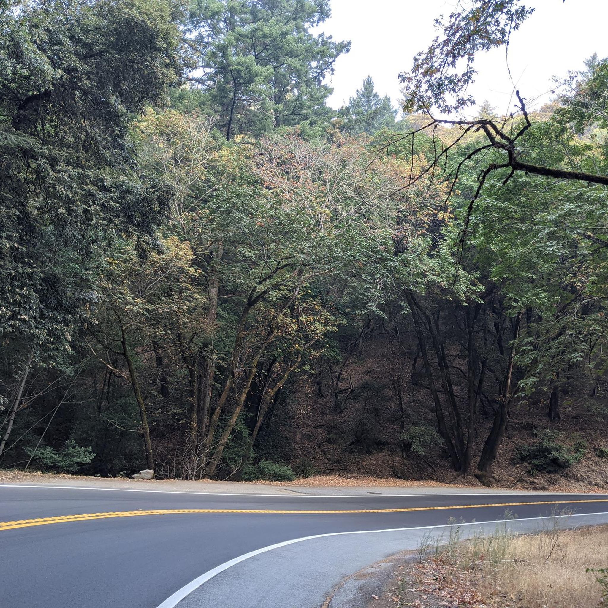
On your way South from CA-9 riding Skyline Boulevard, there are a few spots where you can get a great view of the mountains that separate you from the Pacific ocean. Depending on the time of day and the time of year, you could see a blue range of mountains, or the mountains covered with a thick blanket of fog.
0
0
Indian Rock, natural climbing spot is located at the entrance of the Sanborn-Skyline County Park. The rock consists of Sandstone but don't have the red colors that are so commonly found in the American southwest.
1
0
Castle Rock State Park presents this pretty 50-foot waterfall but also had sandstone formations, a magnificent forest and great vistas.
1
0
Frequently Asked Questions
Are dogs allowed in Sanborn County Park?
Regulations regarding dogs can vary. While many county parks allow dogs on-leash in designated areas, it's essential to check the current rules for specific trails within Sanborn County Park upon arrival. Look for signs at trailheads for the most up-to-date information.
Are there any family-friendly or easy hikes in the park?
Yes, Sanborn County Park has several options for easier walks. The park contains about five easy-rated trails. For a gentle hike that offers good shade, consider the Lake Ranch Trail. Another great option for exploring the park's natural features without a major climb is the Indian Rock - Castle Rock State Park route, which takes you to a notable sandstone formation.
What are the parking options at Sanborn County Park?
The main entrance to Sanborn County Park at 16055 Sanborn Rd, Saratoga, has a large day-use parking area. There may be a vehicle entry fee. Additional trailheads, such as the one for the John Nicholas Trail, have separate parking areas. It's a good idea to arrive early, especially on weekends, as lots can fill up.
Is there a waterfall in Sanborn County Park?
Yes, there is a waterfall located within the park. It's a highlight for many hikers, especially after recent rainfall. To see it, you can take a route like the Castle Rock Falls – Loughry Woods Trail loop from Los Gatos, which incorporates the falls into a longer, more challenging hike.
How many hiking trails are in Sanborn County Park?
There are over 20 distinct hiking trails available to explore within Sanborn County Park. The network offers a wide range of experiences, from short nature walks to strenuous all-day hikes with significant elevation gain.
What is the terrain like for hiking in the park?
The terrain is typical of the Santa Cruz Mountains. Expect a mix of wide, graded paths and narrower, steeper singletrack trails. Many routes pass through lush, mixed forests with beautiful second-growth redwood groves, often following shaded creek-side canyons. Higher elevations open up to more exposed ridgelines.
Can I go camping in Sanborn County Park?
Yes, camping is available. The park offers both RV campsites and walk-in tent sites. The walk-in campground is particularly scenic, nestled among the redwood trees. Reservations are recommended, especially for weekends and during the summer.
Are there any circular or loop hikes available?
The park has several excellent loop trails that allow you to experience different scenery without backtracking. The San Andreas to Sanborn Trail loop is a popular moderate option that combines two of the park's signature trails into a varied circuit of about 3.7 miles (6 km).
How difficult are the hikes in Sanborn County Park?
The park caters to all fitness levels. Out of more than 20 trails, there are roughly 5 easy, 7 moderate, and 10 difficult hikes. Easy trails are generally shorter with minimal climbing, while difficult routes involve steep ascents and significant elevation gain, often leading to Skyline Ridge.
What do other hikers think of the trails in Sanborn County Park?
The trails are highly regarded by the komoot community. Hikers often praise the beautiful redwood groves, the well-maintained paths, and the variety of trail options. The peaceful atmosphere of the shaded canyons is another frequently mentioned highlight.
Is there reliable cell service in the park?
Cell service is generally unreliable throughout Sanborn County Park. Due to the canyons and dense tree cover, you should not expect consistent reception. It is highly recommended to download maps for offline use before you arrive.
Are there picnic areas in the park?
Yes, Sanborn County Park is well-equipped for picnics. There is a large, grassy day-use area with numerous first-come, first-served picnic tables available year-round. For larger groups, several reservable group picnic areas are also available.
Most popular routes in Sanborn County Park
Most popular attractions in Sanborn County Park

Get inspired with the komoot mobile app


Explore more
Browse the best Hikes in other regions.
