The best running trails in Calero County Park
4.5
(4)
345
runners
13
runs
Jogging in Calero County Park offers access to 4,455 to 4,471 acres within the eastern foothills of the Santa Cruz Mountains. The park features an extensive trail system spanning over 18 miles, traversing rolling grassland hills and weaving through oak woodlands. Calero Reservoir is a prominent feature, providing scenic views from various points within the park. The terrain includes both challenging routes with significant elevation gains and gentler sections suitable for varied fitness levels.
Best jogging routes in Calero County…
Last updated: June 23, 2026
5.0
(1)
40
runners
15.4km
01:54
260m
260m
Hard run. Very good fitness required. Mostly paved surfaces. Suitable for all skill levels.
5.0
(1)
37
runners
13.8km
01:44
250m
250m
Moderate run. Good fitness required. Mostly paved surfaces. Suitable for all skill levels.

Sign up for free
4
runners
7.10km
00:57
190m
190m
Moderate run. Good fitness required. Mostly paved surfaces. Suitable for all skill levels.
3
runners
10.5km
01:25
320m
320m
Hard run. Very good fitness required. Mostly paved surfaces. Suitable for all skill levels.
2
runners
8.13km
00:59
170m
170m
Moderate run. Good fitness required. Mostly paved surfaces. Suitable for all skill levels.
Get access to more routes and recommendations from other explorers.
Sign up for free
Already have an account?
Our route recommendations are based on thousands of hikes, rides, and runs completed by other people on komoot.
Start today with a free account
Your next adventure awaits.
Login or Signup

Other adventures in Calero County Park

Tips from the Community

Bald Peak provides great views of Santa Clara Valley, the Diablo Range, and the Santa Cruz Mountains. Hikers and mountain bikers can access the peak via trails like Hidden Springs and Coyote Peak, which offer moderate to steep climbs. Early mornings or late afternoons are best for enjoying cooler temperatures in hot summer months. The trails are well-maintained and scenic.
0
0

Los Cerritos Pond is just off the side of the Oak Cove Trail and is a great spot for a pit-stop during your ride. You can get right up next to the banks of the water, or you can hang out under the shade trees closer to the main trail.
0
0

This short spur off the Lisa Killough Trail leads ends at a wonderful lookout with some picnic tables. It's a great spot to stop and enjoy the view!
1
0
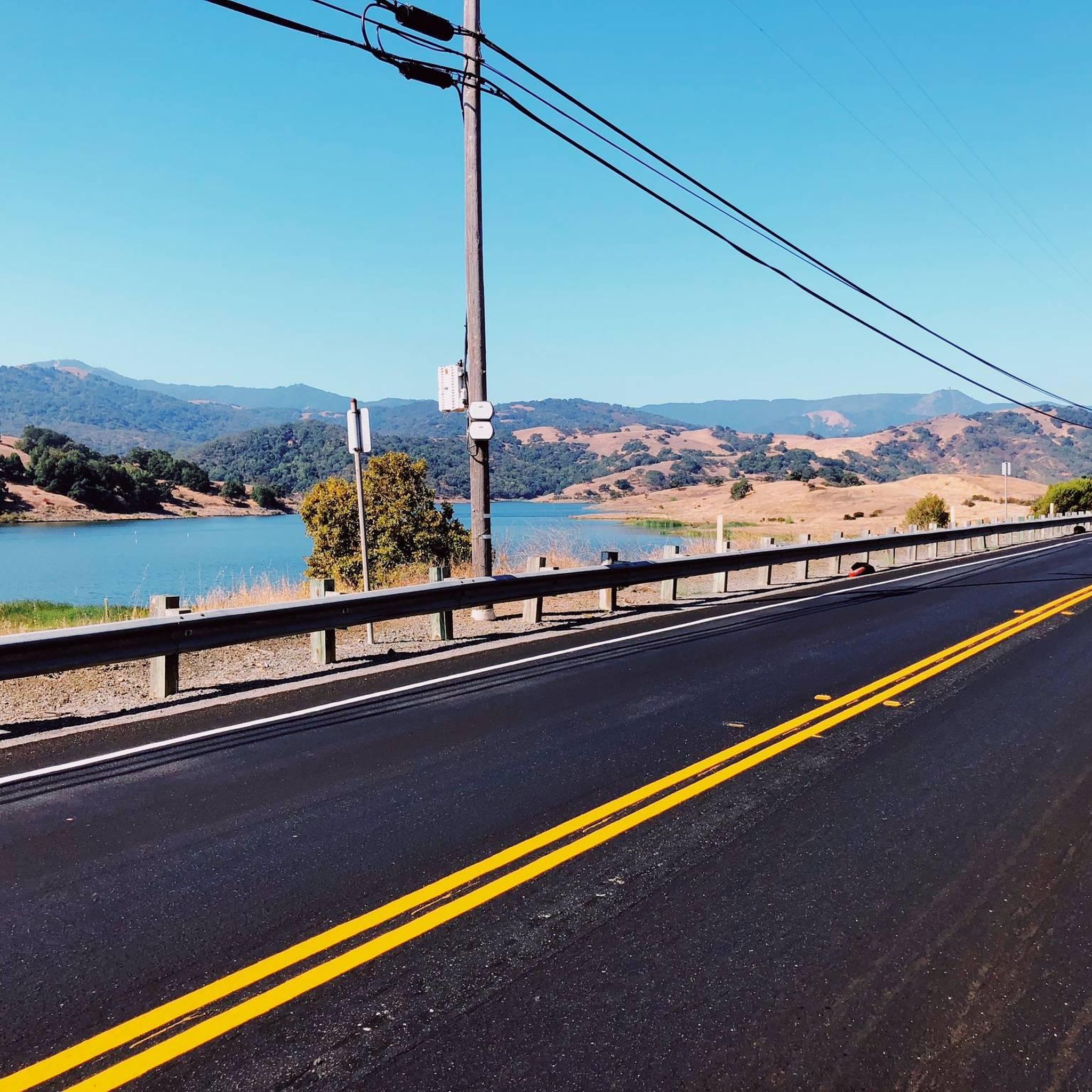
Calero County Park is a huge park covering over 4,400 acres and featuring a huge lake. Calero Reservoir is definitely the pinnacle of the park, but there are a number of trails and paths that offer different views and pass through different natural ecosystems. Being such a big park, there are a bunch of different trailheads and park entrances that you can utilize.
0
0

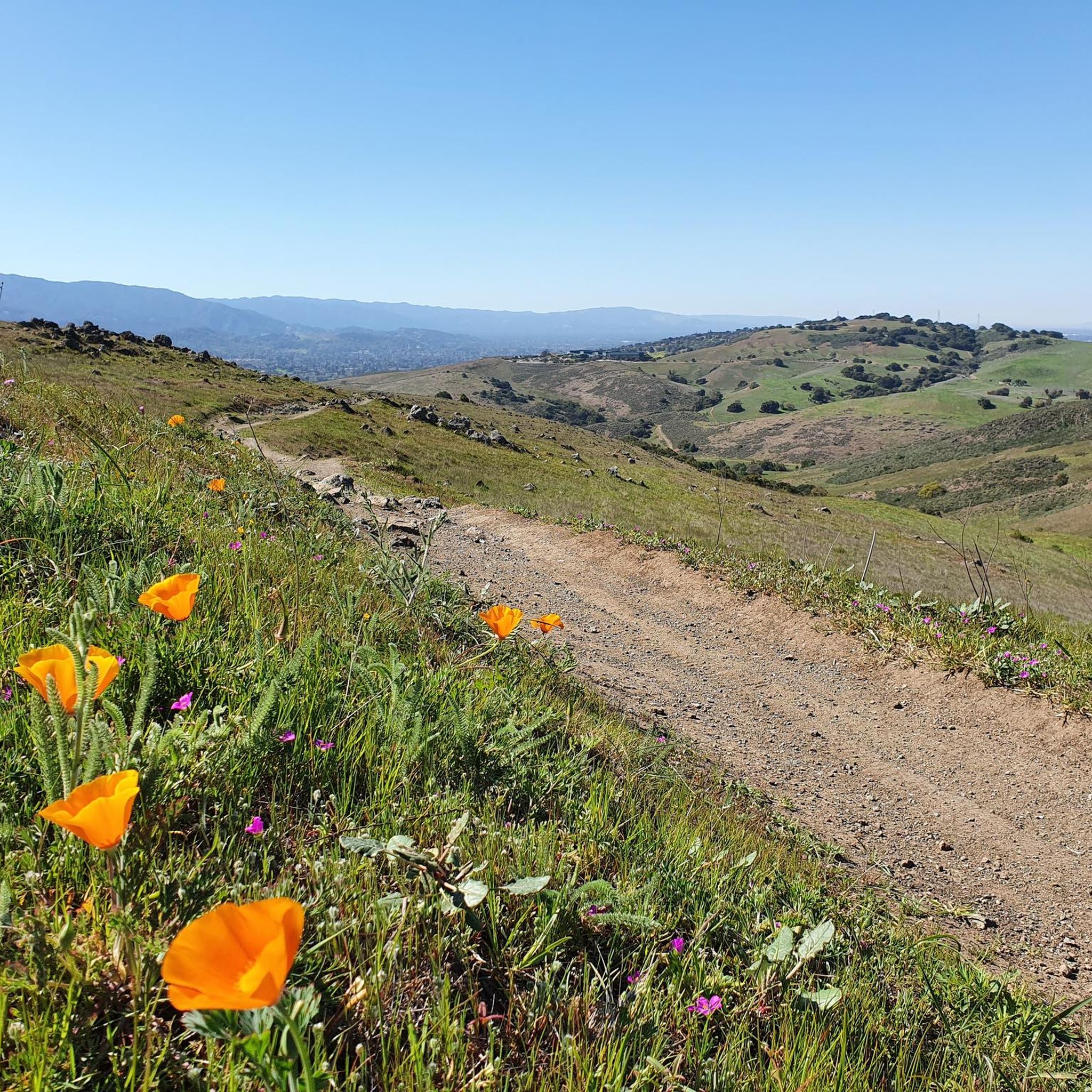
From the high knoll you get a 360 degree view of all the South Bay. Wildflowers are abundant in the spring.
0
0

True to its name, Los Cerritos ("little hills") Pond is ringed by hills. You'll find a great network of looping walking trails here, and from March through May the wildflowers here are spectacular. Plan to be without shade for long stretches of your run.
0
0

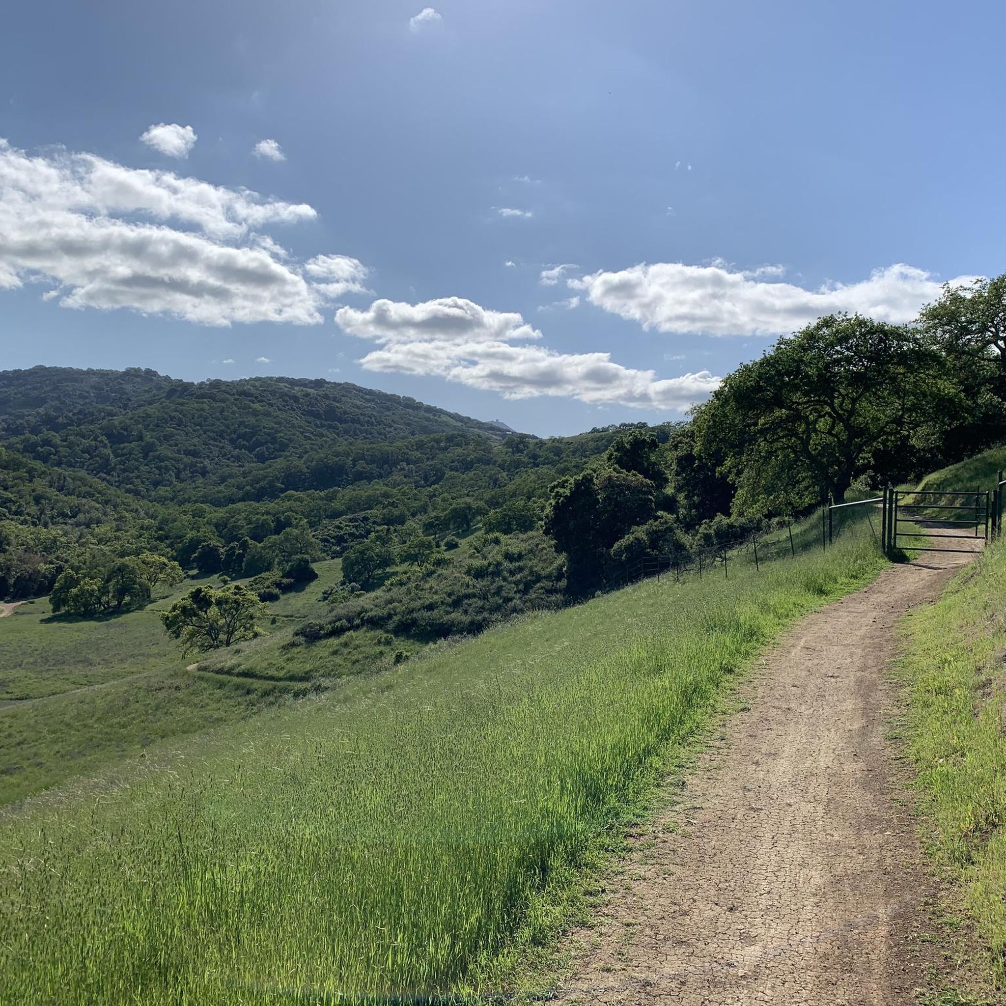
Longwall Canyon Trail is a nicely marked trail that navigates through trees, fields, and has stunning views of the South Bay at points. The trail has a nice mix of terrain and scenery to keep things interesting.
0
0
True to its name, Los Cerritos ("little hills") Pond is ringed by hills. You'll find a great network of looping walking trails here, and from March through May the wildflowers here are spectacular. Plan to be without shade for long stretches of your walk.
0
0
Frequently Asked Questions
How many running routes are available in Calero County Park?
Calero County Park offers a diverse network of over 10 running routes. These trails span more than 18 miles, providing a variety of options for different fitness levels and preferences.
What are the difficulty levels of running trails in Calero County Park?
The park features a mix of trail difficulties. You'll find 5 moderate routes and 8 more challenging trails with significant elevation gains, catering to both intermediate and experienced runners. There are no routes classified as easy, but some moderate trails are suitable for those looking for a less strenuous run.
Are there any family-friendly running trails in Calero County Park?
While there are no routes specifically labeled 'easy', the park's varied terrain includes gentler hills and flatter sections that can be suitable for families or those seeking a more relaxed pace. For instance, the Mayfair Ranch and Longwall Canyon Trail Loop is a moderate 4.4-mile path that navigates through rolling hills and offers scenic views, making it a good option for a family outing.
Can I bring my dog on the running trails in Calero County Park?
Yes, many trails in Calero County Park are dog-friendly, allowing leashed pets to join you on your run. It's a great way to enjoy the park's natural beauty with your canine companion.
Which running trails offer the best scenic views in Calero County Park?
For breathtaking vistas, consider routes that traverse the park's higher elevations. From various points, you can enjoy panoramic views of southern Santa Clara County, the Santa Cruz Mountain Range, the Santa Clara Valley, the Diablo Range, and Mount Umunhum. The Bald Peaks Loop is known for its varied terrain and panoramic views.
What natural features or landmarks can I see while running in Calero County Park?
Calero County Park is rich in natural beauty. You'll encounter rolling grassland hills, picturesque oak woodlands, and the prominent Calero Reservoir. During spring, typically March through May, the 'back country' areas burst with vibrant wildflowers. You might also spot ponds like Los Cerritos Pond along trails such as the Serpentine Loop and Los Cerritos Trail.
Are there any longer running routes for a more challenging workout?
For a more extended and challenging run, the park offers several options. The Lisa Killough and Cottle Trail Loop is a difficult 9.6-mile (15.4 km) trail with significant elevation changes, providing a robust workout through diverse grasslands and woodlands.
What is the best time of year to go running in Calero County Park?
Spring, particularly March, April, and May, is an excellent time to visit due to the vibrant display of wildflowers in the 'back country' areas. The park offers a mix of sun-exposed and shaded sections, making it enjoyable across different seasons, though summer can be warm. Always check local weather conditions before heading out.
What do other runners enjoy most about the trails in Calero County Park?
The running routes in Calero County Park are highly rated by the komoot community, with an average score of 4.5 stars from 4 reviews. Runners often praise the diverse terrain, from rolling grasslands to oak woodlands, and the scenic views of Calero Reservoir. The less crowded nature of the park also contributes to a peaceful outdoor experience.
Are there any circular running routes in Calero County Park?
Yes, many of the park's running routes are designed as loops, offering a continuous journey without retracing your steps. Examples include the Oak Cove and Los Cerritos Trail Loop, which is a moderate 5-mile (8.1 km) option, and the longer Bald Peaks Loop.
What kind of wildlife might I encounter while running in Calero County Park?
Calero County Park is a haven for birdwatchers, so you might spot various bird species, including red-tailed hawks, Golden Eagles, and grebes. While running, keep an eye out for other local wildlife that inhabits the diverse grassland and woodland ecosystems.
Most popular routes in Calero County Park
Most popular attractions in Calero County Park

Get inspired with the komoot mobile app


Explore more
Browse the best Running Trails & Routes in other regions.
