The best MTB trails in Coyote Valley Open Space Preserve
4.7
(108)
540
riders
17
rides
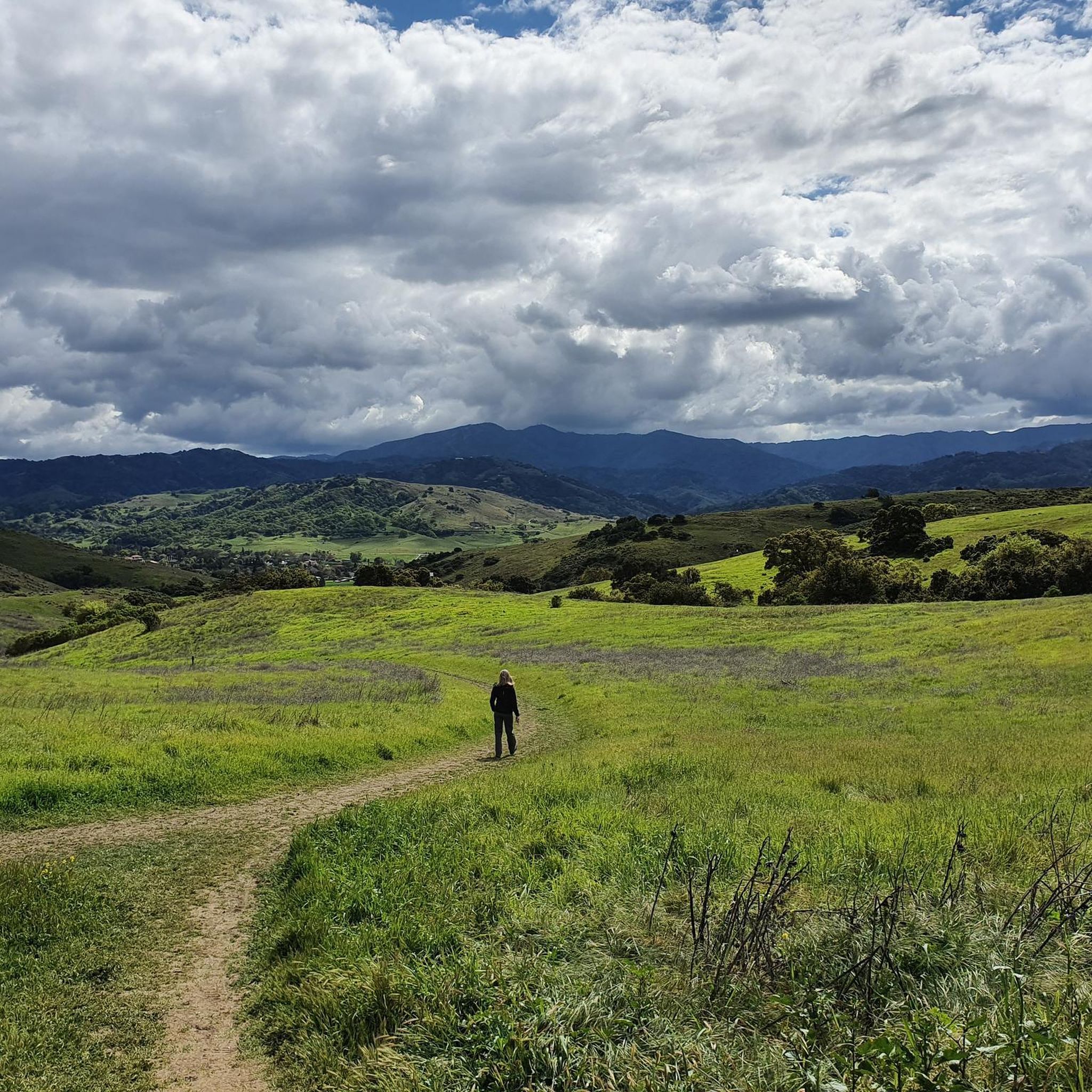
Mountain biking in Coyote Valley Open Space Preserve offers diverse terrain across rolling hills, expansive grasslands, and tranquil oak woodlands. The preserve features engaging trails with elevation changes, providing panoramic views of Mount Hamilton, Mount Umunhum, and the South Bay. Distinctive serpentine rock outcroppings and seasonal waterways add to the varied landscape, making it an excellent destination for outdoor activities.
Best mountain bike trails in Coyote Valley Open Space Preserve
- The most popular mountain bike trail is Arrowhead Loop Trail…
Last updated: August 17, 2026
9
riders
6.38km
00:41
170m
170m
The Arrowhead Loop Trail offers a delightful mountain biking experience through the Coyote Valley Open Space Preserve, characterized by smooth single-track winding past rare serpentine rock outcroppings and through open…
5.0
(1)
15
riders
17.0km
01:32
200m
200m
Moderate mountain bike ride. Great for any fitness level. Advanced riding skills necessary.

Sign up for free
4.0
(3)
22
riders
12.9km
01:29
440m
430m
The Bald Peaks and Longwall Canyon Loop offers a dynamic mountain biking experience through Rancho Cañada del Oro Open Space Preserve, blending shaded oak forests with open grasslands and panoramic…
4.9
(44)
140
riders
Hard mountain bike ride. Very good fitness required. Suitable for all skill levels.
12
riders
75.6km
06:01
1,220m
1,220m
Hard mountain bike ride. Very good fitness required. Suitable for all skill levels.
Get access to more routes and recommendations from other explorers.
Sign up for free
Already have an account?
Our route recommendations are based on thousands of hikes, rides, and runs completed by other people on komoot.
Start today with a free account
Your next adventure awaits.
Login or Signup
Tips from the Community


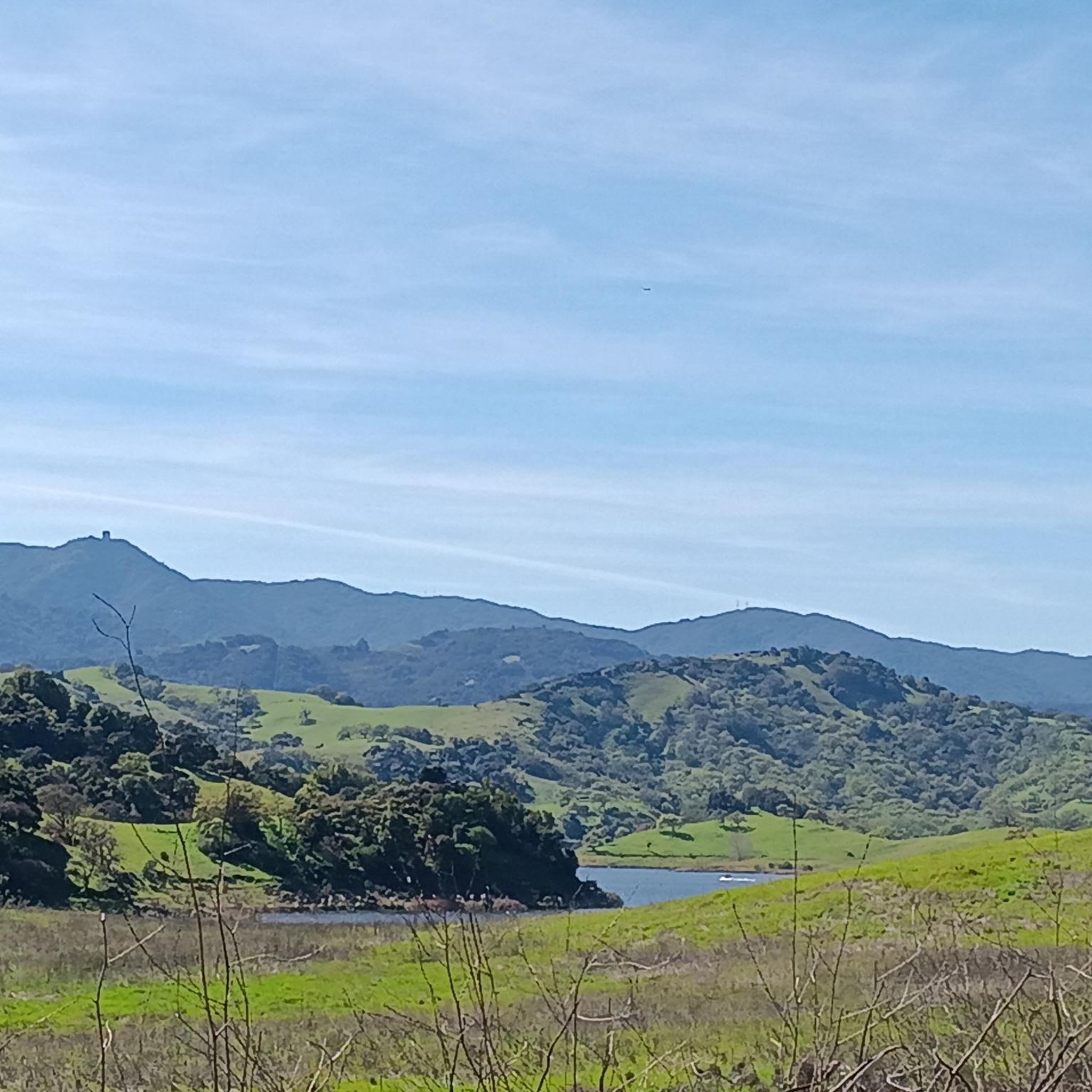
Calero County Park is 4,471 acres with a diverse topography. The main feature is Calero Reservoir, which doesn't allow swimming, but you can wade. Calero Reservoir is interestingly the only body of water in Santa Clara County Parks that allows for boating year round.
0
0

The Oak Cove Trail in Calero County Park is a 5.6-mile out-and-back trail open for mountain biking, hiking, and trail running. The trail offers a mix of flat sections and gentle hills, making it accessible for beginners and families. Riders can enjoy scenic views of the reservoir and surrounding landscapes. The trail connects with the Lisa Killough Trail, allowing for extended rides within the park. While the path is mostly flat, there are a few small hills that may require less experienced riders or kids to dismount. The first hill at the beginning (and the last hill on the return) is probably the most challenging.
0
0
Calero County Park 4,400 acres park that features Calero Reservoir, a huge lake on the northern side of the park. This is the main entrance to the park with a big parking area, a visitor center, restrooms, picnic tables, and access to the Oak Cove Trail.
0
0

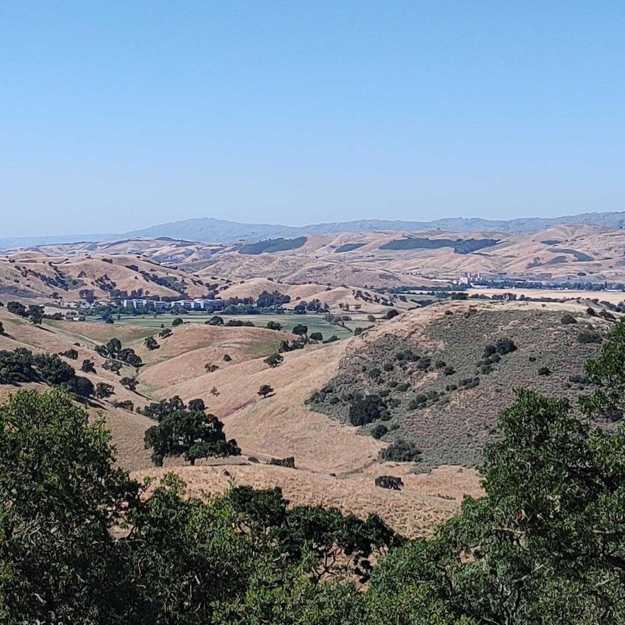
Bald Peak provides great views of Santa Clara Valley, the Diablo Range, and the Santa Cruz Mountains. Hikers and mountain bikers can access the peak via trails like Hidden Springs and Coyote Peak, which offer moderate to steep climbs. Early mornings or late afternoons are best for enjoying cooler temperatures in hot summer months. The trails are well-maintained and scenic.
0
0

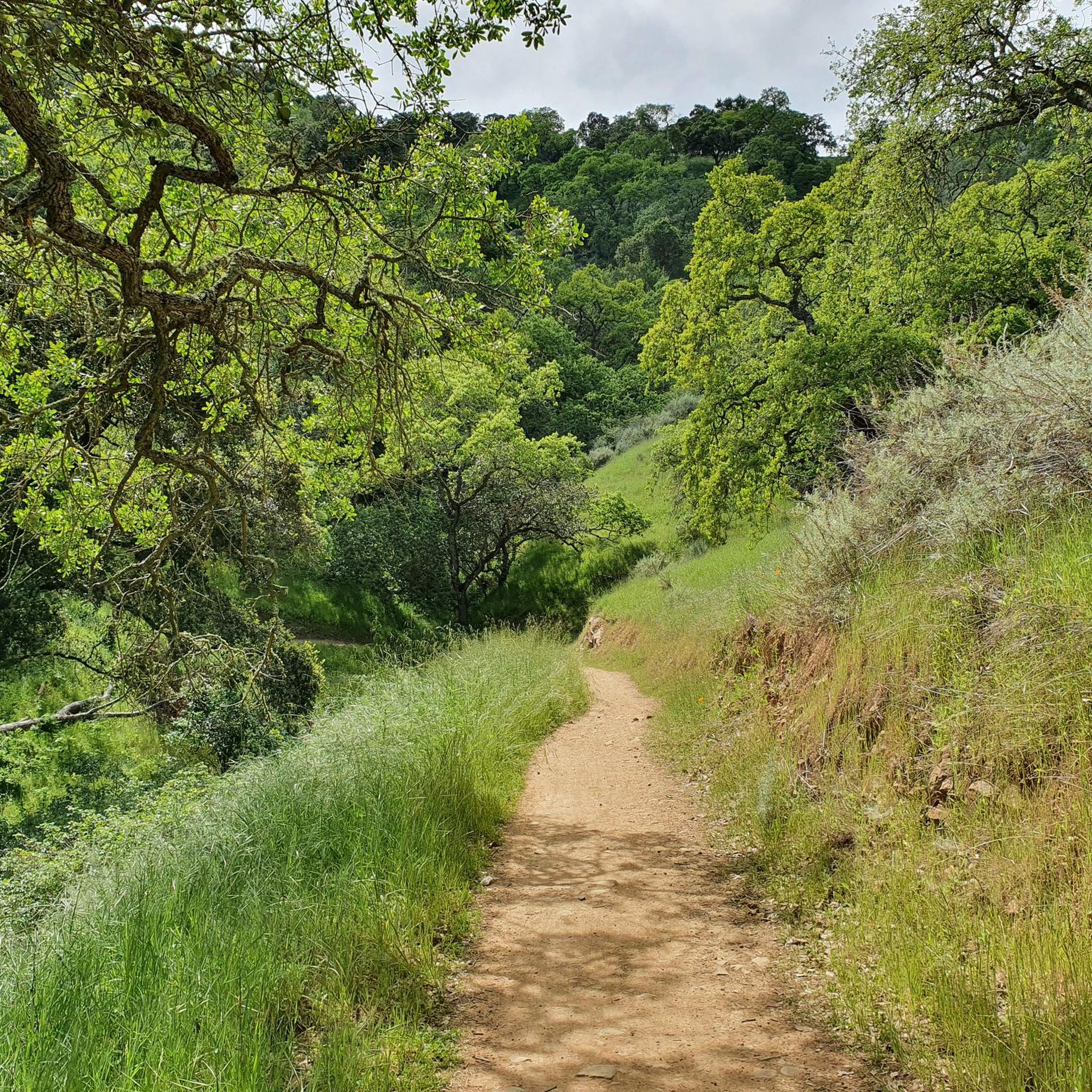
Arrowhead is really the only trail in Coyote Valley but it's rideable in both directions. There are enough switchbacks, and viewpoints to keep things interesting over multiple visits.
1
0
Frequently Asked Questions
How many mountain bike trails are available in Coyote Valley Open Space Preserve?
There are over 15 mountain bike trails in Coyote Valley Open Space Preserve, catering to various skill levels. You'll find a good mix of easy, moderate, and challenging routes to explore.
What kind of terrain can I expect on mountain bike trails in Coyote Valley Open Space Preserve?
The preserve offers diverse terrain, including rolling hills, expansive open grasslands, and tranquil oak woodlands. You'll encounter manicured gravel surfaces, switchbacks, and some elevation changes, providing a varied and engaging ride.
Are there any easy mountain bike trails suitable for beginners?
Yes, there are several easy trails perfect for beginners. A popular choice is the Arrowhead Loop Trail, which is about 4 miles long with a manicured gravel surface and gentle elevation changes. Another easy option is the Longwall Canyon Trail loop from Rancho Cañada del Oro Open Space Preserve Entrance, which is around 4.3 miles.
Are there any challenging mountain bike routes for experienced riders?
For more experienced riders seeking a challenge, routes like the Lisa Killough Trail – Lisa Killough Trail Viewpoint loop from Rancho Cañada del Oro Open Space Preserve Entrance offer significant distance and elevation gain. This route spans over 22 miles with nearly 3,200 feet of climbing.
What are the best times of year to go mountain biking in Coyote Valley Open Space Preserve?
Spring is particularly beautiful, as the meadows and hillsides come alive with wildflowers, including bright orange poppies. Winter months bring seasonal creeks to life. The preserve is generally enjoyable year-round, but checking current trail conditions is always recommended.
Are there any loop trails for mountain biking in the preserve?
Yes, many trails are designed as loops. The Bald Peaks and Longwall Canyon Loop is a moderate 8-mile route that offers varied terrain and scenic views. The Arrowhead Loop Trail is also a popular loop option.
What kind of views and natural features can I see along the trails?
You'll be treated to stunning panoramic views of Mount Hamilton, Mount Umunhum, and the entire Coyote Valley. Higher points offer 360-degree vistas of the South Bay. The preserve also features unique serpentine rock outcroppings, seasonal waterways, and vibrant flora, especially during spring wildflower season.
Is Coyote Valley Open Space Preserve family-friendly for mountain biking?
Yes, the preserve is family-friendly, especially on easier, less technical trails like the Arrowhead Loop Trail. Pedal-assist e-bikes are also permitted, which can enhance accessibility for families or those looking for a less strenuous ride.
Is there parking available at Coyote Valley Open Space Preserve?
Yes, the preserve offers a convenient paved parking lot. Additionally, accessible restrooms and picnic tables are available, ensuring a comfortable visit.
What do other mountain bikers enjoy most about the trails here?
The trails in Coyote Valley Open Space Preserve are highly rated by the komoot community, with an average score of 4.7 stars from over 150 reviews. Riders often praise the diverse terrain, the stunning panoramic views, and the well-maintained trails that offer options for various skill levels.
Are dogs allowed on the mountain bike trails?
The provided information does not specify the exact dog policy for mountain bike trails within Coyote Valley Open Space Preserve. It's always best to check the official preserve rules or website before bringing your dog.
Are there any historical points of interest along the trails?
Yes, the Arrowhead Trail is recognized as an official interpretive site of the historic Juan Bautista de Anza Trail, adding a layer of historical context to your ride.
Where can I find more information about the Coyote Valley Open Space Preserve?
For additional details about the preserve, including current conditions and specific regulations, you can visit resources like visitmorganhill.org.
Most popular routes in Coyote Valley Open Space Preserve

Get inspired with the komoot mobile app


Explore more
Browse the best MTB trails in other regions.
