Máyyan 'Ooyákma – Coyote Ridge Open Space Preserve
Máyyan 'Ooyákma – Coyote Ridge Open Space Preserve
The best MTB trails in Máyyan 'Ooyákma – Coyote Ridge Open Space Preserve
4.9
(109)
585
riders
23
rides
Mountain bike trails in Máyyan 'Ooyákma – Coyote Ridge Open Space Preserve traverse a landscape characterized by rare serpentine grasslands and ascending ridgelines. The preserve offers over five miles of trails, with a main loop approximately 6 miles long. Riders encounter varied terrain, including low grasslands leading to higher elevations, providing expansive views of Coyote Valley and the Santa Clara Valley. The trails feature climbs up to 981 feet, reaching a maximum elevation of 1,322 feet.
Best mountain bike trails…
Last updated: May 28, 2026
9
riders
6.38km
00:41
170m
170m
Easy mountain bike ride. Great for any fitness level. Suitable for all skill levels.
3
riders
30.0km
02:02
540m
540m
Moderate mountain bike ride. Good fitness required. Suitable for all skill levels.

Sign up for free
7.04km
00:53
300m
300m
Easy mountain bike ride. Great for any fitness level. Suitable for all skill levels.
12
riders
75.6km
06:01
1,220m
1,220m
Hard mountain bike ride. Very good fitness required. Suitable for all skill levels.
5.0
(1)
15
riders
17.0km
01:32
200m
200m
Moderate mountain bike ride. Great for any fitness level. Advanced riding skills necessary.
Get access to more routes and recommendations from other explorers.
Sign up for free
Already have an account?
Our route recommendations are based on thousands of hikes, rides, and runs completed by other people on komoot.
Start today with a free account
Your next adventure awaits.
Login or Signup
Popular around Máyyan 'Ooyákma – Coyote Ridge Open Space Preserve

Bay Area Ridge Trail — Hiking the backbone of The Bay
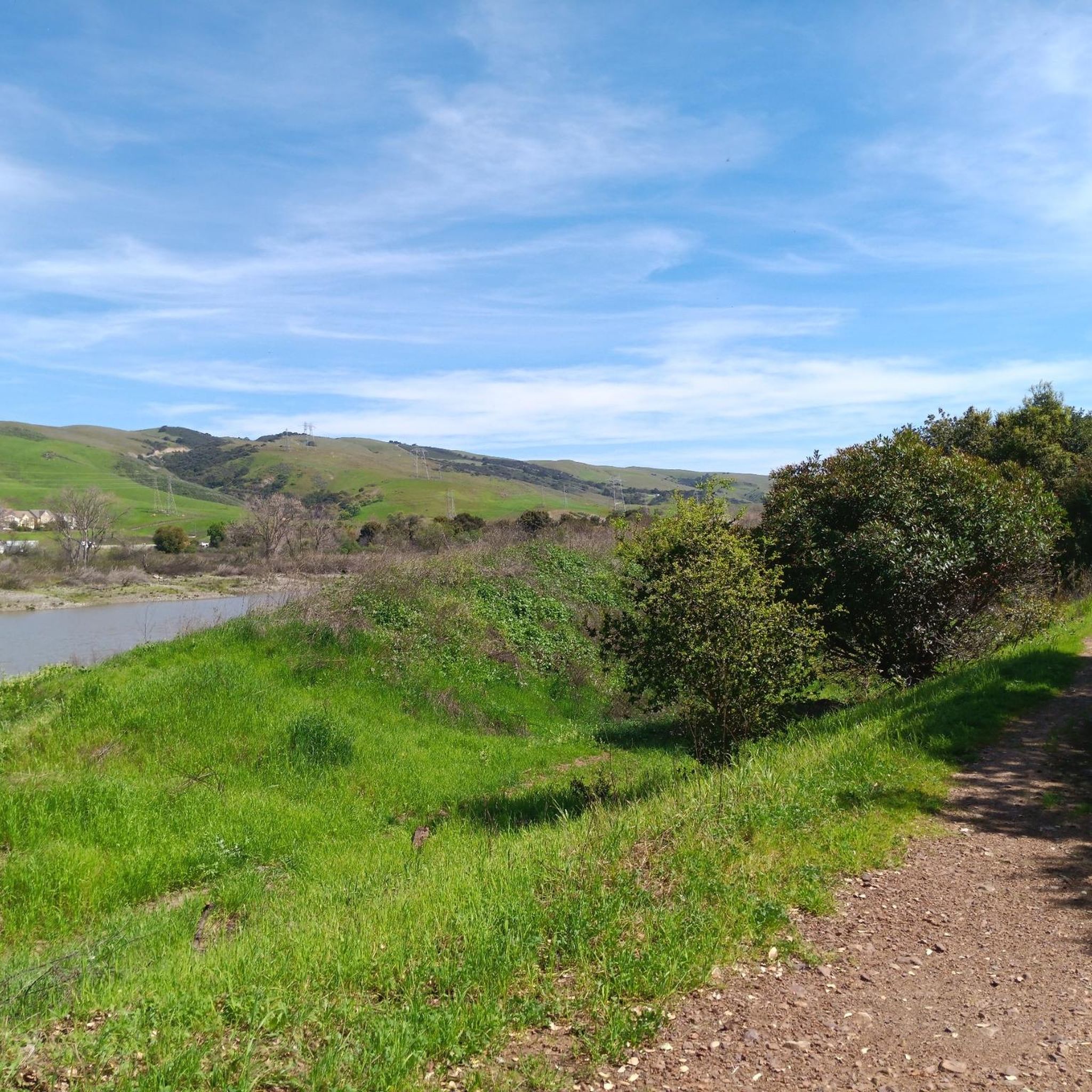
Hiking in Máyyan 'Ooyákma – Coyote Ridge Open Space Preserve
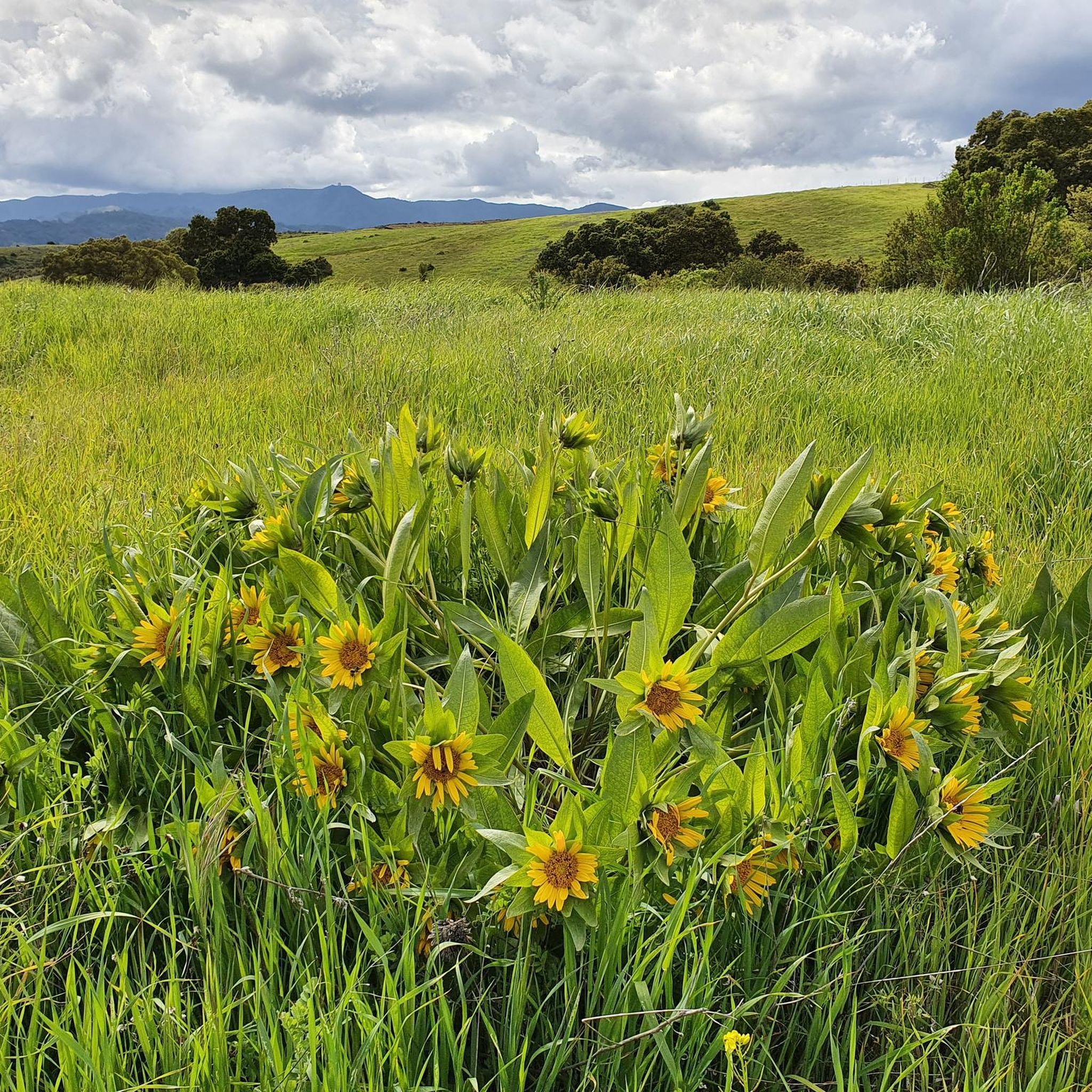
Running Trails in Máyyan 'Ooyákma – Coyote Ridge Open Space Preserve
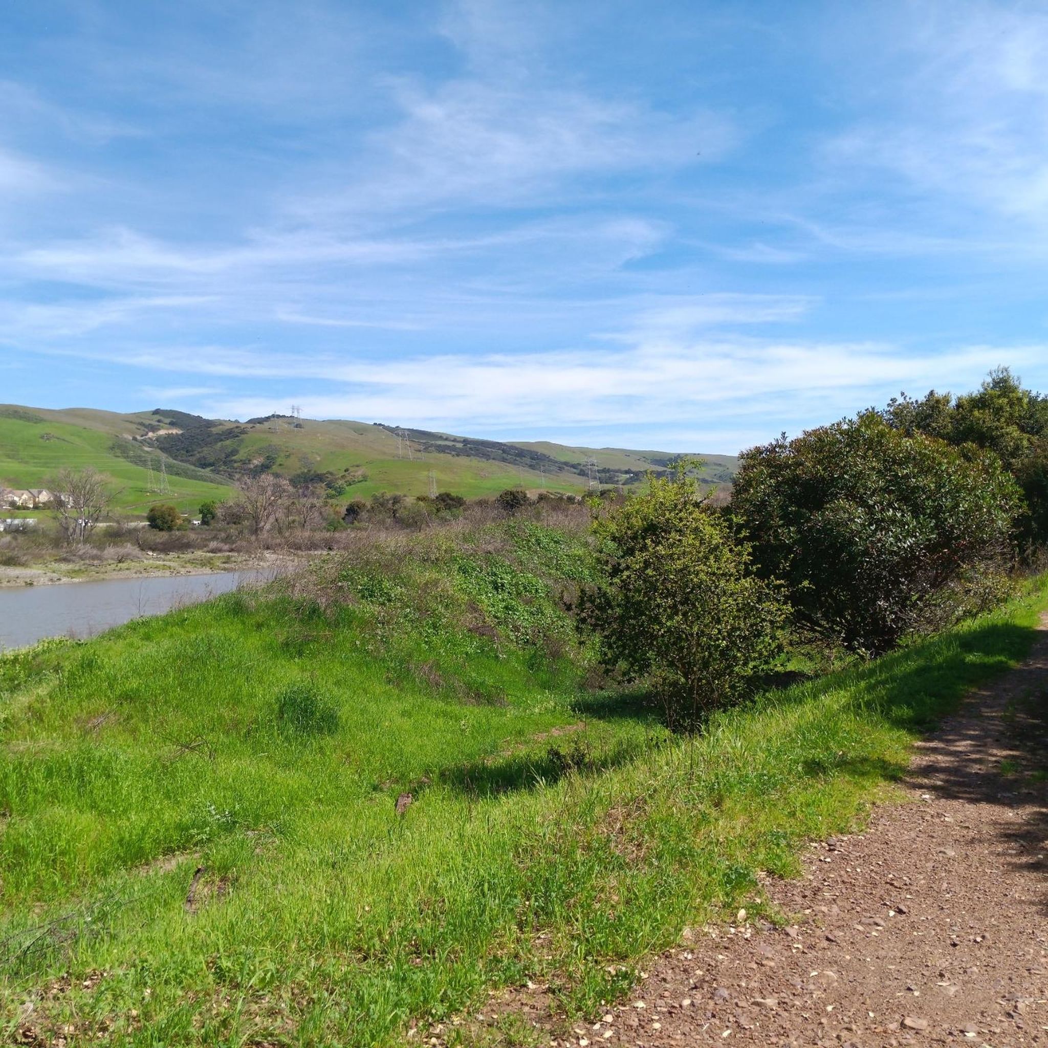
Cycling in Máyyan 'Ooyákma – Coyote Ridge Open Space Preserve
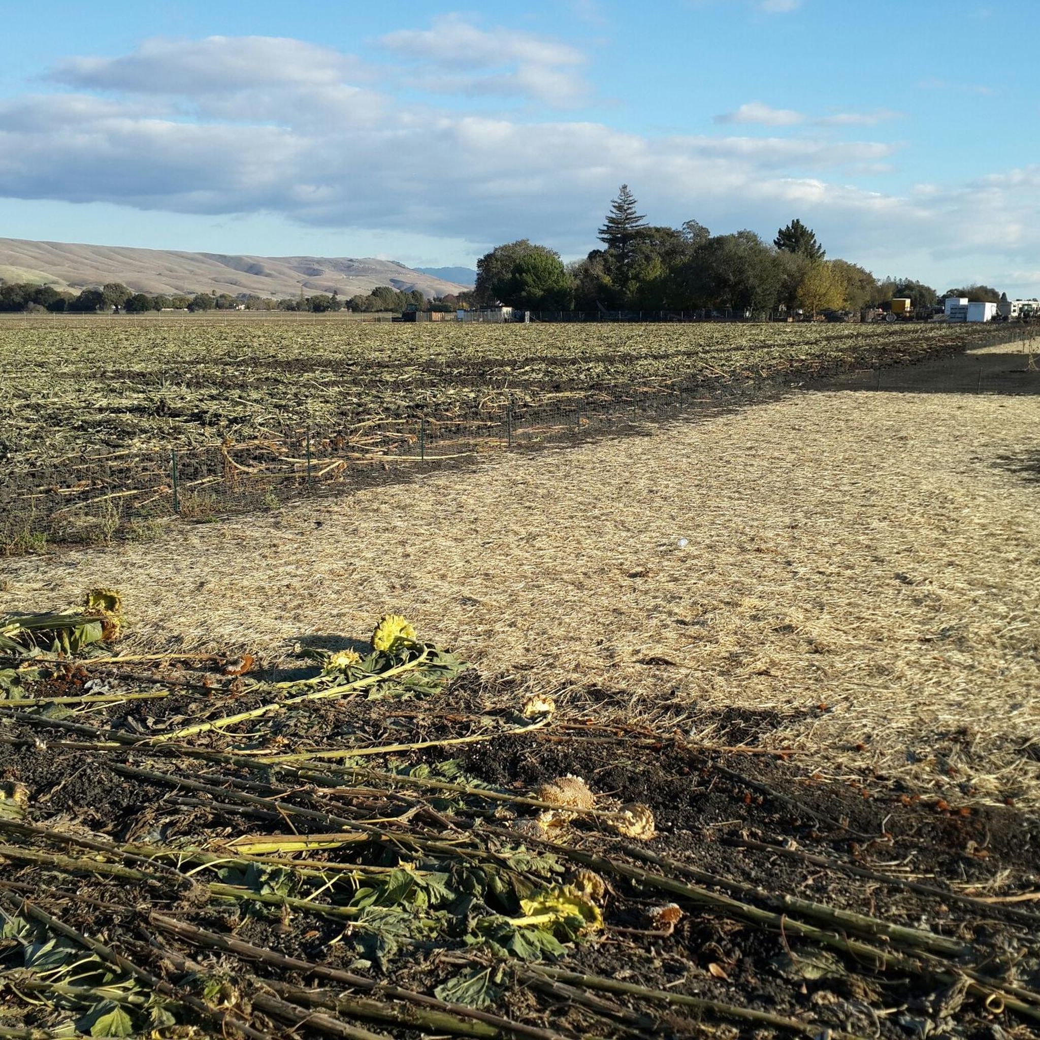
Road Cycling Routes in Máyyan 'Ooyákma – Coyote Ridge Open Space Preserve
Gravel biking in Máyyan 'Ooyákma – Coyote Ridge Open Space Preserve
Other adventures in Máyyan 'Ooyákma – Coyote Ridge Open Space Preserve

Tips from the Community


San Felipe Road is a scenic and smooth ride with rolling terrain, offering a moderate challenge. The route is less crowded, making it ideal for road cycling. It's best to avoid the afternoon heat, so an early start is recommended.
0
0
Metcalf Road is a steep but rewarding climb, popular among road cyclists. The route features challenging gradients, especially in the final stretch, and offers charming views of rolling hills to enjoy as you ascend.
0
0

Calero County Park is 4,471 acres with a diverse topography. The main feature is Calero Reservoir, which doesn't allow swimming, but you can wade. Calero Reservoir is interestingly the only body of water in Santa Clara County Parks that allows for boating year round.
0
0

The Oak Cove Trail in Calero County Park is a 5.6-mile out-and-back trail open for mountain biking, hiking, and trail running. The trail offers a mix of flat sections and gentle hills, making it accessible for beginners and families. Riders can enjoy scenic views of the reservoir and surrounding landscapes. The trail connects with the Lisa Killough Trail, allowing for extended rides within the park. While the path is mostly flat, there are a few small hills that may require less experienced riders or kids to dismount. The first hill at the beginning (and the last hill on the return) is probably the most challenging.
0
0
Calero County Park 4,400 acres park that features Calero Reservoir, a huge lake on the northern side of the park. This is the main entrance to the park with a big parking area, a visitor center, restrooms, picnic tables, and access to the Oak Cove Trail.
0
0
Frequently Asked Questions
How many mountain bike trails are there in Máyyan 'Ooyákma – Coyote Ridge Open Space Preserve?
There are over 20 mountain bike trails available in Máyyan 'Ooyákma – Coyote Ridge Open Space Preserve, offering a variety of experiences for different skill levels.
What is the terrain like for mountain biking in Máyyan 'Ooyákma – Coyote Ridge Open Space Preserve?
The terrain is characterized by rare serpentine grasslands and ascending ridgelines. Trails feature climbs up to 981 feet, reaching a maximum elevation of 1,322 feet, offering varied surfaces from low grasslands to higher elevations with expansive views.
Are there mountain bike trails suitable for beginners?
Yes, there are 5 easy mountain bike trails in the preserve. A good option for beginners is the Arrowhead Loop Trail, which is 4.0 miles long and offers a gentle ride through open grasslands.
Are there challenging mountain bike trails for experienced riders?
Yes, the preserve offers 3 difficult mountain bike trails. For a more demanding ride, consider the Bald Peaks Viewpoint – Lisa Killough Trail Viewpoint loop from Baird Ranch Reserve, which covers 75.5 miles with significant elevation changes.
What natural features or landmarks can I see while mountain biking?
You'll encounter unique serpentine grasslands, which are a biodiversity hotspot. The preserve is home to a herd of tule elk, and you might spot the Bay checkerspot butterfly. Sweeping panoramic views of Coyote Valley and the Santa Clara Valley are also prominent features, especially from accessible scenic overlooks like the Máyyan Wáayi (Coyote Valley) Overlook Trail.
Are there any viewpoints along the mountain bike trails?
Yes, the trails ascend through low grasslands to the ridgeline, offering expansive and sweeping views of Coyote Valley and the Santa Clara Valley. The Máyyan Wáayi (Coyote Valley) Overlook Trail is specifically designed for picturesque photo opportunities.
Can I spot wildlife while mountain biking?
The preserve is rich in wildlife. You have the opportunity to spot a herd of tule elk, the federally threatened Bay checkerspot butterfly, California tiger salamanders, and California red-legged frogs. The habitat also supports Western burrowing owls, golden eagles, and numerous other birds of prey.
Do I need a permit to mountain bike in the preserve?
To access trails within the Habitat Protection Area, which includes the Serpentine Spring Trail, Tule Elk Trail, and Bay Checkerspot Trail, visitors must obtain a free, annual 'Butterfly Pass'.
Are dogs allowed on the mountain bike trails?
No, pets are not permitted anywhere in the preserve due to the sensitivity of the habitat and to protect the diverse wildlife.
Is there parking available at Máyyan 'Ooyákma – Coyote Ridge Open Space Preserve?
Yes, the preserve offers facilities including parking for visitors.
Are there any circular mountain bike routes?
Yes, many routes in the preserve are designed as loops. For example, the main loop around Máyyan 'Ooyákma – Coyote Ridge is approximately 6 miles long. Other loop options include the Ohlone, Coyote Peak, and Hidden Springs Trail Loop.
What do other mountain bikers enjoy the most about mountain biking in Máyyan 'Ooyákma – Coyote Ridge Open Space Preserve?
The area is highly rated by the komoot community, with an average score of 4.5 stars. Reviewers often praise the diverse scenery, panoramic views from the ridgeline, and the unique experience of riding through serpentine grasslands.
Most popular routes in Máyyan 'Ooyákma – Coyote Ridge Open Space Preserve

Get inspired with the komoot mobile app


Explore more
Browse the best MTB trails in other regions.
