The best walks and hikes in Stevens Creek County Park
4.7
(337)
4,518
hikers
16
hikes
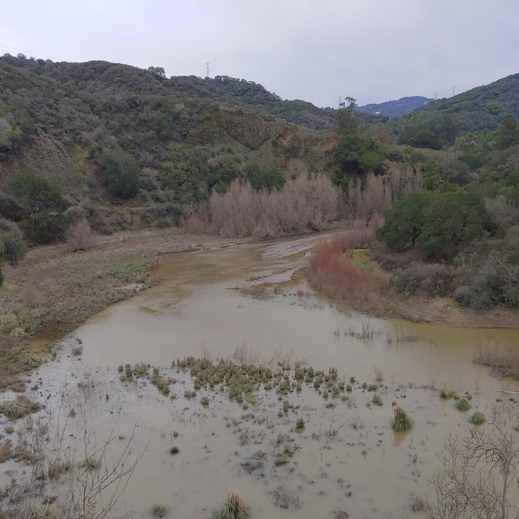
Hiking trails in Stevens Creek County Park traverse a diverse landscape featuring the 87-acre Stevens Creek Reservoir and the scenic Stevens Creek. The park is characterized by rolling oak and chaparral-covered hillsides, offering varied terrain for outdoor activities. Its extensive network includes both shaded creekside paths and trails with elevation changes, connecting to adjacent open space preserves.
Best hiking trails in Stevens Creek County Park
- The most popular hiking route is Tony Look Trail Loop — Stevens Creek County Park, a 5.9 miles (9.6 km) moderate trail that takes 2 hours 48 minutes to complete. This path offers a mostly shaded experience along Stevens Creek.
- Another top favourite among local hikers is Maisie's Peak via Vista and Lookout Trail — Stevens Creek County Park, an easy 2.5 miles (4.0 km) path. This route provides views of the eastern portion of Fremont Older.
- Local hikers also love the Stevens Creek Dam loop from Campbell, a 2.6 miles (4.2 km) trail leading through the area around the Stevens Creek Dam, often completed in about 1 hour 10 minutes.
- Hiking in Stevens Creek County Park is defined by its scenic creek, expansive reservoir, and rolling hills. The network offers options for different ability levels, from easy walks to more challenging ascents.
- The routes in Stevens Creek County Park are highly rated by the komoot community with an average score of 4.7 stars from over 280 reviews. More than 3,800 hikers have used komoot to explore Stevens Creek County Park's varied terrain.
Last updated: September 1, 2026
27
hikers
9.84km
02:44
180m
170m
Embark on a moderate hike along the Stevens Creek-Tony Look Trail, a 6.1-mile (9.8 km) route that offers varied terrain and scenic views. You will gain 580 feet (177 metres) over an estimated 2 hours and 43 minutes, making it a rewarding outdoor experience. The path transitions from paved sections to dirt roads and then into single-track trails, winding through lush, shaded areas and exposed ascents. As you hike, you will enjoy continuous views of the Stevens Creek Reservoir, a prominent visual landmark along the way. The trail also showcases diverse ecosystems, including coastal mixed hardwood, Douglas fir, and mixed oak communities.
When planning your visit, be aware that this popular trail can become crowded, especially on weekends, so consider an early start or a weekday hike for a quieter experience. While much of the route offers shade, summer hikes might be less comfortable due to potential valley smog and heat. You should also know that some sections of the trail are shared with cyclists and equestrians, so stay alert and share the path respectfully.
The Stevens Creek-Tony Look Trail is nestled within Stevens Creek County Park, a natural area known for its diverse ecosystems. The route's varied terrain and continuous reservoir views make it a standout option for hikers seeking a blend of natural beauty and physical activity. This trail provides an excellent opportunity to explore the region's unique blend of coastal mixed hardwood, Douglas fir, and mixed oak communities throughout the year.
5.0
(1)
10
hikers
19.1km
05:36
590m
440m
Hike the difficult 11.9-mile Tony Lookout, Hayfield and Coyote Ridge Trail Loop for panoramic views and diverse terrain.

Sign up for free
3
hikers
4.27km
01:09
50m
60m
Hike the easy 2.7 miles (4.3 km) Stevens Creek County Park Rim Trail, offering valley vistas and views of Stevens Creek Reservoir.
4.7
(16)
167
hikers
9.58km
02:48
260m
260m
Hike the moderate 6.0-mile Tony Look to Coyote Ridge to Lookout Loop for diverse scenery, from lakeside forests to panoramic valley views.
5.0
(1)
3
hikers
3.98km
01:15
160m
160m
Hike the easy 2.5-mile Maisie's Peak via Lookout and Vista Loop Trail for panoramic views of Silicon Valley and diverse landscapes.
Get access to more routes and recommendations from other explorers.
Sign up for free
Already have an account?
Our route recommendations are based on thousands of hikes, rides, and runs completed by other people on komoot.
Start today with a free account
Your next adventure awaits.
Login or Signup

Tips from the Community

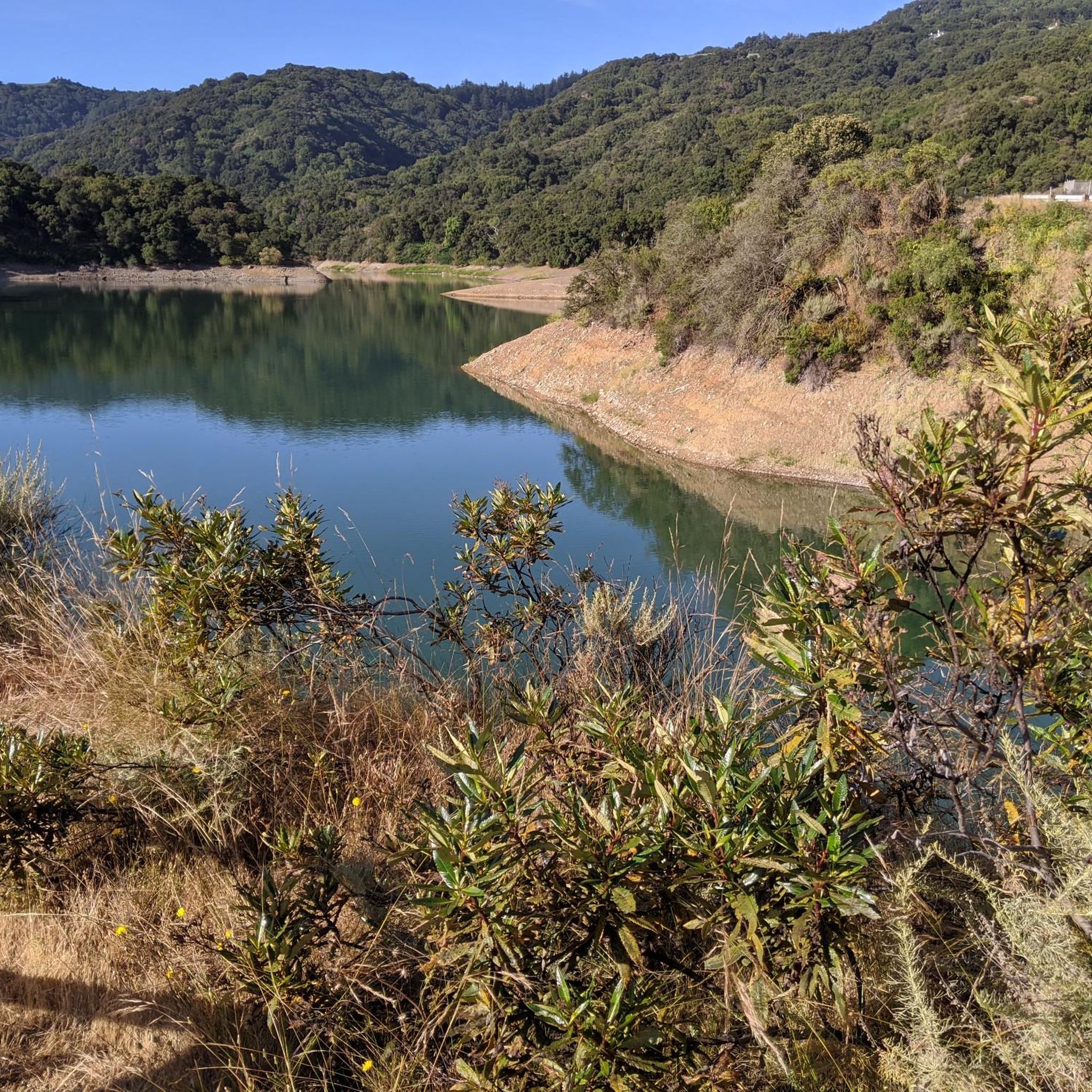
Stevens Creek Reservoir spans 87 acres and is surrounded by a 1,063-acre park. Visitors can enjoy hiking, horseback riding, picnicking, and limited fishing. Seasonal boating for low-power boats is available from mid-April to mid-October. The park is open daily from 8 a.m. to sunset, with vehicle entry fees collected year-round at the Chestnut parking lot. Visitors can explore natural beauty and historic remnants like the Villa Maria orchard.
0
0

This beautiful reservoir is overlooked by the Santa Cruz Mountains. It's a great spot!
0
0

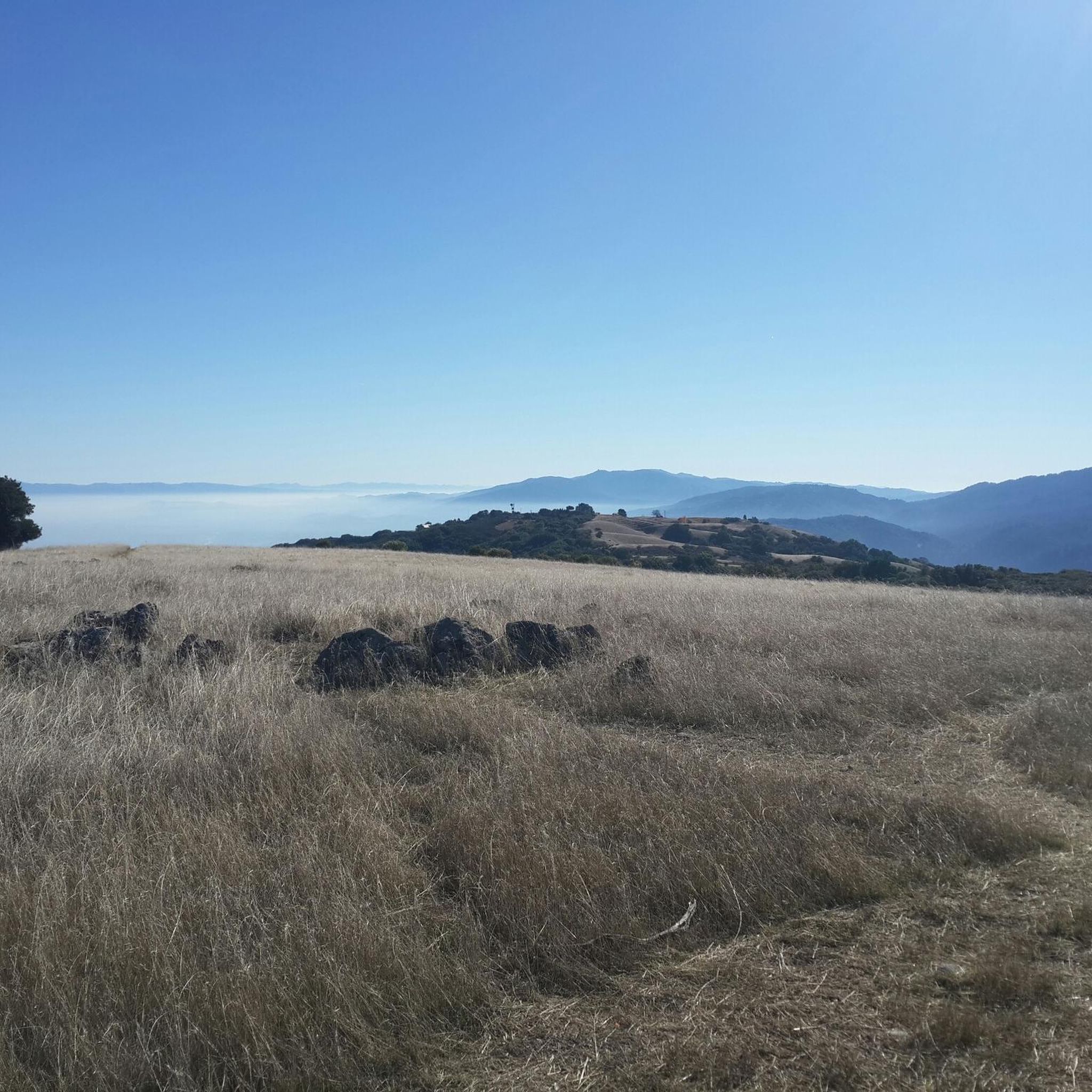
Hunter's Point is a nice little summit located just west of Cupertino. From the top of this respectable 948-foot hill, you can enjoy a 360-degree view of Silicon Valley!
0
0
A lookout of the Bay Area over the town of Saratoga, right off the Woodhills Loop Trail.
0
0
From the top of Nob Hill, you can overlook stunning views of the rolling hills and all the way down to the bay. The top of the hill is a large grass area that is perfect for a picnic.
0
0

Maisie's Peak offers panoramic views of the surrounding open space and Diablo Mountain range at 1,180 feet of elevation. This is the highest point in the park.
0
0
Stevens County Park is open year-round from 8am until sunset. Fishing boats, but must not be a power boat and must be off the water 30 minutes before the park closes. Check trail makings and be aware; some trails in the park are multi use for equestrians, hikers and bikers.
0
0
Masie's Peak offers panoramic views of the surrounding open space and Diablo Mountain range at 1,180 feet of elevation. This is the highest point in the park.
0
0
Frequently Asked Questions
How many hiking trails are available in Stevens Creek County Park?
Stevens Creek County Park offers a diverse network of over 15 hiking trails. These routes vary in difficulty, providing options for everyone from casual walkers to more experienced hikers.
What is the best time of year to hike in Stevens Creek County Park?
The park offers unique beauty throughout the year. Winter brings tiny waterfalls along Stevens Creek, while spring is ideal for wildflowers. Autumn showcases attractive foliage from sycamore, cottonwood, and maple trees. Weekends can be crowded, so consider visiting on weekdays for a quieter experience.
What do other hikers enjoy most about Stevens Creek County Park?
The komoot community highly rates the trails in Stevens Creek County Park, with an average score of 4.7 stars from over 280 reviews. Hikers frequently praise the scenic Stevens Creek and its shaded paths, the expansive reservoir views, and the varied terrain that connects to adjacent open space preserves.
Are there easy hiking trails suitable for beginners or casual walks?
Yes, Stevens Creek County Park has 5 easy trails perfect for beginners or those seeking a relaxed walk. An excellent option is Maisie's Peak via Vista and Lookout Trail, an easy 2.5-mile path that offers views of the eastern portion of Fremont Older.
Are there any challenging hikes in Stevens Creek County Park?
While most trails are easy to moderate, there is 1 difficult route for those seeking a greater challenge. The park's terrain includes rolling oak and chaparral-covered hillsides, providing elevation changes that can make for a more strenuous workout.
Can I find circular hiking routes in the park?
Yes, many trails in Stevens Creek County Park are designed as loops or can be combined to form circular routes. For example, the Stevens Creek Dam loop from Campbell is a popular 2.6-mile circular trail around the dam area.
What natural features or viewpoints can I expect to see while hiking?
Hikers can enjoy diverse natural features including the scenic Stevens Creek, the 87-acre Stevens Creek Reservoir, and rolling oak and chaparral-covered hillsides. For classic views of the Northern California rolling hills, visit Inspiration Point. Maisie's Peak also offers good views of the eastern Fremont Older area.
Are there any waterfalls in Stevens Creek County Park?
Yes, during the winter months, hikers can discover tiny waterfalls along the Stevens Creek Tony Look Trail, adding a charming element to the creekside paths.
Is Stevens Creek County Park suitable for families with children?
Absolutely. The park offers several easy and moderate trails that are suitable for families. The diverse landscape and opportunities for wildlife spotting make it an engaging outdoor experience for all ages. There's also a Picnic Area at Stevens Creek Reservoir for family outings.
Are dogs allowed on the hiking trails in Stevens Creek County Park?
Stevens Creek County Park is generally dog-friendly, but it's always best to check specific trail regulations and ensure your dog is on a leash. Many multi-use trails welcome leashed dogs.
What are the parking options at Stevens Creek County Park?
The park provides various parking areas, including designated lots near trailheads. It's advisable to arrive early on weekends, as the park can get crowded. Specific parking information can often be found on the county park's official website.
Can I extend my hike into adjacent open space preserves?
Yes, Stevens Creek County Park connects to the adjoining Fremont Older Open Space Preserve and Picchetti Ranch Open Space Preserve. This allows for longer loops and extended out-and-back excursions, offering more extensive hiking opportunities.
Most popular routes in Stevens Creek County Park
Most popular attractions in Stevens Creek County Park

Get inspired with the komoot mobile app


Explore more
Browse the best Hikes in other regions.
