The best running trails in Monte Bello Open Space Preserve
4.7
(39)
2,157
runners
150
runs
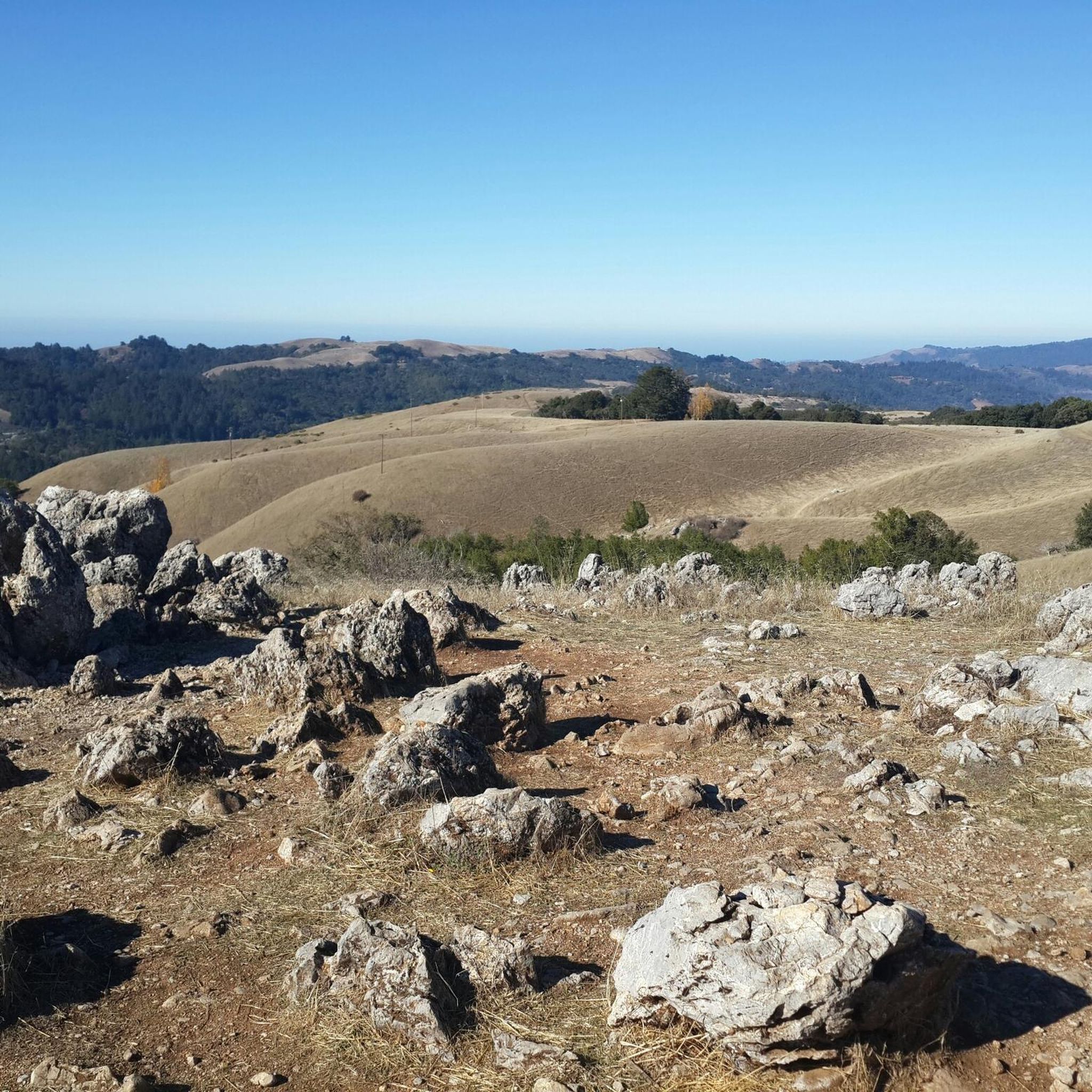
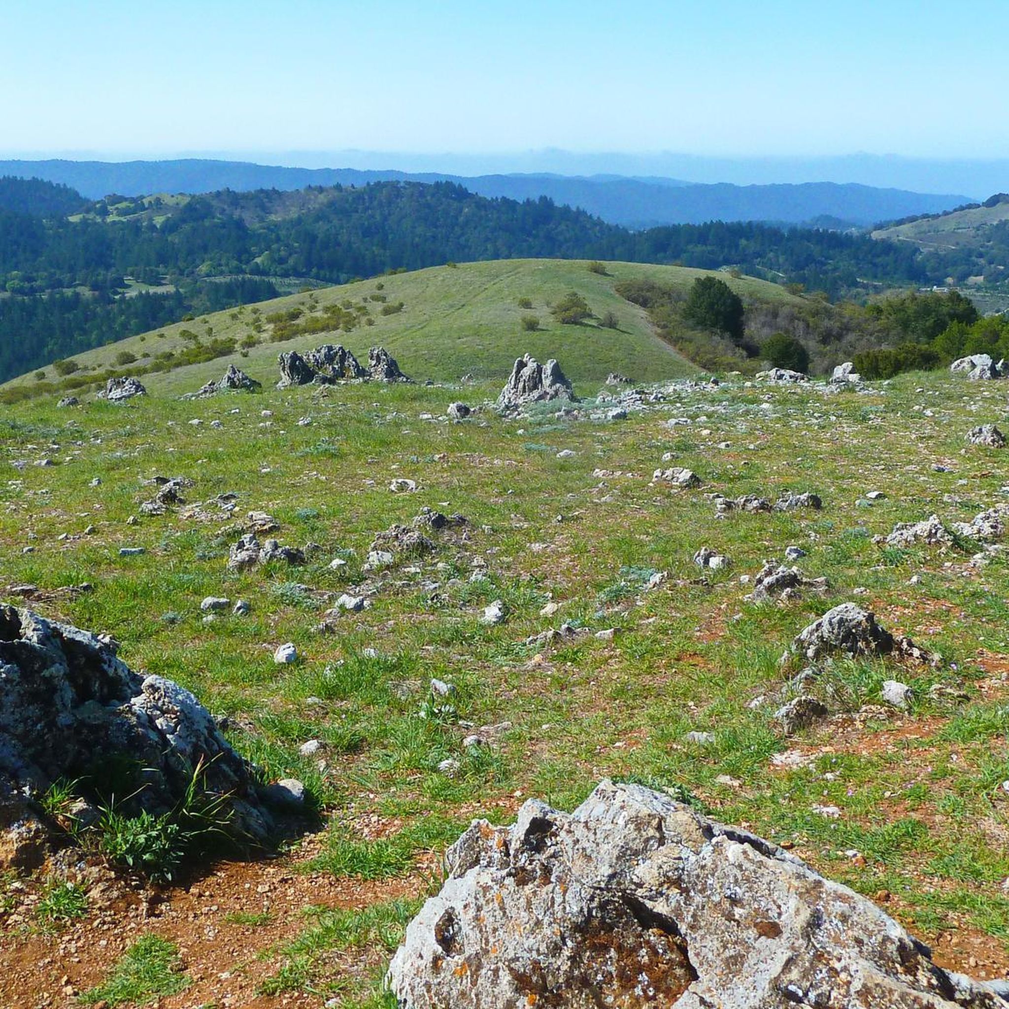
Jogging in Monte Bello Open Space Preserve offers diverse landscapes within the Santa Cruz Mountains near Palo Alto. The region features rolling grasslands, dense creekside forests of Douglas fir and California bay, and varied riparian corridors. Runners encounter a mix of environments, from shaded canyons to open areas with views of the Santa Clara Valley. The preserve's trail system includes varying elevations, with routes ascending to Black Mountain, which reaches 2,800 feet.
Best jogging routes in Monte Bello Open Space…
Last updated: July 7, 2026
8.19km
00:58
240m
240m
Moderate run. Good fitness required. Mostly paved surfaces. Suitable for all skill levels.
1
runners
12.0km
01:20
290m
290m
Moderate run. Good fitness required. Mostly paved surfaces. Suitable for all skill levels.

Sign up for free
2.19km
00:17
50m
50m
Easy run. Great for any fitness level. Mostly paved surfaces. Suitable for all skill levels.
5.92km
00:43
150m
150m
Moderate run. Good fitness required. Mostly paved surfaces. Suitable for all skill levels.
4.50km
00:33
130m
130m
Moderate run. Good fitness required. Mostly paved surfaces. Suitable for all skill levels.
Get access to more routes and recommendations from other explorers.
Sign up for free
Already have an account?
Our route recommendations are based on thousands of hikes, rides, and runs completed by other people on komoot.
Start today with a free account
Your next adventure awaits.
Login or Signup
Popular around Monte Bello Open Space Preserve

Other adventures in Monte Bello Open Space Preserve

Tips from the Community

Black Mountain, situated on Monte Bello Ridge, is a popular destination for hikers and mountain bikers. With an elevation of 2,812 feet, it's easy to understand why. From the summit, the views of the Santa Cruz Mountains and Silicon Valley are breathtaking.
0
0
This beautiful trail passes through madrone and oak woods before emerging into grasslands peppered with very large old oak trees. The wooded areas on the route are a welcome relief on a hot day. The trail runs along Steven Creek and its tributaries, offering a lush forest floor ladened with wild rose, ferns and gooseberry under the California bay and big-leaf maple trees.
0
0

White Oak Trail is a nice flowy single track trail that meanders through a mixture of open grassland and shaded oak forests. You can enjoy both lowland views for plants/wildlife, and scenic overlooks.
0
0

The San Andreas Fault is one of the world's longest earthquake fault lines, it runs down the middle of the nature preserve. There are nine stations in the area that have educational information about the land around the fault line. This area also has nice views to Loma Prieta.
0
0

This pond rests atop the San Andreas Fault, causing an indentation that later filled up from an underground spring. Unfortunately, the water isn't easily visible due to the overgrowth of cattails in the area. Nonetheless, it remains a beautiful natural spot worth the effort to explore.
1
0
Standing at 2,800 feet, this mountain provides stunning views of the Monte Bello Open Space Preserve. Accessible from five different parks, reaching this summit allows you to add variety to your route.
0
0


Highest point with a view across Palo Alto, Stanford, the Silicon Valley, and across the Bay. Note the Kaiser Permanente limestone quarry right below, ringed on the south by Permanente creek: Kaiser started it in 1939 and it gave the name to his business empire and the hospitals til today.
2
0
Frequently Asked Questions
What is the general difficulty of running trails in Monte Bello Open Space Preserve?
Monte Bello Open Space Preserve offers a variety of running routes suitable for different fitness levels. You'll find everything from easy paths, like the San Andreas Fault Trail, to more challenging ascents towards Black Mountain. Overall, the preserve has 14 easy, 88 moderate, and 42 difficult routes, ensuring options for all runners.
What kind of terrain can I expect on the running trails?
Runners in Monte Bello Open Space Preserve will experience diverse terrain. The routes feature rolling grasslands, dense creekside forests of Douglas fir and California bay, and varied riparian corridors. You'll encounter a mix of shaded canyons and open areas, with some trails offering significant elevation changes as they climb towards viewpoints like Black Mountain.
Are there challenging running routes with significant elevation gain?
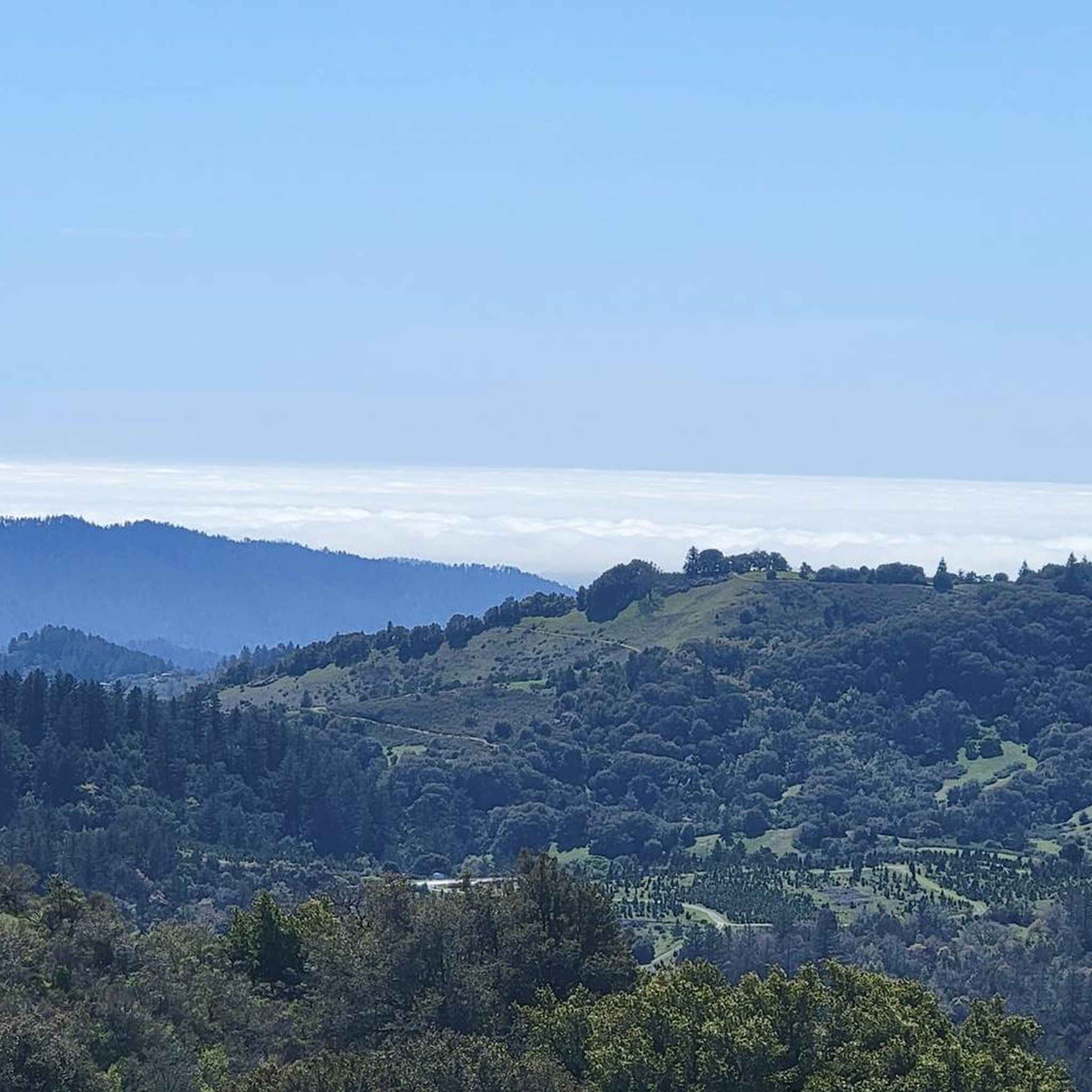
Yes, for those seeking a more rigorous run, several trails lead to the summit of Black Mountain, which reaches 2,800 feet. These routes offer challenging ascents with rewarding panoramic views of the Santa Clara Valley, Mount Hamilton, and even the Pacific Ocean on clear days. The Black Mountain via Sag Pond loop is a good example of a route with notable elevation gain.
What natural features or viewpoints can I see while running?
Monte Bello Open Space Preserve is rich in natural beauty. You can enjoy spectacular vistas from the summit of Black Mountain, offering views of the Santa Clara Valley, San Francisco, and Silicon Valley. The Bella Vista Trail is also known for some of the best views in the Santa Cruz Mountains. Additionally, you might encounter a sag pond formed by faults and fed by a spring, accessible via the Canyon Trail, and the San Andreas Fault runs through the valley of upper Stevens Creek.
Are there any specific landmarks worth visiting on a run?
Beyond the stunning natural views, key landmarks include the summit of Black Mountain, which provides incredible panoramas. The Stevens Creek Nature Trail offers interpretive signs along its path, providing insights into the preserve's ecosystems. The historical Skid Road Trail, once used by 19th-century loggers, also offers a glimpse into the area's past.
Is parking available at Monte Bello Open Space Preserve trailheads?
Yes, parking is generally available at the main trailheads for Monte Bello Open Space Preserve. It's always a good idea to check specific trailhead information before your visit, especially during peak times, as parking can fill up quickly.
When is the best time of year to go running in Monte Bello Open Space Preserve?
The preserve is beautiful year-round, but spring is particularly vibrant with wildflowers like California poppy and purple owl's-clover. Clear days offer the best panoramic views from higher elevations. Summers can be warm, so early mornings or late afternoons are ideal. Fall and winter provide cooler temperatures, though some trails might be muddy after rain.
Are there family-friendly running trails in Monte Bello Open Space Preserve?
Yes, there are options suitable for families. The Stevens Creek Nature Trail, for instance, has an easy-access portion with a gentle 5% grade leading to a dramatic vista point, making it suitable for a leisurely family jog or walk. Many of the easier routes are also great for families.
Are dogs allowed on the running trails in Monte Bello Open Space Preserve?
While Monte Bello Open Space Preserve is a fantastic place for human-powered outdoor activities, dogs are generally not permitted on the trails. It's always best to check the specific regulations of the preserve before planning your visit with pets.
What do other runners enjoy the most about running in Monte Bello Open Space Preserve?
The running routes in Monte Bello Open Space Preserve are highly rated by the komoot community, with an average score of 4.8 stars from over 30 reviews. Runners often praise the diverse landscapes, from rolling grasslands to dense forests, and the spectacular vistas from viewpoints like Black Mountain. The variety of trail difficulties and the serene natural setting are also frequently highlighted.
Are there loop running trails available?
Yes, Monte Bello Open Space Preserve offers several excellent loop trails for runners. The Black Mountain via Sag Pond loop is a popular choice, and the White Oak and Stevens Creek Nature Trail Loop provides another great option for a circular run through varied scenery.
How many running routes are available in Monte Bello Open Space Preserve?
There are over 140 running routes available in Monte Bello Open Space Preserve, offering a wide range of distances and difficulties. This extensive network ensures that runners can find a new path to explore or revisit a favorite for a fresh experience.
Most popular routes in Monte Bello Open Space Preserve
Most popular attractions in Monte Bello Open Space Preserve

Get inspired with the komoot mobile app


Explore more
Browse the best Running Trails & Routes in other regions.
