The best road cycling routes in Rancho San Antonio County Park
4.5
(331)
8,272
riders
183
rides
Road cycling in Rancho San Antonio County Park features a landscape of rolling hills, open grasslands, and occasional forested sections within Santa Clara County. The terrain includes varied elevations, from gentle slopes to more challenging ascents. Paved roads and dedicated paths provide access through the park's natural environment. The area offers diverse landscapes, including chaparral, grassland, and oak woodlands, with views of the surrounding preserve and the wider Bay Area.
Best road cycling routes in Rancho San Antonio County Park
…Last updated: September 1, 2026
5.0
(1)
93
riders
40.2km
02:07
670m
670m
Moderate road ride. Good fitness required. Mostly well-paved surfaces and easy to ride.
4.5
(2)
25
riders
Moderate road ride. Good fitness required. Mostly well-paved surfaces and easy to ride.

Sign up for free
3.0
(1)
11
riders
12.9km
00:40
150m
150m
Easy road ride. Great for any fitness level. Mostly well-paved surfaces and easy to ride.
3.0
(1)
14
riders
24.0km
01:13
300m
300m
Moderate road ride. Good fitness required. Mostly well-paved surfaces and easy to ride.
12
riders
19.4km
01:05
250m
250m
Easy road ride. Great for any fitness level. Mostly well-paved surfaces and easy to ride.
Get access to more routes and recommendations from other explorers.
Sign up for free
Already have an account?
Our route recommendations are based on thousands of hikes, rides, and runs completed by other people on komoot.
Start today with a free account
Your next adventure awaits.
Login or Signup


Tips from the Community

Stevens Creek Reservoir spans 87 acres and is surrounded by a 1,063-acre park. Visitors can enjoy hiking, horseback riding, picnicking, and limited fishing. Seasonal boating for low-power boats is available from mid-April to mid-October. The park is open daily from 8 a.m. to sunset, with vehicle entry fees collected year-round at the Chestnut Parking Lot. Visitors can explore natural beauty and historic remnants like the Villa Maria orchard.
1
0

Moody Road is a short route for cyclists connected to nearby trails or longer climbs like Page Mill Road. It offers a mix of rolling hills and quiet, scenic vibes. The last km is tough, but in the end it is always worth it.
0
0
Moody Road is a short route for cyclists connected to nearby trails or longer climbs like Page Mill Road. It offers a mix of rolling hills and quiet, scenic vibes. The last km is though, but in the end it is always worth it.
1
0
Page Mill Road is a classic route for cyclists looking for a challenge, with its steep climbs, sharp switchbacks, and stunning views of Silicon Valley. Starting near Palo Alto and climbing into the Santa Cruz Mountains, the ride tests your legs but rewards you with breathtaking scenery. Be prepared for varying gradients, especially in the lower sections, and pack plenty of water—the climb can be intense, especially on warmer days.
0
0
Charming bridge crossing Seven's Creek Boulevard at the north end of Creekside Park. Nearby, you’ll find the historic Stocklmeir Farmhouse in Blackberry Farm Park.
0
0

The Mora Trail is a paved path that offers great views and helps connect some of the paths within Rancho San Antonio County Park to each other.
0
0

Adobe Creek flows from the Santa Cruz mountains to the Palo Alto Flood Basin. It used to be a perennial stream with lots of fish but has been canalised and managed so that it's now constant and doesn't have any fish.
0
0

There's always something going on in the tree-lined streets of downtown Los Altos. Most notably, its annual Arts & Wine festival, which completely takes over the area.
0
0
Frequently Asked Questions
What is the general difficulty level of road cycling routes in Rancho San Antonio County Park?
Rancho San Antonio County Park offers a wide range of road cycling routes suitable for various skill levels. You'll find everything from easy rides with gentle slopes to challenging ascents and long-distance routes. Approximately 85 routes are considered easy, 71 are moderate, and 25 are difficult, providing options for every cyclist.
Are there beginner-friendly road bike routes in Rancho San Antonio County Park?
Yes, beginners can find suitable routes. For an easier ride, consider the Adobe Creek loop from Monta Vista High School, which covers 14.6 miles (23.4 km) with manageable elevation changes. The park's terrain includes gentle slopes perfect for those new to road cycling.
What are some challenging road bike routes for experienced cyclists in Rancho San Antonio County Park?
Experienced cyclists looking for a challenge have several options. The Stevens Creek Reservoir – Skyline Boulevard loop from Rancho San Antonio County Park is a difficult 67.4 miles (108.5 km) route with significant elevation changes and panoramic views. Another demanding option is the Mount Umunhum Road – Mount Umunhum loop from Monta Vista High School, which spans 54.0 miles (86.9 km) through varied terrain with substantial climbs.
Are there paved trails suitable for families and road biking in Rancho San Antonio County Park?
While the park features paved roads and dedicated paths, specific routes designated solely as 'paved trails for families' are not explicitly highlighted. However, many of the easier routes, particularly those with less elevation gain, can be enjoyed by families. Always check the route details for surface information and difficulty before heading out.
What is the best season for road biking in Rancho San Antonio County Park?
The mild climate of the Bay Area generally makes road cycling enjoyable year-round. However, spring and fall often offer the most pleasant conditions with moderate temperatures and less chance of extreme heat or heavy rain. Summers can be warm, especially in the afternoon, while winters are typically mild but may bring occasional wet weather.
Where can I find parking for road cycling trailheads in Rancho San Antonio County Park?
Rancho San Antonio County Park has several designated parking areas. The main parking lot is located off Cristo Rey Drive, providing convenient access to various trailheads. Additional parking may be available near specific access points or adjacent areas, but it's always advisable to check local signage for restrictions and availability, especially on busy weekends.
Are there scenic viewpoints along the road bike routes in Rancho San Antonio County Park?
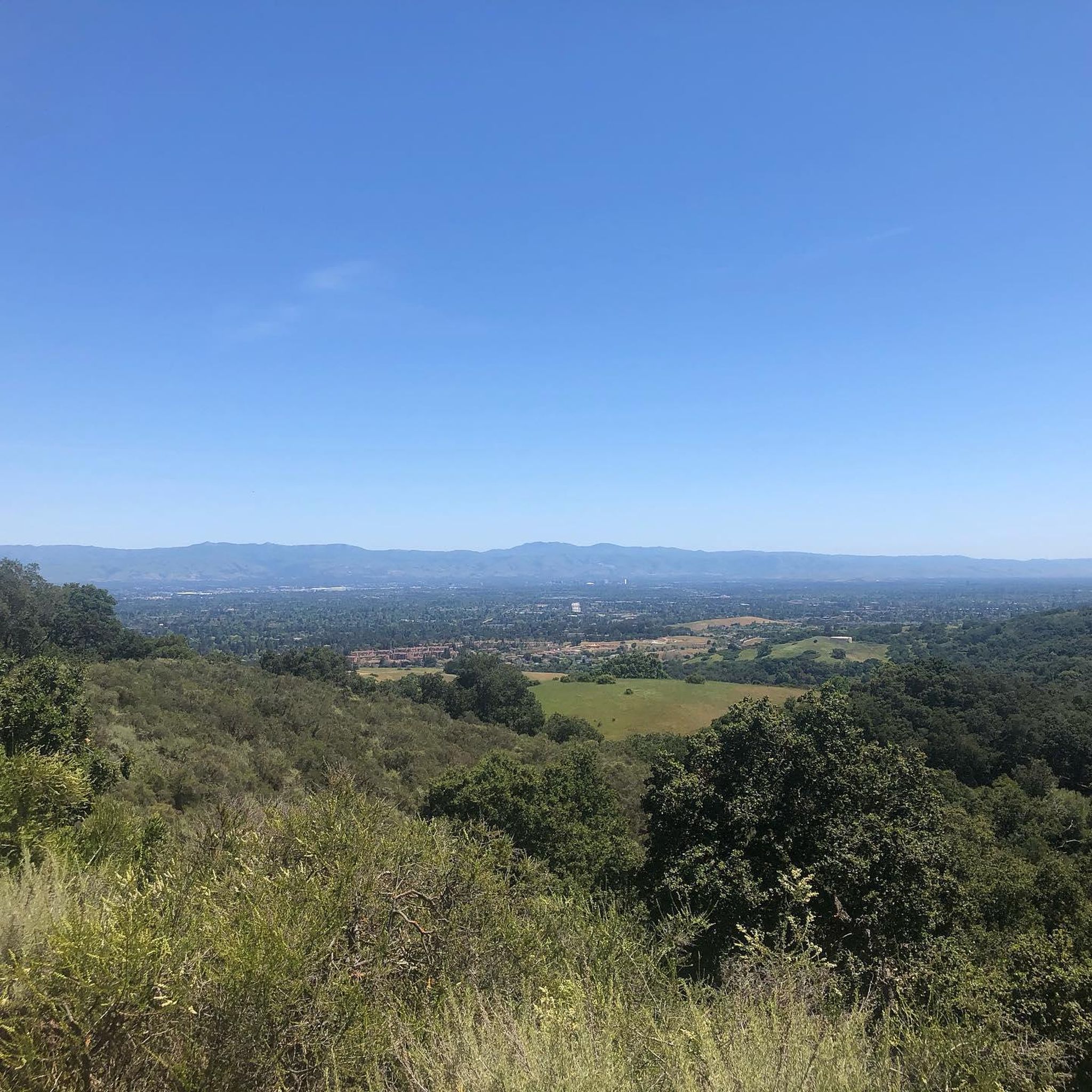
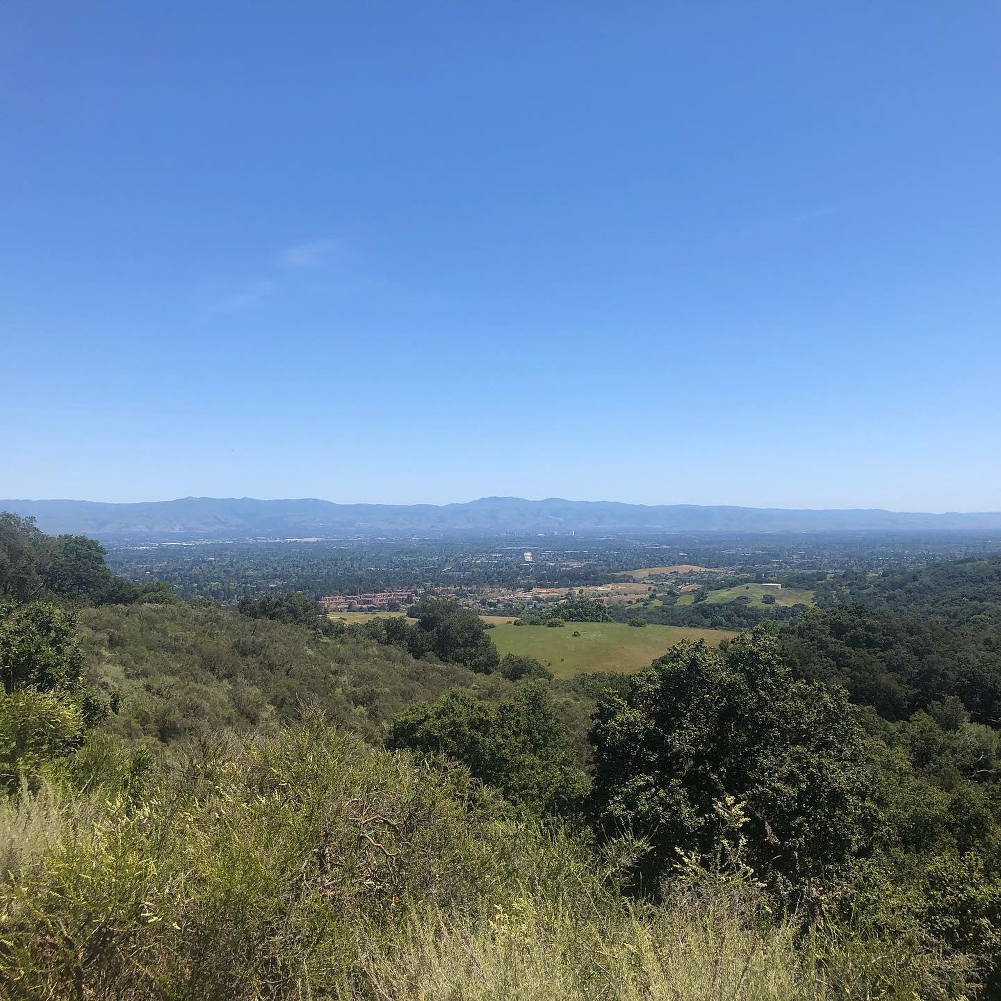
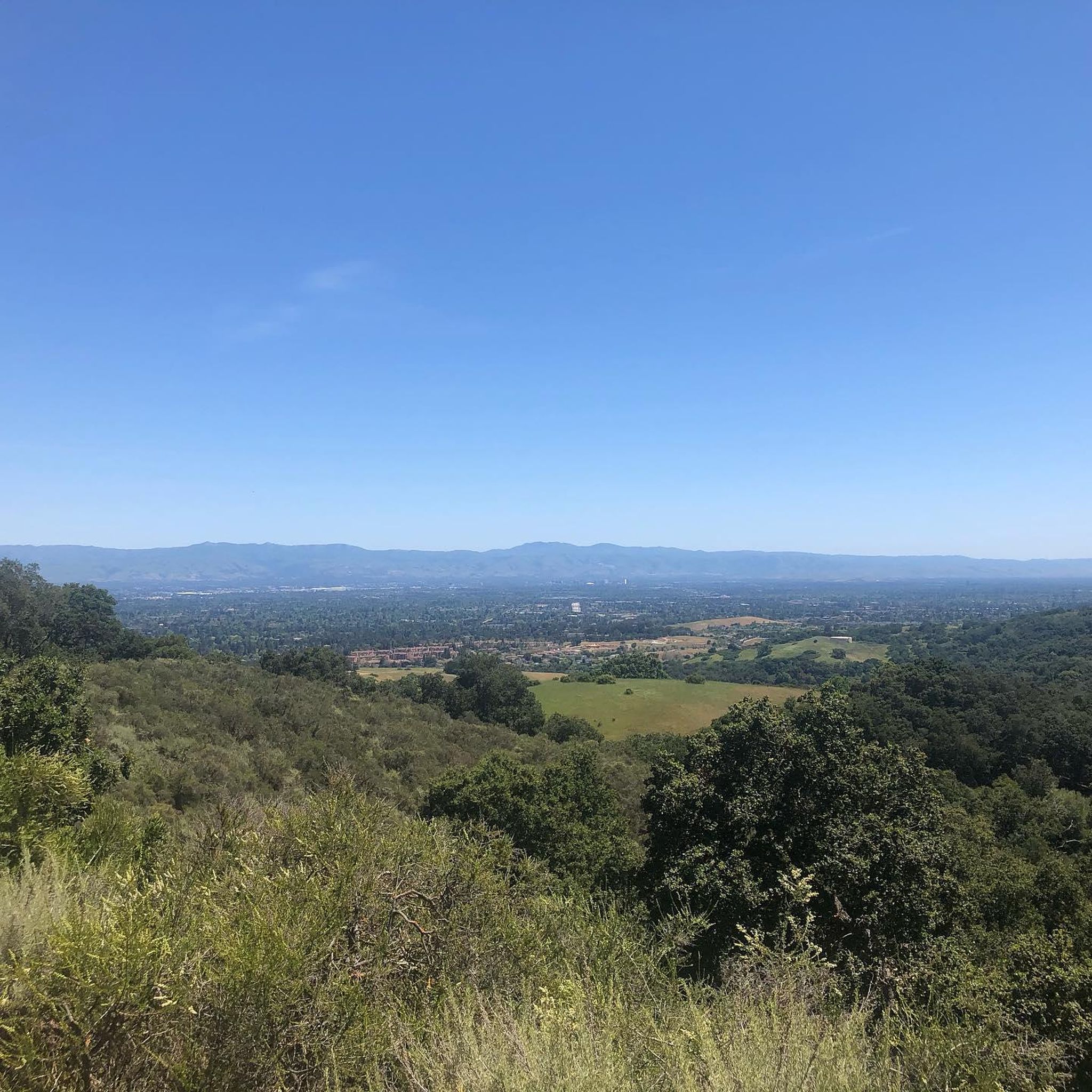
Yes, many routes offer scenic vistas. The park's rolling hills and elevated sections provide opportunities for panoramic views of the surrounding landscape, including open grasslands and occasional forested areas. The Altamont Road Vineyard – Elena Road Viewpoint loop from Rancho San Antonio County Park, for instance, is known for its elevated viewpoints and vineyard scenery.
What kind of wildlife and nature can I expect to see on the bike trails?
Rancho San Antonio County Park is home to diverse wildlife. Cyclists might spot deer, rabbits, various bird species, and occasionally coyotes or bobcats, especially during quieter times of the day. The park's natural environment features open grasslands, oak woodlands, and riparian areas, offering a rich natural experience.
Are there any good road bike loop options in Rancho San Antonio County Park?
Loop routes are a popular way to explore the park. A prominent example is the Stevens Creek Reservoir – Skyline Boulevard loop from Rancho San Antonio County Park, which offers a comprehensive tour of the area's varied terrain. Many other routes are designed as loops, allowing you to start and end at the same point.
What do other road cyclists enjoy most about road cycling in Rancho San Antonio County Park?
The area is highly rated by the komoot community, with an average score of 4.7 stars from over 280 reviews. Reviewers often praise the diverse terrain, from rolling hills to challenging climbs, and the beautiful natural environment. The variety of routes catering to different skill levels and the scenic views are frequently highlighted as major draws.
How does road cycling in Rancho San Antonio County Park compare to Fremont Older Open Space Preserve?
Both Rancho San Antonio County Park and Fremont Older Open Space Preserve offer excellent road cycling opportunities in the Santa Clara County area. Rancho San Antonio is characterized by its extensive network of routes, including longer, more challenging options with significant elevation changes and panoramic views, such as those leading towards Skyline Boulevard. Fremont Older, while also featuring hills and scenic routes, might offer a slightly different feel with its specific trail configurations and views. Both provide a rewarding experience, but Rancho San Antonio generally offers a broader range of distances and elevation profiles for road cyclists.
Most popular routes in Rancho San Antonio County Park

Get inspired with the komoot mobile app


Explore more
Browse the best Road cycling routes in other regions.
