The best running trails in Los Trancos Open Space Preserve
4.8
(35)
1,951
runners
89
runs
Jogging in Los Trancos Open Space Preserve offers diverse terrain for runners, characterized by rolling grassland knolls, oak woodlands, and cool shaded forests. The preserve is notably bisected by the San Andreas Fault, providing unique geological features along some routes. Situated in the Santa Cruz Mountains, the area features varied elevation, with trails ranging from easy to difficult. This natural setting provides a compelling backdrop for running routes of different lengths and challenges.
Best jogging routes in Los Trancos Open Space Preserve
- The most popular jogging route is Black Mountain via Sag Pond loop, a 5.1 miles (8.2 km) trail that takes about 1 hour to complete. This route offers panoramic views and varied terrain.
- Another top favourite among local runners is San Andreas Fault Trail, an easy 1.4 miles (2.2 km) path. This trail features interpretive stations explaining earthquake geology and leads through shaded forest.
- Local runners also love the Canyon and Stevens Creek Nature Trail Loop, a 2.8 miles (4.5 km) trail leading through varied terrain with some paved sections, often completed in about 35 minutes.
- Jogging in Los Trancos Open Space Preserve is defined by rolling grassland knolls, oak woodland, and shaded forests. The network offers options for different ability levels, from easy paths to more challenging routes with elevation gain.
- The routes in Los Trancos Open Space Preserve are highly rated by the komoot community with an average score of 4.8 stars from over 30 reviews. More than 2000 runners have used komoot to explore Los Trancos Open Space Preserve's varied terrain.
Last updated: June 23, 2026
8.19km
00:58
240m
240m
The Black Mountain via Sag Pond loop offers a diverse jogging experience, taking you through a mix of grasslands, chaparral, and oak woodlands. You'll find yourself on both single-track paths and wider dirt roads, with the landscape constantly shifting. A unique feature is Sag Pond, a natural indentation formed by the San Andreas Fault, which adds a touch of geological wonder to your run.
This moderate 5.1-mile (8.2 km) route involves 800 feet (244 metres) of elevation gain, making it a solid workout that most joggers can complete in around 57 minutes. While the ascent to Black Mountain includes some steep, exposed sections, the varied terrain and rewarding views across the Bay Area make the effort worthwhile. It's a great option for those seeking a balanced challenge.
Located in the Rancho San Antonio Open Space Preserve, this trail is particularly stunning in spring when wildflowers like mariposa lilies and poppies bloom. The route also provides views of the historic Kaiser Permanente limestone quarry. Remember to bring plenty of water, especially during warmer months, as shade can be sparse on some of the climbs.
2.19km
00:17
50m
50m
The San Andreas Fault Trail offers a truly unique jogging experience, taking you directly over one of the world's most active geological features. You'll wind through a beautifully shaded forest of bay trees and oaks, with the singletrack path revealing fascinating geological features like sag ponds and pressure ridges. It's an easy 1.4-mile (2.2 km) route, perfect for a quick 17-minute jog, and provides a rare chance to see geology in action.
This family-friendly San Andreas Fault jogging trail is located in the Los Trancos Open Space Preserve, making it an accessible option for a quick outdoor escape. Its easy difficulty and minimal 175 feet (53 metres) of elevation gain mean it's suitable for beginner joggers and families looking for a gentle outing. The shade provided by the forest canopy also makes it a comfortable choice for jogging even when the weather warms up.
What makes this one of the more popular San Andreas Fault jogging trails are the interpretive stations dotted along the route. These points of interest explain the earthquake geology, showcasing how the fault has shaped the landscape and even affected tree growth. It's a fantastic opportunity to combine a light workout with an educational tour of a major natural wonder, offering a glimpse into the powerful forces beneath our feet.

Sign up for free
4.50km
00:33
130m
130m
The Canyon and Stevens Creek Nature Trail Loop offers a fantastic blend of terrain and views for joggers in Monte Bello Open Space Preserve. You'll navigate through oak woodlands, open grasslands, and forested canyons, with the trail winding down into Stevens Creek Canyon before climbing back out. It's a moderate 2.8-mile (4.5 km) route with 436 feet (133 metres) of elevation gain, making it a solid 32-minute effort that feels longer thanks to the varied scenery.
Planning your visit means checking for current conditions, as some adjacent trails are closed for construction until September 2026, though the Stevens Creek Nature Trail is open. Parking can fill up, so an early start is recommended, especially if you want to enjoy the cooler morning air. This loop is a great option for those seeking a quick, challenging jog with rewarding views without committing to an all-day adventure.
What makes this loop particularly interesting is its journey across the San Andreas Fault on the Canyon Trail portion, offering a unique geological perspective. You'll also trace the headwaters of Stevens Creek, which flows all the way to San Francisco Bay. Keep an eye out for local wildlife like western fence lizards in the sunnier spots, adding to the natural appeal of this diverse trail.
8
runners
The White Oak Trail – Black Mountain loop in Los Trancos Open Space Preserve delivers a diverse and challenging jogging experience. You'll navigate a mix of flowy single track through shaded oak woodlands and open grasslands on the White Oak Trail, before ascending to the exposed Black Mountain plateau. The route offers a dynamic shift in scenery and terrain, rewarding your efforts with sweeping views across Silicon Valley and out to the Pacific Ocean.
Planning your visit to this difficult 7.0 miles (11.3 km) route, which involves 1308 feet (399 metres) of elevation gain and takes about 1 hour and 28 minutes, means considering the best time to go. Parking at Los Trancos Open Space Preserve is available, but arriving early is recommended, particularly on busy days. Always bring ample water, as sections of the trail are exposed, and check for any seasonal trail conditions or permit requirements before you head out.
This area is uniquely shaped by the San Andreas Fault, which runs directly through Los Trancos Open Space Preserve, creating interesting geological features like sag ponds. Beyond the physical challenge, the trail offers a chance to observe diverse ecosystems, from moist, fern-filled woods to dry, open fields, and potentially spot wildlife like deer and hawks. It's a top-rated jogging loop for those seeking both a workout and a connection to the natural and geological history of the Santa Cruz Mountains.
5.92km
00:43
150m
150m
The White Oak and Stevens Creek Nature Trail Loop offers a diverse jogging experience, transitioning from sun-drenched open grasslands with sweeping views of Stevens Creek Canyon to the cool, shaded embrace of creekside forests filled with bay laurels and tanoaks. You'll find the White Oak Trail portion to be a particularly enjoyable single track, winding through oak forests. This moderate 3.7-mile (5.9 km) loop, with its 495 feet (151 metres) of elevation gain, is a fantastic way to immerse yourself in nature, typically taking around 43 minutes to complete.
Planning your visit is easy, as the trailhead offers accessible parking, and the initial segment is even suitable for wheelchairs and strollers. The route is a self-guided nature trail, meaning you can learn about the local environment as you go. For the best experience, consider visiting in spring when wildflowers like blue-eyed grass add vibrant splashes of color, though the shaded canyon sections make it a pleasant jog any time of year.
Beyond the beautiful scenery, this trail offers unique insights into the region's geology, as portions run along the San Andreas Fault. Keep an eye out for local wildlife spotting, including lizards and various bird species, especially near Stevens Creek and its tributaries, which you'll cross via bridges. It's a great option if you're curious about how long is White Oak and Stevens Creek Nature Trail Loop and want a trail that combines natural beauty with interesting ecological features.
Get access to more routes and recommendations from other explorers.
Sign up for free
Already have an account?
Our route recommendations are based on thousands of hikes, rides, and runs completed by other people on komoot.
Start today with a free account
Your next adventure awaits.
Login or Signup
Tips from the Community


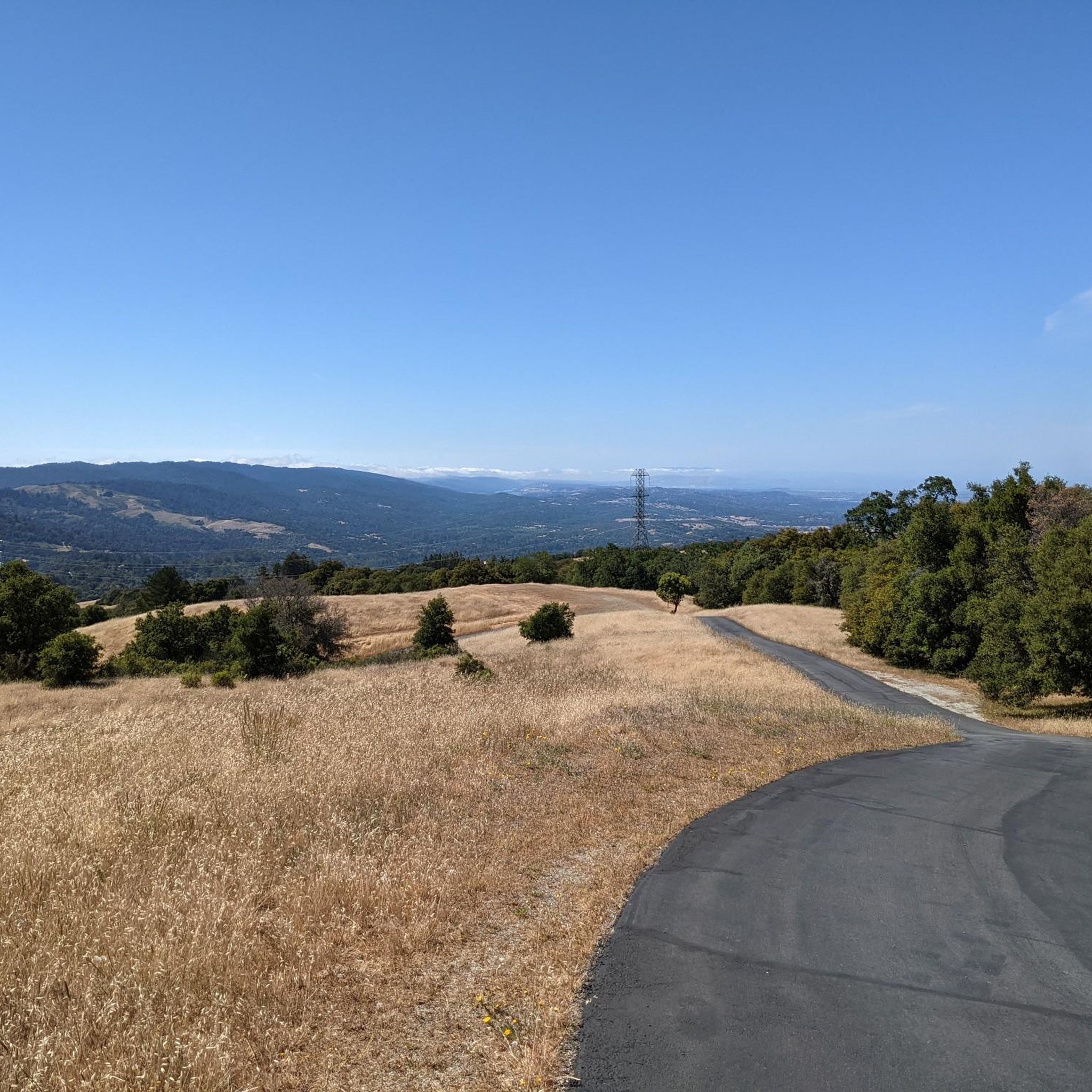
Black Mountain, situated on Monte Bello Ridge, is a popular destination for hikers and mountain bikers. With an elevation of 2,812 feet, it's easy to understand why. From the summit, the views of the Santa Cruz Mountains and Silicon Valley are breathtaking.
0
0

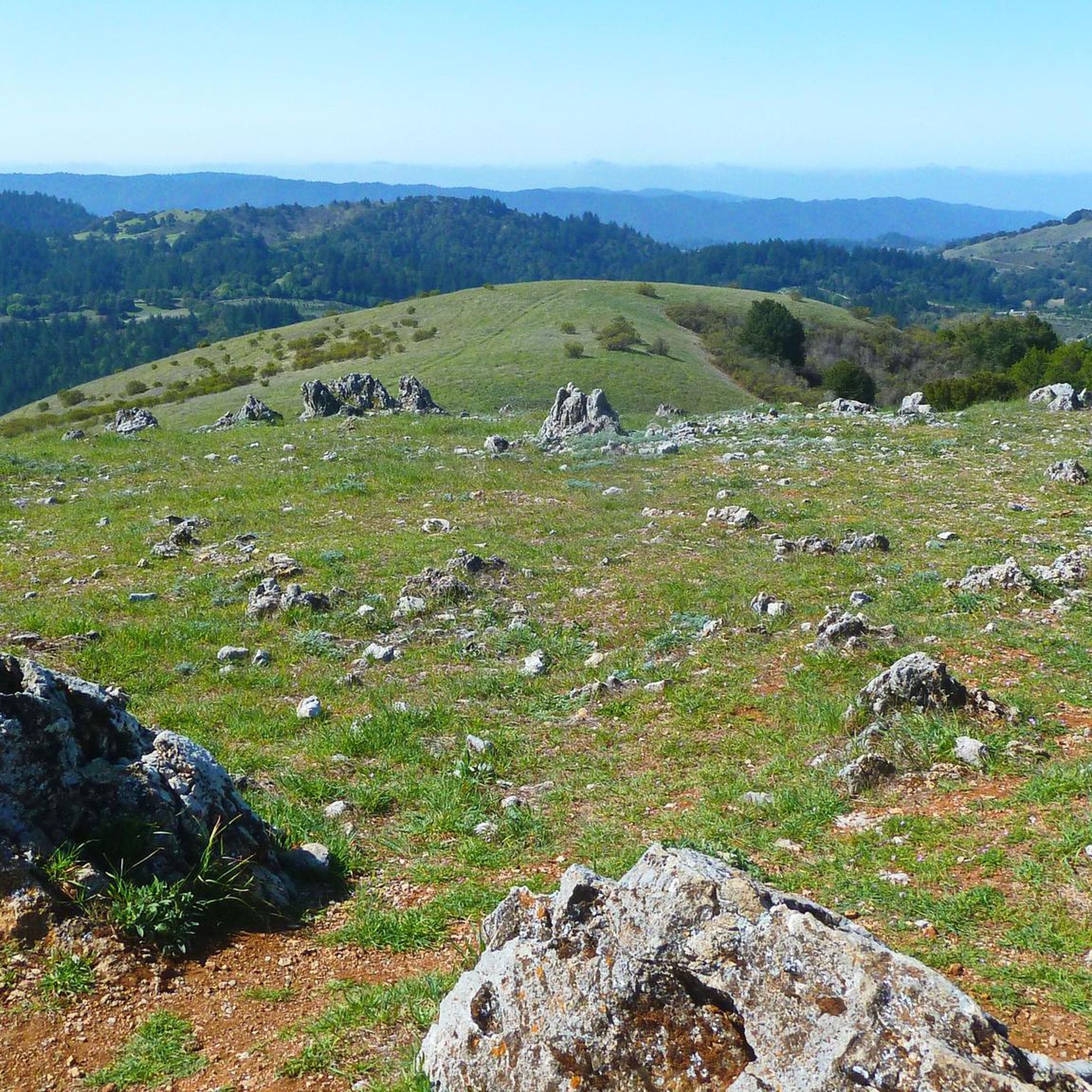
White Oak Trail is a nice flowy single track trail that meanders through a mixture of open grassland and shaded oak forests. You can enjoy both lowland views for plants/wildlife, and scenic overlooks.
0
0

The San Andreas Fault is one of the world's longest earthquake fault lines, it runs down the middle of the nature preserve. There are nine stations in the area that have educational information about the land around the fault line. This area also has nice views to Loma Prieta.
0
0

This pond rests atop the San Andreas Fault, causing an indentation that later filled up from an underground spring. Unfortunately, the water isn't easily visible due to the overgrowth of cattails in the area. Nonetheless, it remains a beautiful natural spot worth the effort to explore.
1
0
Standing at 2,800 feet, this mountain provides stunning views of the Monte Bello Open Space Preserve. Accessible from five different parks, reaching this summit allows you to add variety to your route.
0
0


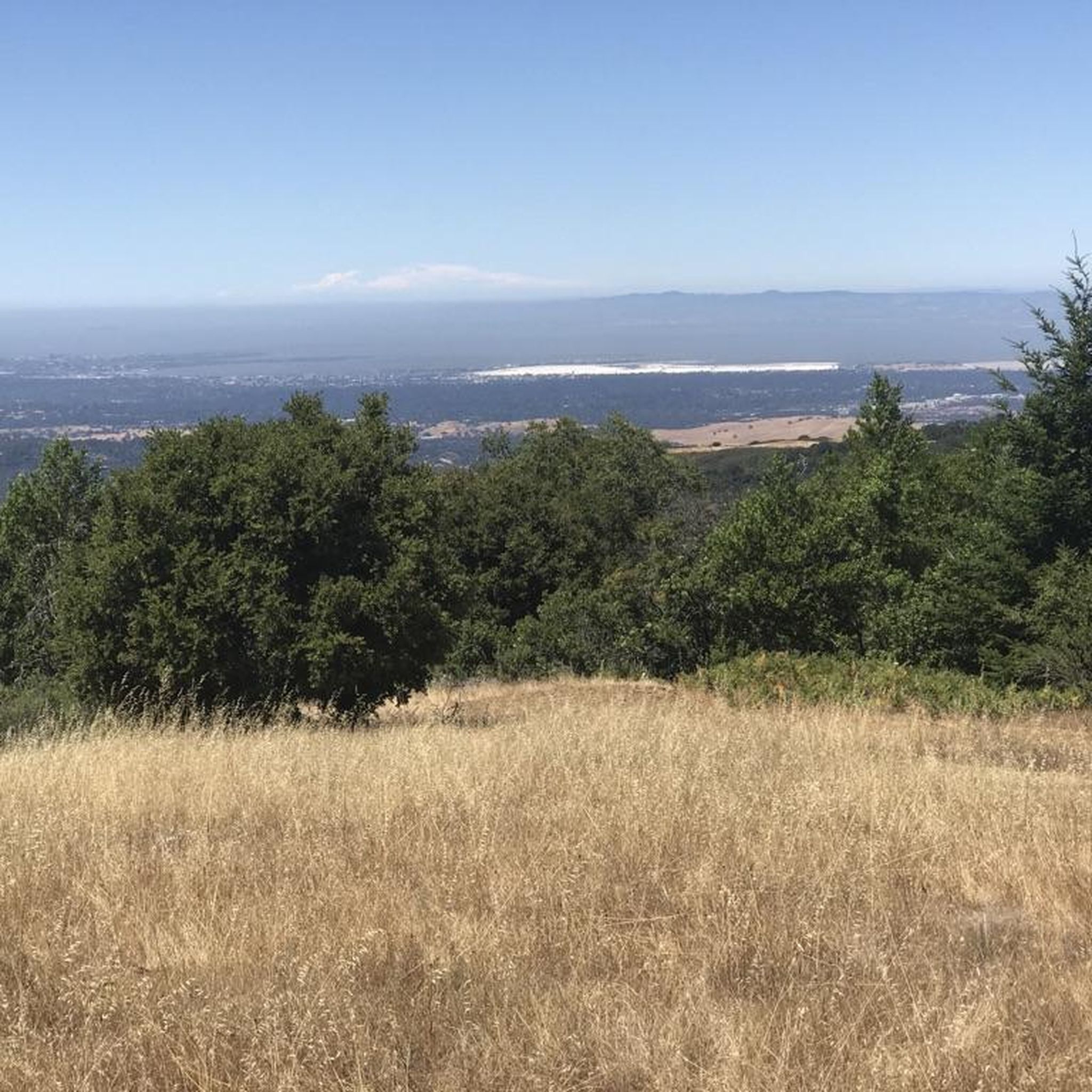
Highest point with a view across Palo Alto, Stanford, the Silicon Valley, and across the Bay. Note the Kaiser Permanente limestone quarry right below, ringed on the south by Permanente creek: Kaiser started it in 1939 and it gave the name to his business empire and the hospitals til today.
2
0
Frequently Asked Questions
How many running routes are available in Los Trancos Open Space Preserve?
Los Trancos Open Space Preserve offers a wide selection of nearly 90 running routes. These range from easy paths to more challenging trails, ensuring options for all fitness levels.
Are there any easy jogging routes for beginners in Los Trancos Open Space Preserve?
Yes, there are several easy jogging routes perfect for beginners. A notable option is the San Andreas Fault Trail, which is about 1.4 miles long and features interpretive stations about the fault line. It's a relatively flat and shaded path.
What kind of terrain can I expect on the running trails in Los Trancos Open Space Preserve?
The preserve features diverse terrain, including rolling grassland knolls, serene oak woodlands, and cool, shaded forests. You'll find a mix of natural surfaces and some paved sections, with varied elevation throughout the park.
Are there any routes with significant elevation gain for a more challenging run?
Absolutely. For a more challenging run with good elevation gain, consider routes like the Black Mountain via Sag Pond loop. This moderate 5.1-mile trail includes about 244 meters of ascent, offering a good workout and panoramic views.
What unique natural features can I see while jogging in Los Trancos Open Space Preserve?
A standout feature is the San Andreas Fault, which bisects the preserve. You can explore the San Andreas Fault Trail to see visible evidence of seismic activity and learn about earthquake geology at interpretive stations. The preserve also boasts panoramic views where you can spot San Francisco and Mount Diablo on clear days.
Are there any loop trails suitable for running in the preserve?
Yes, many trails in Los Trancos Open Space Preserve are loops, ideal for running. Examples include the Canyon and Stevens Creek Nature Trail Loop, a 2.8-mile moderate route, and the White Oak and Stevens Creek Nature Trail Loop, which is about 3.7 miles.
What do other runners say about the trails in Los Trancos Open Space Preserve?
The running routes in Los Trancos Open Space Preserve are highly rated by the komoot community, with an average score of 4.9 stars from over 30 reviews. Runners often praise the diverse terrain, the unique geological features like the San Andreas Fault, and the beautiful shaded sections.
Is Los Trancos Open Space Preserve suitable for family-friendly running?
Yes, the preserve offers several trails that are suitable for families. The easier, shorter loops, particularly those with shaded sections and interesting features like the San Andreas Fault interpretive stations, can be enjoyable for all ages.
Are dogs allowed on the jogging paths in Los Trancos Open Space Preserve?
No, dogs are generally not permitted on the trails within Los Trancos Open Space Preserve. It's always best to check the official preserve rules for any updates before your visit.
What are the best times of year to go running in Los Trancos Open Space Preserve?
The preserve is enjoyable year-round, but spring and fall often offer the most pleasant conditions for running, with mild temperatures and vibrant natural scenery. Many trails provide shade, making it comfortable even on warmer days.
Are there any connections to other trail systems from Los Trancos Open Space Preserve?
Yes, Los Trancos Open Space Preserve connects to dozens of miles of additional trails in the South Skyline Region, including adjacent preserves like Monte Bello Open Space Preserve. This allows for longer, more extensive running adventures.
Where can I find parking for the running trails?
Parking is available at the preserve's main entrance. It's advisable to arrive early, especially on weekends, as parking lots can fill up quickly.
Most popular routes in Los Trancos Open Space Preserve

Get inspired with the komoot mobile app


Explore more
Browse the best Running Trails & Routes in other regions.
