The best walks and hikes in Skyline Ridge Open Space Preserve (Closed Area)
4.7
(195)
2,546
hikers
141
hikes
Hikes in Skyline Ridge Open Space Preserve (Closed Area) explore a 2,143-acre expanse in the Santa Cruz Mountains. The landscape is characterized by a mix of ridge-top trails with expansive views, grasslands, and dense woodlands of Douglas fir and coast live oak. The preserve also contains notable water features, including Horseshoe Lake and Alpine Pond, which are central to several routes.
Best hiking trails in Skyline Ridge Open Space Preserve (Closed Area)
- The most popular hiking route is Horseshoe Lake…
Last updated: July 8, 2026
5.0
(4)
34
hikers
6.06km
01:46
160m
160m
The Borel Hill and Ancient Oaks Loop offers a delightful escape into the Santa Cruz Mountains, blending open meadows with ancient oak woodlands. You'll journey through rolling hills that open…
1.69km
00:29
60m
20m
Hike the easy 1.1-mile New Ancient Oaks Trail in Skyline Ridge Open Space Preserve, featuring ancient trees and scenic views.

Sign up for free
3.35km
00:56
10m
170m
Hike the easy 2.1-mile Old Page Mill Trail in Skyline Ridge Open Space Preserve, offering varied scenery from shaded forests to open fields.
5.0
(2)
25
hikers
7.64km
02:23
290m
290m
Hike the moderate 4.7-mile Mindego Hill Trail for panoramic views of the Pacific Ocean and Santa Cruz Mountains.
5.0
(1)
9
hikers
5.63km
01:46
220m
220m
Easy hike. Great for any fitness level. Easily-accessible paths. Suitable for all skill levels.
Get access to more routes and recommendations from other explorers.
Sign up for free
Already have an account?
Our route recommendations are based on thousands of hikes, rides, and runs completed by other people on komoot.
Start today with a free account
Your next adventure awaits.
Login or Signup
Popular around Skyline Ridge Open Space Preserve (Closed Area)
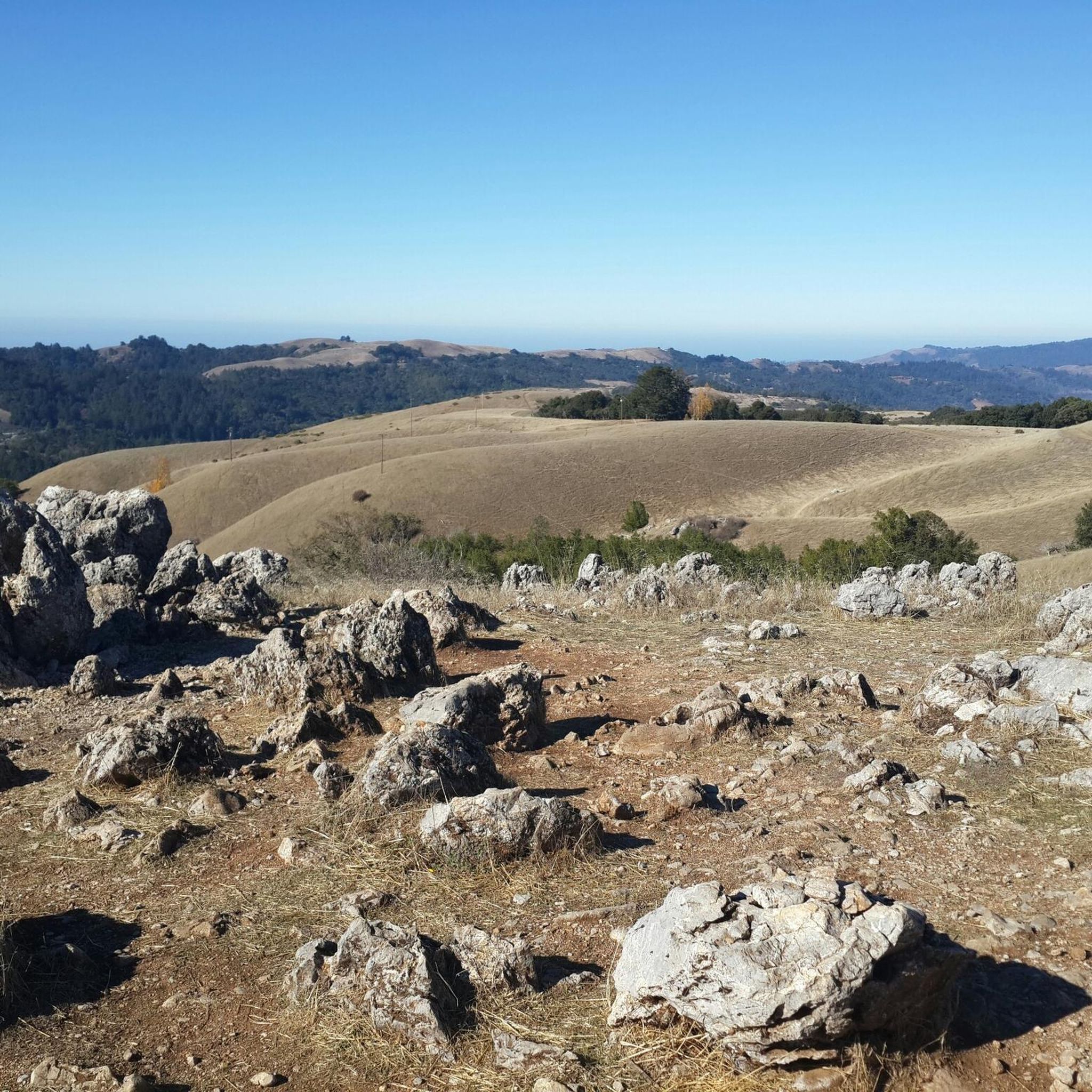
Running Trails in Skyline Ridge Open Space Preserve (Closed Area)
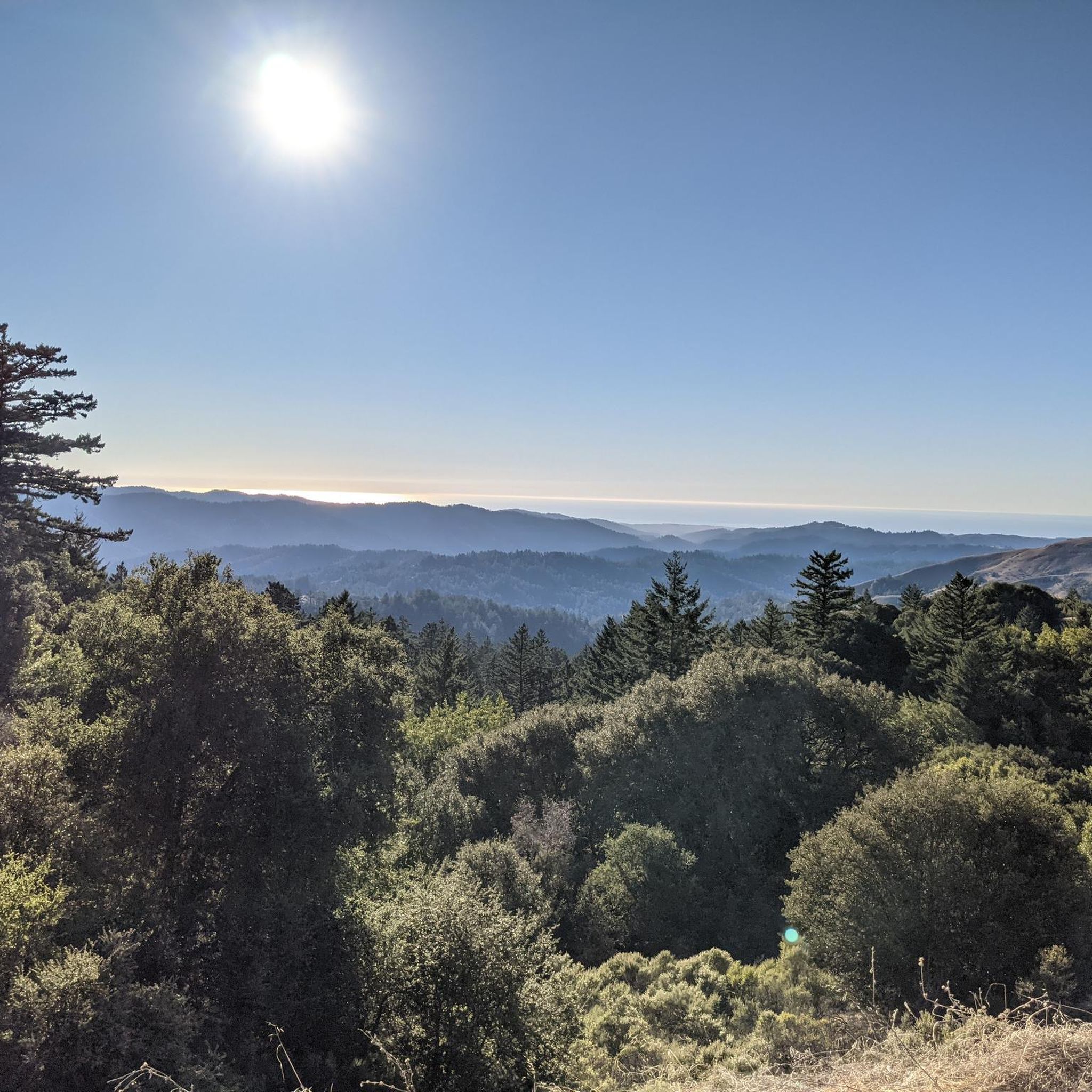
Road Cycling Routes in Skyline Ridge Open Space Preserve (Closed Area)
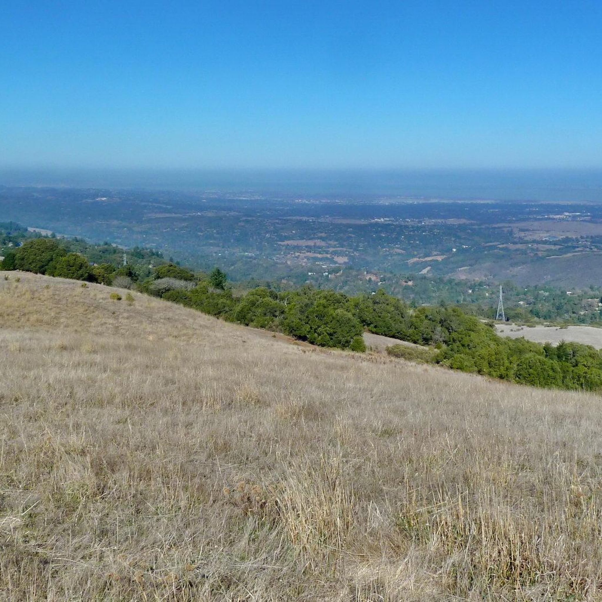
MTB Trails in Skyline Ridge Open Space Preserve (Closed Area)
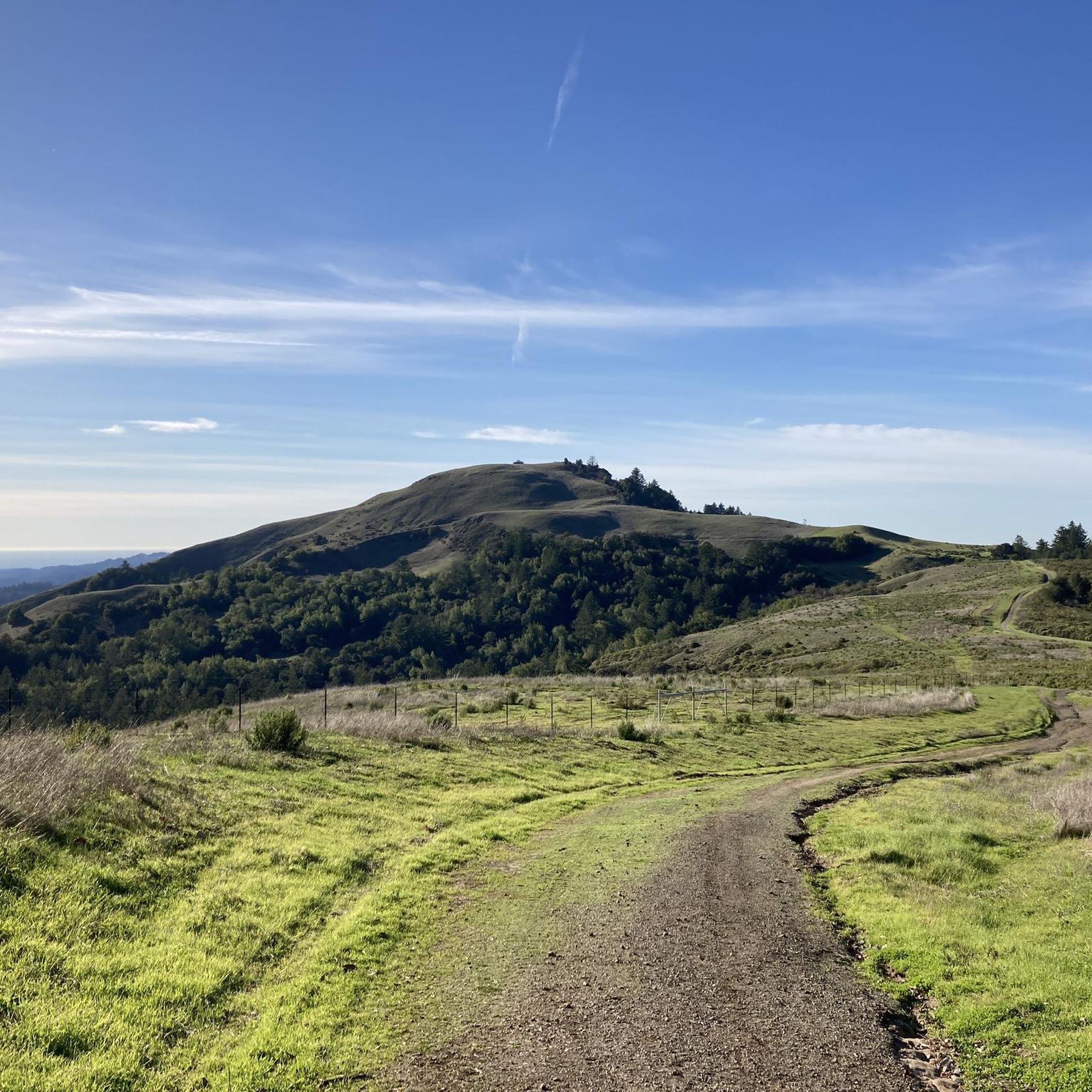
Cycling in Skyline Ridge Open Space Preserve (Closed Area)
Gravel biking in Skyline Ridge Open Space Preserve (Closed Area)
Tips from the Community

From up here on the ridge you get great sweeping views across the foothills. On a clear day you can see out west to the Pacific Ocean.
0
0

Borel Hill is my favorite place to watch spring flowers. The western slope near ancient oaks (5-10min west of Borel Hill) are covered with orange California Poppies and purple flowers starting in April. Borel Hill itself peaks around mid May and has a wide variety of flowers. The show lasts only a few weeks until end of May. The peak time and flower intensity varies from year to year, so come several times between April and May. There is small summit NW of Borel Hill and a narrow dirt trail leads you to a rock within 2 min. The rock is big enough for 2-3 to sit on. On a sunny day, the rock is nice warm even if the air is cold. Good views on the ocean and the Bay.
1
0

Russian Ridge is an incredible 3,137-acre preserve that boasts a rich diversity of plants and wildlife, steep forested canyons, and grasslands, with abundant wildflowers in the spring. The open ridge tops provide breathtaking panoramic views of the Santa Cruz Mountains, the Bay Area, and the Pacific Ocean, making it one of the most scenic preserves in the area to enjoy a picturesque ride.
0
0

The top of Borel Hill has an elevation of 2,572 feet and offers panoramic views of the city below as well as views of the ocean in the distance.
0
0
This trail is an idyllic path to the summit, with a host of wildlife and meadows full of wildflowers, cattle grazing in the distance, and hawks and falcons flying overhead. The route is mainly exposed; however, there is an area with pine trees and ancient oaks for a nice break in the shade on a hot day.
0
0
Mindego Hill, with an elevation of 2,143 feet, is an excellent spot to take in the gorgeous panoramic views of Russian Ridge Open Space Preserve, Mindego Lake, San Gregorio Creek Valley and the Pacific Ocean. The forests, ridgelines and beautiful meadows full of wildflowers will make you want to spend a reasonable amount of time taking in the natural beauty of what surrounds you.
0
0
This trail offers a fantastic combination of sweeping vista views, grassy hillsides, and gorgeous oak trees covered in moss. The path connects to the Mindego Trail and Charquin Trail for a nice 3.5-mile loop if you wish. There are regular deer sightings along this route and many different bird species to look for. The wildflowers are in full bloom in the spring, adding to an already pleasurable hike through the preserve.
0
0
Borel Hill is the highest point in the preserve at 2,575 feet (784 meters), with panoramic views of the Pacific Ocean to the west and across the San Francisco Bay to the east. In the spring, beautiful wildflowers are abundant. On a clear day, you can see all the way from San Jose to San Francisco. The vast scenery makes you feel on top of the world and is an excellent place to capture memorable photos.
1
0
Frequently Asked Questions
Is Skyline Ridge Open Space Preserve actually closed?
No, the preserve is open to the public daily from a half-hour before sunrise to a half-hour after sunset. The 'Closed Area' in the name can be confusing, but it doesn't mean the entire preserve is inaccessible. Specific trails may have temporary closures for maintenance or habitat protection, so it's always a good idea to check the Midpeninsula Regional Open Space District's website for current trail status before you go.
Are dogs allowed on the trails at Skyline Ridge?
Dogs are generally not permitted in most of the Skyline Ridge Open Space Preserve to protect the sensitive wildlife and habitats. However, they are allowed on-leash on the paved trail around Alpine Pond and on the designated section of the Bay Area Ridge Trail. Always check the official Midpeninsula Regional Open Space District guidelines for the most up-to-date regulations.
Are there any easy, family-friendly hikes?
Yes, the area around Alpine Pond and Horseshoe Lake is perfect for a family outing. The trails here are generally flat and paved, making them accessible for strollers and wheelchairs. The Ancient Oaks Trail loop from La Honda is another great option, offering a relatively short and easy walk through a beautiful shaded forest.
What kind of wildlife might I see at Skyline Ridge?
The preserve is a haven for wildlife. It's common to see deer, coyotes, and bobcats, especially during the early morning or late afternoon. The ponds are excellent spots for birdwatching, attracting various waterfowl and migrating birds. The diverse habitats support a wide range of flora and fauna, so keep your eyes open as you hike.
Where can I find the best views?
For expansive views, the Ipiwa Trail is a top choice. As part of the Bay Area Ridge Trail, it offers impressive vistas of the Lambert Creek watershed and Butano Ridge. On a clear day, you can even catch a glimpse of the Pacific Ocean. Many of the ridge-top trails provide stunning panoramas of the Santa Cruz Mountains.
How many hiking trails are in the preserve?
There are over 120 hiking routes to explore in and around the Skyline Ridge Open Space Preserve. The network includes more than 12 miles of official trails within the preserve itself, ranging from wide ranch roads to narrow single-track paths, catering to all difficulty levels.
Are there any circular walks available?
Yes, many of the popular hikes are loops. The Horseshoe Lake via Ipiwa & Sunny Jim Trail loop is a fantastic circular route that combines ridge-top views with a walk around the lake. For a longer challenge, the Borel Hill & Mindego Hill Windmill via Ridge & Ancient Oaks Trail loop in the adjacent Russian Ridge preserve is another excellent choice.
How does Skyline Ridge connect to other nearby preserves?
Skyline Ridge is part of a larger network of open space preserves. Trails connect it directly to the adjacent Russian Ridge Open Space Preserve. From there, you can also access Long Ridge Open Space Preserve. These connections allow for longer, more varied hikes across different landscapes.
What do other hikers think of the trails here?
The trails in this area are highly regarded by the komoot community, with an average rating of 4.6 stars. Hikers frequently praise the stunning ridge-top vistas, the serene lakeside paths, and the well-maintained trail network that offers a great mix of sun and shade.
Is there parking available at the trailheads?
Yes, there are parking lots available for visitors. The main lot is located off Skyline Boulevard (Highway 35) near Alpine Pond and the Daniels Nature Center. A second lot is located across the street at the Russian Ridge Open Space Preserve. These lots can fill up quickly, especially on weekends, so arriving early is recommended.
Are there any hikes that go to Mindego Hill?
Yes, while the summit itself is in the adjacent Russian Ridge Open Space Preserve, it's a very popular destination accessible from the area. The Mindego Hill Trail is a rewarding moderate hike through grasslands and oak woodlands that leads to fantastic panoramic views from the top.
Most popular routes in Skyline Ridge Open Space Preserve (Closed Area)

Get inspired with the komoot mobile app


Explore more
Browse the best Hikes in other regions.
