The best cycling routes in Dry Creek Pioneer Regional Park
4.4
(61)
1,006
riders
83
rides
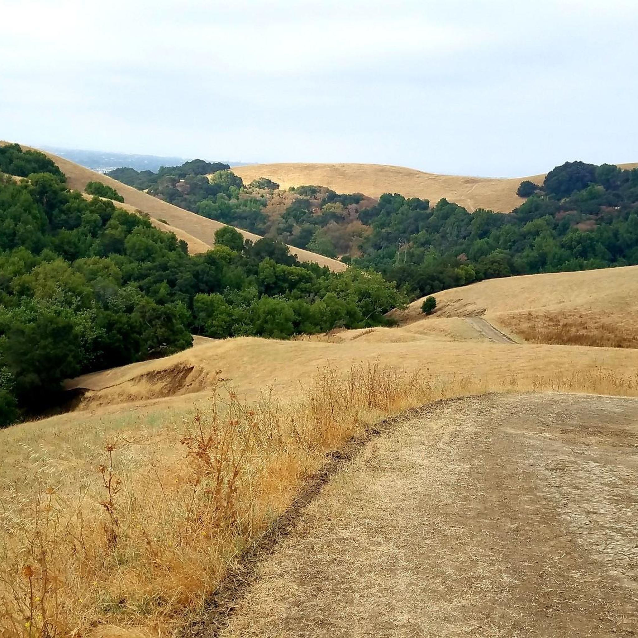
Touring cycling in Dry Creek Pioneer Regional Park offers a diverse landscape for riders. The region features a mix of rolling hills, such as those found along the High Ridge trails, and expansive flat paths near waterways like Alameda Creek and the Bayview Trail. Cyclists can expect routes that traverse open parklands and provide scenic views of the surrounding natural environment. The terrain is generally accessible, with options ranging from gentle creek-side rides to more elevated routes offering panoramic vistas.
…Last updated: July 9, 2026
5.0
(2)
12
riders
Moderate bike ride. Good fitness required. Mostly paved surfaces. Suitable for all skill levels.
5.0
(10)
96
riders
Moderate bike ride. Good fitness required. Mostly paved surfaces. Suitable for all skill levels.

Sign up for free
5.0
(5)
52
riders
Easy bike ride. Great for any fitness level. Mostly paved surfaces. Suitable for all skill levels.
5.0
(2)
39
riders
Easy bike ride. Great for any fitness level. Mostly paved surfaces. Suitable for all skill levels.
15
riders
Easy bike ride. Great for any fitness level. Mostly paved surfaces. Suitable for all skill levels.
Get access to more routes and recommendations from other explorers.
Sign up for free
Already have an account?
Our route recommendations are based on thousands of hikes, rides, and runs completed by other people on komoot.
Start today with a free account
Your next adventure awaits.
Login or Signup
Tips from the Community

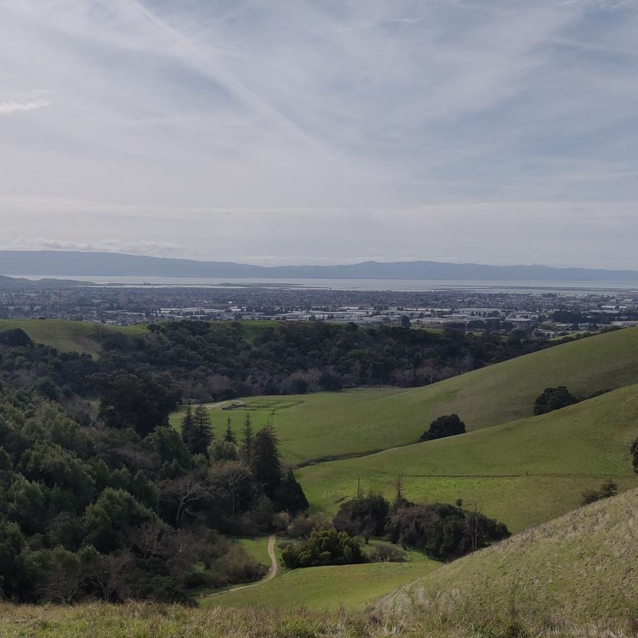
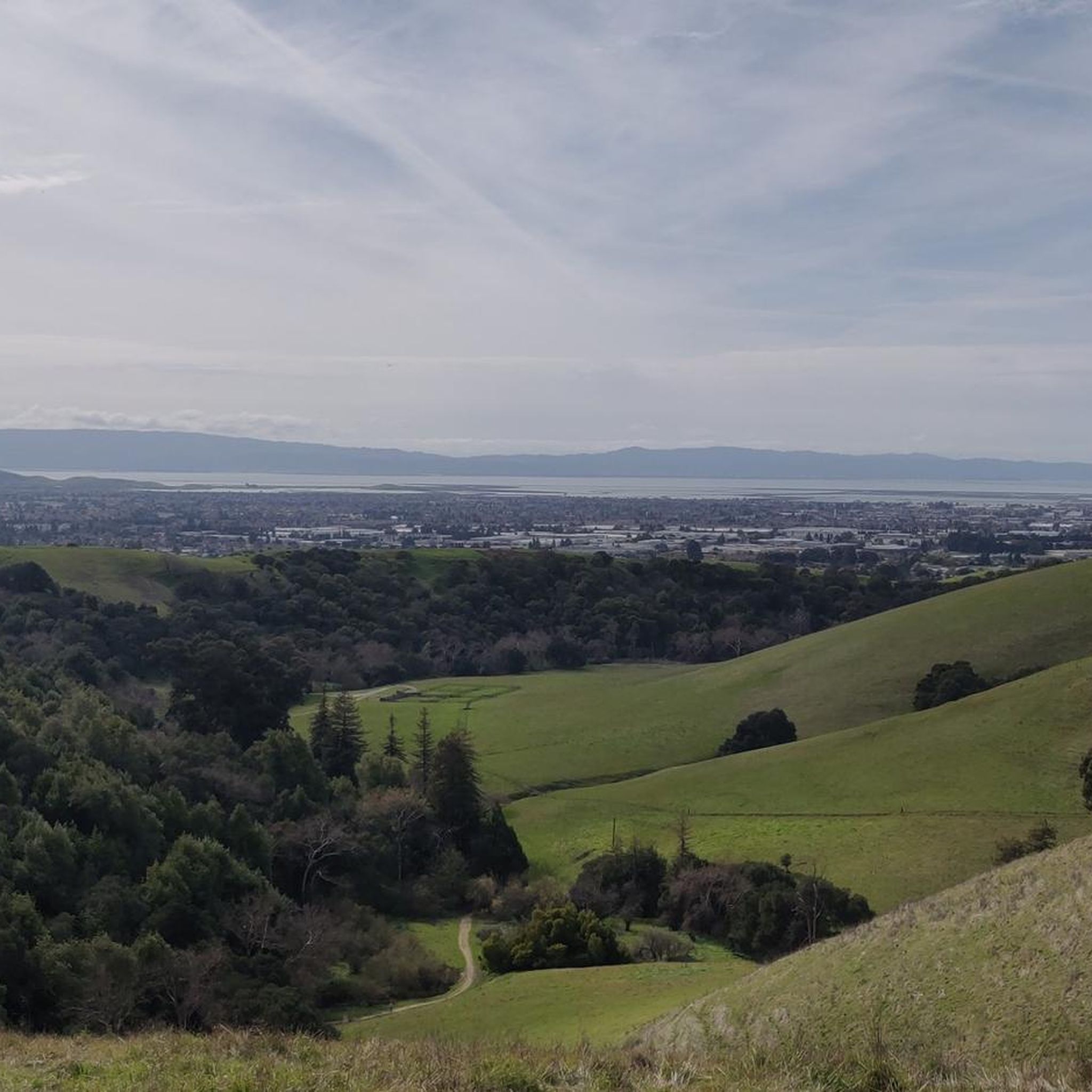
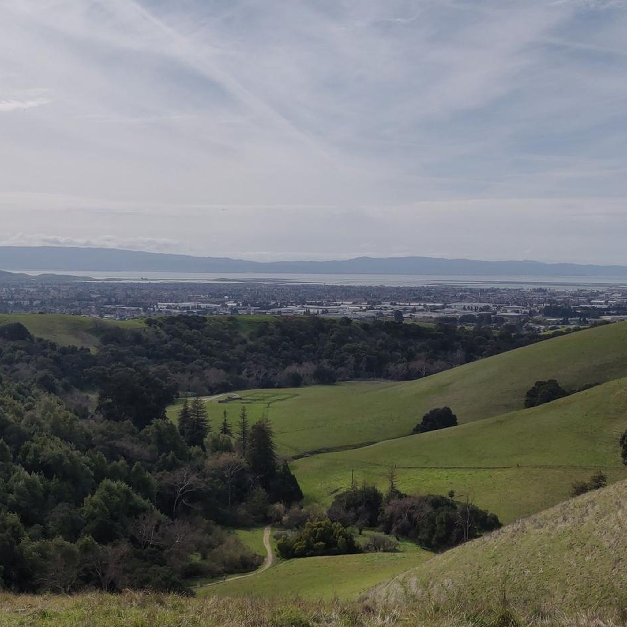
On a clear day you can see all the way across the bay, past the San Mateo-Hayward Bridge.
0
0
From here you can see out over Alvarado to San Francisco Bay. The hills of Dry Creek Park roll out away from you toward the water.
0
0

Part of the Quarry Lakes Regional Recreation Area, Horseshoe Lake is one of the biggest lakes of the area. Enjoy a quick swim here or a picnic lunch at one of the nearby picnic tables.
0
0

Part of the Quarry Lakes Regional Recreation Area, Horseshoe Lake is one of the biggest lakes of the area. Enjoy a quick swim here or a picnic lunch at one of the nearby picnic tables.
0
0

The Alameda Creek Trail runs from the mouth of Niles Canyon westward to San Francisco Bay. The trail is fully paved and is popular with hikers, runners and cyclists.
1
0

The perfect spot for a break! No shade here, but there is a bench, an informational panel, and a wooden observation deck. The views over the marshland here and the bay are pretty amazing.
0
0

The Bayview Trail is an excellent route to explore year round. As you ride along the trail you can enjoy the hills to the easy and the famous San Francisco Bay to the west.
0
0

After a short climb from the Red Hill Trailhead, enjoy a beautiful view of the surrounding area and the bay. From here, you can backtrack to continue onto the Red Hill Trail, or continue along the shore of the bay on Bayview Trail.
1
1
Frequently Asked Questions
How many touring cycling routes are available in Dry Creek Pioneer Regional Park?
There are over 80 touring cycling routes in Dry Creek Pioneer Regional Park, offering a diverse range of experiences for cyclists of all levels.
Are there easy touring cycling routes suitable for beginners or families?
Yes, Dry Creek Pioneer Regional Park features 31 easy touring cycling routes. A great option for a relaxed ride is the Bayview Trail Observation Deck – Coyote Hills Regional Park loop from Union City, which is 15.9 miles long and generally flat, following scenic regional park landscapes.
What kind of terrain can I expect on touring cycling routes in Dry Creek Pioneer Regional Park?
The park offers a varied landscape, including rolling hills, such as those found on the High Ridge trails, and expansive flat paths near waterways like Alameda Creek and the Bayview Trail. You'll find routes traversing open parklands with scenic views of the natural environment.
Are there challenging routes for experienced touring cyclists?
Yes, for more experienced riders, there are 22 difficult touring cycling routes available. These often involve more significant elevation changes and longer distances, providing a good workout and rewarding views.
What do other touring cyclists enjoy most about cycling in Dry Creek Pioneer Regional Park?
The area is highly rated by the komoot community, with an average score of 4.5 stars from over 40 reviews. Cyclists frequently praise the diverse terrain, from rolling hills to peaceful creek-side paths, and the scenic bay views.
Are there any circular touring cycling routes in the park?
Many routes in Dry Creek Pioneer Regional Park are designed as loops, allowing you to start and end at the same point. For example, the popular High Ridge viewpoint – High Ridge Loop Trail loop from Dry Creek Pioneer Regional Park offers elevated views and brings you back to your starting point.
What scenic viewpoints can I find along the cycling routes?
The park offers several scenic viewpoints. You can enjoy panoramic vistas from areas like Gossip Rock or experience the expansive View of San Francisco Bay from Dry Creek Pioneer Regional Park. Routes like the High Ridge viewpoint – High Ridge Loop Trail loop are specifically known for their elevated views.
What nearby attractions or landmarks can I explore while cycling?
Beyond the trails, you can visit the Ukraina Historical Landmark for a touch of history, or challenge yourself to reach Tolman Peak for elevated perspectives. These points of interest are often accessible from or near the cycling routes.
Is there parking available for cyclists at Dry Creek Pioneer Regional Park?
Yes, Dry Creek Pioneer Regional Park provides designated parking areas for visitors. Specific parking availability can vary by trailhead, so it's advisable to check the park's official website or signage upon arrival for the most current information.
Can I reach Dry Creek Pioneer Regional Park by public transport with my bike?
Public transport options to Dry Creek Pioneer Regional Park are limited, but some local bus services may operate near the park boundaries. Cyclists often combine public transport with cycling by using services that allow bikes, then riding the final distance to the park. Check AC Transit schedules for routes serving the Fremont/Union City area.
What is the best time of year to go touring cycling in Dry Creek Pioneer Regional Park?
Spring and fall generally offer the most pleasant cycling conditions with mild temperatures and less chance of extreme heat or heavy rain. Summer can be warm, especially in the afternoon, while winter can bring cooler, wetter weather. Always check the local forecast before heading out.
What kind of wildlife might I encounter on the trails?
Dry Creek Pioneer Regional Park is home to various wildlife. Cyclists might spot deer, rabbits, and a variety of bird species, especially near the Alameda Creek and Bayview Trail sections. Keep an eye out for raptors soaring overhead and smaller creatures in the brush. Remember to observe wildlife from a distance and never feed animals.
Most popular routes in Dry Creek Pioneer Regional Park
Most popular attractions in Dry Creek Pioneer Regional Park

Get inspired with the komoot mobile app


Explore more
Browse the best Cycling routes in other regions.
