Pleasanton Ridge Regional Park Restricted Area
Pleasanton Ridge Regional Park Restricted Area
The best cycling routes in Pleasanton Ridge Regional Park Restricted Area
4.7
(71)
1,441
riders
123
rides
Touring cycling routes in Pleasanton Ridge Regional Park Restricted Area traverse a landscape characterized by oak-studded ridges, rolling hills, and expansive grasslands. The park features mixed woodlands and riparian corridors along streams, offering varied terrain for cyclists. Elevations within the park provide ridgetop panoramas of the city of Pleasanton and the Livermore Valley. The extensive multi-use trail system includes dirt roads suitable for touring cycling, with options ranging from moderate paths to challenging climbs.
Best touring cycling routes in Pleasanton…
Last updated: May 28, 2026
9
riders
Moderate bike ride. Good fitness required. Mostly paved surfaces. Suitable for all skill levels.
6
riders
55.3km
03:22
410m
410m
Moderate bike ride. Good fitness required. Mostly paved surfaces. Suitable for all skill levels.

Sign up for free
5
riders
25.8km
01:35
240m
240m
Moderate bike ride. Good fitness required. Mostly paved surfaces. Suitable for all skill levels.
6
riders
Moderate bike ride. Good fitness required. Mostly paved surfaces. Suitable for all skill levels.
2
riders
10.6km
00:37
40m
40m
Easy bike ride. Great for any fitness level. Mostly paved surfaces. Suitable for all skill levels.
Get access to more routes and recommendations from other explorers.
Sign up for free
Already have an account?
Our route recommendations are based on thousands of hikes, rides, and runs completed by other people on komoot.
Start today with a free account
Your next adventure awaits.
Login or Signup
Popular around Pleasanton Ridge Regional Park Restricted Area
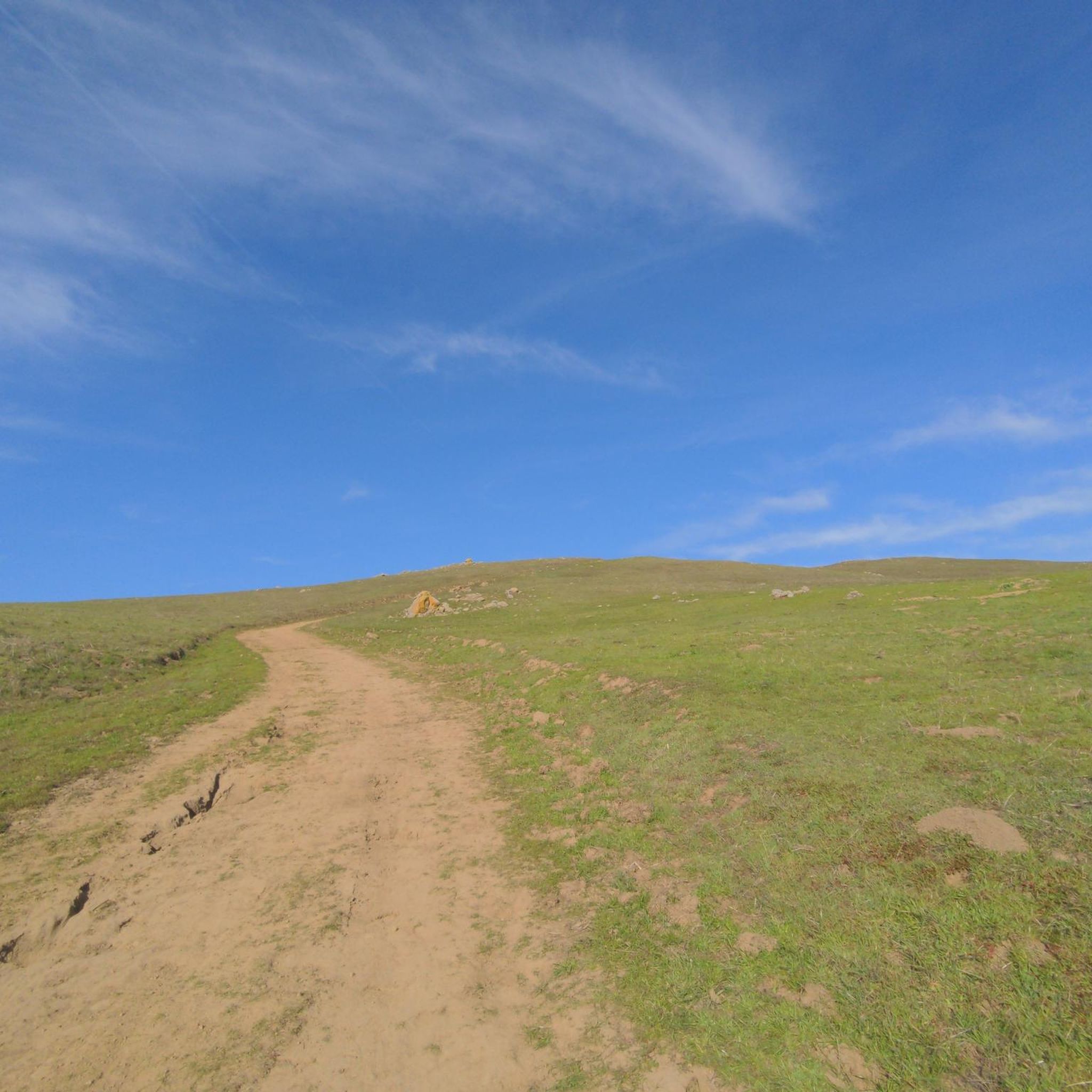
Hiking in Pleasanton Ridge Regional Park Restricted Area
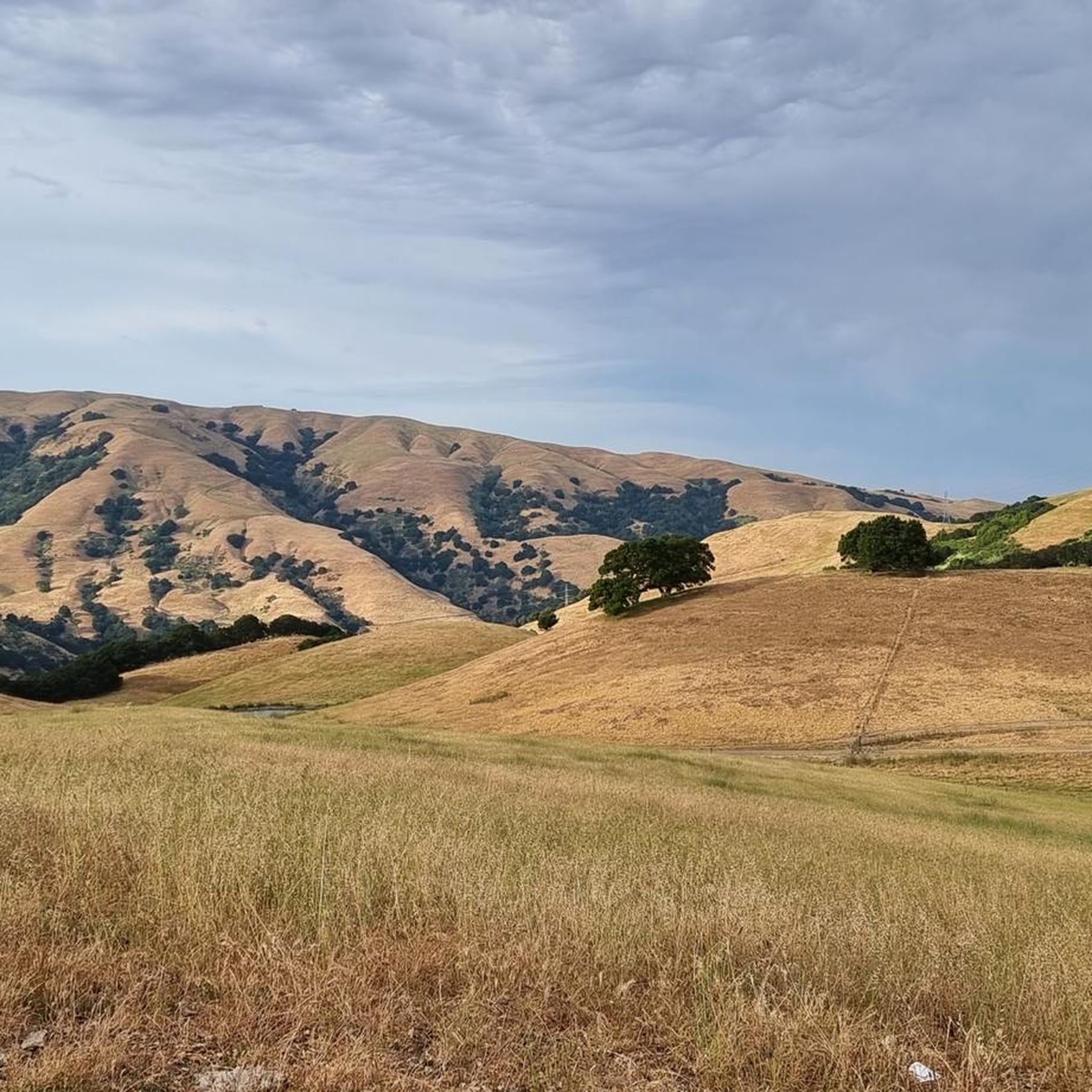
Running Trails in Pleasanton Ridge Regional Park Restricted Area
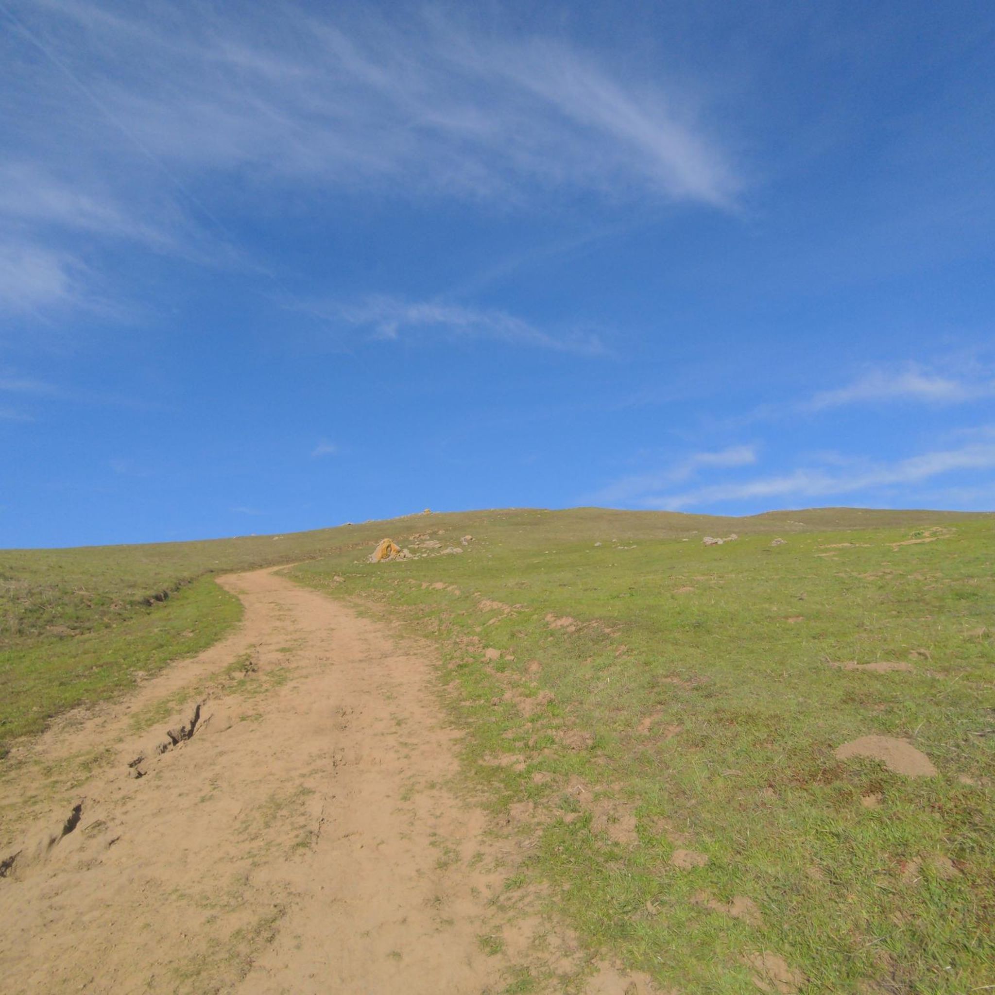
Road Cycling Routes in Pleasanton Ridge Regional Park Restricted Area
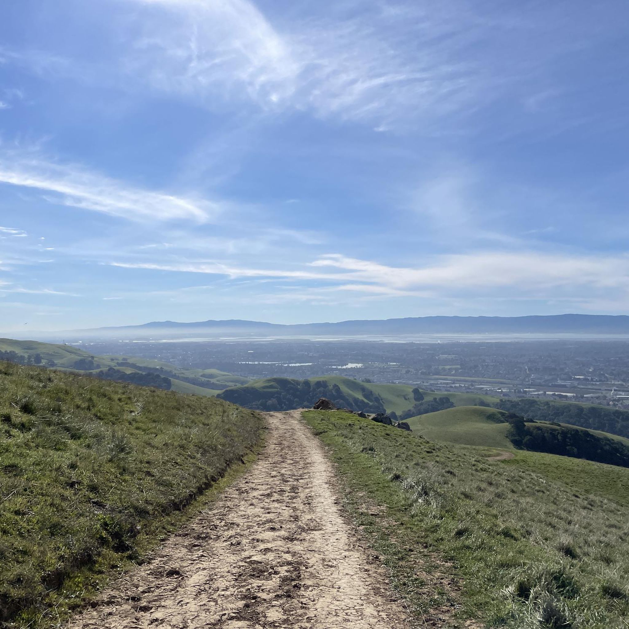
MTB Trails in Pleasanton Ridge Regional Park Restricted Area
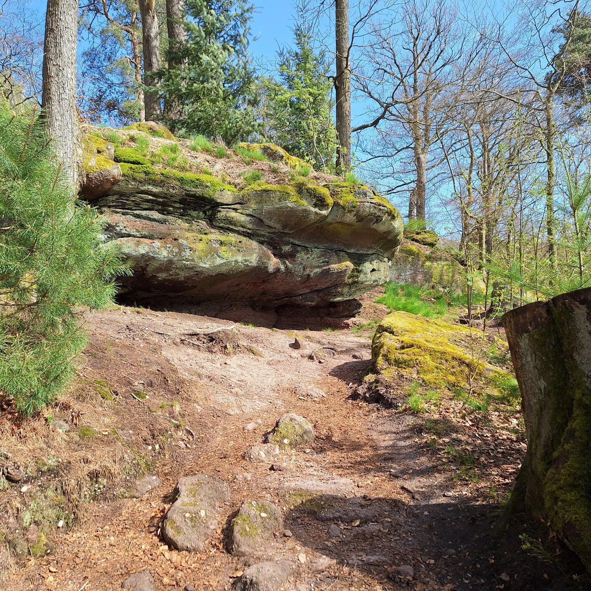
Gravel biking in Pleasanton Ridge Regional Park Restricted Area
Tips from the Community

This trail is a fantastic wide path perfect for both climbing and descending. There are a few steep sections if you want to go uphill, but if you decide to ride back down, your reward is a fluid downhill ride. Climbing is manageable if you're in good shape, but don't be discouraged if you need to walk some parts, it's worth it! This is also a popular spot for hikers, so keep an eye out for others also enjoying the trail.
0
0

This is a nice stretch of road that follows along the path of Alameda Creek as it cuts through the foothills.
0
0

Paved trail suitable for cycling through Sycamore Grove Park. Runs from the main entrance on Wetmore Road to Arroyo Road - though there appears to be no exit into the road. The trail continues into Veterans Park.
0
0
There is a paved foot & bike path that runs straight through the park to Arroyo Road, though I am not sure if it actually has an exit onto the road. It continues further into Veterans Park. Of the gravel trails some are closed to bikes for nature preservation reasons. Others allow for a (mostly) easy gravel ride.
0
0

The Iron Horse Trail, open from 5 a.m. to 10 p.m., stretches 32 miles between Concord and Pleasanton, following the former Southern Pacific Railroad. The latest segment, connecting Pleasanton/Dublin BART to Santa Rita Road, opened in 2014 after nearly 30 years of planning. This multi-use trail links residential areas, schools, parks, and public transportation, providing a trail to the local community. This paved trail crosses roads but is a safe way of getting around away from traffic.
0
0

The Sunol Depot houses the Niles Canyon Railway, a museum that showcases the role of the railroad in the development of California, as well as the United States.
0
0
Pleasanton Ridge Regional Park spans 9,090 acres and overlooks Pleasanton and the Livermore Valley. The park features an extensive multi-use trail system that offers magnificent views of the surrounding canyons and panoramic vistas from the ridgetop.
0
0
The trail runs through the great neighborhood of Southern San Ramon and crosses the bridge over Coyote Creek.
1
0
Frequently Asked Questions
How many touring cycling routes are available in Pleasanton Ridge Regional Park?
Pleasanton Ridge Regional Park features over 130 touring cycling routes, offering a wide variety of options for different skill levels and preferences. The komoot community has highly rated these routes, with an average score of 4.7 stars.
What kind of terrain can I expect on touring cycling routes in Pleasanton Ridge Regional Park?
The park offers diverse terrain, including oak-studded ridges, rolling hills, and expansive grasslands. You'll find mixed woodlands and riparian corridors along streams. Many trails are dirt roads, ideal for touring cycling, ranging from moderate paths to challenging climbs on fire roads. Elevations can exceed 1,600 feet, providing dynamic and scenic backdrops.
Are there any challenging touring cycling routes for experienced riders?
Yes, experienced touring cyclists can find challenging routes with significant climbs. For example, the Palomares Road Loop is a difficult 29.2-mile (46.9 km) route with over 1,900 feet (579 m) of elevation gain. The park also features challenging steep fire roads, such as those leading to the ridge top from the Foothill Road parking lot, which include a sustained 1,300-foot climb.
Are there any easier touring cycling routes suitable for beginners or casual rides?
Yes, the park offers easier options for beginners or those seeking a more relaxed ride. An example is the Coyote Creek bridge – Iron Horse Trail loop from Dublin, an easy 6.6-mile (10.6 km) route with minimal elevation gain, making it suitable for a casual outing.
What are some notable landmarks or viewpoints I can see while cycling?
While cycling, you can enjoy ridgetop panoramas of the city of Pleasanton and the Livermore Valley. The park also preserves historic agricultural remnants, such as olive orchards planted between 1890 and the 1920s, and remnants of former apricot, cherry, prune, and almond orchards, as well as vineyards from the early 20th century. Deep canyons, like Kilkare Canyon at the northern end, offer a sense of remoteness.
Are there family-friendly touring cycling options in the park?
While many trails involve climbs, some of the easier dirt roads can be suitable for families, depending on the children's cycling experience. The park's extensive multi-use trail system allows for varied experiences, but it's advisable to check specific route details for elevation and distance to ensure it matches your family's ability.
Can I bring my dog on the touring cycling trails?
Pleasanton Ridge Regional Park is generally dog-friendly, but specific rules regarding leashes and trail access may apply. It's always best to check the East Bay Regional Park District's official guidelines for the most current information on bringing dogs on trails, especially when cycling.
Are there circular touring cycling routes available?
Yes, many touring cycling routes in Pleasanton Ridge Regional Park are designed as loops, allowing you to start and end at the same point. An example is the Sunol Depot – Calaveras Road loop from Sunol, a moderate 16.0-mile (25.8 km) path that offers a mix of roads and climbs.
What are the parking options for accessing the touring cycling trails?
The park provides various access points with parking. A common starting point is the Foothill Road parking lot, which offers direct access to trails leading up to the ridge top. It's recommended to check the specific trailhead information for your chosen route for the most convenient parking.
Is public transport available to reach Pleasanton Ridge Regional Park?
While the park is primarily accessed by car, some areas might be reachable via public transport connections to nearby towns like Pleasanton or Sunol, followed by a ride to the park entrance. However, direct public transport to trailheads within the park is limited. Planning your route in advance and checking local transit options is advisable.
What is the best time of year to go touring cycling in Pleasanton Ridge Regional Park?
Late winter and early spring are particularly beautiful, as the grasslands burst with wildflowers. The park's varied terrain makes it enjoyable in different seasons, but it's wise to consider weather conditions, especially during hotter summer months or potentially wet winter periods, as trail conditions can change.
What amenities are available for cyclists within Pleasanton Ridge Regional Park?
The park offers amenities beneficial for cyclists, including picnic tables along the ridgeline for scenic breaks and drinking water available at various points throughout the park. These facilities are helpful for longer cycling tours.
What do other touring cyclists say about their experience in Pleasanton Ridge Regional Park?
The touring cycling routes in Pleasanton Ridge Regional Park are highly rated by the komoot community, with an average score of 4.7 stars from over 60 reviews. Cyclists often praise the diverse scenery, the challenging climbs, and the extensive network of dirt roads and fire roads that provide excellent touring opportunities.
Are there any specific rules or restrictions for cyclists in the park?
Yes, while the park has an extensive multi-use trail system, some narrower single tracks are reserved for hikers or equestrians to ensure safety for all park users. Cyclists are generally directed towards fire roads and designated multi-use trails. Always observe posted signage and park regulations regarding trail use and right-of-way.
Most popular routes in Pleasanton Ridge Regional Park Restricted Area

Get inspired with the komoot mobile app


Explore more
Browse the best Cycling routes in other regions.
