The best running trails in Shadow Cliffs Regional Recreation Area
4.0
(2)
687
runners
135
runs
Jogging in Shadow Cliffs Regional Recreation Area offers a network of trails primarily characterized by routes around Shadow Cliffs Lake and along the Arroyo Mocho and Arroyo Valle Centennial Trails. The terrain is generally flat to gently rolling, with minimal elevation changes, making it accessible for various fitness levels. The area provides opportunities for running near water bodies and through natural landscapes within a regional recreation setting.
Best jogging routes in Shadow Cliffs Regional Recreation Area
- The most popular jogging route is View of Shadow Cliffs Lake loop from Pleasanton, a 4.5 miles (7.2 km) trail that takes 48 minutes to complete, offering scenic views of Shadow Cliffs Lake.
- Another top favourite among local runners is Arroyo Valle Centennial Trail – Arroyo Mocho Trail loop from Pleasanton, a difficult 9.7 miles (15.7 km) path. This route combines two significant trails, providing a longer running experience through the area's natural corridors.
- Local runners also love the Arroyo Mocho Trail loop from Livermore Municipal Airport, a 10.2 miles (16.4 km) trail leading through the Arroyo Mocho area, often completed in about 1 hour 42 minutes.
- Jogging in Shadow Cliffs Regional Recreation Area is defined by lake views, established trails along arroyos, and accessible paths, with options for both easy and more advanced running routes.
- The routes in Shadow Cliffs Regional Recreation Area are highly rated by the komoot community with an average score of 4.0 stars from more than 1 review. More than 600 runners have used komoot to explore Shadow Cliffs Regional Recreation Area's varied terrain.
Last updated: August 18, 2026
8
runners
Moderate run. Good fitness required. Mostly paved surfaces. Suitable for all skill levels.
9
runners
7.16km
00:48
40m
40m
Moderate run. Good fitness required. Mostly paved surfaces. Suitable for all skill levels.

Sign up for free
4
runners
Moderate run. Good fitness required. Mostly paved surfaces. Suitable for all skill levels.
3
runners
Hard run. Very good fitness required. Mostly paved surfaces. Suitable for all skill levels.
7
runners
16.4km
01:42
40m
40m
Hard run. Very good fitness required. Mostly paved surfaces. Suitable for all skill levels.
Get access to more routes and recommendations from other explorers.
Sign up for free
Already have an account?
Our route recommendations are based on thousands of hikes, rides, and runs completed by other people on komoot.
Start today with a free account
Your next adventure awaits.
Login or Signup
Popular around Shadow Cliffs Regional Recreation Area
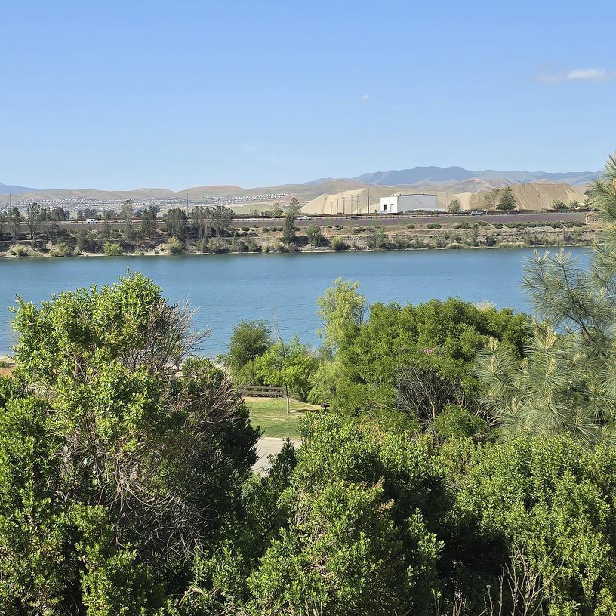
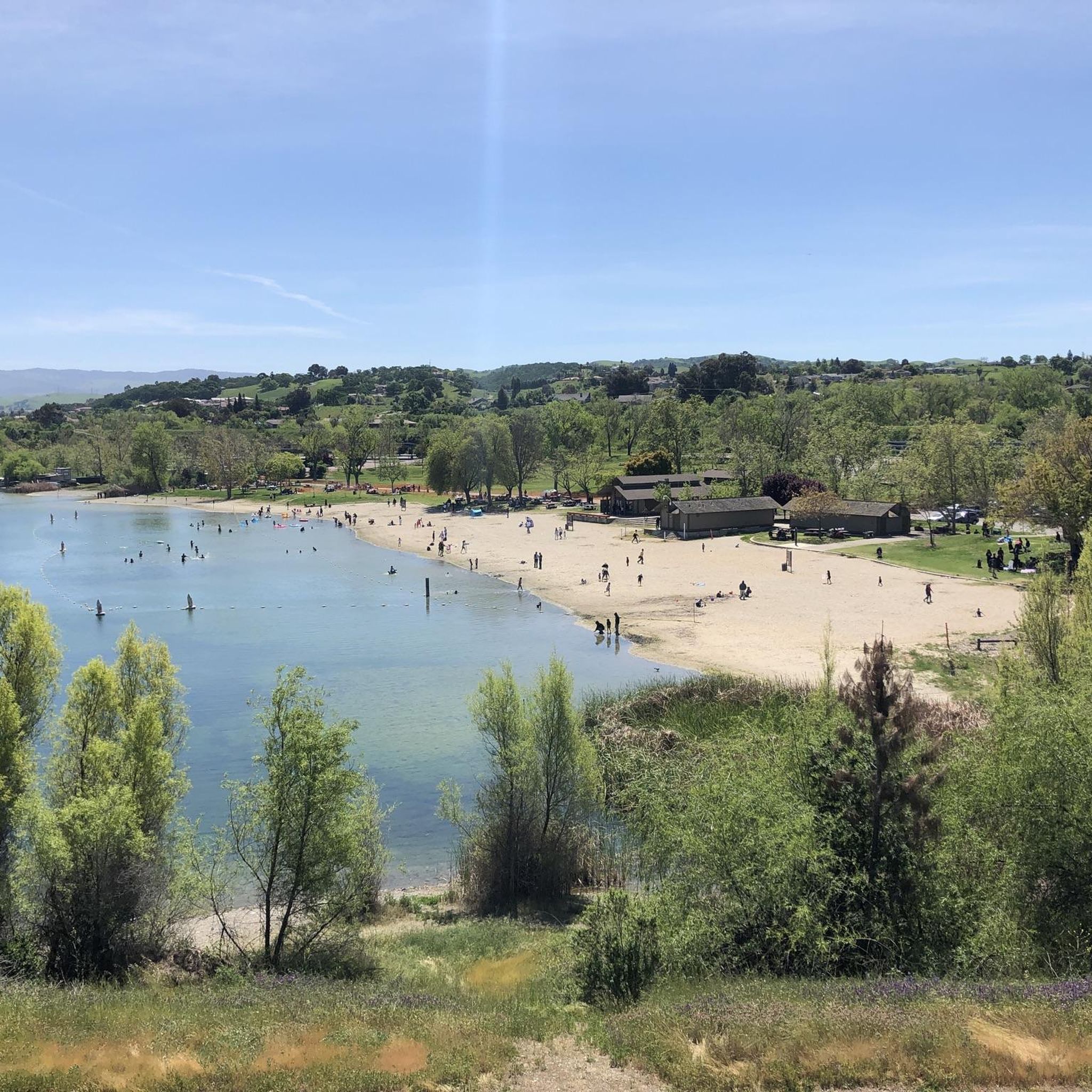
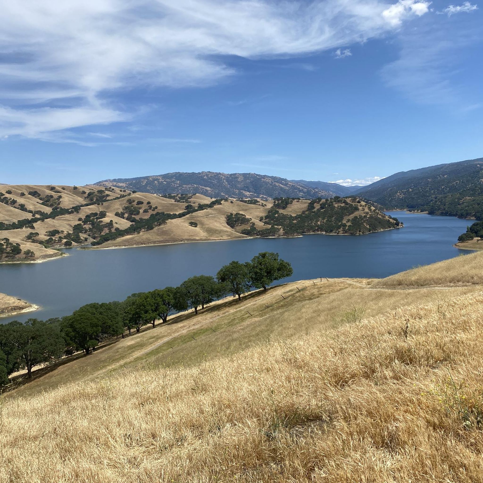
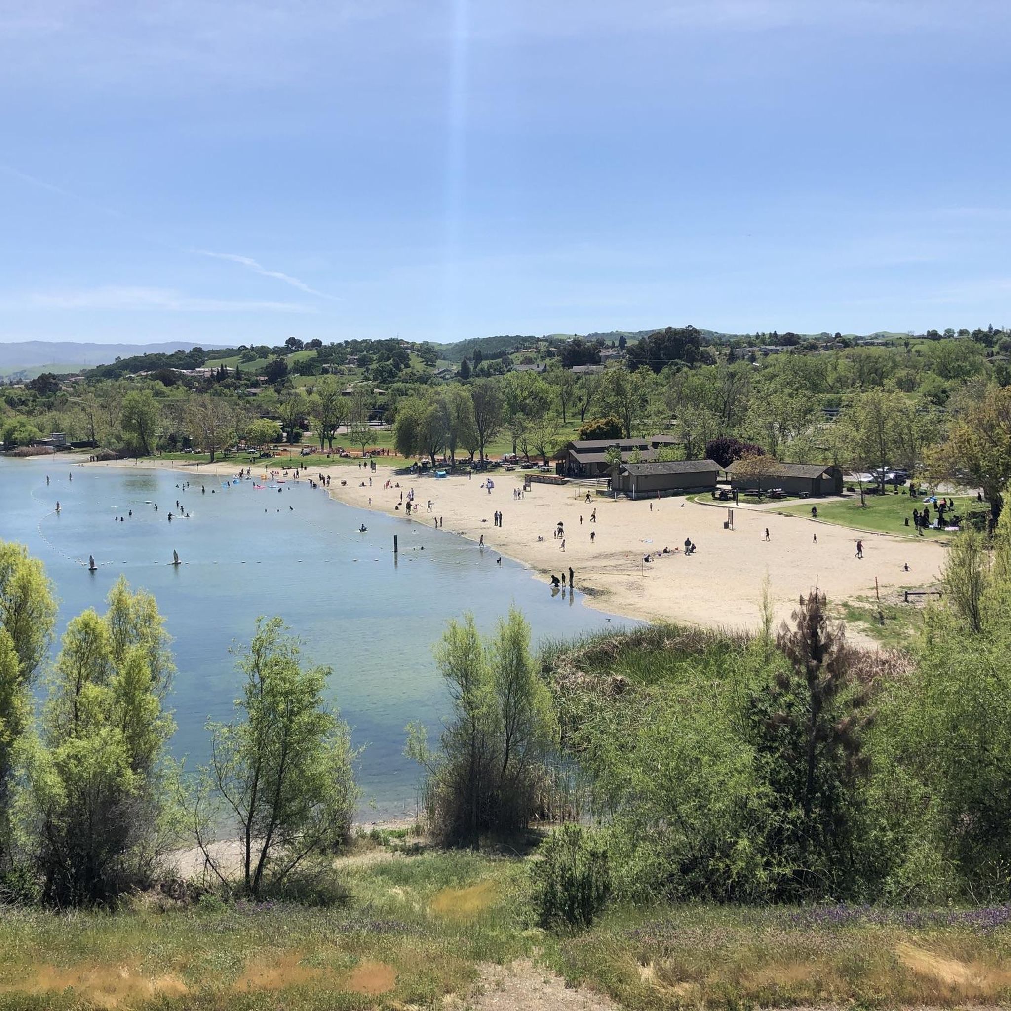

Tips from the Community

Very pleasant creekside dedicated bike trail. Well paved and flat, it connects with Iron Horse Trail and its wider trail system.
1
0

The Arroyo Mocho Trail is a popular walking, running and biking trail that runs through Livermore. It is mostly paved, but has a couple of gravel sections. The trail links up with some of the other trails in the area.
0
0
Excellent smooth gravel trail in nature without car traffic, flat, along a canal.
2
0
The North-South Iron Horse trail offers excellent options for loops via east-west trails, like here the Arroyo Mocho Trail running east to Livermore, where for example the return loop can be closed via the Arroyo Valle a little further south, though the trail there is more often interrupted but can be followed with occasional sections on paved neighborhood streets.
0
0
Excellent car-free trail linking up to the Iron Horse Trail along a former railway line, well paved and marked from Dublin to Concord.
0
0
Well-paved dedictated bike trail along Arroyo de la Laguna canal
0
0
Frequently Asked Questions
How many running routes are available in Shadow Cliffs Regional Recreation Area?
There are over 120 running routes documented in Shadow Cliffs Regional Recreation Area on komoot. These routes cater to various preferences, from easy jogs around the lake to more challenging long-distance runs along the arroyos.
What are the difficulty levels of running routes in Shadow Cliffs Regional Recreation Area?
The routes in Shadow Cliffs Regional Recreation Area range from easy to difficult. You'll find 15 easy routes, 92 moderate routes, and 22 difficult routes, ensuring options for all fitness levels. The terrain is generally flat to gently rolling.
Are there any family-friendly running paths in Shadow Cliffs Regional Recreation Area?
Yes, many of the easier and moderate routes are suitable for families. The generally flat terrain around Shadow Cliffs Lake is particularly good for a relaxed family jog. Look for routes with minimal elevation gain for the most family-friendly experience.
Can I bring my dog on the jogging trails in Shadow Cliffs Regional Recreation Area?
Shadow Cliffs Regional Recreation Area is generally dog-friendly, but specific rules may apply to certain areas or trails. It's always best to keep your dog on a leash and ensure you clean up after them. Check the official park regulations for any specific restrictions.
Are there any circular running routes in Shadow Cliffs Regional Recreation Area?
Yes, many of the popular running routes in the area are circular. For example, the View of Shadow Cliffs Lake loop from Pleasanton is a popular 4.5-mile loop offering scenic views. Other longer loops combine sections of the Arroyo Valle Centennial Trail and Arroyo Mocho Trail.
What kind of views can I expect on the running routes?
Runners can enjoy scenic views of Shadow Cliffs Lake, especially on routes that circle the water body. Many trails also follow the natural corridors of the Arroyo Mocho and Arroyo Valle, offering pleasant natural landscapes and riparian habitats.
Is there parking available for the jogging trails?
Yes, parking is available at various access points for Shadow Cliffs Regional Recreation Area. The main entrance typically offers ample parking. It's advisable to check the park's official website for specific parking lot locations and any potential fees.
Can I reach Shadow Cliffs Regional Recreation Area by public transport?
While direct public transport options might be limited, you can often reach the vicinity of Shadow Cliffs Regional Recreation Area using local bus services. From nearby towns like Pleasanton or Livermore, you might need to combine a bus ride with a short walk or taxi to reach the park entrance. Check local transit schedules for the most up-to-date information.
What is the best time of year to go running in Shadow Cliffs Regional Recreation Area?
Spring and fall generally offer the most pleasant running conditions with mild temperatures. Summer can be hot, so early morning or late afternoon runs are recommended. Winter running is also possible, but trails might be muddy after rain, and cooler temperatures require appropriate layering.
Are there any long-distance running options in the area?
Absolutely. For those looking for longer runs, routes like the Arroyo Valle Centennial Trail – Arroyo Mocho Trail loop from Pleasanton offer a challenging 9.7-mile experience. Another option is the Arroyo Mocho Trail loop from Livermore Municipal Airport, which spans over 10 miles.
What do other runners enjoy most about jogging in Shadow Cliffs Regional Recreation Area?
The area is highly rated by the komoot community, with an average score of 4.0 stars. Runners often praise the accessible paths, the scenic lake views, and the variety of terrain that allows for both leisurely jogs and more challenging long-distance training.
Are there any fees or tickets required to enter Shadow Cliffs Regional Recreation Area?
Shadow Cliffs Regional Recreation Area typically has an entrance fee per vehicle. It's best to check the East Bay Regional Park District's official website for the most current information on fees, operating hours, and any specific regulations.
Most popular routes in Shadow Cliffs Regional Recreation Area

Get inspired with the komoot mobile app


Explore more
Browse the best Running Trails & Routes in other regions.
