The best walks and hikes in El Toro Open Space Preserve
4.9
(6)
110
hikers
8
hikes
Hiking in El Toro Open Space Preserve offers access to a landscape characterized by native oak woodlands, expansive grasslands, and seasonal wildflowers. The preserve is dominated by El Toro Mountain, a prominent hill rising 1,420 feet above Morgan Hill. Located within the eastern foothills of the Santa Cruz Mountains, the area provides scenic views across the valley. The terrain includes varied elevations suitable for different hiking experiences.
Best hiking trails in El Toro Open Space Preserve
- The most popular hiking route is Anderson Lake County Park loop from Morgan Hill, a 1.6 miles (2.5 km) trail that takes about 41 minutes to complete. This route features gentle elevation changes near Anderson Lake.
- Another top favourite among local hikers is San Pedro Ave Entrance loop from Hill Rd Entrance, an easy 1.6 miles (2.6 km) path. This trail offers a straightforward walk through the preserve's accessible areas.
- Local hikers also love the Arrowhead Loop Trail — Coyote Valley Open Space Preserve, a 3.9 miles (6.3 km) trail leading through varied terrain with some elevation gain, often completed in about 1 hour 50 minutes.
- Hiking in El Toro Open Space Preserve is defined by oak woodlands, grasslands, and views of the Santa Cruz Mountains. The network offers options for different ability levels, from easy walks to more challenging ascents.
- The routes in El Toro Open Space Preserve are highly rated by the komoot community with an average score of 4.75 stars from 3 reviews. More than 100 hikers have used komoot to explore El Toro Open Space Preserve's varied terrain.
Last updated: June 25, 2026
2
hikers
5.32km
01:21
10m
10m
Easy hike. Great for any fitness level. Easily-accessible paths. Suitable for all skill levels.
2.87km
00:46
20m
30m
Enjoy an easy 1.8-mile hike around Uvas Reservoir County Park, offering scenic views of the reservoir, rolling hills, and oak groves.

Sign up for free
3
hikers
2.04km
00:31
0m
0m
Easy hike. Great for any fitness level. Easily-accessible paths. Suitable for all skill levels.
5
hikers
2.53km
00:41
40m
40m
The Rosendin Pond loop offers a delightful, easy hike through diverse habitats, making it a perfect quick escape. This 1.6-mile (2.5 km) route, with a gentle 129 feet (39 metres) of elevation gain, takes about 41 minutes to complete. You'll wander past the tranquil Rosendin Pond, through oak savanna and grasslands, and enjoy sweeping views of Anderson Reservoir and Mount Hamilton, all while experiencing a surprisingly remote and uncrowded atmosphere. It's an ideal choice for anyone seeking a peaceful, scenic walk without a strenuous climb.
Planning your visit is straightforward; the trail's location at the end of a road through a private HOA contributes to its quiet charm, meaning fewer crowds. While the path is generally easy, expect some muddy sections after rain. Spring is the prime time to visit, when the hills burst with wildflowers and birdwatching is at its peak. Benches are conveniently placed along the way for you to pause and soak in the views.
This trail is a notable spot for birdwatching, attracting a wide variety of species including California Quail, Golden-crowned Sparrows, and even raptors like Golden and Bald Eagles. Rosendin Park, which hosts the loop, is a small, quiet section of Anderson Lake County Park that remains accessible even during seismic retrofitting projects affecting other parts of the larger park, ensuring a consistent, serene experience.
4
hikers
Easy hike. Great for any fitness level. Easily-accessible paths. Suitable for all skill levels.
Get access to more routes and recommendations from other explorers.
Sign up for free
Already have an account?
Our route recommendations are based on thousands of hikes, rides, and runs completed by other people on komoot.
Start today with a free account
Your next adventure awaits.
Login or Signup


Tips from the Community

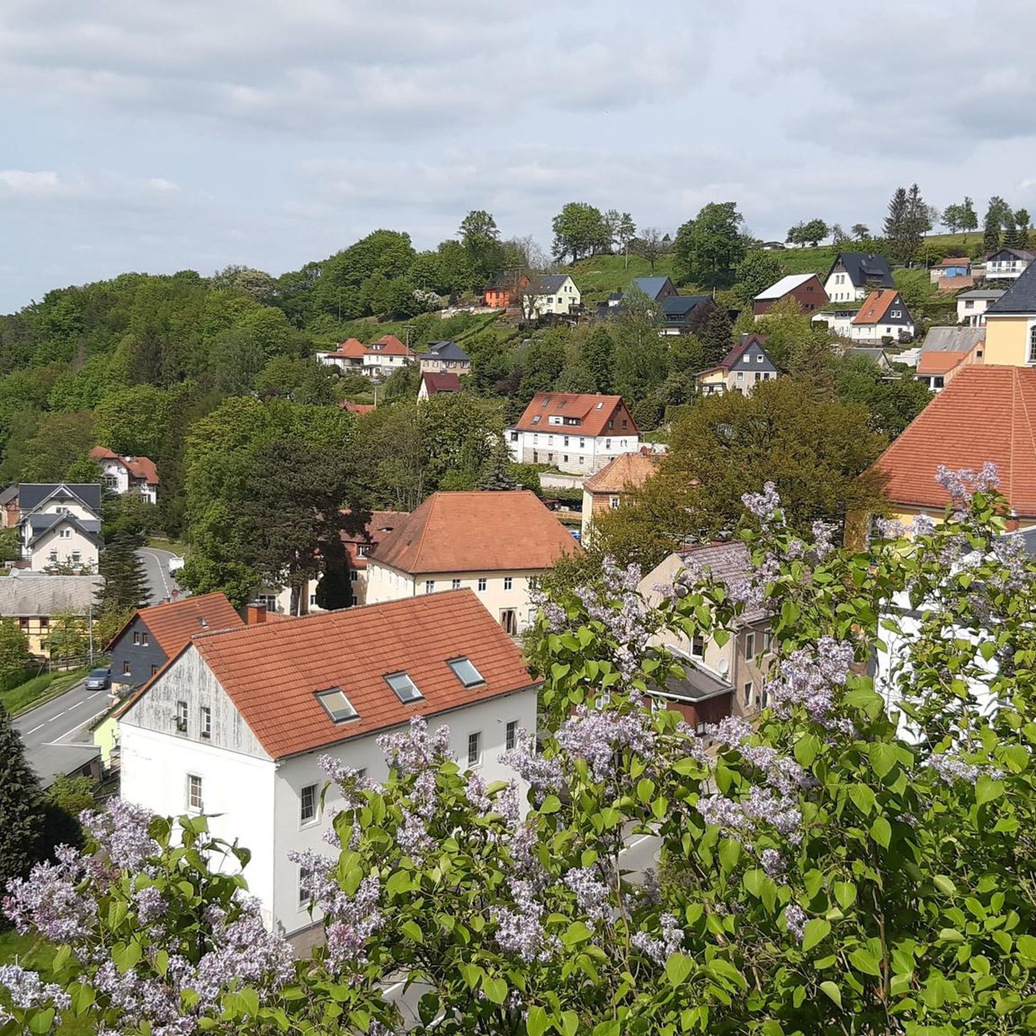
Uvas Creek was dammed in 1957 to create this reservoir, which is used to provide water for the residents and industry in the area. The reservoir and surrounding area form the Uvas Reservoir County Park.
0
0

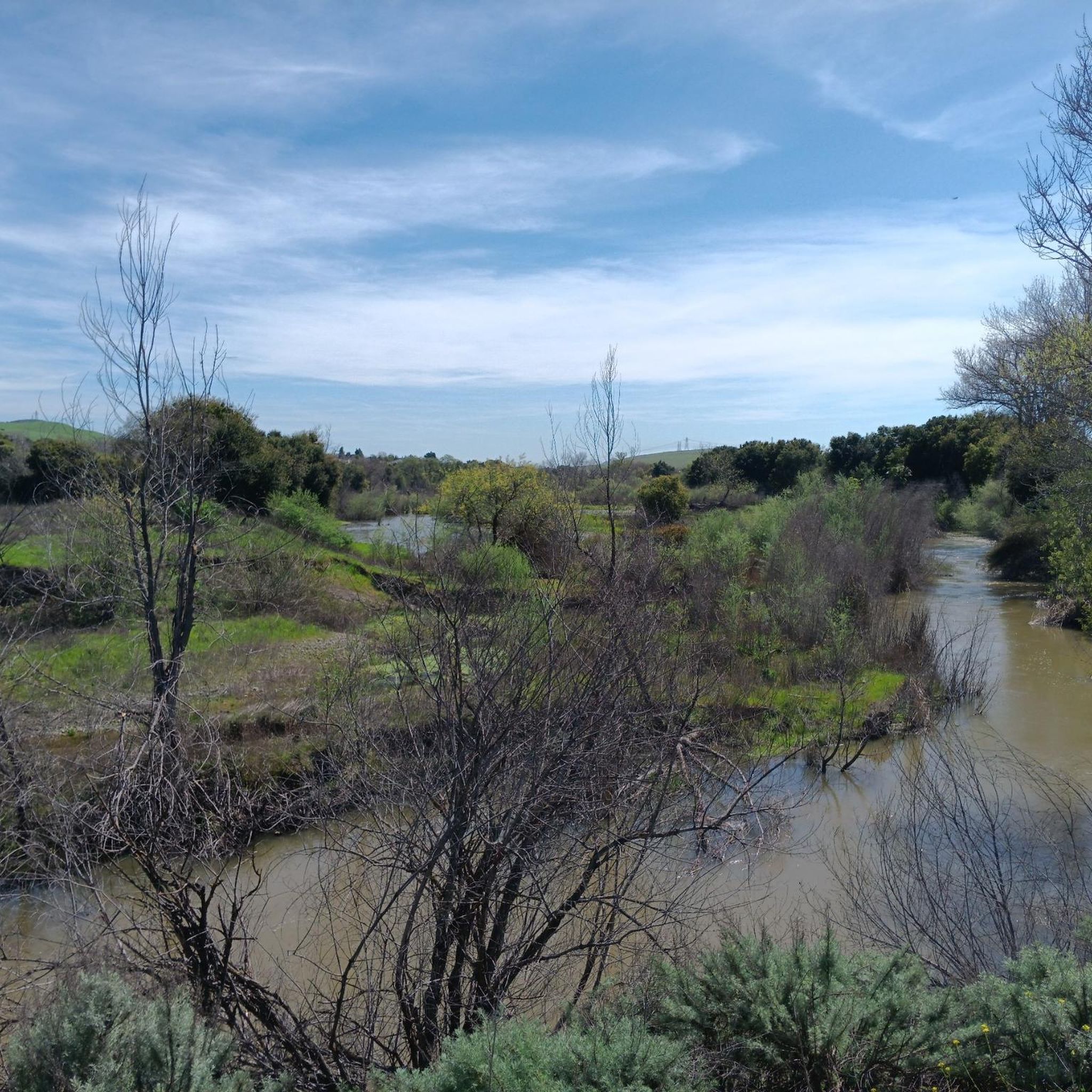
Rosendin Pond offers a charming, quiet escape within Anderson Lake State Park. Its seasonal beauty, gentle trails, and peaceful atmosphere make it a perfect spot for a relaxing escape to nature in Gilroy.
0
0
Frequently Asked Questions
What is the current public access status for El Toro Open Space Preserve?
El Toro Open Space Preserve is actively being developed to expand public access. While the preserve is envisioned as a signature destination, public access to the summit of El Toro Mountain has historically been limited due to private land ownership. However, significant progress is being made to establish official, safe, and ecologically responsible trails for visitors.
How many hiking trails are available in El Toro Open Space Preserve?
Currently, there are 5 hiking routes available in and around El Toro Open Space Preserve listed on komoot. These routes offer a range of experiences, primarily focusing on easy walks through the preserve's accessible areas and nearby parks.
Are there any family-friendly hiking options in the preserve?
Yes, all the currently listed routes in El Toro Open Space Preserve are rated as easy, making them suitable for families. An example is the San Pedro Ave Entrance loop from Hill Rd Entrance, which is a straightforward 1.6-mile path perfect for a leisurely family walk.
What kind of landscapes and natural features can I expect to see while hiking?
The preserve is characterized by native oak woodlands, expansive grasslands, and vibrant seasonal wildflowers, especially in spring. You'll also find scenic views that stretch across the valley and towards the Santa Cruz Mountains from various points, with El Toro Mountain itself being a prominent landmark.
Are dogs allowed on the trails in El Toro Open Space Preserve?
While the preserve is still under development for full public access, rules regarding dogs are typically set by the managing authority. It's best to check the latest regulations from the Santa Clara Valley Open Space Authority for specific dog-friendly trail information before your visit.
What do other hikers enjoy most about hiking in El Toro Open Space Preserve?
The area is highly rated by the komoot community, with an average score of 4.75 stars from 3 reviews. Hikers often praise the quiet natural setting, the opportunity to experience oak woodlands and grasslands, and the accessible nature of the existing trails.
Are there any loop trails available for hiking?
Yes, several loop trails are available. For instance, the Anderson Lake County Park loop from Morgan Hill is a 1.6-mile route featuring gentle elevation changes near Anderson Lake. Another option is the Hill Rd Entrance loop from Morgan Hill, which is a shorter 1.4-mile easy loop.
What is the best time of year to hike in El Toro Open Space Preserve?
The preserve features seasonal wildflowers, suggesting spring is an excellent time to visit for vibrant blooms. However, the mild climate of the region generally makes hiking enjoyable during fall and winter as well, when temperatures are cooler. Summers can be warm, so early mornings or late afternoons are preferable.
Are there any longer or more challenging hikes available?
While most listed routes are easy, the Arrowhead Loop Trail — Coyote Valley Open Space Preserve, though technically outside the immediate preserve, offers a longer 3.9-mile path with some elevation gain, taking about 1 hour 50 minutes to complete. This provides a slightly more challenging option in the broader area.
Where can I find parking and trailheads for the preserve?
Specific parking and trailhead information for the developing El Toro Open Space Preserve is best confirmed through the Santa Clara Valley Open Space Authority's official channels. However, routes like the San Pedro Ave Entrance – Hill Rd Entrance loop from Anderson Lake Park suggest access points near established areas like Anderson Lake Park.
What kind of wildlife might I encounter?
El Toro Open Space Preserve serves as a vital habitat for a variety of wildlife. Visitors might spot deer, bobcats, various hawk species, and native pollinators, especially within the oak woodlands and grasslands.
Most popular routes in El Toro Open Space Preserve

Get inspired with the komoot mobile app


Explore more
Browse the best Hikes in other regions.
