Rancho Canada Del Oro Open Space Preserve
Rancho Canada Del Oro Open Space Preserve
The best road cycling routes in Rancho Canada Del Oro Open Space Preserve
4.8
(70)
1,236
riders
27
rides
Road cycling in Rancho Canada Del Oro Open Space Preserve offers routes through the foothills of the Santa Cruz Mountains in South Santa Clara County. The region is characterized by diverse habitats, including mixed oak woodlands, grasslands, and riparian areas. These areas provide panoramic views of both the Diablo Range and Santa Cruz Mountains. While the preserve itself features a short, paved accessible loop, many popular road cycling routes extend into the surrounding areas, utilizing paved surfaces outside the core…
Last updated: July 1, 2026
51
riders
Moderate road ride. Good fitness required. Mostly well-paved surfaces and easy to ride.
5.0
(1)
7
riders
The Calero Reservoir – Old Santa Cruz Highway loop from Rancho Cañada del Oro Open Space Preserve Entrance is a demanding road cycling route that takes you through a stunning…

Sign up for free
3.8
(4)
83
riders
63.9km
02:53
630m
630m
The Calero County Park to Uvas Canyon County Park loop offers a dynamic road cycling experience through the eastern foothills of the Santa Cruz Mountains. You'll traverse rolling grasslands, California…
12
riders
88.7km
03:56
700m
700m
The Calero County Park to Uvas Reservoir loop offers a dynamic road cycling experience through the heart of Santa Clara County, showcasing diverse landscapes from California Oak woodlands to rolling…
4.0
(2)
77
riders
60.3km
02:36
520m
520m
Moderate road ride. Good fitness required. Mostly well-paved surfaces and easy to ride.
Get access to more routes and recommendations from other explorers.
Sign up for free
Already have an account?
Our route recommendations are based on thousands of hikes, rides, and runs completed by other people on komoot.
Start today with a free account
Your next adventure awaits.
Login or Signup
Popular around Rancho Canada Del Oro Open Space Preserve

Tips from the Community

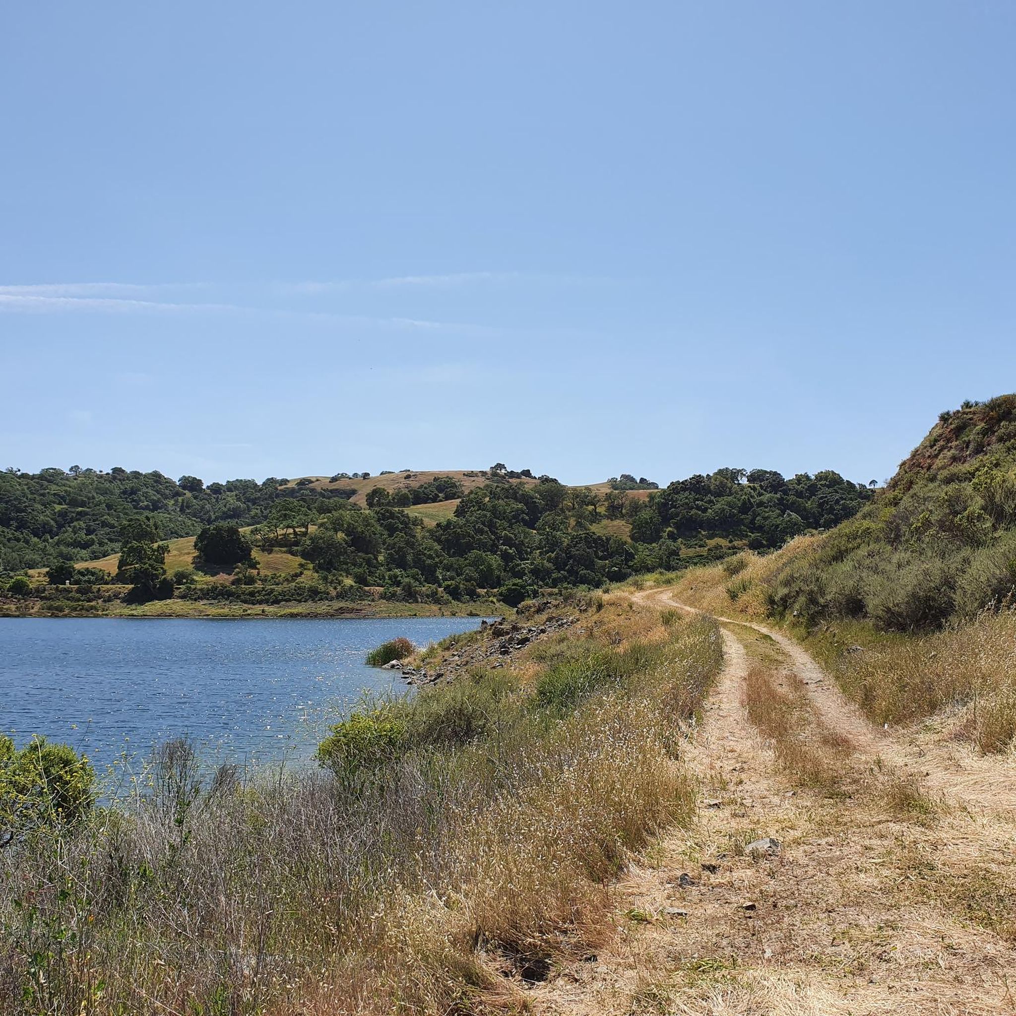
A scenic stop just off the winding roads of the Santa Cruz Mountains, Lexington Reservoir County Park is a great spot to catch your breath and enjoy the view. The smooth pavement along Alma Bridge Road makes it a popular stretch for cyclists, with rolling terrain and minimal traffic. There's parking, restrooms, and shaded areas if you need a break. From here, you can loop toward Los Gatos or push deeper into the climbs of Highway 17 and Old Santa Cruz Highway.
0
0
Here, you can buy fresh fruit, including prunes, pears, apricots, and cherries, depending on the season.
0
0
Here is the entrance to Uvas Canyon County Park. The park has several small falls surrounded by forest, walking less than a mile in, you’ll find a waterfall. Here you can find water fountains, restrooms and a campground. This is the perfect place to end or start your ride.
0
0
Shannon Road starts with a gentle climb from Los Gatos Creek to Blossom Hill Park, then transitions into a steeper ascent as it leads into a rural area. The summit below Blossom Hill offers a rewarding challenge and connects to other routes in the area.
1
0


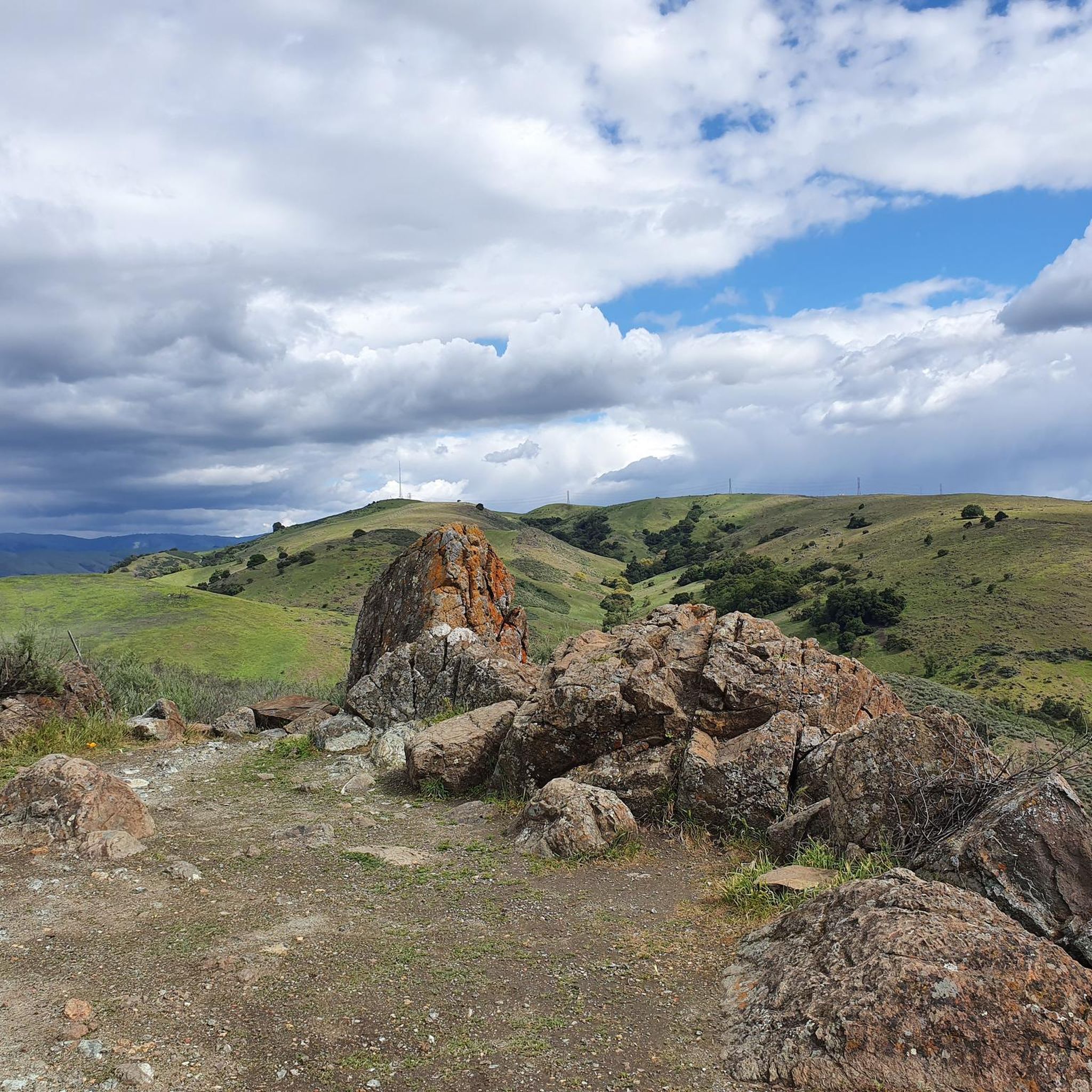
This is a beautiful spot just north of Morgan Hill. In the east you have farms and flat country roads, and in the west there is more mountainous open space preserves.
0
0

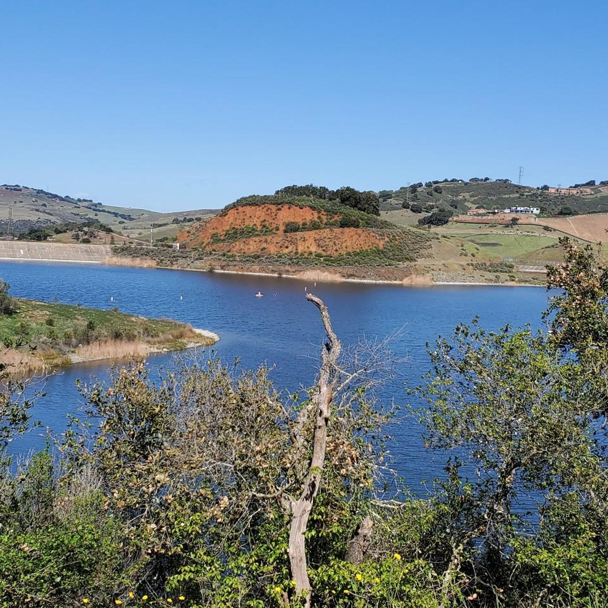
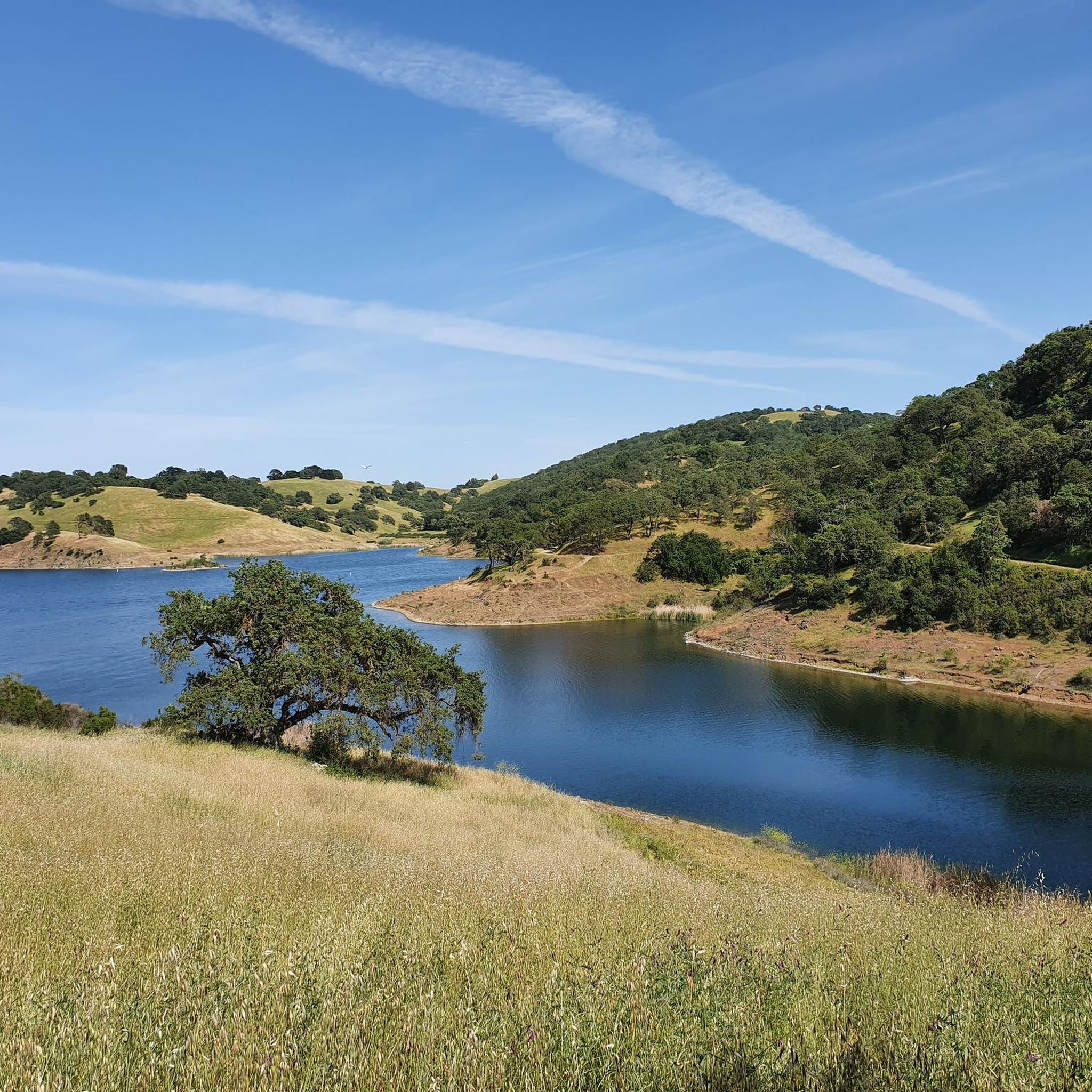
Uvas Creek was dammed in 1957 to create this reservoir, which is used to provide water for the residents and industry in the area. The reservoir and surrounding area form the Uvas Reservoir County Park.
0
0
Rancho San Vicente Open Space Trailhead is a nice place to take a break on a run and use the restroom or enjoy the views of nature. There are plenty of trails that you could extend your run onto in the area with most of them being well marked and pretty smooth.
0
0
Frequently Asked Questions
How many road cycling routes are available in Rancho Cañada del Oro Open Space Preserve?
There are over 25 road cycling routes available in and around Rancho Cañada del Oro Open Space Preserve. These routes cater to various skill levels, including 10 easy, 13 moderate, and 4 difficult options.
What kind of terrain can I expect on road cycling routes in this area?
While the preserve itself has a limited paved section (the 0.5-mile Llagas Creek Loop Trail), most longer road cycling routes extend into the surrounding vicinity. These routes primarily utilize paved surfaces outside the preserve's core, offering views of mixed oak woodlands, grasslands, and riparian areas. You'll experience the foothills of the Santa Cruz Mountains, with some routes featuring significant elevation changes.
Are there challenging road cycling routes with significant elevation?
Yes, for those seeking a challenge, routes like the Mount Umunhum Road – Mount Umunhum loop from Almaden Reservoir offer substantial elevation gain. This difficult 14.2-mile (22.8 km) path is known for its climbs towards Mount Umunhum, providing a rigorous workout.
Are there any beginner-friendly road cycling options?
Within the preserve, the 0.5-mile paved Llagas Creek Loop Trail is suitable for all skill levels, offering a gentle nature experience. For longer, yet still accessible, road cycling, you'll find easy routes that typically feature less elevation and are designed for a more relaxed pace.
What scenic viewpoints or landmarks can I see along the road cycling routes?
Many routes offer sweeping views of the Diablo Range and Santa Cruz Mountains. You might encounter highlights such as Bald Peaks and various viewpoints like Bald Peaks Viewpoint. The Calero Reservoir – View of Chesbro Reservoir loop, for instance, provides scenic views of both reservoirs.
What kind of wildlife might I encounter while cycling?
Rancho Cañada del Oro Open Space Preserve is home to diverse wildlife. Cyclists might spot deer, bobcats, foxes, and various raptors, including golden eagles. In spring, the meadows are adorned with abundant wildflowers, adding to the natural beauty.
Is there parking available for road cyclists?
Yes, parking is available at the Rancho Cañada del Oro Open Space Preserve Entrance, which serves as a common starting point for many cycling routes that extend into the surrounding areas.
Are e-bikes permitted on the trails?
E-bikes with pedal assist are permitted on the multi-use trails within Rancho Cañada del Oro Open Space Preserve, increasing recreational opportunities for a wider range of visitors.
Are there any permit requirements for road cycling?
Generally, there are no specific permit requirements for road cycling on the public roads and multi-use trails within and around Rancho Cañada del Oro Open Space Preserve. However, it's always advisable to check the official preserve website for any updated regulations before your visit.
What do other road cyclists enjoy most about the area?
The area is highly rated by the komoot community, with an average score of 4.6 stars from over 60 reviews. Reviewers often praise the diverse landscapes, from oak woodlands to grasslands, and the panoramic views of the surrounding mountain ranges. The variety of routes, from moderate loops like the Calero County Park to Uvas Canyon County Park loop to longer, more challenging rides, is also frequently highlighted.
Are there any cafes or places to refuel near the routes?
While the preserve itself is a natural area without commercial facilities, the surrounding towns and communities in South Santa Clara County offer various cafes and amenities where you can refuel before or after your ride. Planning your route to pass through these areas can provide convenient stops.
What is the best time of year for road cycling in Rancho Cañada del Oro?
Spring is particularly beautiful, with meadows and hillsides covered in abundant wildflowers. Fall also offers pleasant temperatures and clear skies. Summers can be warm, so early morning rides are recommended, while winters are generally mild but can bring occasional rain.
Are there family-friendly road cycling routes?
For families, the 0.5-mile paved Llagas Creek Loop Trail within the preserve is an excellent, accessible option. For slightly longer, easy routes outside the immediate preserve, you can find options that are suitable for families looking for a relaxed ride on paved surfaces.
Most popular routes in Rancho Canada Del Oro Open Space Preserve
Most popular attractions in Rancho Canada Del Oro Open Space Preserve

Get inspired with the komoot mobile app


Explore more
Browse the best Road cycling routes in other regions.
