Rancho Canada Del Oro Open Space Preserve - Restricted Area
Rancho Canada Del Oro Open Space Preserve - Restricted Area
The best walks and hikes in Rancho Canada Del Oro Open Space Preserve - Restricted Area
4.8
(47)
666
hikers
33
hikes
Hiking trails in Rancho Canada Del Oro Open Space Preserve - Restricted Area traverse a diverse landscape within the Santa Cruz Mountains foothills. The preserve features mixed oak woodlands, annual grasslands, chaparral, and riparian areas along two creeks. From its ridgelines, hikers can experience panoramic views of the Diablo Range and the Santa Cruz Mountains. This varied terrain offers a range of experiences for outdoor enthusiasts.
Best hiking trails in Rancho Canada Del Oro Open Space Preserve - Restricted Area
…Last updated: May 29, 2026
2
hikers
26.5km
07:58
830m
840m
Hard hike. Very good fitness required. Easily-accessible paths. Suitable for all skill levels.
5.0
(3)
29
hikers
13.1km
03:58
450m
450m
Moderate hike. Good fitness required. Easily-accessible paths. Suitable for all skill levels.

Sign up for free
5.0
(1)
14
hikers
10.9km
03:15
330m
330m
Moderate hike. Good fitness required. Easily-accessible paths. Suitable for all skill levels.
4.8
(4)
44
hikers
Moderate hike. Good fitness required. Easily-accessible paths. Suitable for all skill levels.
5.0
(2)
9
hikers
Moderate hike. Good fitness required. Easily-accessible paths. Suitable for all skill levels.
Get access to more routes and recommendations from other explorers.
Sign up for free
Already have an account?
Our route recommendations are based on thousands of hikes, rides, and runs completed by other people on komoot.
Start today with a free account
Your next adventure awaits.
Login or Signup
Popular around Rancho Canada Del Oro Open Space Preserve - Restricted Area
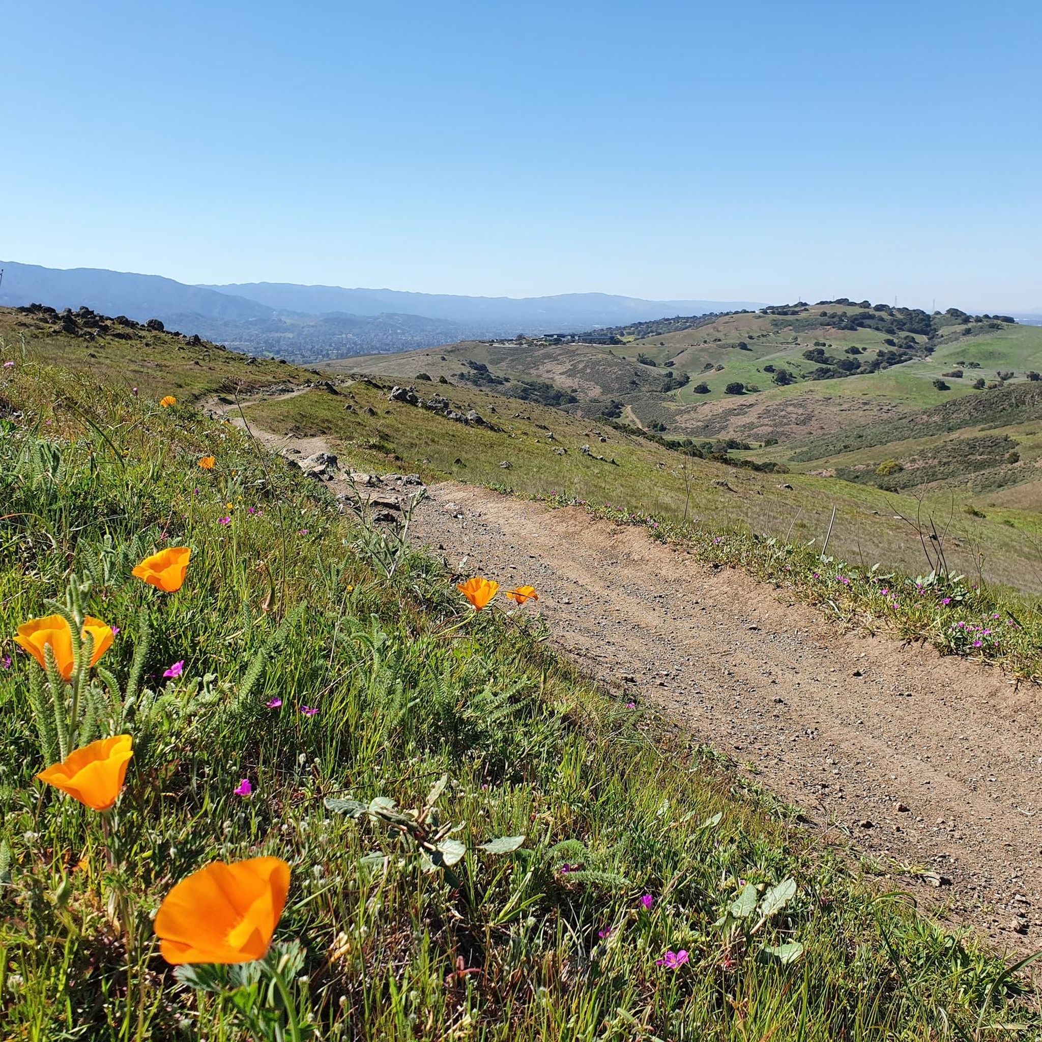
Running Trails in Rancho Canada Del Oro Open Space Preserve - Restricted Area
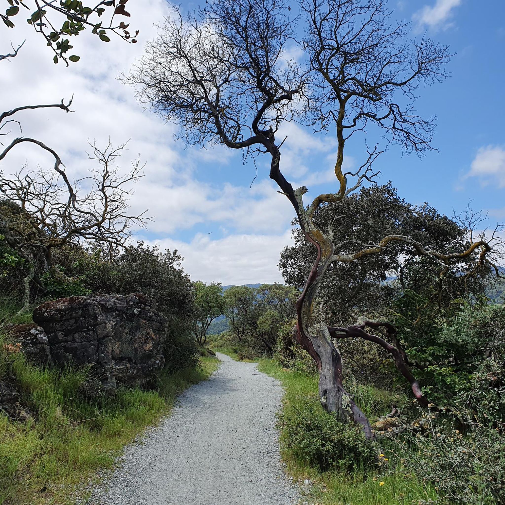
Cycling in Rancho Canada Del Oro Open Space Preserve - Restricted Area
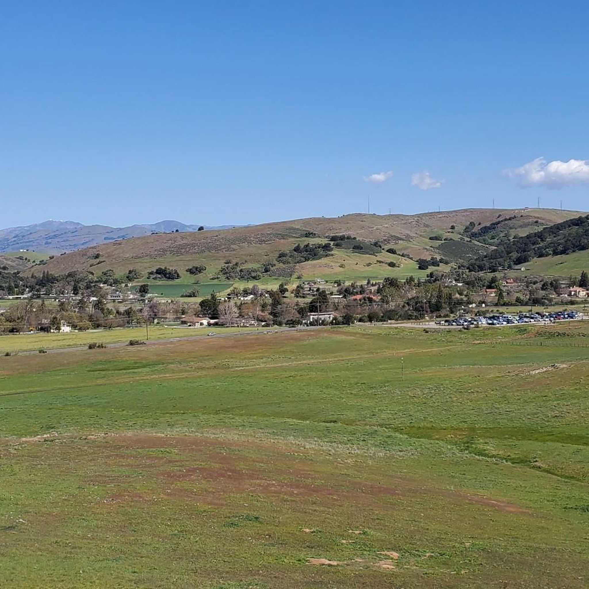
MTB Trails in Rancho Canada Del Oro Open Space Preserve - Restricted Area

Road Cycling Routes in Rancho Canada Del Oro Open Space Preserve - Restricted Area
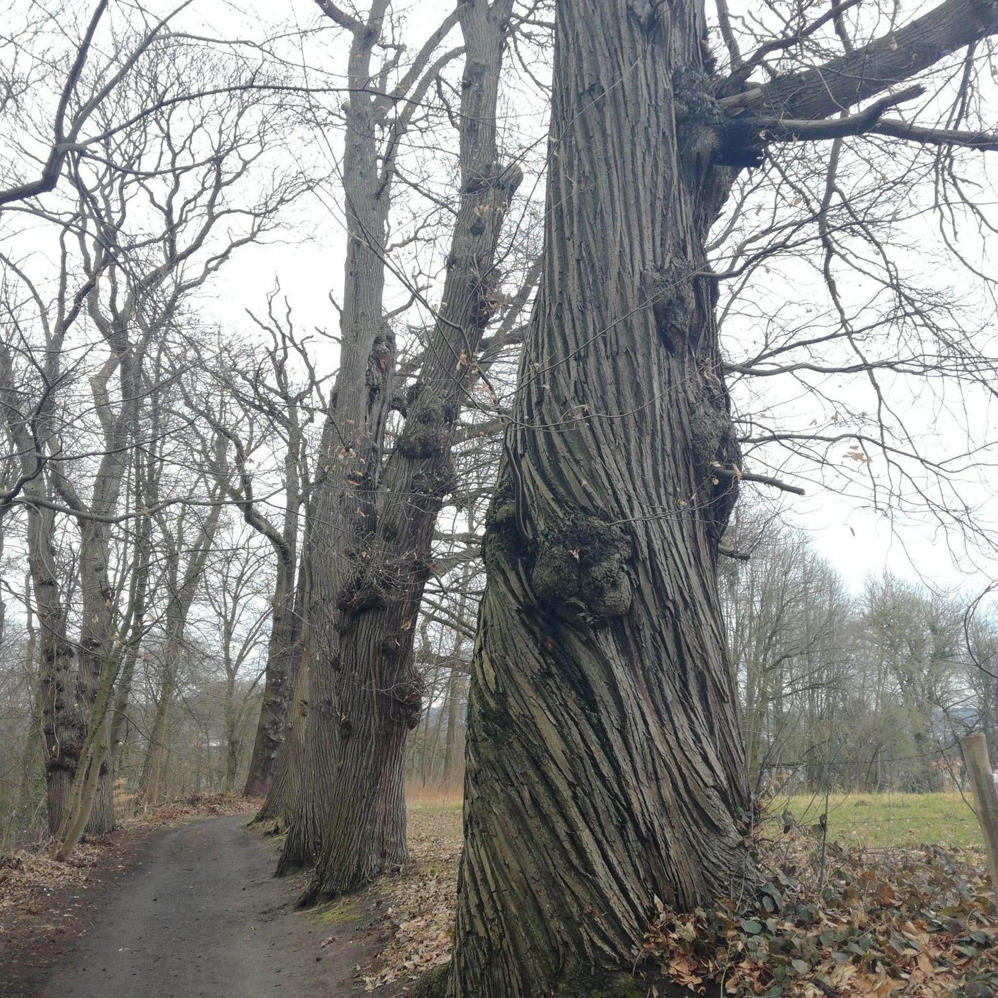
Gravel biking in Rancho Canada Del Oro Open Space Preserve - Restricted Area
Tips from the Community

Bald Peak provides great views of Santa Clara Valley, the Diablo Range, and the Santa Cruz Mountains. Hikers and mountain bikers can access the peak via trails like Hidden Springs and Coyote Peak, which offer moderate to steep climbs. Early mornings or late afternoons are best for enjoying cooler temperatures in hot summer months. The trails are well-maintained and scenic.
0
0

This length of singletrack is absolutely stunning. Running through a mixture of small trees and open scrubland, and on a good quality surface, it can't get much better than this.
1
0
The views from the Bald Peak Trail are fantastic, with arid scrubland mixed in with lush trees and vegetation. The elevated position of this trail gives it a really special feeling.
0
0

Longwall Canyon Trail is a nicely marked trail that navigates through trees, fields, and has stunning views of the South Bay at points. The trail has a nice mix of terrain and scenery to keep things interesting.
0
0

Calero County Park is a huge park covering over 4,400 acres and featuring a huge lake. Calero Reservoir is definitely the pinnacle of the park, but there are a number of trails and paths that offer different views and pass through different natural ecosystems. Being such a big park, there are a bunch of different trailheads and park entrances that you can utilize.
0
0
Calero County Park is a huge park covering over 4,400 acres and featuring a huge lake. Calero Reservoir is definitely the pinnacle of the park, but there are a number of trails and paths that offer different views and pass through different natural ecosystems. Being such a big park, there are a bunch of different trailheads and park entrances that you can utilize.
1
0

Fossils of marine creatures like clams and oysters can be found in the sandstone of the peaks, hinting at a time when the area was submerged beneath the ocean. The hills around Bald Peaks are home to unique rock formations like chert and rhyolite, attracting hobbyists searching for colorful and interesting specimens.
1
0

From the high knoll you get a 360 degree view of all the South Bay. Wildflowers are abundant in the spring.
0
0
Frequently Asked Questions
How many hiking trails are available in Rancho Cañada del Oro Open Space Preserve?
There are over 25 hiking routes available in Rancho Cañada del Oro Open Space Preserve. These trails traverse diverse landscapes, offering options for various skill levels.
What are the best times of year to hike in Rancho Cañada del Oro Open Space Preserve?
The preserve is particularly beautiful in late winter and spring when the meadows and hillsides burst with vibrant wildflowers. Fall also offers pleasant hiking conditions with cooler temperatures. Summers can be hot, so early morning or late afternoon hikes are recommended.
Are there any easy or family-friendly hiking options in the preserve?
Yes, the preserve offers several easy trails suitable for families. For instance, the Llagas Creek Loop Trail (0.5 miles) and the Hidden Meadow Trail (0.15 miles) are accessible options. Overall, there are 9 easy routes available, providing gentle experiences amidst nature.
Are dogs allowed on the trails in Rancho Cañada del Oro Open Space Preserve?
No, dogs are not permitted anywhere in Rancho Cañada del Oro Open Space Preserve due to the sensitive habitat and abundant wildlife. This restriction helps protect the preserve's ecological balance.
What kind of wildlife can I expect to see while hiking?
Rancho Cañada del Oro is rich in biodiversity. You might spot deer, bobcats, foxes, and various bird species including raptors like golden eagles and red-tailed hawks. Keep an eye out for wild turkeys and acorn woodpeckers as well. Remember to observe wildlife from a respectful distance.
Are there any scenic viewpoints or panoramic vistas?
Absolutely. From the ridgelines within the preserve, hikers can enjoy outstanding sweeping views of both the Diablo Range and the Santa Cruz Mountains. A popular route that offers such views is the Bald Peaks Viewpoint – Bald Peaks Trail Viewpoint loop.
What are the parking facilities like at Rancho Cañada del Oro Open Space Preserve?
The preserve has designated parking areas at its main entrance. It's advisable to arrive early, especially on weekends, as parking can fill up quickly. There is no drinking water available at the parking lot or along the trails, so bring your own supply.
Is public transport available to reach Rancho Cañada del Oro Open Space Preserve?
Public transport options directly to the preserve are limited. Most visitors typically access the preserve by car. It's recommended to check local transit authority websites for any potential bus routes that might serve the general area, though direct access is unlikely.
What should I know about trail conditions and difficulty?
The trails range from easy to difficult, with 9 easy, 15 moderate, and 1 difficult route. Conditions vary with weather; trails can be muddy after rain or dusty in dry seasons. Always wear appropriate footwear and check weather forecasts before heading out. The preserve features varied terrain, from grassy meadows to chaparral and oak woodlands.
Are there any restrictions or special permits required for hiking?
While general hiking does not require special permits, certain areas might have limited access due to ecological sensitivity or ongoing planning. Dogs and drones are strictly prohibited throughout the preserve. Always adhere to posted signage and regulations.
What do other hikers enjoy most about Rancho Cañada del Oro Open Space Preserve?
The preserve is highly rated by the komoot community, with an average score of 4.8 stars. Reviewers often praise the diverse landscapes, from mixed oak woodlands to grasslands, the panoramic views from the ridgelines, and the well-maintained multi-use trails that offer a sense of escape into nature.
Can I connect to other parks or longer trail networks from here?
Yes, Rancho Cañada del Oro Open Space Preserve's trail network thoughtfully connects to Calero County Park. This connection allows for longer and more varied hiking loops, forming part of the regional Bay Area Ridge Trail, offering over 14 miles of continuous trail for extended adventures.
Most popular routes in Rancho Canada Del Oro Open Space Preserve - Restricted Area

Get inspired with the komoot mobile app


Explore more
Browse the best Hikes in other regions.
