Little Uvas Open Space Preserve (Restricted Area)
Little Uvas Open Space Preserve (Restricted Area)
The best road cycling routes in Little Uvas Open Space Preserve (Restricted Area)
4.0
(13)
1,009
riders
38
rides
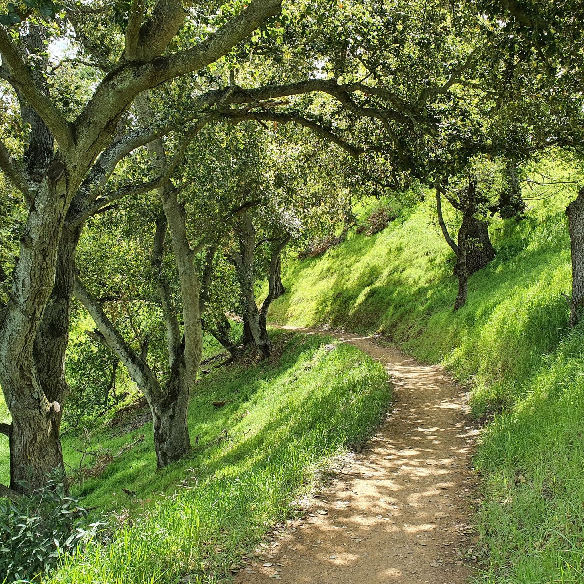
Road cycling in Little Uvas Open Space Preserve (Restricted Area) primarily refers to routes on public roads and in adjacent parks, as the preserve itself is a restricted area. The surrounding region, including Uvas Road, features rolling hills, oak groves, and scenic views of reservoirs. While the preserve contains dirt roads and small hills, road cycling opportunities are found outside its boundaries. This area is characterized by varied terrain suitable for road cycling, offering both challenging climbs and more gentle…
Last updated: October 11, 2026
1.0
(2)
42
riders
64.3km
03:35
1,130m
1,120m
Hard road ride. Very good fitness required. Mostly well-paved surfaces and easy to ride.
41
riders
Moderate road ride. Good fitness required. Mostly well-paved surfaces and easy to ride.

18
riders
Easy road ride. Great for any fitness level. Mostly well-paved surfaces and easy to ride.
5.0
(2)
20
riders
Moderate road ride. Great for any fitness level. Some segments of this route may be unpaved and difficult to ride.
68
riders
42.1km
02:31
1,020m
1,020m
Challenge yourself road cycling 26.2 miles up East Dunne Avenue to Henry Coe State Park, gaining 3343 feet for expansive views.
Get access to more routes and recommendations from other explorers.
Already have an account?
Our route recommendations are based on thousands of hikes, rides, and runs completed by other people on komoot.
Start today with a free account
Your next adventure awaits.
Popular around Little Uvas Open Space Preserve (Restricted Area)


Tips from the Community

Here, you can buy fresh fruit, including prunes, pears, apricots, and cherries, depending on the season.
0
0

This 4,605-acre park covers a large area of Redwood forest. There are many miles of trails, campsites, guided trail rides and more.
0
0

Seacliff State Beach is a long stretch of sand backed by bluffs and is best known for its concrete freighter, the SS Palo Alto, lying in the water just off the beach.
0
0

The Coyote Creek Trail, also called the Bay Area Ridge Trail, is a stunningly paved multi-use path that slowly transitions to gravel. The trail winds in between a number of ponds and has a little more shade at the turnaround loop.
0
0
This is a beautiful spot just north of Morgan Hill. In the east you have farms and flat country roads, and in the west there is more mountainous open space preserves.
0
0
Rancho San Vicente Open Space Trailhead is a nice place to take a break on a run and use the restroom or enjoy the views of nature. There are plenty of trails that you could extend your run onto in the area with most of them being well marked and pretty smooth.
0
0

The Henry Coe State Park was donated to the Santa Clara County in 1953 by the daughter of the ranch owner. It's the largest state park in northern California. It's a great ride up from Anderson Lake and features in the annual Tierra Bella Tour.
0
0

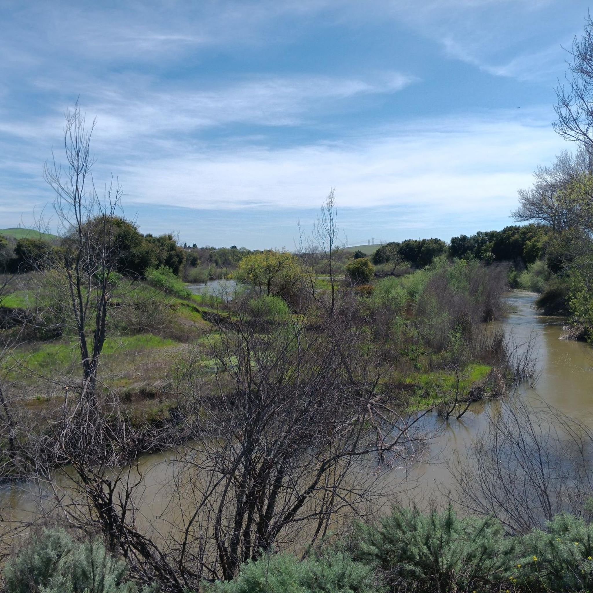
It's always nice riding by a lake or reservoir, but the draught has taken a toll on the water's level in 2022
0
0
Frequently Asked Questions
Can I road cycle directly within Little Uvas Open Space Preserve?
No, Little Uvas Open Space Preserve is a restricted area and not publicly accessible for general road cycling. The preserve is typically open only for special events or guided visits. Road cycling opportunities in this region are found on public roads and in adjacent county parks like Uvas Reservoir County Park and Uvas Canyon County Park.
Where can I find road cycling routes near Little Uvas Open Space Preserve?
Road cycling in this region primarily takes place on public roads surrounding the preserve, such as Uvas Road, and within nearby parks. komoot offers over 35 road cycling routes in the broader area, ranging from moderate loops to more challenging climbs. You can explore options like the Calero Reservoir – View of Chesbro Reservoir loop or the Coyote Creek Trail – Ogier Ponds Bike Path loop.
What kind of terrain and elevation can I expect on road cycling routes in this region?
The road cycling routes in the Little Uvas area are characterized by rolling hills, oak woodlands, and scenic views of reservoirs. You can expect varied terrain, offering both challenging climbs with significant elevation gain, such as the Rio Del Mar Beach – Seacliff State Beach loop which has over 1100 meters of ascent, and more gentle stretches suitable for moderate rides.
Are there road cycling routes for different skill levels?
Yes, the region offers a variety of road cycling routes catering to different abilities. You'll find moderate paths like the Coyote Creek Trail – Ogier Ponds Bike Path loop, as well as more difficult routes with substantial climbs, such as the Calero Reservoir – Old Santa Cruz Highway loop, which covers over 165 km with more than 2200 meters of elevation gain.
What natural features or scenic views can I expect to see while road cycling here?
While cycling on public roads and in nearby parks, you'll encounter scenic views of reservoirs like Uvas Reservoir and Chesbro Reservoir, rolling hills, and oak groves. The area is known for its diverse plant life, including wildflowers, grey pine, and oak woodlands, providing a picturesque backdrop for your ride.
Is there parking available for road cyclists in the Little Uvas area?
Yes, for routes that start from public access points, parking is typically available at trailheads or designated parking areas within adjacent county parks, such as Uvas Reservoir County Park or near the Rancho Cañada del Oro Open Space Preserve Entrance. Always check specific route details for recommended starting points and parking information.
What is the best time of year to go road cycling in this region?
The region generally offers good road cycling conditions for much of the year. Spring is particularly pleasant for enjoying wildflowers, while fall provides cooler temperatures and beautiful foliage. Summer can be warm, so early morning rides are often preferred. Winter rides are possible, but be mindful of potential rain and cooler temperatures.
Are there any family-friendly road cycling options near Little Uvas Open Space Preserve?
While the immediate preserve is restricted, nearby areas offer family-friendly options. Routes like the Coyote Creek Trail – Ogier Ponds Bike Path loop are moderate in difficulty and feature paved paths, making them suitable for families looking for a less strenuous ride.
What do other road cyclists enjoy the most about road cycling in this area?
The area is highly rated by the komoot community, with an average score of 4.1 stars from over 17 reviews. Reviewers often praise the scenic views of reservoirs and rolling hills, the varied terrain that offers both challenging climbs and enjoyable stretches, and the overall natural beauty of the oak woodlands.
Are there any long-distance road cycling routes available?
Yes, for those seeking longer rides, the region offers several extensive routes. An example is the Calero Reservoir – Old Santa Cruz Highway loop, which spans over 165 kilometers and involves significant elevation changes, providing a substantial challenge for experienced road cyclists.
Can I find routes that include coastal views from this area?
Yes, some longer routes originating from the broader region extend towards the coast, offering diverse scenery. The Rio Del Mar Beach – Seacliff State Beach loop is a difficult 64 km route that provides both significant elevation gain and rewarding coastal views.
Most popular routes in Little Uvas Open Space Preserve (Restricted Area)

Get inspired with the komoot mobile app


Explore more
Browse the best Road cycling routes in other regions.
