Upper Uvas Creek Open Space Preserve (Closed Area)
Upper Uvas Creek Open Space Preserve (Closed Area)
The best cycling routes in Upper Uvas Creek Open Space Preserve (Closed Area)
4.3
(3)
108
riders
3
rides
Touring cycling in Upper Uvas Creek Open Space Preserve (Closed Area) features a landscape characterized by rolling hills, open spaces, and reservoir areas. The region includes varied terrain, from moderate climbs around Bald Peaks to routes near Chesbro Reservoir. Elevations generally remain below 200 meters, classifying them as hills rather than mountains.
Best touring cycling routes in Upper Uvas Creek Open Space Preserve (Closed Area)
- The most popular touring cycling route is Bald Peaks Loop, an 8.0 miles (12.9…
Last updated: August 18, 2026
3.0
(1)
12
riders
12.9km
01:31
440m
440m
Moderate bike ride. Good fitness required. Mostly paved surfaces. Suitable for all skill levels.
5.0
(1)
11
riders
Hard bike ride. Very good fitness required. Mostly paved surfaces. Suitable for all skill levels.

Sign up for free
4
riders
Moderate bike ride. Good fitness required. Mostly paved surfaces. Suitable for all skill levels.
5.0
(1)
26
riders
28.5km
02:27
980m
980m
Hard bike ride. Very good fitness required. Mostly paved surfaces. Suitable for all skill levels.
5
riders
6.39km
00:47
270m
270m
Moderate bike ride. Good fitness required. Mostly paved surfaces. Suitable for all skill levels.
Our route recommendations are based on thousands of hikes, rides, and runs completed by other people on komoot.
Start today with a free account
Your next adventure awaits.
Login or Signup
Popular around Upper Uvas Creek Open Space Preserve (Closed Area)

Tips from the Community

If you make the summit a fantastic view awaits. Be aware the road goes down then up to the road about then up again to the summit!…
0
0

Still one of the highest points in the Santa Cruz Mountains, even though the military graded and flattened the actual summit to create an Air Force base. The summit was cleaned of hazardous material in 2009, then carefully restored after a lot of community input. It's a lovely place to visit now!
0
0

You'll want to have your maps downloaded and your route planned once you reach this point. Two trails diverge here and short distance down the Castillero Trail you'll have the option to take up the English Camp Trail.
1
0

Climbing Mount Umunhum is a tough but rewarding challenge. The road is steep, with sections reaching up to 18% grades, so pace yourself. The views from the top are spectacular, making the hard work worth it. Start early to avoid traffic and the heat, and be prepared for a long, demanding ascent.
0
0

Bald Peak provides great views of Santa Clara Valley, the Diablo Range, and the Santa Cruz Mountains. Hikers and mountain bikers can access the peak via trails like Hidden Springs and Coyote Peak, which offer moderate to steep climbs. Early mornings or late afternoons are best for enjoying cooler temperatures in hot summer months. The trails are well-maintained and scenic.
0
0
A good little climb to get your legs warmed up. This trail does get busy though, especially on weekends, so be courteous to your fellow trail users.
0
0
At the summit of Mt Umunhum is an 8 story tower that was used as a radar outpost by the US Air Force until 1980. In addition to this piece of military history you'll also find stunning views in all directions. On clear days you can see as far as San Francisco and Monterey.
1
0

This marks the beginning of the Woods Trail, that heads west into Sierra Azul hills. A couple of long MTB loops can be started from here.
1
0
Frequently Asked Questions
How many touring cycling routes are available in Upper Uvas Creek Open Space Preserve (Closed Area)?
There are 4 touring cycling routes documented in Upper Uvas Creek Open Space Preserve (Closed Area) on komoot, offering a variety of experiences through rolling hills and open spaces.
What are the difficulty levels of touring cycling routes in Upper Uvas Creek Open Space Preserve?
The touring cycling routes in Upper Uvas Creek Open Space Preserve (Closed Area) are primarily rated as moderate, with 3 routes falling into this category. There is also 1 difficult route for more experienced cyclists. No easy routes are currently listed.
Are there longer touring cycling routes for experienced riders?
Yes, for experienced riders looking for a longer challenge, consider the Chesbro Reservoir – Chesbro Reservoir County Park loop from Rancho Cañada del Oro Open Space Preserve Entrance. This route covers 23.5 miles (37.9 km) and navigates around the reservoir and through parkland. Another option is the difficult-rated Bald Peaks Viewpoint – Bald Peaks Viewpoint loop from Rancho Cañada del Oro Open Space Preserve Entrance, which is 25.1 km long with significant elevation gain.
Where can I park when visiting Upper Uvas Creek Open Space Preserve?
Many routes, such as the Chesbro Reservoir loop and the Longwall Canyon Trail loop, start from the Rancho Cañada del Oro Open Space Preserve Entrance, which typically offers parking facilities. It's always advisable to check specific preserve regulations and parking availability before your visit.
Are the touring cycling routes in Upper Uvas Creek Open Space Preserve suitable for families with children?
While there are no routes specifically rated as 'easy' in the preserve, the moderate routes might be suitable for older, more experienced children. The Longwall Canyon Trail loop is shorter at 4.3 miles (6.9 km) and could be an option for families looking for a less strenuous ride, though it is still rated moderate.
When is the best time of year to go touring cycling in Upper Uvas Creek Open Space Preserve?
The region experiences warm, dry summers and mild, wet winters. Spring and fall generally offer the most pleasant touring cycling conditions with moderate temperatures and lush scenery. Summers can be hot, so early morning rides are recommended if cycling during this season. Winters can bring rain, making some trails muddy.
Are there circular touring cycling routes available?
Yes, several routes in the preserve are circular, allowing you to start and end at the same point. Examples include the popular Bald Peaks Loop, the Chesbro Reservoir loop, and the Longwall Canyon Trail loop.
What kind of wildlife might I encounter while touring cycling?
Upper Uvas Creek Open Space Preserve is home to various wildlife. Cyclists might spot deer, rabbits, and a variety of bird species. Keep an eye out for raptors soaring overhead. As with any natural area, it's important to observe wildlife from a distance and not disturb their habitats.
Are there scenic viewpoints along the touring cycling routes?
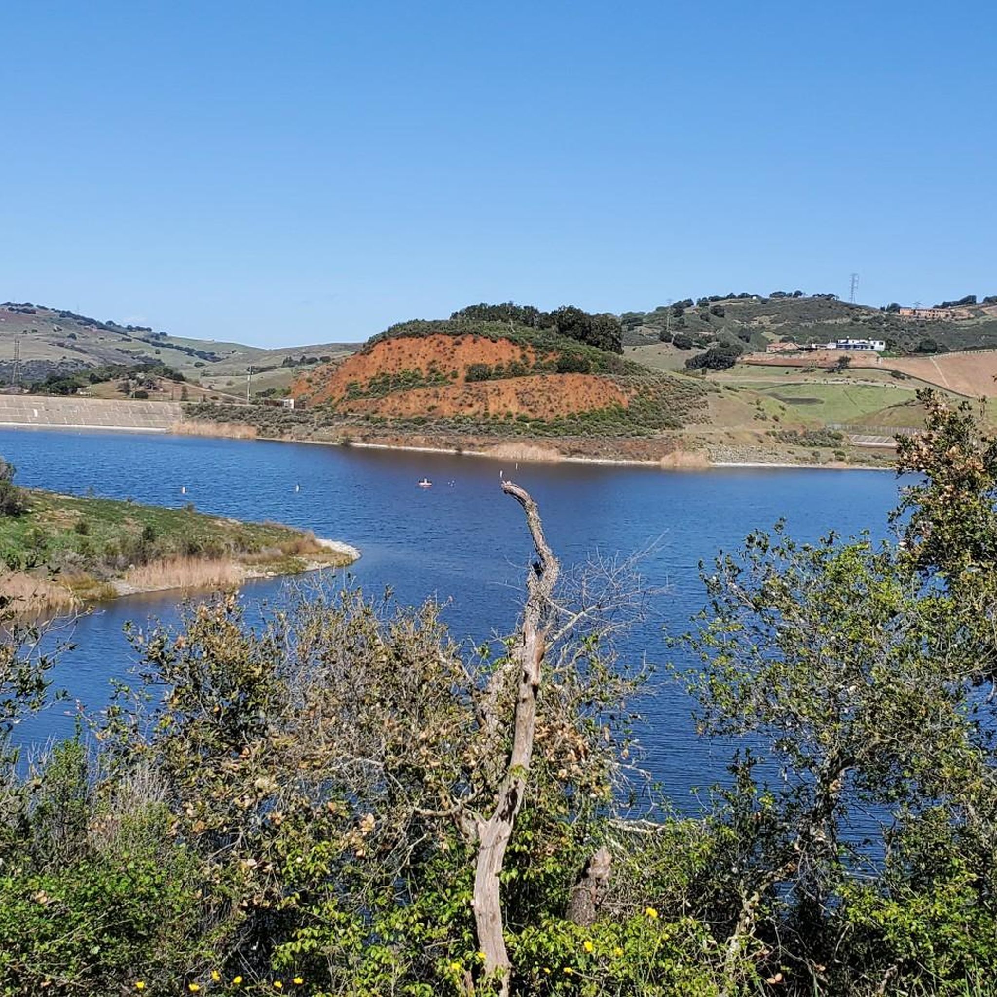
Yes, the preserve offers scenic views, particularly from higher elevations. The Bald Peaks Viewpoint loop is specifically named for its vistas, providing panoramic views of the surrounding rolling hills and open spaces. Routes around Chesbro Reservoir also offer picturesque water views.
What do other touring cyclists enjoy the most about touring cycling in Upper Uvas Creek Open Space Preserve (Closed Area)?
The area is highly rated by the komoot community, with an average score of 4.0 stars from over 2 reviews. Reviewers often praise the open terrain, rolling hills, and reservoir views that define the touring cycling experience here. The variety of moderate and difficult routes also appeals to a range of cyclists.
Are there any cafes or places to refuel near the touring cycling routes?
Upper Uvas Creek Open Space Preserve is a natural area, so direct services like cafes within the preserve are limited. It's recommended to bring your own water and snacks. For cafes and restaurants, you would need to venture into nearby towns such as Morgan Hill or Gilroy, which are a short drive away.
What should I wear or bring for touring cycling in Upper Uvas Creek Open Space Preserve?
Given the open terrain and potential for varying weather, it's advisable to wear layers, even on warm days, as temperatures can change. Always bring plenty of water, especially during warmer months, and sun protection like sunscreen and a hat. A basic bike repair kit and a fully charged phone are also recommended for safety.
Most popular routes in Upper Uvas Creek Open Space Preserve (Closed Area)

Get inspired with the komoot mobile app


Explore more
Browse the best Cycling routes in other regions.
