Mount Chual Open Space Preserve (Closed Area)
Mount Chual Open Space Preserve (Closed Area)
The best road cycling routes in Mount Chual Open Space Preserve (Closed Area)
4.6
(10)
305
riders
9
rides
Road cycling routes in Mount Chual Open Space Preserve (Closed Area) are situated within Santa Clara County, characterized by open space landscapes and several significant reservoirs. The terrain primarily features rolling hills and varied elevations, offering a mix of moderate climbs and descents. The area provides a natural setting for road cycling, with routes often traversing alongside bodies of water and through undeveloped lands.
Best road cycling routes in Mount Chual Open Space Preserve (Closed Area)
- The most popular road…
Last updated: September 28, 2026
8
riders
35.0km
02:09
630m
630m
Moderate road ride. Good fitness required. Mostly well-paved surfaces and easy to ride.
41
riders
Moderate road ride. Good fitness required. Mostly well-paved surfaces and easy to ride.

3.8
(4)
82
riders
63.9km
02:53
630m
630m
The Calero County Park to Uvas Canyon County Park loop offers a dynamic road cycling experience through the eastern foothills of the Santa Cruz Mountains. You'll traverse rolling grasslands, California…
13
riders
88.7km
03:56
700m
700m
The Calero County Park to Uvas Reservoir loop offers a dynamic road cycling experience through the heart of Santa Clara County, showcasing diverse landscapes from California Oak woodlands to rolling…
5.0
(5)
54
riders
Moderate road ride. Good fitness required. Some segments of this route may be unpaved and difficult to ride.
Get access to more routes and recommendations from other explorers.
Already have an account?
Our route recommendations are based on thousands of hikes, rides, and runs completed by other people on komoot.
Start today with a free account
Your next adventure awaits.
Popular around Mount Chual Open Space Preserve (Closed Area)

Tips from the Community

Guadalupe Creek flows eastward from San Bruno Mountain in San Mateo County, passing through San Bruno Mountain State and County Park and Brisbane before reaching Brisbane Lagoon, a remnant of San Francisco Bay. The area is home to endangered butterflies and the San Francisco garter snake. The creek can be seen from Hicks Road, and it winds along the side of the road.
1
0

Here, you can buy fresh fruit, including prunes, pears, apricots, and cherries, depending on the season.
0
0
Here is the entrance to Uvas Canyon County Park. The park has several small falls surrounded by forest, walking less than a mile in, you’ll find a waterfall. Here you can find water fountains, restrooms and a campground. This is the perfect place to end or start your ride.
0
0
The Almaden Quicksilver Mining Museum is in the historic 1854 Casa Grande manor. The museum gives visitors a glimpse into the history of mercury (also known as quicksilver) mining and the role it played in the California Gold Rush. Visitors can explore exhibits of 19th-century mining photos, a mine tunnel diorama, and artifacts from mining families. The museum is open Friday through Sunday from 12:00 to 4:00 PM, with a suggested $2 donation for admission, and the museum grounds are open daily from 8:00 AM to sunset.
2
0

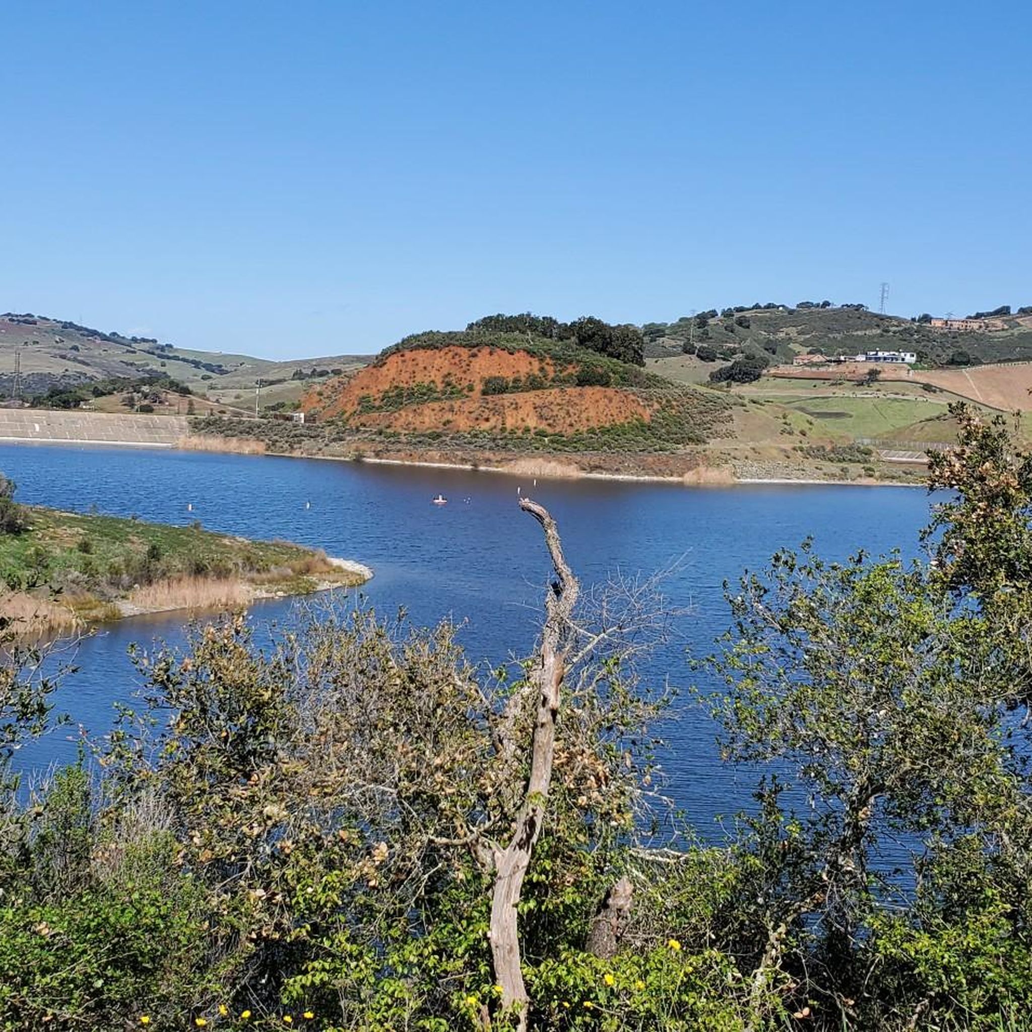
Hicks Road winds around Guadalupe Reservoir. Here, you can see some of the best views of the lake. Please be cautious of cars.
0
0

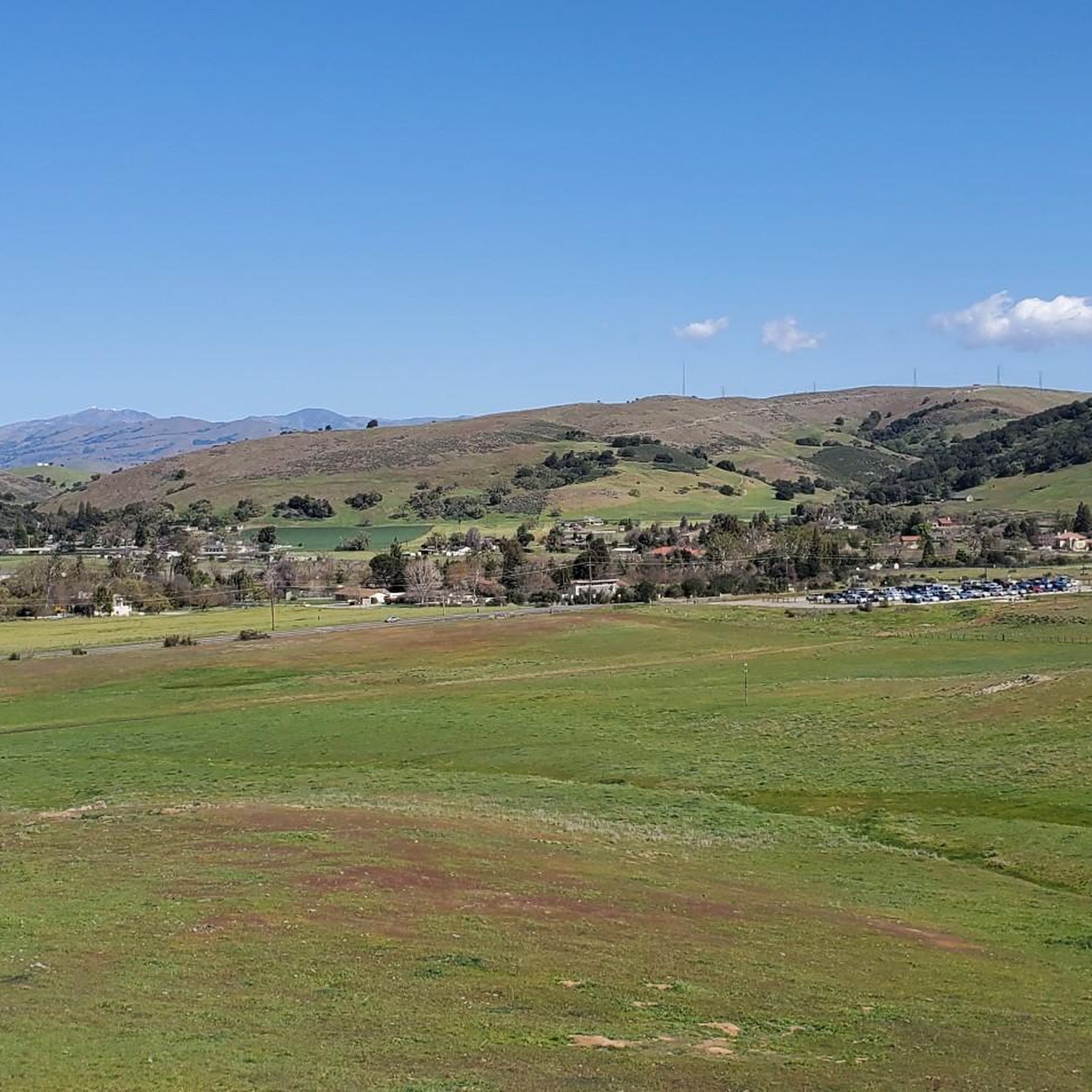
This is a beautiful spot just north of Morgan Hill. In the east you have farms and flat country roads, and in the west there is more mountainous open space preserves.
0
0
Rancho San Vicente Open Space Trailhead is a nice place to take a break on a run and use the restroom or enjoy the views of nature. There are plenty of trails that you could extend your run onto in the area with most of them being well marked and pretty smooth.
0
0

Uvas Creek was dammed in 1957 to create this reservoir, which is used to provide water for the residents and industry in the area. The reservoir and surrounding area form the Uvas Reservoir County Park.
0
0
Frequently Asked Questions
Why is Mount Chual Open Space Preserve mentioned as a 'Closed Area' for road cycling?
The guide refers to routes situated within the broader Santa Clara County area, which encompasses the Mount Chual Open Space Preserve. While the preserve itself may have specific access restrictions or closures for certain activities, the routes highlighted are accessible road cycling paths in the surrounding region, often starting from nearby open space preserve entrances like Rancho Cañada del Oro.
What kind of terrain can I expect on road cycling routes in this region?
The terrain primarily features rolling hills and varied elevations, offering a mix of moderate climbs and descents. You'll find routes traversing alongside bodies of water, such as the Calero and Chesbro Reservoirs, and through undeveloped open space landscapes.
Are there any long-distance road cycling loops available?
Yes, for those seeking a longer challenge, the Calero Reservoir – Old Santa Cruz Highway loop from Rancho Cañada del Oro Open Space Preserve Entrance is a difficult 102.5-mile (165.0 km) path with significant elevation gain, traversing varied landscapes towards the Old Santa Cruz Highway.
What are some moderate road cycling options in the area?
Several moderate routes are popular, including the Calero Reservoir – View of Chesbro Reservoir loop from Rancho Cañada del Oro Open Space Preserve Entrance, which is 41.8 miles (67.2 km) and offers views of both reservoirs. Another option is the Calero County Park to Uvas Canyon County Park loop, a 39.7-mile (63.9 km) trail.
When is the best time of year for road biking in the San Francisco Peninsula area?
The San Francisco Peninsula generally offers pleasant cycling conditions year-round, but spring and fall often provide the most comfortable temperatures and clearer skies. Summers can be warm, especially inland, while winters are mild but may bring rain.
Are there any scenic routes with good views?
Many routes offer scenic views, particularly those that pass by the reservoirs. For example, the Calero Reservoir – View of Chesbro Reservoir loop provides excellent vistas of both Calero and Chesbro Reservoirs.
Where can I find parking for these road cycling routes?
Many of the routes mentioned, such as those starting from Rancho Cañada del Oro Open Space Preserve Entrance or Calero County Park, typically have designated parking areas available for visitors. It's advisable to check specific park websites for detailed parking information before your visit.
What do other road cyclists enjoy most about this region?
The area is highly rated by the komoot community, with an average score of 4.6 stars. Reviewers often praise the beautiful reservoir views, the challenge of the rolling hills, and the natural, open space landscapes that define the cycling experience here.
Are there any routes that pass by Uvas Reservoir?
Yes, the Calero County Park to Uvas Reservoir loop is a moderate 55-mile (88.7 km) route that takes you towards Uvas Reservoir, offering a different scenic perspective of the region.
How many road cycling routes are featured in this guide?
This guide features 6 distinct road cycling routes, ranging from moderate to difficult, providing a variety of options for different skill levels and preferences.
Are there alternatives to Mount Chual Open Space Preserve for road cyclists if I'm looking for different starting points?
Yes, many routes in the guide start from other accessible points in Santa Clara County, such as Rancho Cañada del Oro Open Space Preserve Entrance or Calero County Park. These locations offer excellent access to the region's road cycling network, providing diverse starting options.
Most popular routes in Mount Chual Open Space Preserve (Closed Area)

Get inspired with the komoot mobile app


Explore more
Browse the best Road cycling routes in other regions.
