The best road cycling routes in Wildwood Canyon State Park
82
riders
9
rides
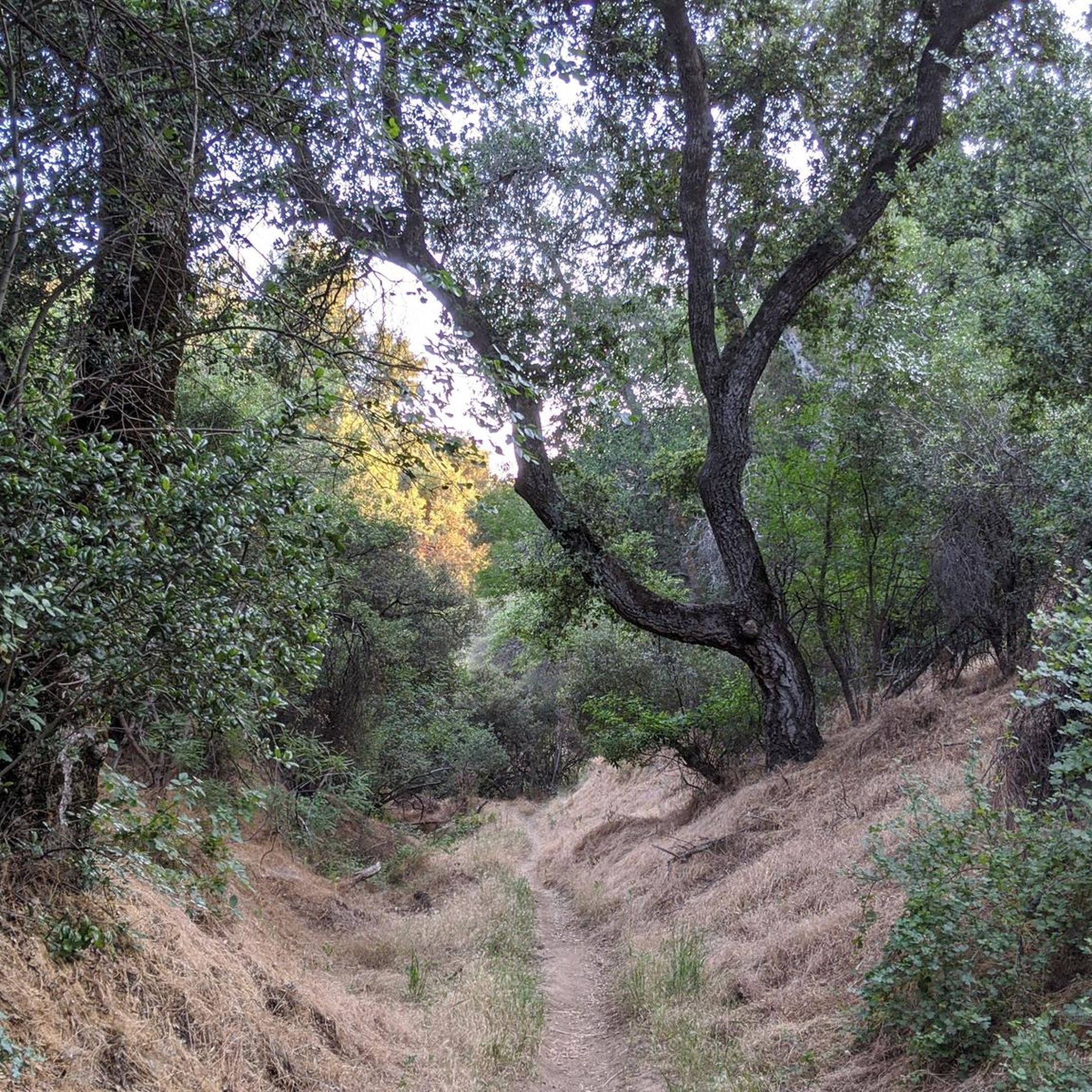
Road cycling routes in Wildwood Canyon State Park traverse the eastern foothills of the San Bernardino Mountains, offering diverse landscapes. The region features broad grasslands, centuries-old interior live oak woodlands, and deep canyons. Road cyclists can experience panoramic views of surrounding hills and valleys, with routes often starting from nearby Yucaipa. The geological features include ancient metamorphic rocks, contributing to varied terrain.
Best road cycling routes in Wildwood Canyon State Park
- The most popular road cycling route is Caroline Park…
Last updated: July 13, 2026
4
riders
45.2km
02:18
620m
610m
Moderate road ride. Good fitness required. Mostly well-paved surfaces and easy to ride.
17
riders
172km
09:10
3,110m
3,110m
Hard road ride. Very good fitness required. Mostly well-paved surfaces and easy to ride.

Sign up for free
2
riders
64.3km
03:22
790m
790m
Moderate road ride. Good fitness required. Mostly well-paved surfaces and easy to ride.
60.7km
03:29
1,010m
1,010m
Hard road ride. Very good fitness required. Mostly well-paved surfaces and easy to ride.
6
riders
33.6km
01:57
770m
770m
Moderate road ride. Good fitness required. Mostly well-paved surfaces and easy to ride.
Get access to more routes and recommendations from other explorers.
Sign up for free
Already have an account?
Our route recommendations are based on thousands of hikes, rides, and runs completed by other people on komoot.
Start today with a free account
Your next adventure awaits.
Login or Signup
Popular around Wildwood Canyon State Park


Tips from the Community

From this bridge, you can enjoy a privileged view of Big Bear Lake, nestled between mountains. You'll be treated to panoramic views of the sparkling lake, surrounded by pine forests and rugged peaks. You can refuel in Big Bear Village or pack a picnic to enjoy by the lakeshore.
1
0
One of the streets in Yucaipa where you can enjoy a smooth ride with views of the mountains. The route is mostly flat and passes through a residential area, so it’s not so busy.
0
0

If you're heading up to Onyx Summit, this stretch of CA 38 boasts the second longest bike climb in California. The ascent takes you through an alpine setting, one of the routes to the popular Bear Mountain Ski Resort. It's challenging, but the breathtaking views make it worthwhile. If you're coming from Onyx, enjoy the ride down from this scenic stretch as you descend.
0
0
If you are coming from Big Bear Lake, you will ascend towards Onyx Summit. Conversely, if you are coming from Onyx Summit, you will descend. This stretch of CA 38 features alpine-covered roads, with a total elevation gain of 1,617 feet or descent if you are heading the other way. At 30.4 miles, Onyx Summit is the second longest ascent for cyclists in California and the eighth longest in the US.
0
0
The Rim of the World Scenic Byway stretches 110 miles through the San Bernardino Mountains. This route, also known as North Shore Drive, hugs Big Bear Lake and offers stunning views along cliffs and rolling hills. It's a great road for cycling, featuring both challenging terrain and flat stretches suitable for cyclists of all skill levels.
0
0

Yucaipa Regional Park, beyond a day at the beach, is a treasure trove of adventure, history, and natural wonders. With diverse terrain and breathtaking scenery, it promises an unforgettable biking adventure for all. Grab your bike, dust off your helmet, and experience the exhilarating world of Yucaipa's singletrack trails!
1
0

Caroline Park is a tiny hidden gem, nestled in the hills between large, attractive homes in Redlands, California. This scenic park is a local favorite and a great place to check out after work. There are hiking trails, native wildflowers and other plants in the spring, and plenty of wildlife (birds in particular!) viewing opportunities here.
2
0

Onyx Summit is a mountain pass in the San Bernardino Mountains. It sits at an elevation of 8,443 ft. (2,573 m) above sea level and is the highest paved pass in Southern California. It's on State Route 38, which traverses it at post marker mile 39.37.
0
0
Frequently Asked Questions
Is Wildwood Canyon State Park suitable for road cycling?
While Wildwood Canyon State Park itself is primarily known for hiking, mountain biking, and horseback riding on dirt and gravel trails, the surrounding region, particularly starting from nearby Yucaipa, offers a variety of road cycling routes. The park's trails are not specifically geared towards road cycling.
How many road cycling routes are available in the Wildwood Canyon State Park area?
There are 10 road cycling routes available in the Wildwood Canyon State Park area, ranging from moderate to difficult. These routes often start from nearby communities like Yucaipa and explore the broader regional landscape.
What are some popular road cycling routes near Wildwood Canyon State Park?
A popular moderate route is the Caroline Park loop from Yucaipa, covering 28.1 miles. For a more challenging ride, the Onyx Summit – Big Bear Lake loop from Yucaipa is a difficult 106.6-mile path with significant elevation gain.
Are there any family-friendly road cycling options in the Wildwood Canyon State Park region?
While the park's internal trails are not suitable for road cycling, the broader area around Wildwood Canyon State Park offers routes with varying difficulty. For family-friendly options, it's best to look for routes described as 'moderate' or 'easy' on komoot, focusing on less trafficked roads outside the immediate park boundaries. The guide lists 5 moderate routes that might be suitable depending on your family's experience.
What kind of terrain can I expect on road cycling routes in this region?
Road cycling in the Wildwood Canyon State Park region is characterized by rolling hills, oak woodlands, and open grasslands. Routes often feature panoramic views of surrounding hills and valleys, with some paths including significant elevation changes as they traverse the eastern foothills of the San Bernardino Mountains.
Where can I park when road cycling near Wildwood Canyon State Park?
Many road cycling routes in the area, such as the Caroline Park loop or the Onyx Summit – Big Bear Lake loop, start from Yucaipa. You would typically find parking in public areas or designated parking lots within Yucaipa, rather than directly within Wildwood Canyon State Park itself, as the park is not designed for road cycling access.
Can I reach road cycling routes near Wildwood Canyon State Park using public transport?
Public transport options directly to the starting points of road cycling routes in the Wildwood Canyon State Park area may be limited. Most routes originate from Yucaipa, so checking local bus services (e.g., Omnitrans) for connections to Yucaipa would be the best approach. However, direct access to trailheads within the park via public transport is generally not available.
What are the best times of year for road cycling in the Wildwood Canyon State Park area?
The region generally experiences mild winters and hot summers. Spring and fall offer the most pleasant conditions for road cycling, with comfortable temperatures and often clear skies. Summer rides might require early starts to avoid the heat, while winter can be enjoyable on sunny days, though some higher elevation routes might be colder.
Are there any loop road cycling routes available?
Yes, several loop routes are available. Examples include the moderate Caroline Park loop from Yucaipa and the Yucaipa to Highland via Sunset Drive South loop. For a more challenging option, consider the difficult Onyx Summit – Big Bear Lake loop from Yucaipa.
What kind of wildlife might I encounter while cycling in the region?
The Wildwood Canyon State Park area is home to diverse wildlife. While road cycling, you might spot mule deer, various bird species (as the park is part of the Pacific Flyway), and smaller mammals. Keep an eye out for bobcats, gray foxes, and coyotes, especially during dawn or dusk. Always maintain a respectful distance from any wildlife.
Are dogs allowed on road cycling routes near Wildwood Canyon State Park?
The specific dog policies vary depending on the exact road or trail. Within Wildwood Canyon State Park itself, dogs are generally permitted on trails but must be on a leash. When cycling on public roads outside the park, local leash laws and regulations apply. Always ensure your dog is safe and does not interfere with traffic or other users.
Where can I find cafes or places to eat near the cycling routes?
The primary starting point for many routes is Yucaipa. You will find a variety of cafes, restaurants, and pubs in Yucaipa where you can refuel before or after your ride. Options are more limited once you are out on the routes in the more rural areas surrounding the park.

Get inspired with the komoot mobile app


Explore more
Browse the best Road cycling routes in other regions.
