The best road cycling routes in Chino Hills State Park
4.3
(17)
2,191
riders
66
rides
If you've ever tried to plan road cycling in Chino Hills State Park, you know how overwhelming the options can be. With so many trails and routes, it's hard to tell which ones are genuinely worth your effort and which are just filler. That's where we come in: our komoot community has mapped, ridden, and reviewed these routes, so we've done the groundwork to bring you a curated shortlist of the best road cycling in Chino Hills State Park, saving…
Last updated: May 30, 2026
8
riders
Moderate road ride. Good fitness required. Some segments of this route may be unpaved and difficult to ride.
9
riders
This road cycling loop offers a diverse ride, blending the well-maintained paths of the Santa Ana River Trail with the elevated vistas near Mountain Gate Park. You'll pedal past the…

Sign up for free
3
riders
Easy road ride. Great for any fitness level. Mostly well-paved surfaces and easy to ride.
4
riders
Moderate road ride. Good fitness required. Mostly well-paved surfaces and easy to ride.
17
riders
27.0km
01:09
150m
150m
The Roadbike loop from BAPS Shri Swaminarayan Mandir offers a distinctive cycling experience, blending the open road with a truly spectacular cultural landmark. As you pedal through Central Jersey's suburban…
Get access to more routes and recommendations from other explorers.
Sign up for free
Already have an account?
Our route recommendations are based on thousands of hikes, rides, and runs completed by other people on komoot.
Start today with a free account
Your next adventure awaits.
Login or Signup
Tips from the Community

Bring plenty of water. There only are water fountains midway in Anaheim.
0
0

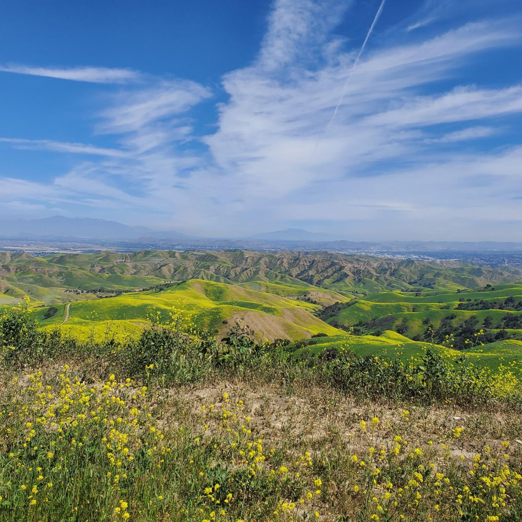
This view of Sierra Peak showcases one of the highest and most easily identifiable peaks in northern Orange County. It stands at 3,045 feet above sea level.
1
0

Nice wooden bridge along the Santa Ana River Trail. It takes you over the river and gives you a good view of the water.
1
0

Excellent coffee stop along the Santa Ana River Trail! Good burrito selection and great coffee menu. A perfect pit stop to refuel during a long ride along the river!
0
0

Set along the edge of the Santa Ana Canyon this park offers visitors a variety of amenities such as sports fields, picnic & BBQ areas, fishing, playgrounds, and more. The Santa Ana Trail runs along the edge of the park and allows you to access other nearby areas as well.
0
0

Carbon Canyon Regional Park is a great local park with a small lake and some nature trails featuring redwoods and the Carbon Canyon Creek. It connects to Chino Hills State Park.
0
0

There is lots of parking here, and as you head away from the highway you have access to the paved two-lane Santa Ana River trail which stretches (nearly) all the way from San Bernardino to the Pacific Ocean. If you head west along the river trail you will come to Coal Canyon and can access the trails south of the highway.
1
0
This campground has 20 sites, including pull-through parking for medium-sized RVs, group camp sites, and horse camp sites. There are flush toilets, free showers, picnic benches, food hooks, and fire pits at each site. Please be sure to check local fire restrictions before making a campfire.
0
0
Frequently Asked Questions
How many road cycling routes are available in Chino Hills State Park?
Chino Hills State Park offers a wide selection of road cycling routes, with over 50 options available on komoot. These routes cater to various skill levels, including easy, moderate, and some more challenging rides.
What kind of terrain can I expect on road cycling routes in Chino Hills State Park?
The park is characterized by rolling, grassy hills and valleys, dotted with oaks and sycamores. While many trails are multi-use and can be unpaved, some sections are suitable for road cycling, particularly those described as wide and smooth. Expect gentle ascents and descents across the expansive landscape.
Are there paved road cycling options in Chino Hills State Park?
While many trails are designed for mountain biking, some routes within Chino Hills State Park feature paved or well-maintained surfaces suitable for road bikes. It's advisable to consult specific route descriptions to ensure they match your equipment and preferences.
What are some easier road cycling routes for beginners or families?
For an easier ride, consider routes like the Santa Ana River Trail Bridge – Santa Ana River loop from Yorba Linda High School, which is an easy 21.9-mile trail. Another accessible option is the Roadbike loop from BAPS Shri Swaminarayan Mandir, also rated easy, covering 16.7 miles.
Are there any challenging road cycling routes for experienced riders?
While most routes are moderate, experienced riders can find longer, more demanding options. The park's terrain includes varied elevation changes, offering a good workout. For example, the Rolling Ranch Campground loop from Rincon Park, though shorter, features significant elevation gain over its 8.5 miles, providing a good challenge.
What natural features or viewpoints can I see while road cycling?
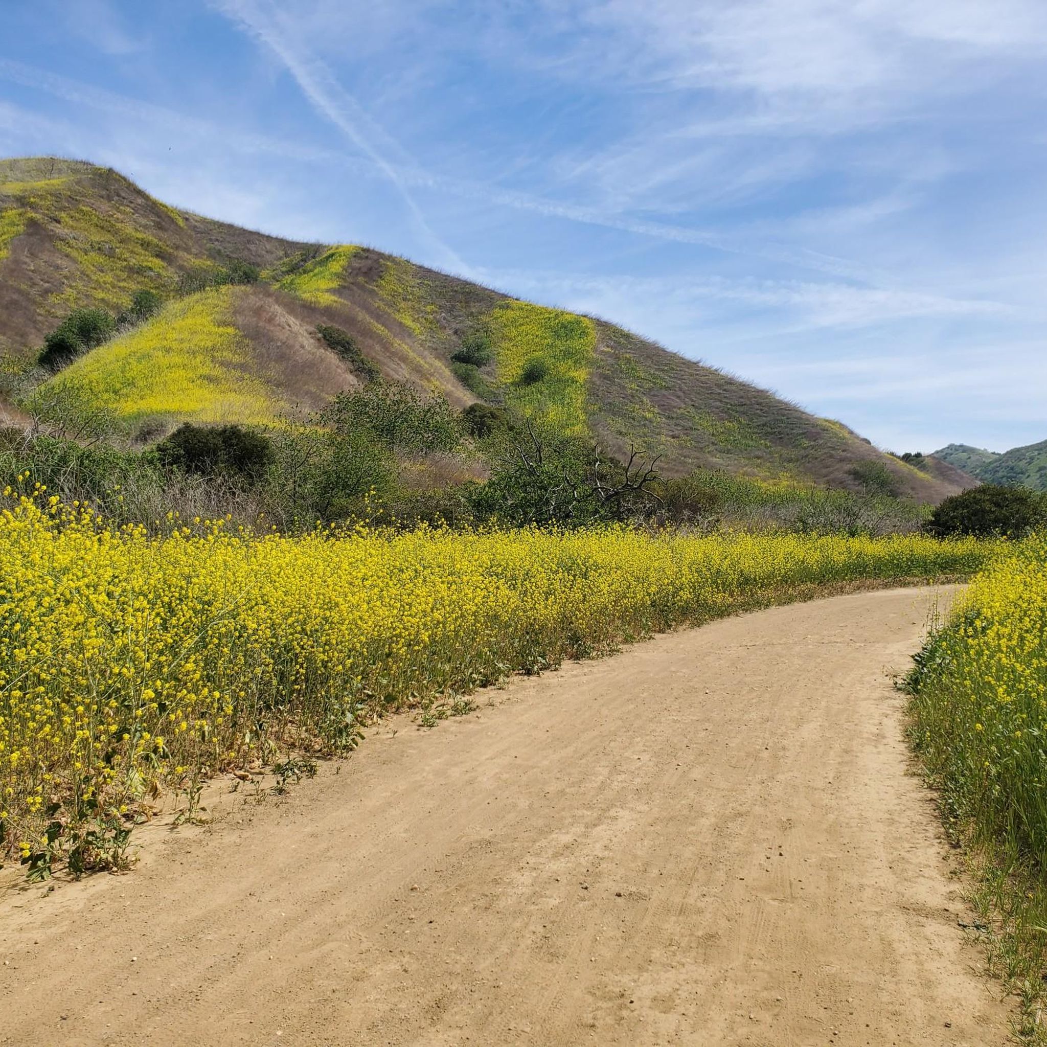
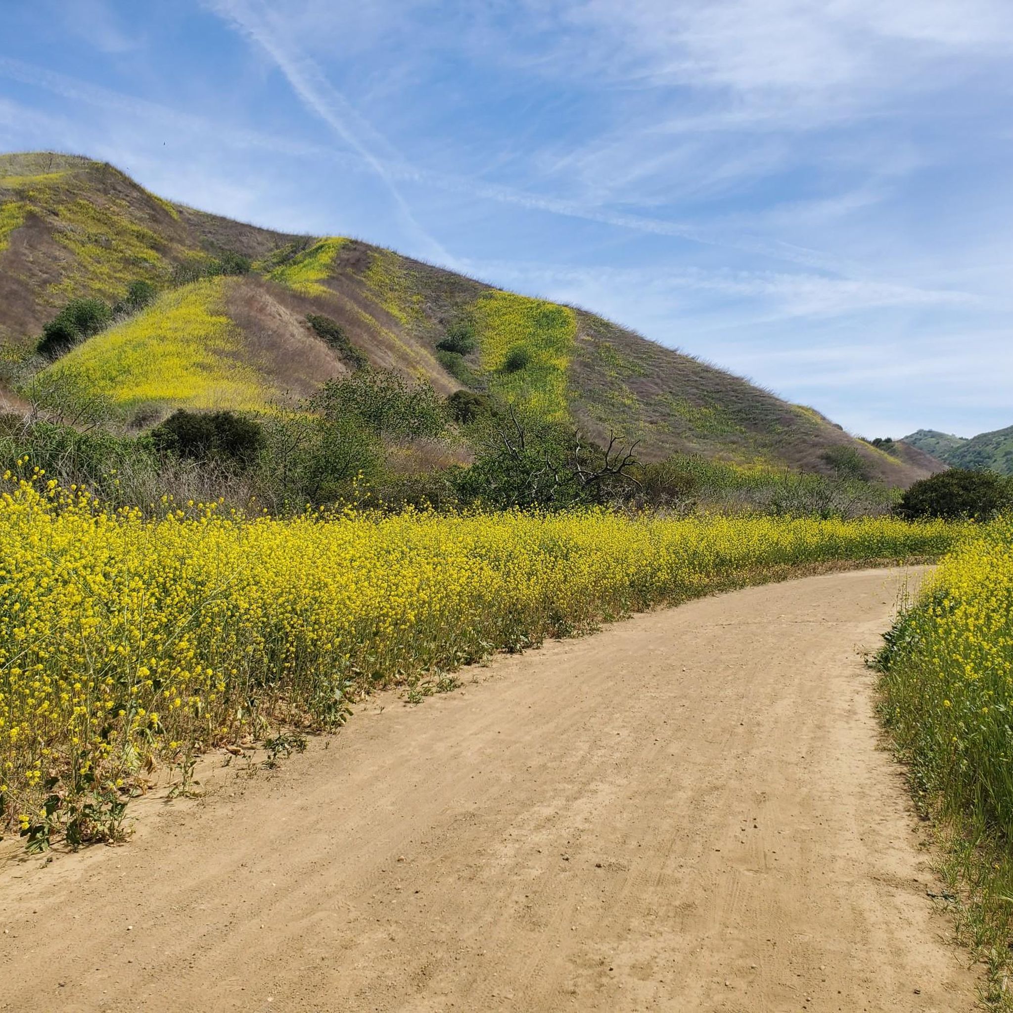
Chino Hills State Park offers stunning natural beauty. You can enjoy views of rolling hills, diverse ecosystems, and a vibrant display of wildflowers from March to May. Notable points include Gilman Peak, which offers awesome views, and the scenic Telegraph Canyon Trail. The park is also a vital wildlife corridor, so keep an eye out for local animals.
When is the best time of year to go road cycling in Chino Hills State Park?
The spring months, particularly from March to May, are highly recommended for road cycling in Chino Hills State Park. During this time, the hillsides are blanketed with wildflowers, creating a picturesque backdrop. The weather is also generally milder, making for more comfortable rides.
Where can I park when visiting Chino Hills State Park for road cycling?
The park provides various parking options. Many routes, such as the Santa Ana River Trail Bridge – Angel Stadium loop, start from designated parking areas like the Santa Ana River Trail Parking. The Discovery Center also serves as a primary visitor center and starting point, offering maps and resources.
Is public transport available to access Chino Hills State Park?
While the park is primarily accessed by car, some public transport options might get you close to the park's entrances. However, direct public transport into the park's trailheads is limited. It's best to check local transit schedules for the most up-to-date information on routes near the park.
Are there any loop road cycling routes in the park?
Yes, Chino Hills State Park features several excellent loop routes for road cyclists. A popular choice is the Roadbike loop from Santa Ana River Trail Parking, a moderate 14.6-mile path offering varied scenery. Another option is the Rolling Ranch Campground loop from Rincon Park.
What do other cyclists say about road cycling in Chino Hills State Park?
The road cycling routes in Chino Hills State Park are highly rated by the komoot community, with an average score of 4.2 stars from over 16 reviews. Cyclists often praise the park's expansive natural beauty, the feeling of solitude away from urban bustle, and the well-maintained sections suitable for road bikes.
Are there facilities like bike repair stations in or near the park?
Yes, for convenience, a bike repair station is located near the State Park entrance off Elinvar Drive. This can be helpful for any minor adjustments or repairs needed before or after your ride.
Can I find cafes or amenities near the park entrances?
While the park itself is a natural preserve, you can find cafes and other amenities in the towns surrounding Chino Hills State Park, particularly near the main entrances. It's recommended to check local listings for options along routes like Carbon Canyon Road or Sapphire Road before your visit.
Most popular routes in Chino Hills State Park
Most popular attractions in Chino Hills State Park

Get inspired with the komoot mobile app


Explore more
Browse the best Road cycling routes in other regions.
