The best road cycling routes in Santiago Oaks Regional Park
4.4
(22)
2,562
riders
29
rides
Road cycling in Santiago Oaks Regional Park offers diverse landscapes across its 1,269-acre sanctuary in east Orange, California. The region is characterized by rolling hills, oak woodlands, and the meandering Santiago Creek. Road cyclists can find routes that traverse open hills, shaded sections beneath native oaks, and connect to broader trail systems. The terrain provides varied experiences, from engaging urban rides to more challenging loops with significant elevation changes.
Best road cycling routes in Santiago Oaks Regional Park
- The most…
Last updated: September 30, 2026
4.0
(1)
55
riders
58.8km
02:42
570m
560m
Moderate road ride. Good fitness required. Mostly well-paved surfaces and easy to ride.
12
riders
65.3km
03:29
970m
970m
Hard road ride. Very good fitness required. Some segments of this route may be unpaved and difficult to ride.

37
riders
41.5km
02:00
580m
580m
Moderate road ride. Good fitness required. Mostly well-paved surfaces and easy to ride.
38
riders
Easy road ride. Great for any fitness level. Mostly well-paved surfaces and easy to ride.
3.0
(1)
227
riders
Moderate road ride. Good fitness required. Some segments of this route may be unpaved and difficult to ride.
Get access to more routes and recommendations from other explorers.
Already have an account?
Our route recommendations are based on thousands of hikes, rides, and runs completed by other people on komoot.
Start today with a free account
Your next adventure awaits.
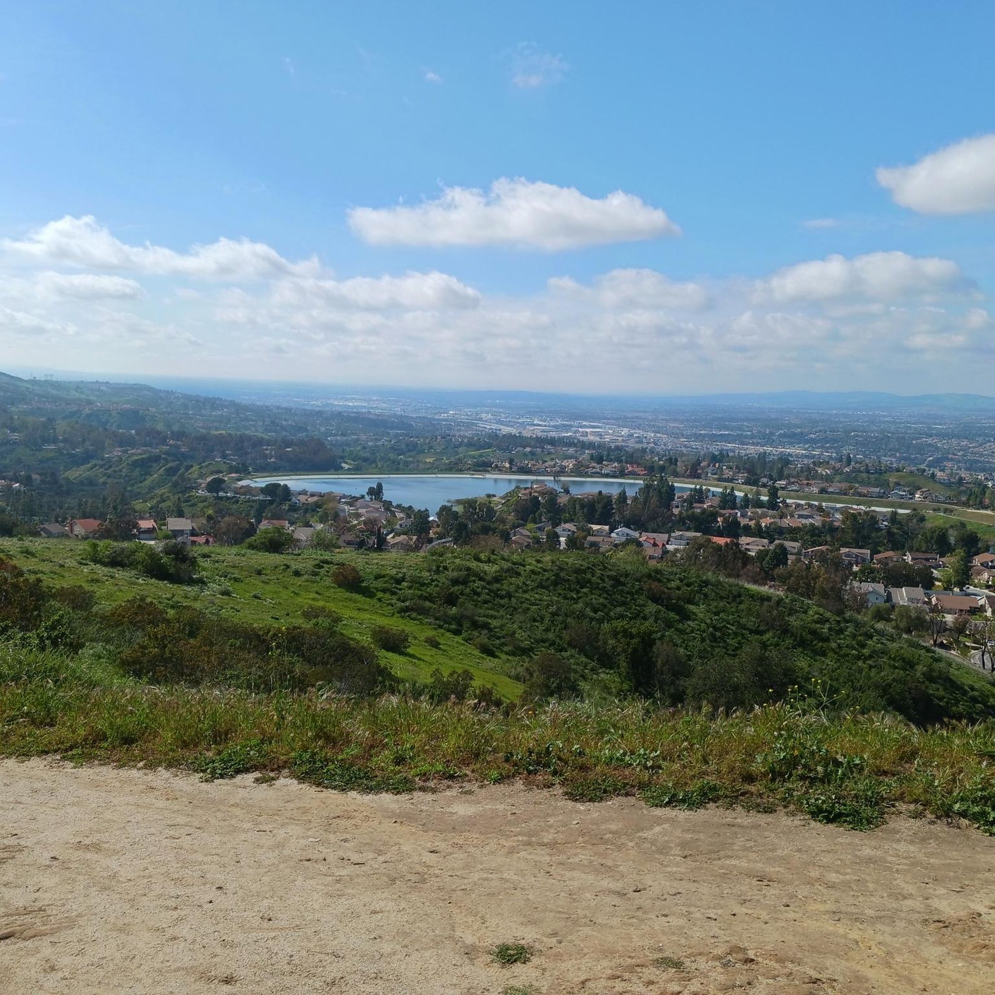

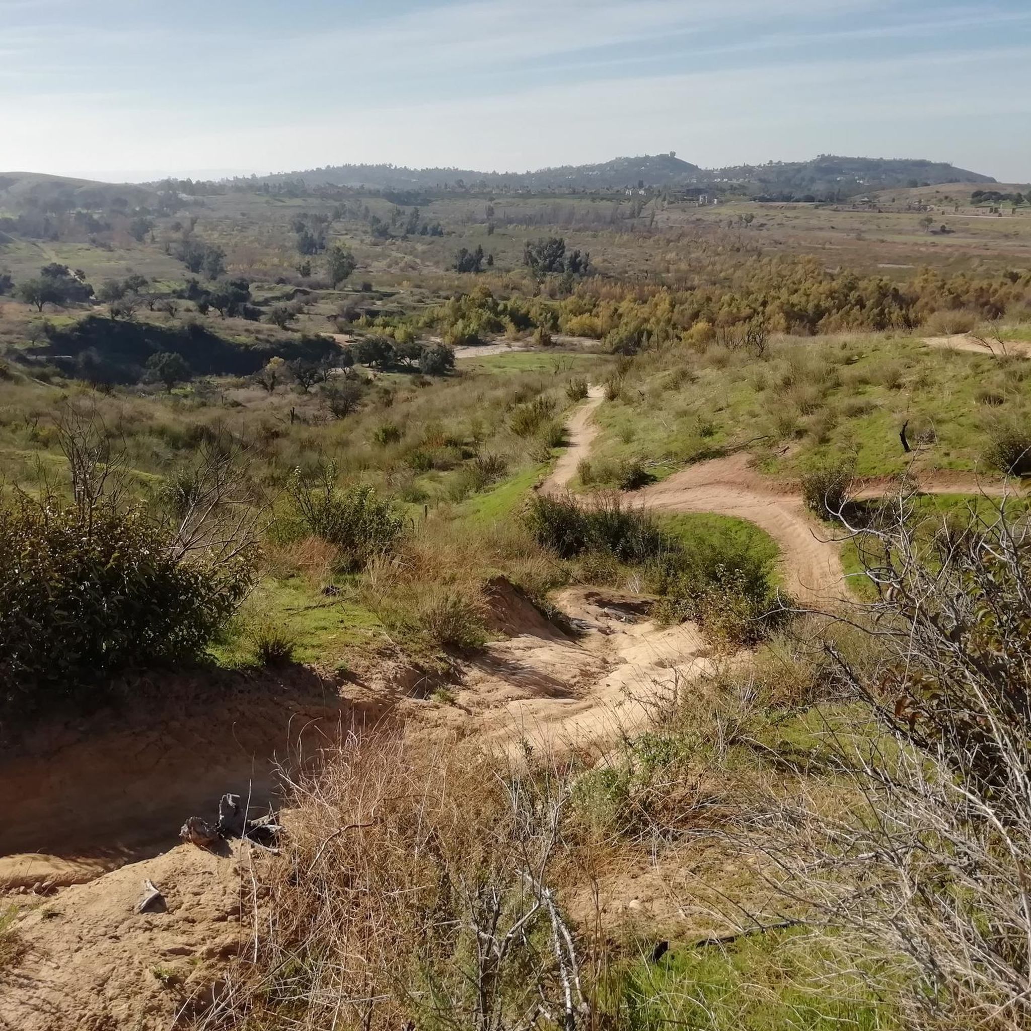
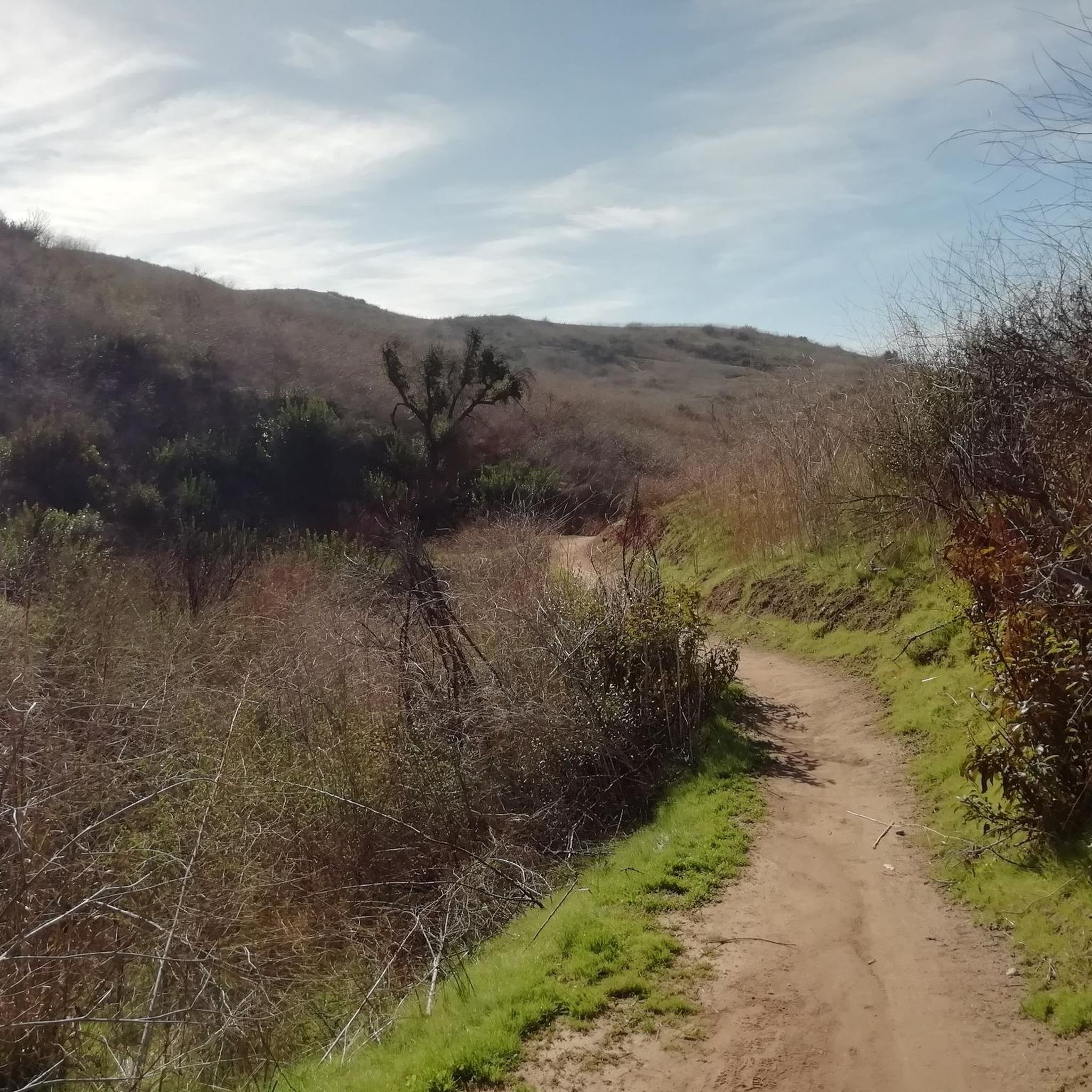

Tips from the Community

The climb from imperial to cannon is no joke but it’s a short walk to the top so bring flipflops😀.
0
0

Santiago Canyon Road is a scenic favorite for road cyclists in Orange County. It’s a long, winding stretch with rolling hills, light traffic, and wide shoulders in most parts. The views of open hills and oak trees make the climb worth it, and you’ll find classic stops along the way for a break.
0
0
Cook’s Corner is a classic stop for cyclists riding through Santiago Canyon and one of the most popular biker hangouts in Southern California. It’s casual and bike-friendly, with shaded picnic tables and plenty of space to park. Grab a burger or a cold drink, rest your legs, and soak in the lively atmosphere—especially on weekends when it’s packed with motorcycles and live music.
0
0

Bring plenty of water. There only are water fountains midway in Anaheim.
0
0

This view of Sierra Peak showcases one of the highest and most easily identifiable peaks in northern Orange County. It stands at 3,045 feet above sea level.
1
0

Nice wooden bridge along the Santa Ana River Trail. It takes you over the river and gives you a good view of the water.
1
0
Angel Stadium of Anaheim is the home of the Los Angeles Angels of Anaheim. The Santa Ana River Trail passes right by the stadium, so you get a great view. As you can imagine, it can get pretty busy on the trail on a game day.
1
0
Bike along the Santa Ana River Trail for a fantastic view of Angel Stadium’s iconic “Big A” sign, a 230-foot-tall landmark that originally served as the stadium's scoreboard. The halo atop the sign lights up after every Angels victory, glowing even brighter for home wins. Be sure to avoid the surrounding streets on game days, as the area can get crowded.
1
0
Frequently Asked Questions
What types of road cycling routes can I find in Santiago Oaks Regional Park?
Santiago Oaks Regional Park offers a diverse range of road cycling experiences. You'll find routes traversing rolling hills, shaded sections beneath native oaks, and paths alongside Santiago Creek. The terrain varies from engaging urban rides to more challenging loops with significant elevation changes, catering to different skill levels.
Are there road cycling routes suitable for families in Santiago Oaks Regional Park?
Yes, the park offers family-friendly options, particularly along the Santiago Creek Bike Trail. This paved route provides a well-maintained surface and shaded sections, making it suitable for a more relaxed ride. For an easy loop, consider the Santiago Creek Bike Trail – Along Santiago Creek loop from Orange Park Acres, which is just under 17.5 km with minimal elevation gain.
What are some of the natural features I can expect to see while road cycling in the park?
As you cycle through Santiago Oaks Regional Park, you'll encounter a rich variety of natural landscapes. These include mountain vistas, an historic orange grove, meandering Santiago Creek, and mature oak woodlands. The park also features coastal sage scrub and grassland habitats, offering a true 'nature lover's paradise'.
Are there any challenging road cycling routes for experienced riders?
Absolutely. For experienced road cyclists seeking a challenge, the park and its connections offer routes with substantial elevation gain. A notable difficult route is the Upper Peters Canyon Reservoir – Lower Peters Canyon Reservoir loop from Santiago Canyon College, which spans over 66 km and features nearly 1,000 meters of ascent.
What are the best times of year to go road cycling in Santiago Oaks Regional Park?
The park is enjoyable for cycling year-round, but spring and fall generally offer the most pleasant conditions with milder temperatures. Summers can be warm, so early morning or late afternoon rides are recommended. Winters are typically mild, making it a good option for cycling when other regions might be too cold.
What do other road cyclists say about their experiences in Santiago Oaks Regional Park?
The road cycling routes in Santiago Oaks Regional Park are highly rated by the komoot community, with an average score of 4.5 stars from over 30 reviews. Cyclists often praise the diverse terrain, scenic views, and the variety of routes available for different skill levels.
Are there any scenic viewpoints along the road cycling routes?
While many routes offer scenic views of the park's natural beauty, specific viewpoints like Robber's Peak and the Barham Ridge Trail viewpoint provide awe-inspiring panoramic views of Orange and the surrounding foothills. These are typically accessible via trails that may require a short detour from paved road cycling paths.
Where can I park when visiting Santiago Oaks Regional Park for road cycling?
Santiago Oaks Regional Park offers designated parking areas for visitors. Specific access points and parking availability can vary, so it's advisable to check the park's official website or signage upon arrival for the most current information regarding parking for cyclists.
Can I connect to other trail systems from Santiago Oaks Regional Park?
Yes, the park's trails connect to the broader Anaheim Hills Trail System and other regional parks like Irvine Regional Park and Weir Canyon Wilderness Park. This expands your cycling possibilities, allowing for longer and more varied rides beyond the immediate park boundaries.
Are there any historical landmarks to see while cycling in the area?
Yes, the park is home to a historic dam, originally built in 1892, which played a significant role in the area's agricultural history. Additionally, you can find an historic orange grove within the park, offering a glimpse into its past.
How many road cycling routes are available in Santiago Oaks Regional Park?
There are over 40 road cycling routes available in Santiago Oaks Regional Park and its immediate vicinity, offering a wide selection for cyclists of all abilities.
What is the longest road cycling route in the park?
One of the longest and most challenging road cycling routes is the Upper Peters Canyon Reservoir – Lower Peters Canyon Reservoir loop from Santiago Canyon College, which covers approximately 66.3 km (41.2 miles).
Most popular routes in Santiago Oaks Regional Park
Most popular attractions in Santiago Oaks Regional Park

Get inspired with the komoot mobile app


Explore more
Browse the best Road cycling routes in other regions.
