The best running trails in Sycamore Canyon Wilderness Park
5.0
(7)
263
runners
27
runs
Jogging in Sycamore Canyon Wilderness Park offers a network of routes through a landscape characterized by canyons, open wilderness, and varied terrain. The park features trails that traverse natural areas, providing opportunities for outdoor activity. Runners can expect paths that wind through the natural environment, with some routes including elevation changes. The area is known for its natural setting, making it suitable for those seeking a wilderness jogging experience.
Best jogging routes in Sycamore Canyon Wilderness Park
- The most popular jogging route is Sycamore Canyon Wilderness Park loop, a 7.9 miles (12.7 km) trail that takes 1 hour 36 minutes to complete. This difficult route offers a comprehensive tour through the park's varied landscape.
- Another top favourite among local runners is Sycamore Canyon Road – Rattlesnake Peak loop from Quail Run Open Space, a difficult 7.3 miles (11.8 km) path. This route includes ascents to Rattlesnake Peak, providing expansive views over the surrounding wilderness.
- Local runners also love the Running loop from Quail Run Open Space, a 3.8 miles (6.1 km) trail leading through open spaces and rolling terrain, often completed in about 45 minutes.
- Jogging in Sycamore Canyon Wilderness Park is defined by canyon trails, wilderness paths, and rolling hills. The network offers options for easy, moderate, and difficult routes, catering to various fitness levels.
- The routes in Sycamore Canyon Wilderness Park are highly rated by the komoot community with an average score of 5.0 stars from over 2 reviews. More than 140 runners have used komoot to explore Sycamore Canyon Wilderness Park's varied terrain.
Last updated: September 27, 2026
12.7km
01:36
340m
340m
Jog the difficult 7.9-mile Sycamore Canyon Wilderness Park loop in Riverside, gaining 1105 feet with city views and diverse terrain.
3
runners
6.57km
00:41
60m
60m
Moderate run. Good fitness required. Mostly paved surfaces. Suitable for all skill levels.

8
runners
35.5km
03:55
200m
200m
Hard run. Very good fitness required. Mostly paved surfaces. Suitable for all skill levels.
5
runners
7.50km
00:47
40m
40m
Moderate run. Good fitness required. Mostly paved surfaces. Suitable for all skill levels.
11
runners
5.63km
00:35
30m
30m
Moderate run. Good fitness required. Mostly paved surfaces. Suitable for all skill levels.
Get access to more routes and recommendations from other explorers.
Already have an account?
Our route recommendations are based on thousands of hikes, rides, and runs completed by other people on komoot.
Start today with a free account
Your next adventure awaits.
Popular around Sycamore Canyon Wilderness Park
Tips from the Community

The park is a "living museum" of citrus history in California, and has many buildings, orchards, and exhibits to explore. If you bike through the park, know there is a 15mph speed limit for cyclists in the park proper.
0
0
This road is closed to cars, and you can ride at your leisure through the orange groves and orchards of California Citrus State Historic Park.
0
0

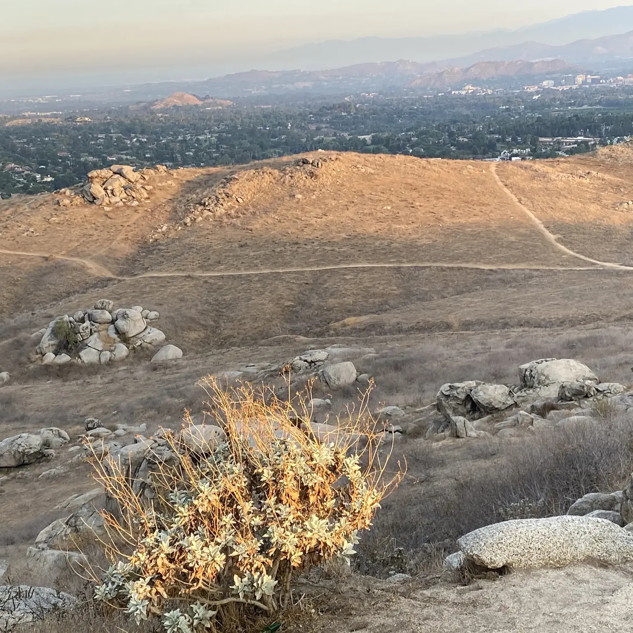
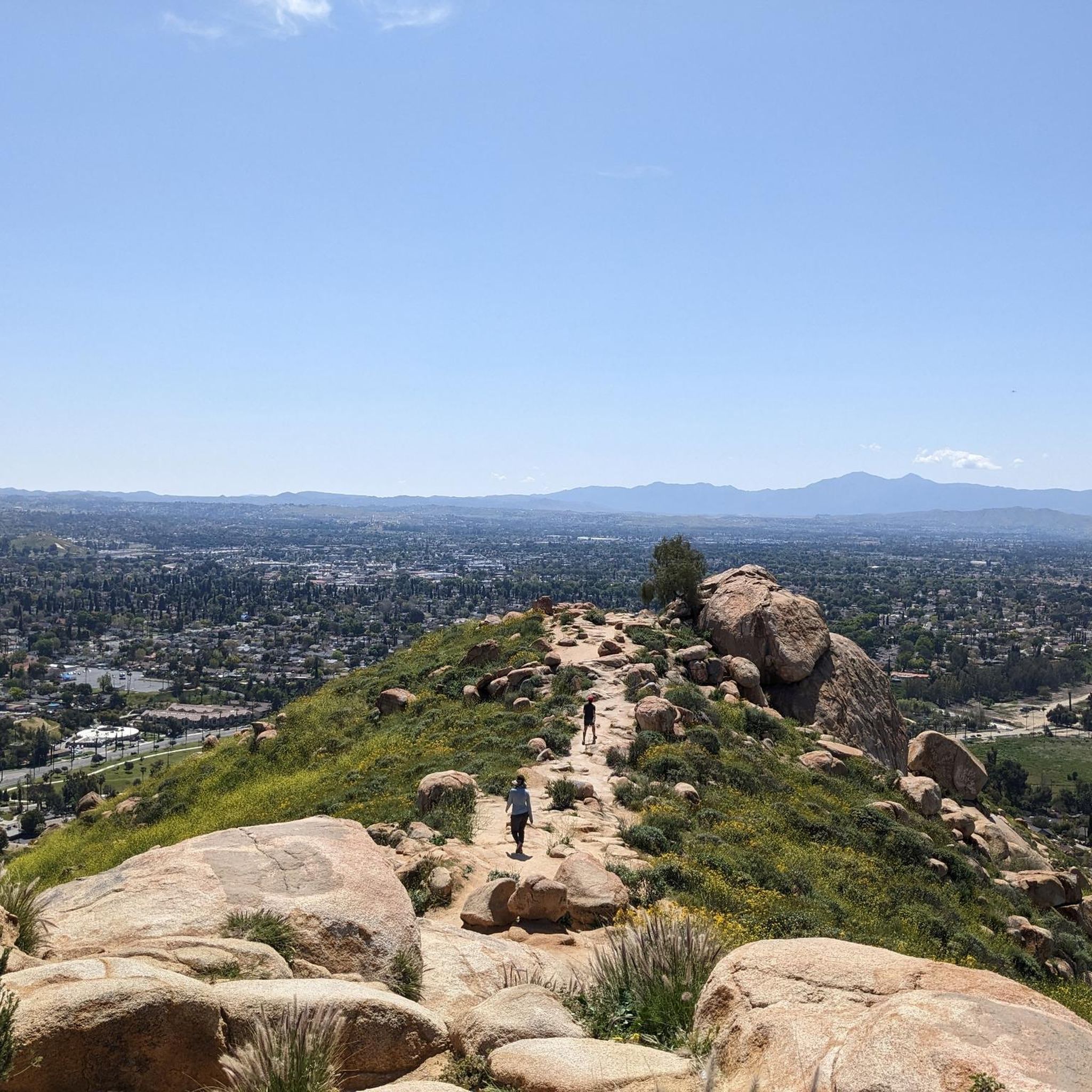
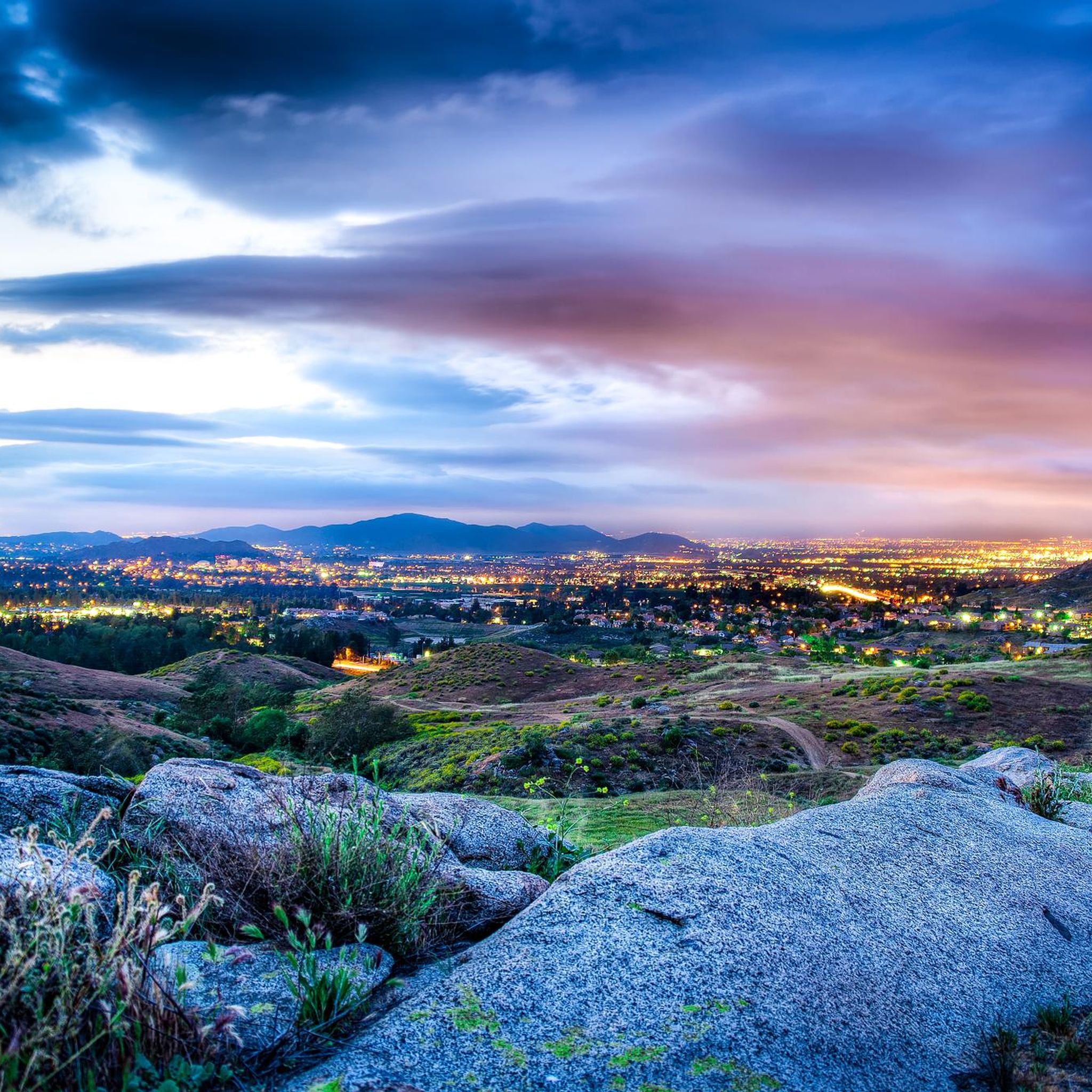
Sycamore Canyon Wilderness Park is a scenic nature preserve in Riverside that offers 1,500 acres of diverse landscapes, including hills, canyons, and native flora.
0
0

Fairmount Park in Riverside, California, is a picturesque urban oasis spanning over 200 acres. The park surrounds two large ponds, Lake Evans and Lake Fairmount, offering scenic views and recreational opportunities. Hikers can enjoy the well-maintained paths that wind through lush greenery and around the lakes.
0
0

Great historic inn and museum to visit and learn more about Riverside's history! The detailed and well preserved architecture is very much something that needs to be experienced in person.
0
0
Easy going bike path with palm trees and blossoms lining the road!
0
0

Main Gate on the North from Dufferin Ave to the Park
0
0
Road closed to cars, bikers can continue behind the gate through the citrus groves of the California Citrus State Historic Park. In the right season there is an abundance of oranges all along the orchards.
0
0
Frequently Asked Questions
How many running routes are available in Sycamore Canyon Wilderness Park?
There are over 25 running routes in Sycamore Canyon Wilderness Park, offering a range of options from easy to difficult, catering to various fitness levels and preferences.
Are there any easy jogging routes in Sycamore Canyon Wilderness Park?
Yes, while many routes feature varied terrain and elevation, there is at least one designated easy running route available. These trails typically offer a gentler experience through the park's natural setting.
What kind of terrain can I expect on the jogging trails in Sycamore Canyon Wilderness Park?
The trails in Sycamore Canyon Wilderness Park are characterized by canyons, open wilderness, and rolling hills. Runners can expect paths that wind through natural environments, often including elevation changes and varied surfaces suitable for a wilderness jogging experience.
Are there any loop running trails in Sycamore Canyon Wilderness Park?
Yes, the park features several loop trails. A popular option is the Running loop from Quail Run Open Space, which is a moderate 3.8-mile (6.1 km) trail. Another is the Running loop from Canyon Crest, a moderate 4.3-mile (6.8 km) route.
What do other runners say about the trails in Sycamore Canyon Wilderness Park?
The routes in Sycamore Canyon Wilderness Park are highly rated by the komoot community, with an average score of 5.0 stars. Runners often praise the varied landscape, the wilderness experience, and the opportunities for comprehensive tours through the park.
Are there any advanced or challenging running routes in Sycamore Canyon Wilderness Park?
Absolutely. For experienced runners seeking a challenge, routes like the Sycamore Canyon Wilderness Park loop offer a difficult 7.9-mile (12.7 km) trail with significant elevation changes. Another challenging option is the Sycamore Canyon Road – Rattlesnake Peak loop from Quail Run Open Space, which includes ascents to Rattlesnake Peak.
What is the best time of year to go jogging in Sycamore Canyon Wilderness Park?
Given its Southern California location, Sycamore Canyon Wilderness Park is generally suitable for jogging year-round. However, spring and fall offer milder temperatures, which are ideal for longer runs. Summers can be hot, so early morning or late afternoon runs are recommended during those months.
Are there any scenic running routes in Sycamore Canyon Wilderness Park?
Many routes in the park offer scenic views, particularly those that traverse canyons and ascend to higher points. The Sycamore Canyon Road – Rattlesnake Peak loop from Quail Run Open Space, for example, provides expansive views over the surrounding wilderness from Rattlesnake Peak.
What should I wear for jogging in Sycamore Canyon Wilderness Park?
Given the varied terrain and potential for elevation changes, we recommend wearing appropriate trail running shoes for good grip and support. Layered clothing is also advisable, especially during cooler mornings or evenings, as temperatures can fluctuate. Don't forget sun protection like a hat and sunscreen, and carry plenty of water.
Are there any long-distance running routes in the park?
Yes, for those looking for longer distances, the Quarry Hill loop from University of California, Riverside is a challenging 19.7-mile (31.7 km) route that provides an extensive tour through the area.
Are there any places to explore or points of interest along the running routes?
The park itself is a point of interest, known for its natural setting and wilderness character. While specific landmarks are not detailed in every route description, the varied landscape of canyons and open spaces offers a continuous natural spectacle. Many routes provide views of the surrounding wilderness, including ascents to peaks like Rattlesnake Peak.
Most popular routes in Sycamore Canyon Wilderness Park

Get inspired with the komoot mobile app


Explore more
Browse the best Running Trails & Routes in other regions.
