The best walks and hikes in William R. Mason Regional Park (Wilderness Area)
4.8
(113)
1,500
hikers
135
hikes
Hiking in William R. Mason Regional Park offers routes through a 339-acre urban park in Irvine, California. The park is divided into two sections by Culver Drive, with the eastern side containing a 123-acre wilderness area. This section features more rugged, scrub-covered terrain and unpaved trails, while the western side has manicured lawns, a 9-acre lake, and paved paths. The trails are generally flat with some small hills.
Best hiking trails in William R. Mason Regional Park (Wilderness Area)
- The most popular hiking route is French Hill loop from University Town Center, a 2.9 mile (4.7 km) trail that takes about 1 hour 20 minutes to complete. This easy hike includes a gradual ascent up French Hill.
- Another top favourite among local hiking enthusiasts is Turtle Rock and French Hill loop — Chaparral Park, a moderate 4.3 mile (6.8 km) path. The route combines paved paths and dirt trails with some elevation gain.
- Local hiking enthusiasts also love the San Joaquin Marsh Reserve via South Loop, Treehill, and Midway Trails loop — Irvine, a 2.7 mile (4.4 km) trail leading through the adjacent marsh reserve, often completed in about 1 hour 5 minutes.
- Hiking in William R. Mason Regional Park (Wilderness Area) is defined by scrub-covered hills, paved park paths, and trails around the San Joaquin Marsh. The network of routes provides options for different ability levels, from easy strolls to more moderate hikes.
- The routes in William R. Mason Regional Park (Wilderness Area) are highly rated by the komoot community with an average score of 4.8 stars from over 100 reviews. More than 1,100 hikers have used komoot to explore William R. Mason Regional Park (Wilderness Area)'s varied terrain.
Last updated: July 9, 2026
635m
00:13
50m
0m
If you're looking for a quick, easy outing, the French Hill trail offers a pleasant, brief ascent. This 0.4-mile (0.6 km) hike, rated easy, involves a modest 163 feet (50 metres) of elevation gain, leading you to the highlight known as French Hill. It's a perfect option for a short nature break, providing a quick sense of accomplishment without demanding much time or effort.
Planning your visit to French Hill is straightforward due to its short duration of around 12 minutes. This trail is suitable for a spontaneous walk, and you can likely find parking nearby. It's a great choice for families or those new to hiking, offering an accessible outdoor experience without the need for extensive preparation.
Located in the Irvine area of Orange County, California, this trail provides a convenient escape into nature. While specific historical or ecological details for this particular short route are limited, its designation as a highlight suggests it offers a notable point of interest or a pleasant view. It's a good option if you're seeking a dog friendly trail for a very short walk.
7
hikers
4.67km
01:22
130m
130m
Easy hike. Great for any fitness level. Easily-accessible paths. Suitable for all skill levels.

Sign up for free
2
hikers
1.62km
00:25
0m
0m
The South Loop Trail offers an easy hiking experience through the San Joaquin Marsh Reserve, perfect for a quick escape into nature. You will find yourself on a mostly flat path, covering a distance of 1.0 miles (1.6 km) with a minimal elevation gain of just 11 feet (3 metres). This gentle route is considered easy and can typically be completed in about 24 minutes, allowing you to enjoy the marshland atmosphere and spot local wildlife without a strenuous effort.
When planning your visit, you will find this trail is generally accessible and well-suited for a relaxing outdoor stroll. Parking is usually available near the trailhead, making it convenient to start your hike. You won't typically need any specific permits or have to pay fees to enjoy this easy route, which adds to its appeal for a spontaneous outing. Consider visiting during cooler parts of the day for the most comfortable experience.
This particular South Loop Trail stands out for its location within the San Joaquin Marsh Reserve, providing a unique opportunity to observe marshland ecosystems. As you walk, keep an eye out for various bird species and other small creatures that inhabit this natural environment. The trail's accessibility and short length make it a notable option for those seeking a peaceful connection with nature close to urban areas, offering a distinct experience from other trails sharing a similar name.
1
hikers
10.3km
02:39
50m
50m
Embark on a refreshing hike along the Mountains to Sea Trail, a moderate route spanning 6.4 miles (10.3 km). You will gain 157 feet (48 metres) over an estimated 2 hours and 38 minutes, immersing yourself in diverse natural landscapes. As you hike, you will pass through the San Joaquin Marsh Wildlife Sanctuary, where you can observe local flora and fauna. Enjoy scenic views of San Diego Creek and the expansive vistas of the Upper Newport Bay Ecological Reserve.
This trail is easily accessible, making it an excellent choice for a day hike. You will find general parking conveniently located near the trailhead, ensuring a smooth start to your adventure. Consider beginning your hike in the morning to enjoy cooler temperatures and observe more wildlife. The route is generally open year-round, but always check local conditions before you go.
The Mountains to Sea Trail offers a unique opportunity to explore a significant estuary wildlife observation area. The Upper Newport Bay Ecological Reserve is a vital habitat, providing a home for numerous bird species and other wildlife. This route highlights the importance of preserving these natural wetlands and offers a peaceful escape into nature.
5.40km
01:23
30m
10m
The San Diego Creek Trail offers an easy hiking experience through a unique blend of urban and natural landscapes. You will follow the San Diego Creek channel, enjoying pleasant waterscapes and passing through wetlands and riparian habitats. This paved, multi-use path is perfect for a relaxed walk, covering 3.4 miles (5.4 km) with a gentle elevation gain of 105 feet (32 metres). Expect to complete the route in about 1 hour and 23 minutes, making it an accessible option for a quick escape into nature. Keep an eye out for migratory birds, especially as you approach the Upper Newport Bay Nature Preserve.
Planning your visit to the San Diego Creek Trail is straightforward, as it is easily accessible and forms a key part of Irvine's extensive network of greenways. You will find amenities like rest areas, benches, and water fountains along the way for your convenience. If you plan to visit during the winter, be aware that underpasses beneath major roadways may occasionally flood during heavy rains, so it is wise to check conditions beforehand. The trail is suitable for a family outing at any time of day.
This route provides a refreshing escape with its green spaces and wildlife viewing opportunities, despite being located within a city. The trail's course along the San Diego Creek channel highlights the importance of preserving these natural corridors within urban environments. It showcases a unique ecosystem where you can observe various species in their natural setting, particularly near the San Joaquin Marsh Wildlife Sanctuary. This trail is a testament to how nature and urban development can coexist.
Get access to more routes and recommendations from other explorers.
Sign up for free
Already have an account?
Our route recommendations are based on thousands of hikes, rides, and runs completed by other people on komoot.
Start today with a free account
Your next adventure awaits.
Login or Signup
Popular around William R. Mason Regional Park (Wilderness Area)
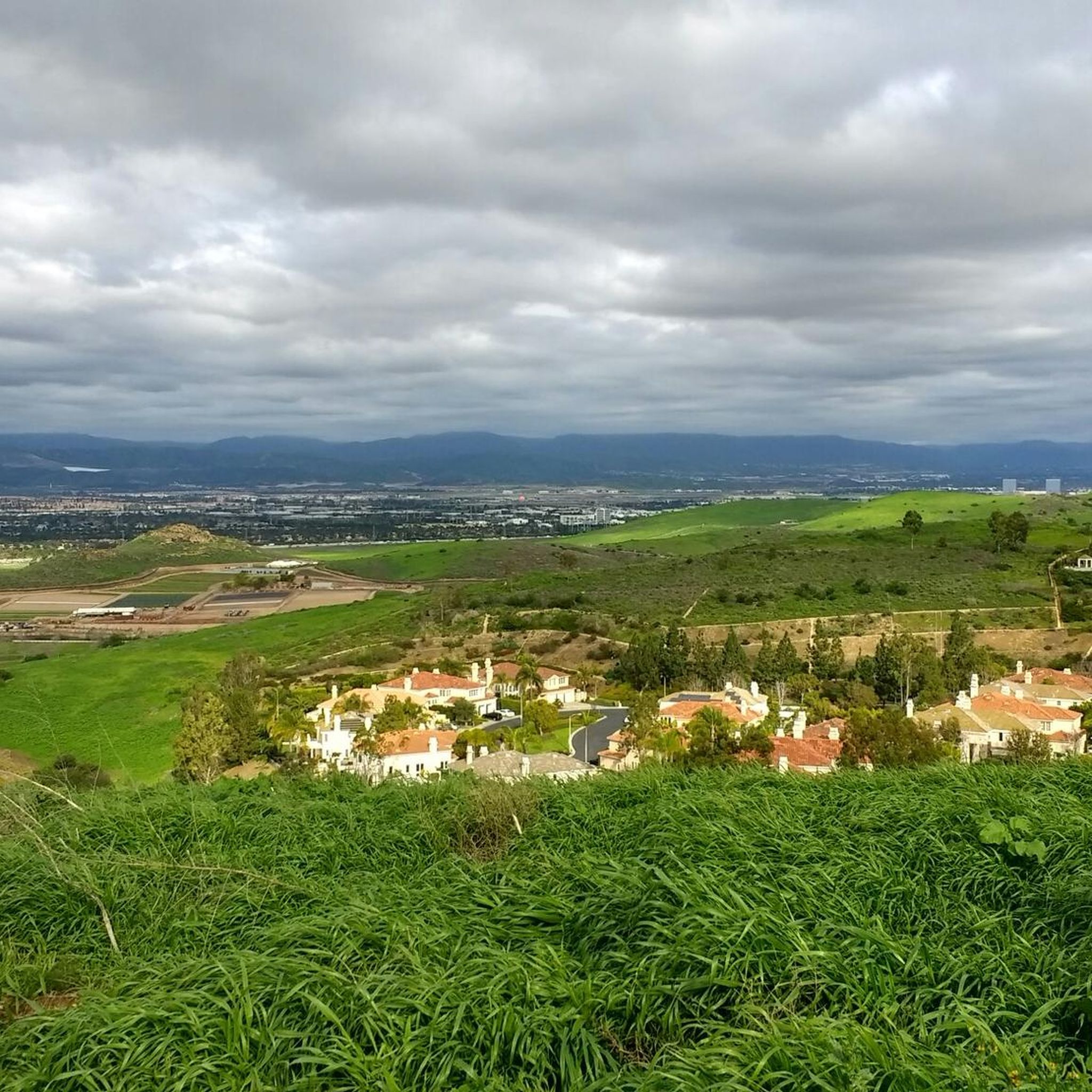
Road Cycling Routes in William R. Mason Regional Park (Wilderness Area)

MTB Trails in William R. Mason Regional Park (Wilderness Area)
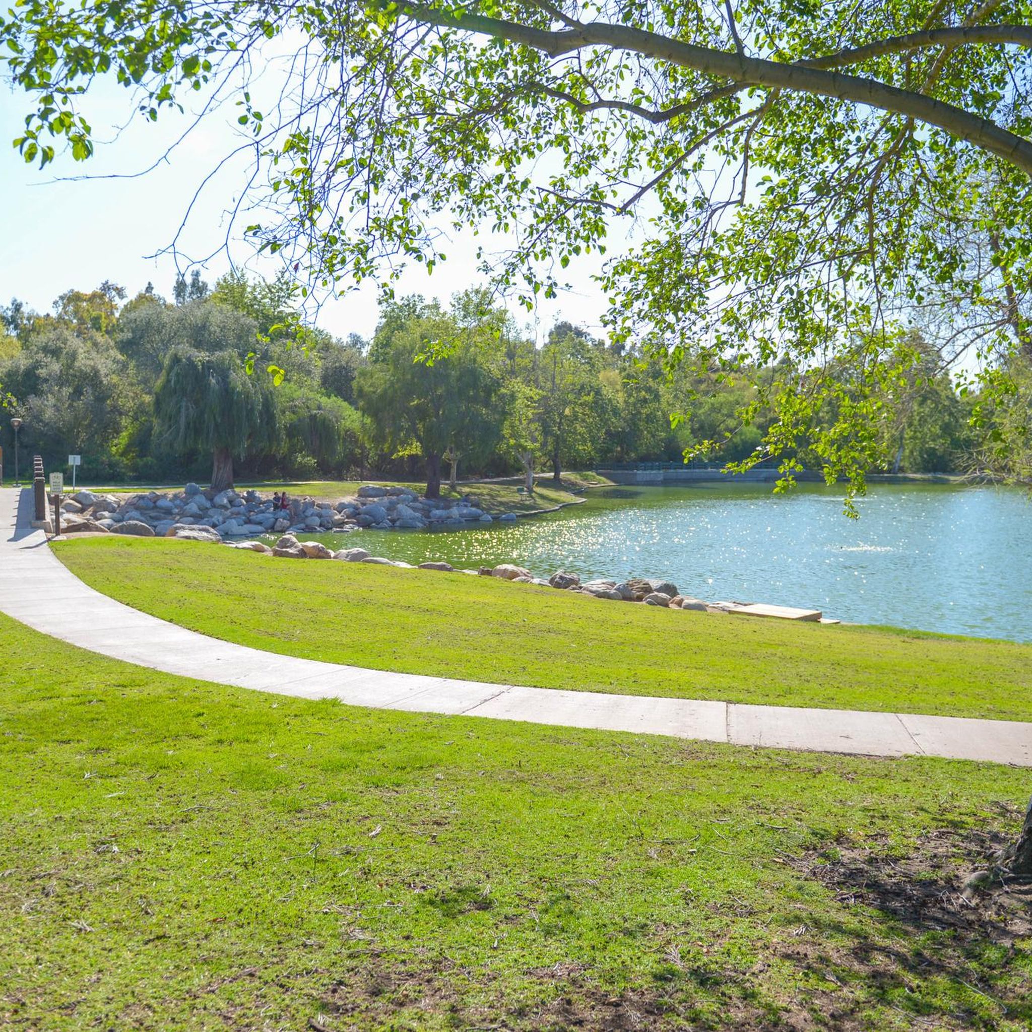
Running Trails in William R. Mason Regional Park (Wilderness Area)
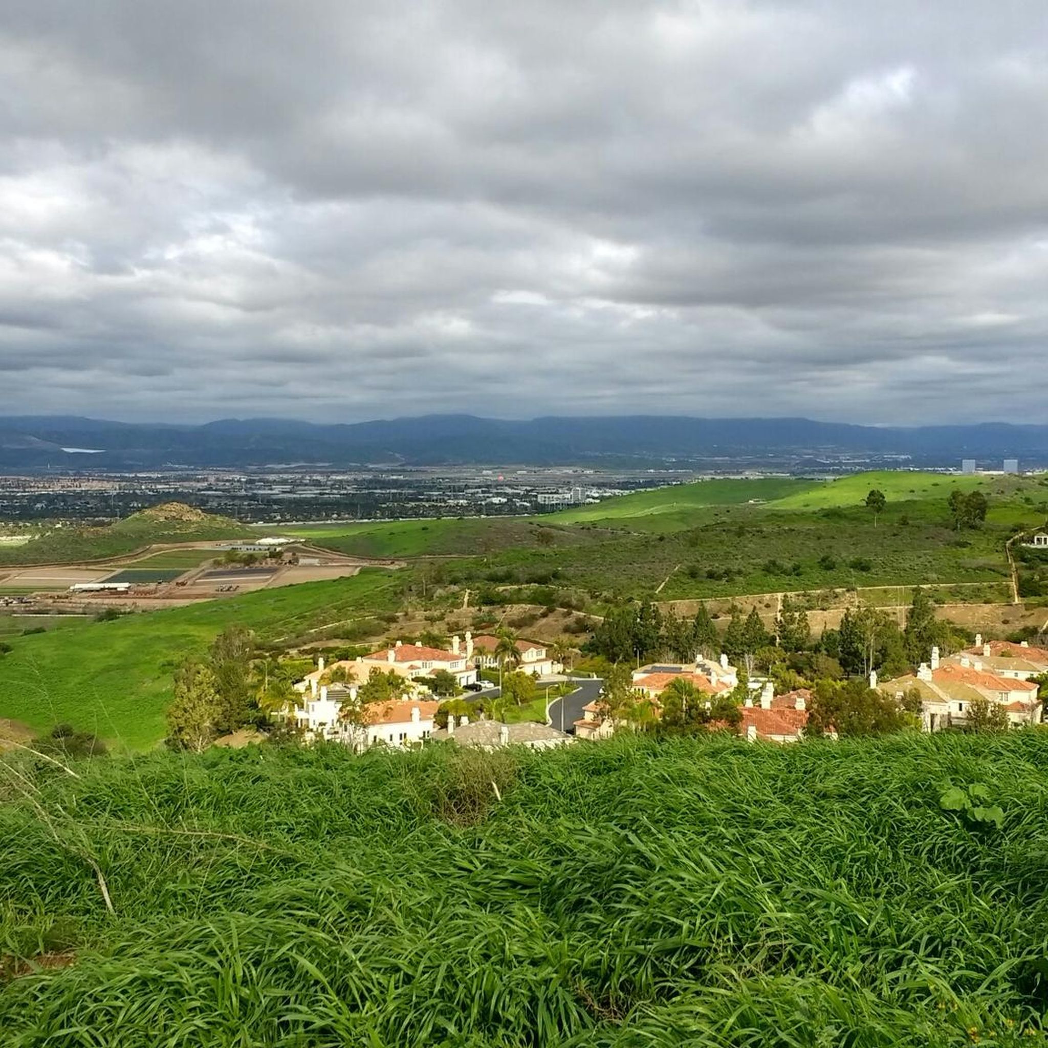
Cycling in William R. Mason Regional Park (Wilderness Area)

Gravel biking in William R. Mason Regional Park (Wilderness Area)
Tips from the Community

From this spot, you get a nice view over the Upper Newport Bay Ecological Reserve. It is one of Southern California's largest remaining coastal wetlands. This estuary comprises diverse habitats, including salt marshes, mudflats, and riparian zones, providing critical environments for numerous plant and animal species. The reserve is also a vital stopover for migratory birds along the Pacific Flyway, with up to 35,000 birds present during winter migration. It supports nearly 200 bird species, including endangered ones like the Light-footed Clapper Rail and California Least Tern.
0
0
From this viewpoint on the Mountains to Sea Trail, adjacent to Eastbluff Drive, you get a nice view over San Diego Creek. This is a great spot to pause and take in the views and look for birds and other wildlife.
1
0


Cycling along Black Bay Drive, overlooking Upper Newport Bay Ecological Reserve, unveils stunning vistas of the estuary. Riders may spot diverse bird species like egrets and herons, while enjoying panoramic views of wetlands and coastal landscapes. The reserve's rich biodiversity enhances the cycling experience with nature's beauty.
0
0

Take in some pretty sweet views across San Diego Creek along this lovely section of low traffic / no traffic MUP connecting Newport Bay to Irvine.
0
0

San Joaquin Marsh Wildlife Sanctuary, located in Irvine, encompasses 300 acres of restored coastal freshwater wetlands. A haven for birdwatchers, it hosts diverse bird species and offers educational programs.
0
0

French Hill is a small 397-foot summit with a trail starting at Turtle Rock Drive. From the top, you can get a great view of the Santa Ana Mountains and the surrounding area.
0
0
Frequently Asked Questions
Are dogs allowed on the trails in William R. Mason Regional Park?
Yes, dogs are welcome in the park, but they must be on a leash no longer than 6 feet (1.8 meters) at all times. This rule applies to both the paved paths in the main park area and the unpaved trails within the wilderness section.
What is the terrain like in the wilderness area?
The wilderness area, located on the east side of Culver Drive, features more rugged terrain compared to the rest of the park. Expect unpaved, dirt trails that wind through scrub-covered ground and along a small creek. The paths are generally considered easy, with some small hills, offering a more natural hiking experience.
Are there any easy, family-friendly trails?
Absolutely. The park is very family-friendly. For a very gentle walk, the paved paths on the west side of the park are perfect for strollers and small children. For an easy but more adventurous hike, consider the San Joaquin Marsh Reserve loop, which is mostly flat and offers great opportunities for bird watching.
Can I go trail running in the park?
Yes, William R. Mason Regional Park is a popular spot for trail running. The network of trails offers a good variety, from the flat, paved loops in the main park to the more rugged dirt paths in the 123-acre wilderness area. The varied terrain allows you to customize the difficulty of your run.
What kind of wildlife might I see while hiking?
The park is a habitat for a variety of wildlife. Around the 9-acre lake, you can often spot migrating birds and turtles. On the trails, especially in the quieter wilderness section, it's common to see rabbits, quail, and even the occasional roadrunner. The adjacent San Joaquin Marsh is a particularly rich area for bird watching.
Are there any circular or loop hikes available?
Yes, there are several excellent loop trails. A great option that is almost entirely flat is the Yale loop — Woodbridge. It's a longer walk that explores the paved paths around the area, making it a reliable choice for a straightforward outing.
How many hiking trails are in the park?
There are over 90 designated hiking routes in and around William R. Mason Regional Park. These range from short, paved walks around the lake to more moderate dirt trails that explore the surrounding hills and the adjacent San Joaquin Marsh.
What do other hikers think of the trails here?
The trails in this area are highly regarded by the komoot community, holding an average rating of 4.8 out of 5 stars. Hikers frequently praise the park's well-maintained paths, the peaceful atmosphere around the lake, and the surprising sense of wilderness so close to the city.
Are there any upcoming trail closures I should know about?
Yes, be aware of planned maintenance. Starting October 15, 2025, and lasting through spring 2026, some trails within the wilderness area will be closed for pedestrian bridge improvements. It's best to check for specific trail alerts with OC Parks before your visit during that period.
Is there a longer, more challenging hike I can do?
For those seeking a longer route, the Mountains to Sea Trail — San Joaquin Marsh Reserve is a great moderate option. This trail covers over 7 miles (12 km) and connects different parts of the local trail system, offering a more extensive exploration of the area.
Where can I park to access the trails?
There are multiple parking lots within William R. Mason Regional Park, accessible from University Drive. Parking is generally plentiful, though it can get busy on weekends. A fee is typically required for vehicle entry into the park. Street parking may be available nearby, but be sure to check local signage.
Are the trails suitable for both hiking and biking?
Yes, the park accommodates both. The western side of the park has wide, paved paths that are ideal for leisurely bike rides and strolls. The eastern wilderness area has unpaved dirt trails that are also open to mountain biking, offering a more rugged experience.
Most popular routes in William R. Mason Regional Park (Wilderness Area)

Get inspired with the komoot mobile app


Explore more
Browse the best Hikes in other regions.
