The best walks and hikes in Anza-Borrego Desert State Park
4.8
(156)
1,999
hikers
66
hikes
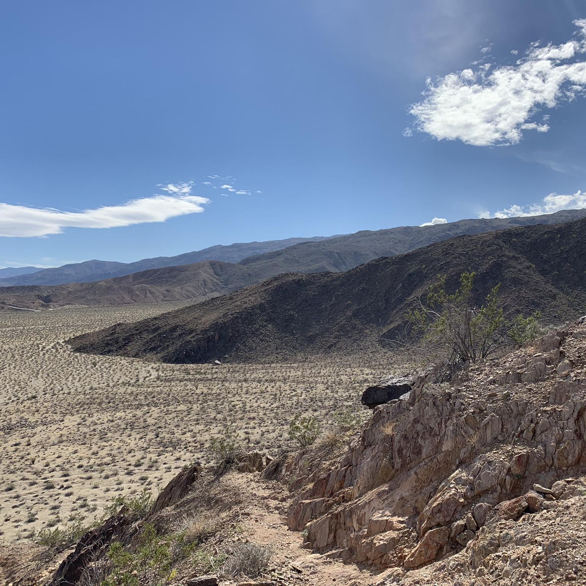
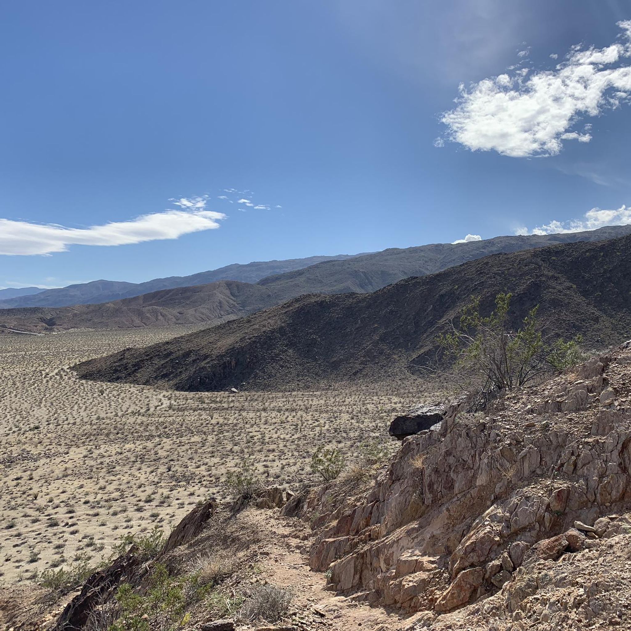
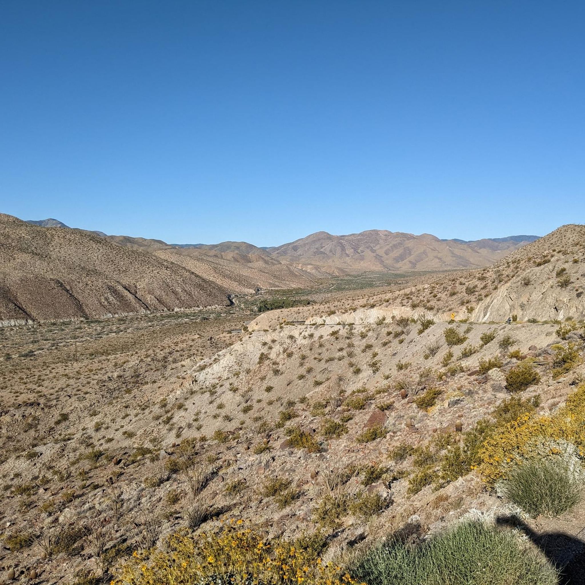
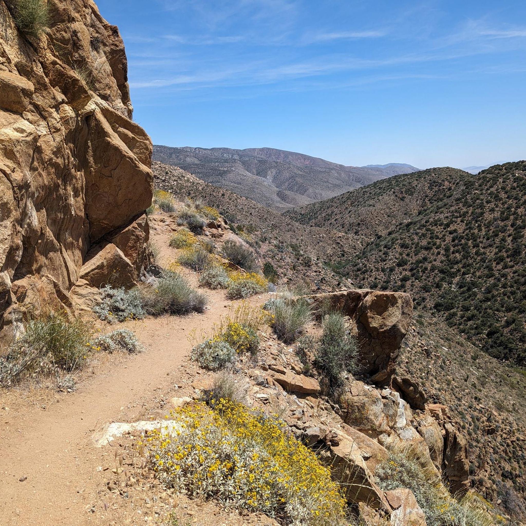
Hiking in Anza-Borrego Desert State Park explores California's largest state park, a vast desert region characterized by eroded badlands, narrow slot canyons, and contrasting palm oases. The landscape features sandy washes, rocky canyons, and ridges offering expansive views of the desert floor. The park encompasses various mountain ranges, including the Santa Rosa Mountains, providing diverse hiking environments. This varied terrain offers opportunities for different ability levels, from easy nature walks to more challenging hikes.
Best hiking trails in Anza-Borrego Desert…
Last updated: August 17, 2026
5.0
(1)
81
hikers
30.2km
08:56
1,190m
350m
This segment of the Pacific Crest Trail from Scissors Crossing to Sunrise Highway offers a raw, immersive desert hiking experience through the diverse Sonoran landscape. You'll traverse rugged terrain, from…
5.0
(5)
33
hikers
7.56km
02:13
200m
200m
Embark on a moderate hiking adventure through The Slot, Borrego Mountain Wash, and West Butte Loop, a 4.7-mile (7.6 km) journey that typically takes around 2 hours and 12 minutes…

Sign up for free
3.0
(1)
14
hikers
2.47km
00:46
140m
0m
Start your hike on the Borrego Palm Canyon Trail, a moderate route that takes you through dramatic desert-varnished canyon walls. You will cover 1.5 miles (2.5 km) and gain 449…
6
hikers
11.8km
03:20
280m
200m
Embark on the Sunrise Trailhead to Pioneer Mail Trail, a moderate hike spanning 7.3 miles (11.8 km) with an elevation gain of 910 feet (277 metres). This route offers a…
3
hikers
3.31km
00:57
90m
90m
The Mountain Palm Springs Loop offers a unique desert hiking experience, showcasing a striking contrast between arid landscapes and lush palm oases. As you navigate the 2.1-mile (3.3 km) route,…
Get access to more routes and recommendations from other explorers.
Sign up for free
Already have an account?
Our route recommendations are based on thousands of hikes, rides, and runs completed by other people on komoot.
Start today with a free account
Your next adventure awaits.
Login or Signup

Other adventures in Anza-Borrego Desert State Park

Tips from the Community


If possible, avoid midday from May to October due to the heat.
0
0

The trail to the summit winds through a ridge of shoulder-high rocky outcroppings that crown the summit of Borrego Mountain. From here you have panoramic views of the desert in every direction to the surrounding mountains, and the ridge of Borrego's East Butte stretches out across from you.
0
0
This winding sandy road takes you throat the heart of the rolling desert mountainside below Borrego Butte. The wash connects you with most of the other trails in the park. Between the dramatic canyon bluffs and the expanse of the desert, this trail is a truly remarkable sight to behold.
0
0

Super impressive! The colors are even more extreme towards the evening.
0
0

A Beautiful oasis at the end of the Boreggo Springs Palm Canyon Loop. A lush oasis where Palm Trees thrive in the desert.
0
0

This small area, one of the five groves in the region, features a stunning section of palm trees amidst a desert rocky landscape. It serves as a unique and captivating stop along the trail.
0
0

Take the main trail up and the alternate down to give you the best views
0
0
Frequently Asked Questions
When is the best time to hike in Anza-Borrego Desert State Park?
The ideal hiking season is from October to May. Winter and spring offer pleasant temperatures for exploring the desert. Spring, particularly after a wet winter, can bring spectacular wildflower blooms. Summer is extremely hot, and hiking is not recommended during the middle of the day due to dangerous heat levels.
Are there any easy, family-friendly hikes in the park?
Yes, the park has several trails suitable for families with children. For a unique experience, consider the Pictograph Trail to Smuggler's Canyon overlook. It's a relatively short walk through a sandy wash leading to ancient rock art, which can be fascinating for all ages.
What should I pack for a day hike in Anza-Borrego?
Packing correctly is crucial for safety. Always carry more water than you think you'll need—at least one gallon (4 liters) per person, per day. Also include sun protection (hat, sunscreen, sunglasses), salty snacks, a map, a first-aid kit, and sturdy hiking shoes. A headlamp is also wise, even for a day hike.
Are dogs allowed on the hiking trails?
No, dogs are not permitted on the hiking trails, in washes, or in the backcountry of Anza-Borrego Desert State Park. They are allowed in the park's campgrounds and on the paved roads, but must be on a leash no longer than six feet.
What makes the slot canyon hikes unique?
The slot canyons are narrow passages carved by water through siltstone and sandstone. Hiking through them is an immersive experience where you can touch both walls at once in some places. The towering, sculpted walls create a dramatic and photogenic environment, offering a different perspective on the desert landscape.
Are there any long-distance or backpacking trails?
Yes, a segment of the famous Pacific Crest National Scenic Trail passes through the park, offering a challenging experience for long-distance hikers. Dispersed camping is allowed throughout the park, making it a popular destination for backpackers seeking solitude.
What do other hikers think of the trails in Anza-Borrego?
The region is highly regarded by the komoot community, with an average rating of 4.9 out of 5 stars. Hikers frequently praise the park's stunning and varied landscapes, from the surprise of finding a palm oasis in a rocky canyon to the unique geology of the badlands and slot canyons.
Where can I find the best views in the park?
For some of the most spectacular panoramic views, head to Font's Point. It's often called the "Grand Canyon of Anza-Borrego" and offers breathtaking vistas over the eroded Borrego Badlands, especially at sunrise or sunset. While accessible by 4WD, it's also a rewarding destination for hikers.
Are there any hikes that lead to waterfalls?
Yes, but they are seasonal. The trail into Hellhole Canyon can lead to Maidenhair Falls, which typically flows during the winter and spring after sufficient rainfall. The hike is challenging and involves some rock scrambling.
What kind of wildlife might I see?
The park is a designated sanctuary for the Peninsular Bighorn Sheep, which you might spot on rocky hillsides. Other common wildlife includes mule deer, coyotes, roadrunners, and golden eagles. Keep an eye out for unique desert plants as well, like the ocotillo and the rare Elephant Tree.
How many hiking trails are in Anza-Borrego Desert State Park?
There are over 40 distinct hiking routes mapped on komoot, covering hundreds of miles. These range from short, interpretive nature trails to strenuous, multi-day backpacking treks, offering options for every skill level across the park's vast and diverse terrain.
Are there any specific safety concerns for hiking in the desert?
Yes. The primary concern is the heat, especially from late spring to early fall. Always carry ample water. Flash floods can occur in canyons and washes, so check the weather forecast before you go. It's also easy to get lost; never hike alone, tell someone your plan, and carry a reliable map and navigation tool.
Most popular routes in Anza-Borrego Desert State Park
Most popular attractions in Anza-Borrego Desert State Park

Get inspired with the komoot mobile app


Explore more
Browse the best Hikes in other regions.
