Organ Mountains-Desert Peaks National Monument
Organ Mountains-Desert Peaks National Monument
The best running trails in Organ Mountains-Desert Peaks National Monument
5.0
(1)
35
runners
10
runs
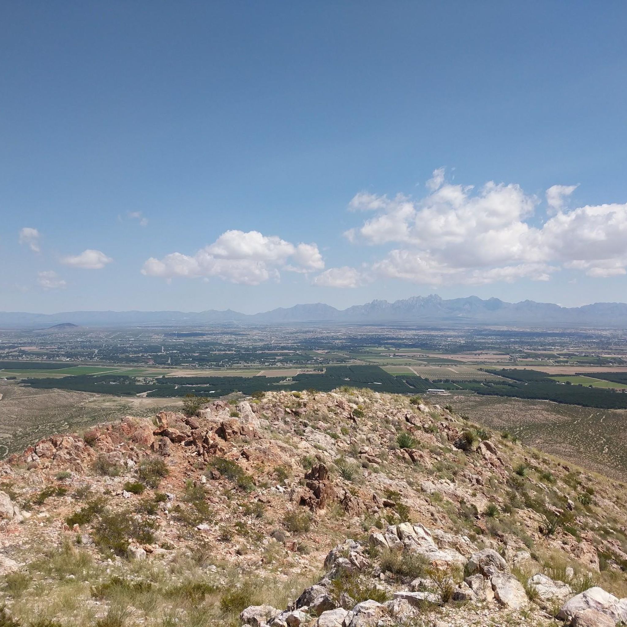
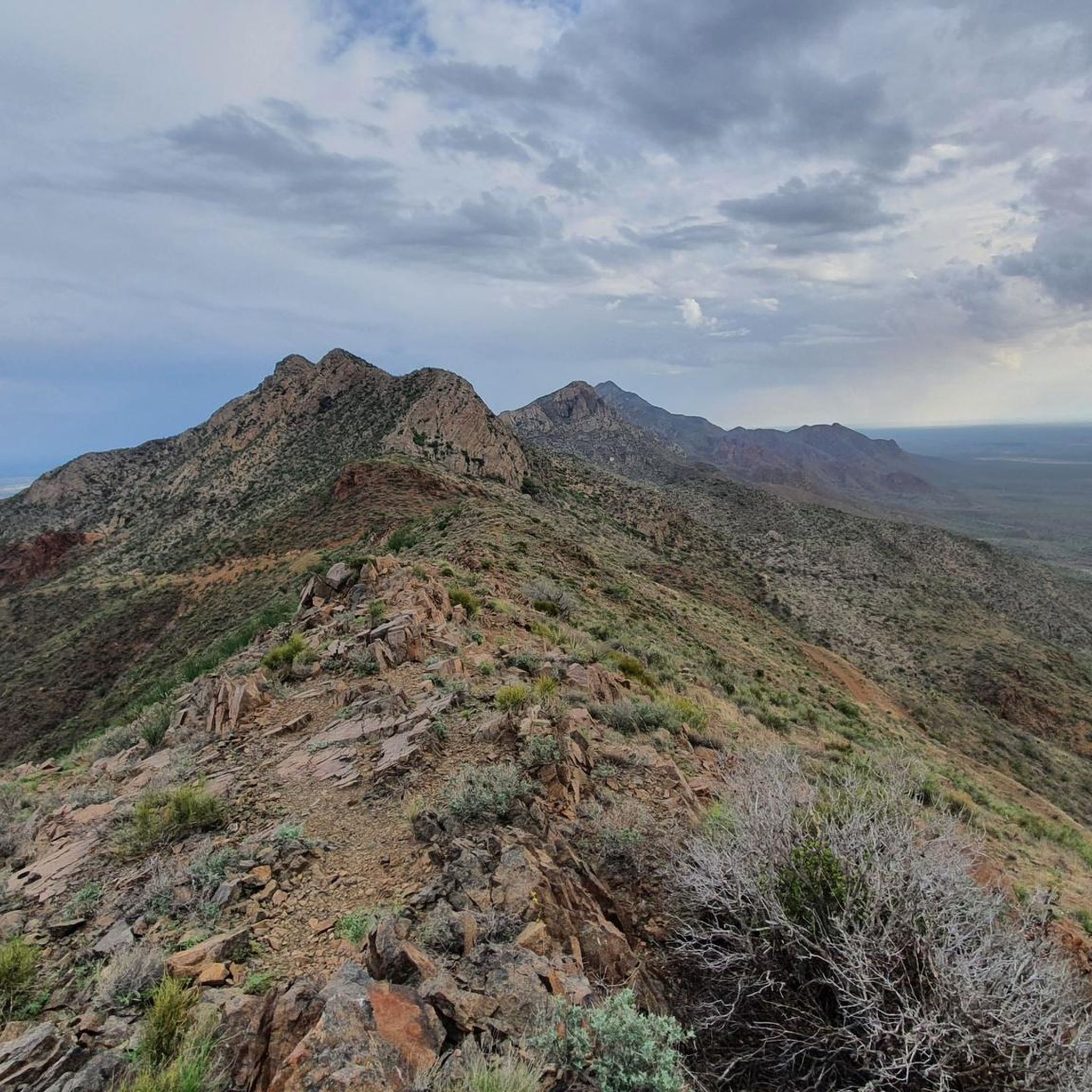
Jogging routes in Organ Mountains-Desert Peaks National Monument traverse a diverse landscape, from the Chihuahuan Desert to the dramatic rocky spires of the Organ Mountains. This region features varied terrain, including desert mountains, flat plains, and unique volcanic areas with cinder cones and lava flows. Runners can experience open desert vistas, narrow canyons, and woodlands across nearly 500,000 acres.
Best jogging routes in Organ Mountains-Desert Peaks National Monument
- The most popular jogging route is Baylor Canyon Pass – Baylor Canyon loop from Baylor Canyon, a 11.2 miles (18.1 km) trail that takes 2 hours 31 minutes to complete. This difficult route offers expansive views of Las Cruces and the Tularosa Basin.
- Another top favourite among local runners is Tortugas Mountain loop from Tortugas Mountain Observatory, a moderate 2.6 miles (4.2 km) path. This loop provides varied terrain and views around Tortugas Mountain.
- Local runners also love the Running loop from The Pueblos at Alameda Ranch, a 3.8 miles (6.2 km) trail leading through desert landscapes, often completed in about 38 minutes.
- Jogging in Organ Mountains-Desert Peaks National Monument is defined by Chihuahuan Desert expanses, rocky spires, and volcanic landscapes. The network offers options for moderate to difficult ability levels.
- The guide includes highly-rated routes that showcase the best of the region's landscape. More than 50 runners have used komoot to explore Organ Mountains-Desert Peaks National Monument's varied terrain.
Last updated: June 28, 2026
5
runners
18.1km
02:32
690m
690m
Hard run. Very good fitness required. Mostly paved surfaces. Suitable for all skill levels.
5
runners
4.22km
00:36
210m
210m
Moderate run. Good fitness required. Mostly paved surfaces. Suitable for all skill levels.

Sign up for free
3
runners
6.19km
00:39
60m
60m
Moderate run. Good fitness required. Mostly paved surfaces. Suitable for all skill levels.
3
runners
6.87km
00:43
50m
50m
Moderate run. Good fitness required. Mostly paved surfaces. Suitable for all skill levels.
10
runners
7.35km
00:46
20m
20m
Moderate run. Good fitness required. Mostly paved surfaces. Suitable for all skill levels.
Get access to more routes and recommendations from other explorers.
Sign up for free
Already have an account?
Our route recommendations are based on thousands of hikes, rides, and runs completed by other people on komoot.
Start today with a free account
Your next adventure awaits.
Login or Signup
Popular around Organ Mountains-Desert Peaks National Monument



Other adventures in Organ Mountains-Desert Peaks National Monument

Tips from the Community

As you ascend the high desert the views start to open up around you. From here you are around halfway to the pass!
0
0
This is a great trail but it can be a little difficult to follow here. The trail is much more clear once you reach the canyon, but for this segment you may want to consult the digital map to make sure you don't stray onto a cow path. Start early to make sure you beat the heat!
0
0
There is a day use fee for the Baylor Pass Trail ($3 as of 2024). You can camp at Aguirre Spring or park and hike from here. There is a little shaded picnic table at the trailhead with views out across the desert.
0
0
This is a great turn-around point if you are hiking the Baylor Pass Trail. You can also head up toward Baylor Peak to an overlook or the summit itself. The pass tends to be quite windy so hold onto your hats!
0
0
This trail is incredible. The views of the mountains from along the tree-lined trail are fantastic the whole way and the scenery is stunningly beautiful. The hike is challenging enough to be interesting without being difficult.
0
0

A visit to IHOP Las Cruces is worthwhile for the good pancakes.
0
0
The Organ Mountains (Organ Mountains, also known as La Sierra de los Órganos) are a rugged mountain range in southern New Mexico in the southwestern United States. Organ Mountains-Desert Peaks National Monument was designated a National Monument on May 21, 2014. They are located 16 km east of the city of Las Cruces in the district of Doña Ana. The Organ Mountains are located at the southern end of a long mountain range on the east side of the Rio Grande's Rift Valley. The mountain range almost borders the San Andres Mountains to the north and the Franklin Mountains to the south, but is geologically very different. While the San Andres and Franklin Mountains are both formed from west-dipping fault blocks of mostly sedimentary strata (limestone being the most prominent), the Organ Mountains are composed primarily of igneous rocks (intrusive granite and extrusive rhyolite).
0
0
The Las Cruces Dam was constructed in 1975 by the U.S. Army Corps of Engineers to reduce flood damage from rivers originating in the Las Cruces and Alameda Arroyos. Historically, the Las Cruces and Alameda Arroyos meandered through the area, providing invaluable riparian areas in the Chihuahuan Desert landscape. The Chihuahuan Desert is considered one of the most biologically diverse ecoregions in the world. The dam had a detrimental impact on the historic community as it terminated the arroyos' historic river routes and eliminated wetlands and riparian habitats. The project is located in the Las Cruces Dam flood basin in the City of Las Cruces, Dona Ana County, NM. The Las Cruces Dam is located just east of Interstate 25 on the east side of the city. The project consists of the construction of a 3/4 acre permanent wetland and a 3/4 acre seasonal wet meadow with wetland vegetation, with reclaimed
0
0
Frequently Asked Questions
How many running routes are available in Organ Mountains-Desert Peaks National Monument?
There are 12 dedicated running routes in Organ Mountains-Desert Peaks National Monument listed on komoot. These routes cater to various fitness levels, with 11 moderate and 1 difficult option, offering diverse terrain from desert plains to mountain trails.
What is the best time of year for jogging in Organ Mountains-Desert Peaks National Monument?
The desert-like climate of Organ Mountains-Desert Peaks National Monument makes jogging a year-round activity. However, it's crucial to pack plenty of water during summer months due to high temperatures and consider layers for cooler winter runs. Spring and fall generally offer the most pleasant conditions.
Are there any easy or family-friendly running trails in the monument?
Yes, while many routes are moderate, areas like the Dripping Springs Natural Area offer family-friendly, gentler paths. The 3.8-mile Running loop from The Pueblos at Alameda Ranch is another moderate option that is relatively flat and takes about 38 minutes to complete, making it suitable for a less strenuous run.
What do other runners enjoy most about jogging in Organ Mountains-Desert Peaks National Monument?
The area is highly rated by the komoot community, with an average score of 5.0 stars from 2 ratings. Over 50 runners have explored these trails. Users often praise the diverse and scenic landscapes, from open desert vistas to dramatic mountain spires, and the variety of terrain that offers both challenging and more relaxed running experiences.
Are there any circular running routes in the area?
Yes, several routes are designed as loops, offering a convenient way to start and finish at the same point. Examples include the 4.2 km Tortugas Mountain loop from Tortugas Mountain Observatory and the 6.2 km Running loop from The Pueblos at Alameda Ranch. The 4.5-mile Pine Tree Trail is also a popular loop option mentioned in the region research.
Can I bring my dog on the running trails?
Organ Mountains-Desert Peaks National Monument is generally dog-friendly, but regulations can vary by specific trail or area. It's always best to check the official monument website for the most current rules regarding pets, including leash requirements and any restricted areas. You can find more information on the BLM website.
Are there any notable landmarks or viewpoints along the running routes?
Absolutely! The monument is rich in natural beauty and historical significance. You can find stunning features like the Fillmore Waterfall, a dramatic Slot canyon, and the impressive Baylor Canyon. The Baylor Canyon Pass – Baylor Canyon loop from Baylor Canyon offers expansive views of Las Cruces and the Tularosa Basin. The monument also features unique volcanic landscapes like Kilbourne Hole.
Are there any challenging running routes for experienced runners?
Yes, for experienced runners seeking a challenge, the Baylor Canyon Pass – Baylor Canyon loop from Baylor Canyon is classified as difficult. This 18.1 km (11.2 miles) route involves significant elevation changes (over 690 meters up and down) and takes approximately 2 hours and 31 minutes to complete, offering rewarding views.
What kind of wildlife can I expect to see while running?
The diverse ecosystems of the monument support a variety of wildlife. Birdwatching is particularly popular, with over 210 species attracted to the natural springs. You might also spot desert animals such as rabbits, roadrunners, various reptiles, and occasionally larger mammals like deer or javelina, especially during quieter times of the day.
Is there public transport available to access the running trails?
Public transport options directly to the trailheads within the vast Organ Mountains-Desert Peaks National Monument are limited. Most visitors access the monument by private vehicle. It's advisable to plan for car access or check local taxi/rideshare services from nearby Las Cruces for specific trailheads. For general information about the area, you can visit Visit Las Cruces.
Are there parking facilities at the trailheads?
Many popular trailheads within Organ Mountains-Desert Peaks National Monument, such as those for Dripping Springs Natural Area and Baylor Pass, offer designated parking areas. However, given the monument's size and varied access points, it's always recommended to check specific trailhead information before your visit to confirm parking availability and any potential fees.
Are there any permits or entrance fees required to access the running routes?
While much of the Organ Mountains-Desert Peaks National Monument is open access, some specific areas, like the Dripping Springs Natural Area, may have a small day-use fee. It's best to check the official Bureau of Land Management (BLM) website for the most up-to-date information on fees and any permit requirements for specific activities or locations within the monument. You can find details on the BLM website.
Most popular routes in Organ Mountains-Desert Peaks National Monument
Most popular attractions in Organ Mountains-Desert Peaks National Monument

Get inspired with the komoot mobile app


Explore more
Browse the best Running Trails & Routes in other regions.
