The best MTB trails in Mckinney Falls State Park
3.6
(6)
165
riders
9
rides
Mountain biking in McKinney Falls State Park offers routes through diverse landscapes characterized by the Texas Hill Country terrain. The park features limestone formations, creeks, and wooded areas, providing a mix of surfaces for mountain bikers. Onion Creek flows through the park, creating natural features like the Upper and Lower McKinney Falls. The trails navigate through these natural elements, offering varied experiences for riders.
Best mountain bike trails in Mckinney Falls State Park
- The most popular mountain bike trail is Onion Creek Hike and Bike Trail, a 2.9 miles (4.7 km) trail that takes about 16 minutes to complete. This hard-surfaced route provides scenic views of Onion Creek and its waterfalls.
- Another top favourite among local mountain bikers is Lou Neff Point – Waller Creek loop from Rainey Street Historic District, an easy 7.6 miles (12.3 km) path. This route offers a ride through urban green spaces and along waterways.
- Local mountain bikers also love the Southern Walnut Creek Trail loop from Montopolis Bridge, a 14.5 miles (23.3 km) trail leading through varied parkland, often completed in about 1 hour 26 minutes.
- Mountain biking in Mckinney Falls State Park is defined by limestone ledges, creek crossings, and Hill Country woods. The network offers options for different ability levels, with a focus on easy and moderate routes.
- The routes in Mckinney Falls State Park are highly rated by the komoot community with an average score of 2.5 stars from over 2 reviews. More than 141 mountain bikers have used komoot to explore Mckinney Falls State Park's varied terrain.
Last updated: September 27, 2026
4.71km
00:17
40m
40m
An easy 2.9-mile mountain biking trail in McKinney Falls State Park, following Onion Creek with scenic views and waterfalls.
6
riders
Easy mountain bike ride. Great for any fitness level. Suitable for all skill levels.

13
riders
24.2km
01:32
70m
70m
Easy mountain bike ride. Great for any fitness level. Suitable for all skill levels.
8
riders
Easy mountain bike ride. Great for any fitness level. Suitable for all skill levels.
11
riders
Easy mountain bike ride. Great for any fitness level. Suitable for all skill levels.
Get access to more routes and recommendations from other explorers.
Already have an account?
Our route recommendations are based on thousands of hikes, rides, and runs completed by other people on komoot.
Start today with a free account
Your next adventure awaits.

Tips from the Community

… best to be watched on the north side of Lady Bird Lake Right under the Congress ave. bridge
0
0
Get out of the city without leaving the city! A perfect walk for a short break during the day!
0
0

The Ann and Roy Butler Hike and Bike Trail takes you out over the waters of the Colorado River on a 1000-foot long boardwalk with stunning views across the azure water to the Austin skyline. There are two pull-off spots on either end to take in the views.
0
0

The trail winds its way through over 7.3 miles of diverse terrain, following Walnut Creek. Expect gentle inclines, flat stretches, and passages through lush forests. It also crosses Walnut Creek at several points with bridges and culverts, offering refreshing sights and sounds.
0
0

The South Congress Bridge becomes home to roughly 1.5 million bats every March through September. The bats emerge and drop from the bridge each night as they head out for their nightly feeding. There are usually crowds of spectators to watch the bats fly out.
0
0

Lady Bird Lake Hike & Bike Trail is a lovely bike pedestrian and bike trail that circumnavigates Lady Bird Lake in Austin, Texas. This well-maintained, low-grade trail is perfect for cyclists, runners, and families. The total trail is 10 miles long, but there's cut through trails and lots of access points, so you can make it as long or short as you want. Along the route, you can enjoy amenities like water fountains, restrooms, shady spots, boat launches, and places to cool off like the Barton Springs or Deep Eddy Pool, . Highlights include the Stevie Ray Vaughan statue at Auditorium Shores, the Bat Observation Center at the Austin American-Statesman, and Zilker Park, home to the Austin City Limits Music Festival.
0
0

These ruins were once inhabited by John Von Hagen, Thomas McKinney's horse trainer. It was constructed in the early 1850s and John managed the thoroughbreds until he moved to New York in 1873. The cabin is visited as part of the Onion Creek Hike and Bike Trail.
0
0

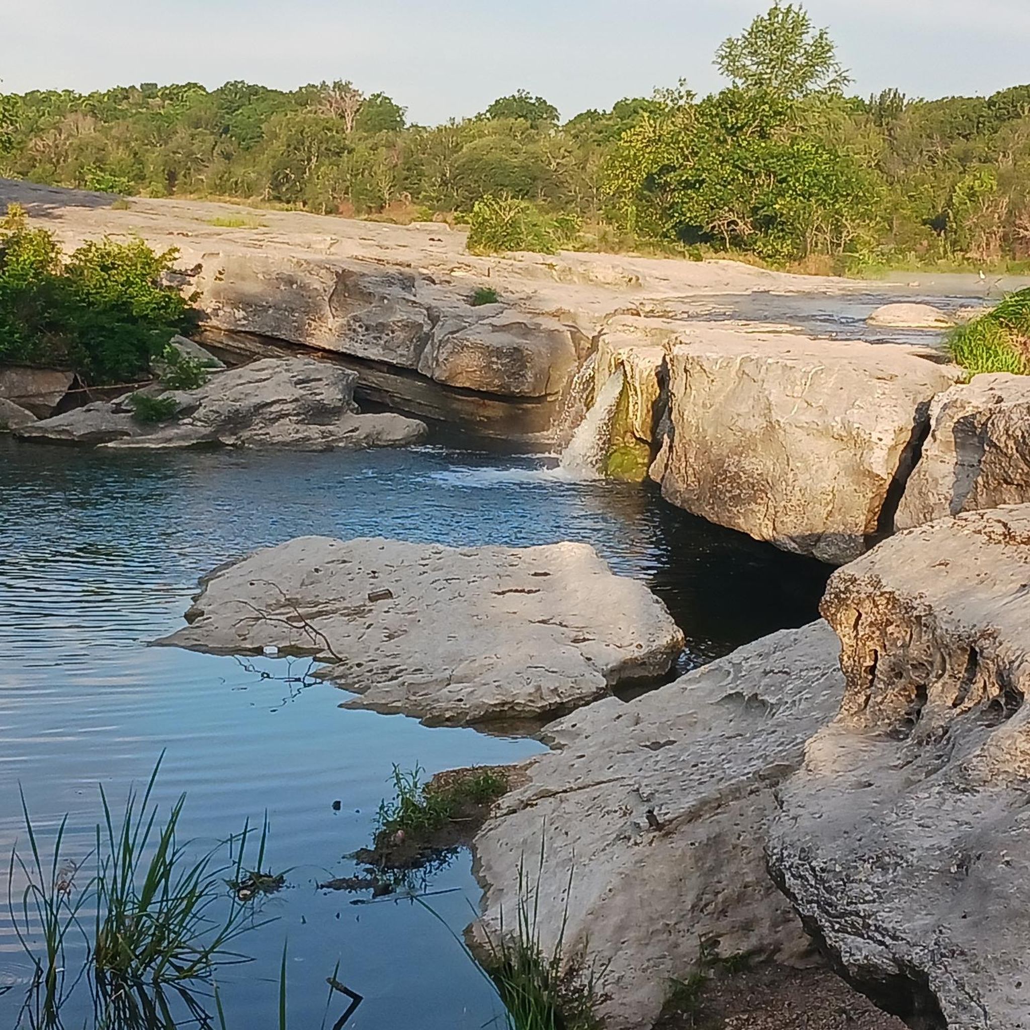
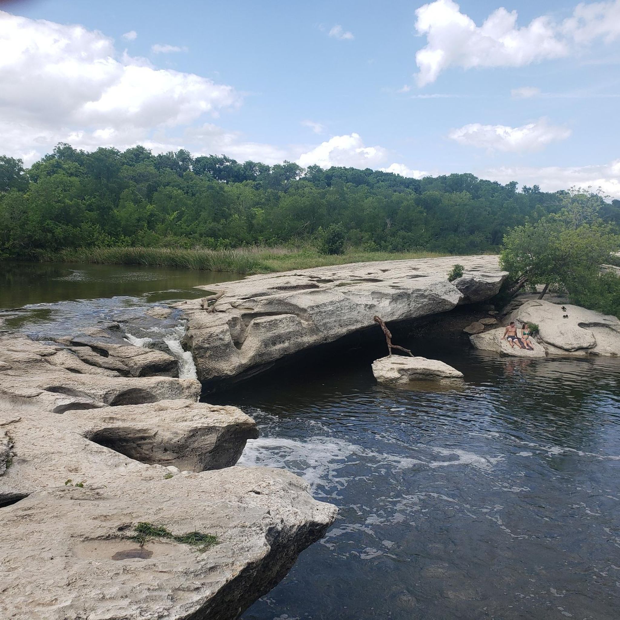
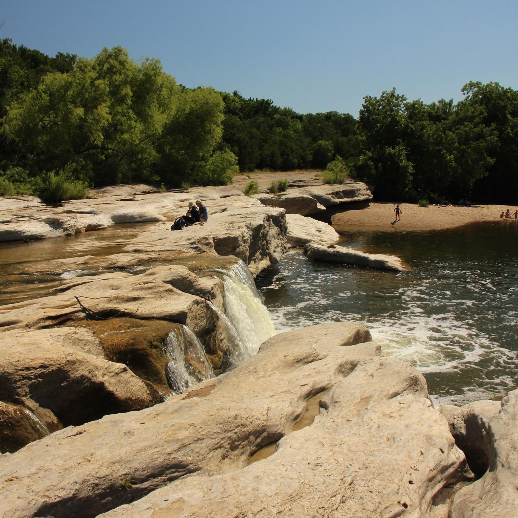
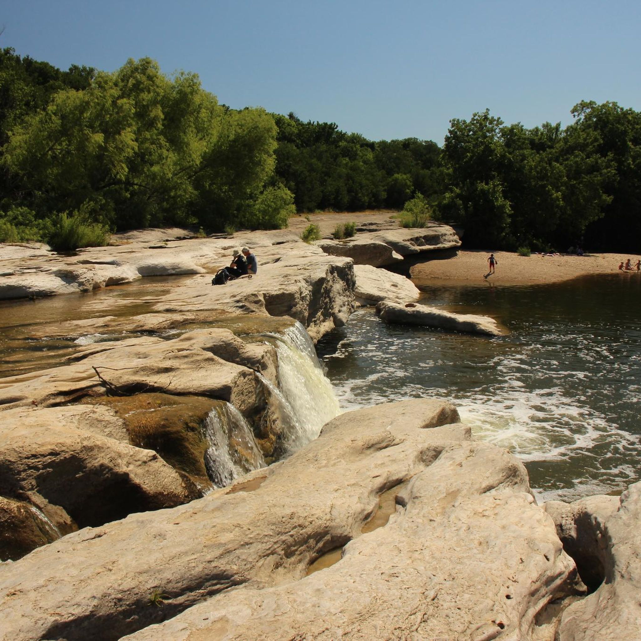
Onion Creek runs through the heart of McKinney Falls State Park and supplies the area's riparian and wetland environments. The waterfalls in the park are the reason most people visit, but the creek itself is a spectacle with lots of rapids, cascades, and canyons along with the waterfall spots.
0
0
Frequently Asked Questions
How many mountain bike trails are available in McKinney Falls State Park?
McKinney Falls State Park offers over a dozen mountain bike routes, with 14 routes available on komoot. The park features nearly nine miles of trails in total, providing options for various skill levels.
What kind of terrain can I expect on the mountain bike trails?
The trails in McKinney Falls State Park wind through the Texas Hill Country, characterized by limestone formations, creek crossings, and wooded areas. You'll encounter a mix of hard-surfaced paths and unpaved sections, with some areas requiring riders to dismount and push their bikes.
Are there any easy mountain bike trails suitable for beginners or families?
Yes, the park has several easy routes. The Onion Creek Hike and Bike Trail is a popular 2.8-mile hard-surfaced route with scenic views, suitable for various skill levels. The 4-mile Homestead Trail is also a good option for mountain biking and hiking.
Can I bring my dog on the mountain bike trails?
McKinney Falls State Park is generally dog-friendly, but dogs must be kept on a leash no longer than six feet at all times. Always ensure your dog is under control and that you clean up after them to maintain the park's natural beauty.
What natural features or landmarks can I see while mountain biking?
You can explore several notable natural features and landmarks. The park is home to the beautiful Upper Falls and McKinney Lower Falls along Onion Creek. You can also find 'Old Baldy,' a 500-year-old Bald Cypress tree, and the stone remains of the McKinney Homestead along the Homestead Trail. The Williamson Creek Overlook offers scenic views.
Are there any circular mountain bike routes in the park?
Yes, many of the trails in McKinney Falls State Park can be ridden as loops. For example, the Homestead Trail is a 4-mile loop, and the Flint Rock Loop also offers a circular option. You can find several loop routes on komoot, such as the Dick Nichols District Park loop, which is a moderate 37.8 km ride.
What is the best time of year to go mountain biking in McKinney Falls State Park?
The park is accessible year-round, but spring and fall generally offer the most pleasant weather for mountain biking, with milder temperatures and blooming wildflowers. Summers can be very hot, so early mornings or late afternoons are recommended during those months. Always check local weather conditions before your ride.
Is there parking available for mountain bikers at McKinney Falls State Park?
Yes, McKinney Falls State Park provides parking facilities for visitors. It's advisable to check the official park website for specific parking locations and any potential fees or reservation requirements before your visit. For more detailed information, you can visit the Texas Parks and Wildlife Department website.
What do other mountain bikers say about the trails in McKinney Falls State Park?
The mountain biking routes in McKinney Falls State Park are explored by many, with over 141 mountain bikers having used komoot to navigate the varied terrain. Riders often appreciate the diverse landscapes, the presence of natural features like the falls, and the mix of easy and moderate trails.
Are there any cafes or pubs near McKinney Falls State Park for after a ride?
While the park itself is primarily a natural area, its proximity to Austin means there are numerous cafes, pubs, and restaurants within a short drive. You'll find a variety of options in downtown Austin or the surrounding neighborhoods to refuel after your ride.
Are there any challenging mountain bike trails for experienced riders?
While the park primarily features easy and moderate routes, some sections of trails like the Homestead Trail can offer more challenging terrain, sometimes requiring riders to dismount. For a longer moderate ride, consider the Dick Nichols District Park loop, which covers 37.8 km.
Can I access McKinney Falls State Park using public transport?
McKinney Falls State Park is located about 13 miles from downtown Austin. While public transport options might get you close to the general area, direct public transportation to the park entrance itself may be limited. It's best to check with Austin's public transit authority (CapMetro) for the most current routes and schedules if you plan to rely on public transport.
Most popular routes in Mckinney Falls State Park
Most popular attractions in Mckinney Falls State Park

Get inspired with the komoot mobile app


Explore more
Browse the best MTB trails in other regions.
